| NAD83 COORDINATES (1996 adj.): |
|---|
| X= 550768.912 Y= 159322.330 Z= 905.5 10/20/2010 MnDot |
| 10/20/2010 | GM found by MnDOT. Coordinate established using total station w/ static GPS control (1996 adj). City Elev = 211.24 ft |
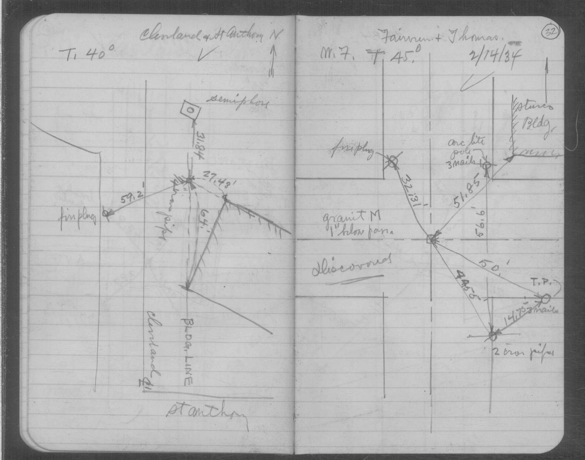
| 2/14/1934 | Placed ties on the monument. See book MSX 4 p.32 |
| 10/1/1887 | (Unknown date Oct __, 1887 ) Monument set by J H Armstrong from survey |
Above is NOT an all inclusive history of this point. Please review all the links below.
| PLS NOTES | Field | Cross Section | Sewer | J.B. Irvine | Monument | River Survey |
|---|---|---|---|---|---|---|
| MSX 0004 p.032 |