| NAD83 COORDINATES (1986 adj.): |
|---|
| X= 550774.62 Y= 158273.28 Z= 906.4 3/30/2010 RTK-VRS |
| NAD83 COORDINATES (1996 adj.): |
|---|
| X= 550774.278 Y= 158273.896 Z= 906.7 10/20/2010 MnDot |
| 10/20/2010 | GM found by MnDOT. Coordinate established using total station w/ static GPS control (1996 adj). City Elev = 212.44 ft |
| 3/30/2010 | Position on the GM established by RTK-VRS Elev. 906.4 ft. |
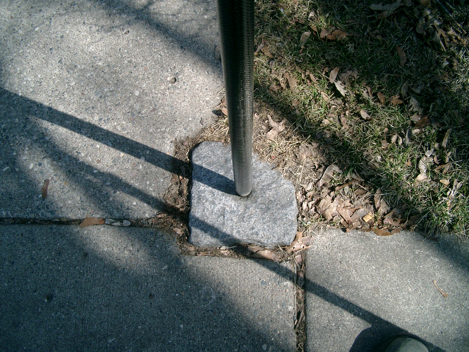
| 3/26/2010 | Found the GM 0.07 ft above sidewalk grade and placed ties. See CofL 4681-0893-A.pdf Photos taken. |
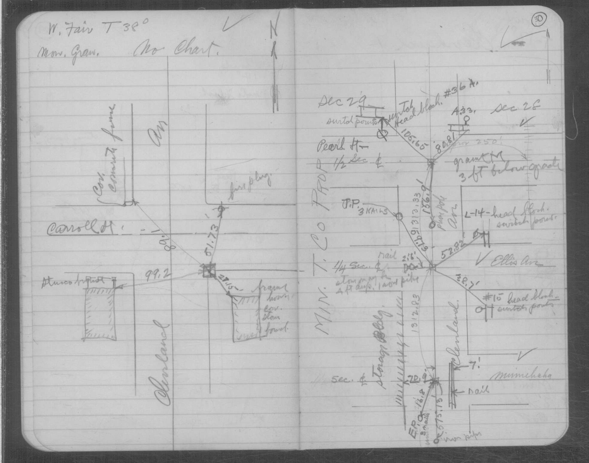
| 2/11/1934 | Placed ties on the GM at grade. See book MSX 4 p.30 |
Above is NOT an all inclusive history of this point. Please review all the links below.
| PLS NOTES | Field | Cross Section | Sewer | J.B. Irvine | Monument | River Survey |
|---|---|---|---|---|---|---|
| MSX 0004 p.030 |
| FILE | SURVEYOR | LIC. NO. | DATE SIGNED | DATE TIED |
|---|---|---|---|---|
| 4681-0893-A.pdf | Samuel D. Gibson | 44880 | May 13, 2010 | March 26, 2010 |
| FILE | PHOTO DATE | COMMENTS |
|---|---|---|
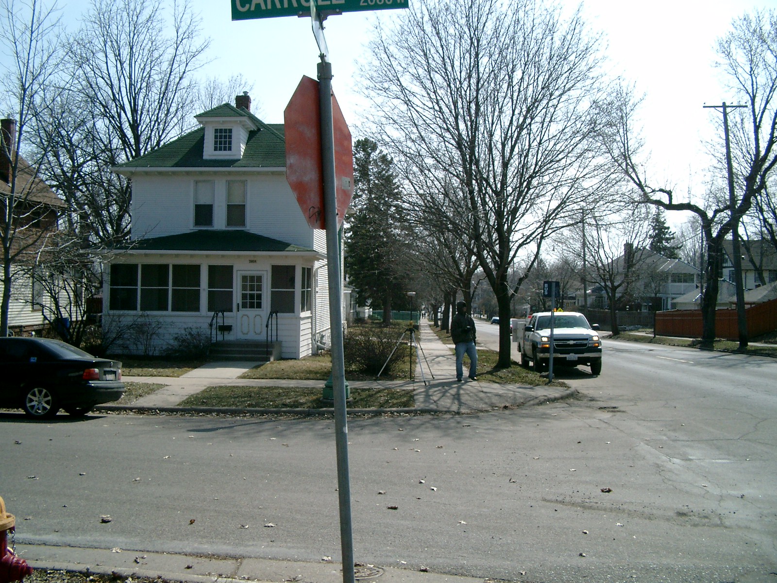
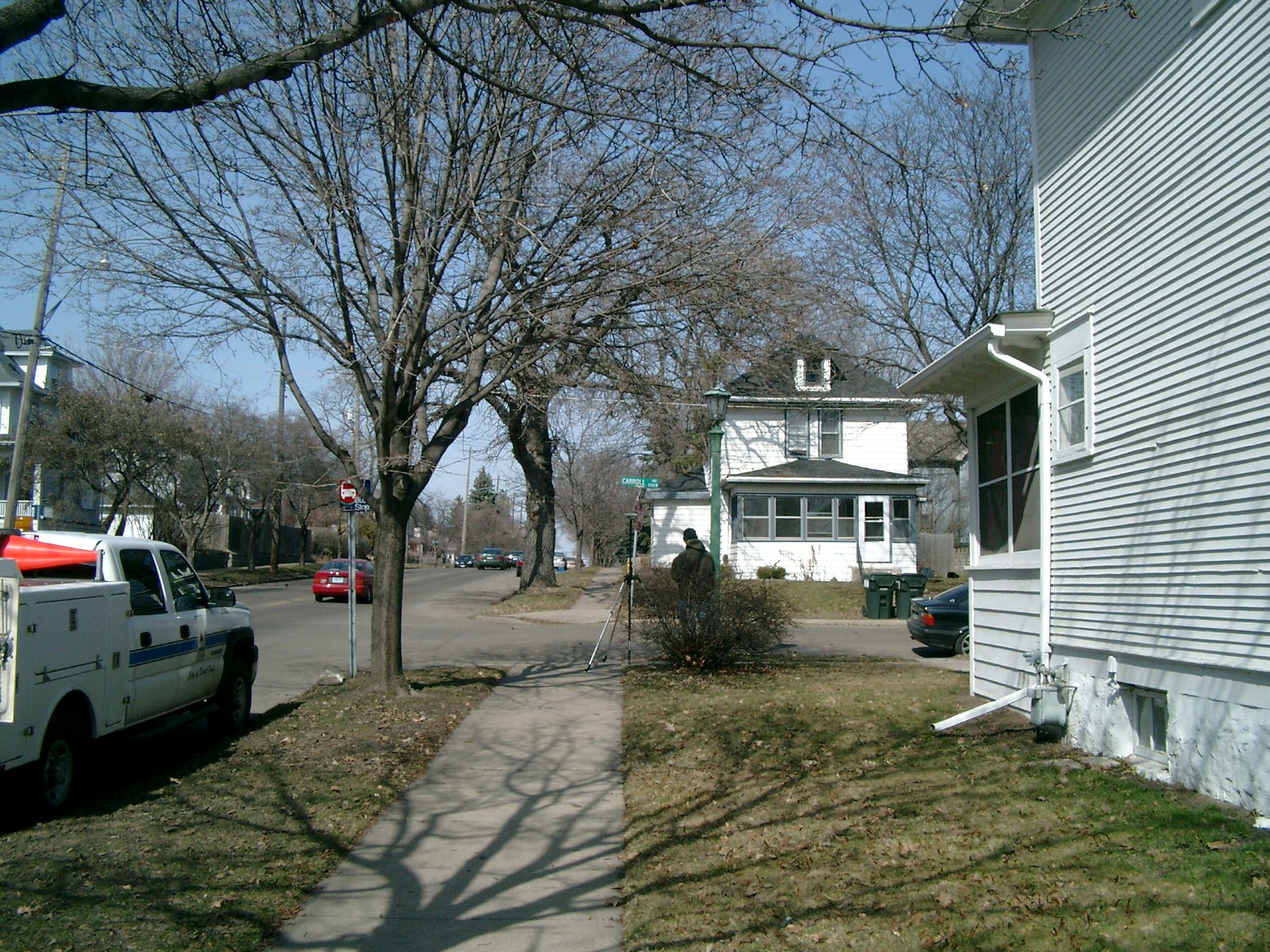
| 4681-0893-5.jpg | March 26, 2010 | Looking West along the South side of Carroll Ave. |
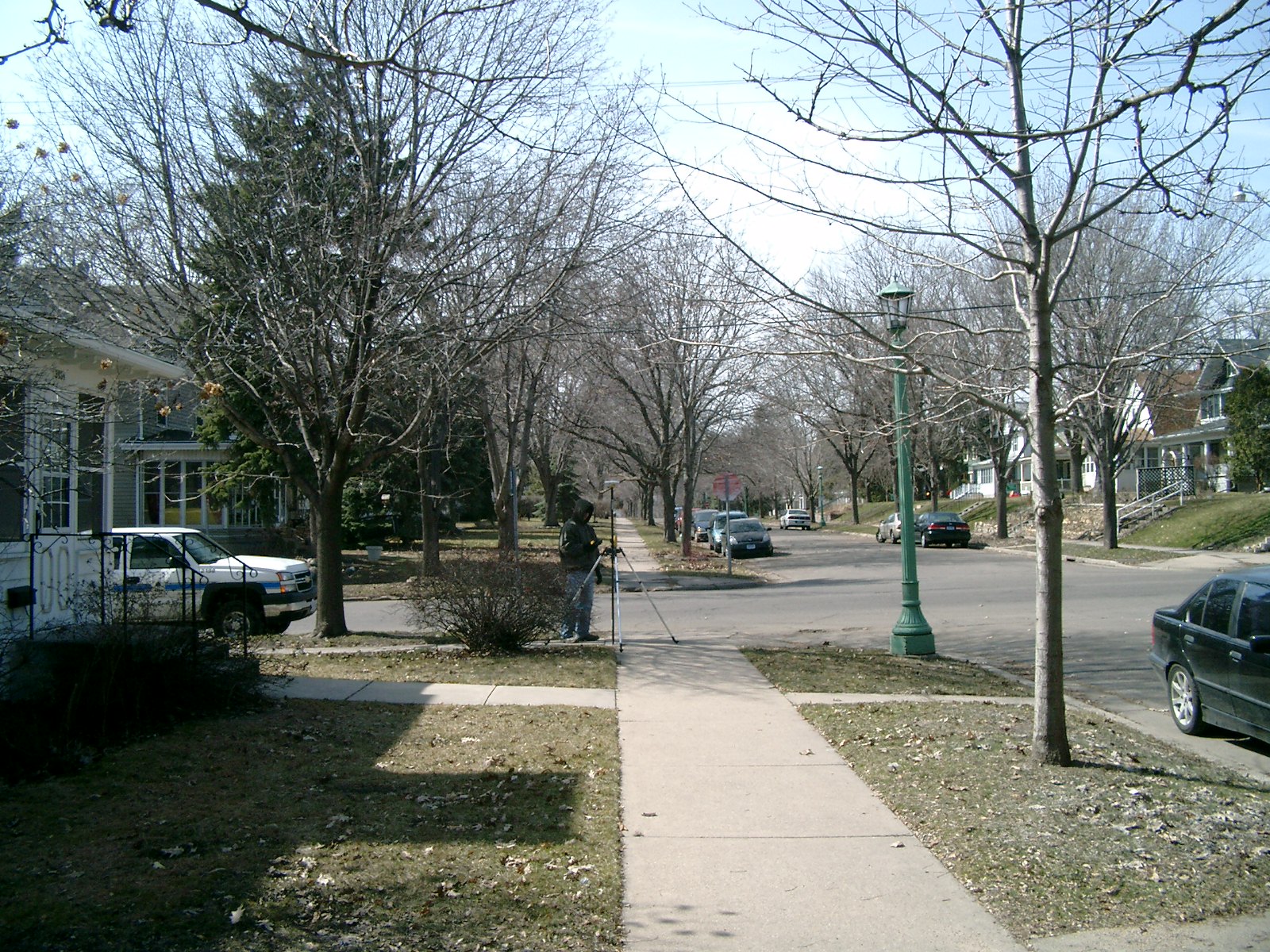
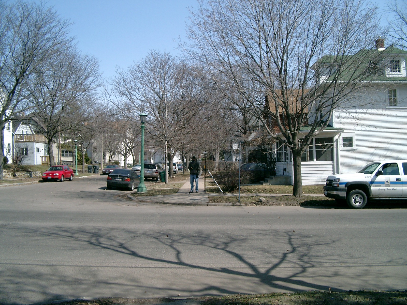
| 4681-0893-4.jpg | March 26, 2010 | Looking South along the East side of Cleveland Ave. |
| 4681-0893-3.jpg | March 26, 2010 | Looking East along the South side of Carroll Ave. |
| 4681-0893-2.jpg | March 26, 2010 | Looking North along the East side of Cleveland Ave. |
| 4681-0893-1.jpg | March 26, 2010 | Close-up of the GM at sidewalk grade. |