| NAD83 COORDINATES (1996 adj.): |
|---|
| X= 551189.598 Y= 158362.482 Z= 907.5 10/20/2010 MnDot |
| 10/20/2010 | CIM found by MnDOT. Coordinate established using total station w/ static GPS control (1996 adj). City Elev = 213.24 ft |
| 3/18/2010 | Found CIM cap in sidewalk panel. GM lies beneath panel. Photos taken and placed ties. See CofL 4683-0895B-A.pdf |
| 8/1/1893 | (Unknown date Aug __, 1893 ) Monument reset by J H Armstrong |
| 2/1/1887 | (Unknown date Feb __, 1887 ) Monument set in place of original stakes by R J Johnson |
| 1/1/1887 | (Unknown date ___ __, 1887 ) Monument not disturbed by grading wilder Ave in 1887 |
| FILE | SURVEYOR | LIC. NO. | DATE SIGNED | DATE TIED |
|---|---|---|---|---|
| 4683-0895B-A.pdf | Samuel D. Gibson | 44880 | May 13, 2010 | March 18, 2010 |
| FILE | PHOTO DATE | COMMENTS |
|---|---|---|
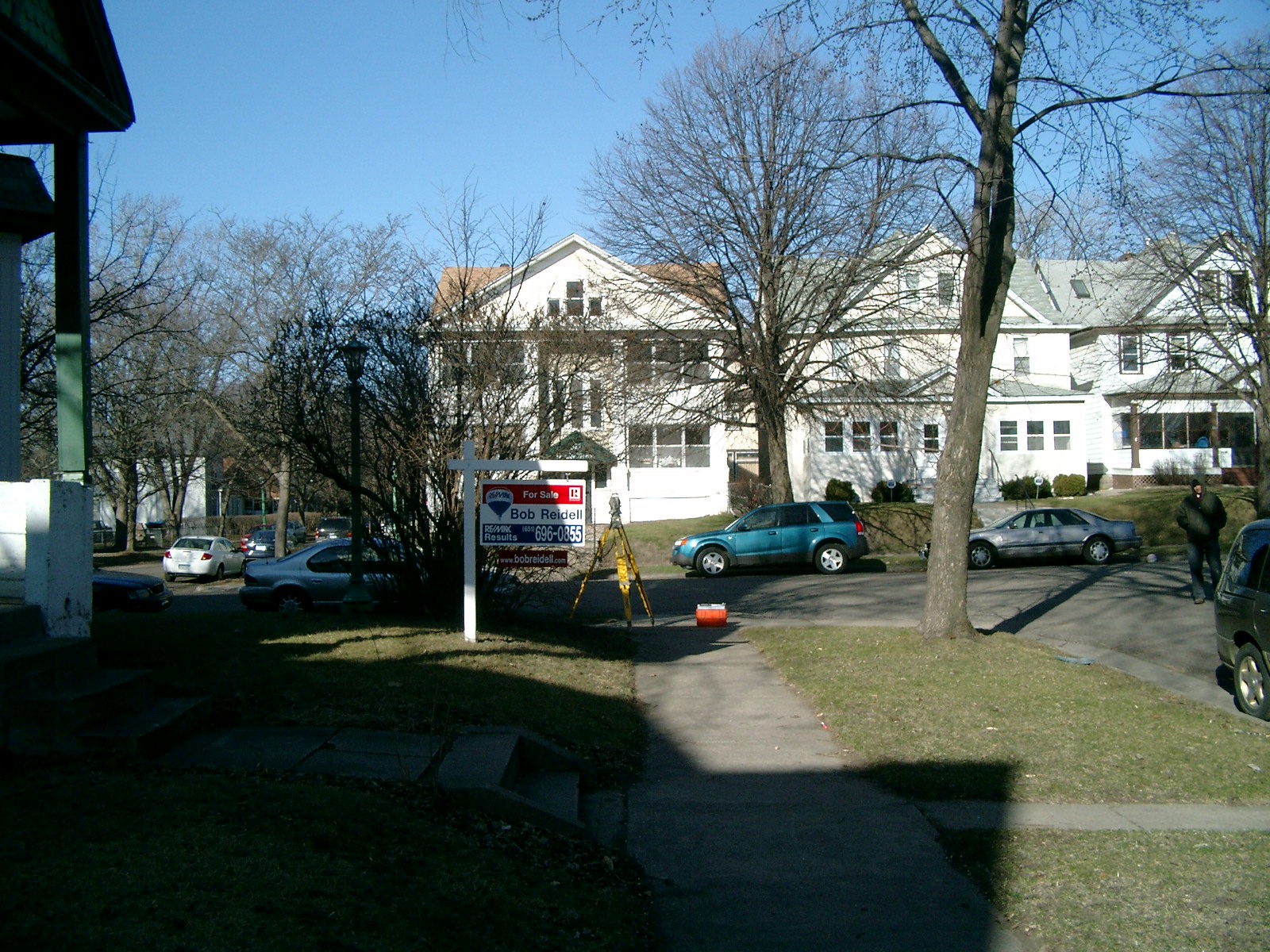
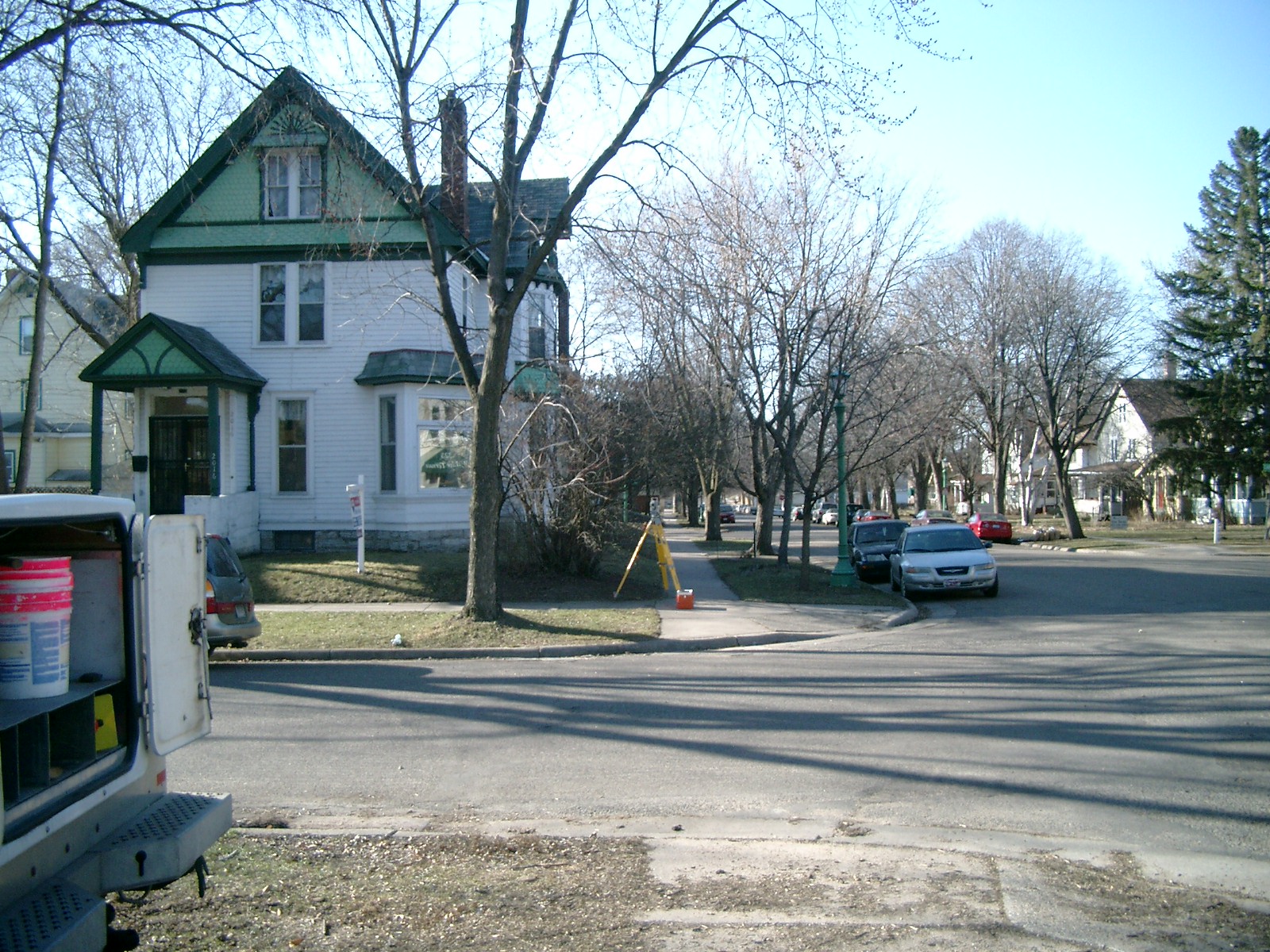
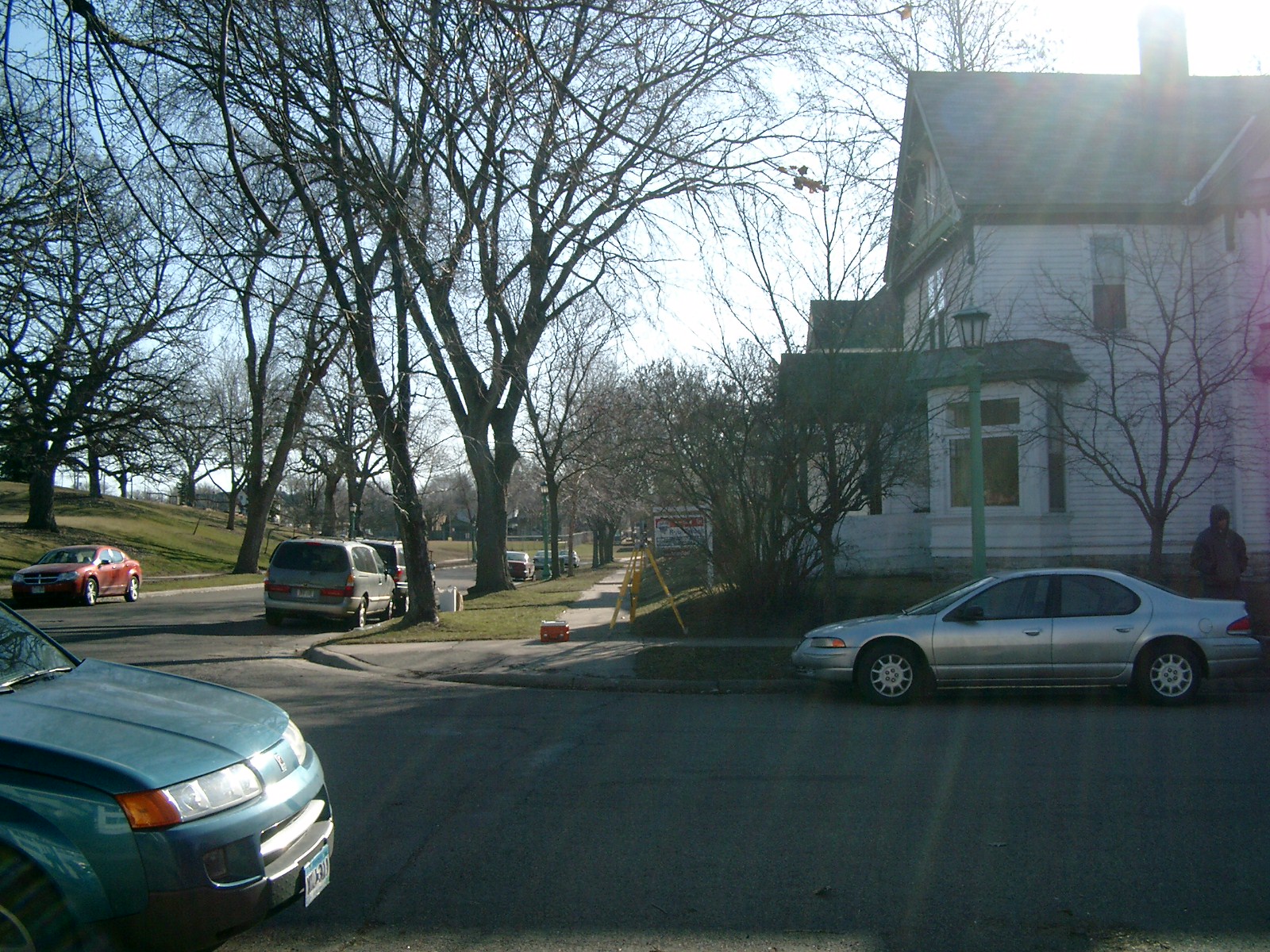
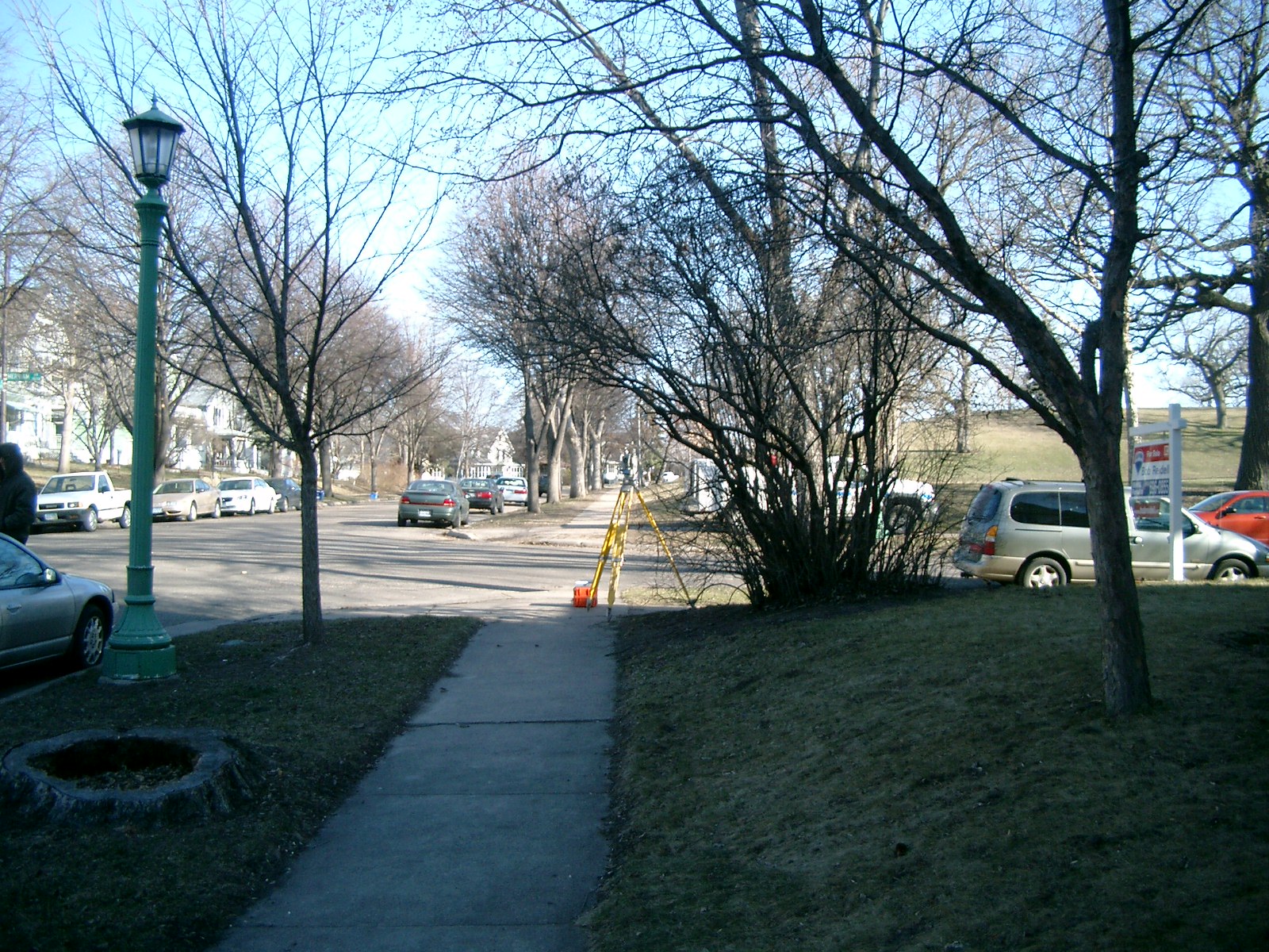
| 4683-0895B-6.jpg | March 18, 2010 | Looking West along the South side of Merriam Lane. |
| 4683-0895B-5.jpg | March 18, 2010 | Looking South along the East side of Wilder St. |
| 4683-0895B-4.jpg | March 18, 2010 | Looking East along the South side of Merriam Lane. |
| 4683-0895B-3.jpg | March 18, 2010 | Looking North along the East side of Wilder St. |
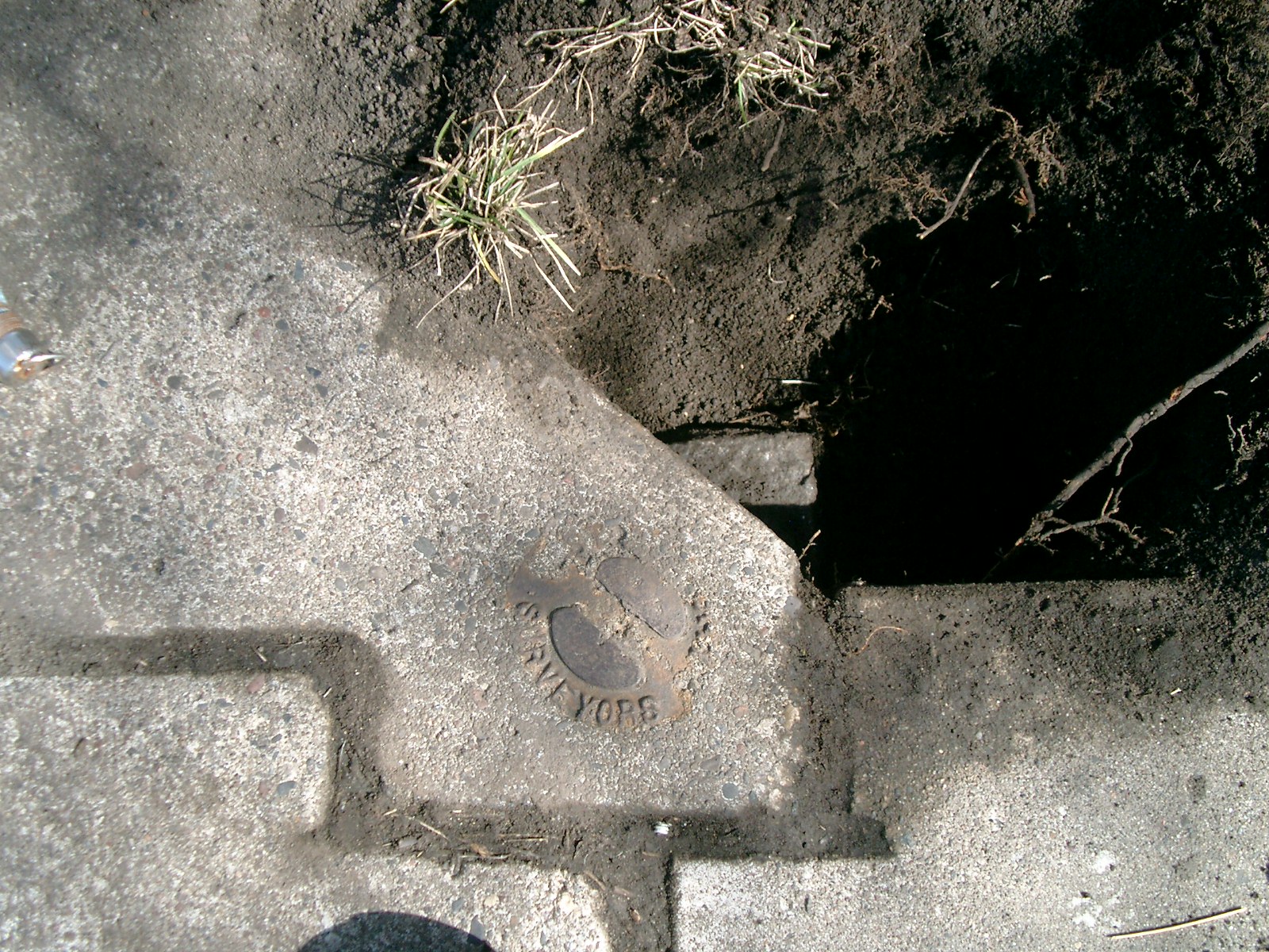
| 4683-0895B-2.jpg | March 18, 2010 | Close-up of the CIM in the sidewalk over the GM. |
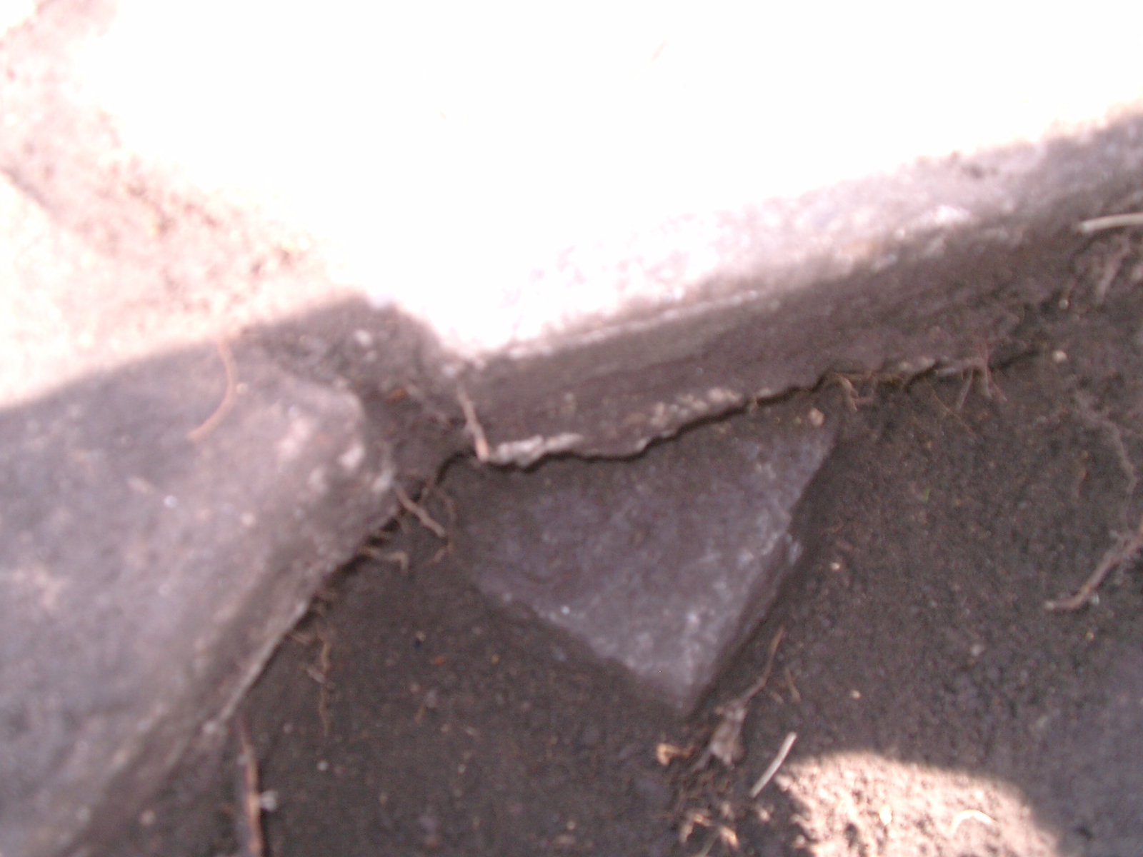
| 4683-0895B-1.jpg | March 18, 2010 | Close-up of the GM under the sidewalk. |