| 1/1/1980 | (Unknown date abt __, 198? ) Ties. See FB 202 p.07 |
| 1/1/1887 | (Unknown date ___ __, 1887 ) Monument set by Johnson as paved |
Above is NOT an all inclusive history of this point. Please review all the links below.
| PLS NOTES | Field | Cross Section | Sewer | J.B. Irvine | Monument | River Survey |
|---|---|---|---|---|---|---|
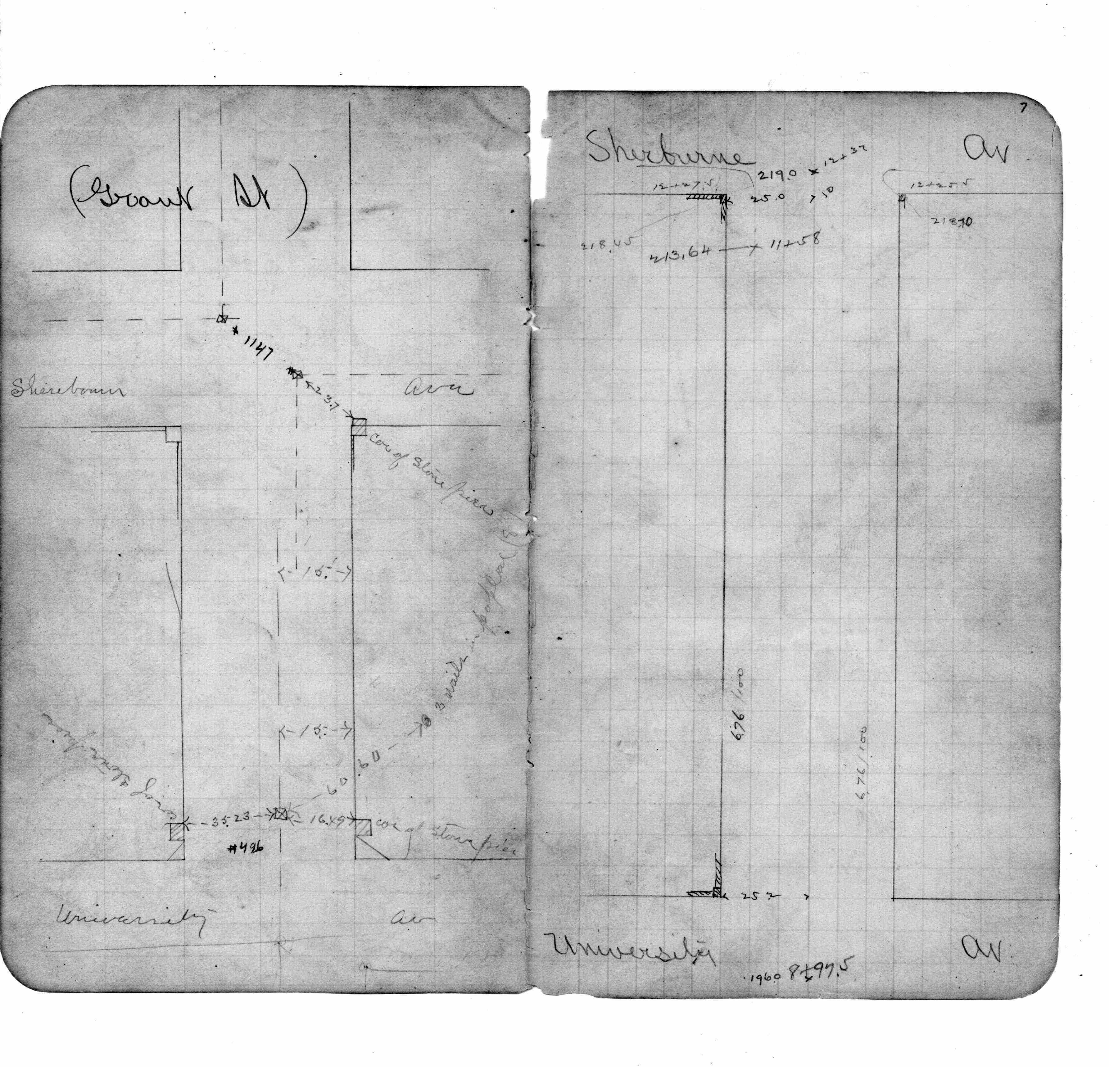
| FB 0202p.07 |