| 8/12/2014 | Ties placed on brass plug before it was removed for sidewalk reconstruction project. |
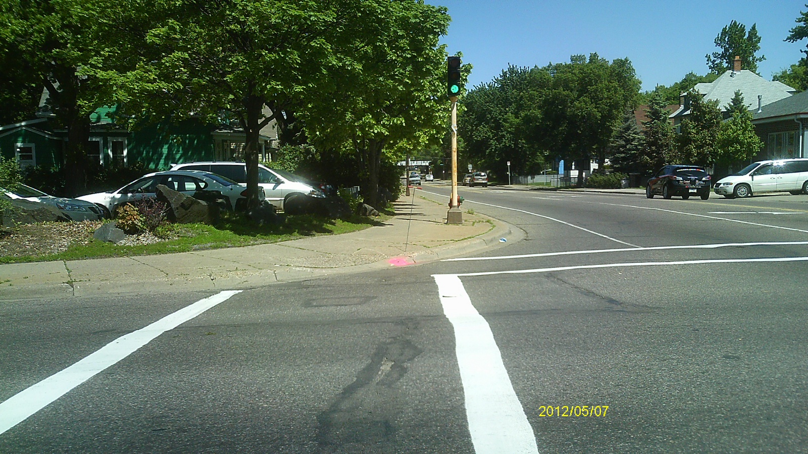
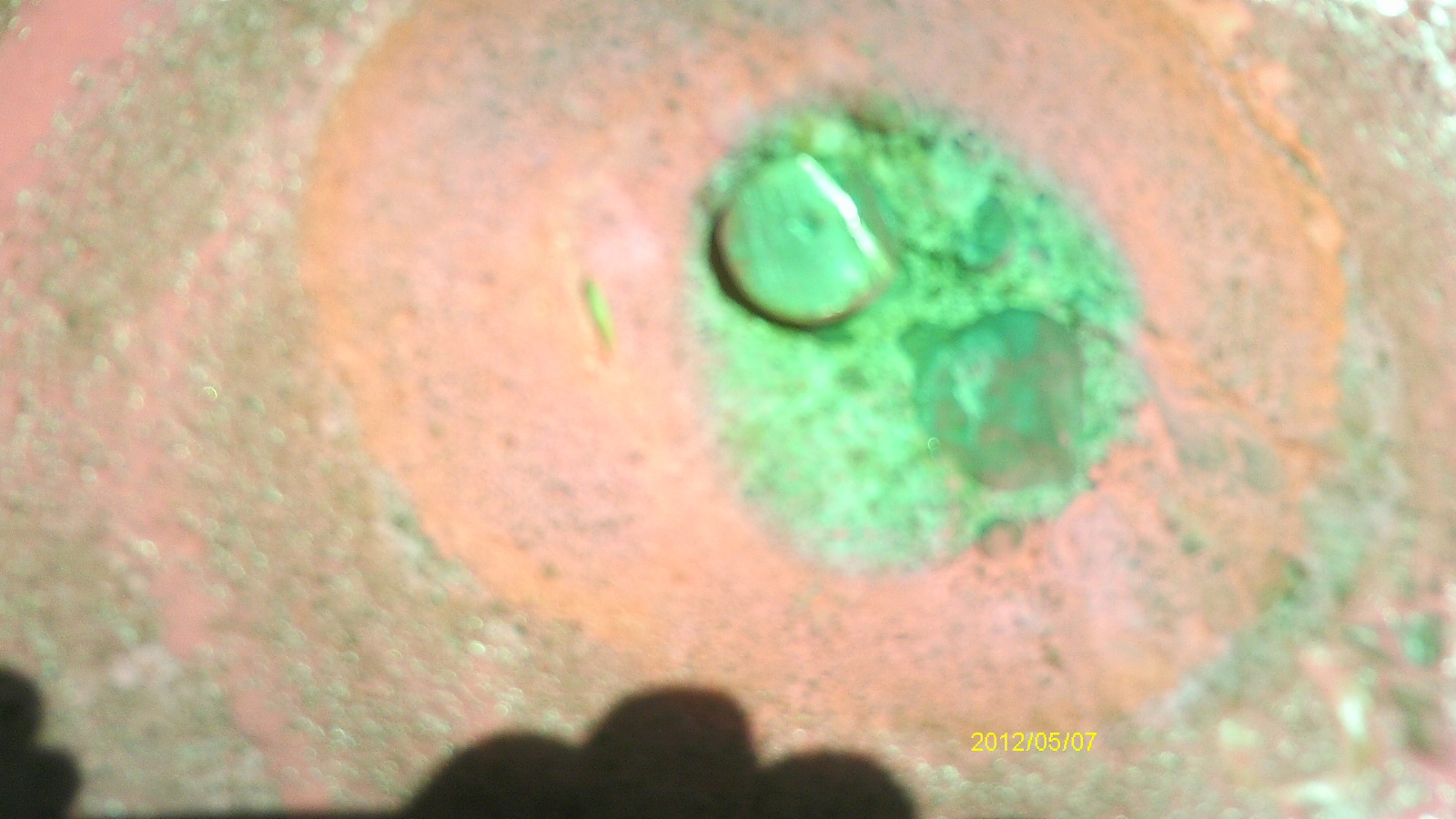
| 5/7/2012 | Found monument on outer edge of sidewalk in radius of corner. Photos taken and ties placed using steel tape. |
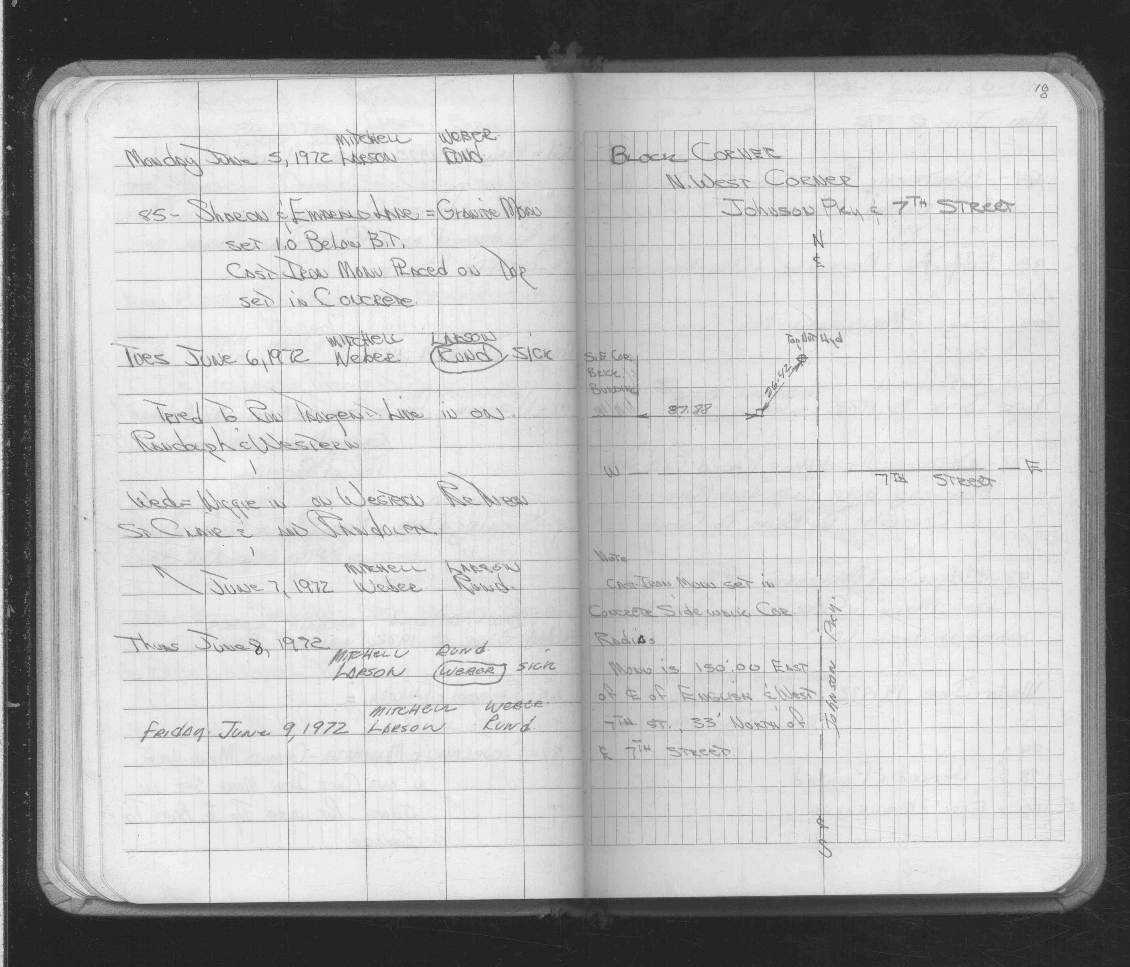
| 1/1/1900 | (Unknown date ___ __, ____ ) (ca. 1972) Placed ties, set CIM. See FB 1689A p.18 |
Above is NOT an all inclusive history of this point. Please review all the links below.
| PLS NOTES | Field | Cross Section | Sewer | J.B. Irvine | Monument | River Survey |
|---|---|---|---|---|---|---|
| FB 1689Ap.18 |
| FILE | SURVEYOR | LIC. NO. | DATE SIGNED | DATE TIED |
|---|---|---|---|---|
| 5008-1242-B.pdf | Samuel D. Gibson | 44880 | May 21, 2015 | August 12, 2014 |
| 5008-1242-A.pdf | Samuel D. Gibson | 44880 | August 31, 2012 | May 16, 2012 |
| FILE | PHOTO DATE | COMMENTS |
|---|---|---|
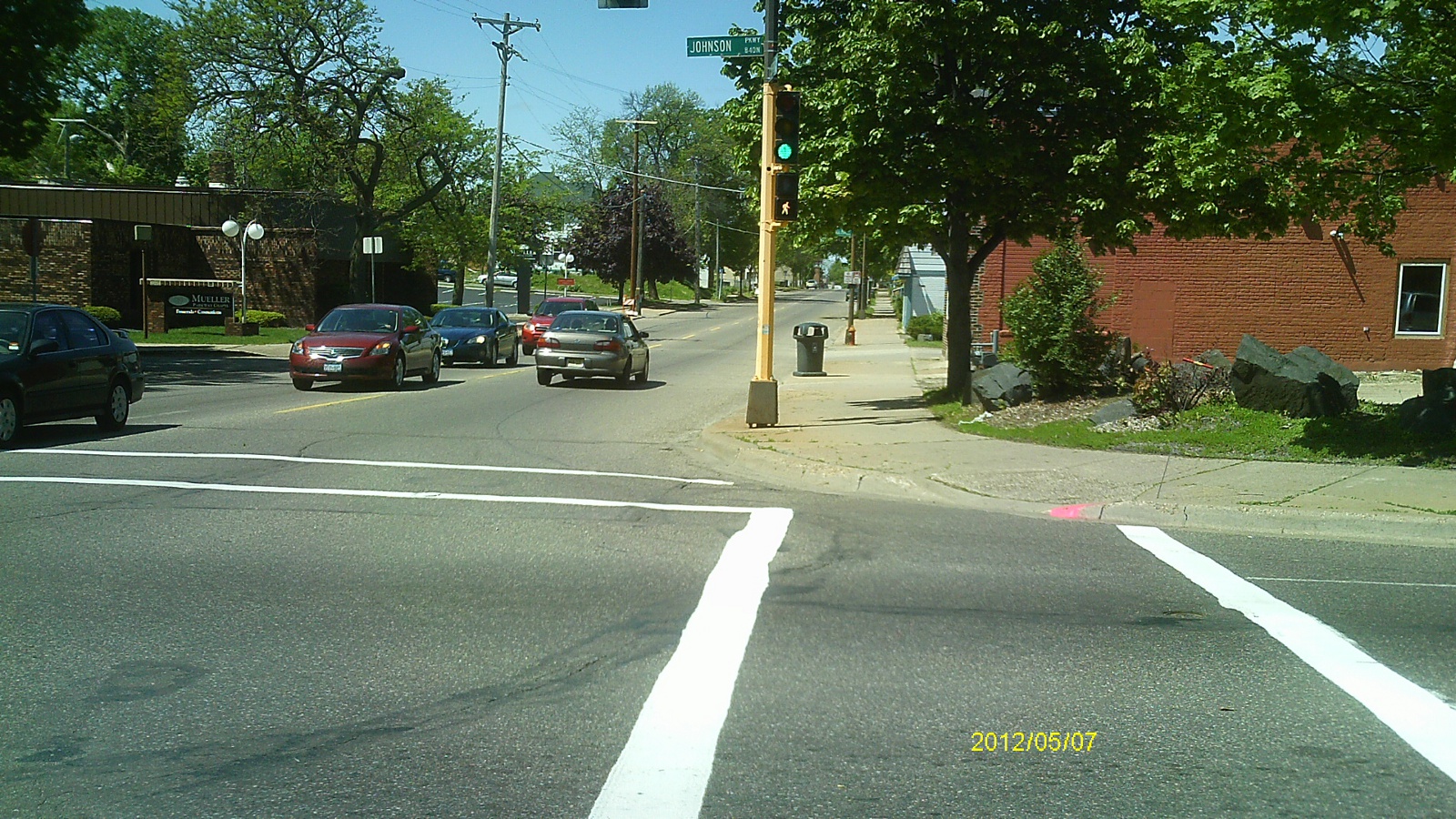
| 5008-1242-5.jpg | May 7, 2012 | Looking west along Seventh St. |
| 5008-1242-4.jpg | May 7, 2012 | Looking south along Johnson Pkwy. |
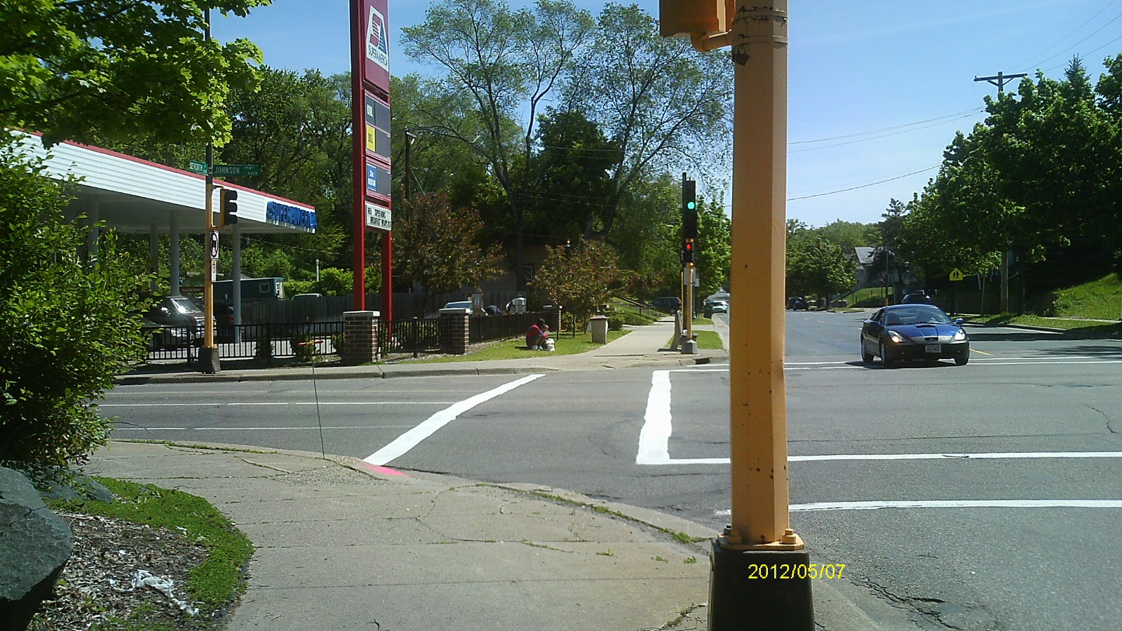
| 5008-1242-3.jpg | May 7, 2012 | Looking east along Seventh St. |
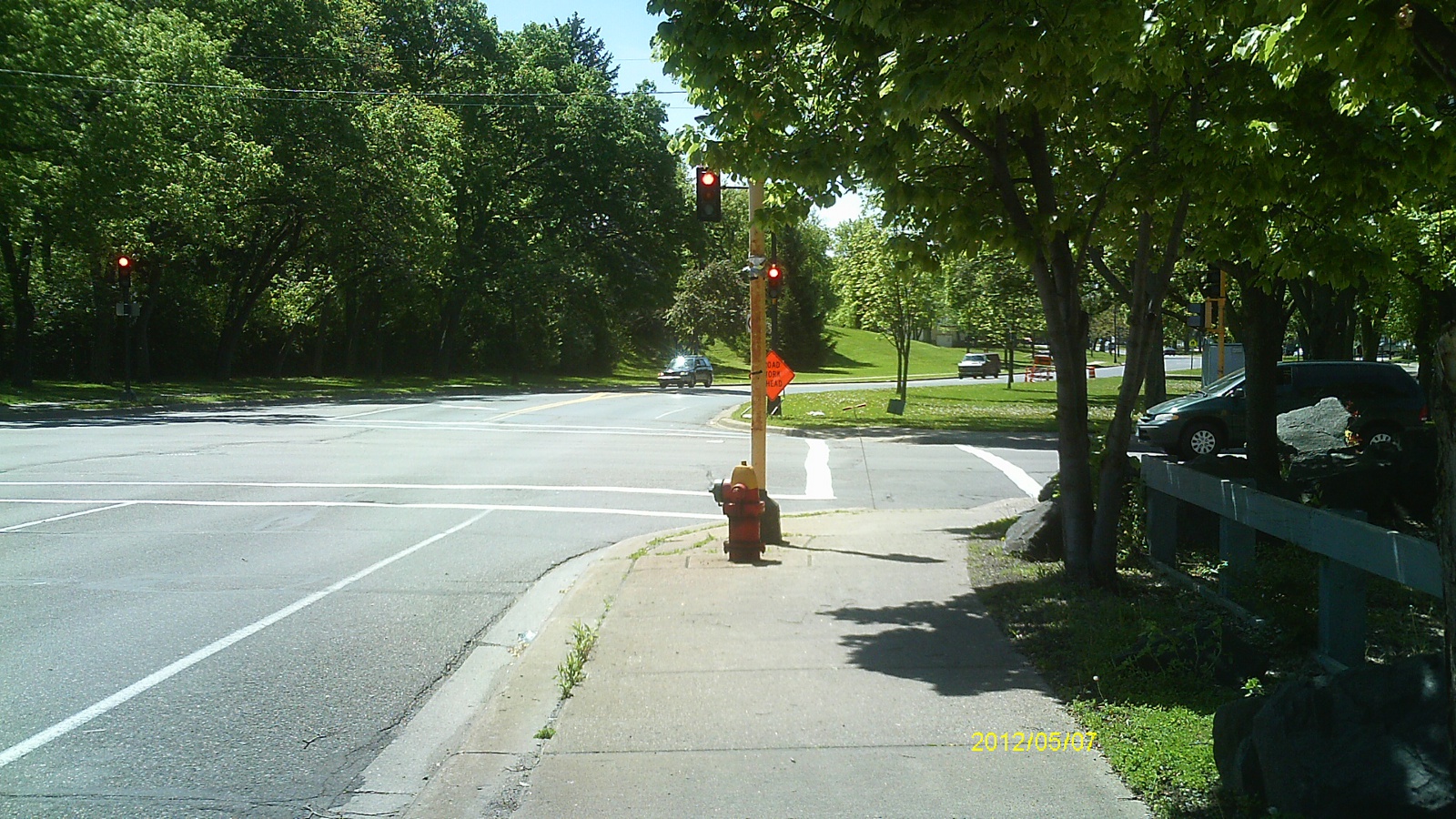
| 5008-1242-2.jpg | May 7, 2012 | Looking north along Johnson Pkwy. |
| 5008-1242-1.jpg | May 7, 2012 | Close up of monument. |