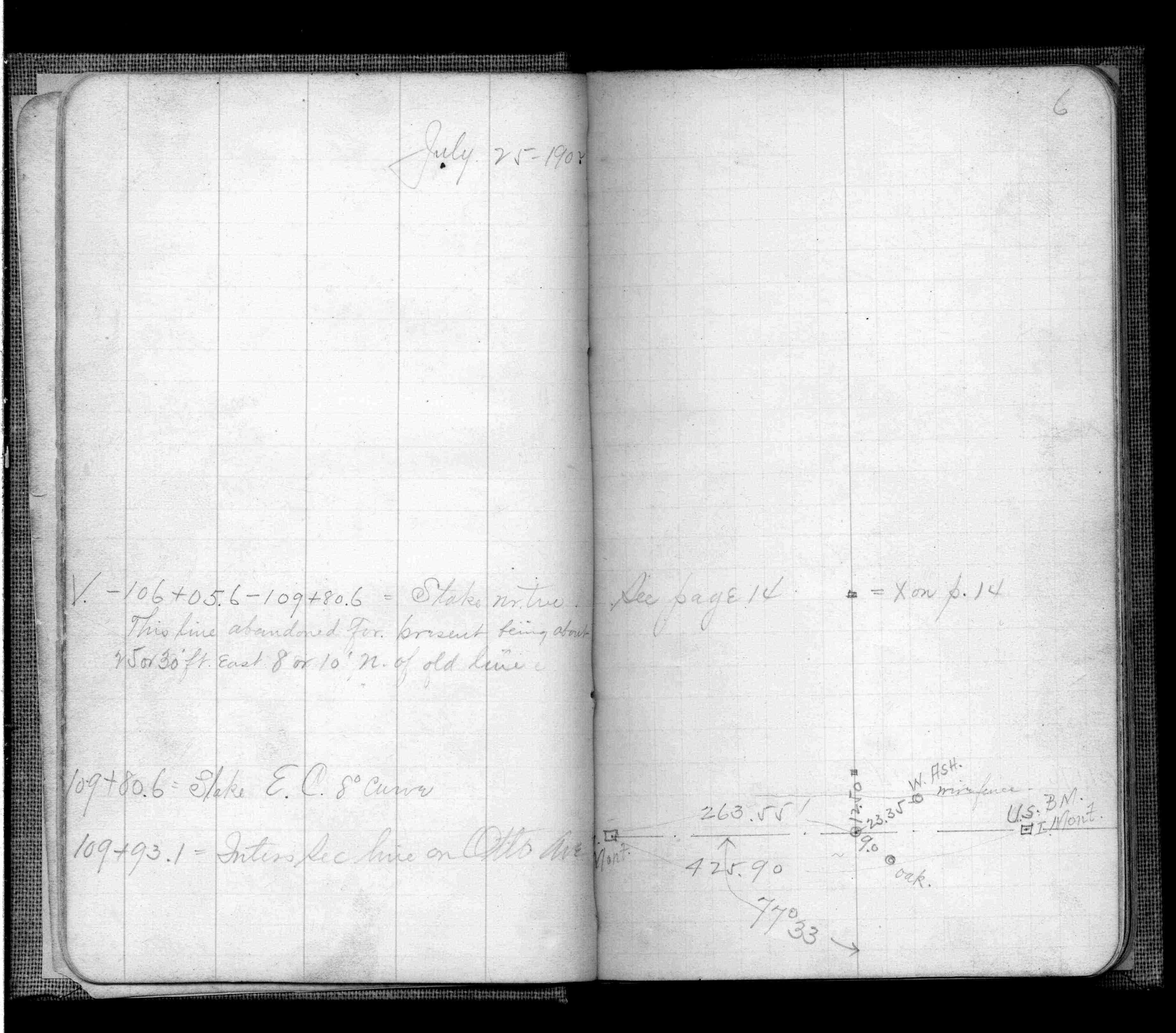
| 7/24/1902 | J B Irvine running out land lines in connection with Mississippi River Blvd. See FB 474 p.6 |
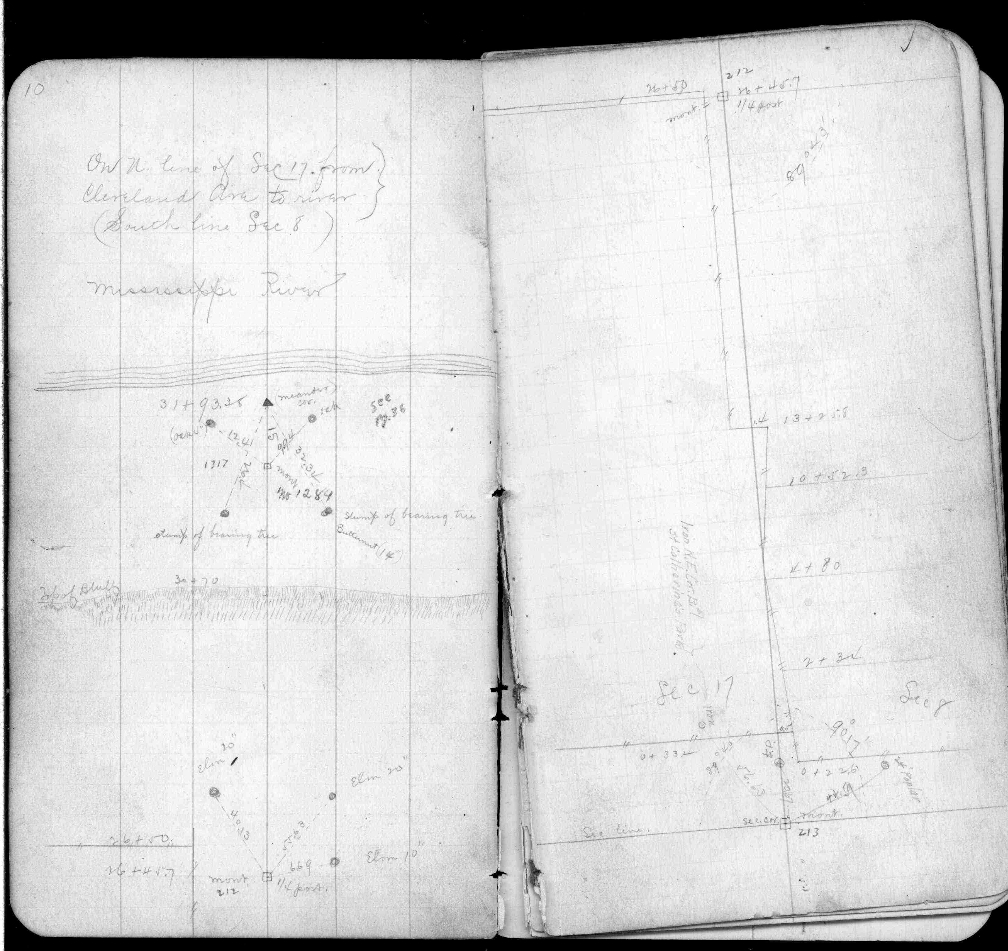
| 3/1/1888 | (Unknown date Mar __, 1888 ) Monument set as WC to MC by R J Johnson. See FB 249 p.10,36 |
Above is NOT an all inclusive history of this point. Please review all the links below.
| PLS NOTES | Field | Cross Section | Sewer | J.B. Irvine | Monument | River Survey |
|---|---|---|---|---|---|---|
| FB 0249p. 10 ,36 | ||||||
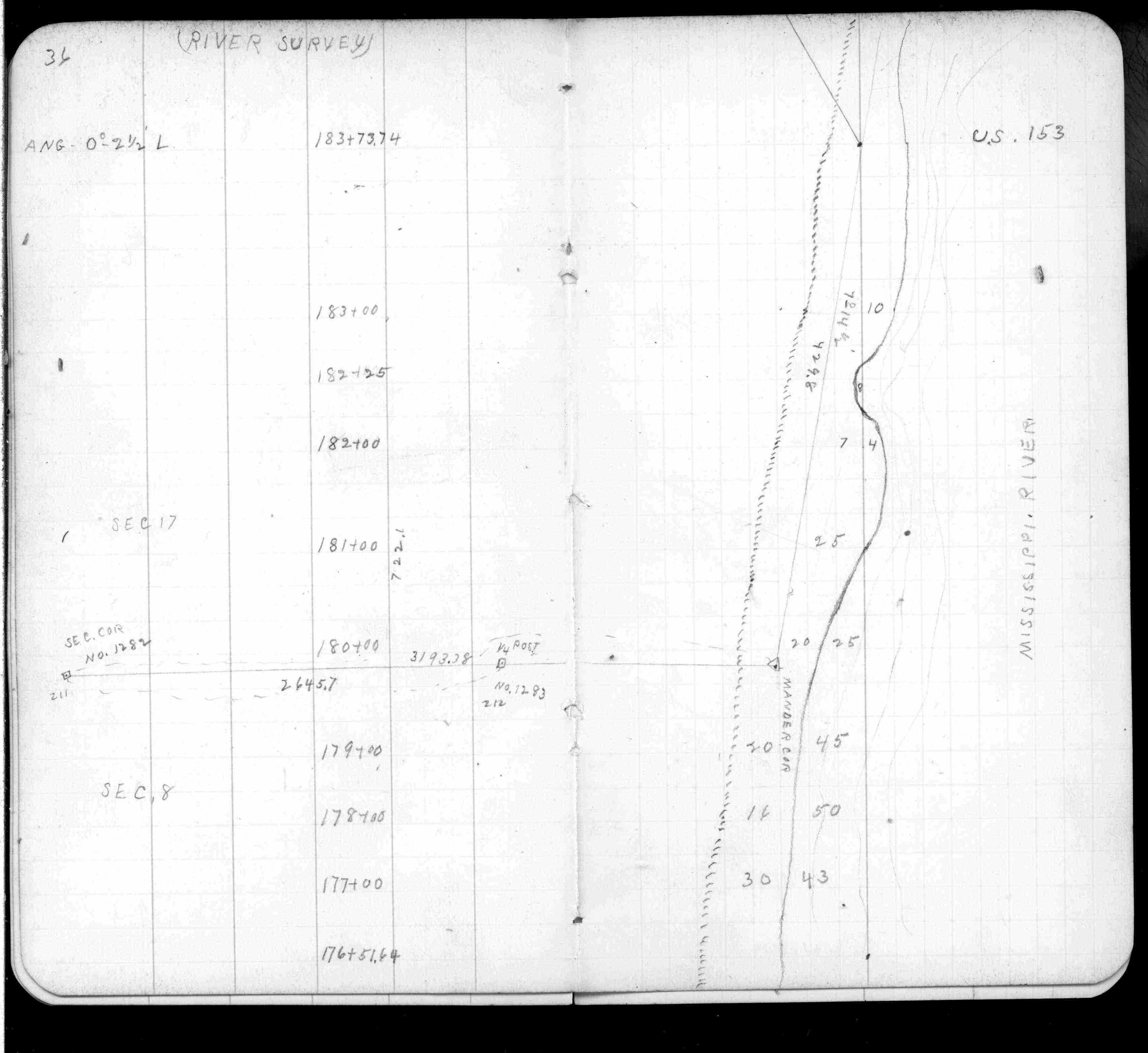
| FB 0474p.06 |