| NAD83 COORDINATES (1996 adj.): |
|---|
| X= 559730.661 Y= 143446.252 Z= 12/1/2014 MnDot |
| 12/1/2014 | (Unknown date Dec __, 2014) GM found by MnDOT under concrete island. Coordinate established using Static GPS (1996 adj.). |
| 3/1/1892 | (Unknown date Mar __, 1892 ) Monument reset by J B Irvine after grading. |
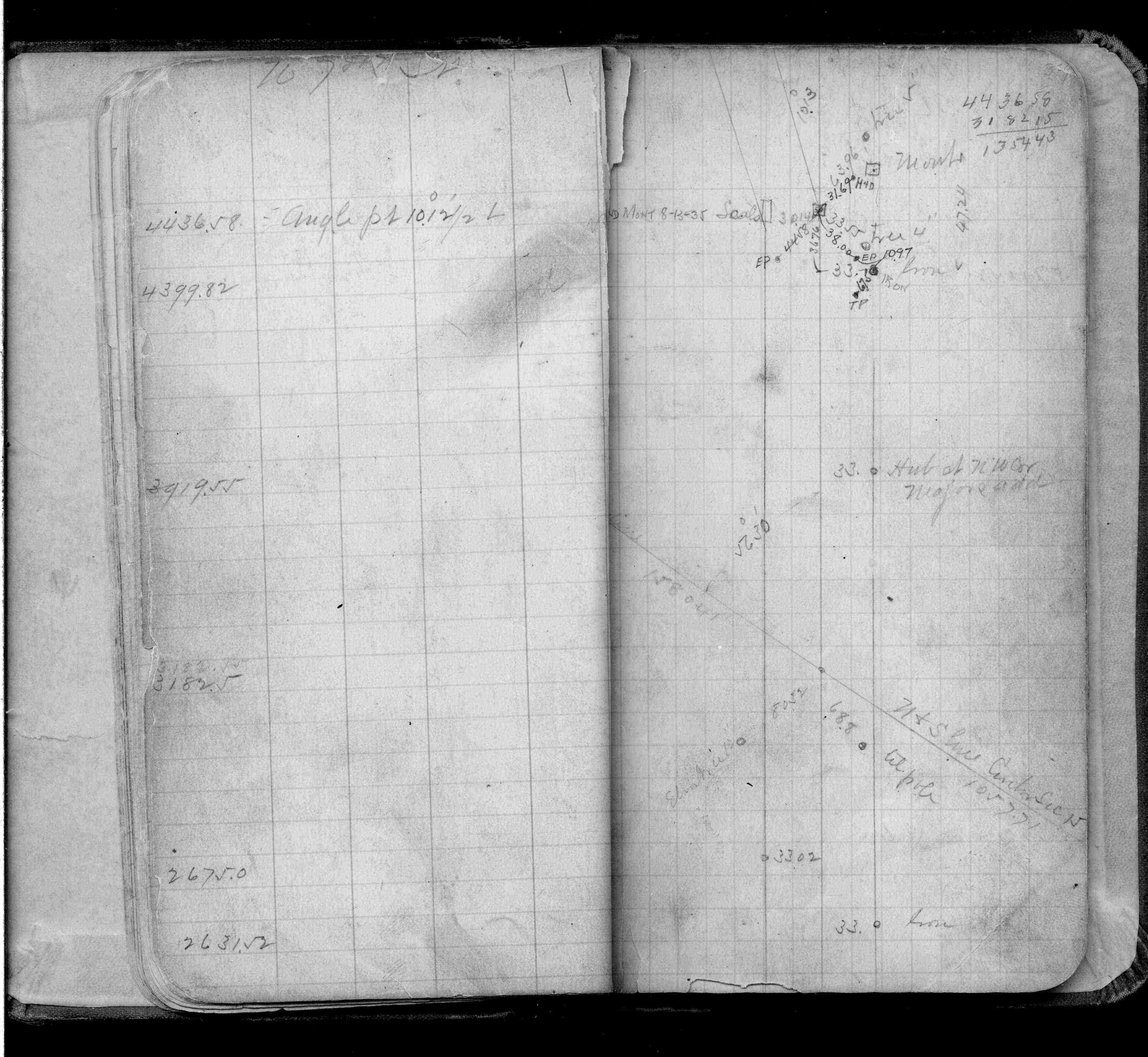
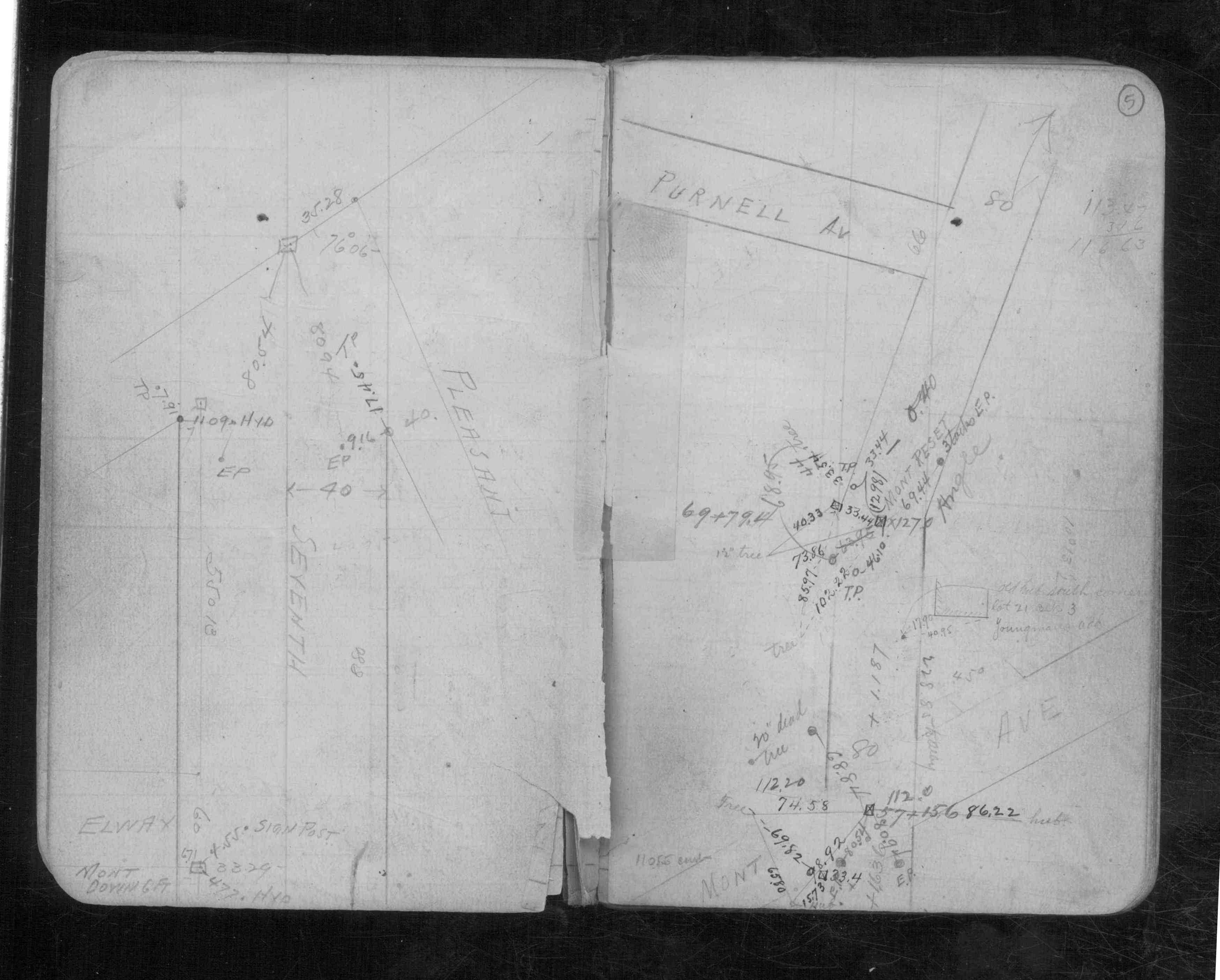
| 6/1/1888 | (Unknown date Jun __, 1888 ) Monument set by J H Armstrong. See FB 253 & CS 971 p.5 |
Above is NOT an all inclusive history of this point. Please review all the links below.
| PLS NOTES | Field | Cross Section | Sewer | J.B. Irvine | Monument | River Survey |
|---|---|---|---|---|---|---|
| FB 0253p.37 | CS 0971p.05 |