| NAD83 COORDINATES (1996 adj.): |
|---|
| X= 578404.866 Y= 147001.439 Z= 916.413 5/23/2014 MnDot |
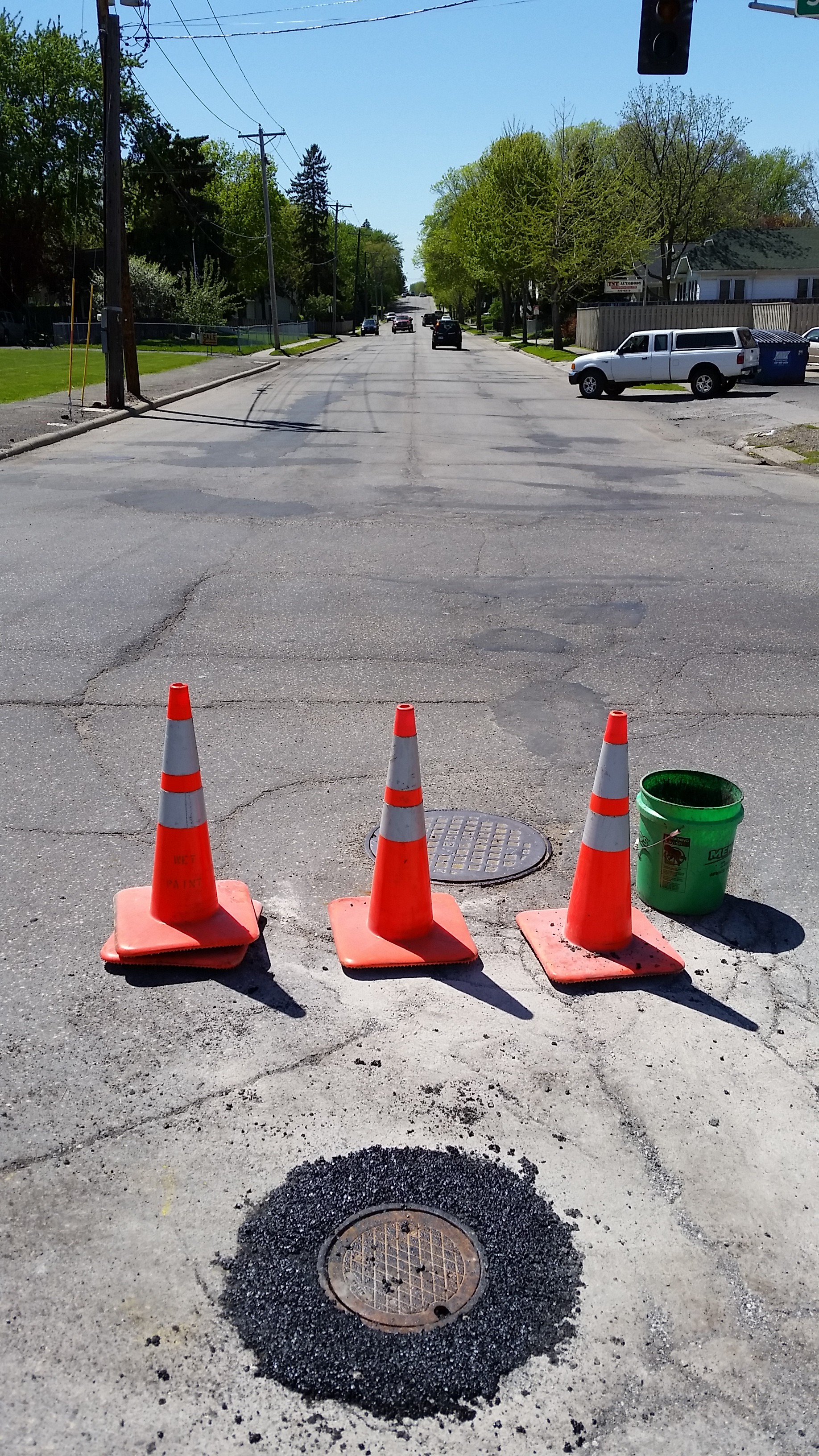
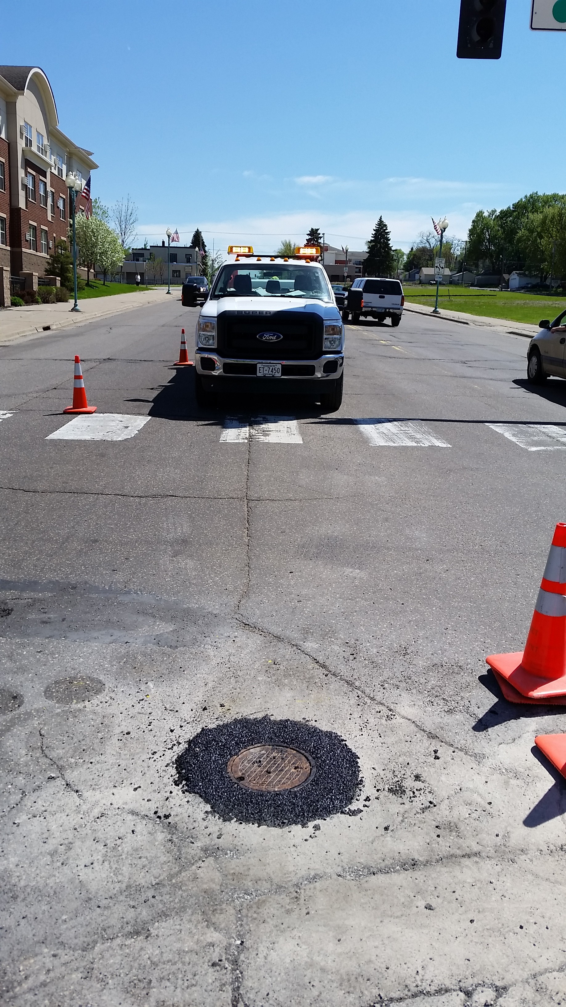
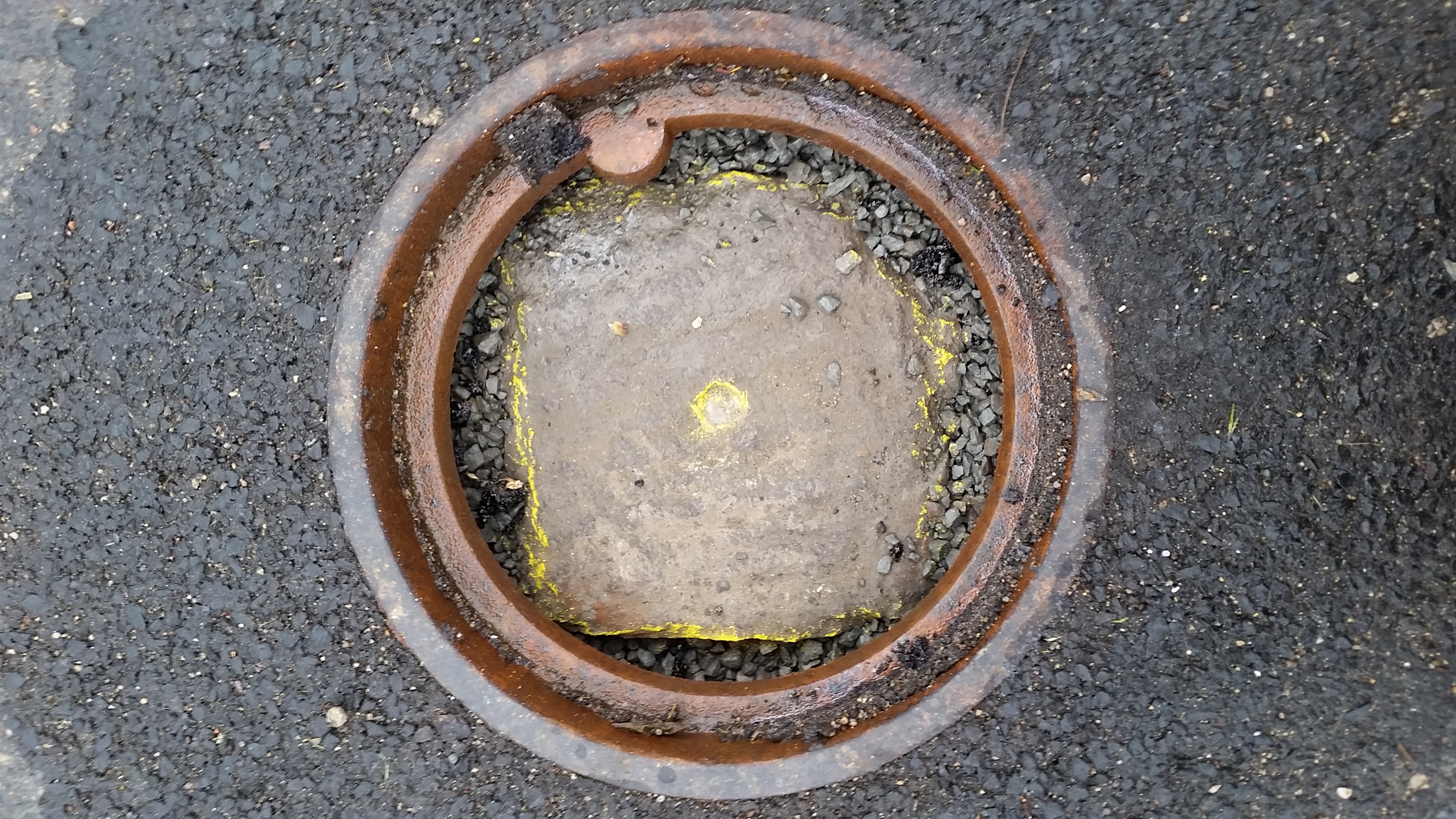
| 5/23/2014 | MnDOT found GM 4 in below street grade. Casting placed over monument. Photos taken and coordinate established using static GPS (1996 adj.). City Elev 222.17 ft. |
| 6/1/1968 | (Unknown date Jun __, 1968 ) Placed ties on monument. See FB 1541B p.15 |
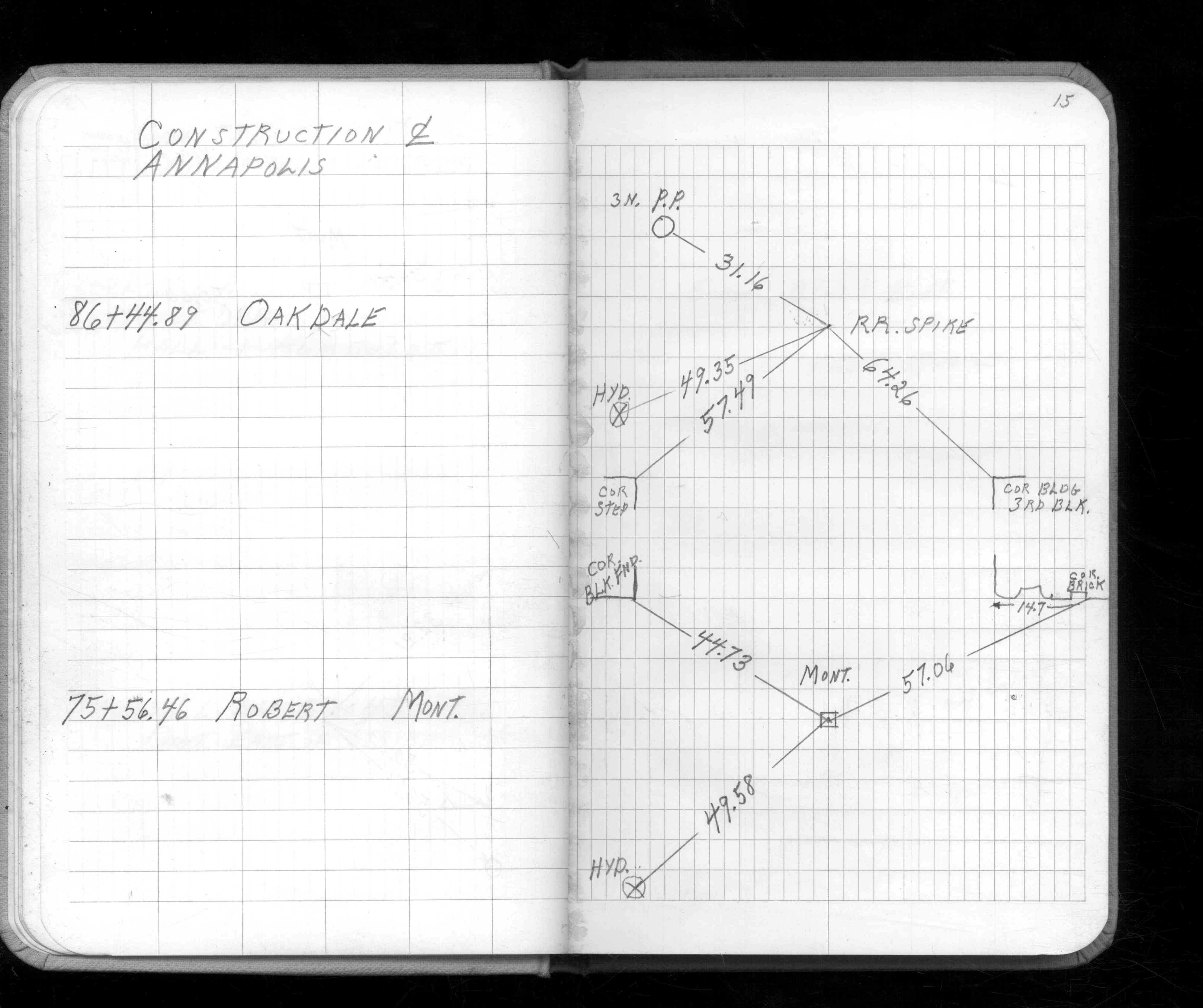
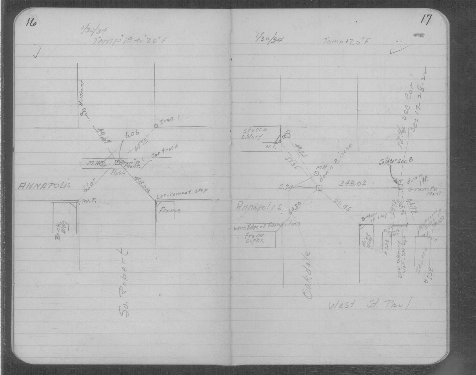
| 1/30/1934 | Placed ties on GM at grade. See MSX 1 p.16-17 |
| 2/1/1889 | (Unknown date Feb __, 1889 ) Monument set by G Saulez |
Above is NOT an all inclusive history of this point. Please review all the links below.
| PLS NOTES | Field | Cross Section | Sewer | J.B. Irvine | Monument | River Survey |
|---|---|---|---|---|---|---|
| FB 1541Bp.15 | MSX 0001 p.016-017 |
| FILE | PHOTO DATE | COMMENTS |
|---|---|---|
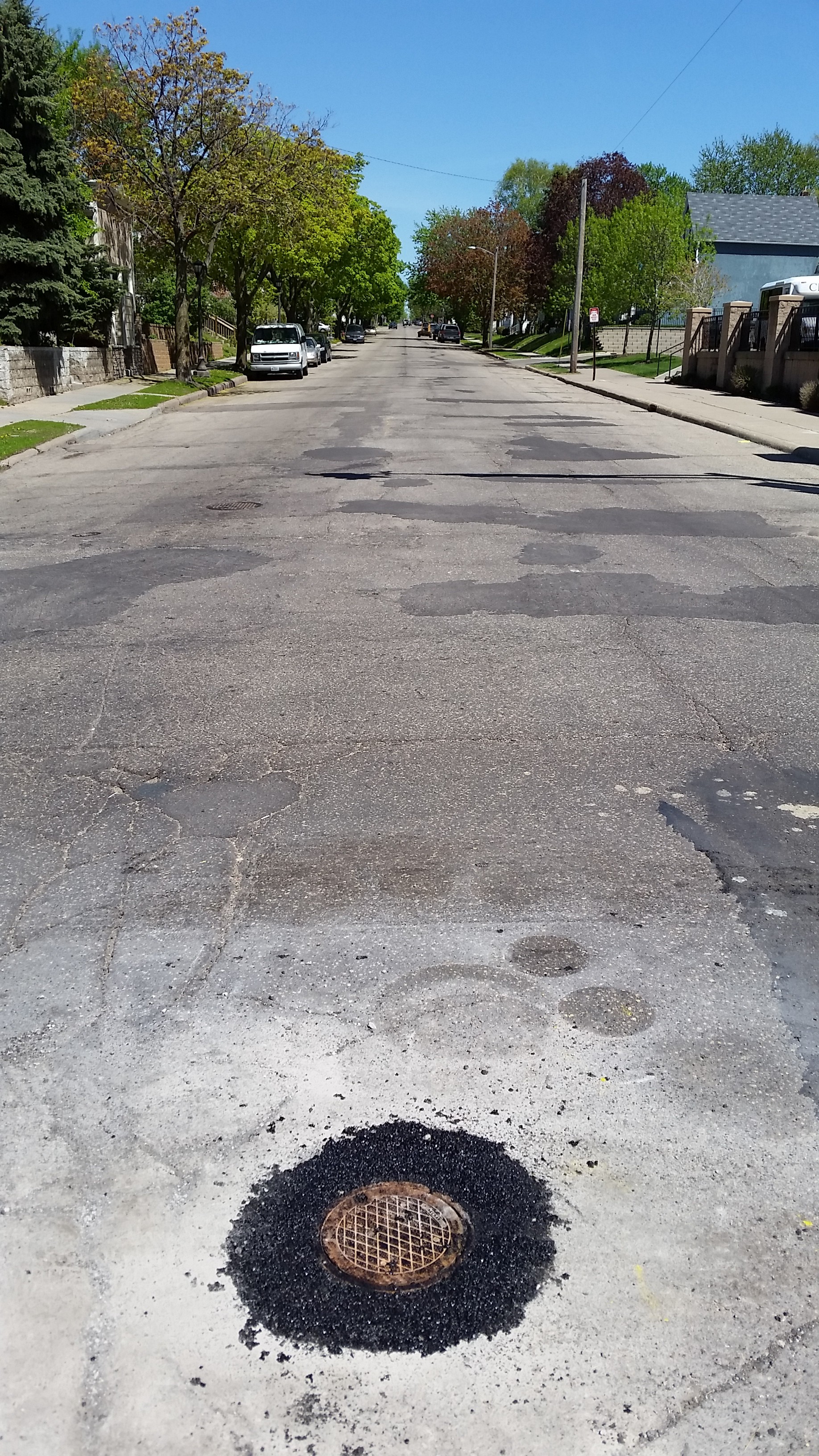
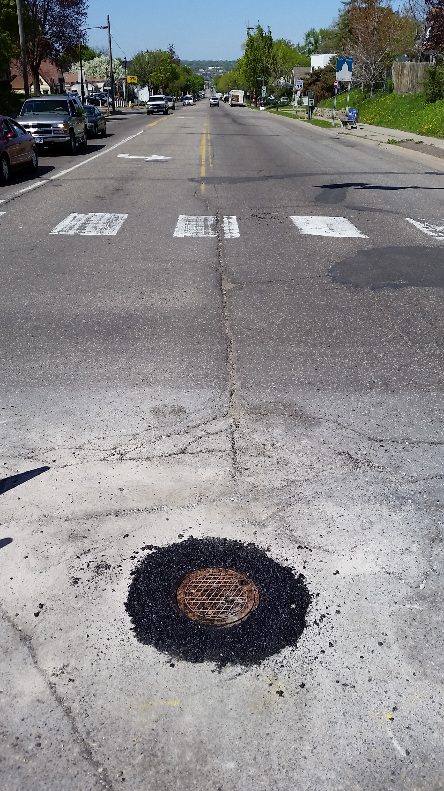
| 5148-1432-5.jpg | May 23, 2014 | Looking west at casting. |
| 5148-1432-4.jpg | May 23, 2014 | Looking south at casting. |
| 5148-1432-3.jpg | May 23, 2014 | Looking east at casting. |
| 5148-1432-2.jpg | May 23, 2014 | Looking north at casting. |
| 5148-1432-1.jpg | May 23, 2014 | Close up of monument in casting. |