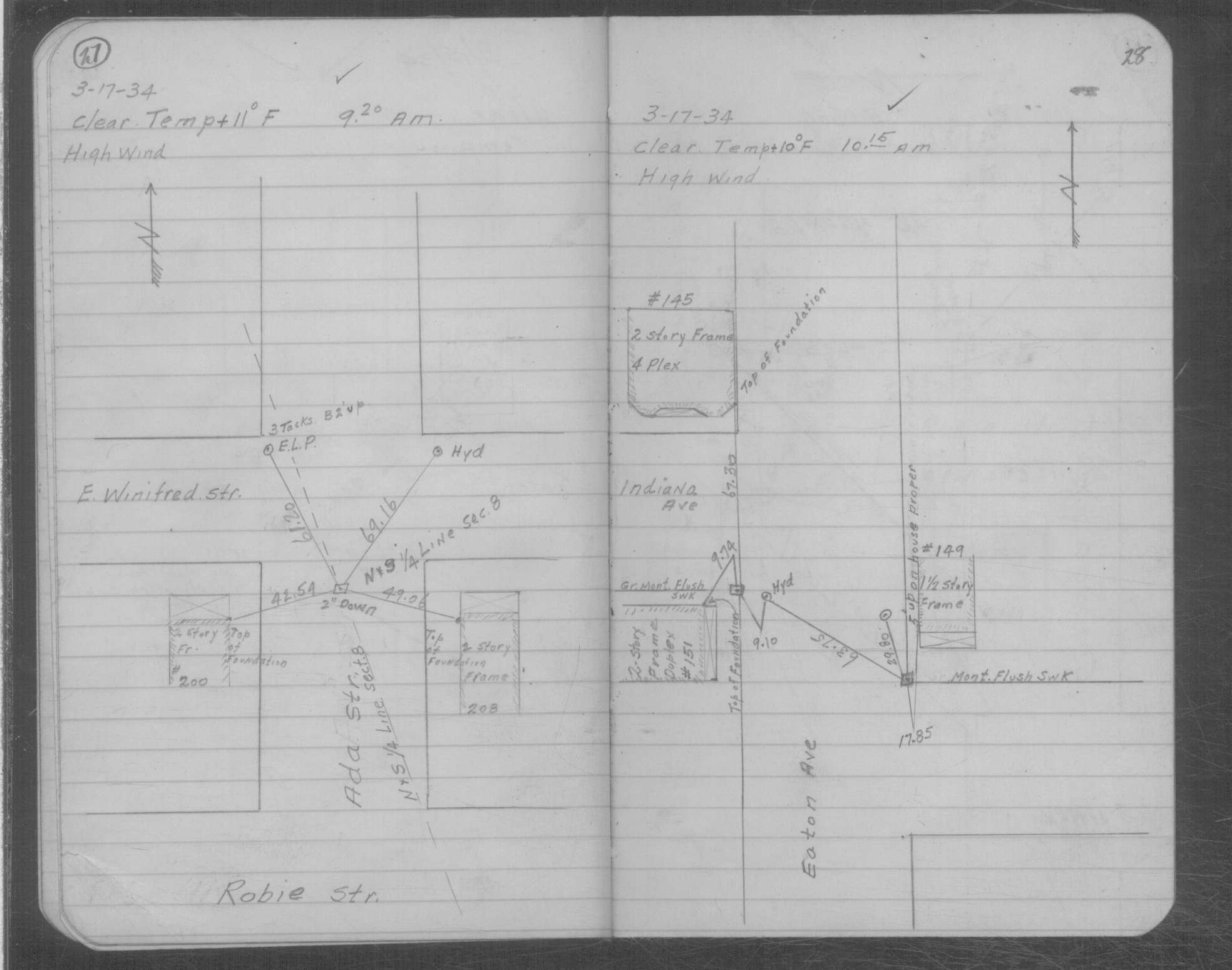
| 3/17/1934 | Placed ties on GM? two inches below surface. See MSX 2 p.27-28 |
| 10/28/1890 | Monument set by J H Armstrong |
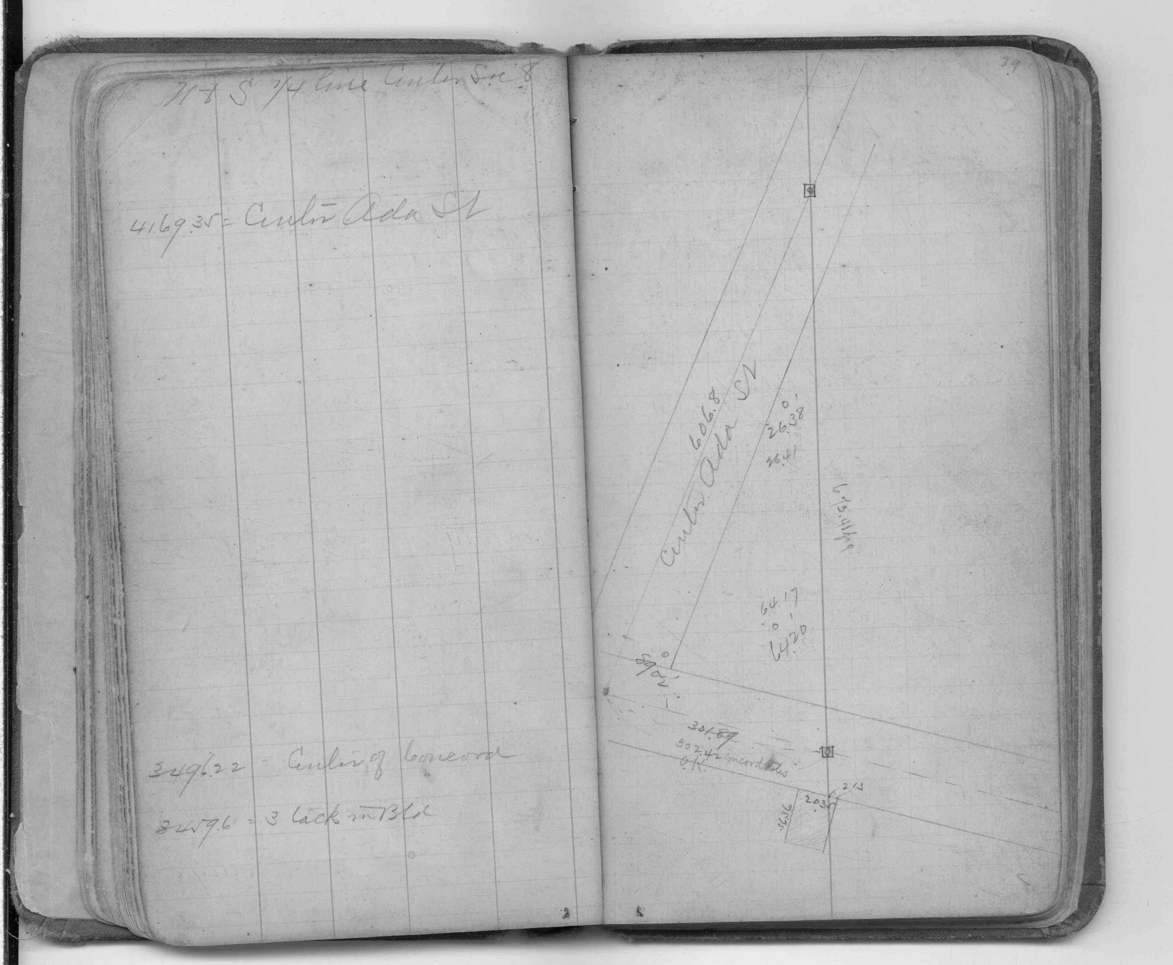
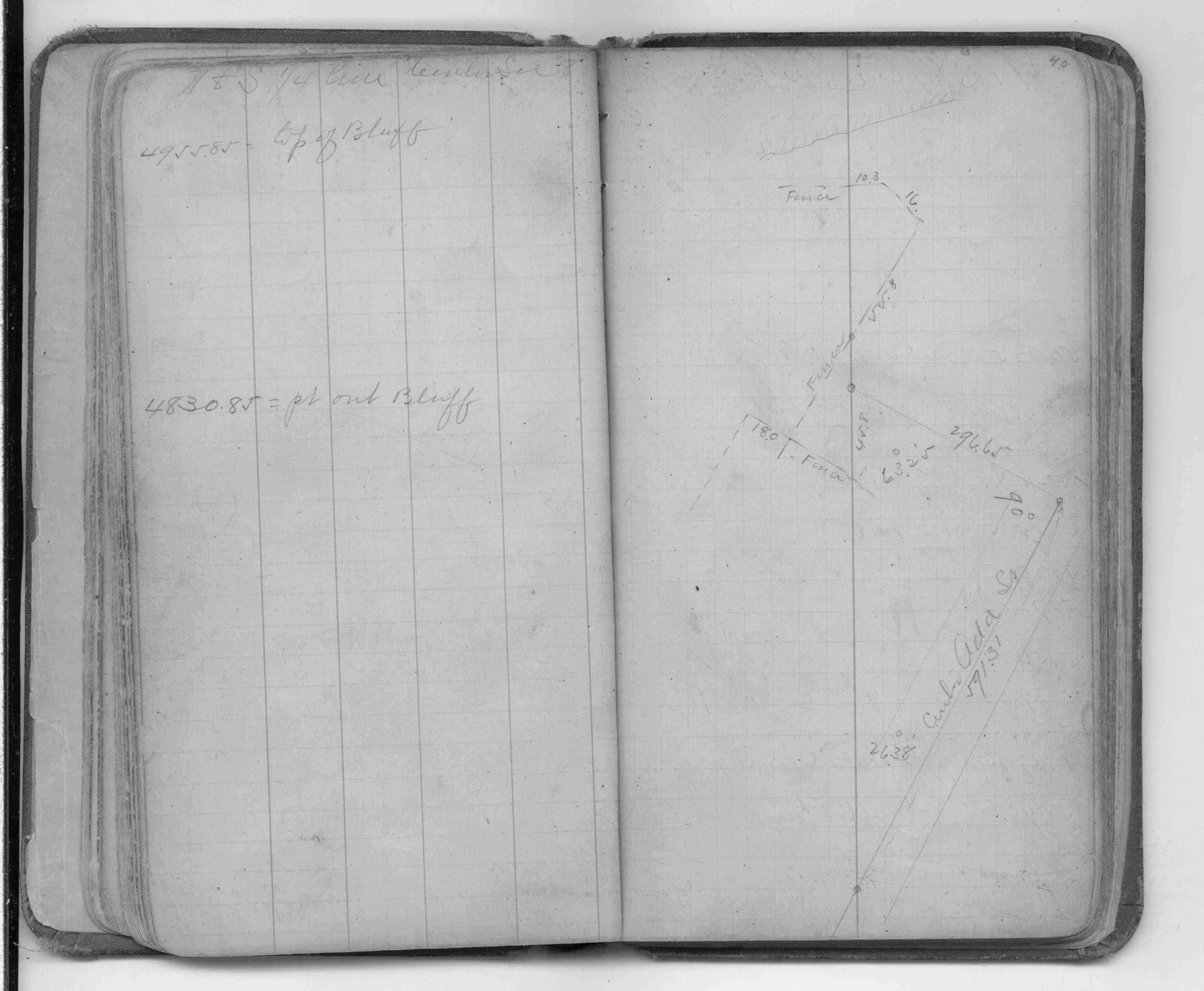
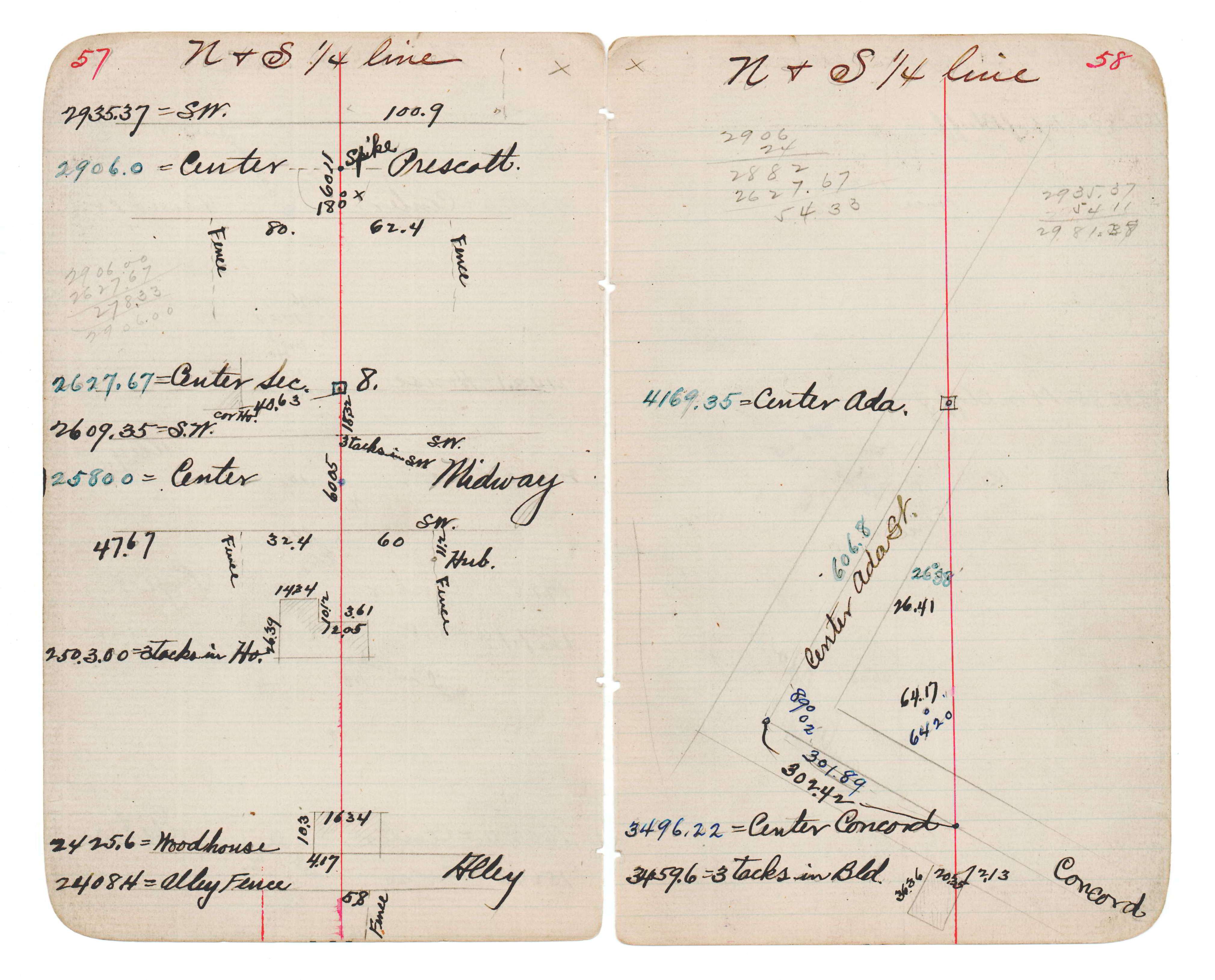
| 1/1/1890 | (Unknown date abt __, 189? ) Monument at sta 41+69.35 on NS 1/4 line Sec 8-28-22. See JBI 18 p.57-58 |
Above is NOT an all inclusive history of this point. Please review all the links below.
| PLS NOTES | Field | Cross Section | Sewer | J.B. Irvine | Monument | River Survey |
|---|---|---|---|---|---|---|
| FB 0321p. 39 ,40 | JBI 18 p.57-58 | MSX 0002 p.027-028 |