| 10/30/1890 | Monument set by J H Armstrong |
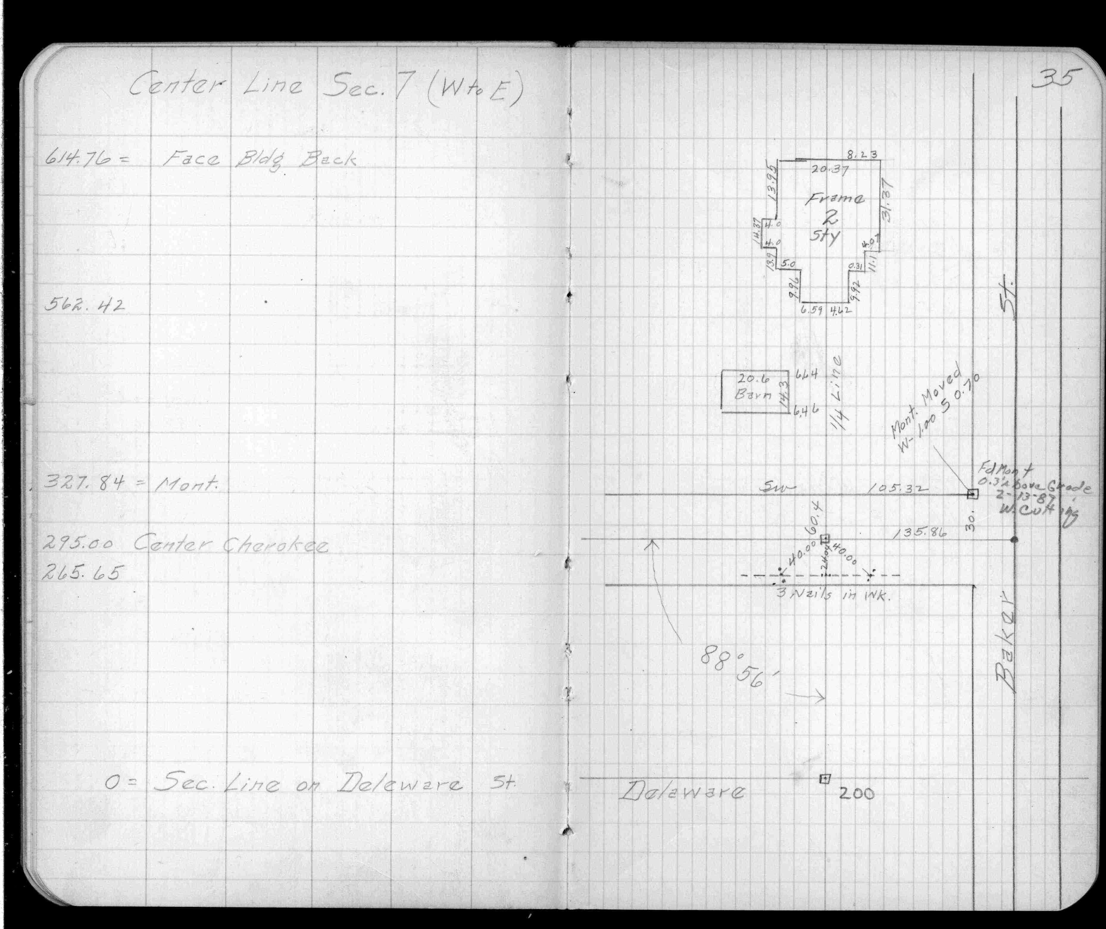
| 5/1/1890 | (Unknown date May __, 1890 ) Placed ties. See FB 320 p.35 |
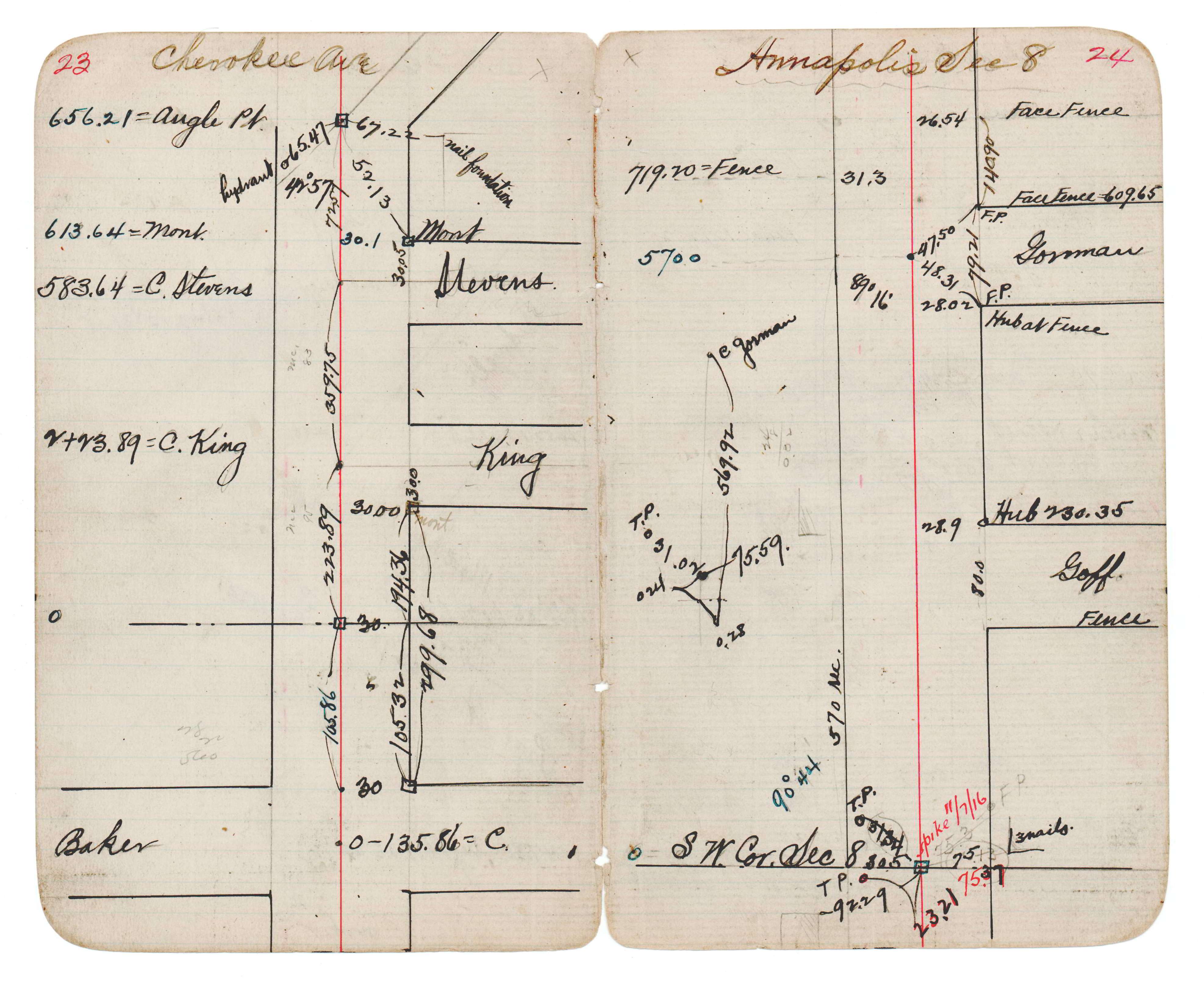
| 1/1/1880 | (Unknown date abt __, 188? ) See JBI 18 p.23-24 |
Above is NOT an all inclusive history of this point. Please review all the links below.
| PLS NOTES | Field | Cross Section | Sewer | J.B. Irvine | Monument | River Survey |
|---|---|---|---|---|---|---|
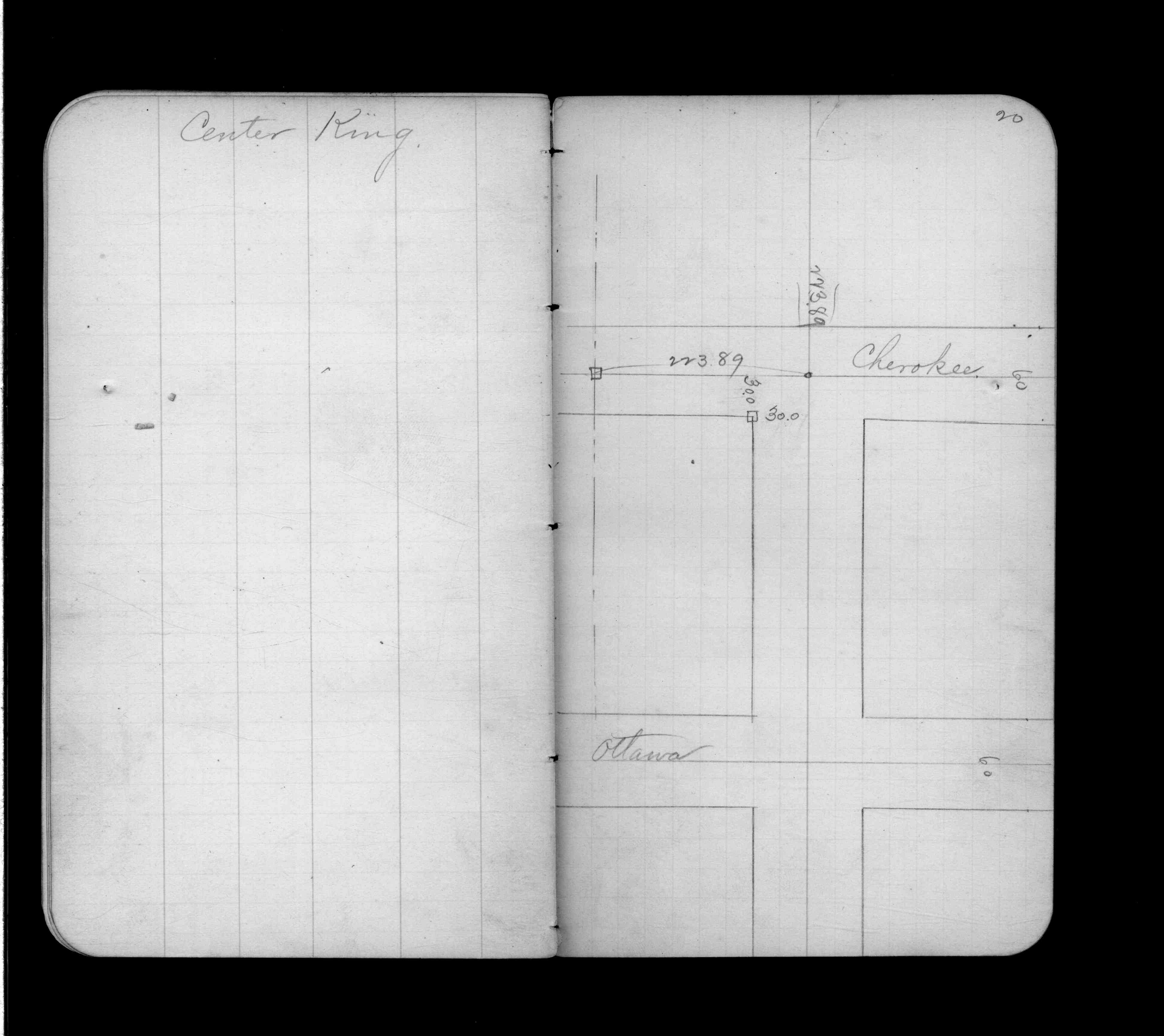
| FB 0320p.35 | JBI 18 p.23-24 | |||||
| FB 0433p.20 |