| 3/15/2010 | Found a GM 0.35 ft below the sidewalk. Photos taken and placed ties. See CofL 5783-2149-A.pdf |
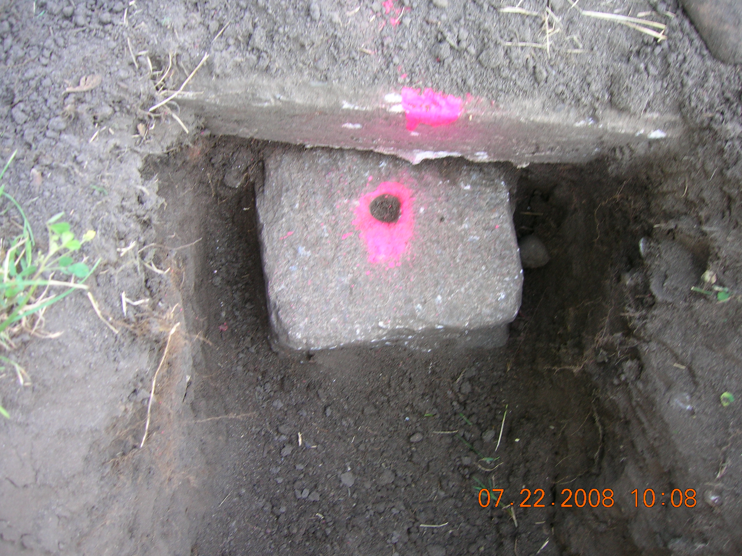
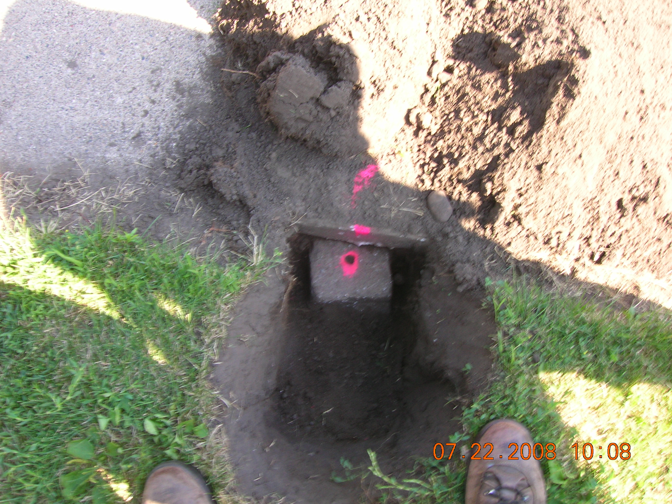
| 7/22/2008 | MnDot survey crew Fd GM under the sidewalk. Photos taken. |
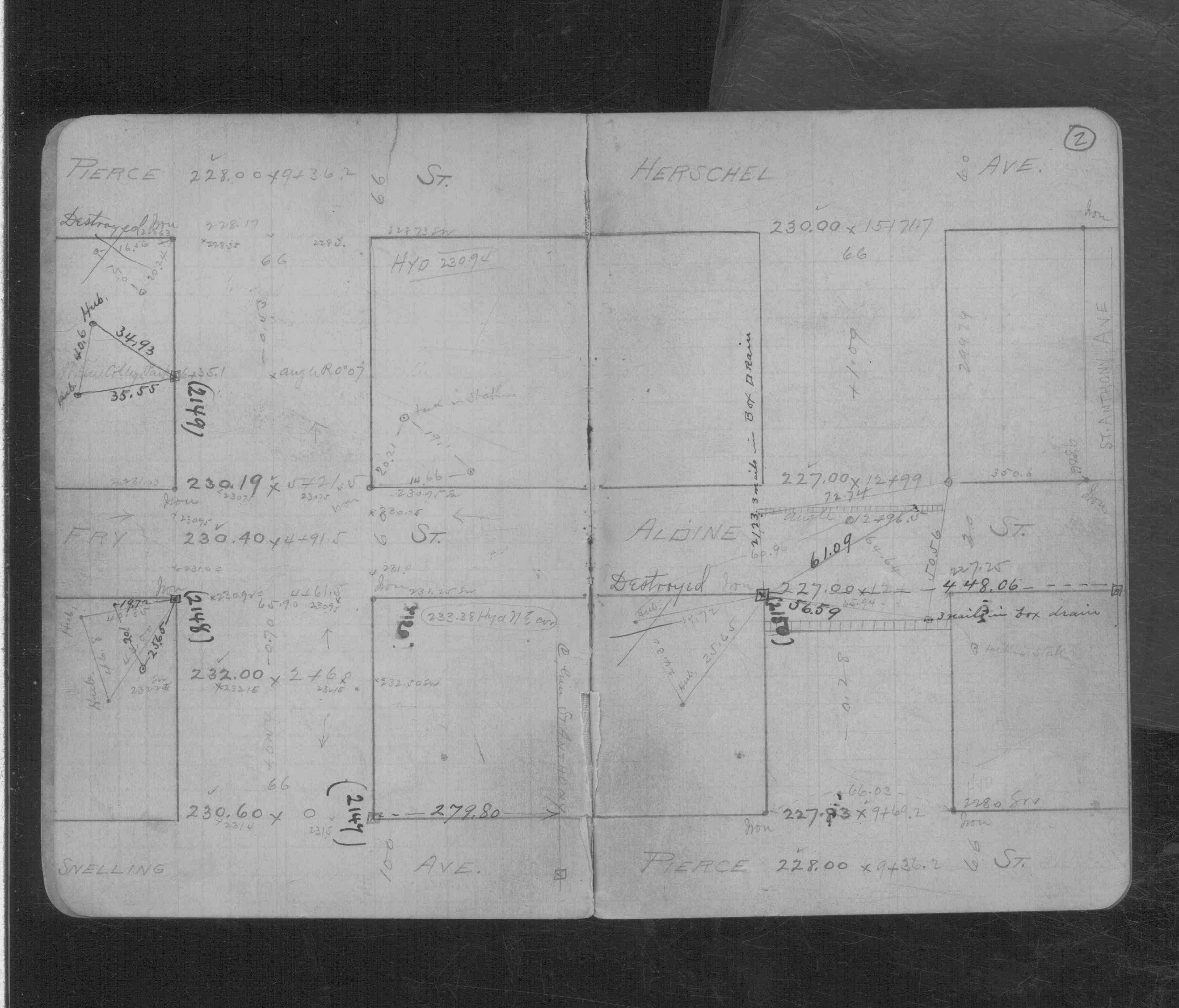
| 2/1/1890 | (Unknown date Feb __, 1890 ) Monument set by Chas A Hunt after grading. See CS 596 p.2 |
Above is NOT an all inclusive history of this point. Please review all the links below.
| PLS NOTES | Field | Cross Section | Sewer | J.B. Irvine | Monument | River Survey |
|---|---|---|---|---|---|---|
| CS 0596p.02 |
| FILE | SURVEYOR | LIC. NO. | DATE SIGNED | DATE TIED |
|---|---|---|---|---|
| 5783-2149-A.pdf | Samuel D. Gibson | 44880 | May 13, 2010 | March 15, 2010 |
| FILE | PHOTO DATE | COMMENTS |
|---|---|---|
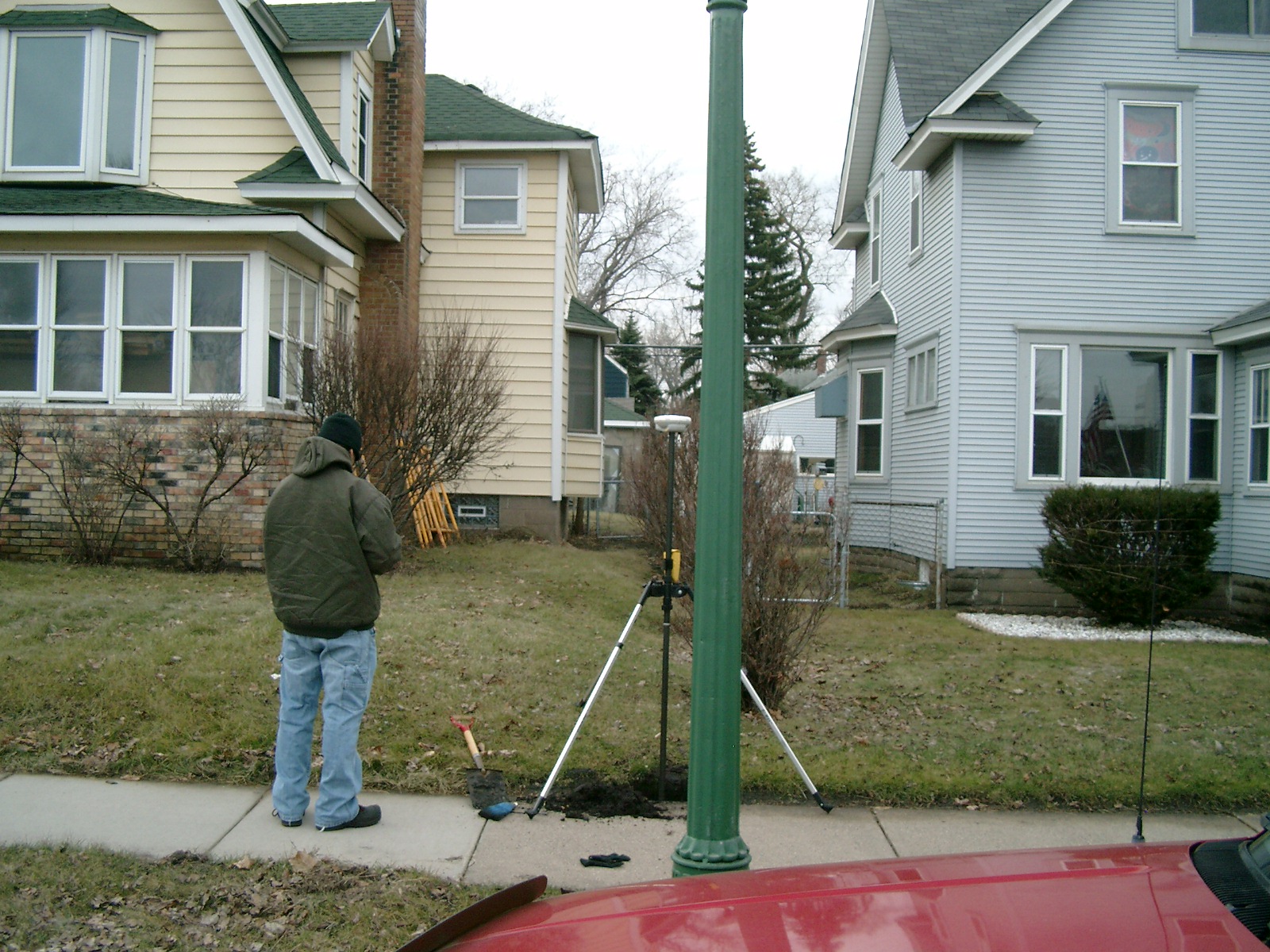
| 5783-2149-6.jpg | March 15, 2010 | Looking West along the South side of Concordia Ave. |
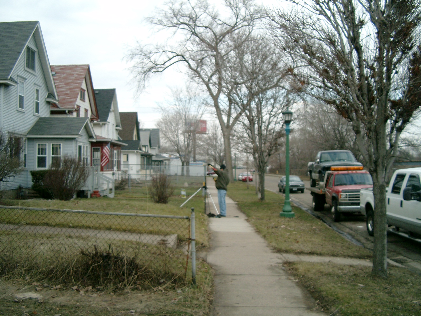
| 5783-2149-5.jpg | March 15, 2010 | Looking South from Concordia Ave. |
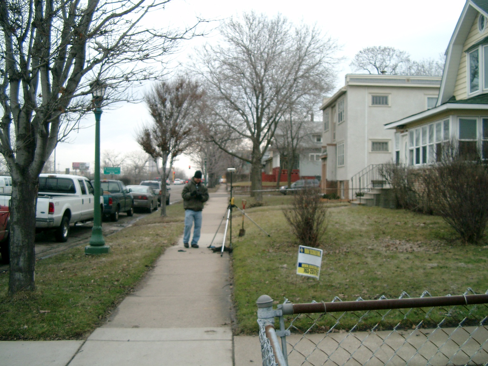
| 5783-2149-4.jpg | March 15, 2010 | Looking East along the South side of Concordia Ave. |
| 5783-2149-3.jpg | March 15, 2010 | Looking North towards Concordia Ave. |
| 5783-2149-2.jpg | July 22, 2008 | Close-up of GM under sidewalk. |
| 5783-2149-1.jpg | July 22, 2008 | GM under sidewalk. |