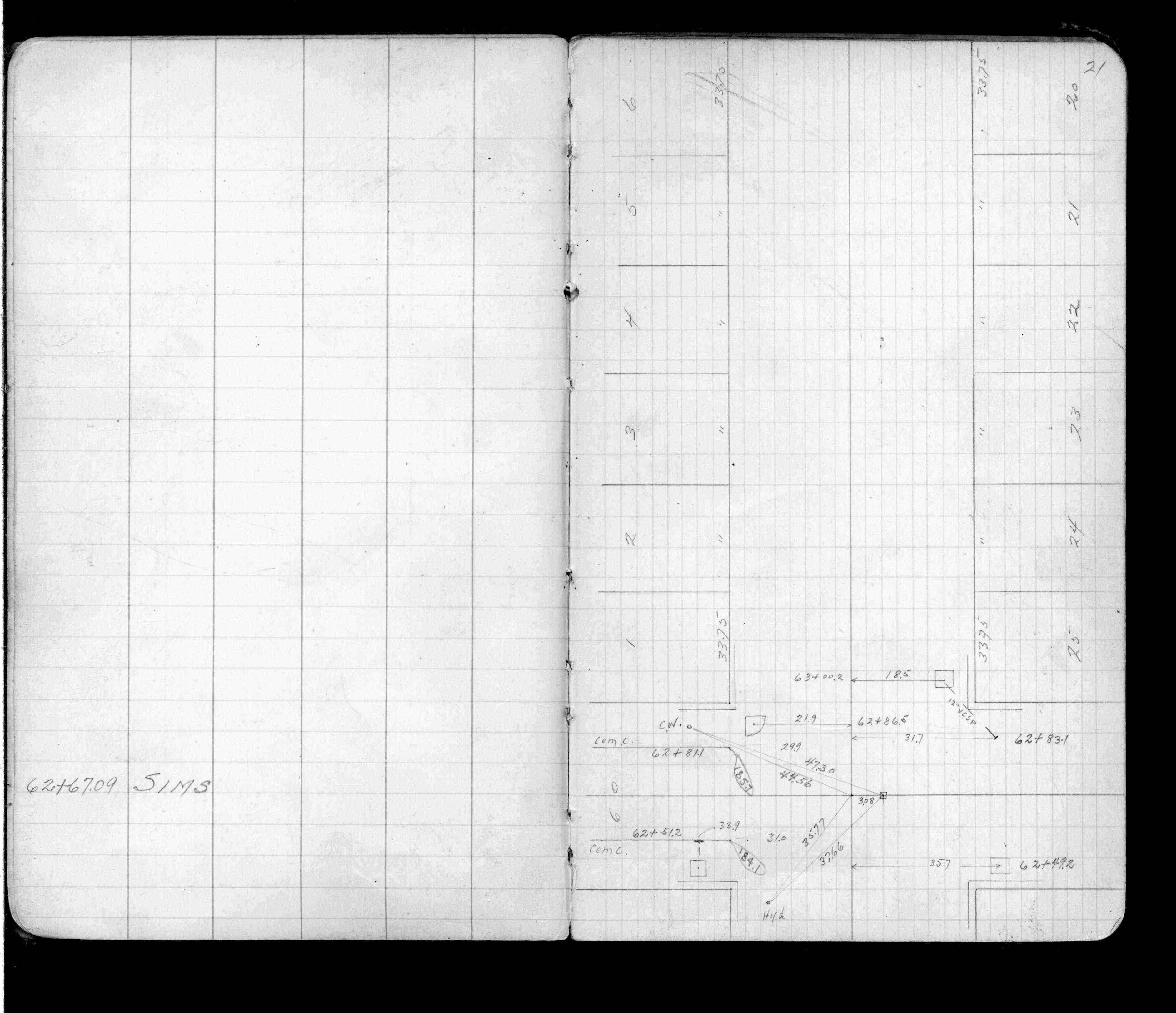
| 2/1/1923 | (Unknown date Feb __, 1923 ) Placed ties. See FB 1055 p.21 |
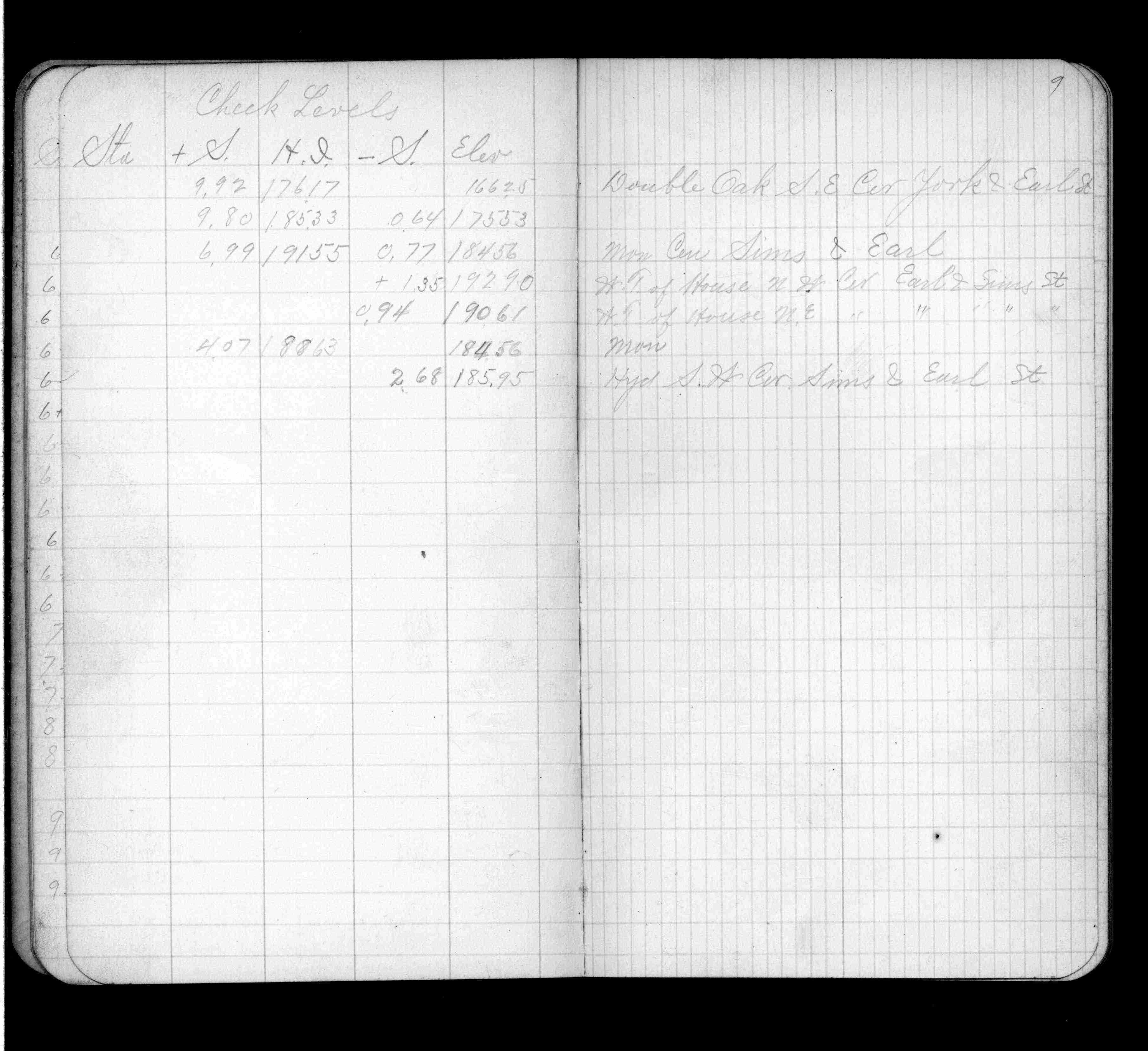
| 1/1/1900 | Elev 184.56 ft. See FB 670 p.9 |
| 12/27/1892 | Monument set by J B Irvine |
Above is NOT an all inclusive history of this point. Please review all the links below.
| PLS NOTES | Field | Cross Section | Sewer | J.B. Irvine | Monument | River Survey |
|---|---|---|---|---|---|---|
| FB 0670p.09 | ||||||
| FB 1055p.21 |