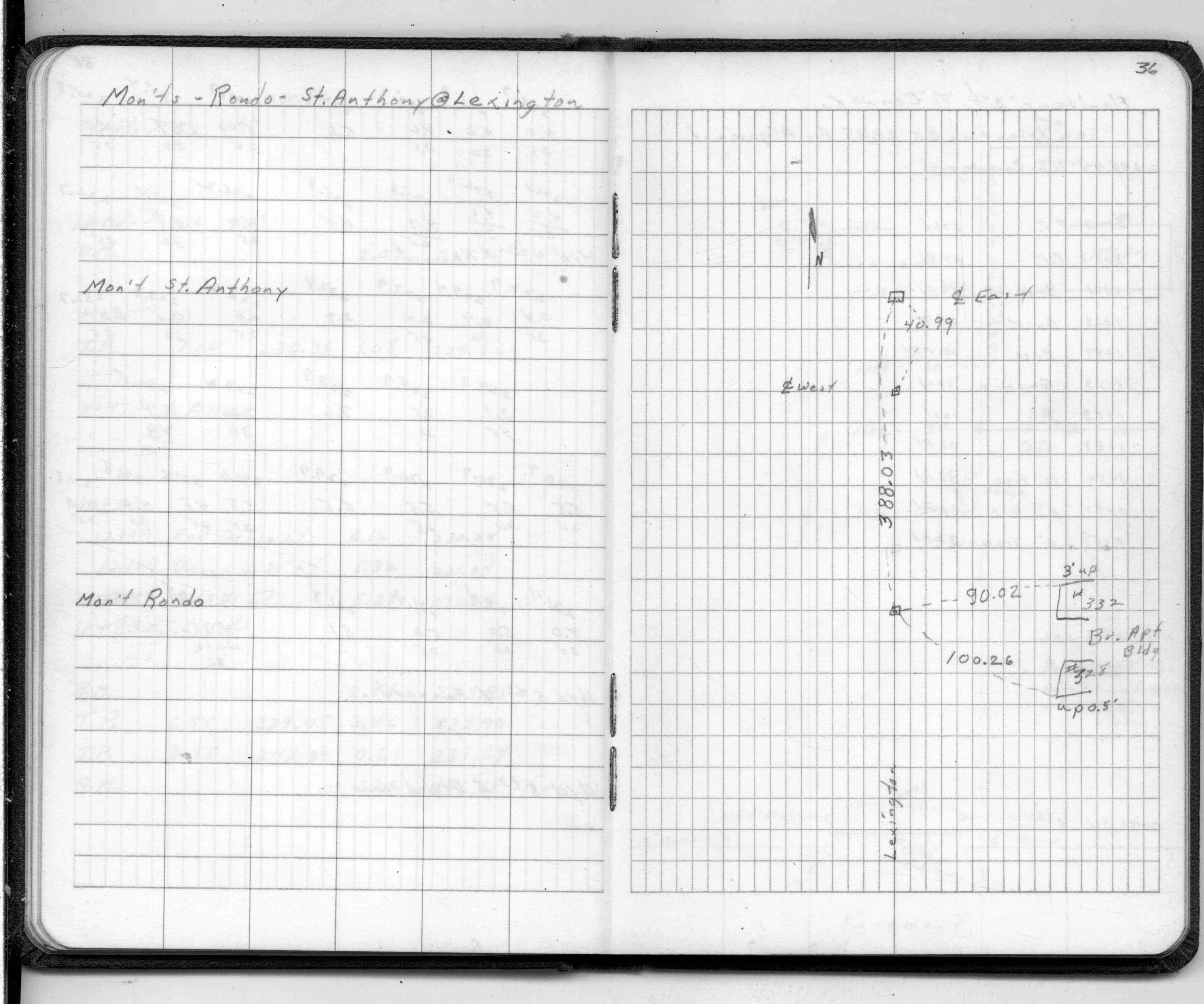
| 7/1/1960 | (Unknown date Jul __, 1960 ) Placed ties. See FB 1516 p.36 |
| 1/1/1800 | (Unknown date ___ __, 18?? ) Elev 212.410 ft on GM. See Old Benches Book, Entry 1982 |
Above is NOT an all inclusive history of this point. Please review all the links below.
| PLS NOTES | Field | Cross Section | Sewer | J.B. Irvine | Monument | River Survey |
|---|---|---|---|---|---|---|
| FB 1516p.36 |