| NAD83 COORDINATES (1986 adj.): |
|---|
| X= 559948.9 Y= 155465.8 Z= 929.098 4/23/2012 TOPO |
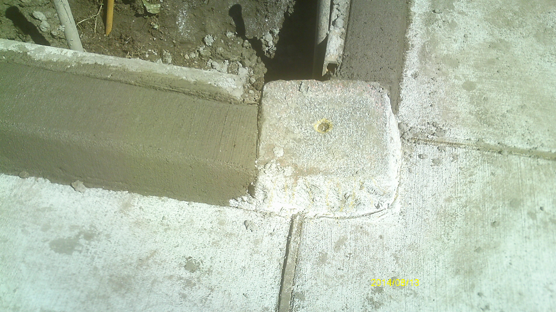
| 8/13/2014 | GM incorporated into sidewalk curb during sidewalk reconstruction project. Photos taken and ties placed. |
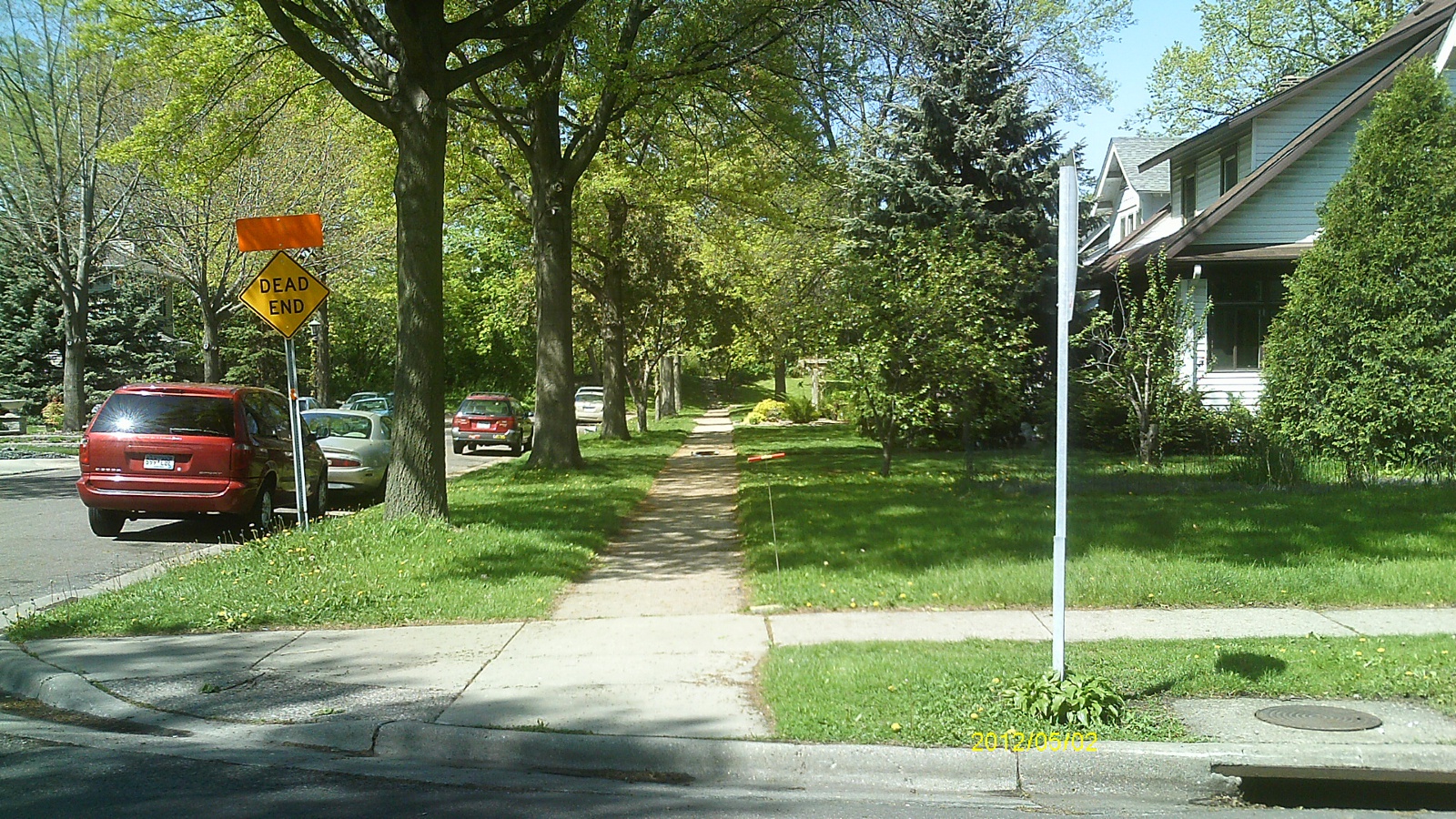
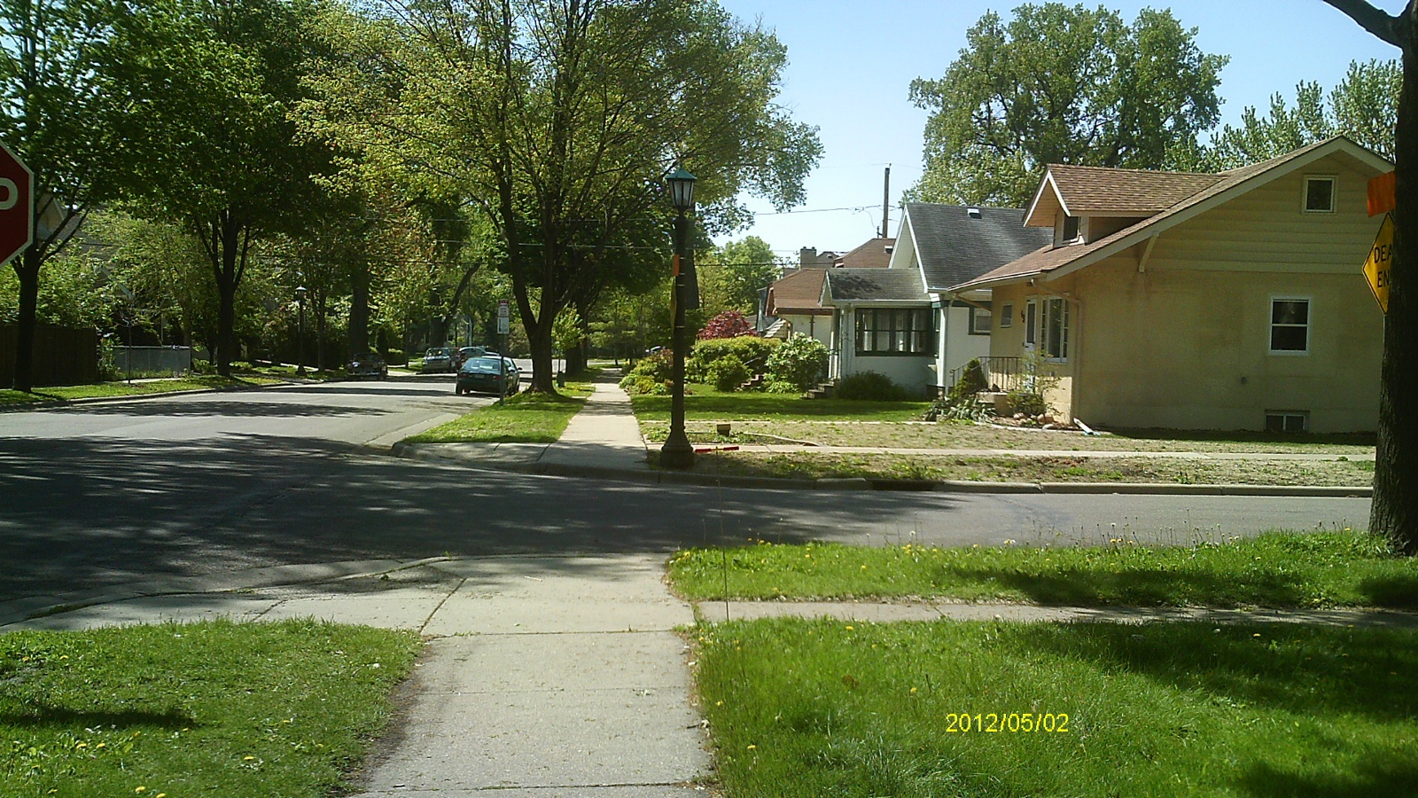
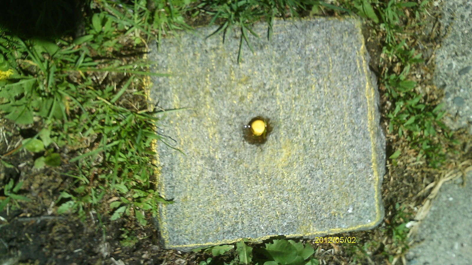
| 5/2/2012 | Found GM 0.1 ft above sidewalk grade. Photos taken. |
| 4/23/2012 | GM found during topographic survey for Griggs St Bikeway project. Elev 235.00 ft. |
| 2/1/1903 | (Unknown date Feb __, 1903 ) Monument set by C F Scheunemann. See X Sec Book #1175 |
Above is NOT an all inclusive history of this point. Please review all the links below.
| PLS NOTES | Field | Cross Section | Sewer | J.B. Irvine | Monument | River Survey |
|---|---|---|---|---|---|---|
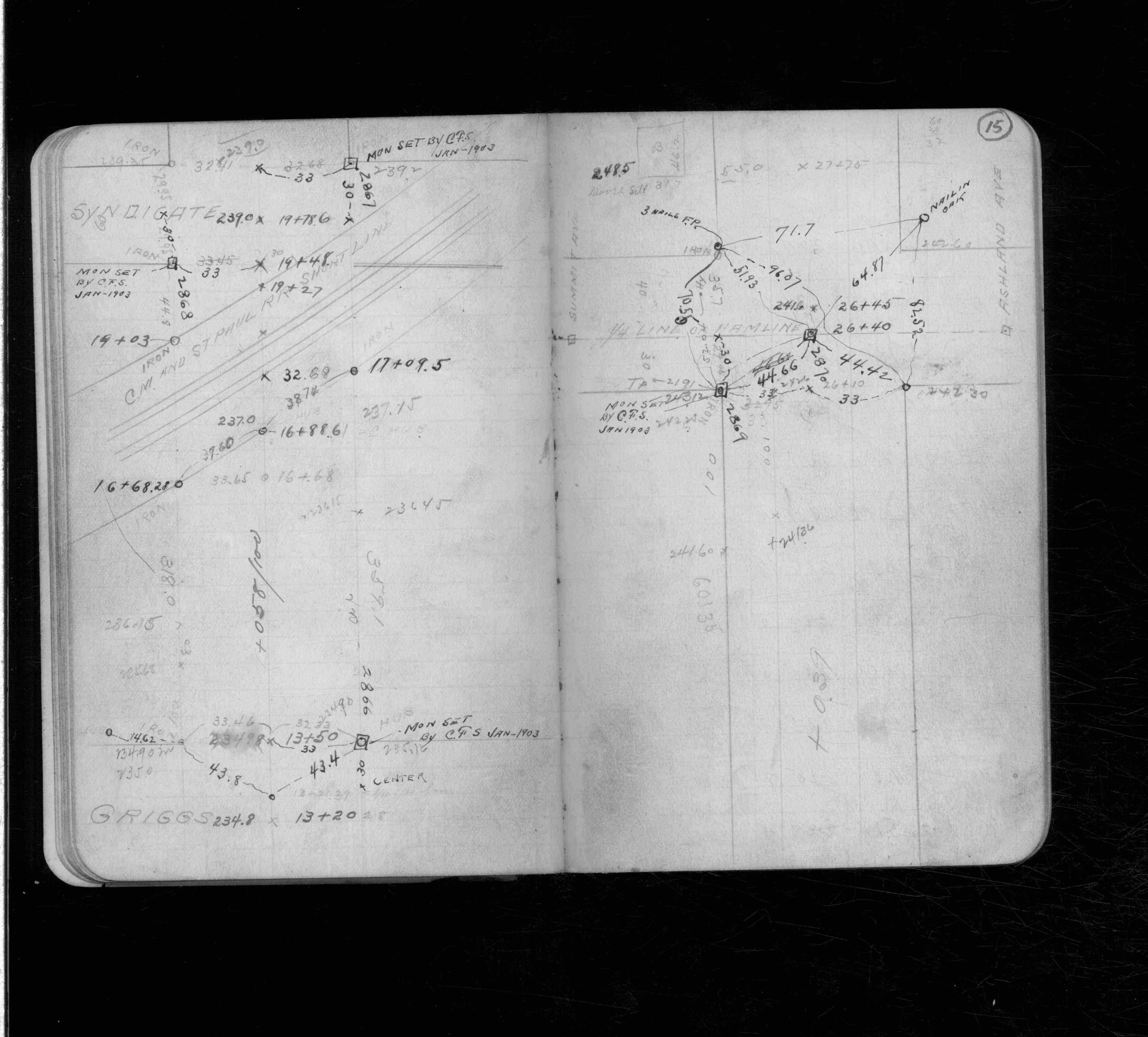
| CS 1175p.15 |
| FILE | SURVEYOR | LIC. NO. | DATE SIGNED | DATE TIED |
|---|---|---|---|---|
| 6344-2866-A.pdf | Samuel Gibson | 44880 | May 21, 2015 | August 13, 2014 |
| FILE | PHOTO DATE | COMMENTS |
|---|---|---|
| 6344-2866-6.jpg | August 13, 2014 | Close up of monument. |
| 6343-2865-9.jpg | August 13, 2014 | Looking east along Portland Ave. |
| 6343-2865-8.jpg | August 13, 2014 | Looking north along Griggs St. |
| 6343-2865-7.jpg | August 13, 2014 | Close up of monument location. |
| 6343-2865-11.jpg | August 13, 2014 | Looking west along Portland Ave. |
| 6343-2865-10.jpg | August 13, 2014 | Looking south along Griggs St. |
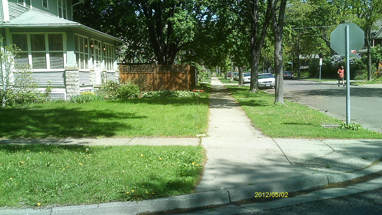
| 6344-2866-5.jpg | May 2, 2012 | Looking west along Portland Ave. |
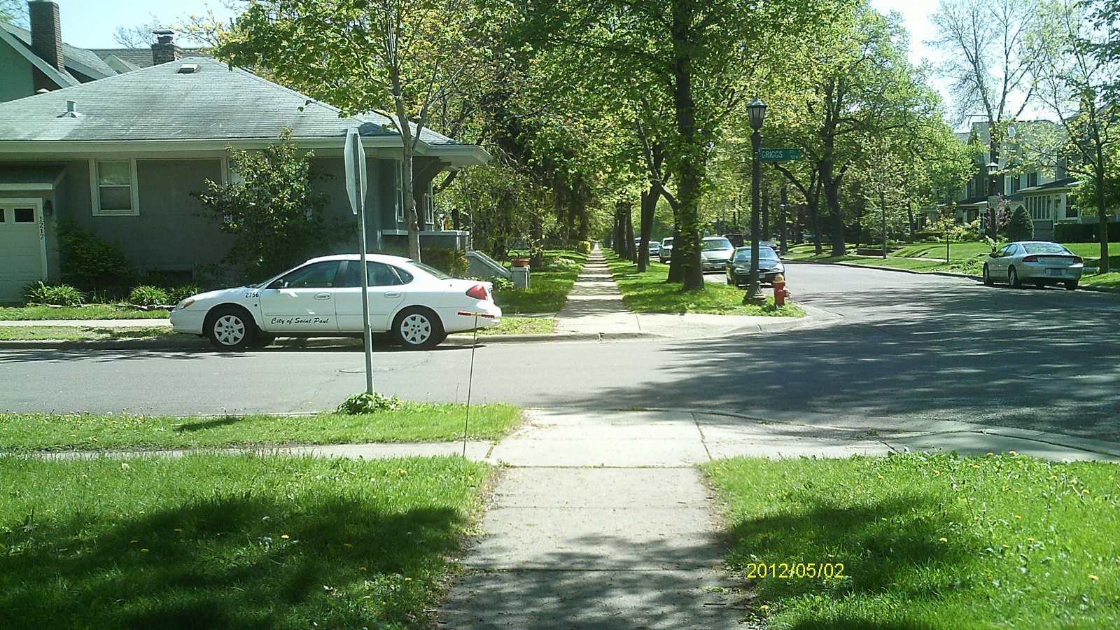
| 6344-2866-4.jpg | May 2, 2012 | Looking south along Griggs St. |
| 6344-2866-3.jpg | May 2, 2012 | Looking east along Portland Ave. |
| 6344-2866-2.jpg | May 2, 2012 | Looking north along Griggs St. |
| 6344-2866-1.jpg | May 2, 2012 | Close up of monument. |