|
FILE
|
PHOTO DATE
|
COMMENTS
|
|
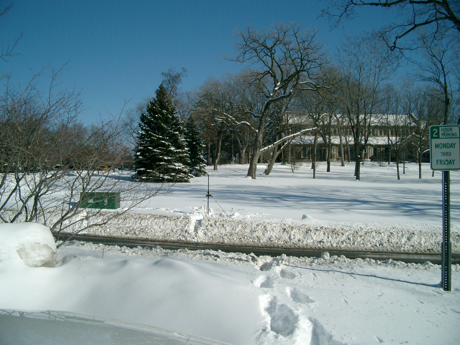
6362-2887-9.jpg
|
February 10, 2010
|
Looking North from the East side of Mississippi River Blvd.
|
|
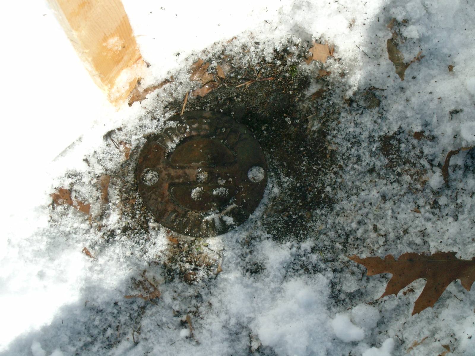
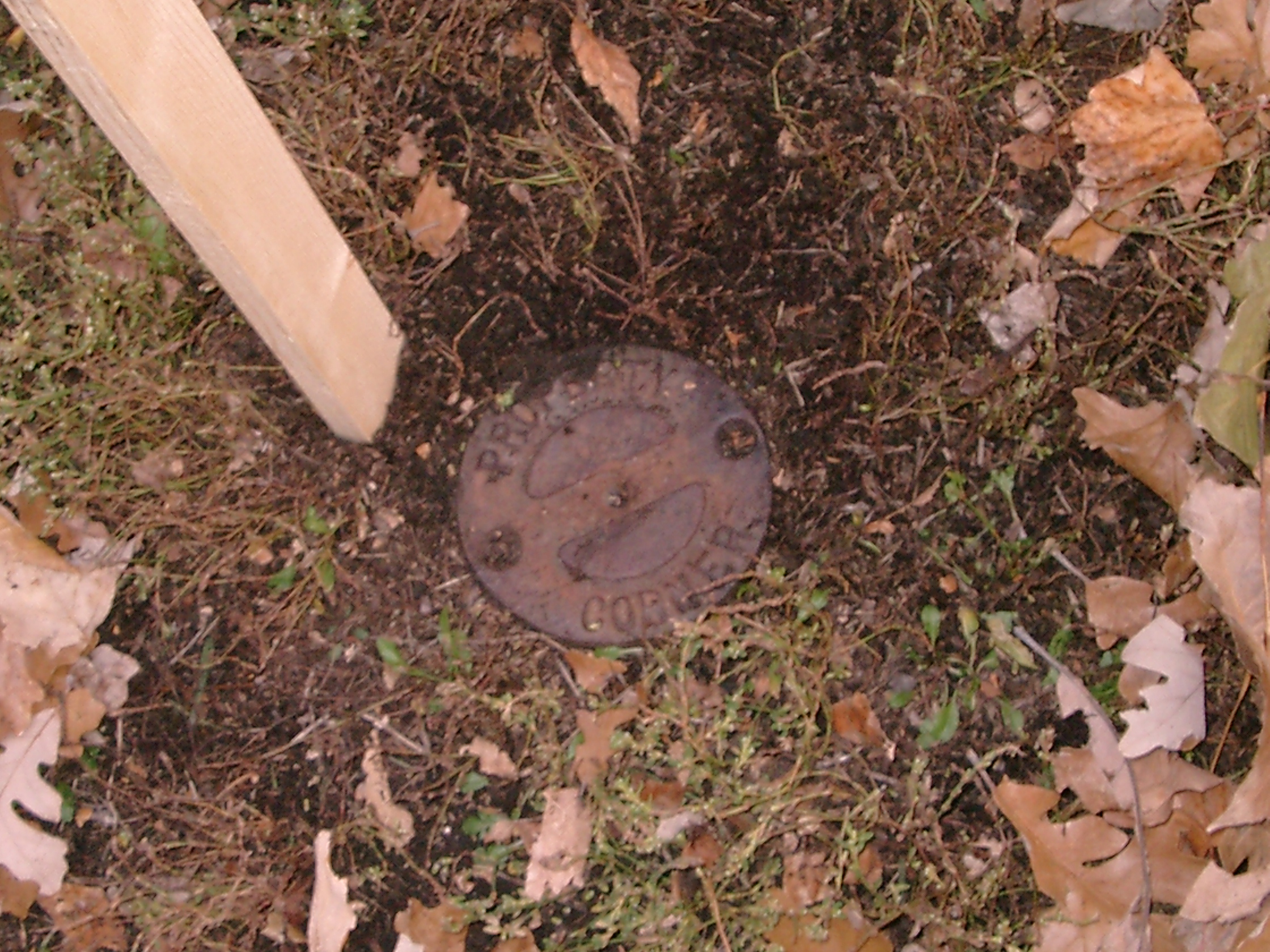
6362-2887-8.jpg
|
February 10, 2010
|
Close-up of the CIM
|
|
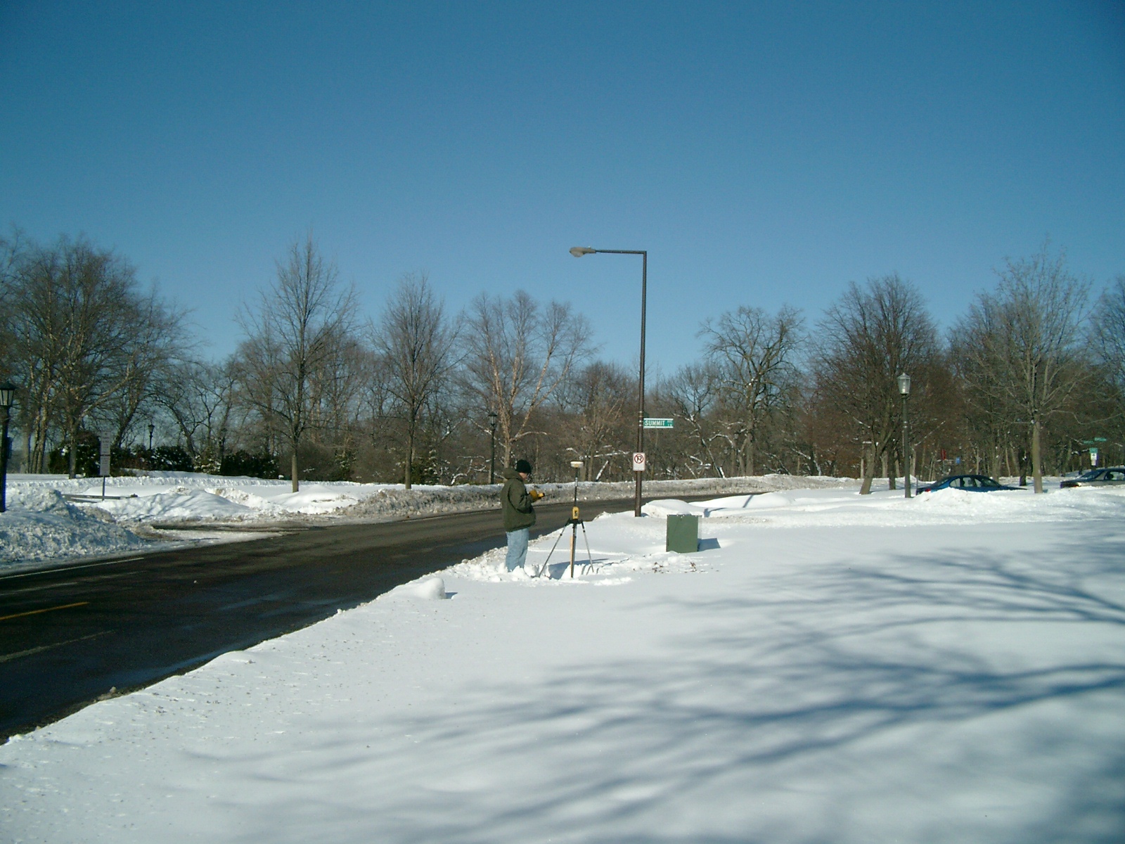
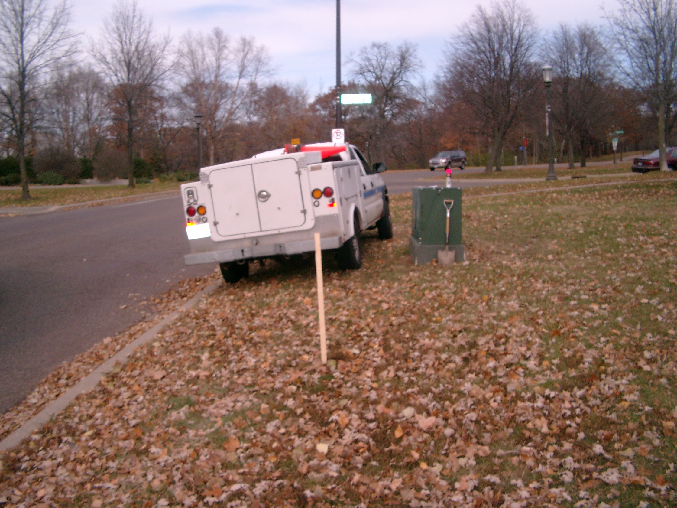
6362-2887-12.jpg
|
February 10, 2010
|
Looking West towards Mississippi River Blvd.
|
|
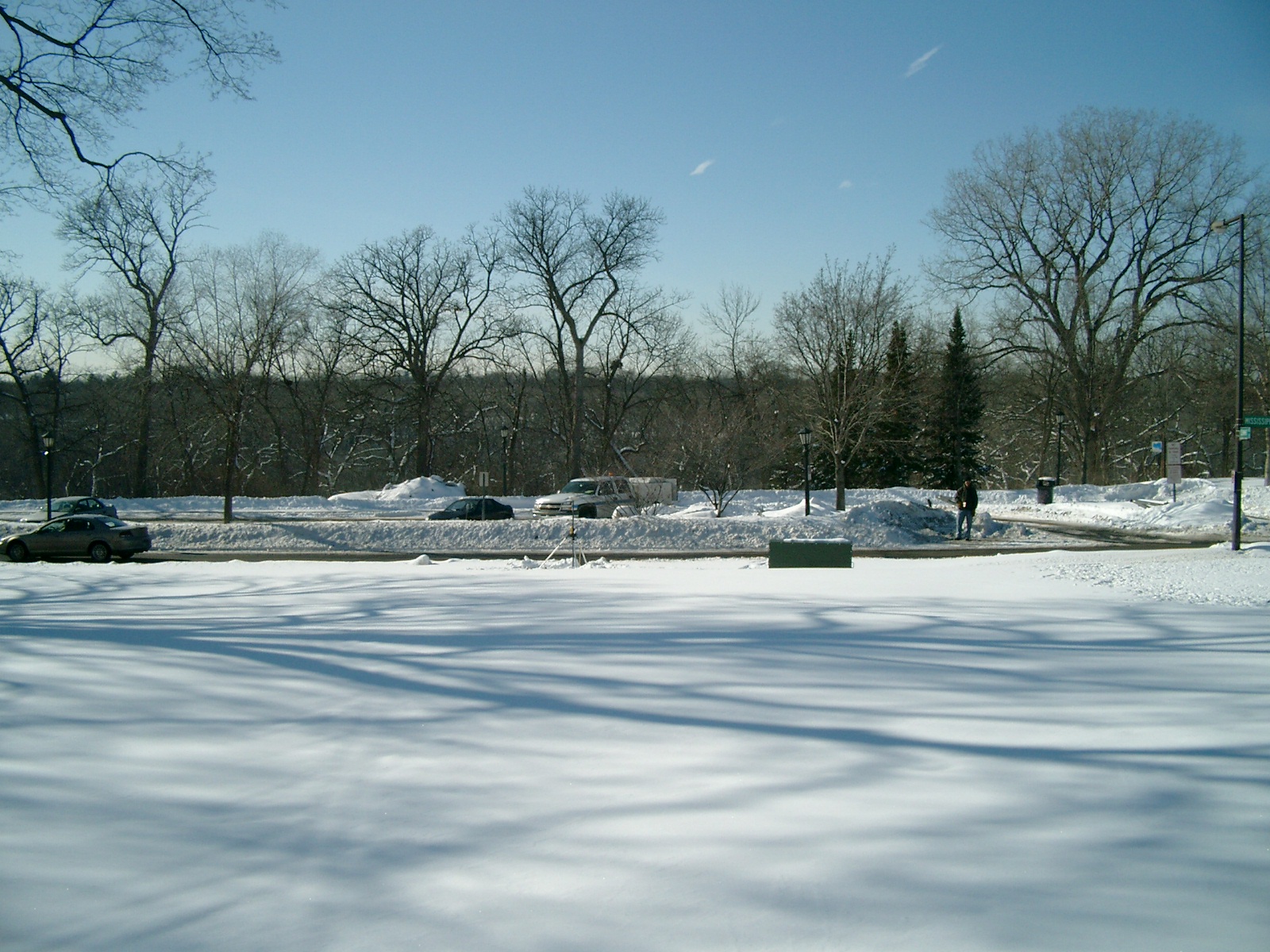
6362-2887-11.jpg
|
February 10, 2010
|
Looking South from Mississippi River Blvd.
|
|
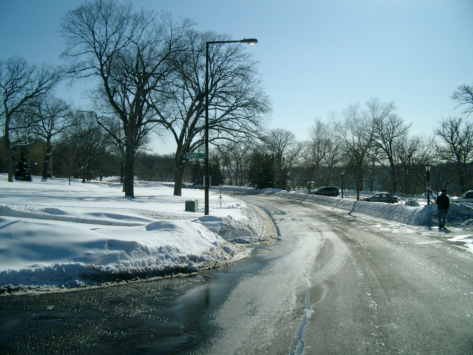
6362-2887-10.jpg
|
February 10, 2010
|
Looking East towards Mississippi River Blvd.
|
|
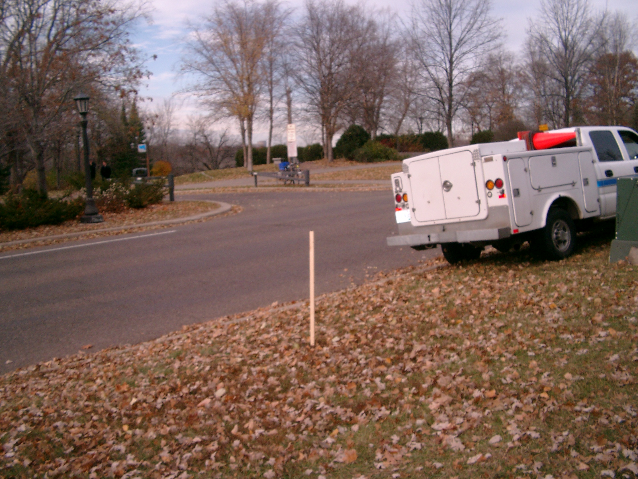
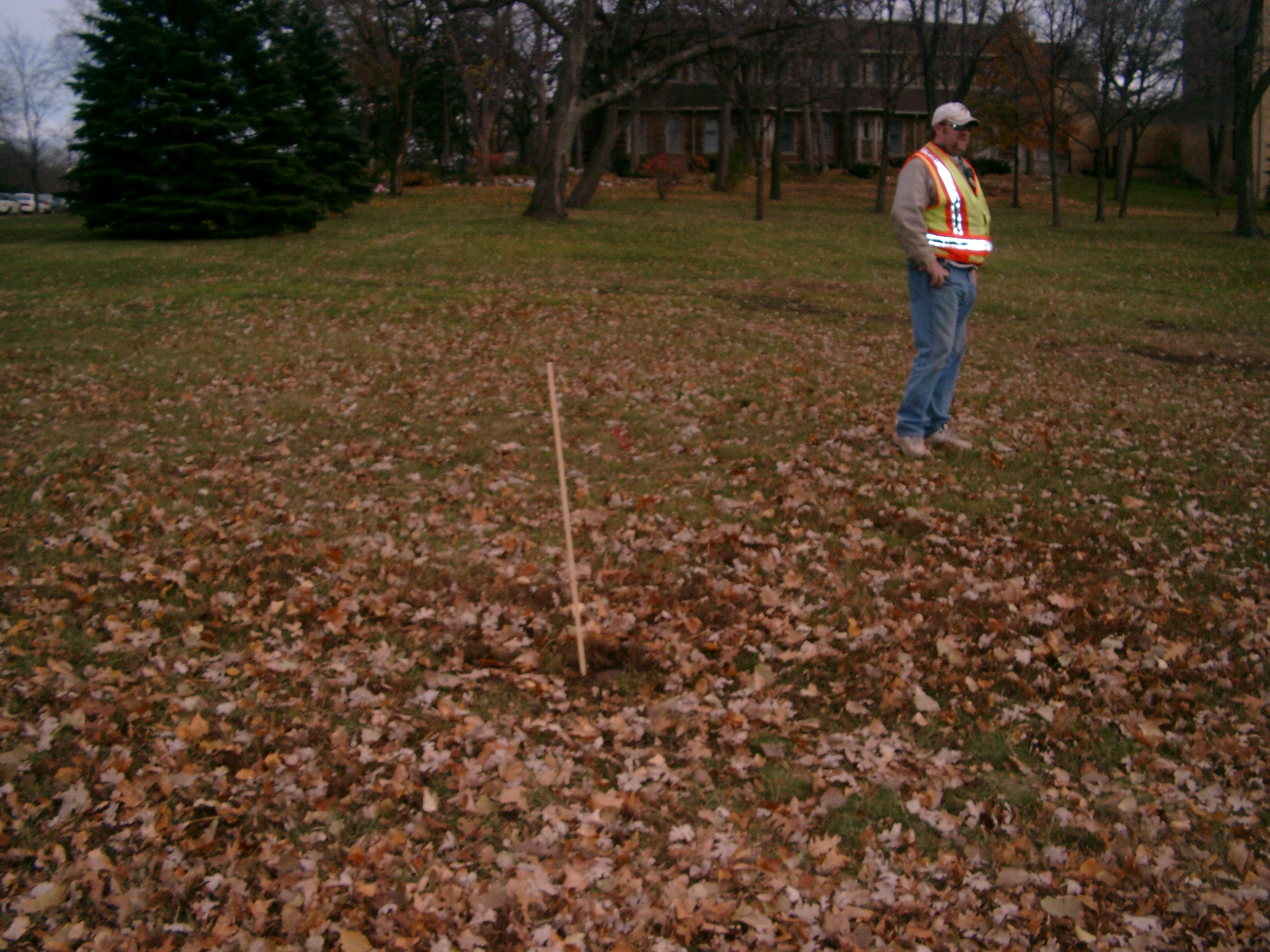
6362-2887-7.jpg
|
November 3, 2009
|
Looking Northwest towards Mississippi River Blvd.
|
|
6362-2887-6.jpg
|
November 3, 2009
|
Looking West towards Mississippi River Blvd.
|
|
6362-2887-5.jpg
|
November 3, 2009
|
Looking Southwest towards Mississippi River Blvd.
|
|
6362-2887-4.jpg
|
November 3, 2009
|
Looking South from the East side of Mississippi River Blvd.
|
|
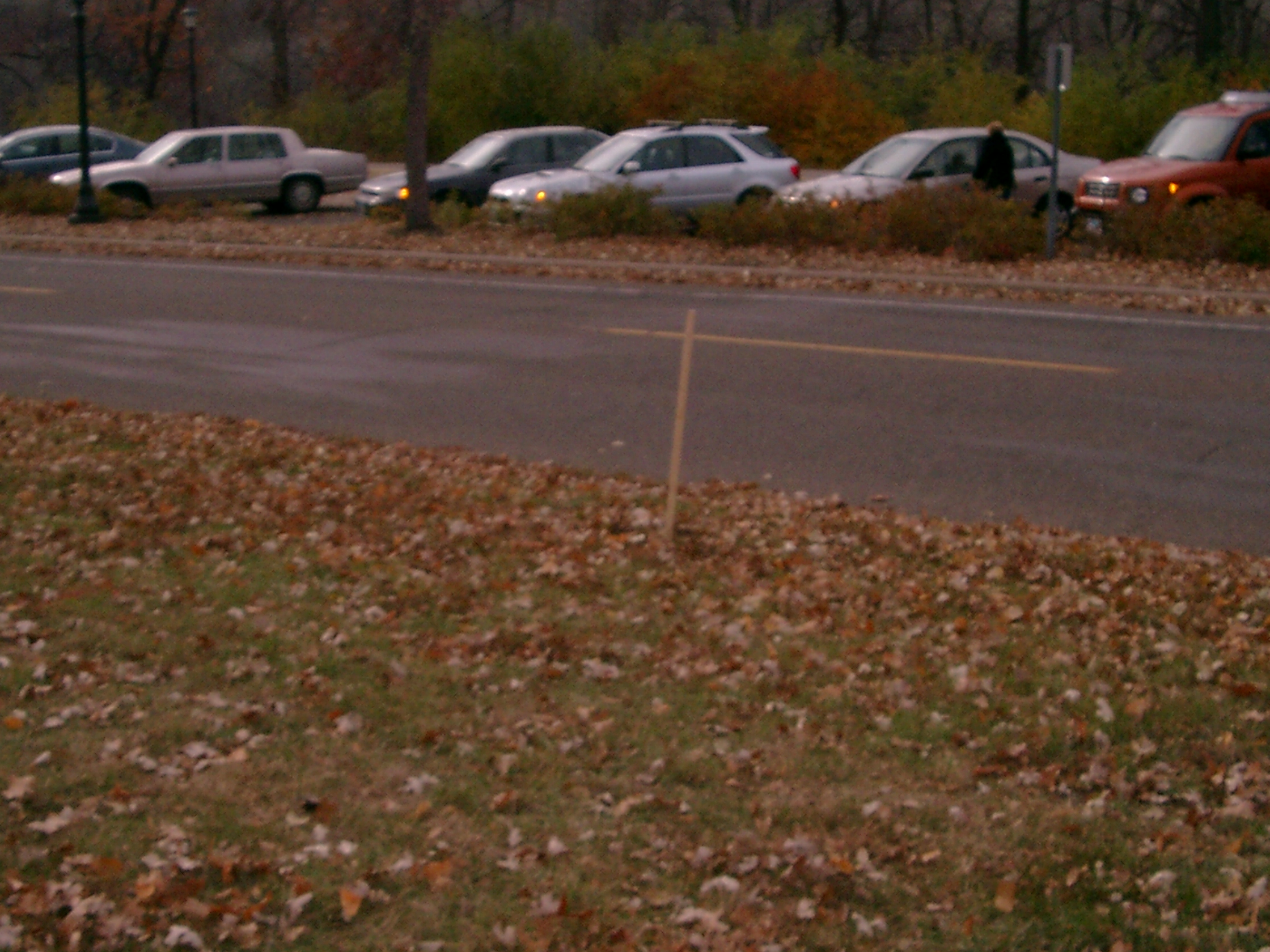
6362-2887-3.jpg
|
November 3, 2009
|
Looking East from Mississippi River Blvd.
|
|
6362-2887-2.jpg
|
November 3, 2009
|
Looking North along the East side of Mississippi River Blvd.
|
|
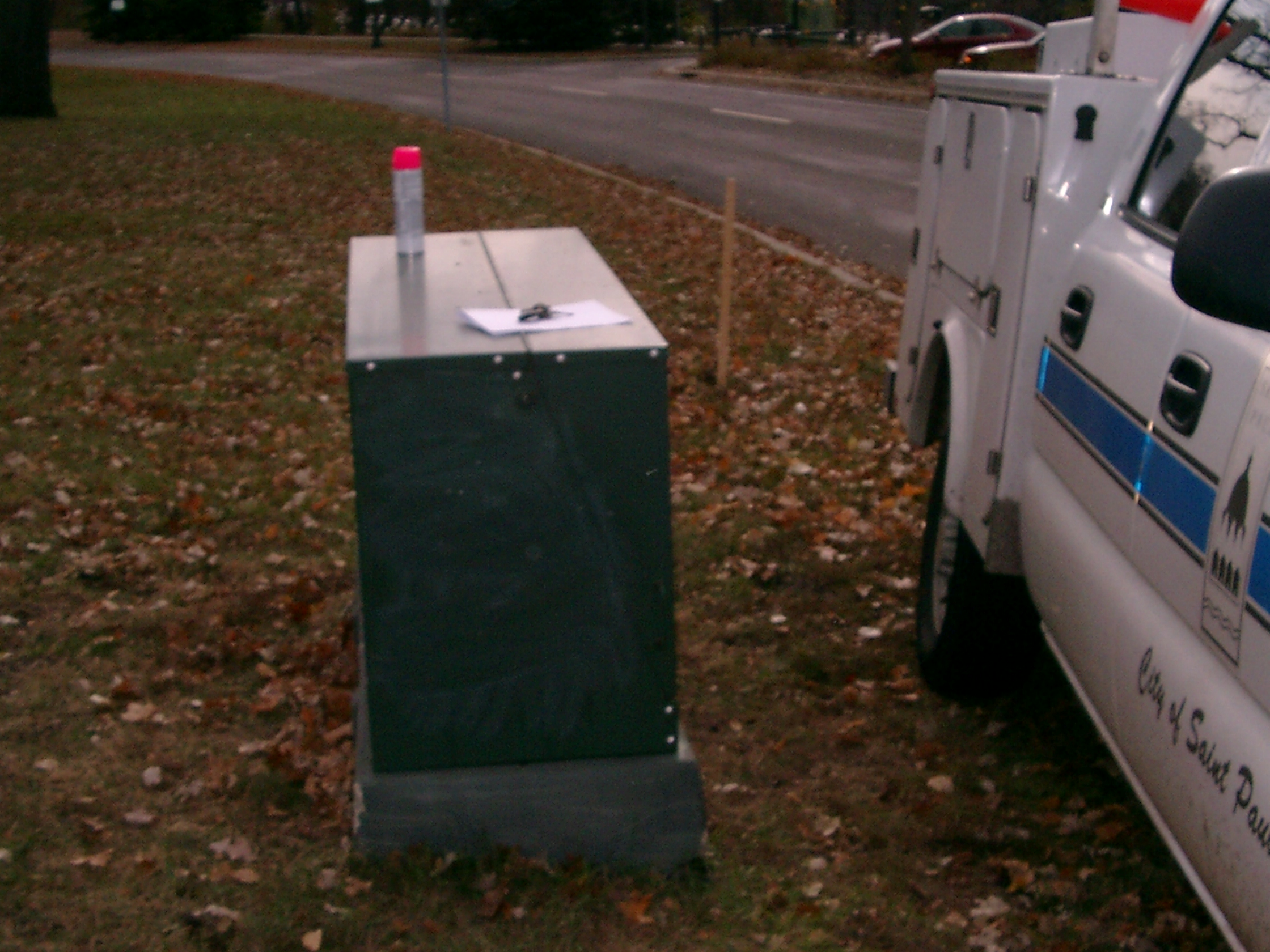
6362-2887-1.jpg
|
November 3, 2009
|
Close-up of the CIM
|