| NAD83 COORDINATES (1986 adj.): |
|---|
| X= 548118.41 Y= 150979.42 Z= 822.8 2/12/2010 RTK-VRS |
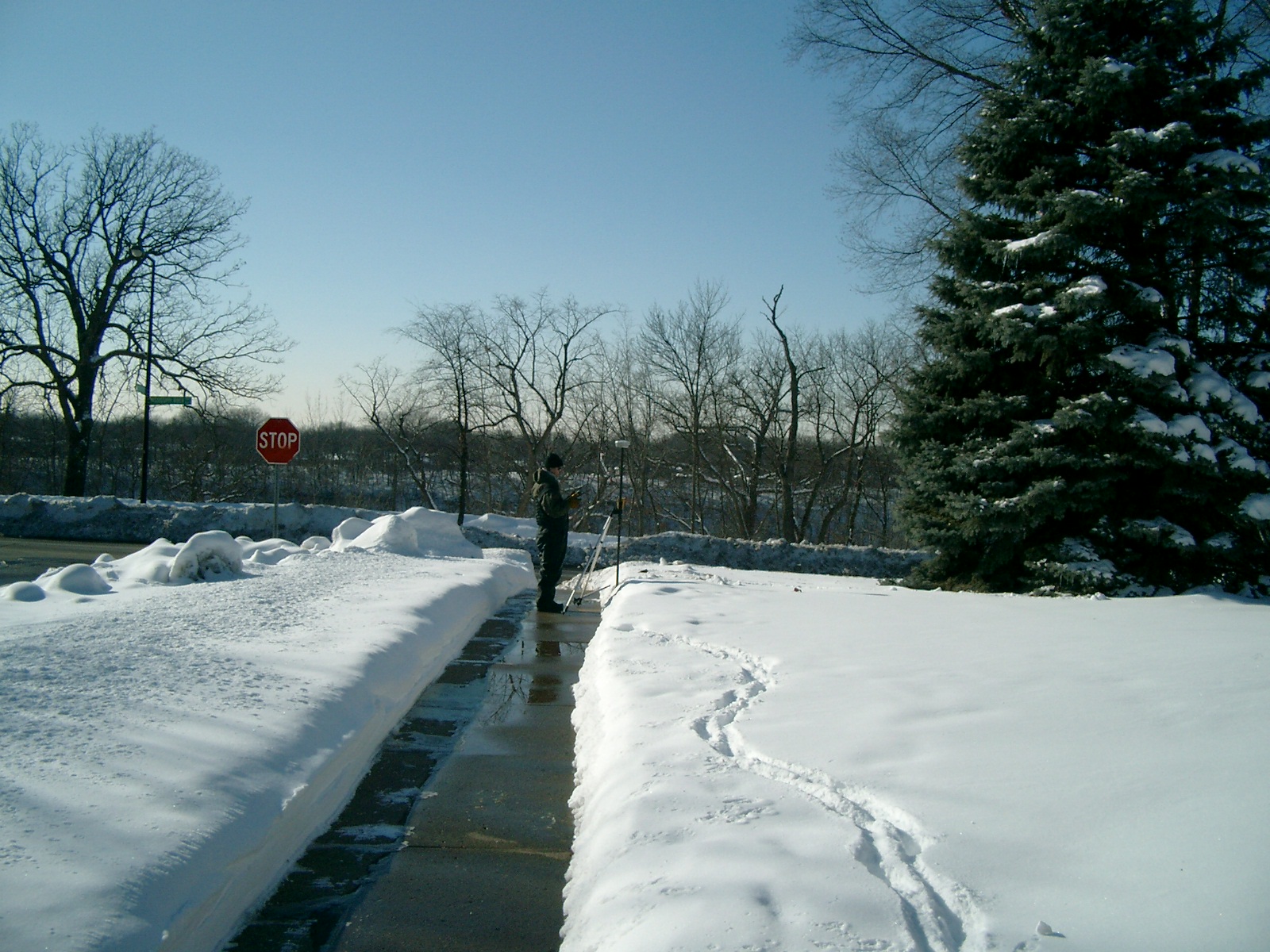
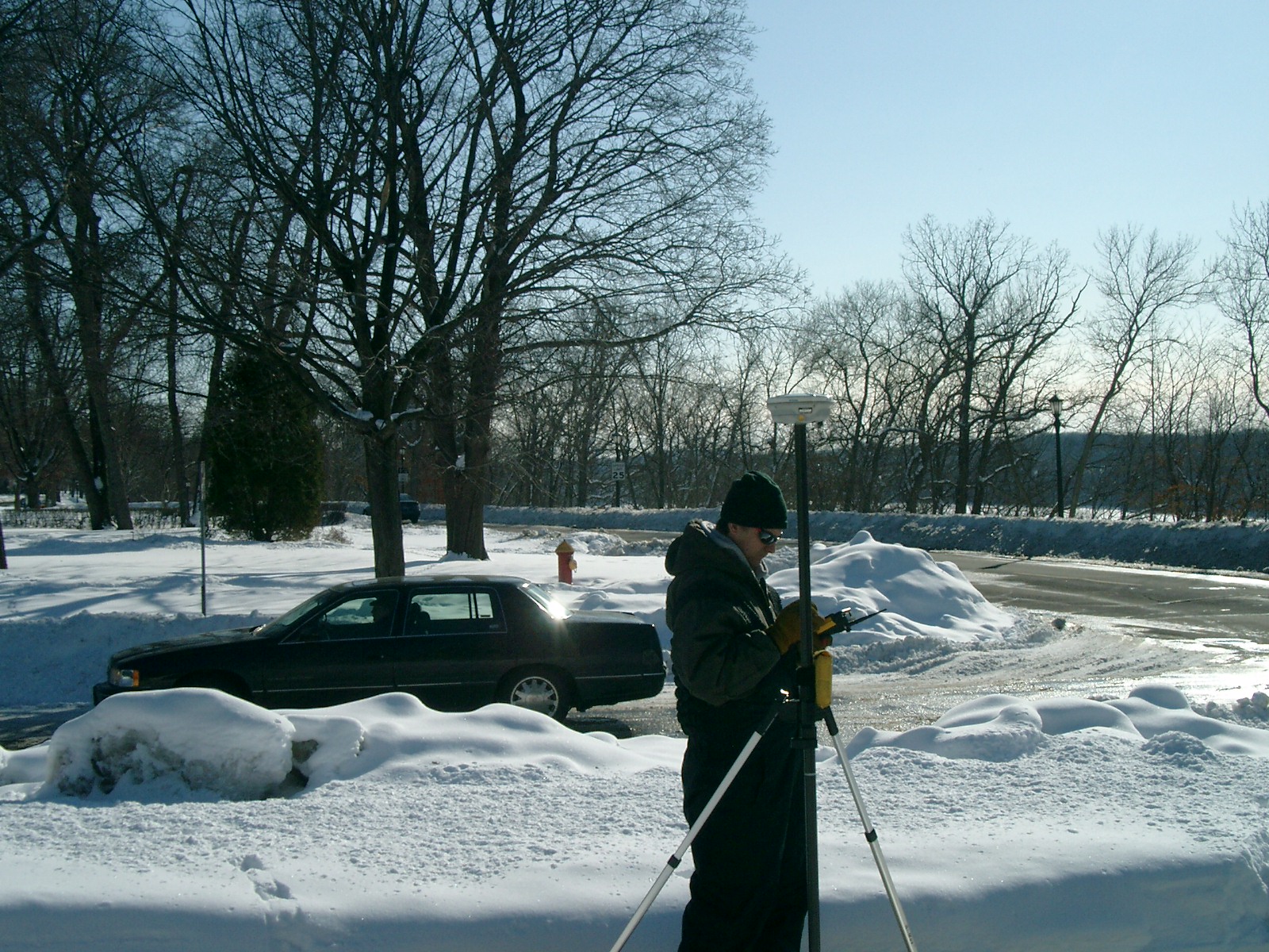
| 2/12/2010 | Established coordinates on the PIN by RTK-VRS GPS. Photos taken. |
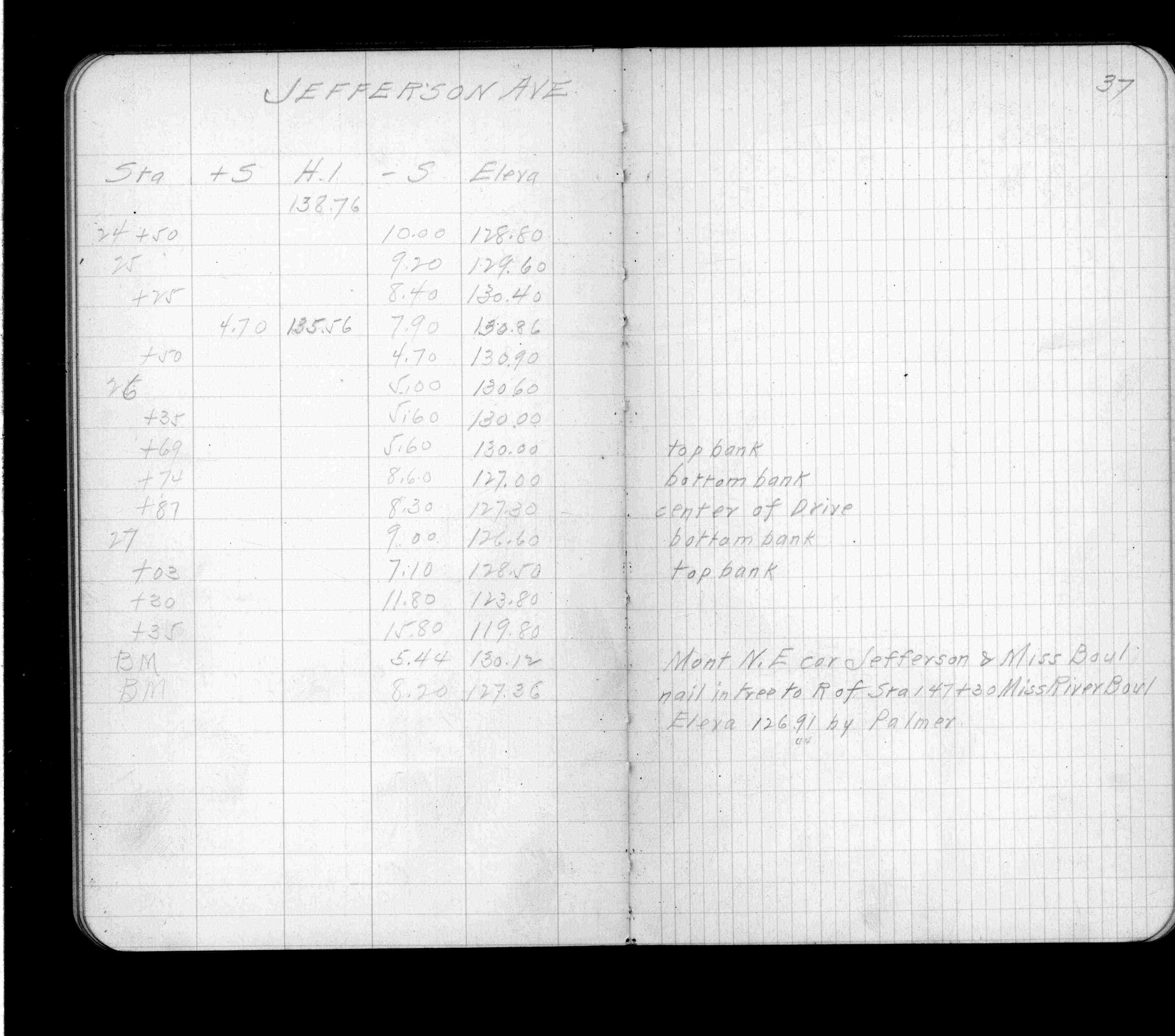
| 3/28/1912 | Elev 130.12 ft. See FB 697 p.37 |
| 2/1/1904 | (Unknown date Feb __, 1904 ) Monument set for Park Board by C F Scheunemann. |
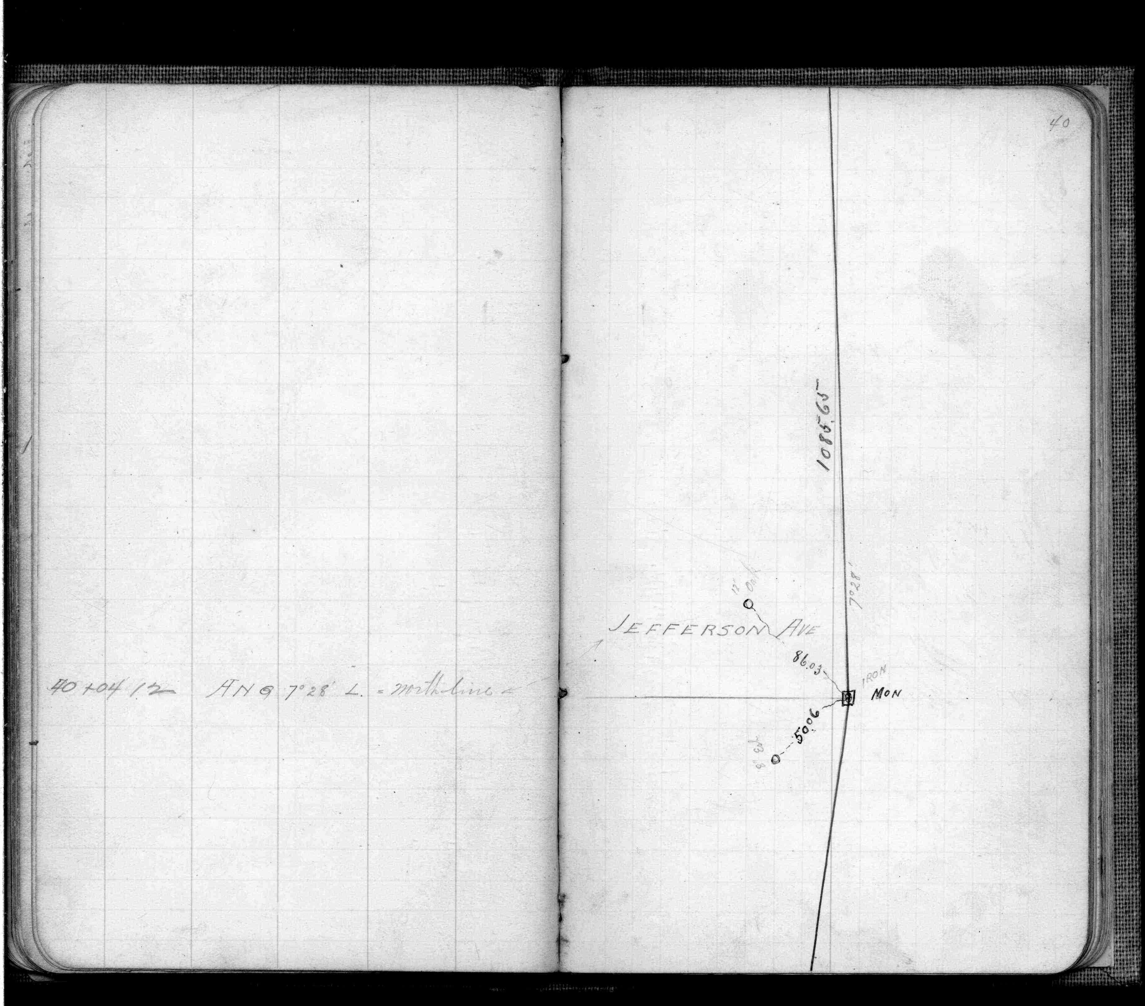
| 9/26/1902 | F OHara running out land lines in connection with Mississippi River Blvd. See FB 474 p.40 |
Above is NOT an all inclusive history of this point. Please review all the links below.
| PLS NOTES | Field | Cross Section | Sewer | J.B. Irvine | Monument | River Survey |
|---|---|---|---|---|---|---|
| FB 0474p.40 | ||||||
| FB 0697p.37 |
| FILE | PHOTO DATE | COMMENTS |
|---|---|---|
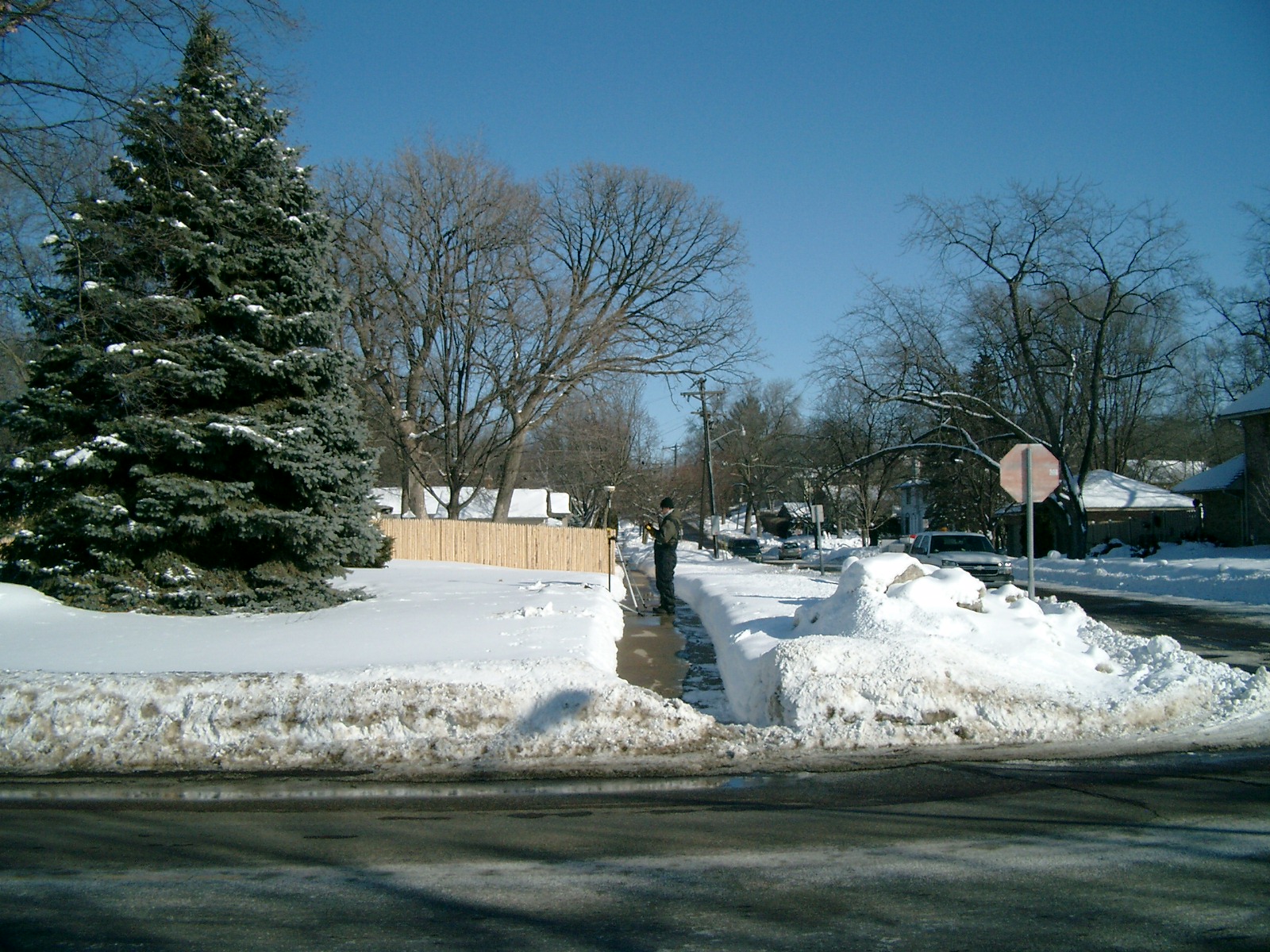
| 6373-2899-5.jpg | February 12, 2010 | Looking West along the North side of Jefferson Ave. |
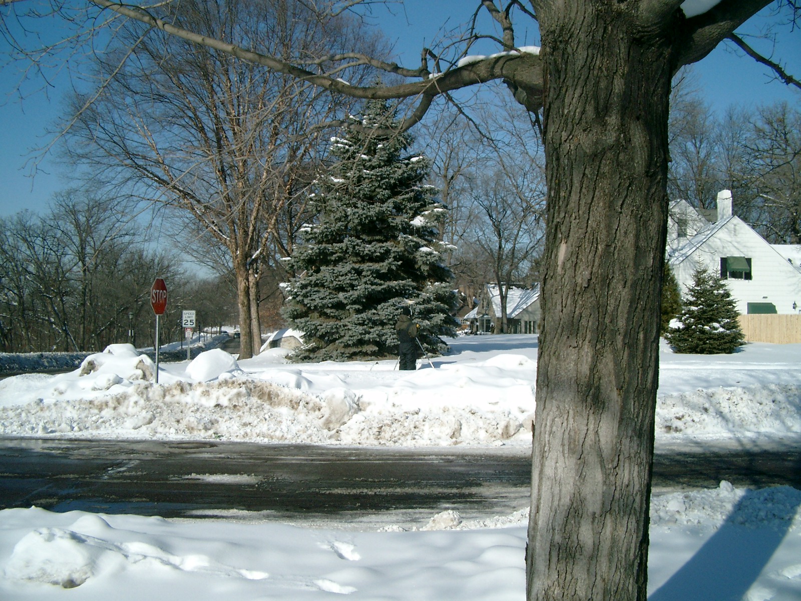
| 6373-2899-4.jpg | February 12, 2010 | Looking Southerly from the North side of Jefferson Ave. |
| 6373-2899-3.jpg | February 12, 2010 | Looking East along the North side of Jefferson Ave. |
| 6373-2899-2.jpg | February 12, 2010 | Looking Northerly from the South side of Jefferson Ave. |
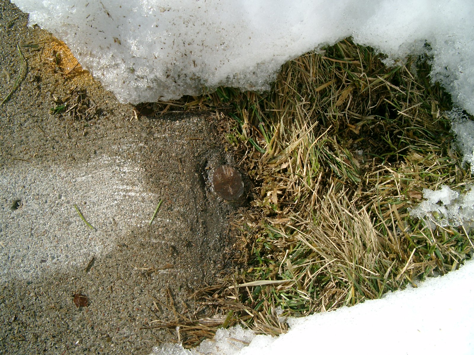
| 6373-2899-1.jpg | February 12, 2010 | Close-up of the PIN at sidewalk grade. |