| NAD83 COORDINATES (1986 adj.): |
|---|
| X= 554395.887 Y= 156157.403 Z= 916.846 3/14/2012 RTK-VRS |
| 3/14/2012 | Position on GM established using RTK-VRS GPS. Elev. 222.75. EDM ties placed using Trimble S6. |
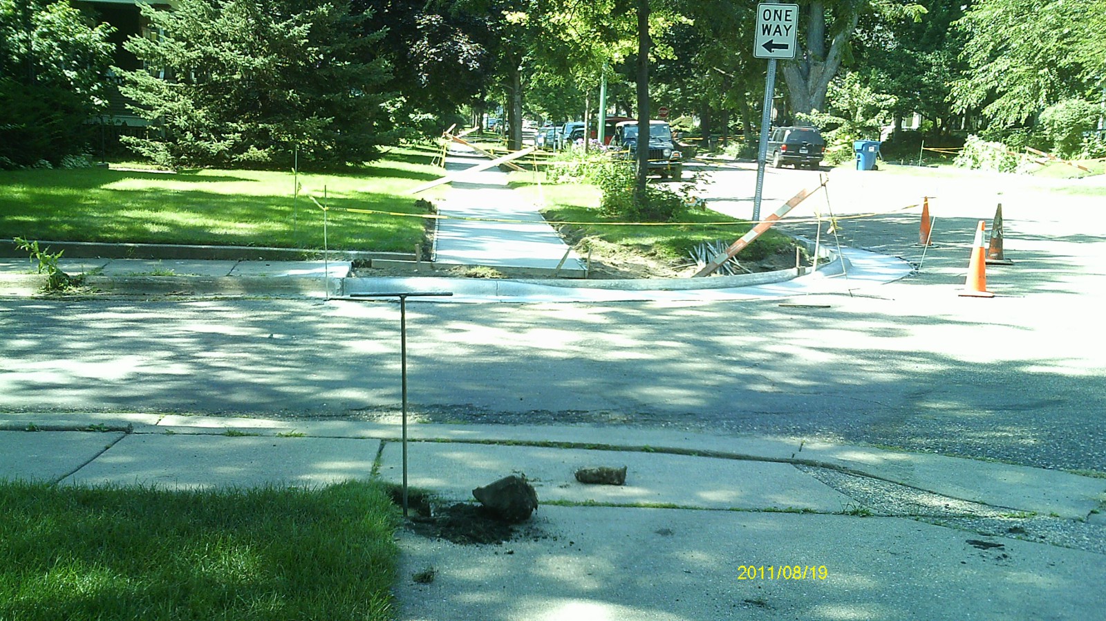
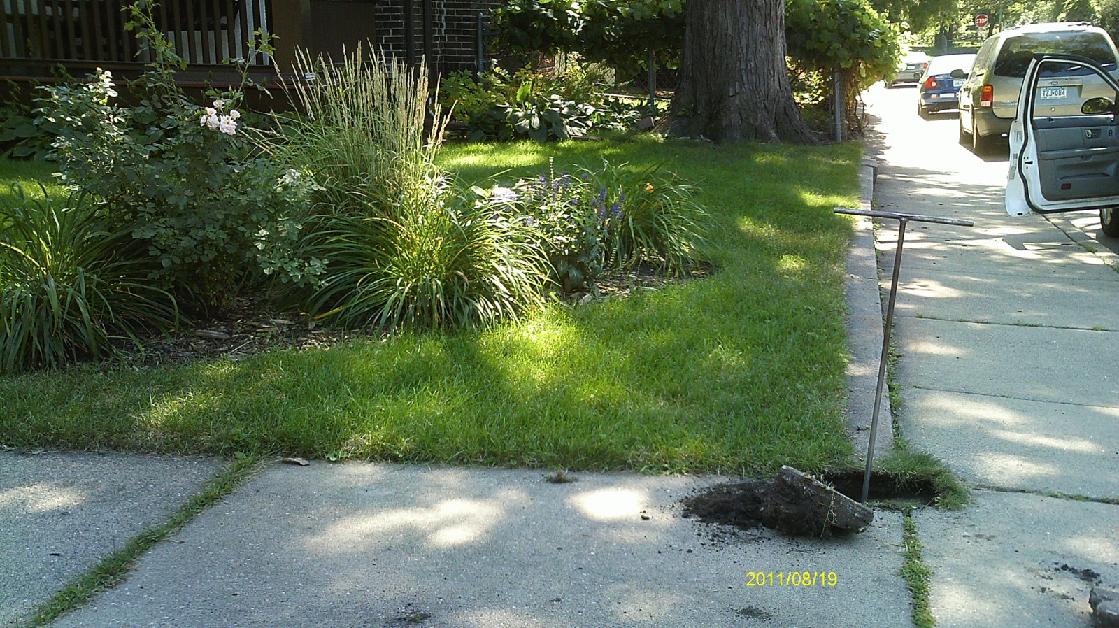
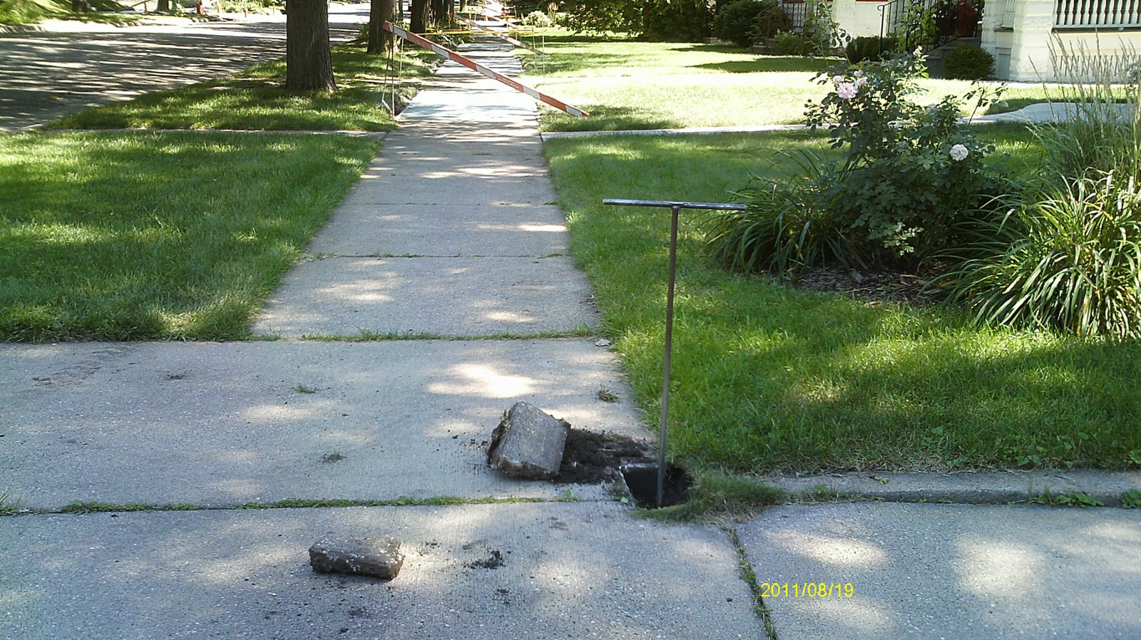
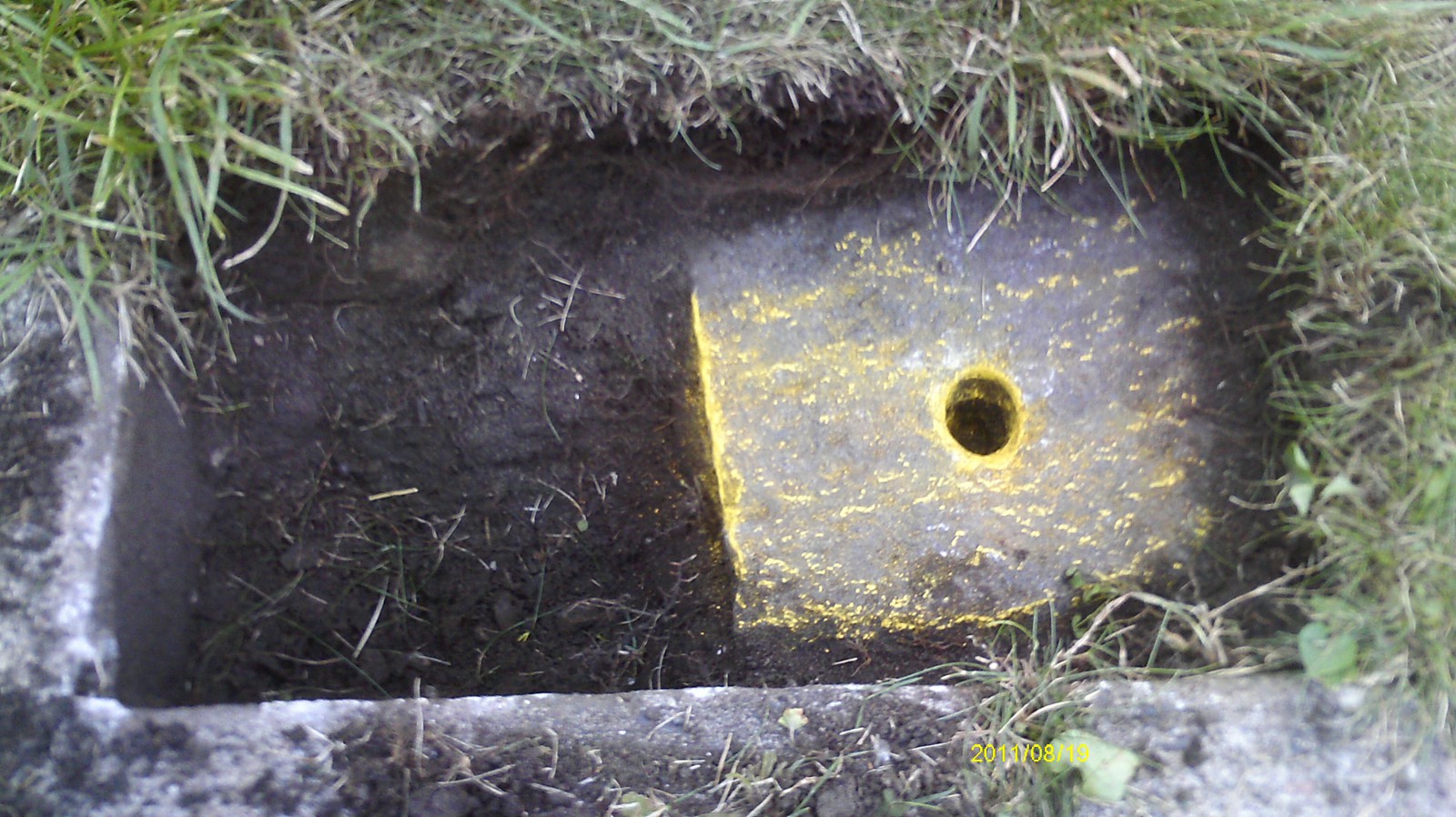
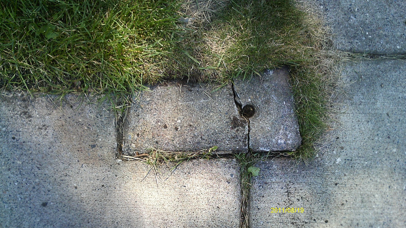
| 8/19/2011 | Found GM 0.2' below sidewalk grade. Removeable concrete cap was placed over monument at some time. Photos taken. |
| FILE | SURVEYOR | LIC. NO. | DATE SIGNED | DATE TIED |
|---|---|---|---|---|
| 6458-2996-A.pdf | Samuel D. Gibson | 44880 | September 4, 2012 | March 14, 2012 |
| FILE | PHOTO DATE | COMMENTS |
|---|---|---|
| 6458-2996-6.jpg | August 19, 2011 | Looking west along Laurel Ave. |
| 6458-2996-5.jpg | August 19, 2011 | Looking south along Herschel St. |
| 6458-2996-4.jpg | August 19, 2011 | Looking east along Laurel Ave. |
| 6458-2996-3.jpg | August 19, 2011 | Looking north along Herschel St. |
| 6458-2996-2.jpg | August 19, 2011 | Close up of monument. |
| 6458-2996-1.jpg | August 19, 2011 | Close up of concrete cap covering monument. |