STATION: 6495 1/16 Cor (142N) Earl St & Hudson Rd. WP on 1/4 Line N-S 33-29-22.
OLD INDEX NUMBER(s): ___q
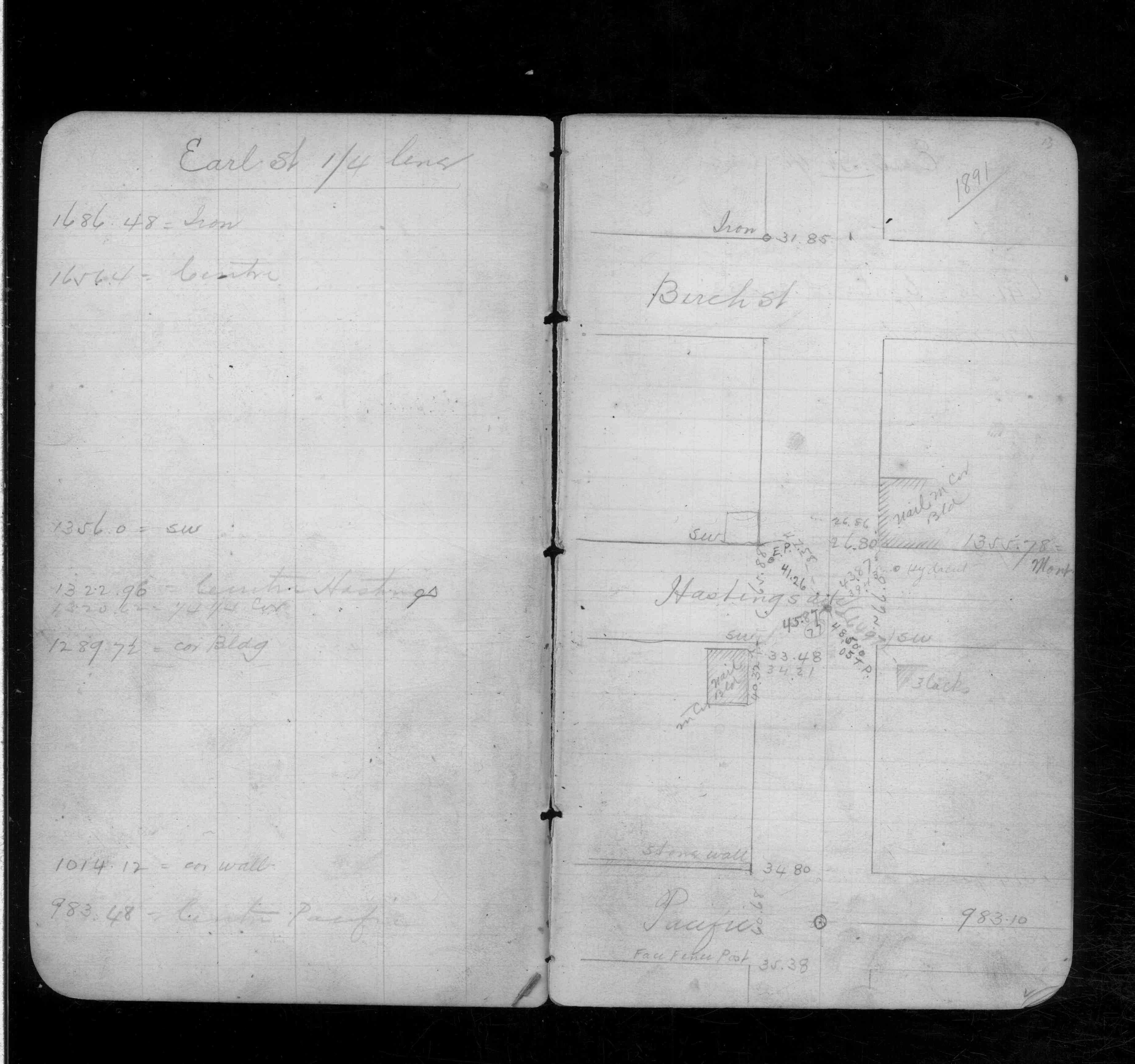
MAP: Q06 SE 1/4 Sec 33 T29N R22W
GPS STATION:
DATE COMMENTS:
1/1/1800
(Unknown date ___ __, ____ ) Placed ties. See FB 348 p.13
Above is NOT an all inclusive history of this point. Please review all the links below.
BOOKS
PLS NOTES
Field
Cross Section
Sewer
J.B. Irvine
Monument
River Survey
FB 0348p.13
Revised: January 01, 1800 Updated HTML File: March 02, 2015