| 8/12/2014 | Ties placed on broken PK nail. |
| 10/10/2013 | Found PK with head broken off at street grade appx 3 ft west of Mpls monument. Photos taken. |
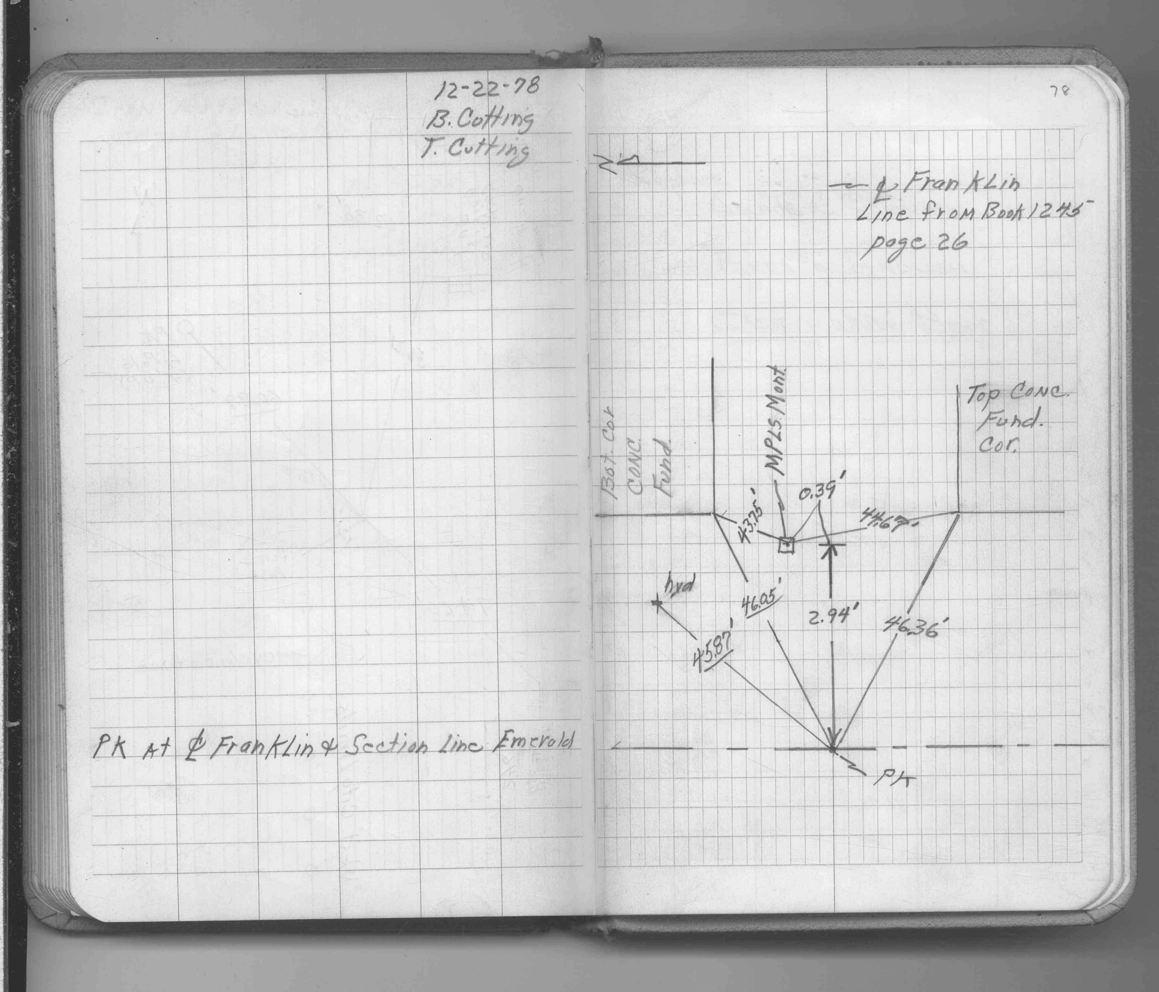
| 12/1/1978 | (Unknown date Dec __, 1978 ) P.K. nail. See FB 1689A p.78 |
Above is NOT an all inclusive history of this point. Please review all the links below.
| PLS NOTES | Field | Cross Section | Sewer | J.B. Irvine | Monument | River Survey |
|---|---|---|---|---|---|---|
| FB 1689Ap.78 |
| FILE | PHOTO DATE | COMMENTS |
|---|---|---|
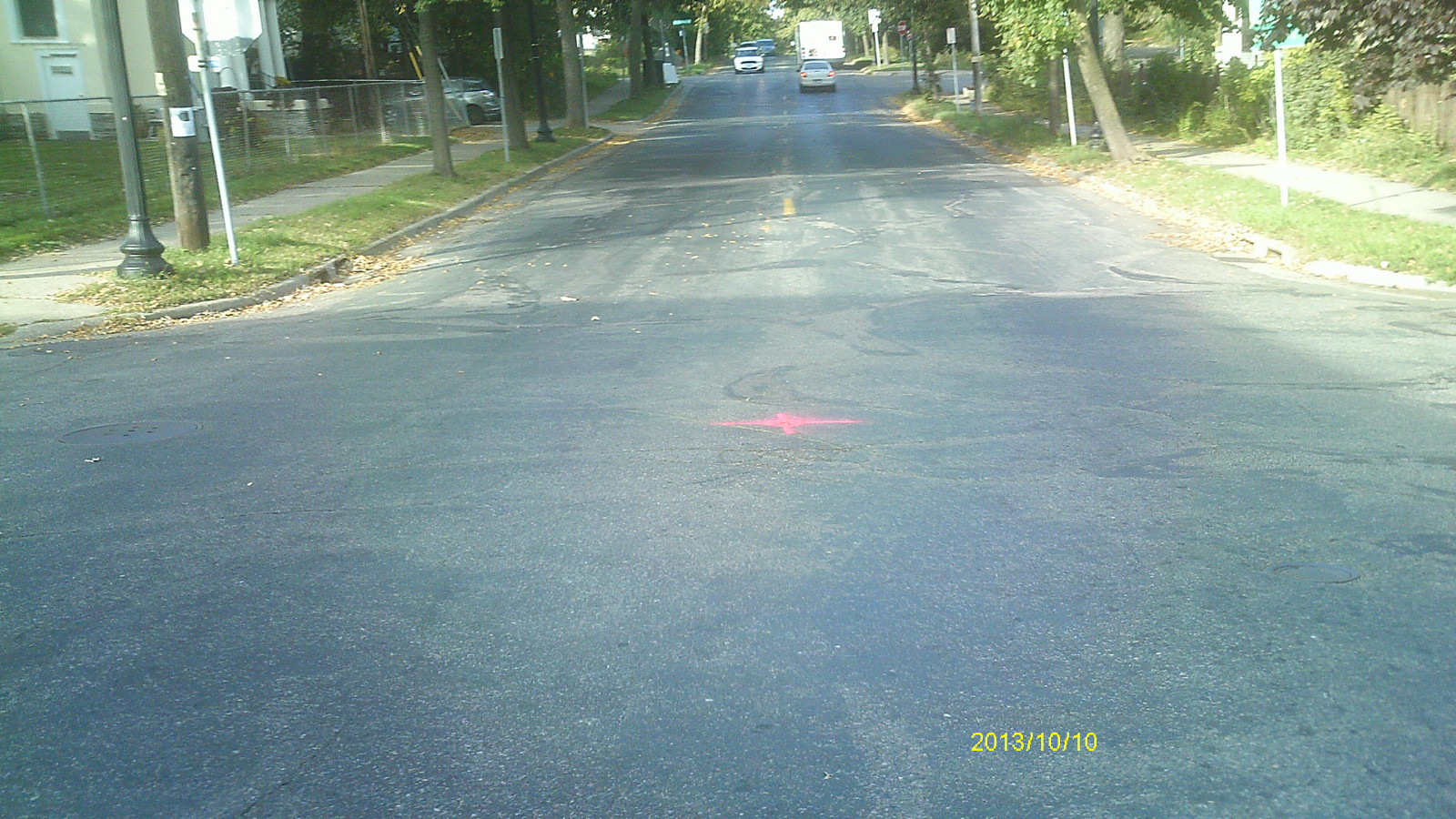
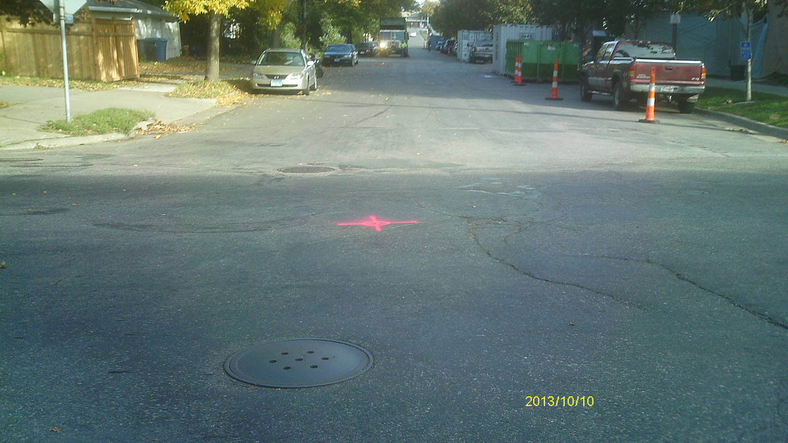
| 6537-__bt-7.jpg | October 10, 2013 | Looking west along Franklin Ave. |
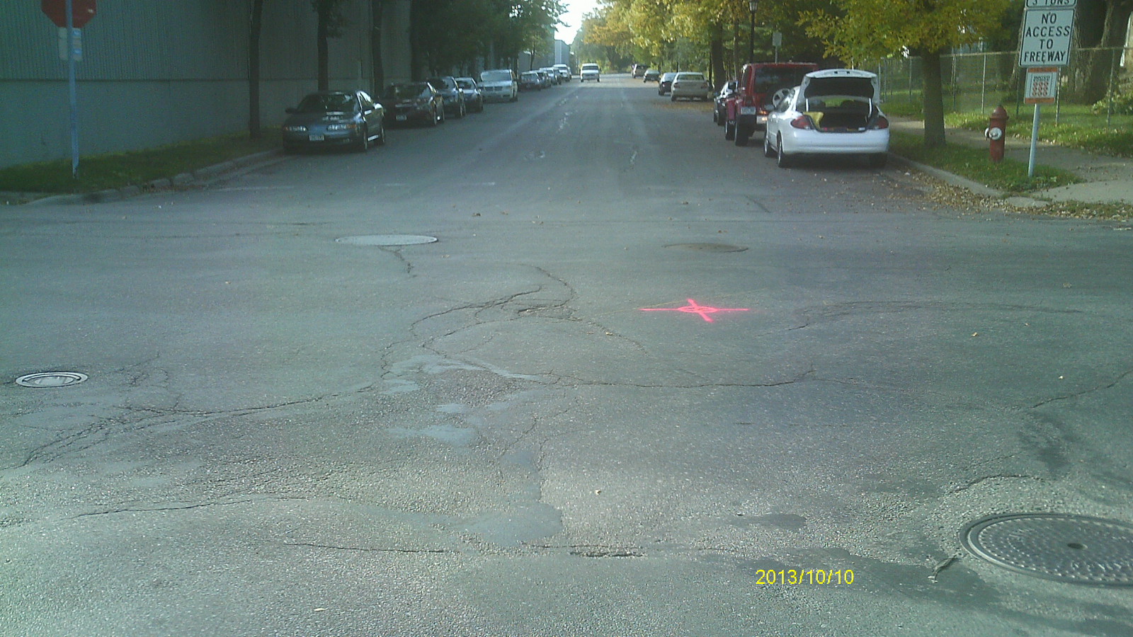
| 6537-__bt-6.jpg | October 10, 2013 | Looking south along Emerald St. |
| 6537-__bt-5.jpg | October 10, 2013 | Looking east along Franklin Ave. |
| 6537-__bt-4.jpg | October 10, 2013 | Looking north along Emerald St. |
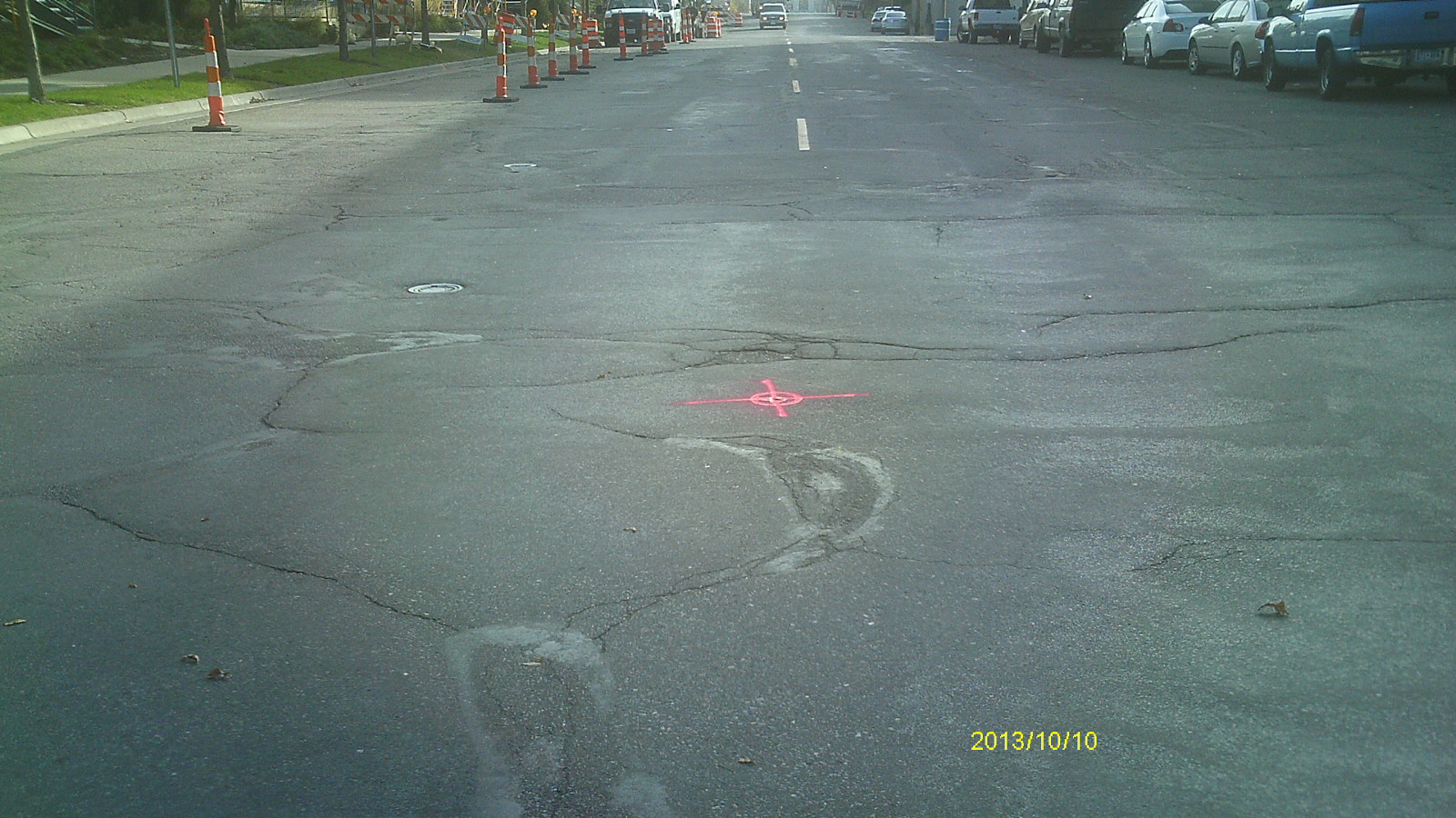
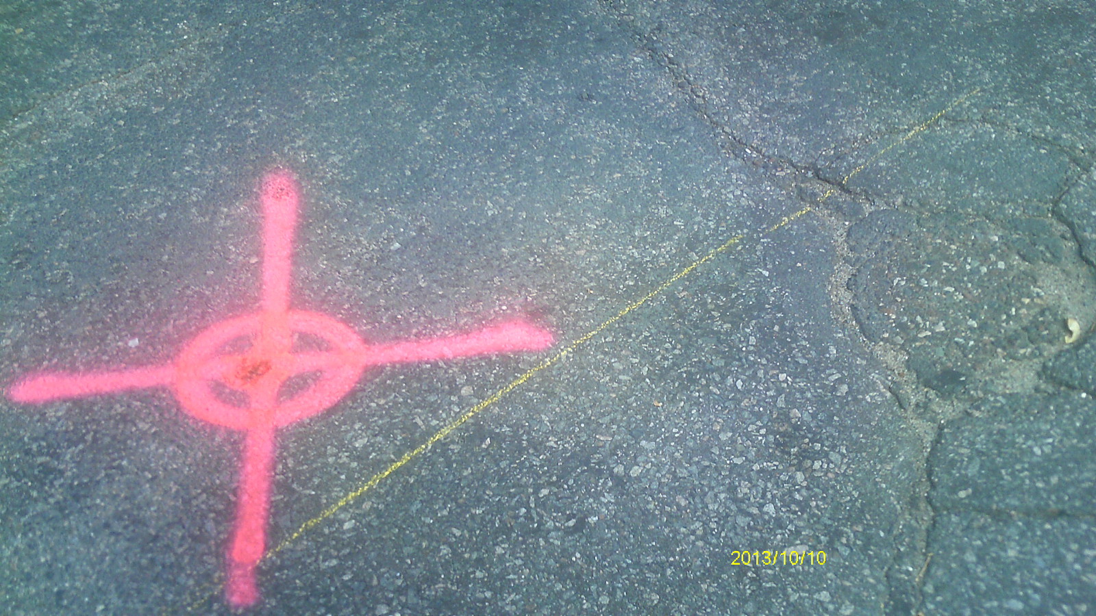
| 6537-__bt-3.jpg | October 10, 2013 | Close up showing relationship between St Paul and Mpls monuments (looking north). |
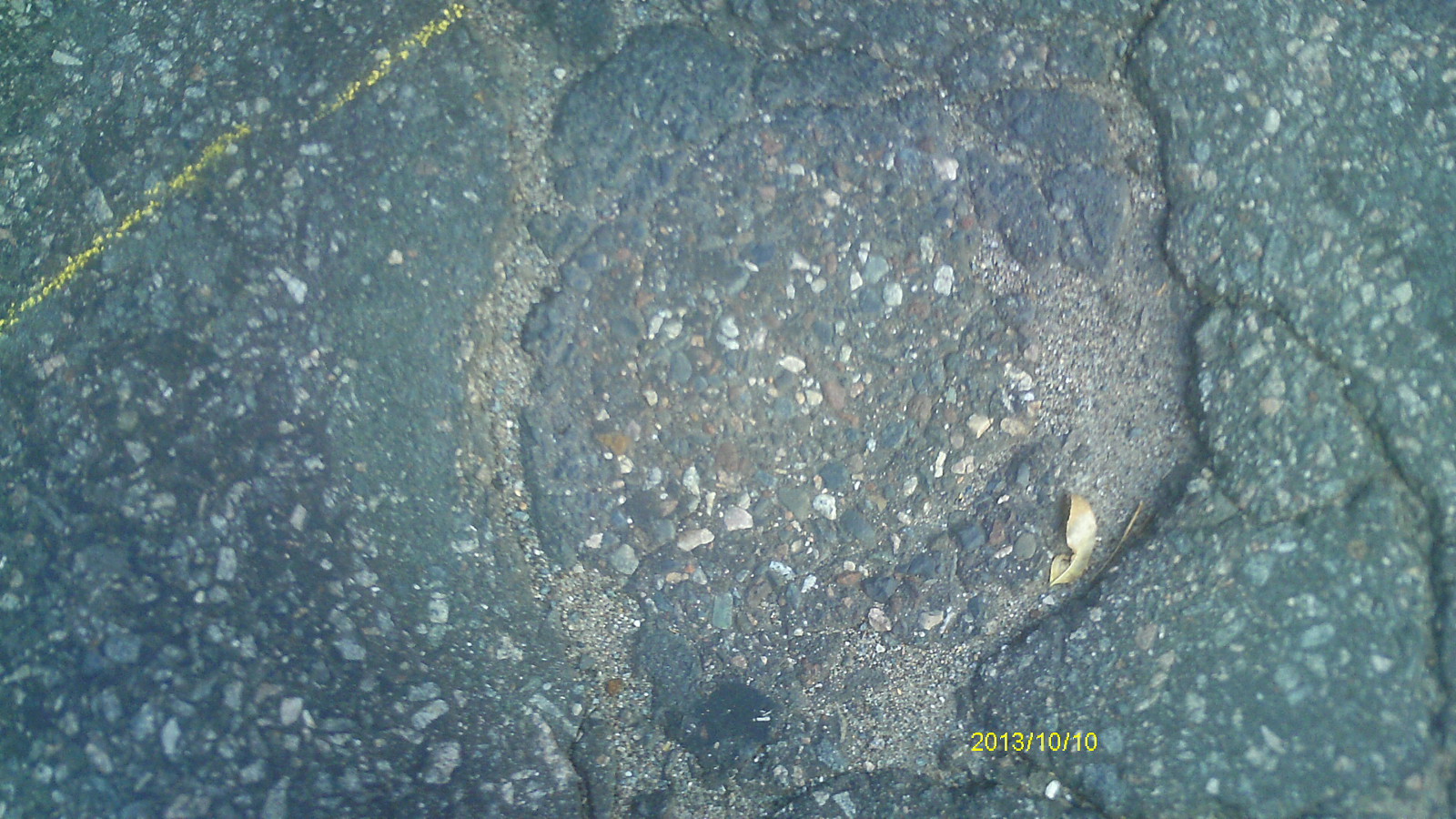
| 6537-__bt-2.jpg | October 10, 2013 | Close up of asphalt patch at location of Mpls monument. |
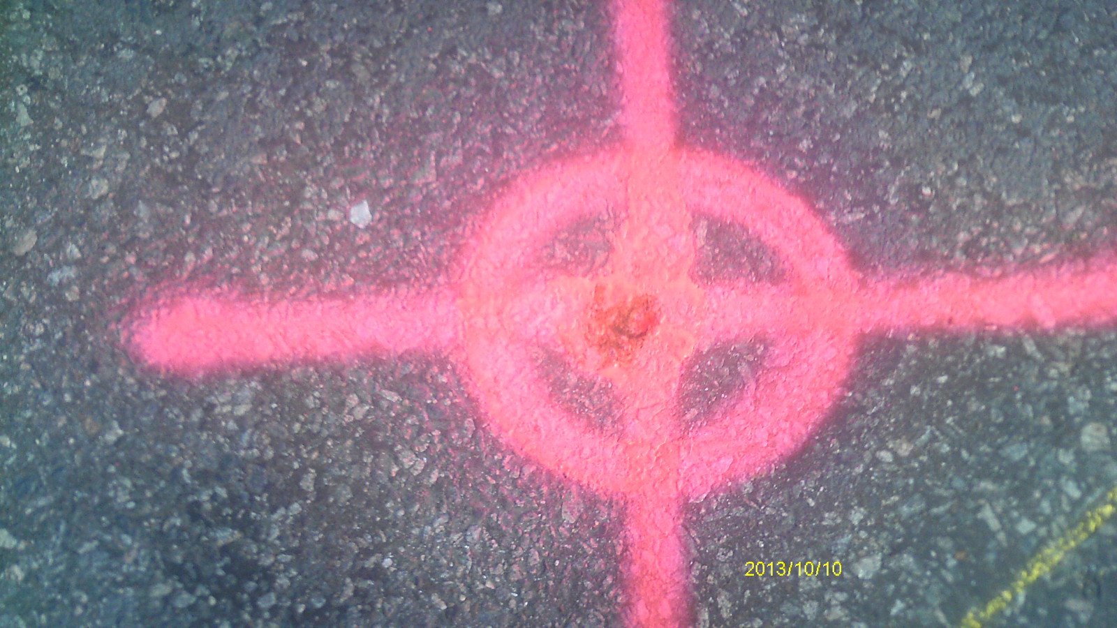
| 6537-__bt-1.jpg | October 10, 2013 | Close up of monument. |