| 10/17/2013 | Probed 1.3 ft down to solid object that might be a monument. |
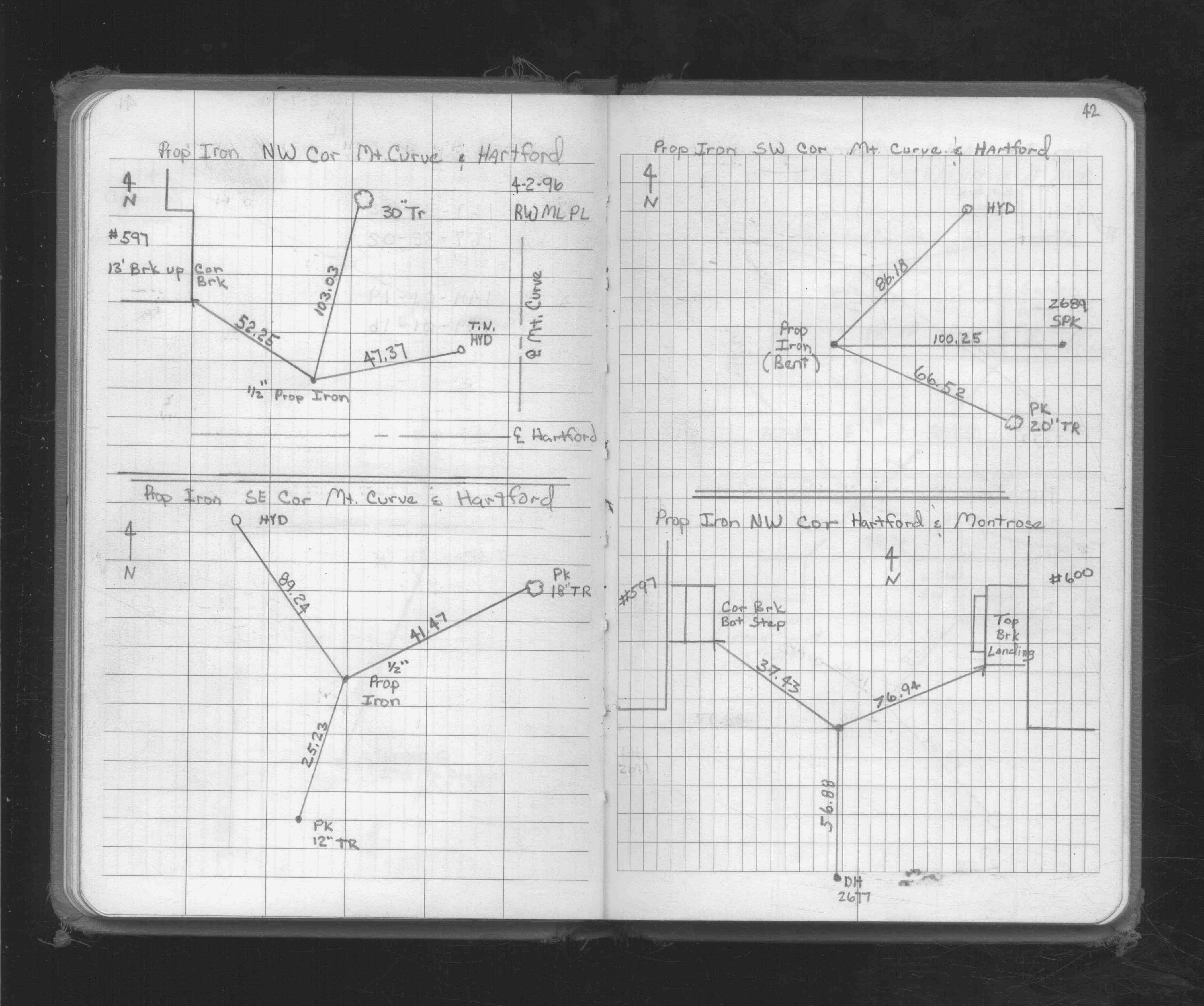
| 4/1/1996 | (Unknown date Apr __, 1996 ) Property Iron Ties. See FB 1719A p.42 |
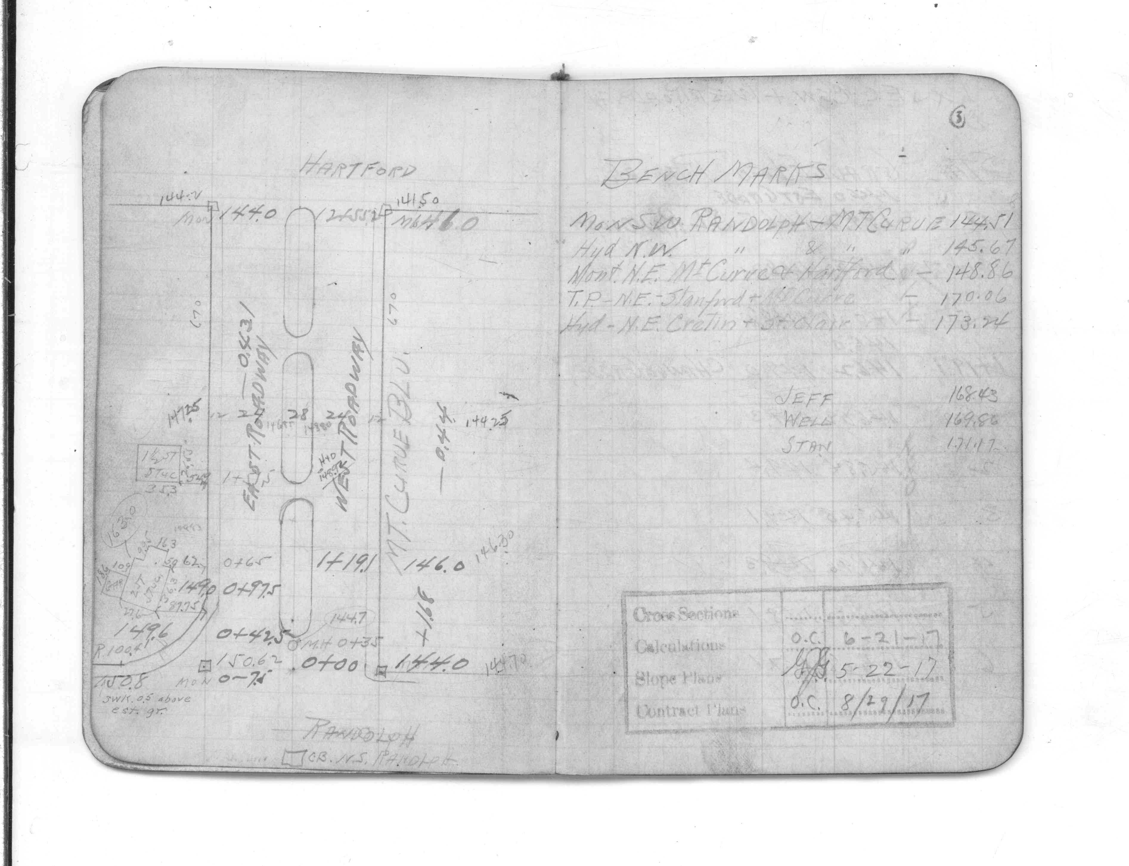
| 5/18/1917 | Monument located during a Mount Curve Blvd. survey. |
Above is NOT an all inclusive history of this point. Please review all the links below.
| PLS NOTES | Field | Cross Section | Sewer | J.B. Irvine | Monument | River Survey |
|---|---|---|---|---|---|---|
| FB 1719Ap.42 | CS 1721p.03 |