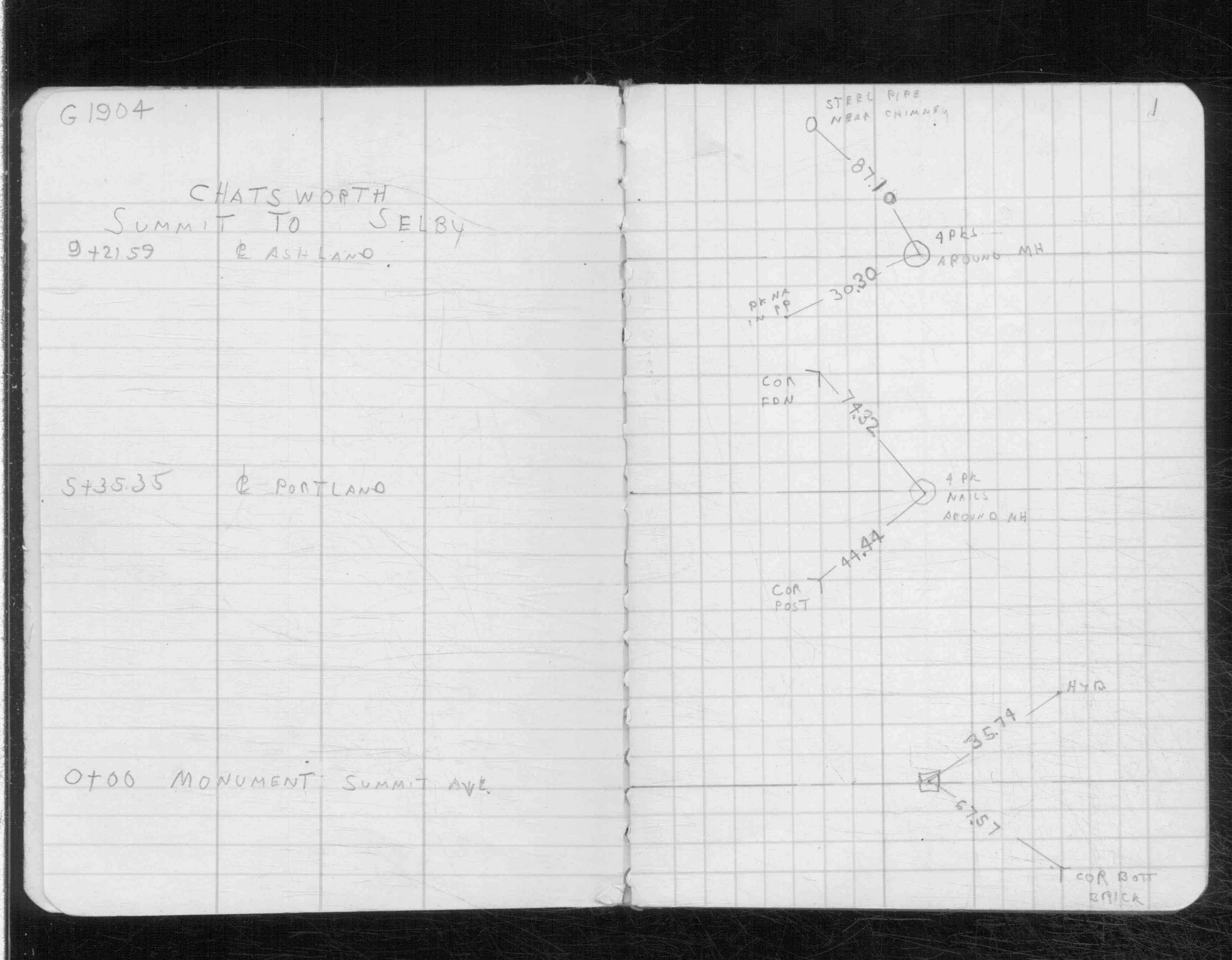
| 6/1/1969 | Placed ties on the monument. See CS 3712 p.1 |
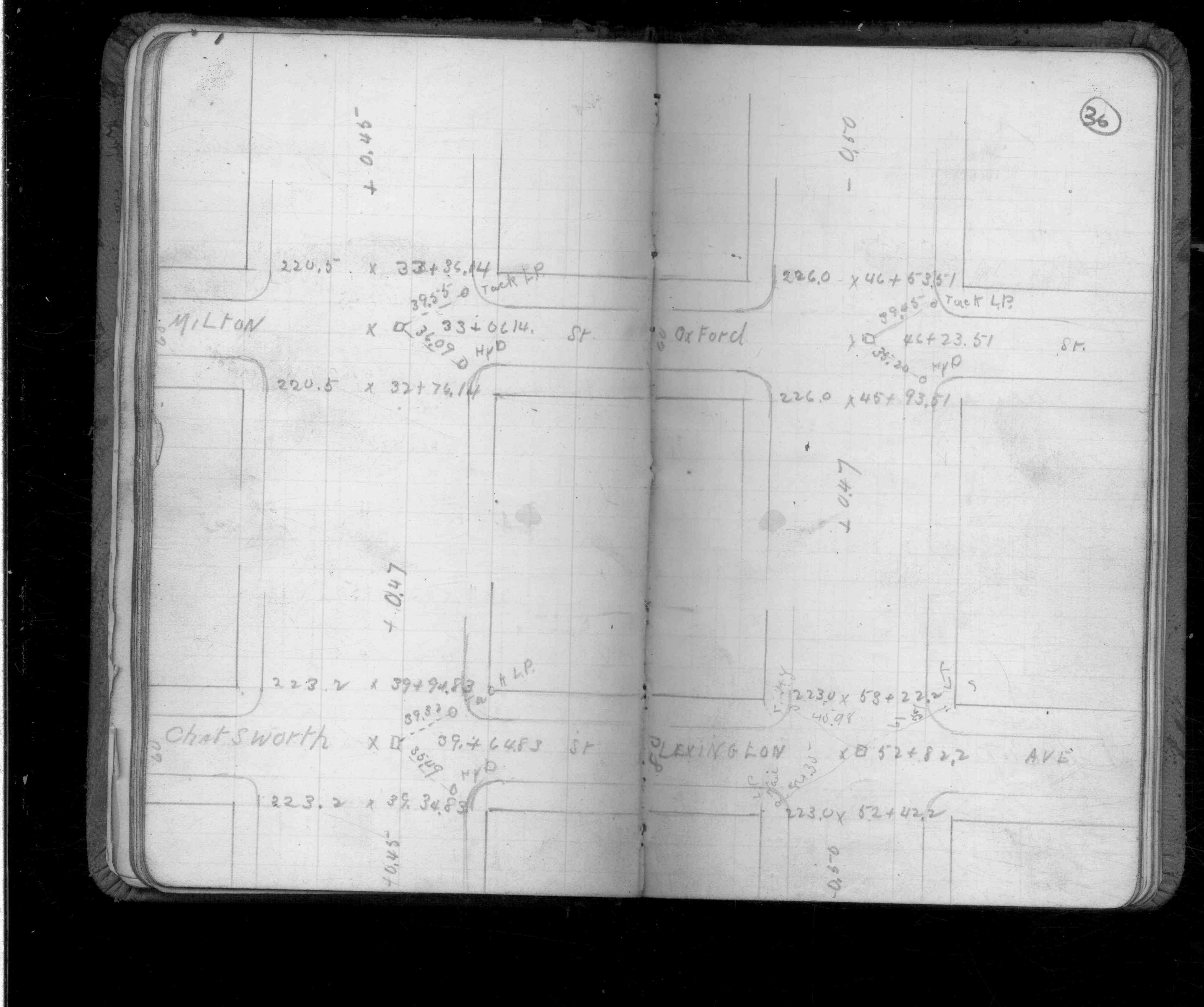
| 3/1/1906 | Placed ties on the monument. See CS 1253 p. 36 |
Above is NOT an all inclusive history of this point. Please review all the links below.
| PLS NOTES | Field | Cross Section | Sewer | J.B. Irvine | Monument | River Survey |
|---|---|---|---|---|---|---|
| CS 1253p.36 | ||||||
| CS 3712p.01 |