| NAD83 COORDINATES (1986 adj.): |
|---|
| X= 588661.90 Y= 171488.74 Z= 911.0 2/17/2010 RTK-VRS |
| 2/17/2010 | Position established on the CIM by RTK-VRS Elev. 911.0 ft |
| 2/17/2010 | Photos taken. |
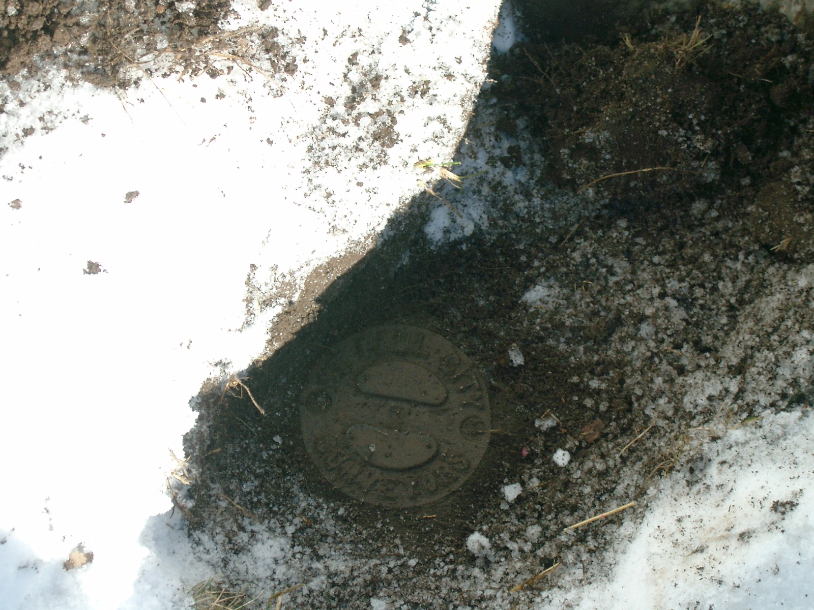
| 2/16/2010 | Found a CIM 0.25 ft. below grade stamped 'St Paul City Surveyors' Placed ties. See CofL 6714-__pq-A.pdf. |
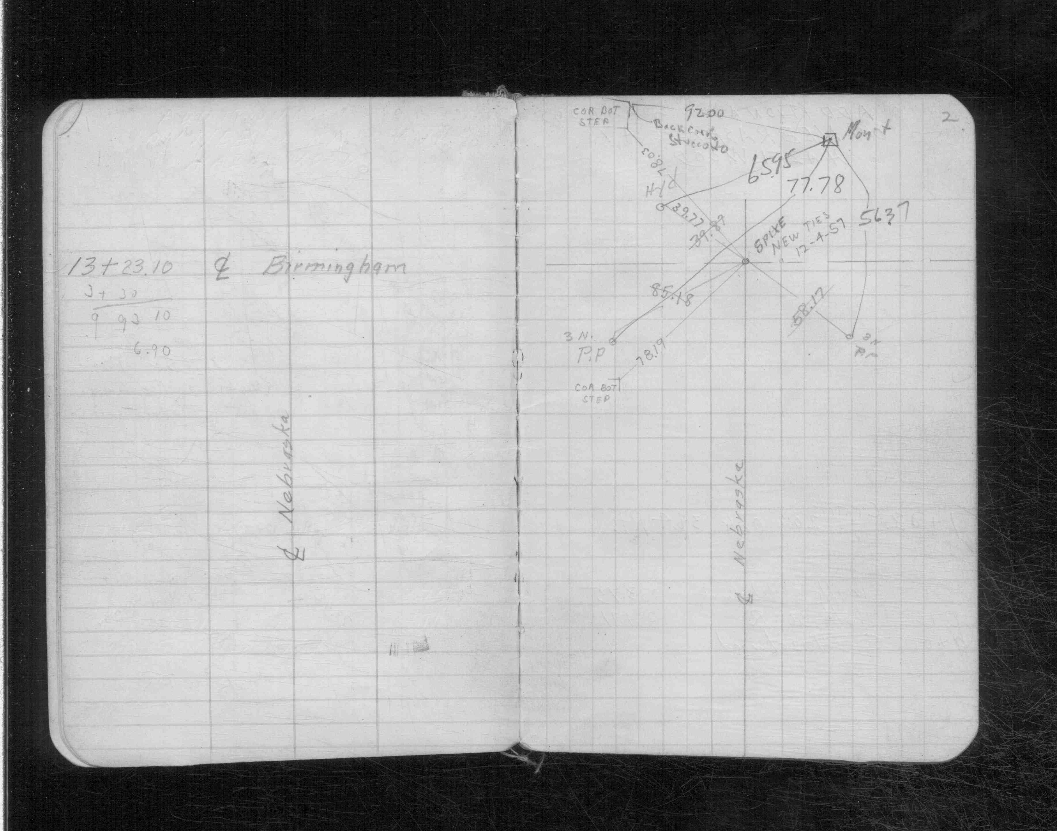
| 12/4/1957 | Monument located by R. Hjerpe. See CS 3136 p2. |
Above is NOT an all inclusive history of this point. Please review all the links below.
| PLS NOTES | Field | Cross Section | Sewer | J.B. Irvine | Monument | River Survey |
|---|---|---|---|---|---|---|
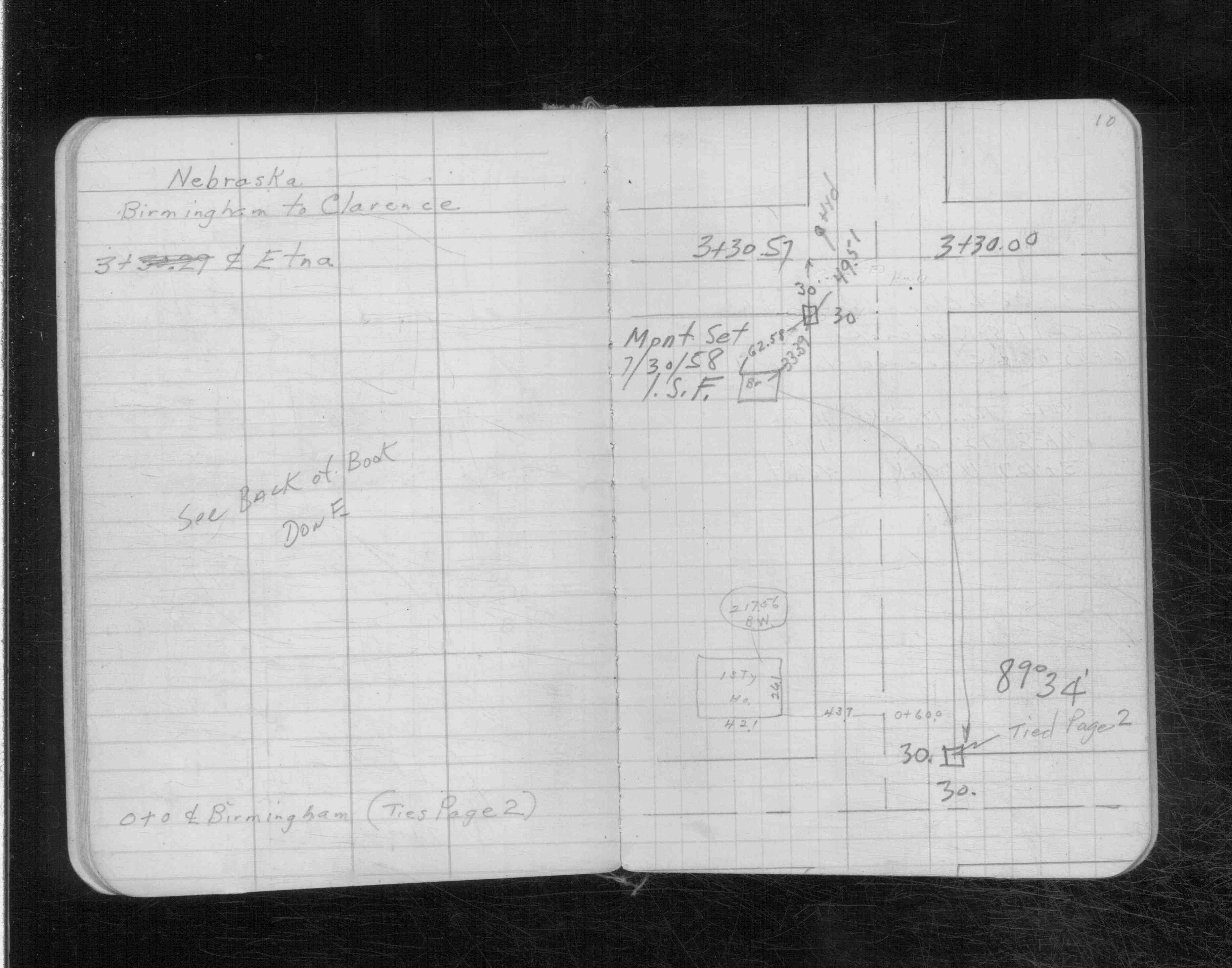
| CS 3136p. 02 ,10 | ||||||
| CS 3137p.0f |
| FILE | SURVEYOR | LIC. NO. | DATE SIGNED | DATE TIED |
|---|---|---|---|---|
| 6714-__pq-A.pdf | Samuel D. Gibson | 44880 | March 16, 2010 | February 16, 2010 |
| FILE | PHOTO DATE | COMMENTS |
|---|---|---|
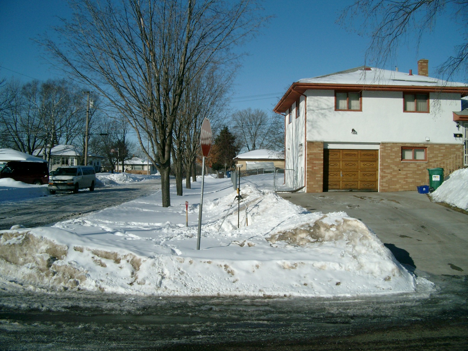
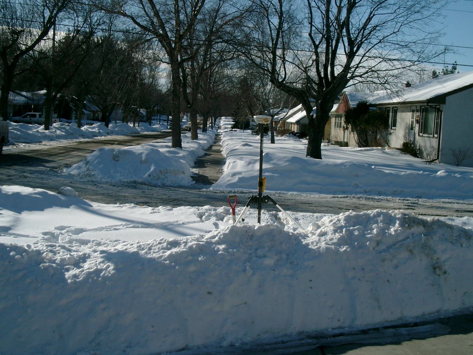
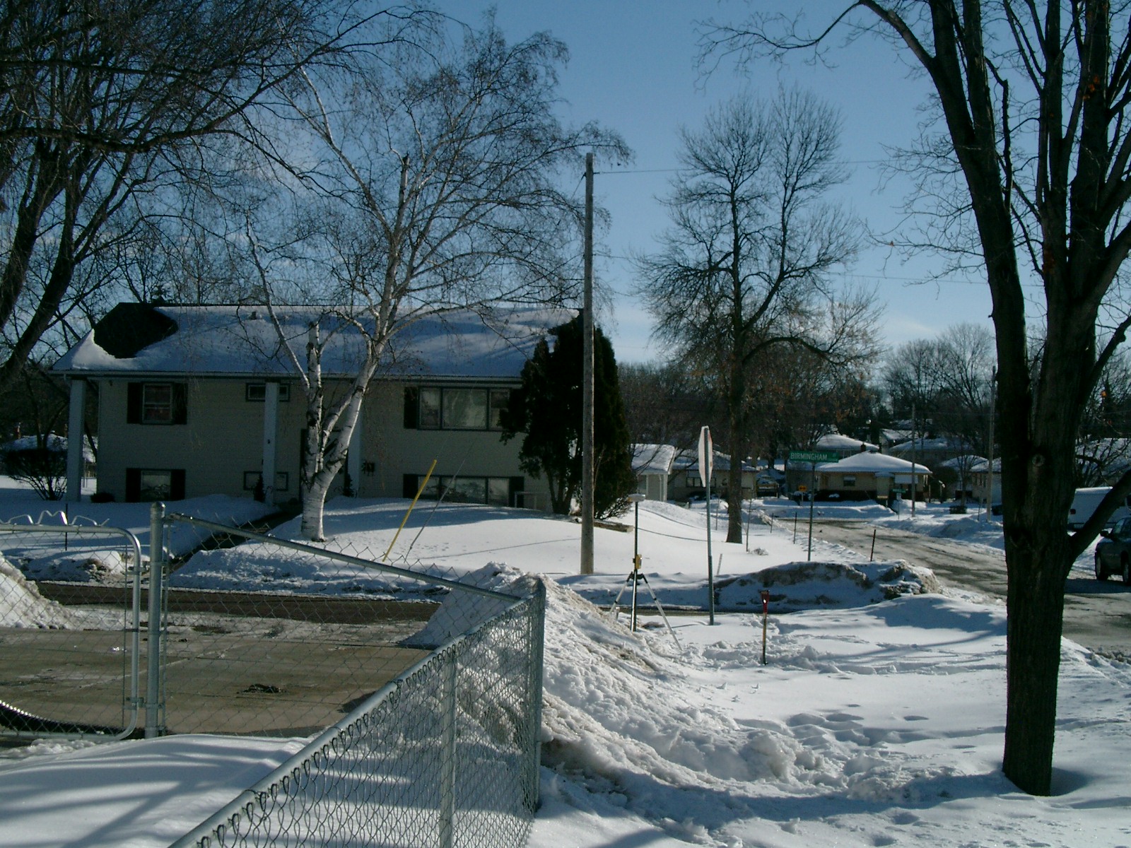
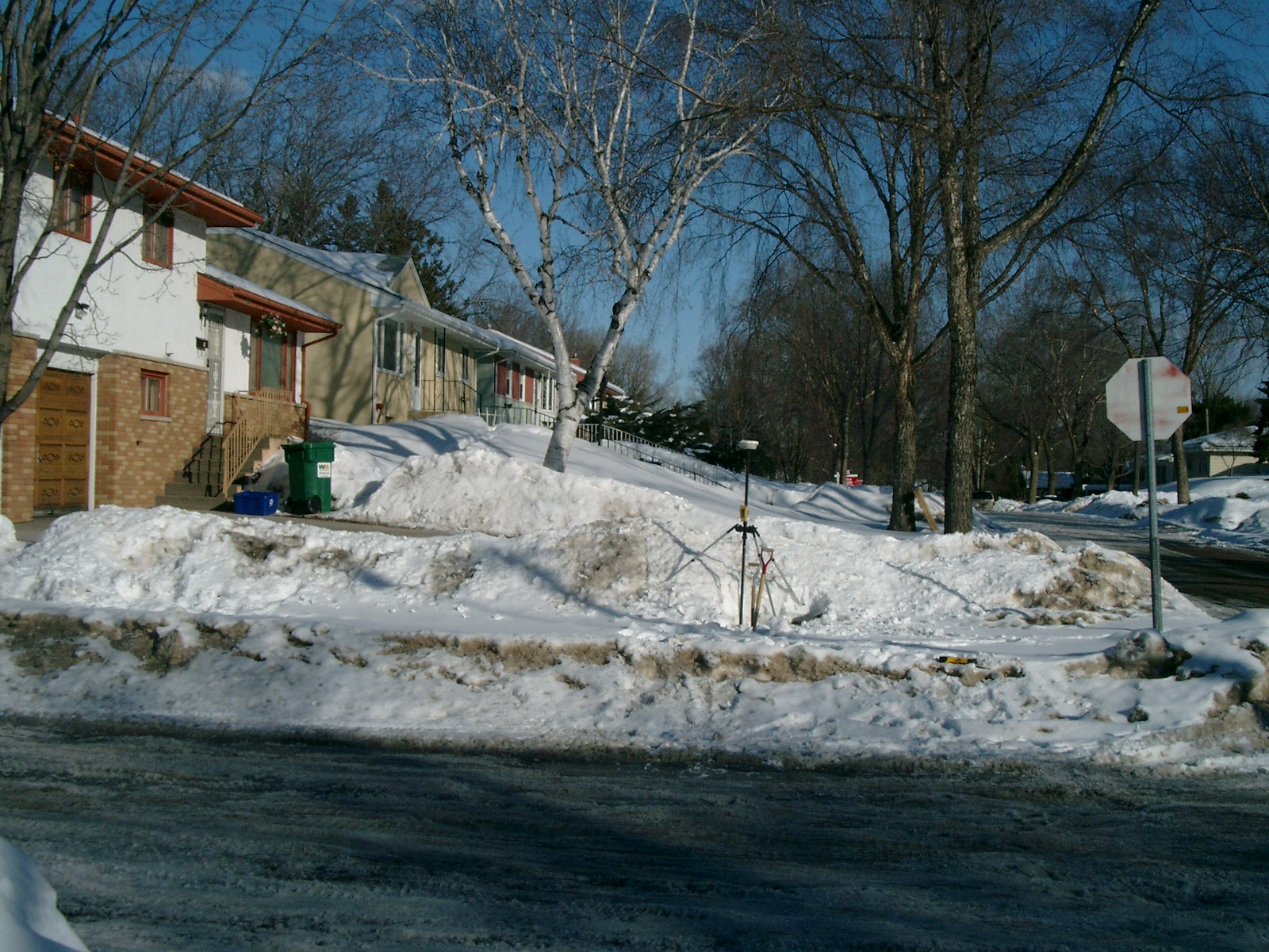
| 6714-__pq-5.jpg | February 17, 2010 | Looking West along the North side of Nebraska Ave. |
| 6714-__pq-4.jpg | February 17, 2010 | Looking South along the West side of Birmingham St. |
| 6714-__pq-3.jpg | February 17, 2010 | Looking East along the North side of Nebraska Ave. |
| 6714-__pq-2.jpg | February 17, 2010 | Looking North along the West side of Birmingham St. |
| 6714-__pq-1.jpg | February 17, 2010 | Close-up of the CIM. |