| NAD83 COORDINATES (1996 adj.): |
|---|
| X= 590807.629 Y= 158326.262 Z= 906.9 MnDot |
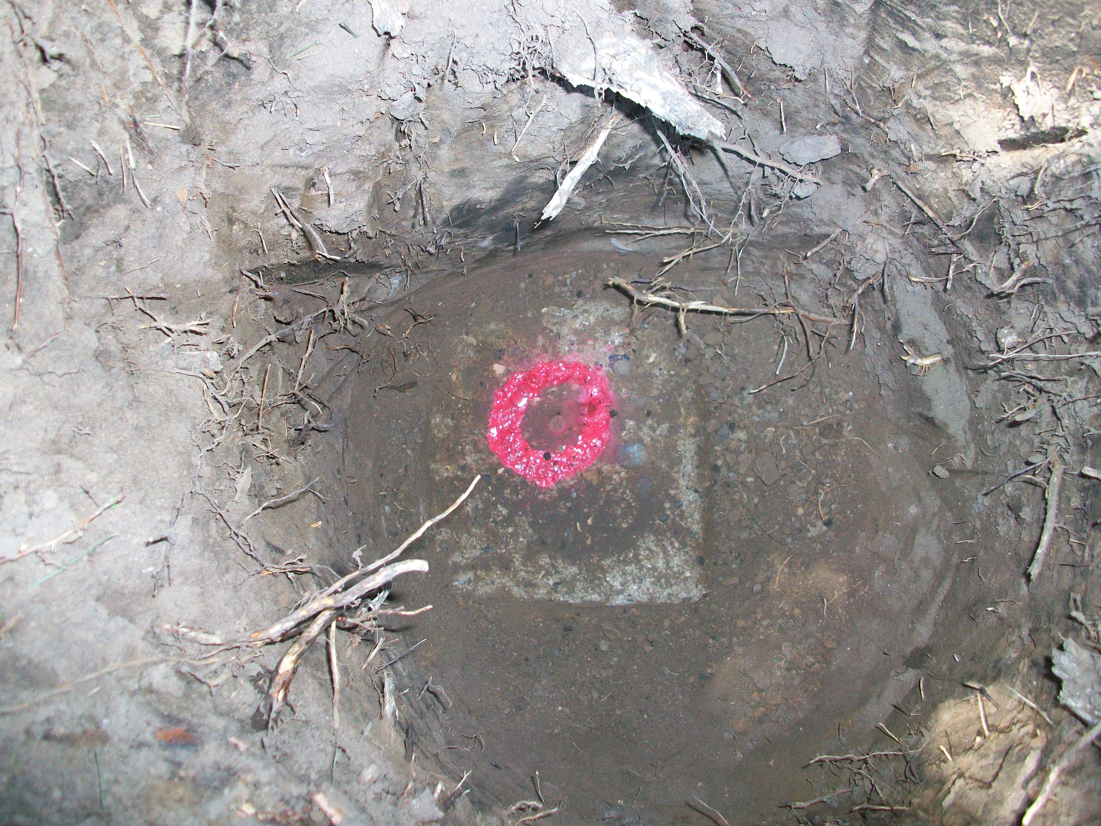
| 7/23/2010 | MnDOT found 8 in sq concrete monument appx 1.5 ft below grade. Coordinate established using total station w/ static GPS control (1996 adj). Photo taken. City Elev = 212.64 ft |
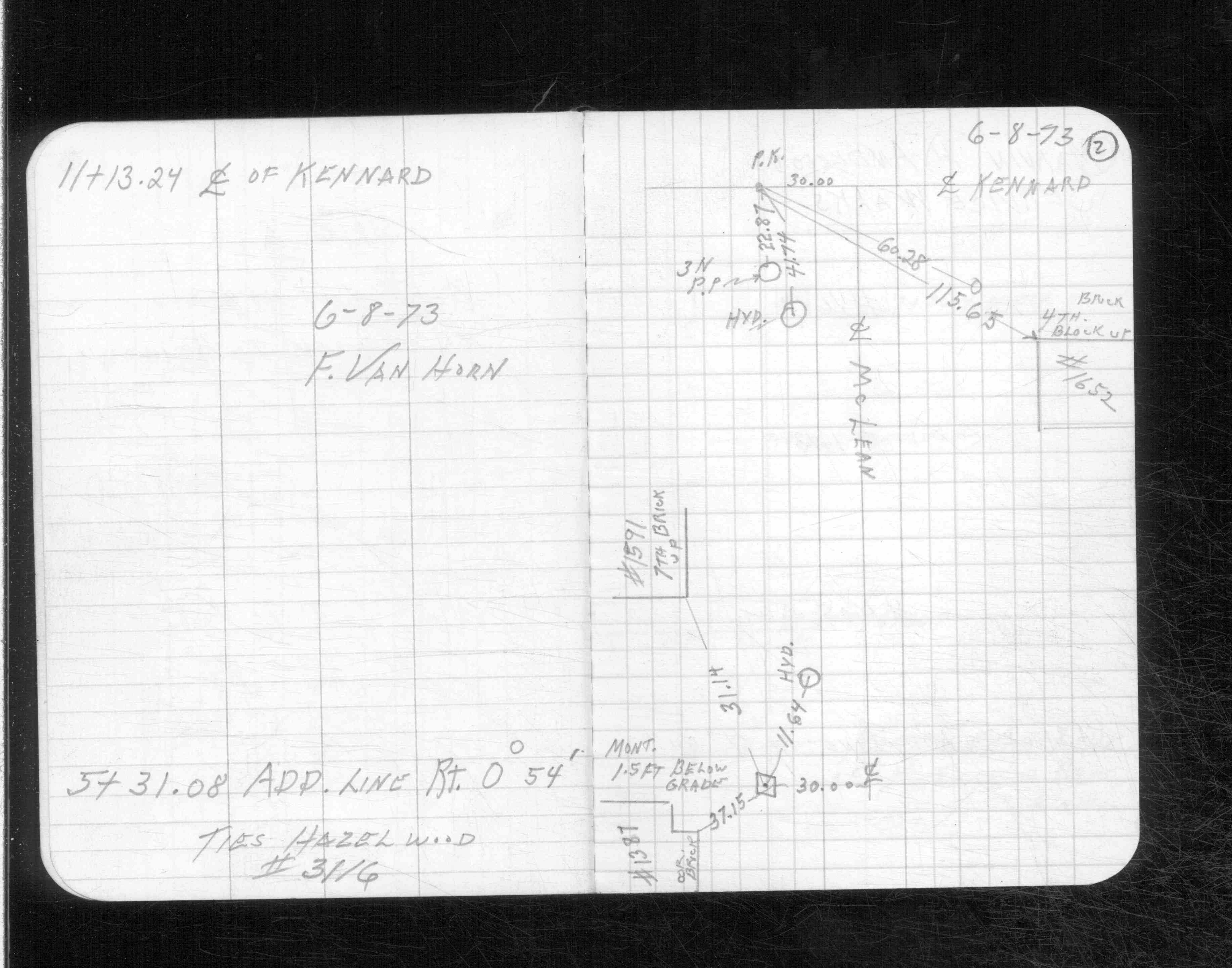
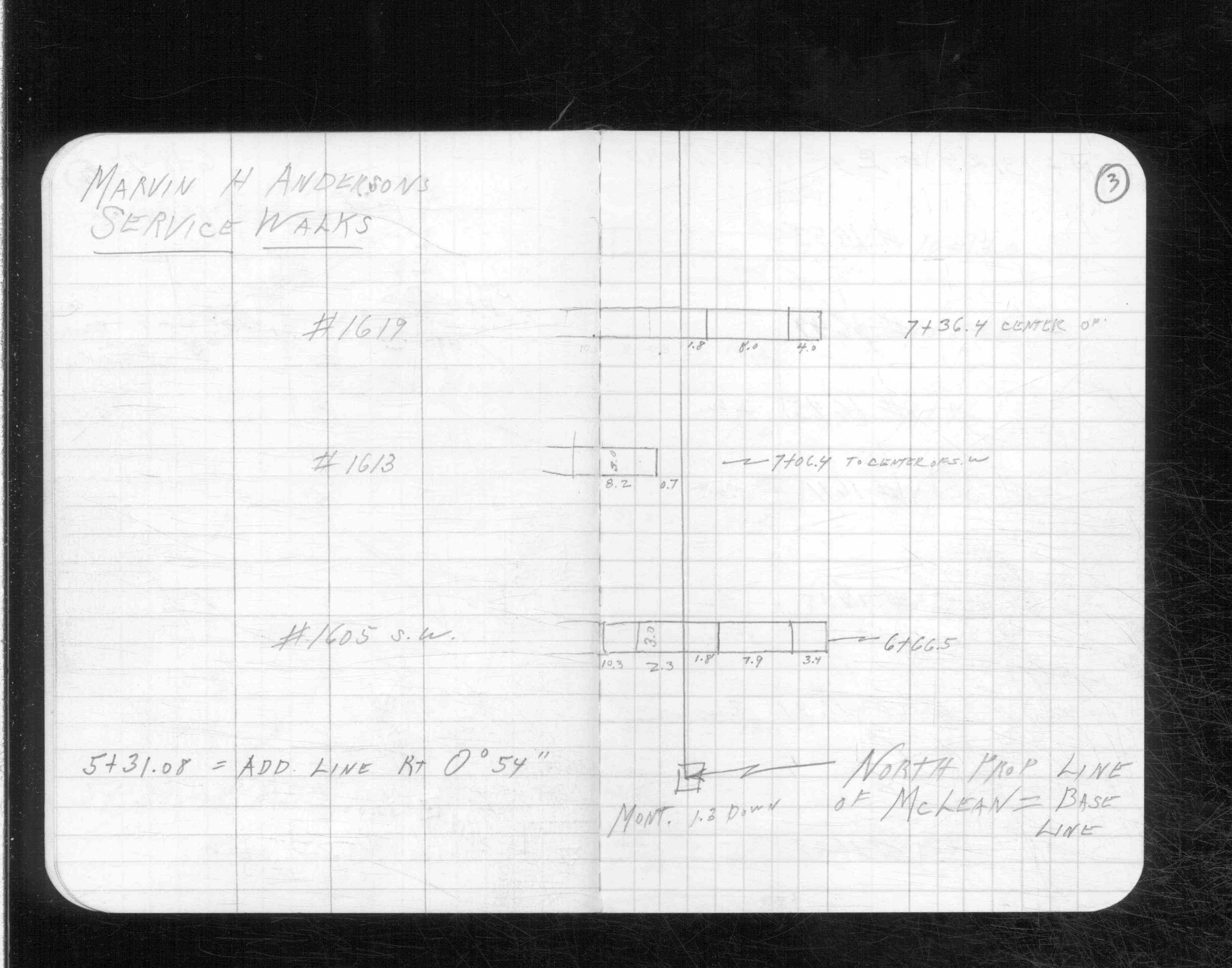
| 6/8/1973 | Placed ties on the monument. See CS 3116A p.2 |
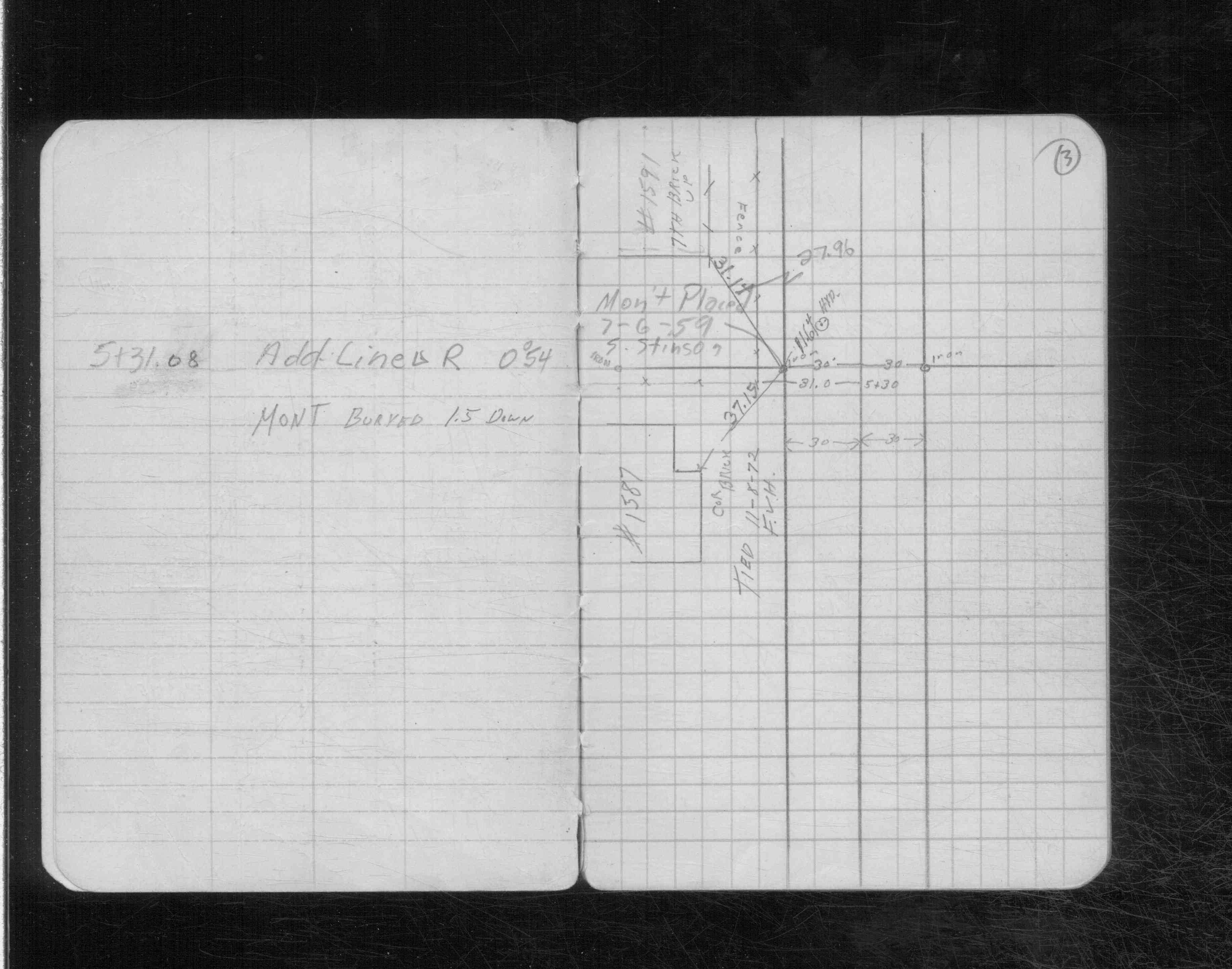
| 7/6/1959 | Placed the monument 1.5 ft below grade. See CS 3116 p.3 |
Above is NOT an all inclusive history of this point. Please review all the links below.
| PLS NOTES | Field | Cross Section | Sewer | J.B. Irvine | Monument | River Survey |
|---|---|---|---|---|---|---|
| CS 3116p.03 | ||||||
| CS 3116Ap. 02 ,03 |
| FILE | PHOTO DATE | COMMENTS |
|---|---|---|
| 6742-__qs-1.jpg | July 23, 2010 | Close-up of concrete mon. with pin at center. |