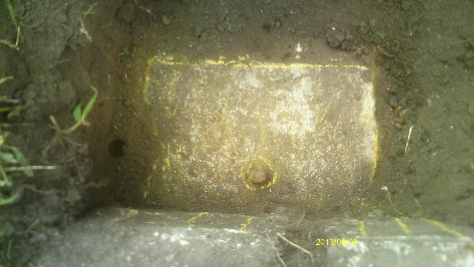
| 8/8/2013 | Found concrete monument 0.6 ft below sidewalk grade, metal piece in center hole. Photos taken. |
| 9/19/1923 | Monument located during a survey of Kennard St. |
Above is NOT an all inclusive history of this point. Please review all the links below.
| PLS NOTES | Field | Cross Section | Sewer | J.B. Irvine | Monument | River Survey |
|---|---|---|---|---|---|---|
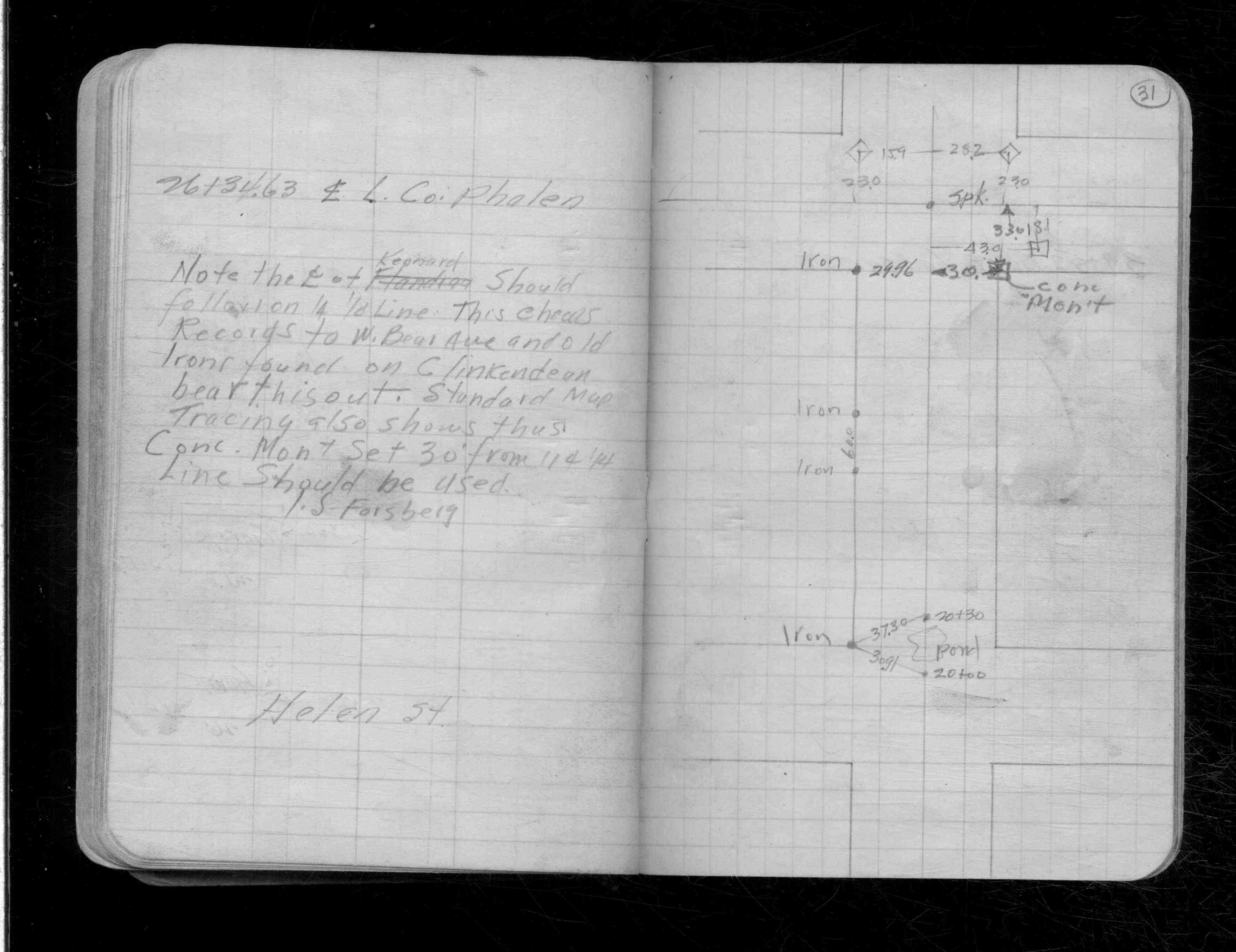
| CS 1999p.31 |
| FILE | PHOTO DATE | COMMENTS |
|---|---|---|
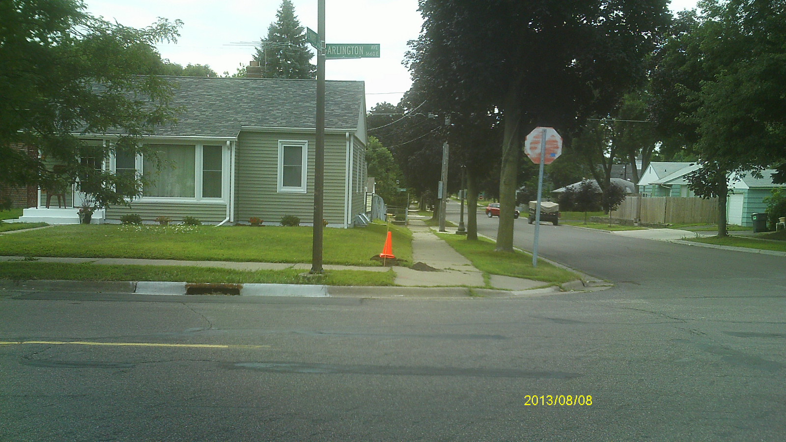
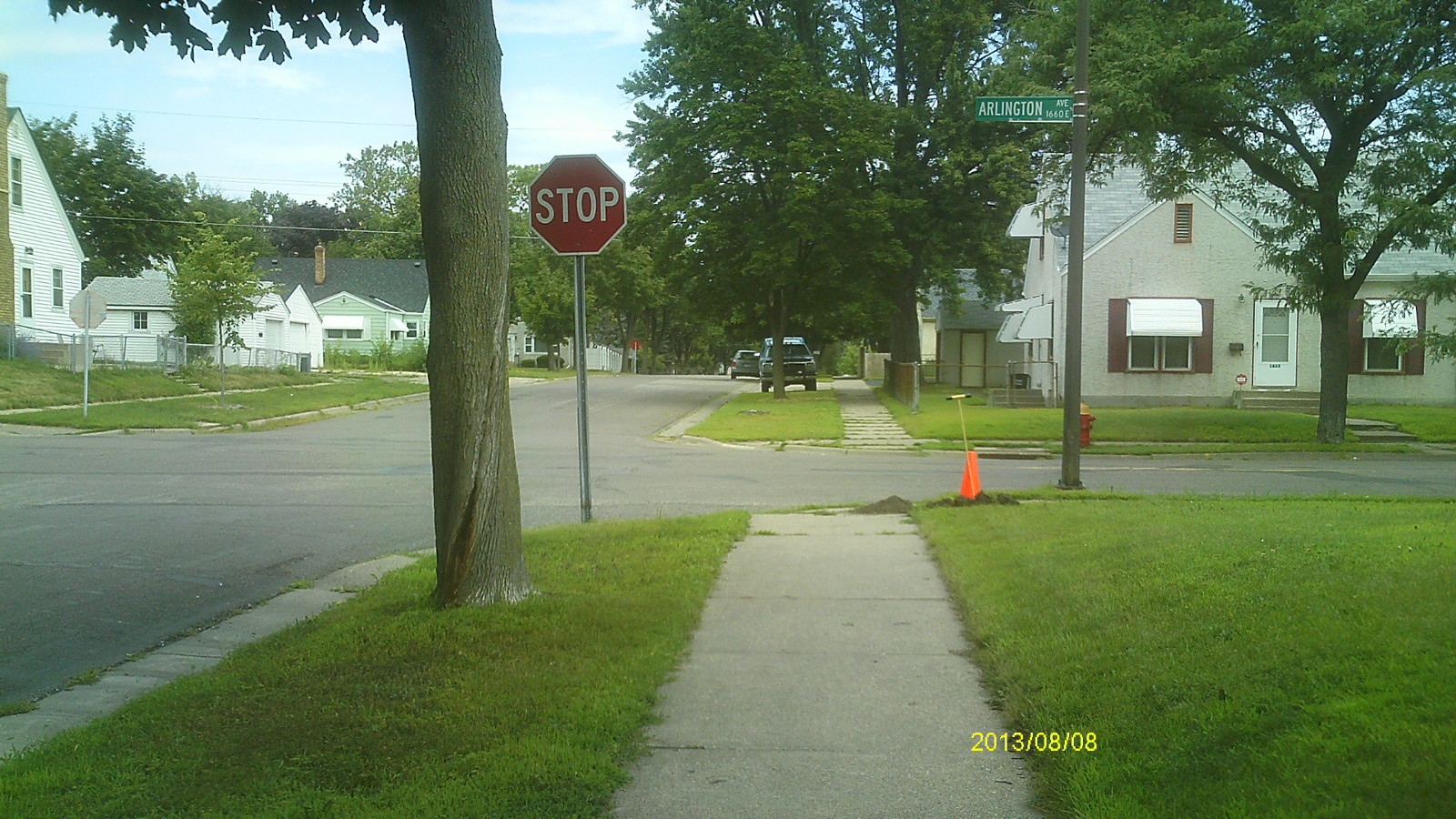
| 6759-__rj-6.jpg | August 8, 2013 | Looking west along Arlington Ave. |
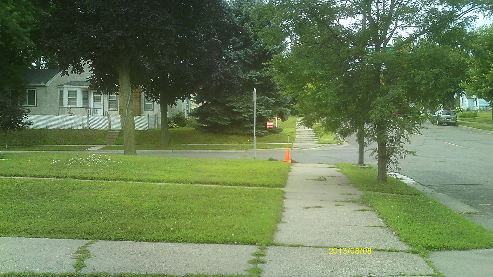
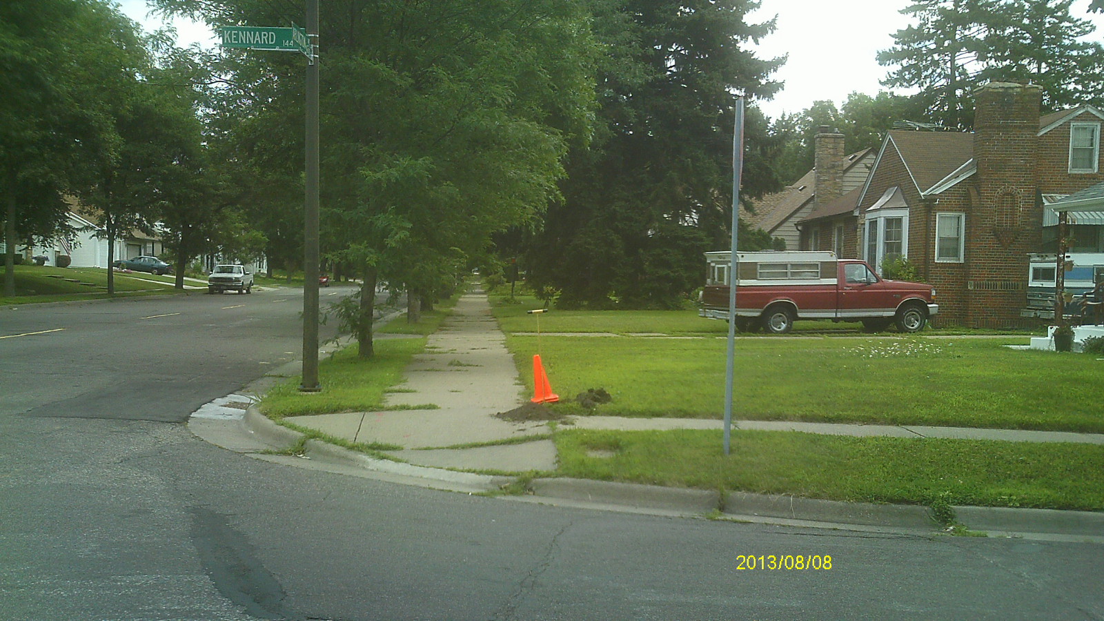
| 6759-__rj-5.jpg | August 8, 2013 | Looking south along Kennard St. |
| 6759-__rj-4.jpg | August 8, 2013 | Looking east along Arlington Ave. |
| 6759-__rj-3.jpg | August 8, 2013 | Looking north along Kennard St. |
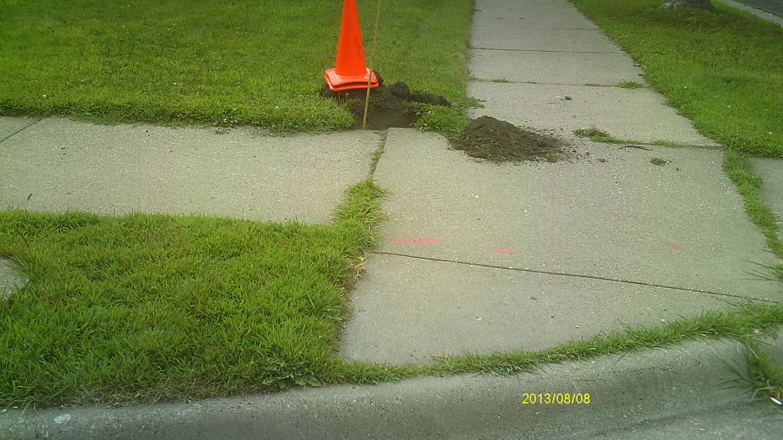
| 6759-__rj-2.jpg | August 8, 2013 | Close up of monument location. |
| 6759-__rj-1.jpg | August 8, 2013 | Close up of monument. |