STATION: 6779 Blk Cor NE Griggs St & Stanford Ave
OLD INDEX NUMBER(s): __se
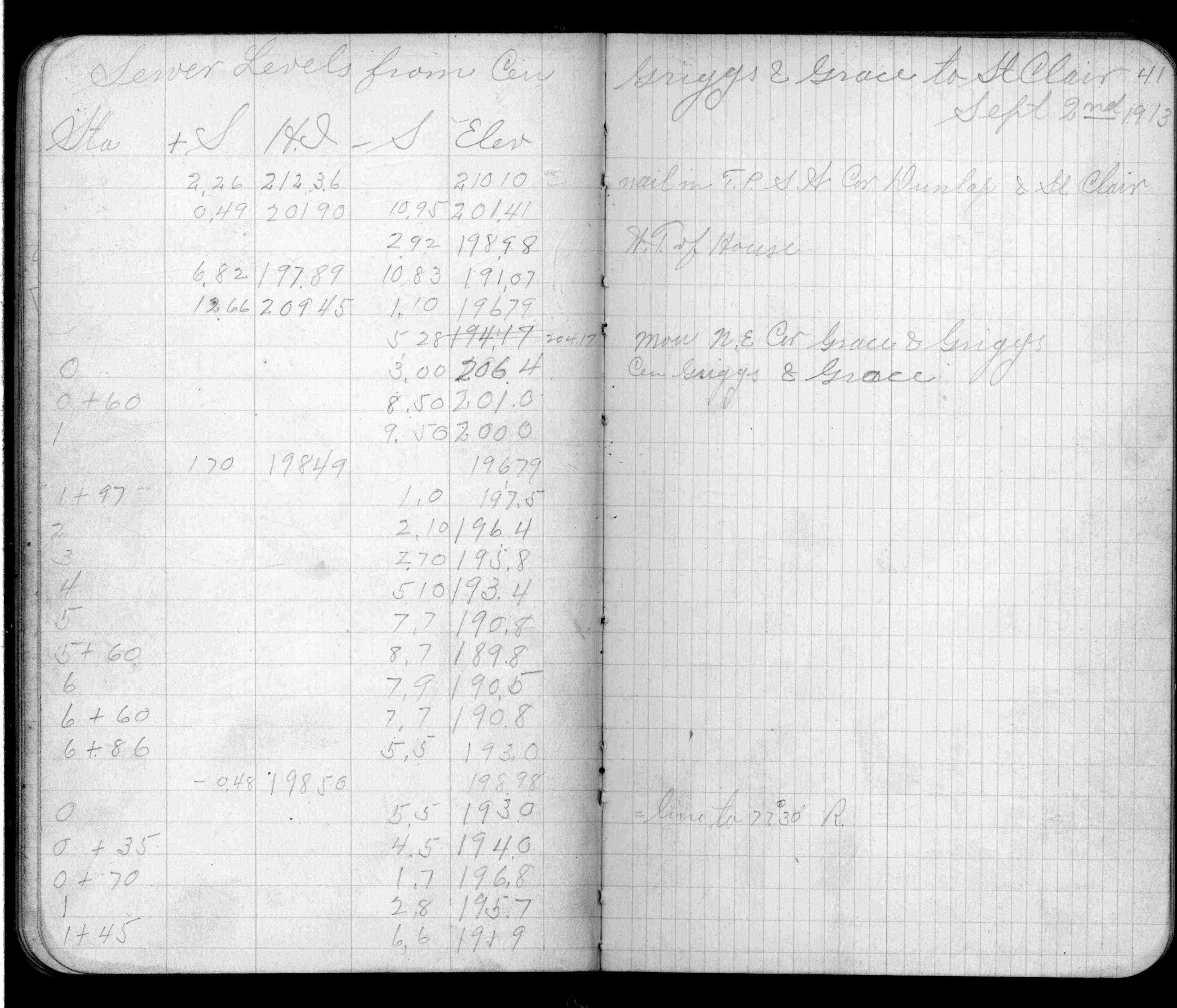
MAP: F09 NE 1/4 Sec 10 T28N R23W
GPS STATION:
DATE COMMENTS:
9/2/1913
Elev 204.17 ft. See FB 726 p.41
Above is NOT an all inclusive history of this point. Please review all the links below.
BOOKS
PLS NOTES
Field
Cross Section
Sewer
J.B. Irvine
Monument
River Survey
FB 0726p.41
Revised: September 02, 1913 Updated HTML File: March 02, 2015