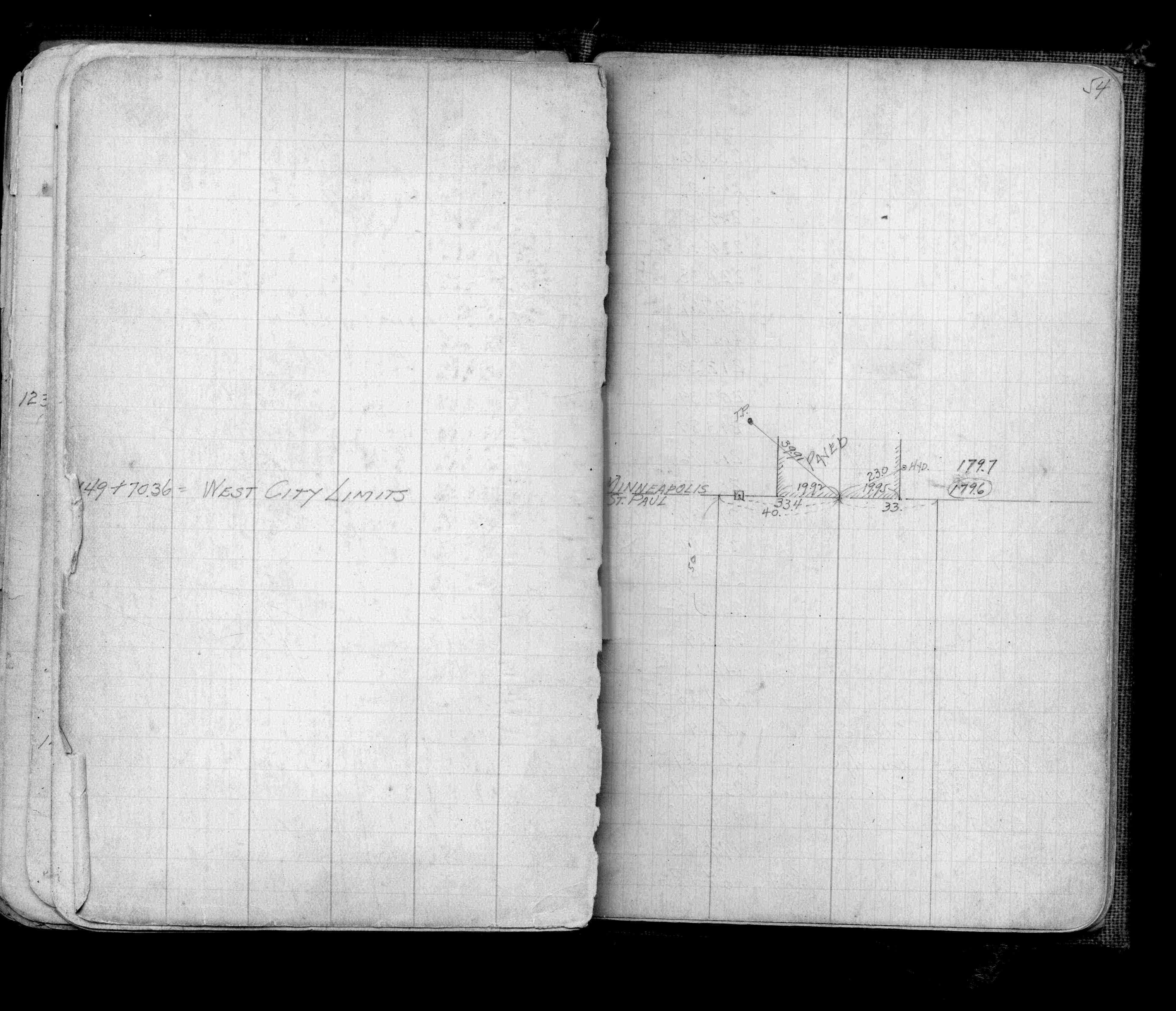
| 10/10/2013 | Probed 1.9 ft down to solid object that might be monument. Prevalence of rocks in ground made it difficult to ascertain. |
Above is NOT an all inclusive history of this point. Please review all the links below.
| PLS NOTES | Field | Cross Section | Sewer | J.B. Irvine | Monument | River Survey |
|---|---|---|---|---|---|---|
| FB 0921p.54 |