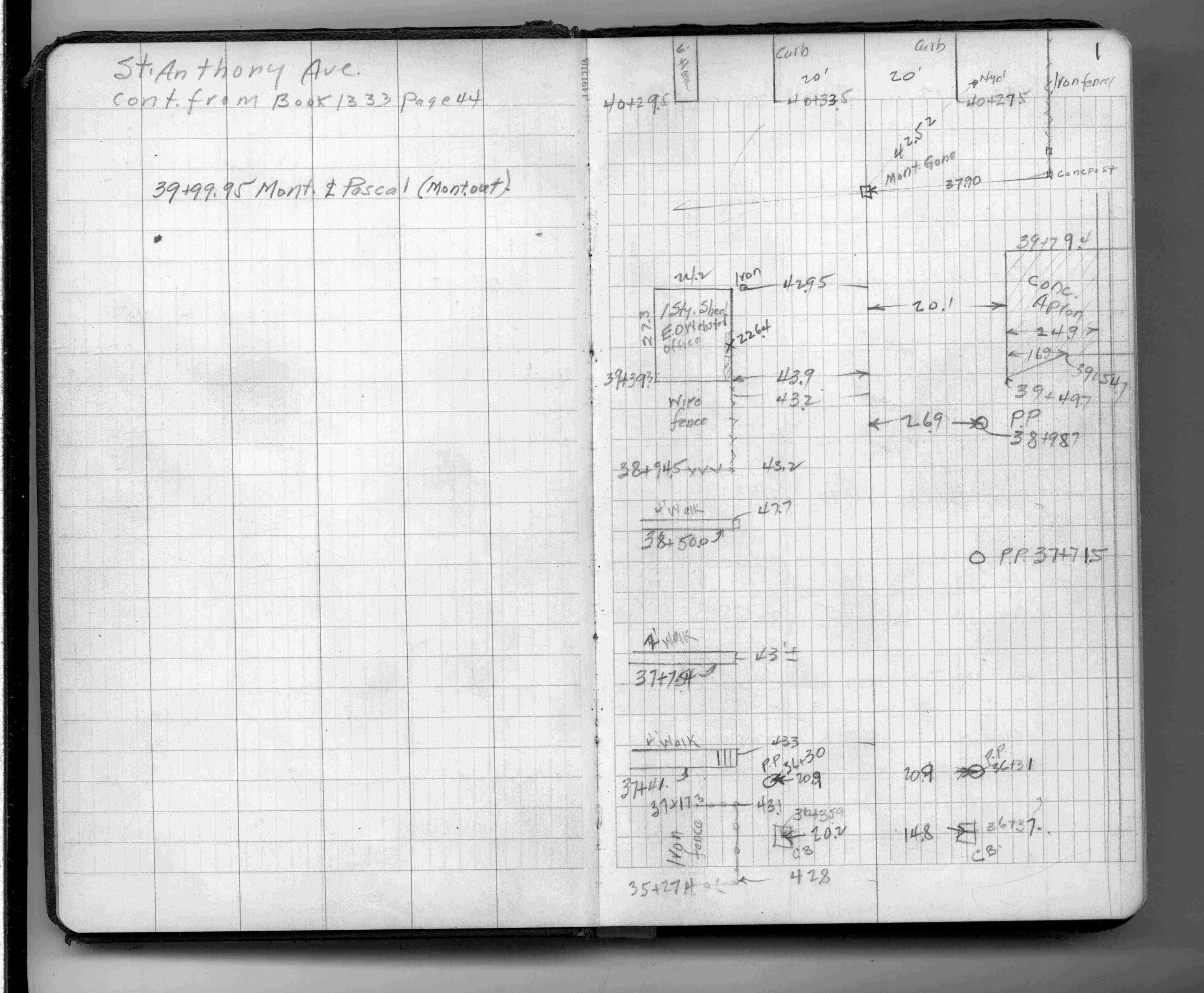
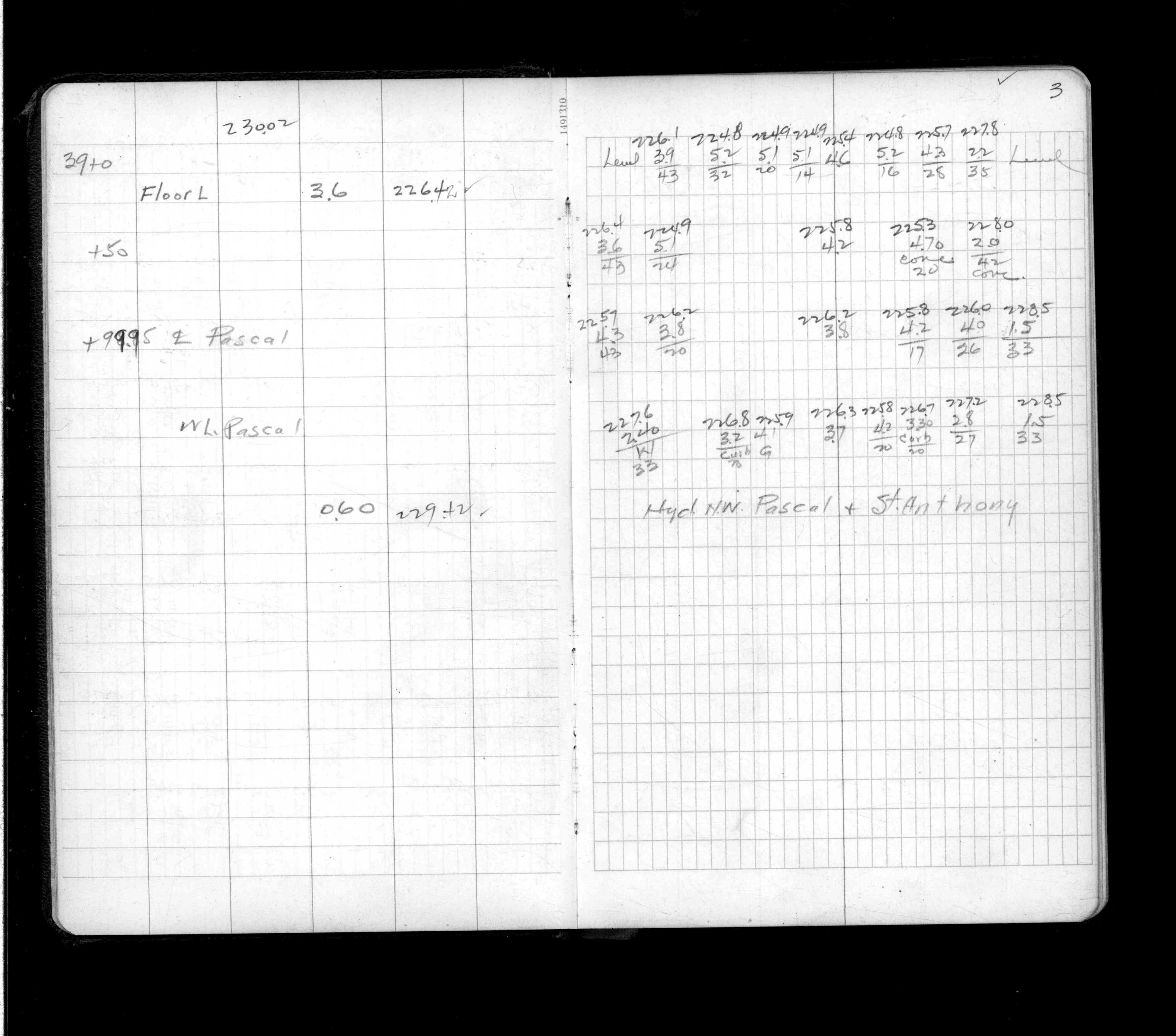
Page(s) 1-3
St Anthony Ave
FROM
Albert St
TO
Pascal St
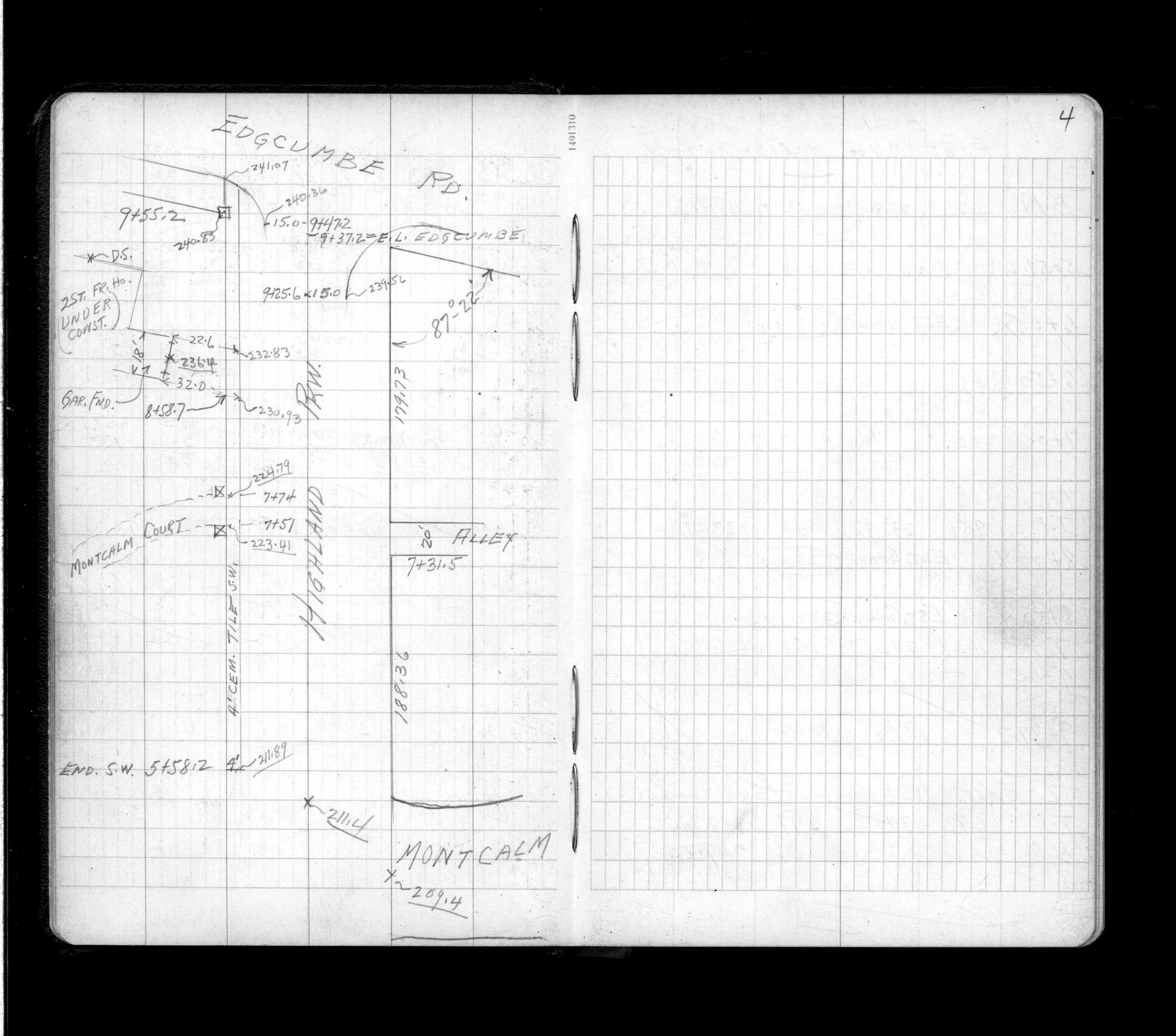
| Locations & X-Secs | 0000-00-00 Page(s) 4-5
Highland Pkwy
FROM
Edgcumbe Rd
TO
Montcalm Pl
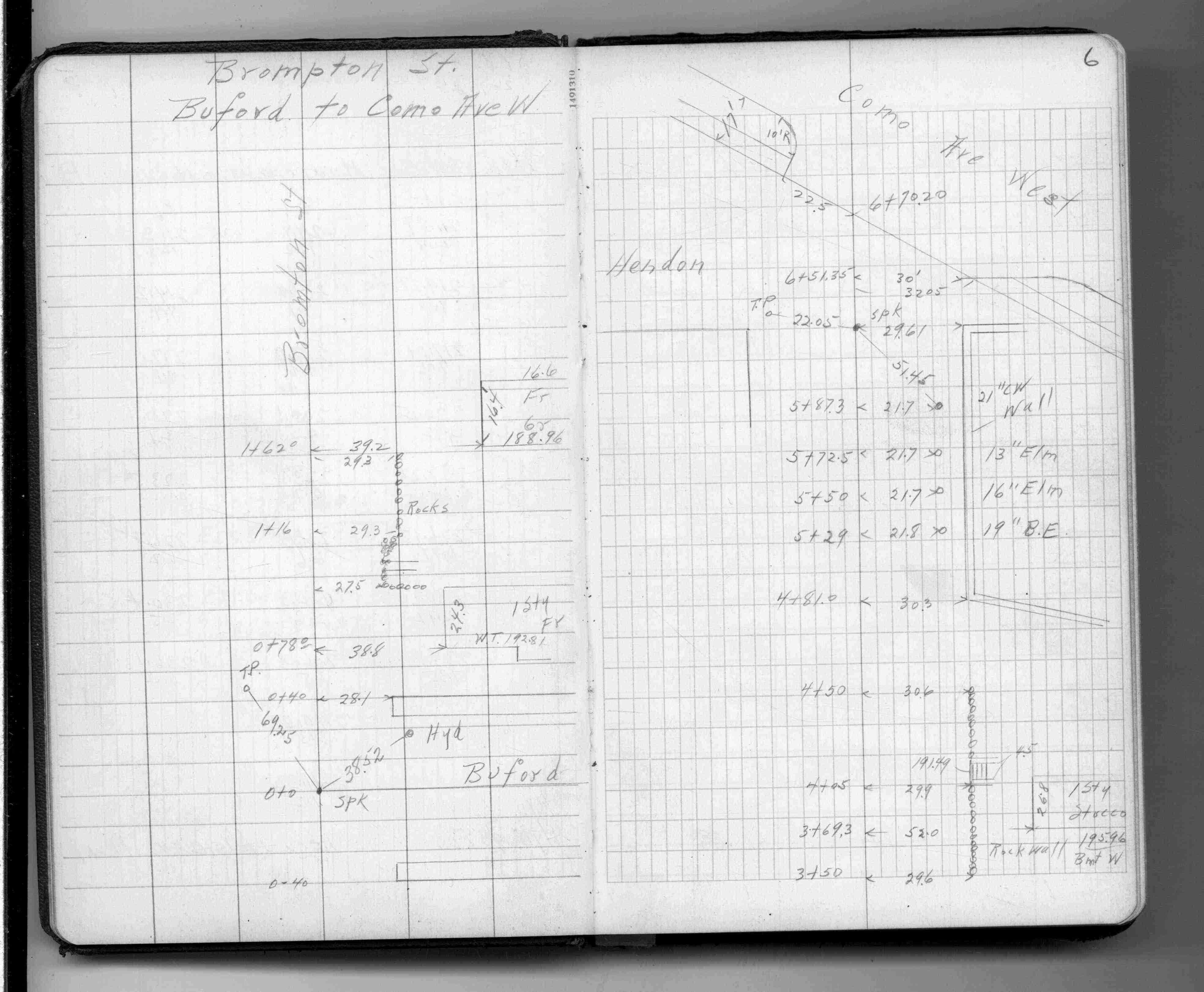
| Locations & X-Secs | 1940-02-09 Page(s) 6-8
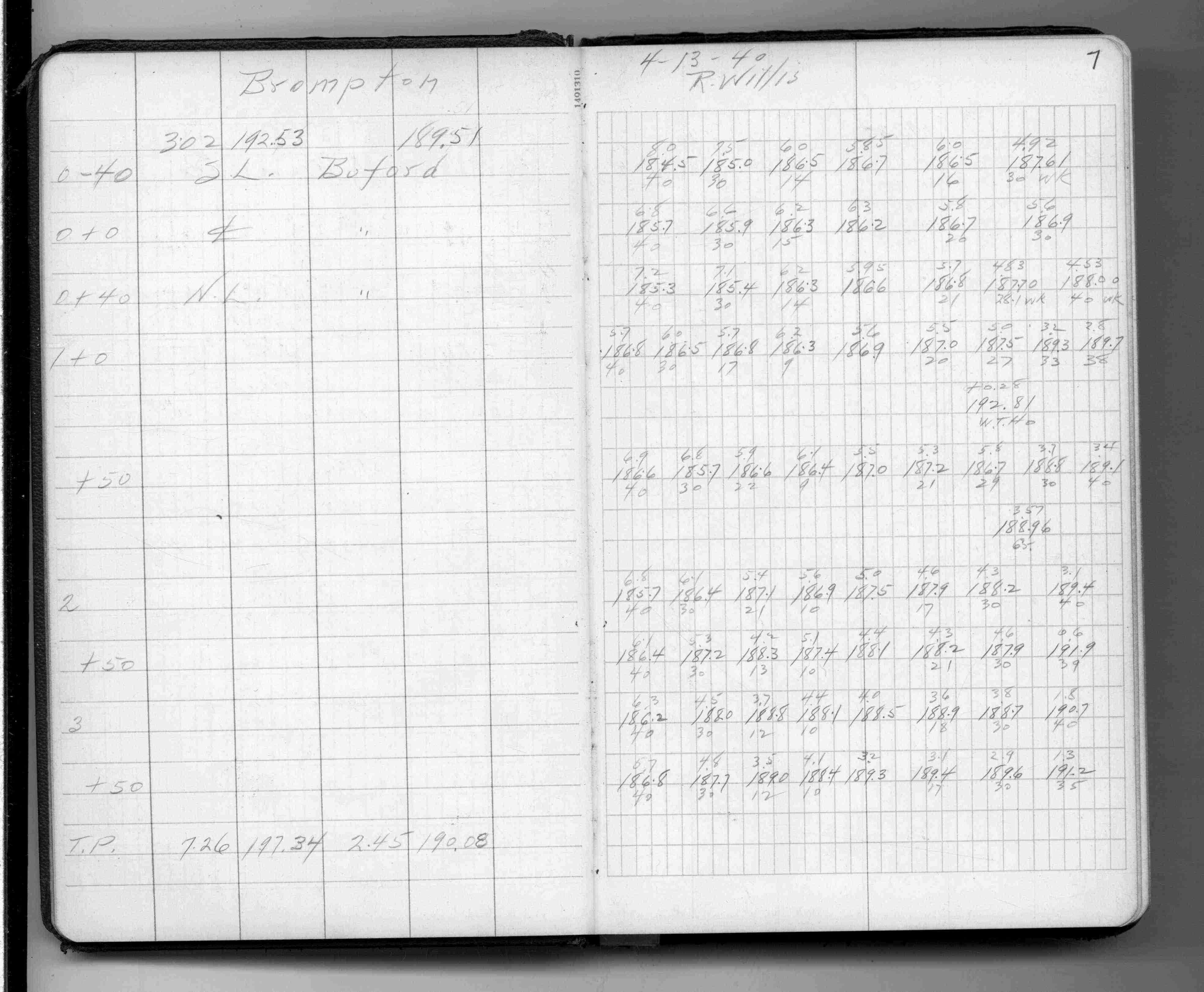
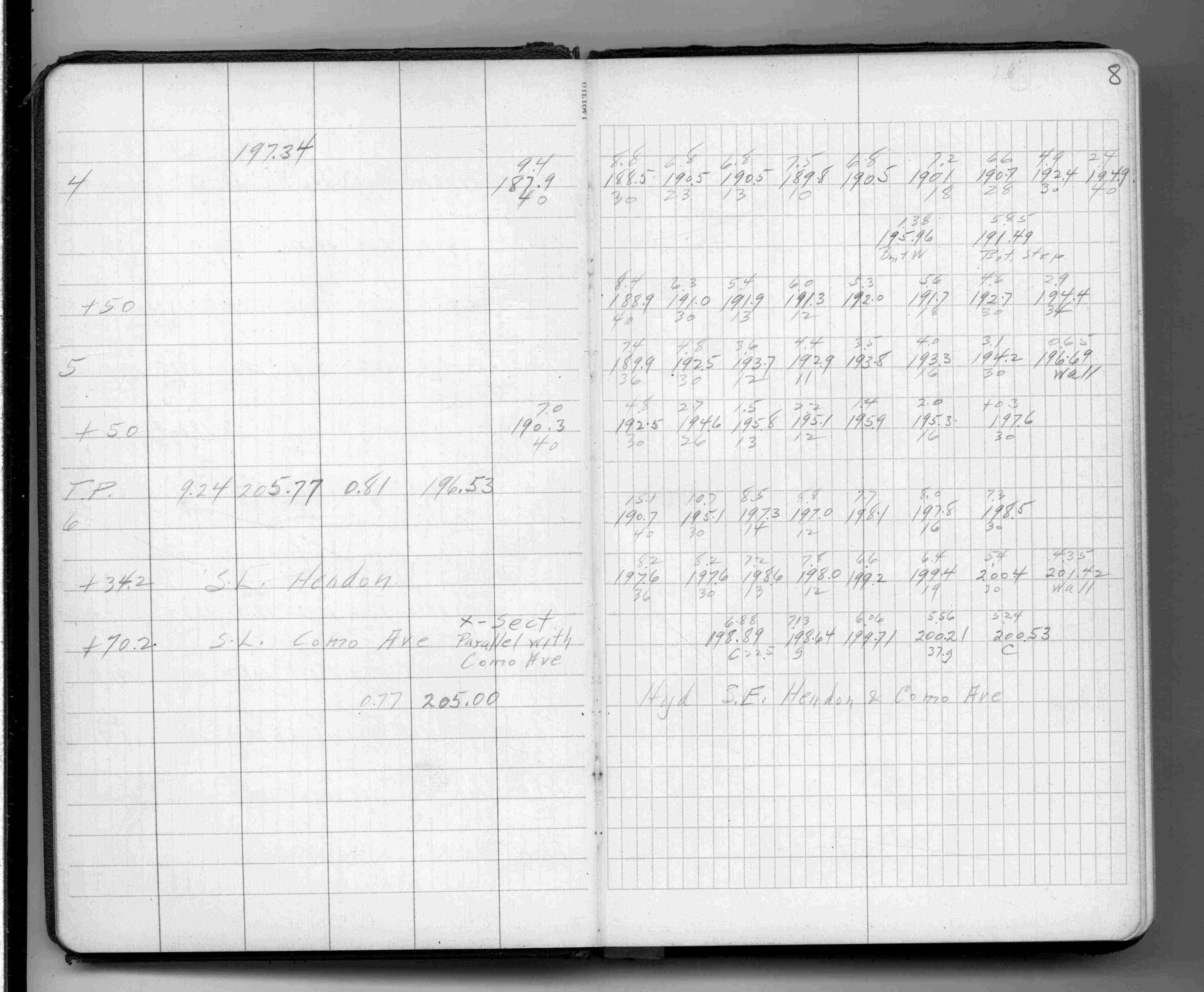
Brompton St
FROM
Buford Ave
TO
Como Ave W
| Locations & X-Secs | 1940-04-13 Page(s) 9-11
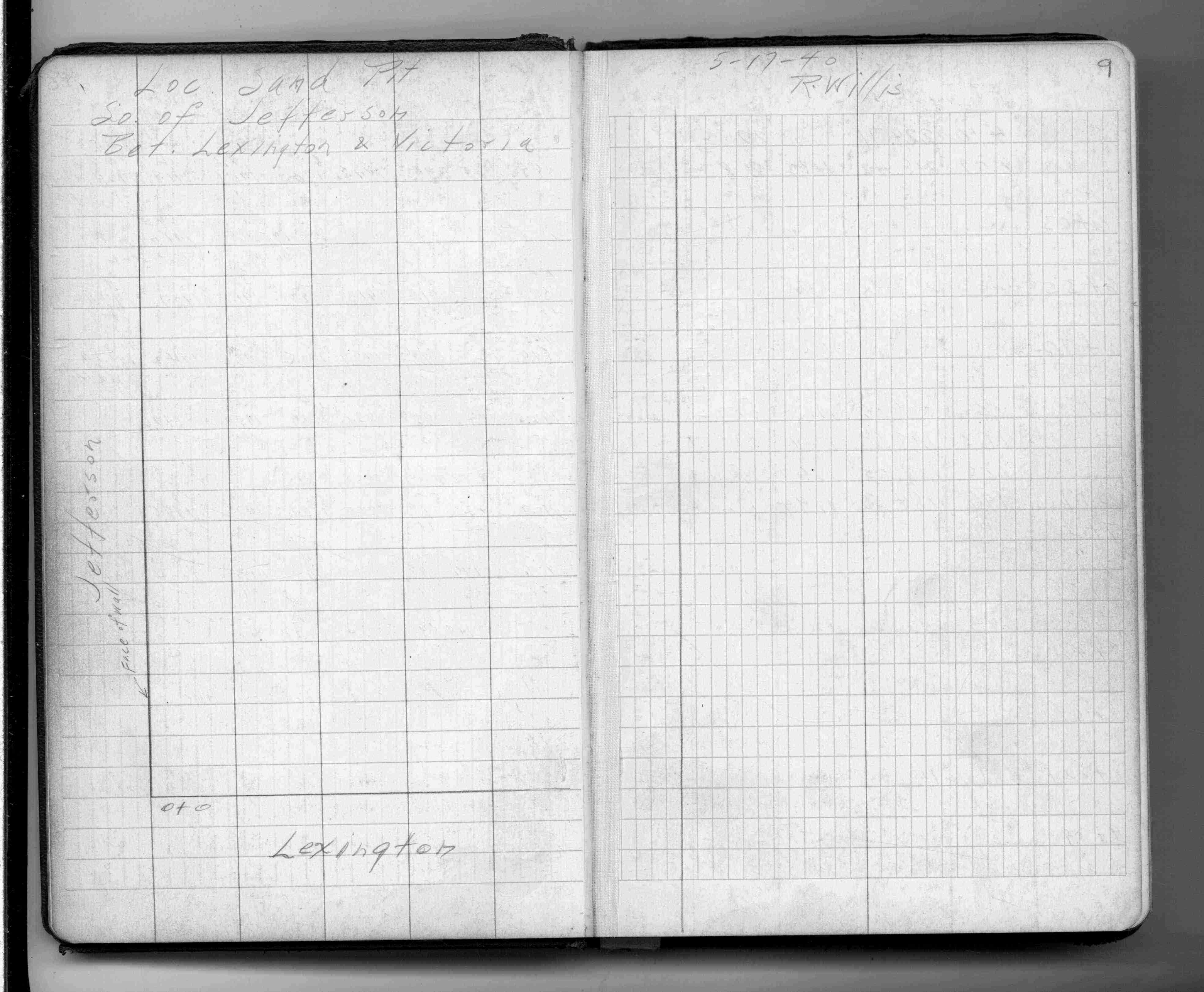
Sand Pit south of Jefferson Ave
FROM
Lexington Pkwy
TO
Victoria St
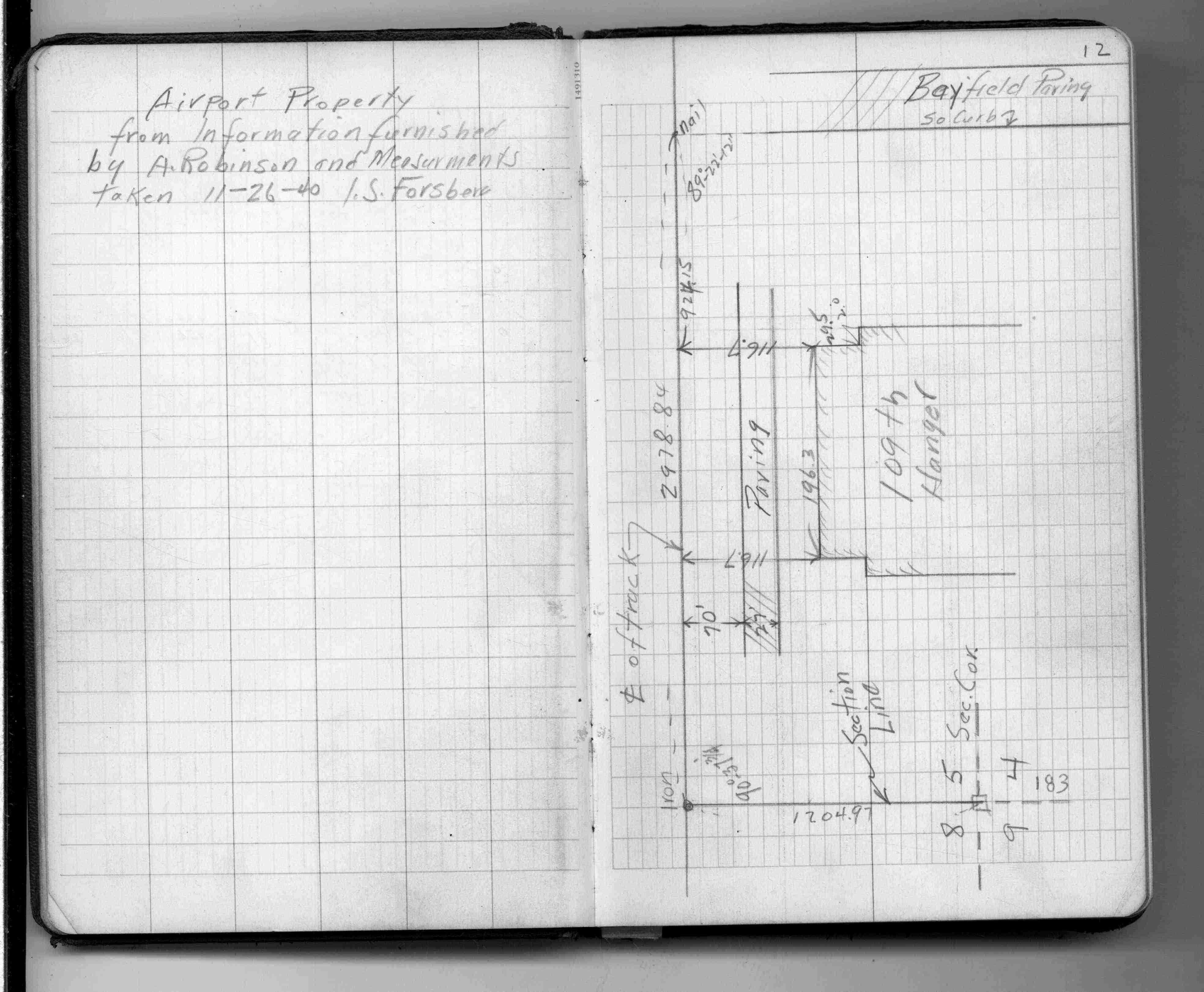
| Pit Loc & X-Secs | 1940-05-17 Page(s) 12
Airport
FROM
Section Line
TO
Bayfield St (Private)
| Locations | 1940-11-26 Page(s) 14-23
Airport Road
FROM
Fillmore Ave & State St
TO
Near Holman Memorial
| Locations & X-Secs | 1941-03-04 Page(s) 24-27
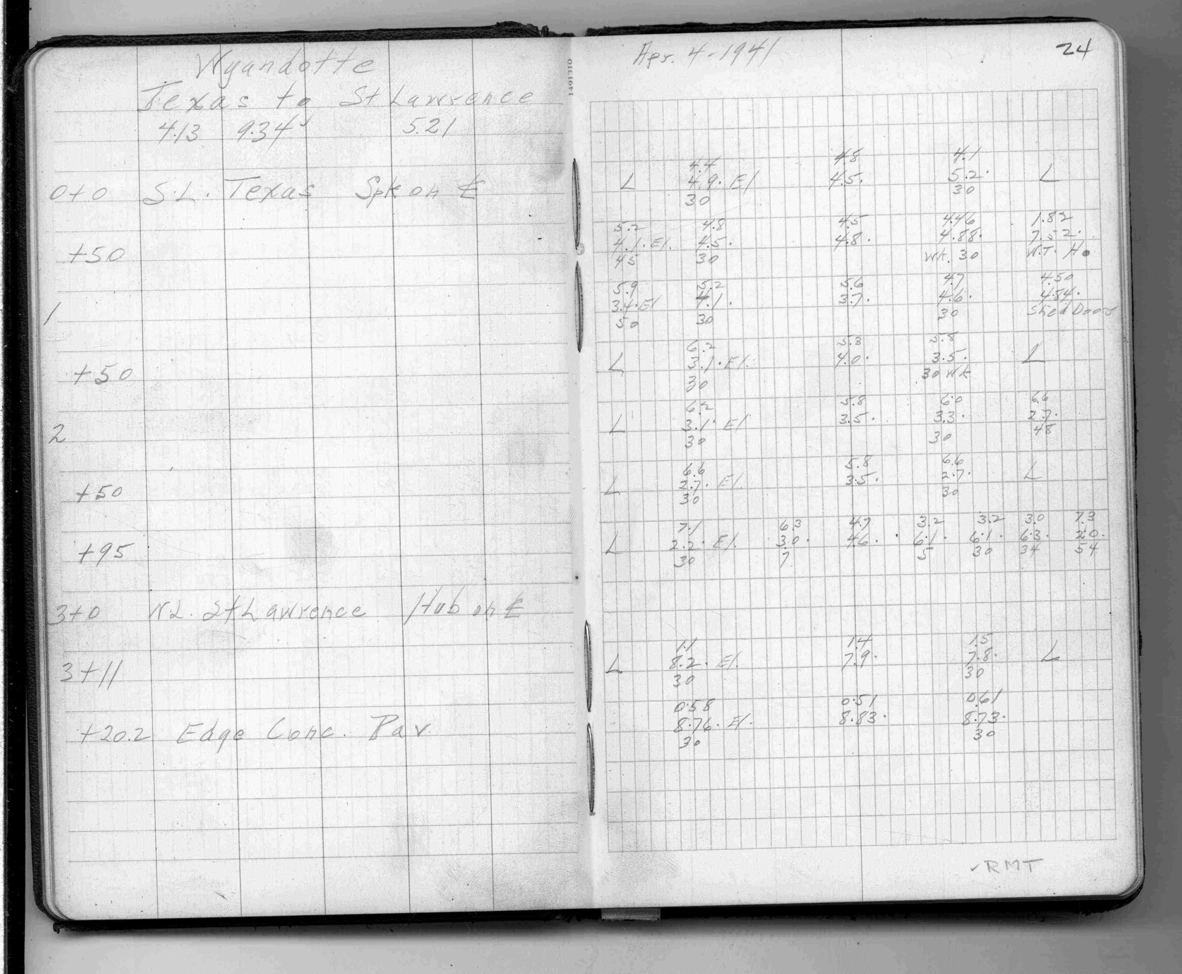
Wyandotte St (Vacated)
FROM
Texas St (Vacated)
TO
St Lawrence (Vacated)
| Cross Sections | 1941-04-04 Page(s) 28-29
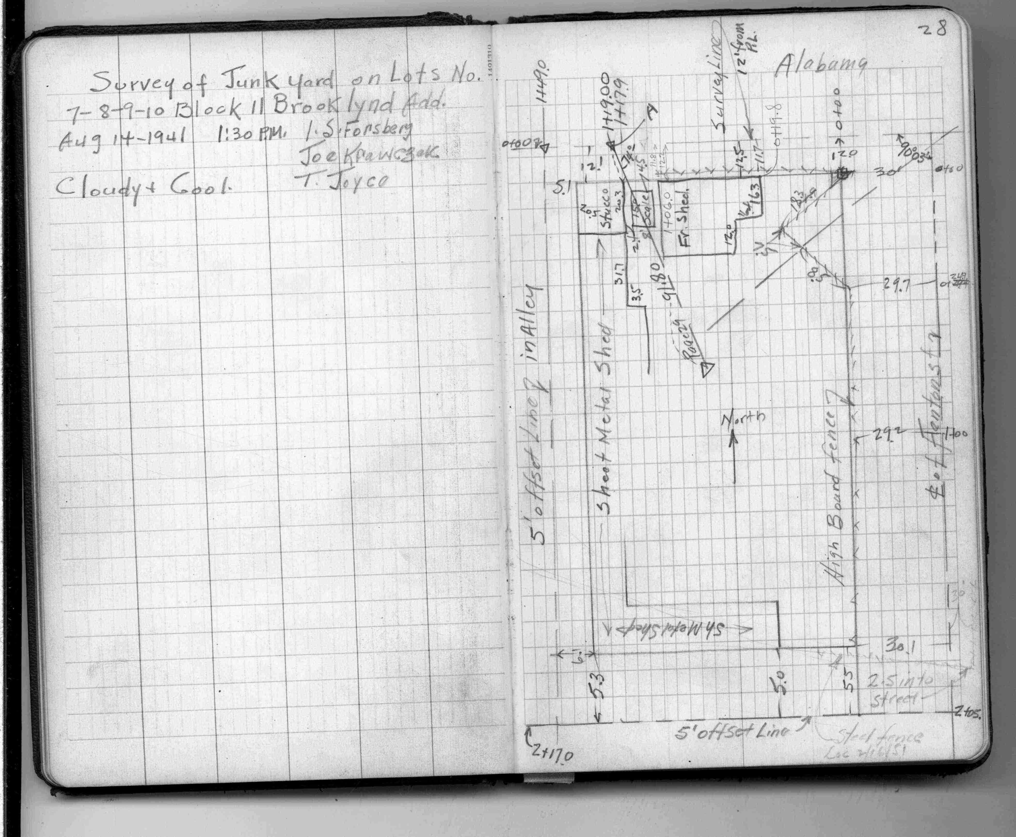
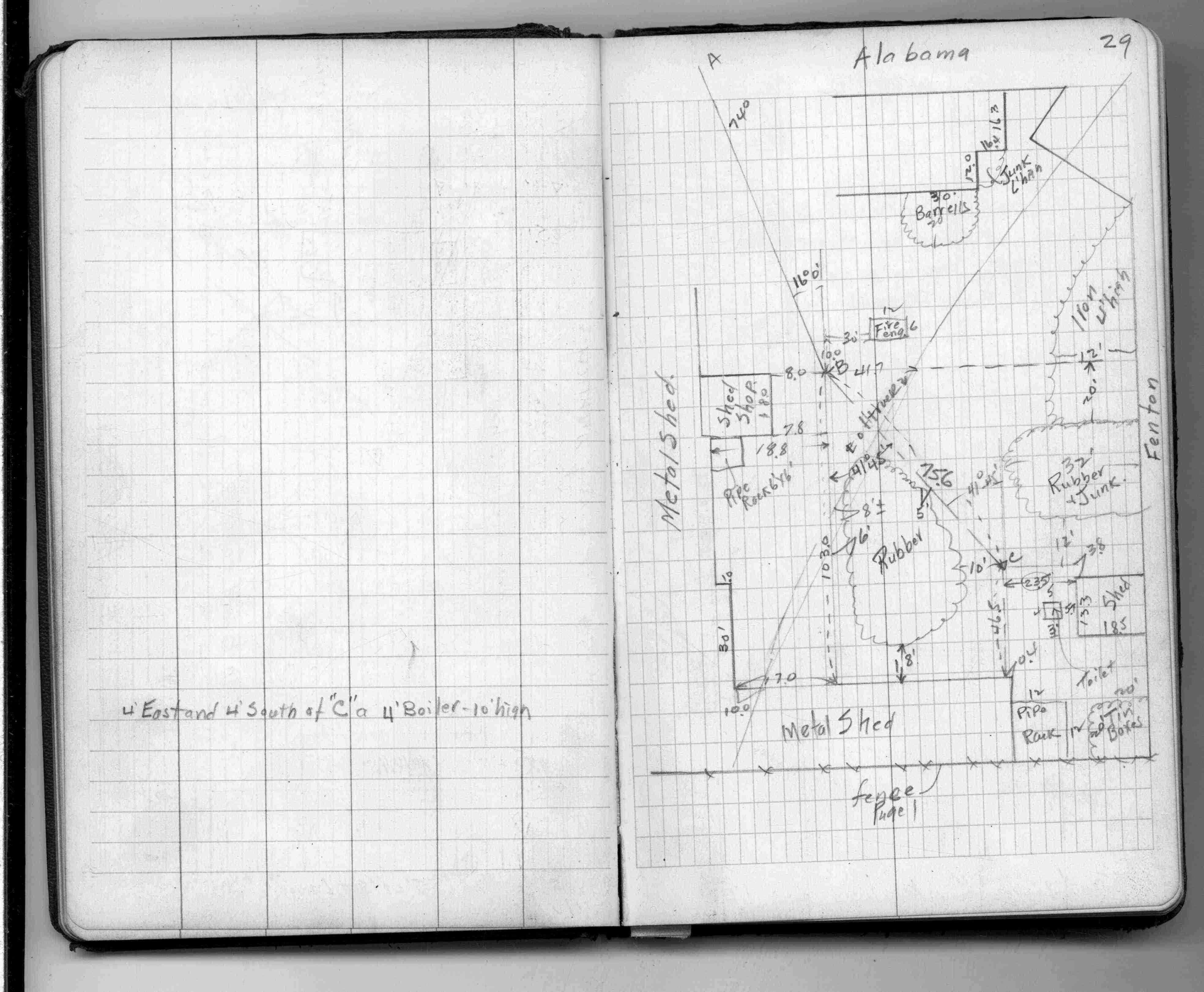
L7-10 B11 Brooklynd Add bounded by Alabama St & Fenton St (Vacated) & 2 5 Ft Offset Lines
| Location of Junk Yard | 1941-08-14 Page(s) 30
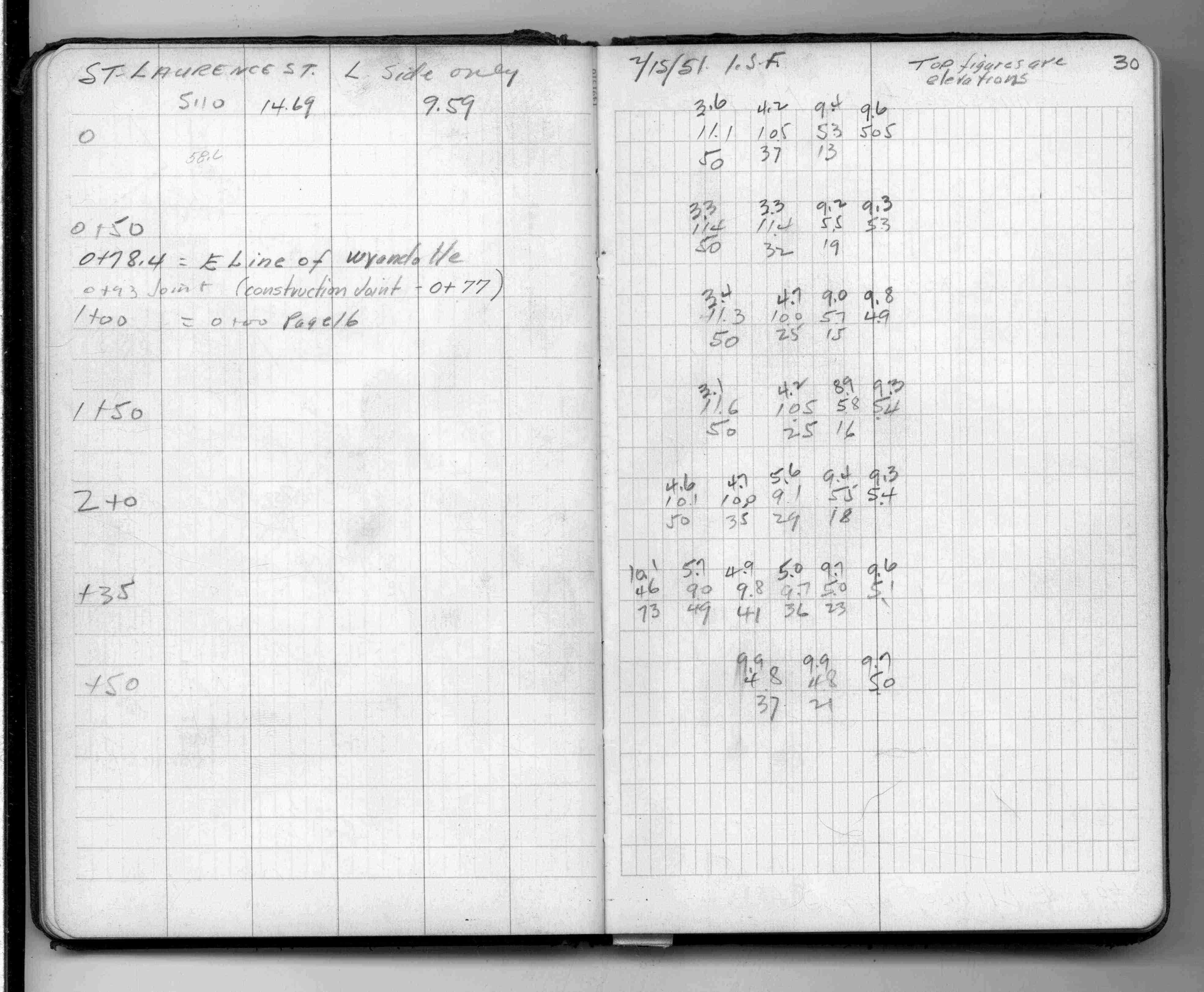
St Lawrence St (Vacated)
FROM
Wyandotte St (Vacated)
TO
Station 2+50
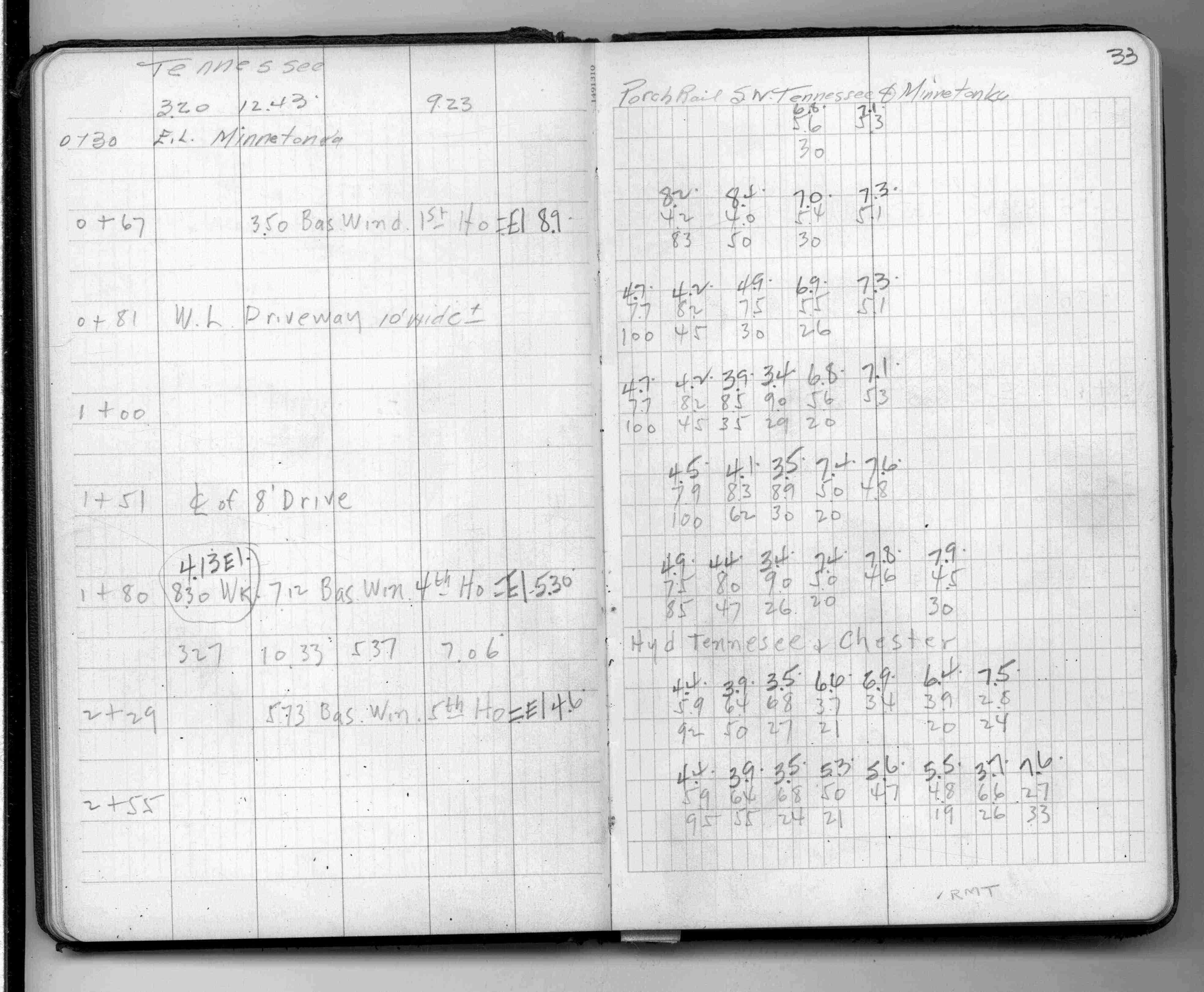
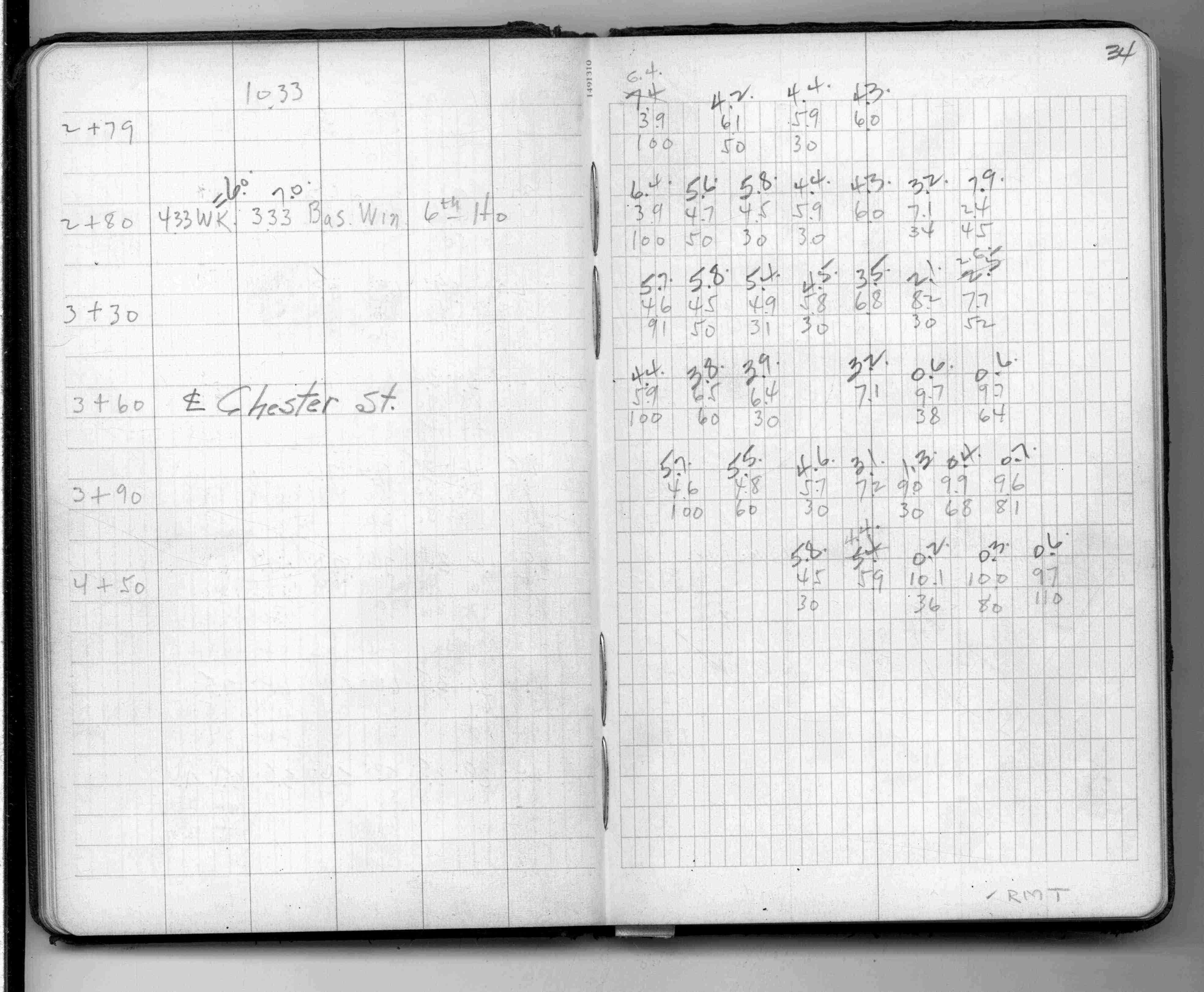
| Cross Sections | 1951-02-15 Page(s) 31-34
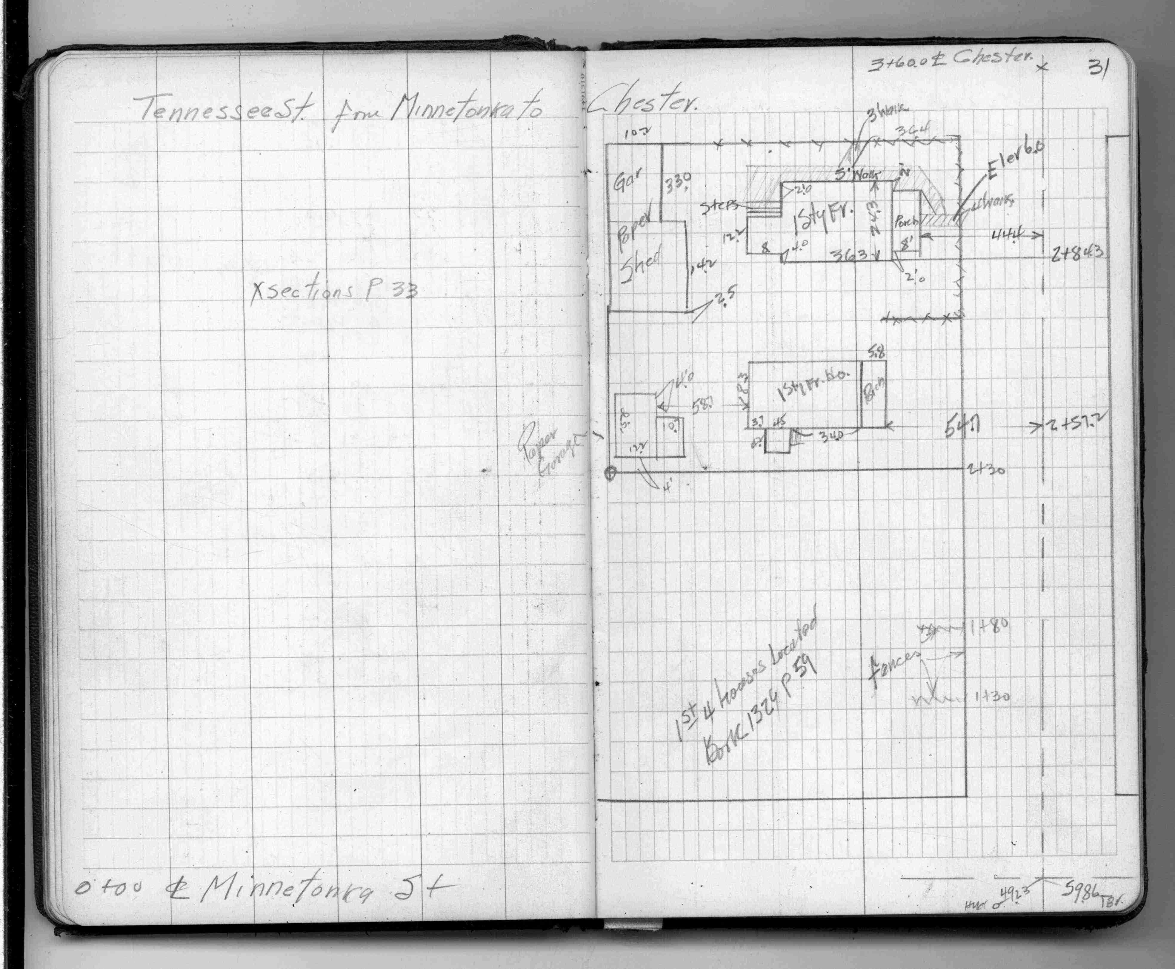
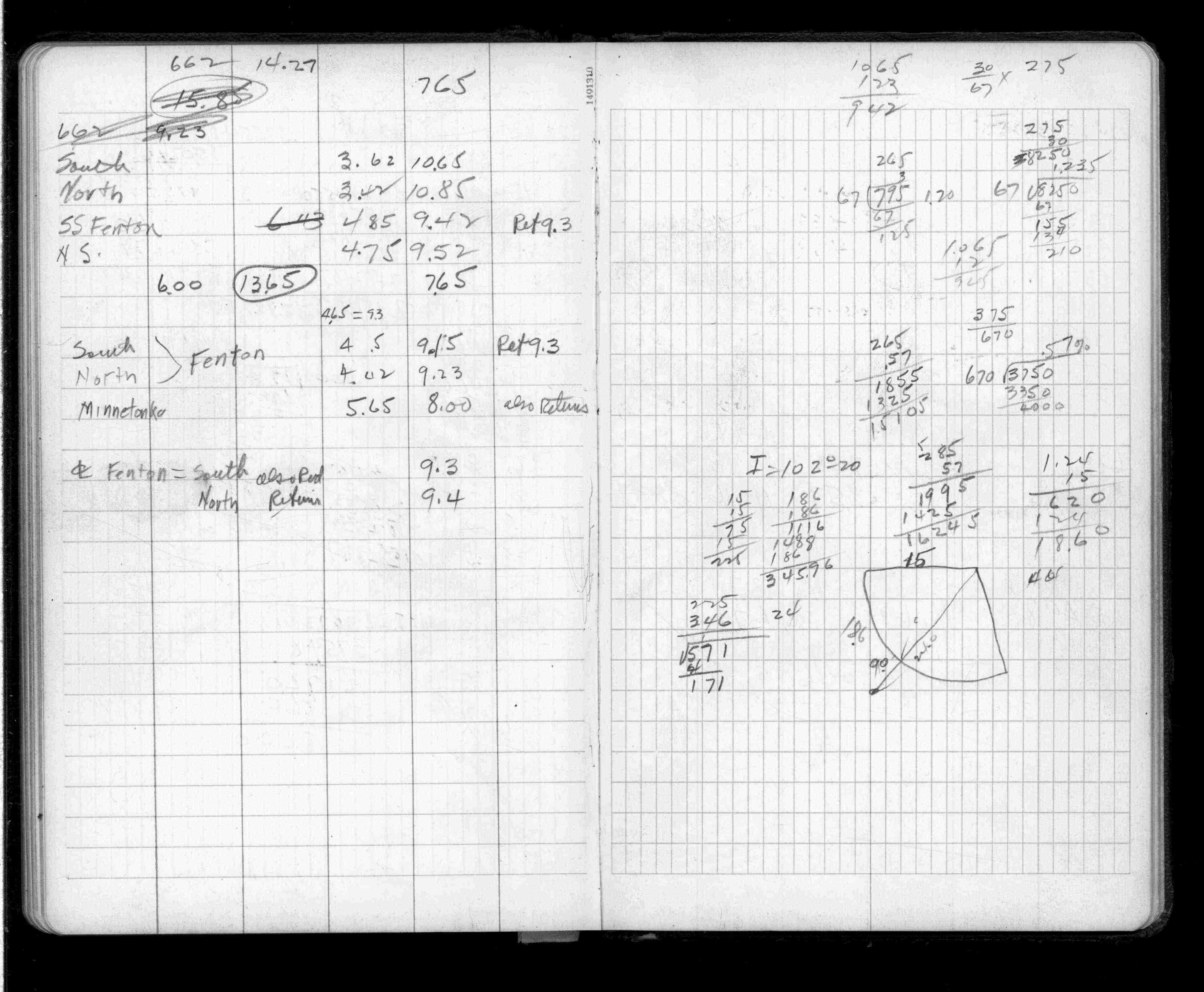
Tennesee St (Vacated)
FROM
Minnetonka St (Vacted)
TO
Chester St (Vacated)
| Locations & X-Secs | 0000-00-00 Page(s) 35
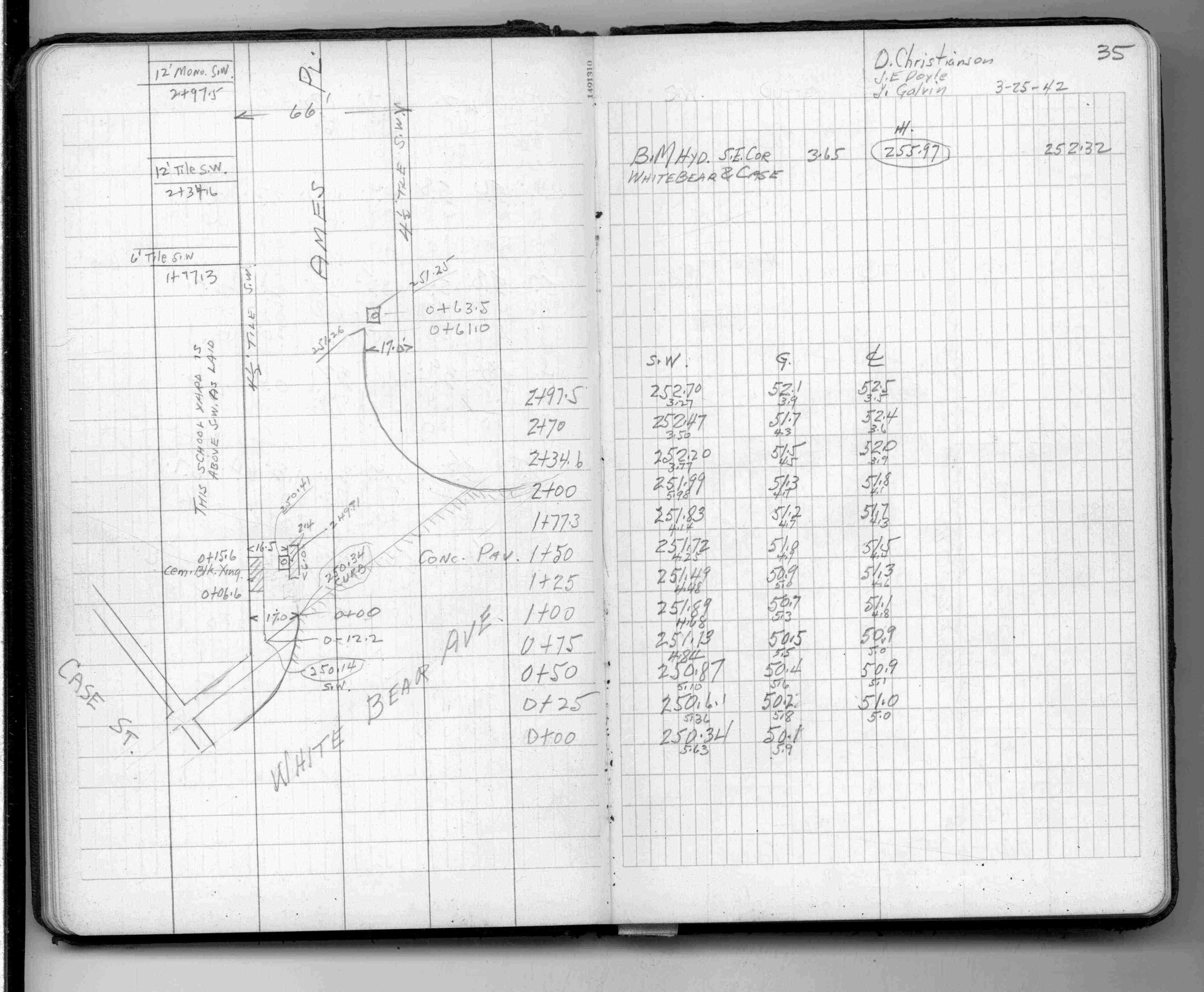
Ames Pl
FROM
White Bear Ave
TO
300 Ft NW
| Locations & X-Secs | 1942-03-25 Page(s) 36
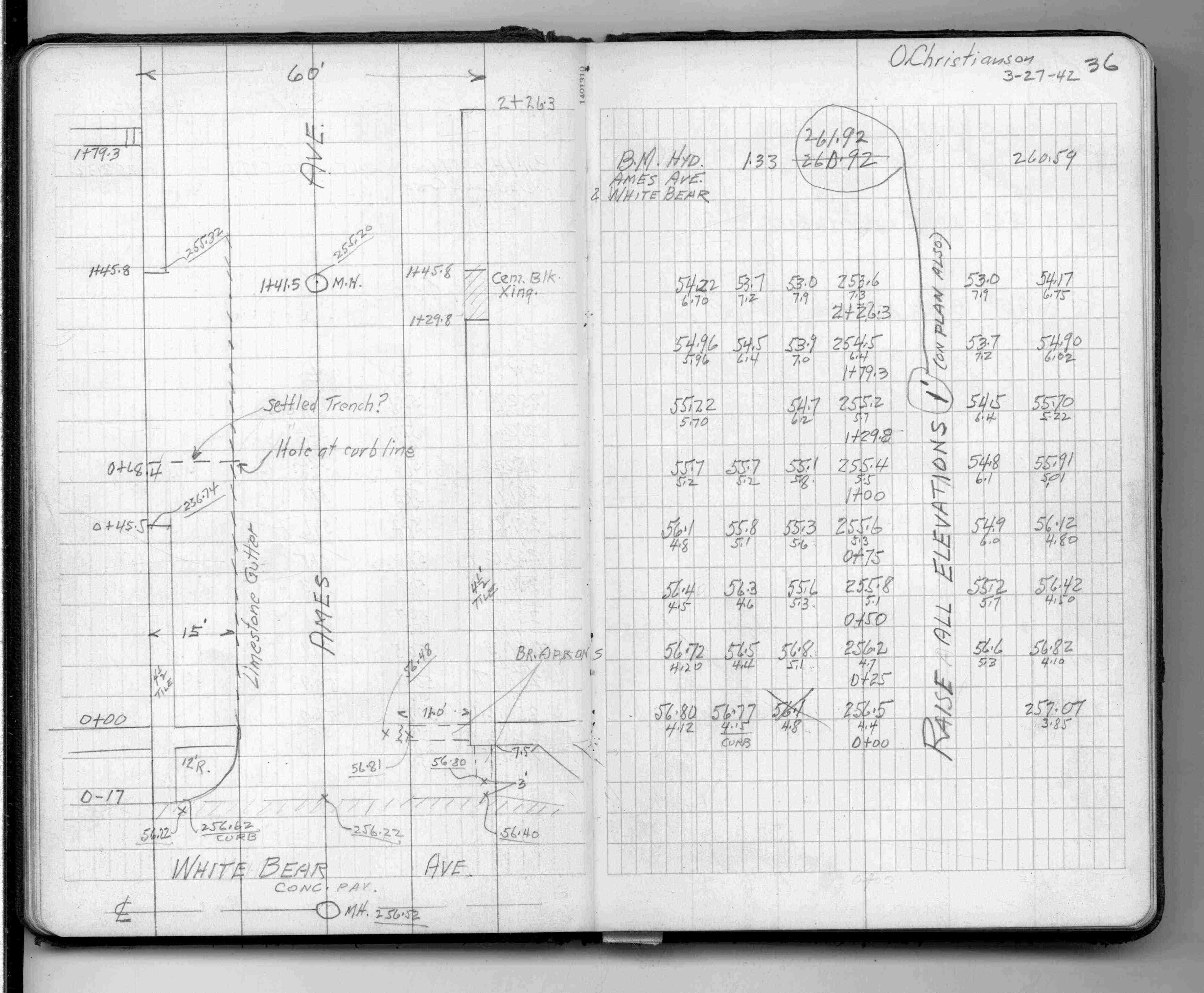
Ames Ave
FROM
White Bear Ave
TO
227 Ft West
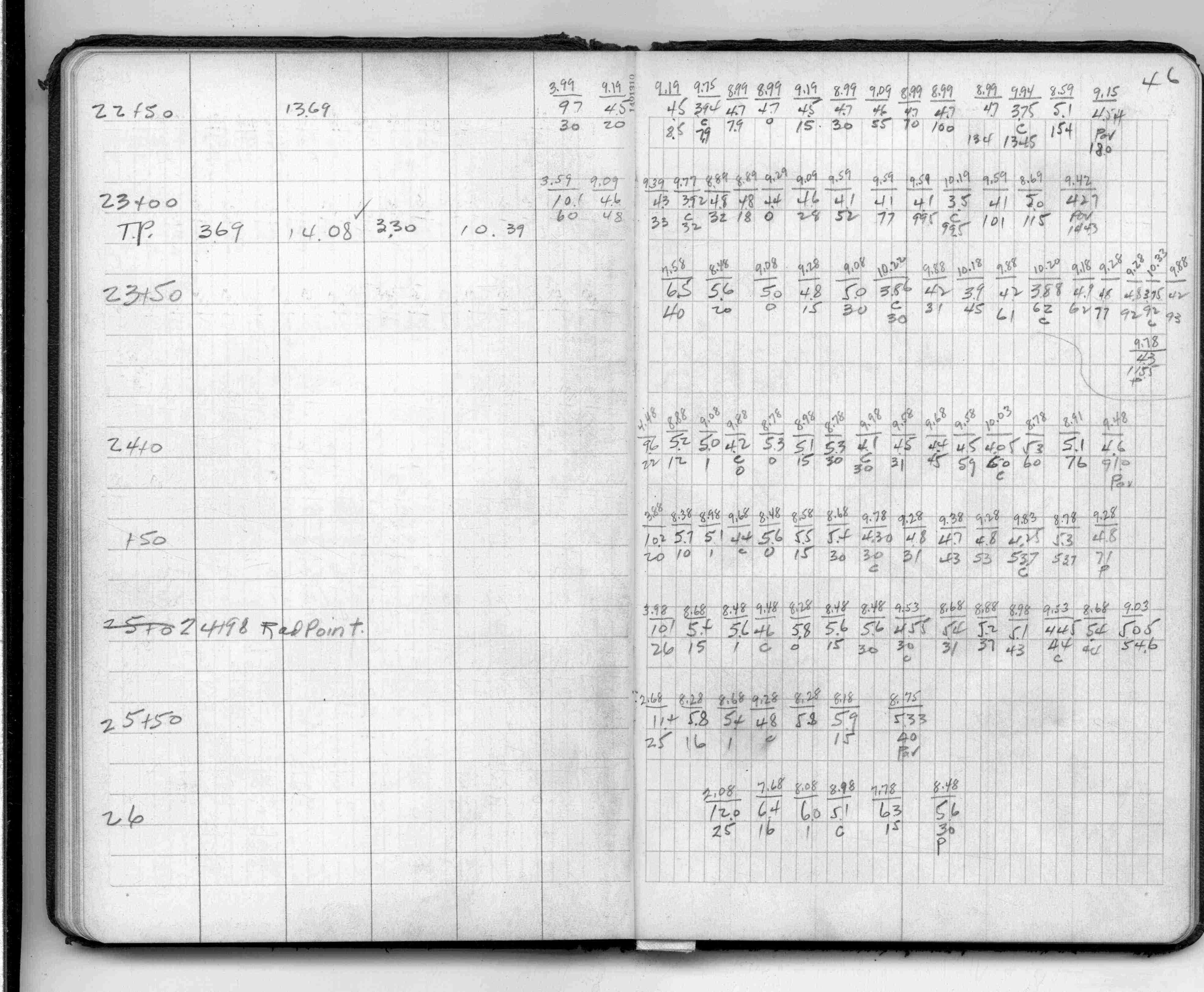
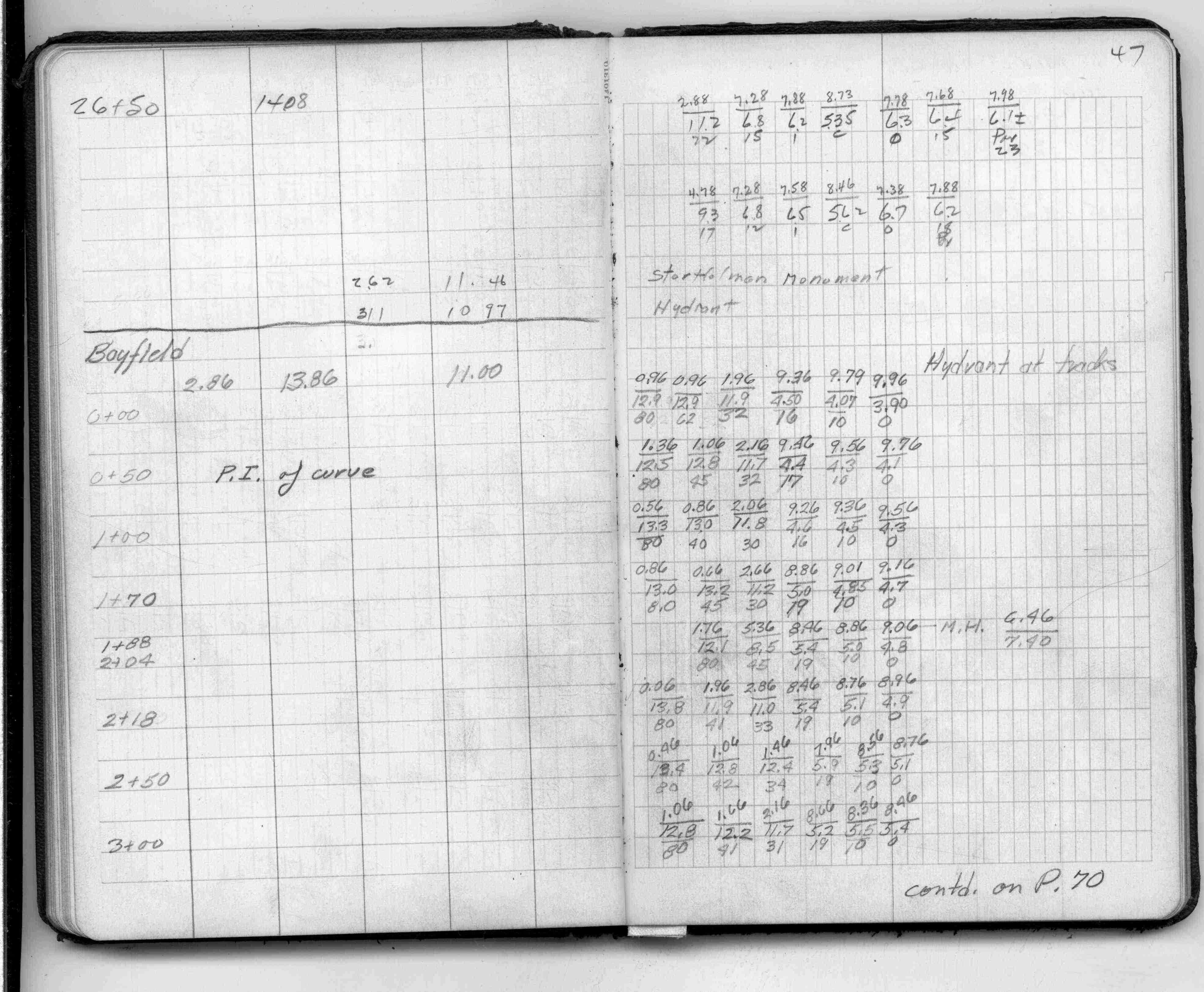
| Locations & X-Secs | 1942-03-27 Page(s) 37-47
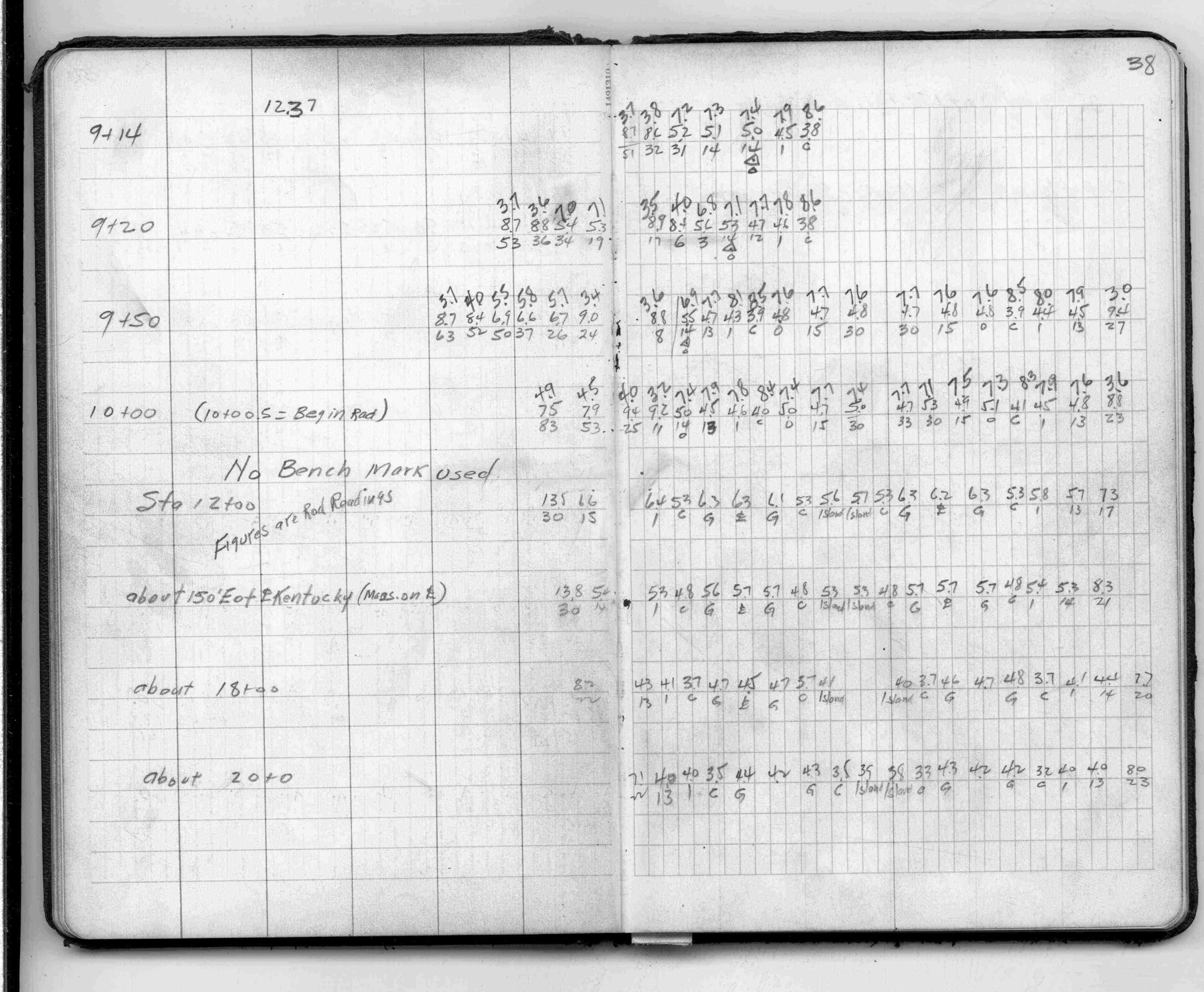
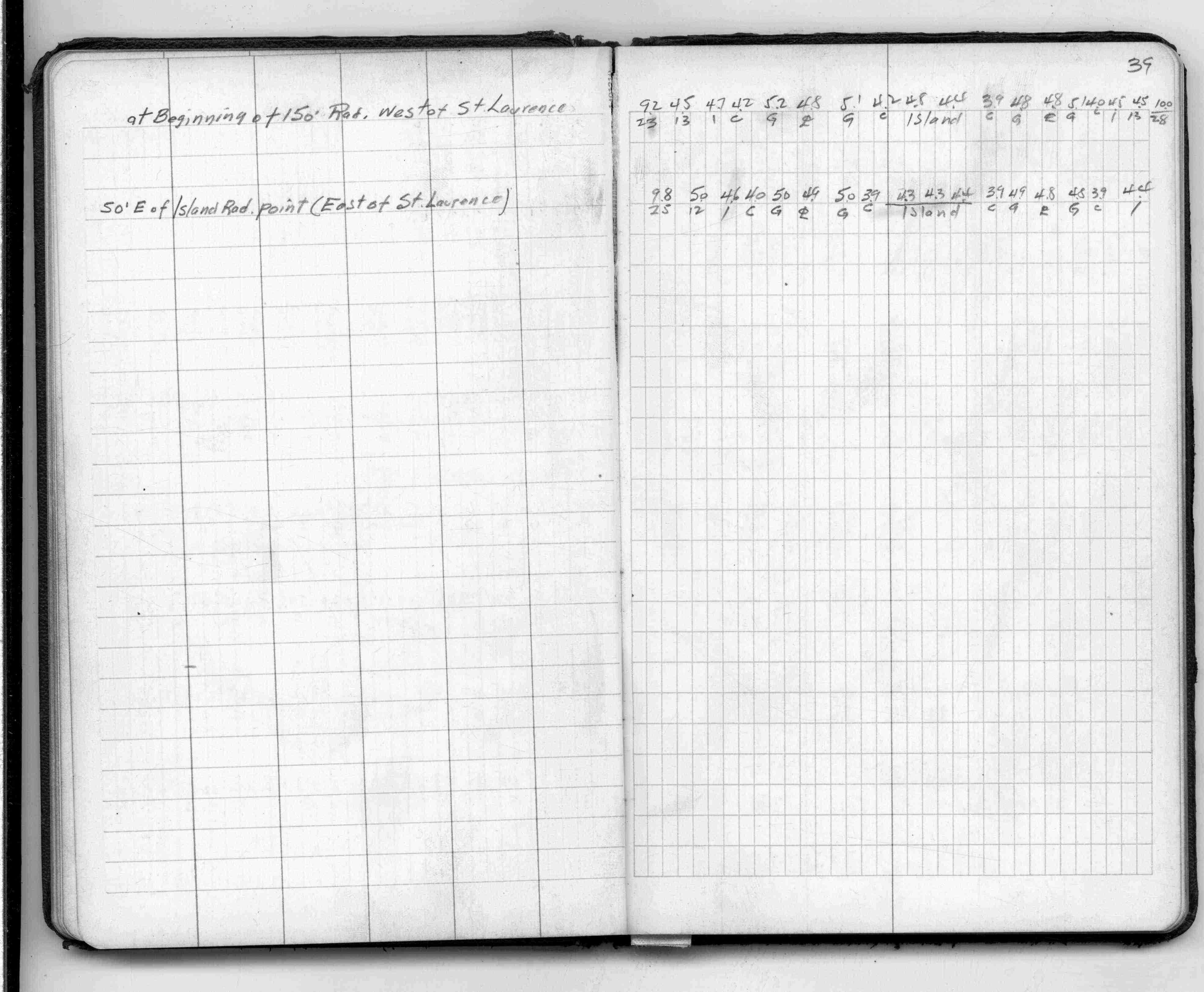
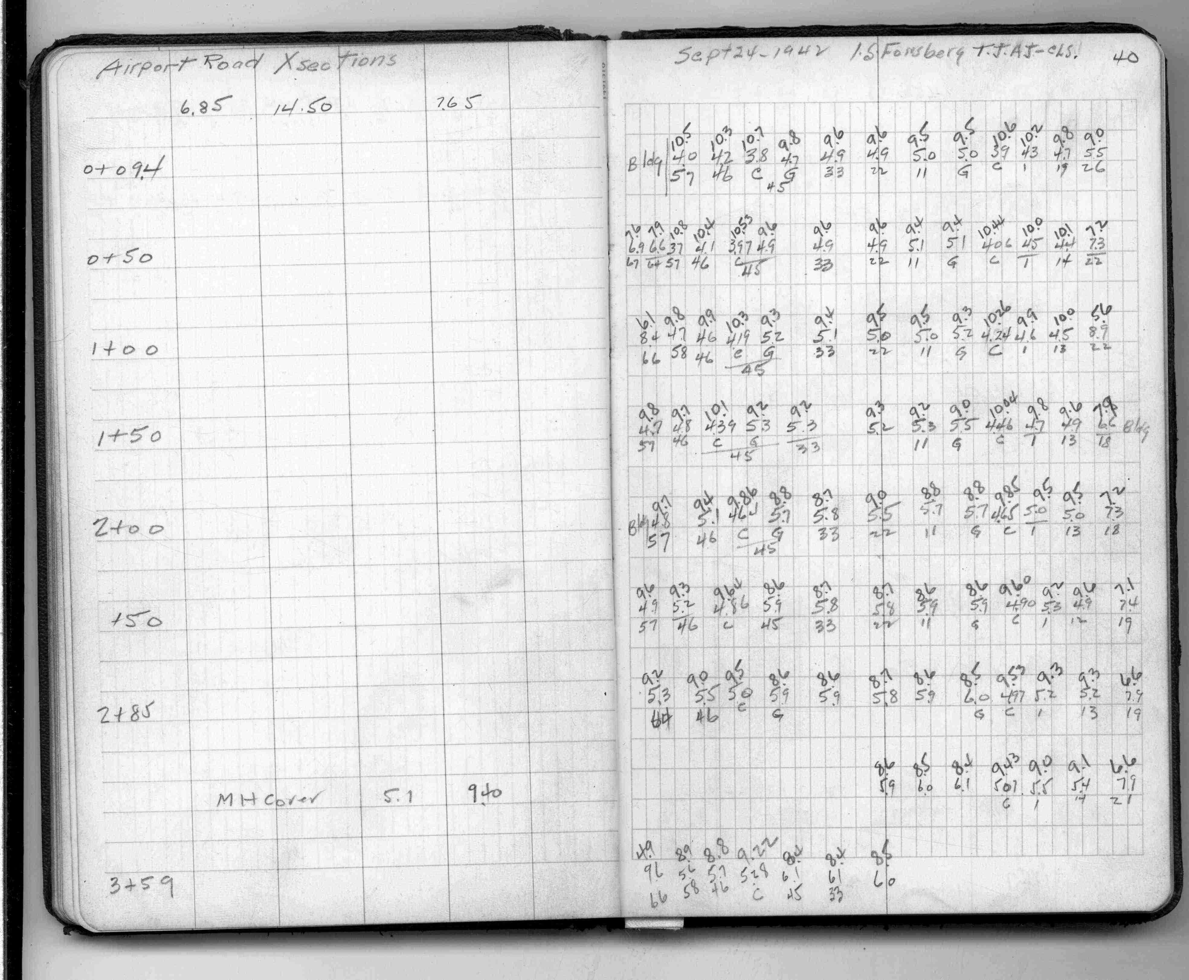
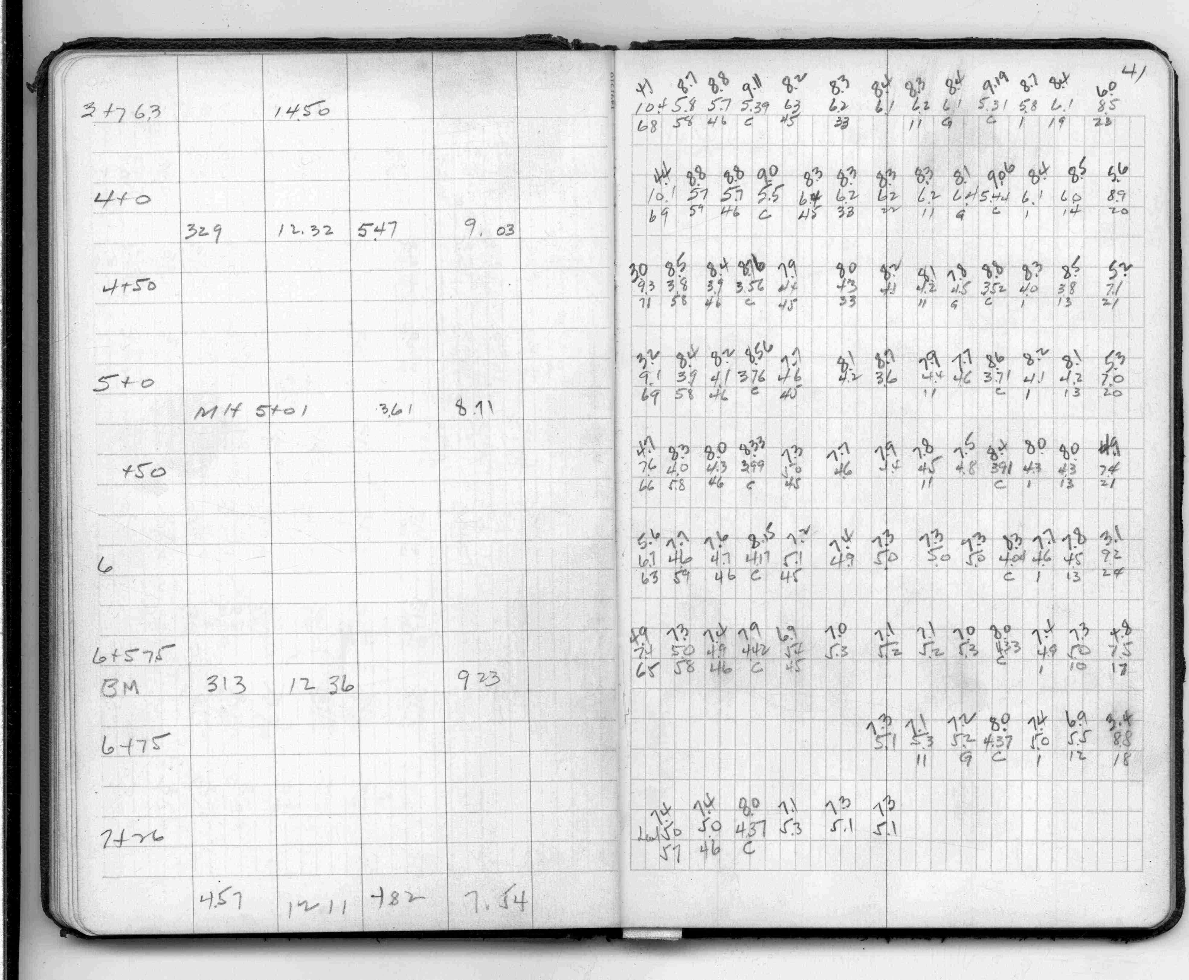
Airport Road (Private)
| Cross Sections | 1942-09-10 Page(s) 47
Bayfield St (Private)
FROM
Station 0+00
TO
Station 3+86 on Page 70
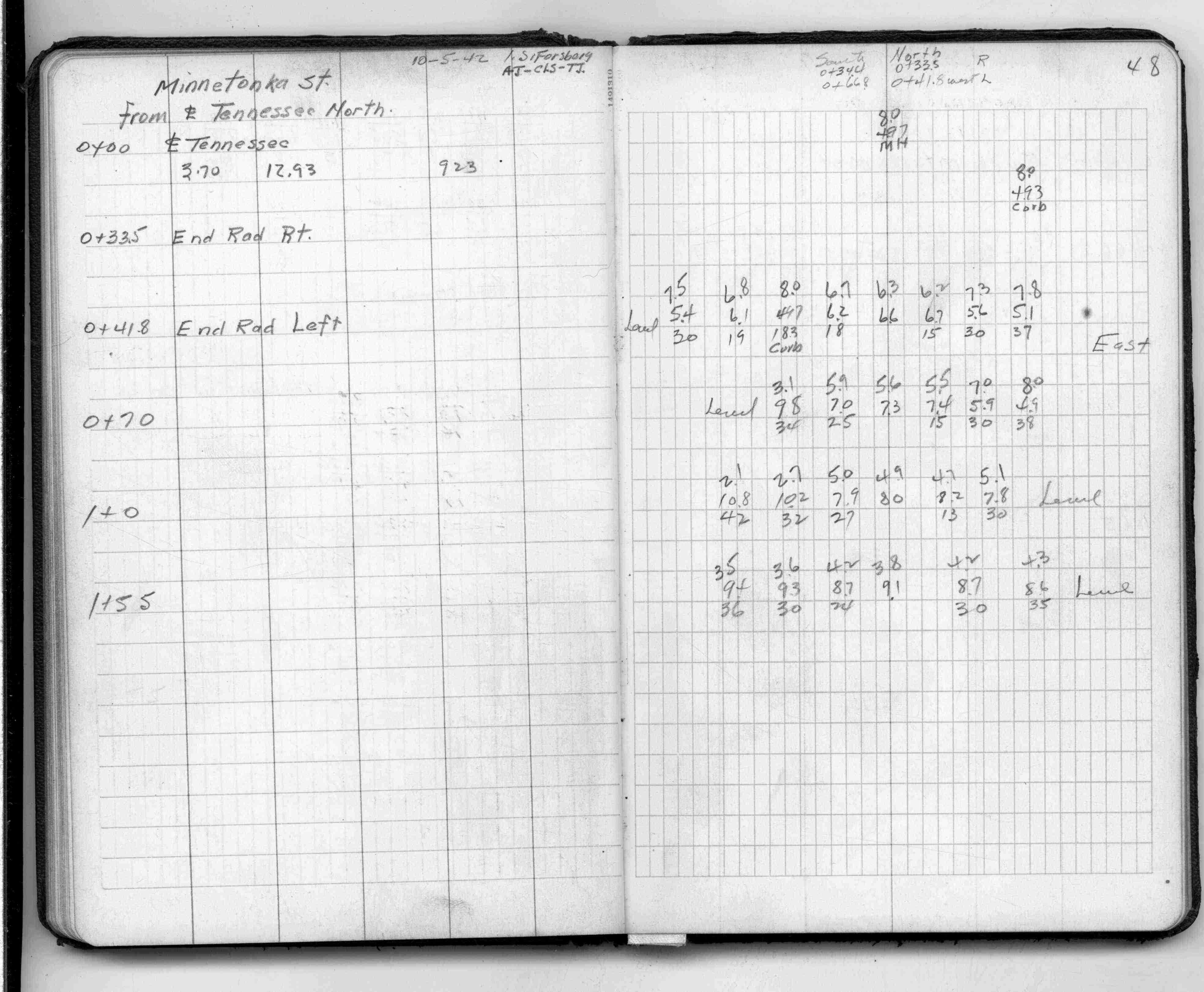
| Cross Sections | 0000-00-00 Page(s) 48
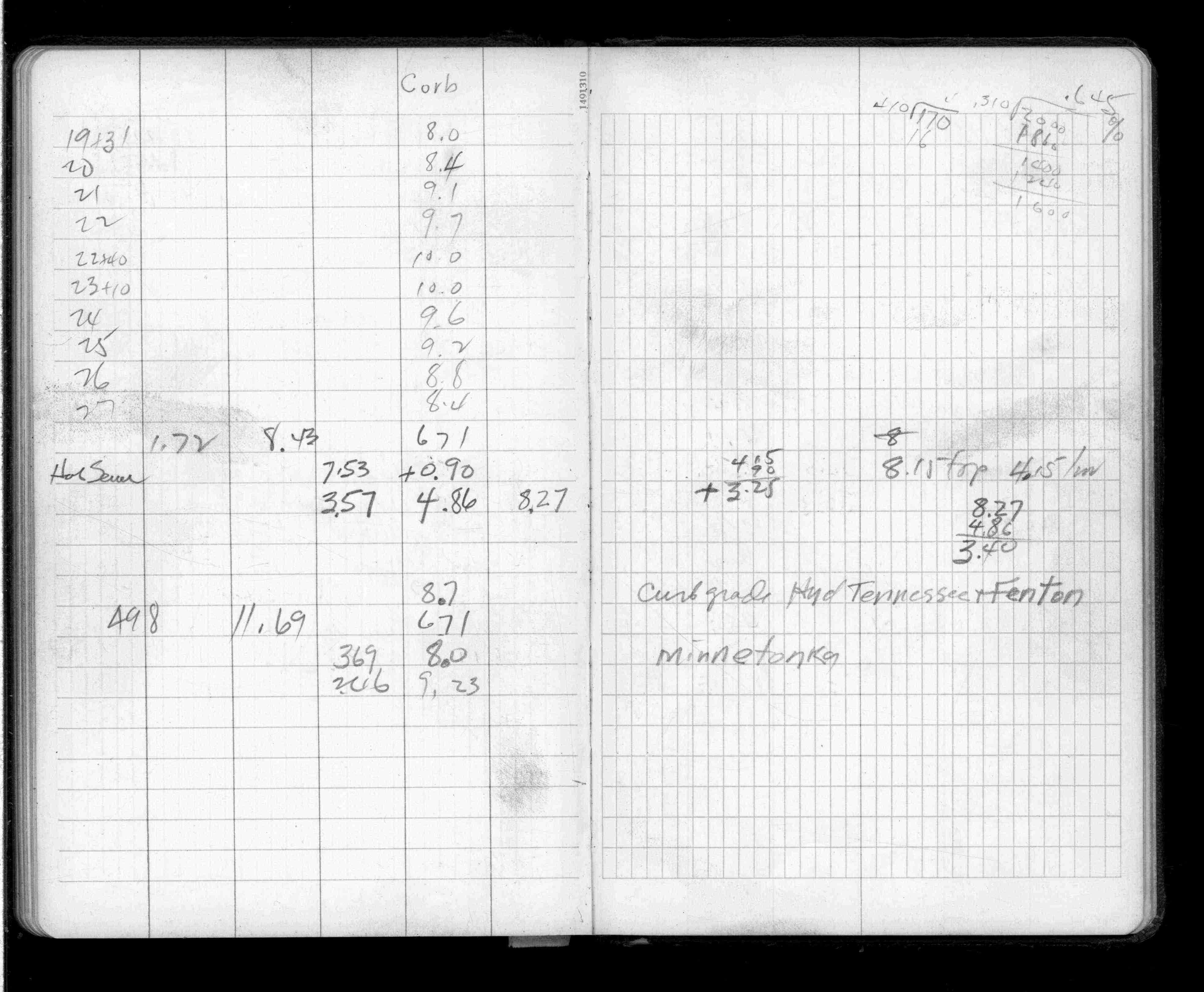
Minnetonka St (Vacated)
FROM
Tennesee St
TO
North 155 Ft
| Cross Sections | 1942-10-05 Page(s) 49
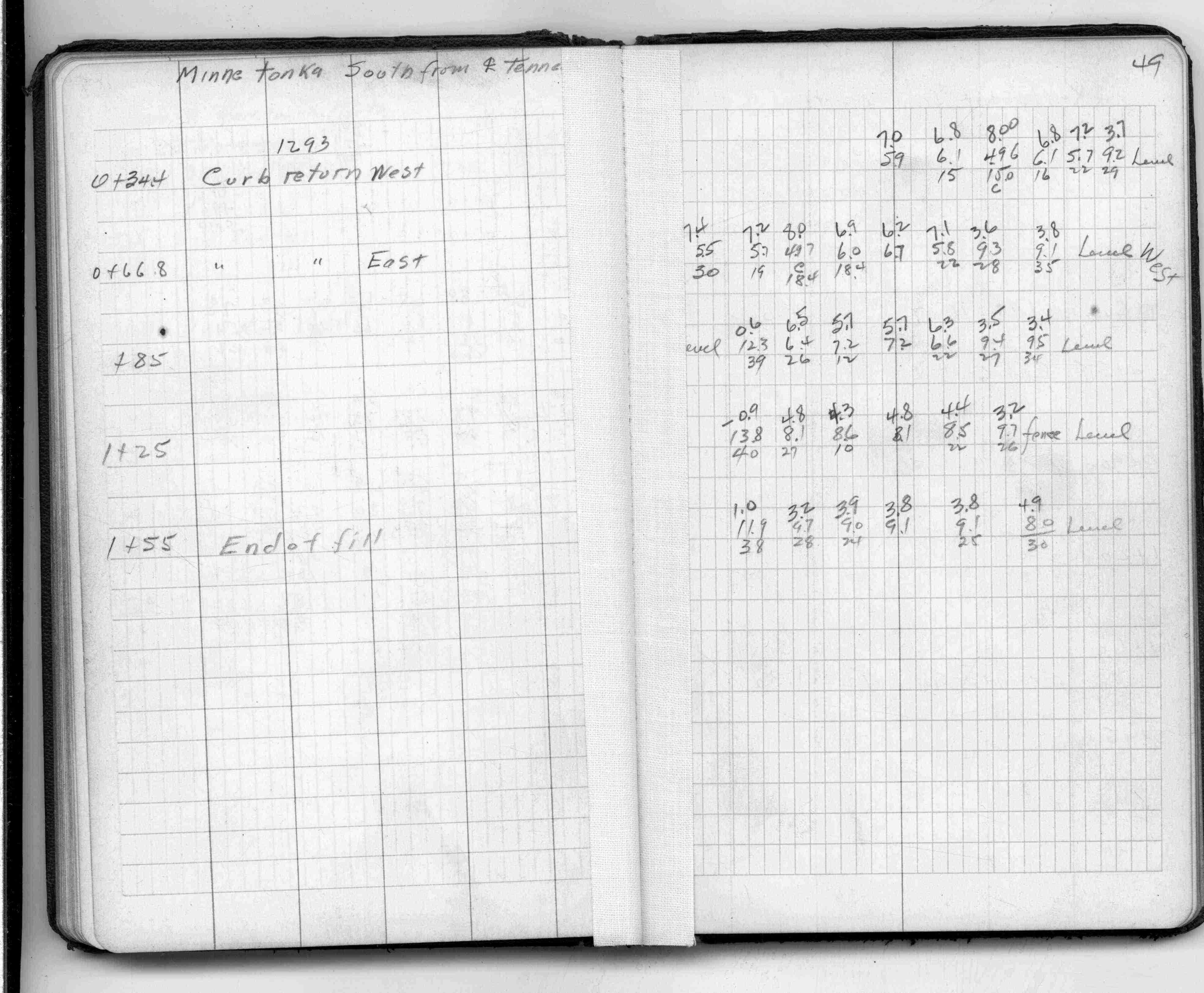
Minnetonka St (Vacated)
FROM
Tennesee St
TO
South 155 Ft
| Cross Sections | 1942-10-15 Page(s) 50
Kentucky St (Vacated)
FROM
Airport Road (Private)
TO
North 215 Ft
| Cross Sections | 0000-00-00 Page(s) 51
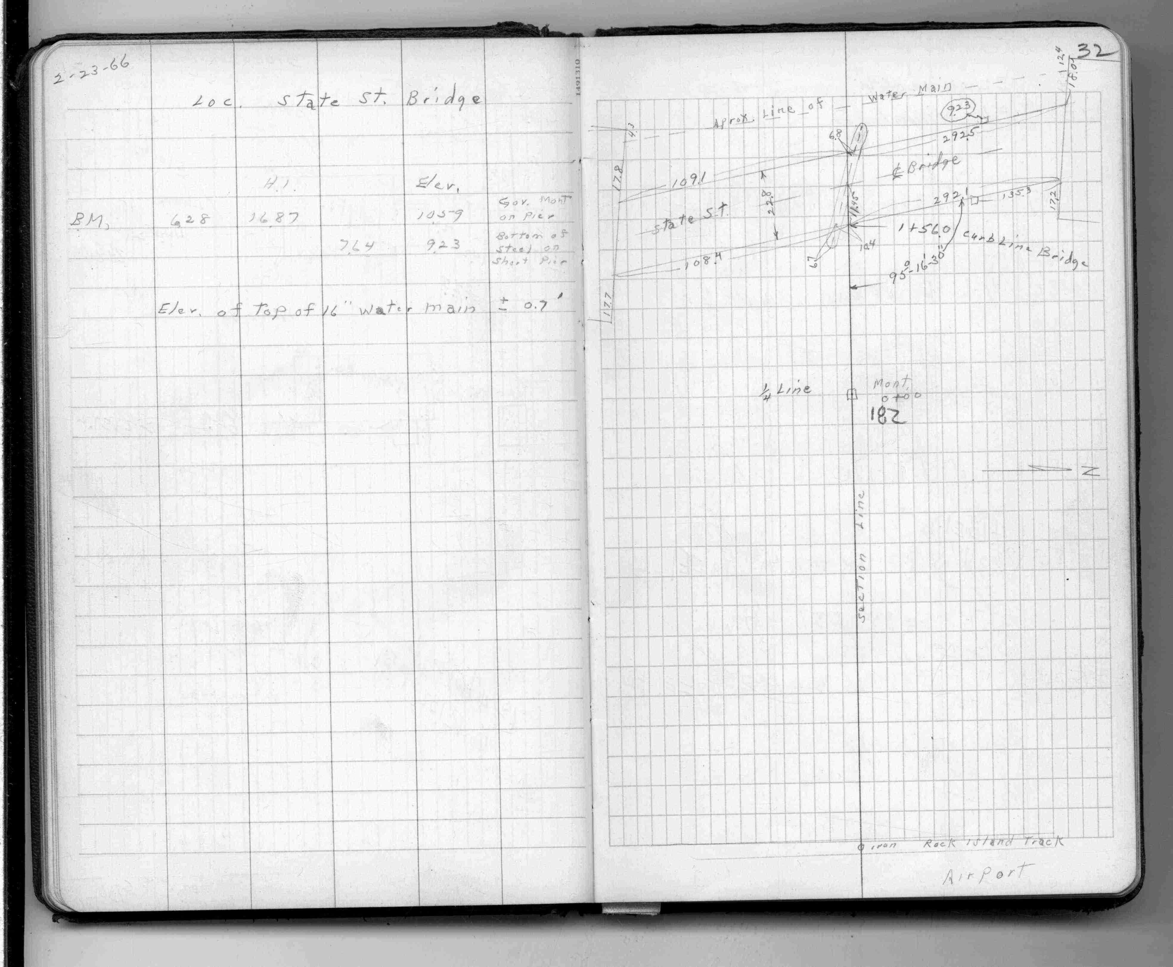
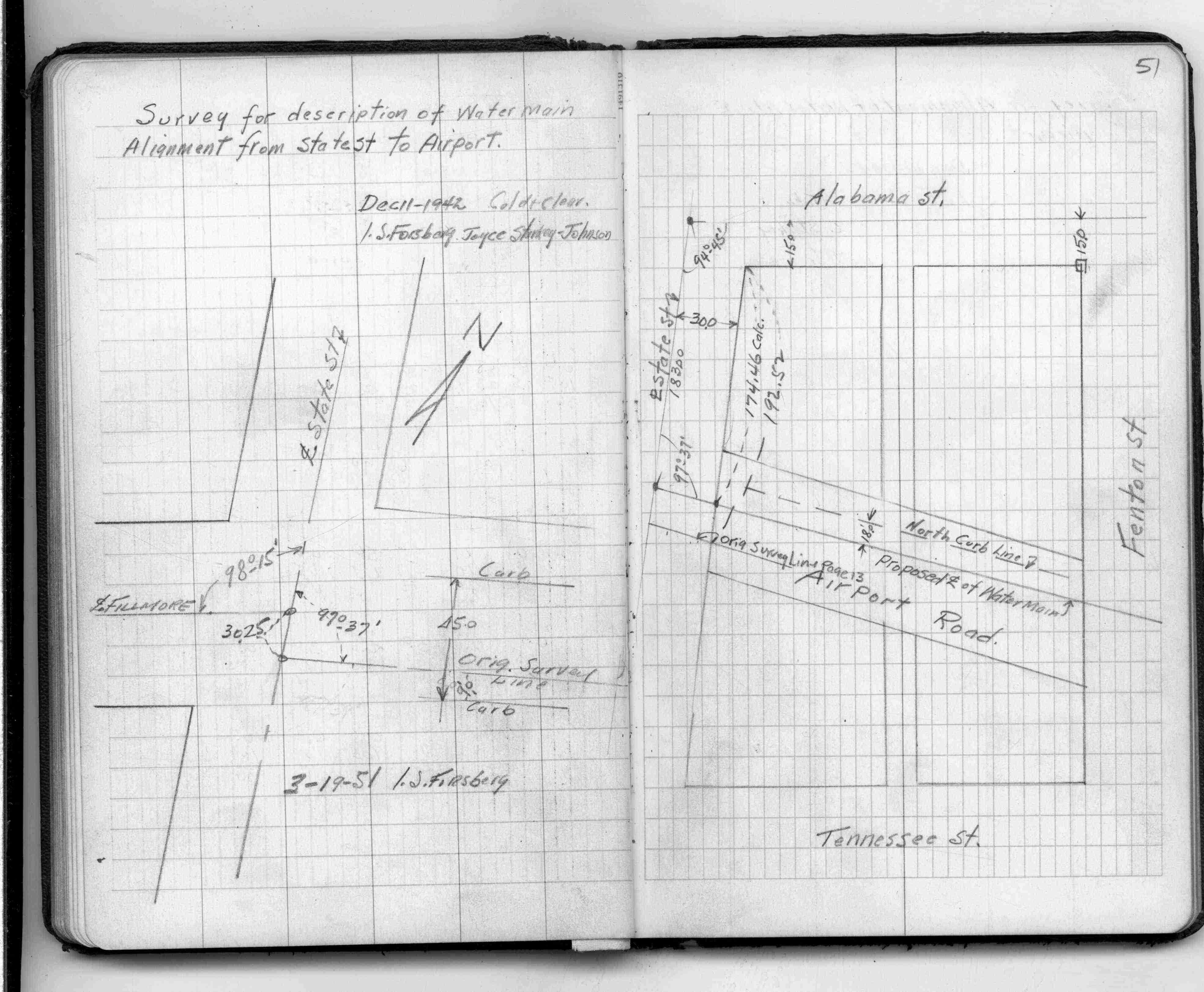
Airport Road
FROM
Fenton St
TO
State St
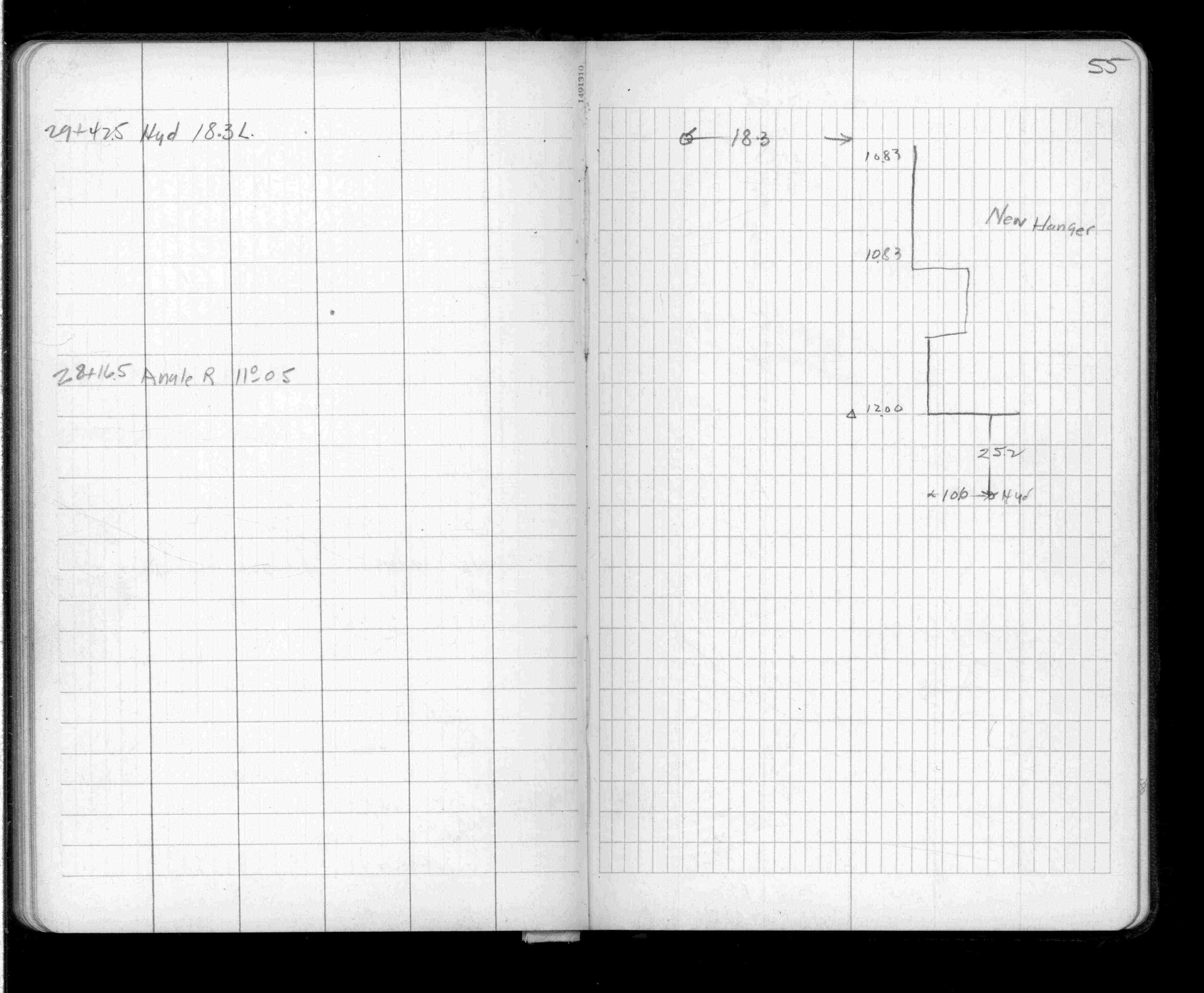
| Water Main Location | 1942-12-11 Page(s) 52-57
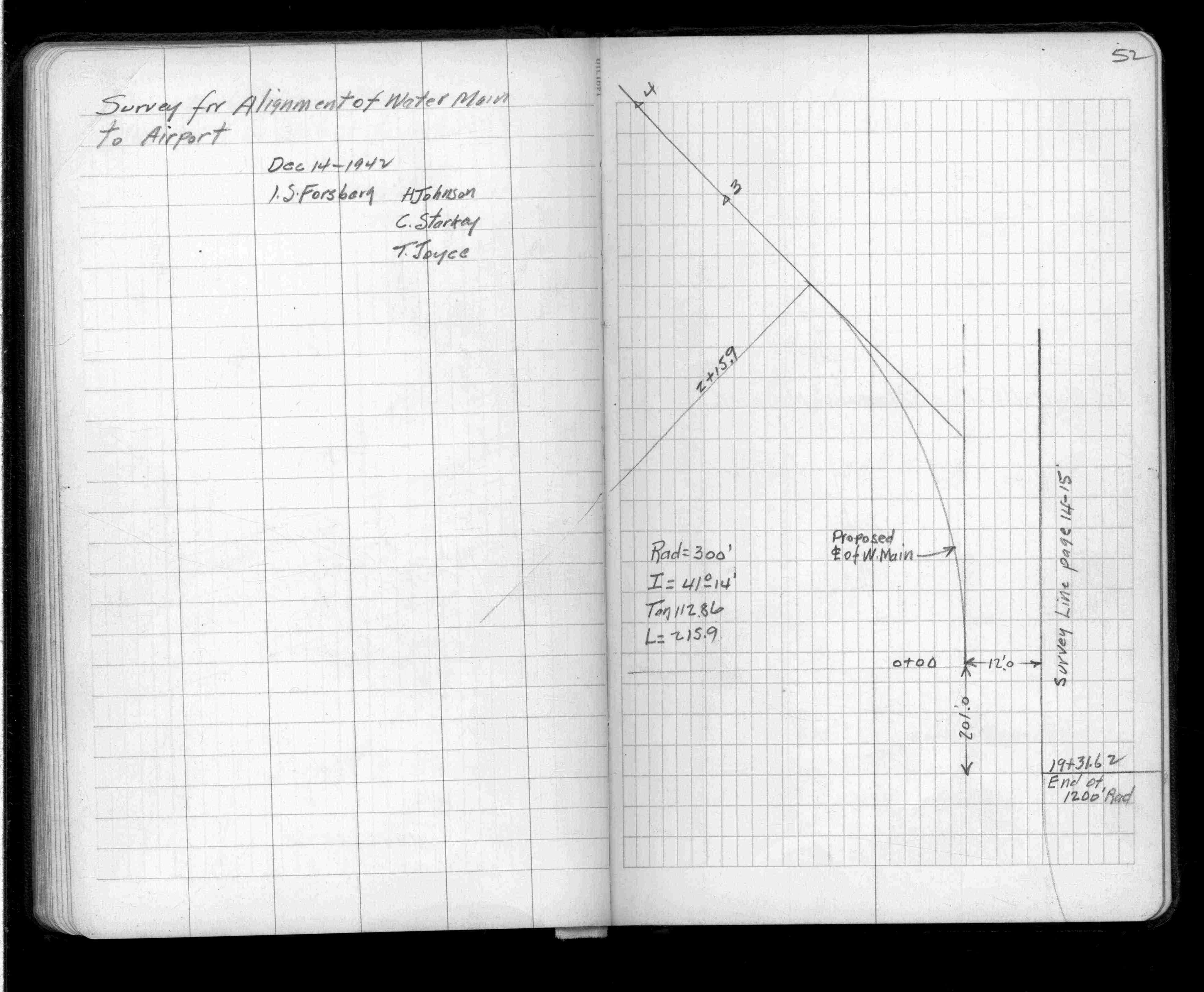
Airport Rd Water Main
FROM
Fenton St
TO
State St
| Alignment & Levels | 1942-12-14 Page(s) 58
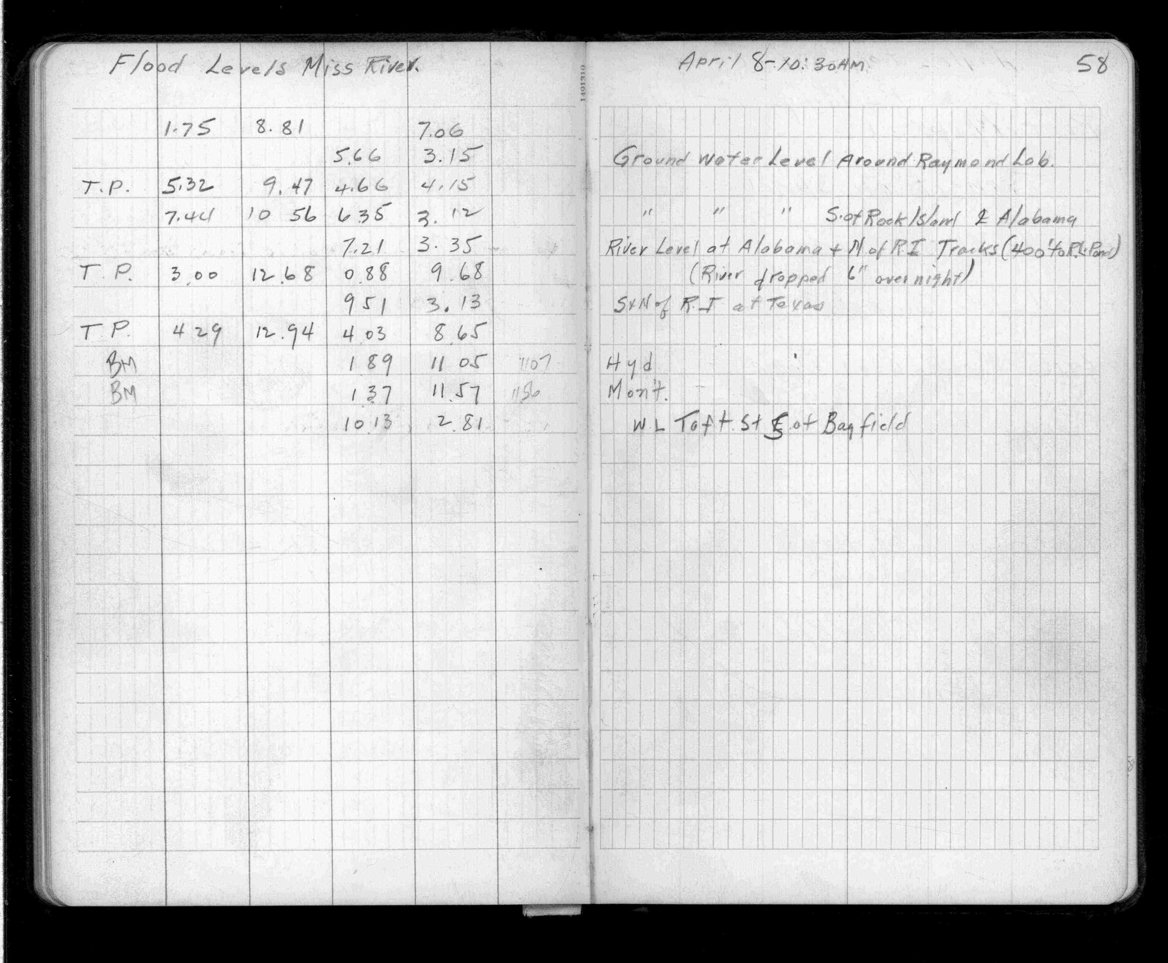
Mississippi River
FROM
Ground Water Level @ Raymond Lab
TO
WL Taft St(Vac) S of Bayfield
| Flood Levels | 1943-04-08 Page(s) 59-60
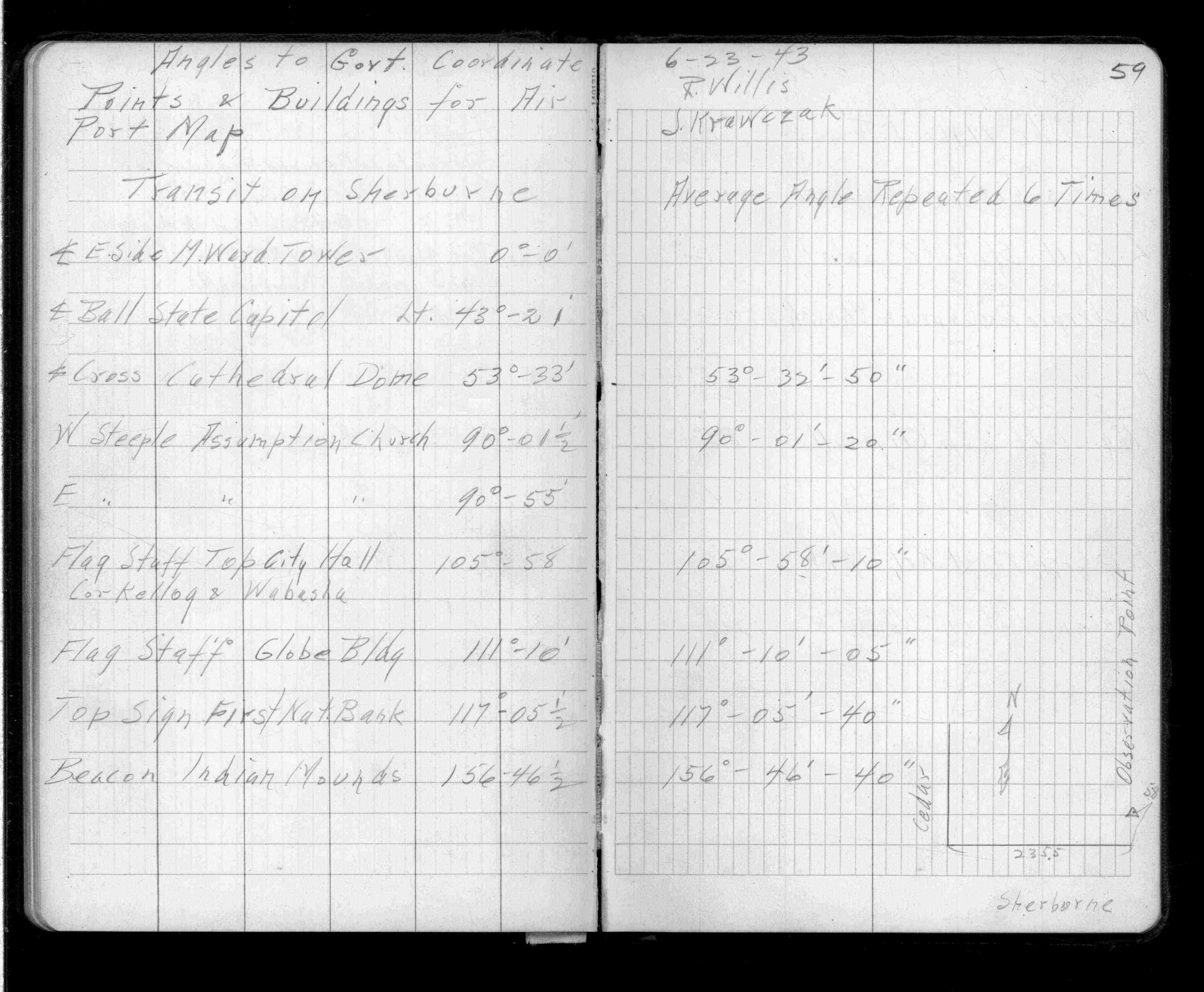
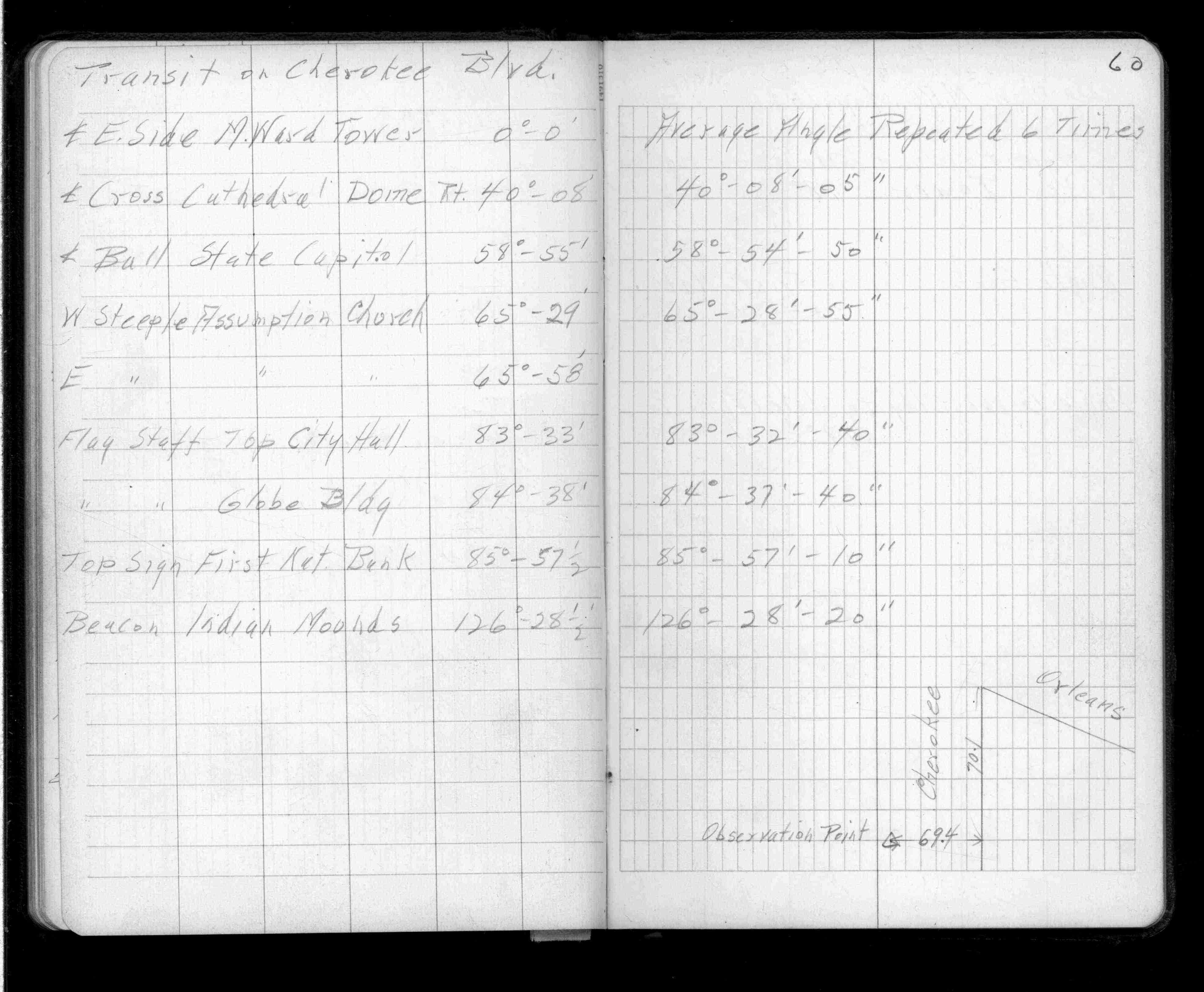
Cherokee Blvd
FROM
CL E Side Tower
TO
Beacon Indian Mounds
| Govt Pts & Bldgs | 1943-06-23 Page(s) 61
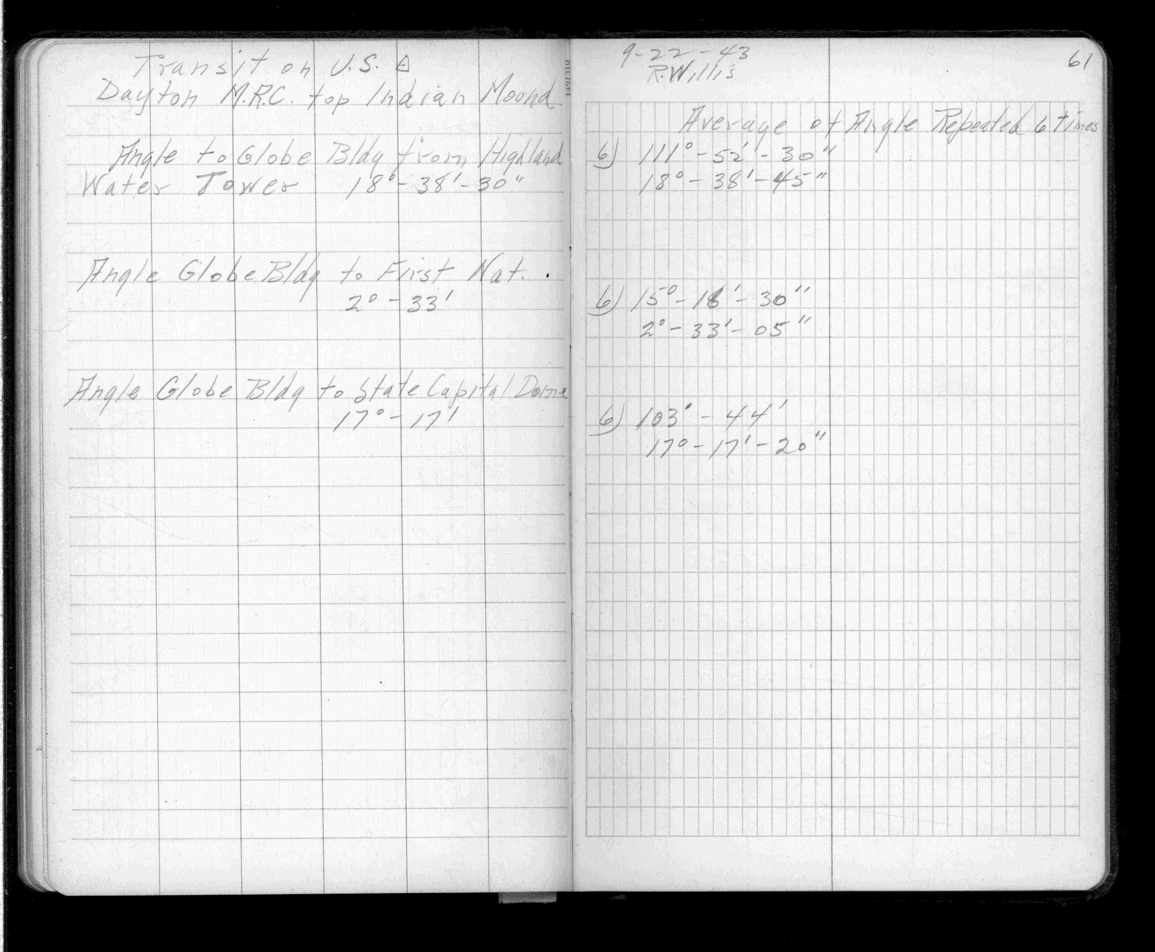
Dayton MRC Top Indian Mound
FROM
Ang to Globe Blg fr Highland Tower
TO
Angle Globe Bldg to Cap Dome
| Transit | 1943-09-22 Page(s) 62
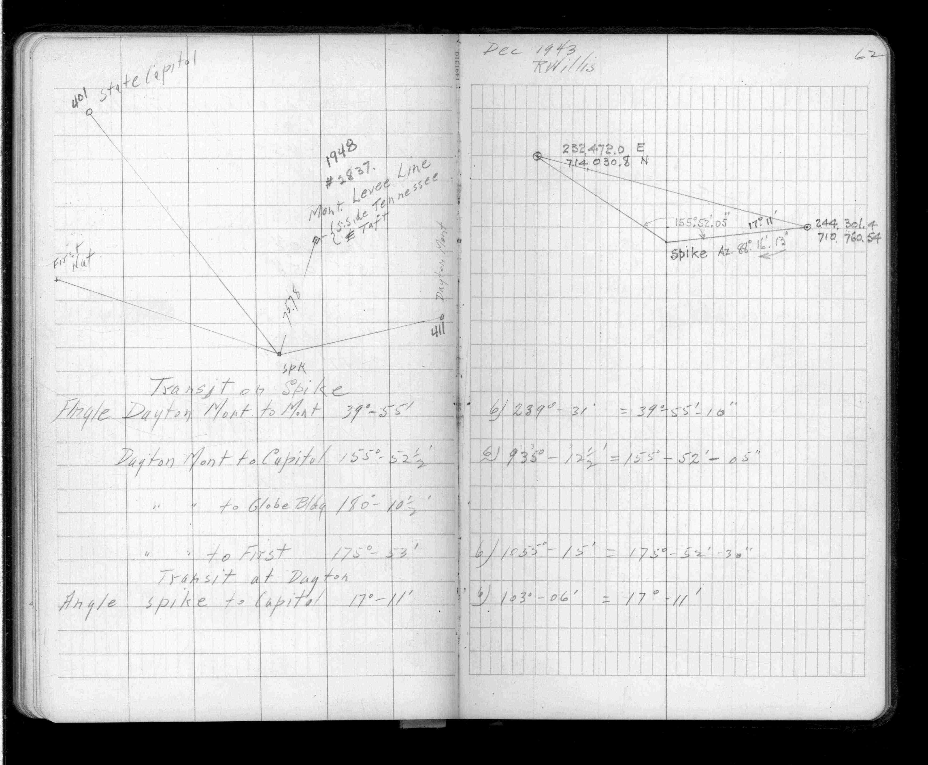
Dayton MRC Top Indian Mound
| Transit | 1943-12-00 Page(s) 63
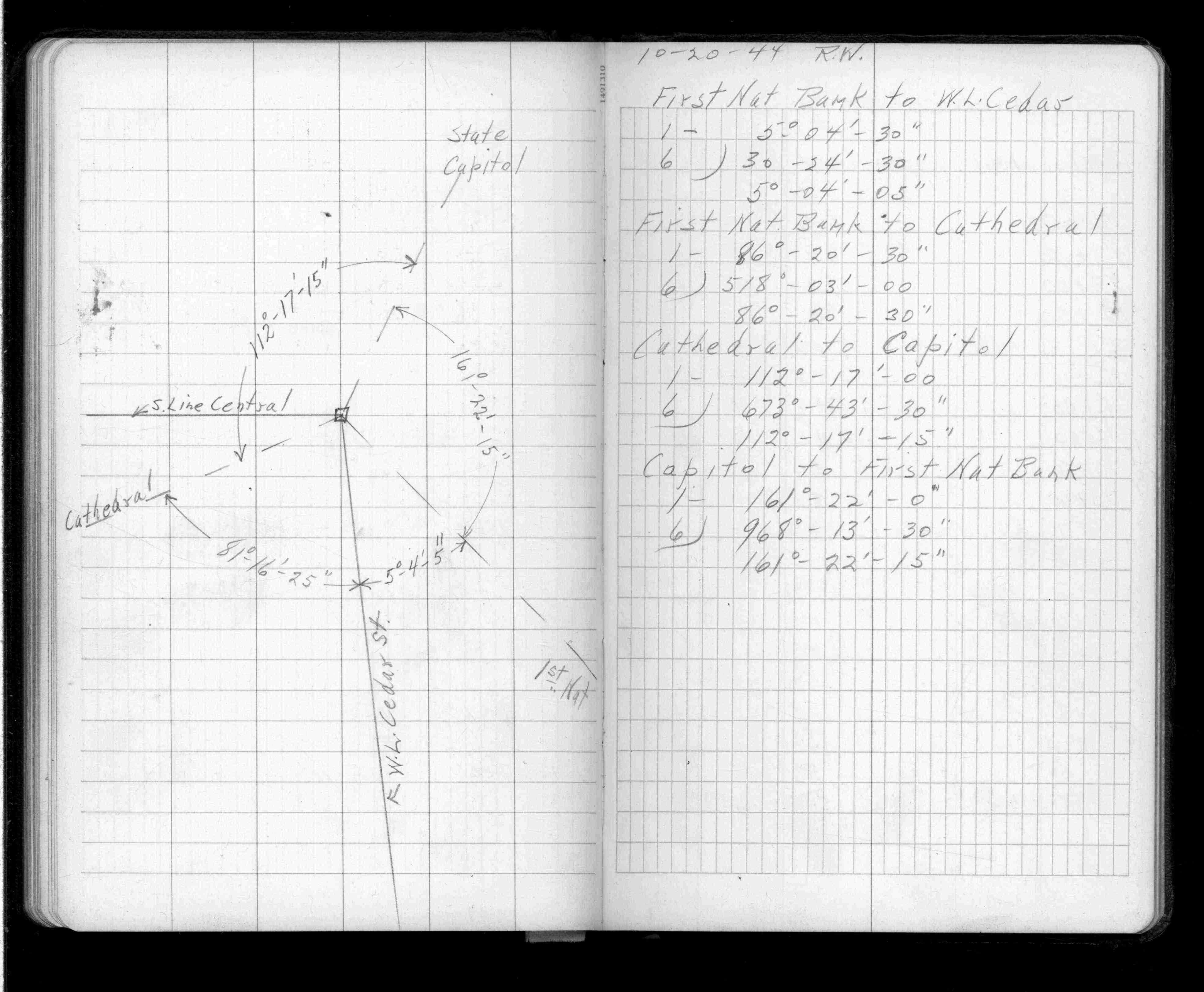
Dayton MRC Top Indian Mound
FROM
1st Nat Bank to WL Cedar St
TO
Capitol to 1st Nat Bank
| Angles | 1944-10-20 Page(s) 64-65
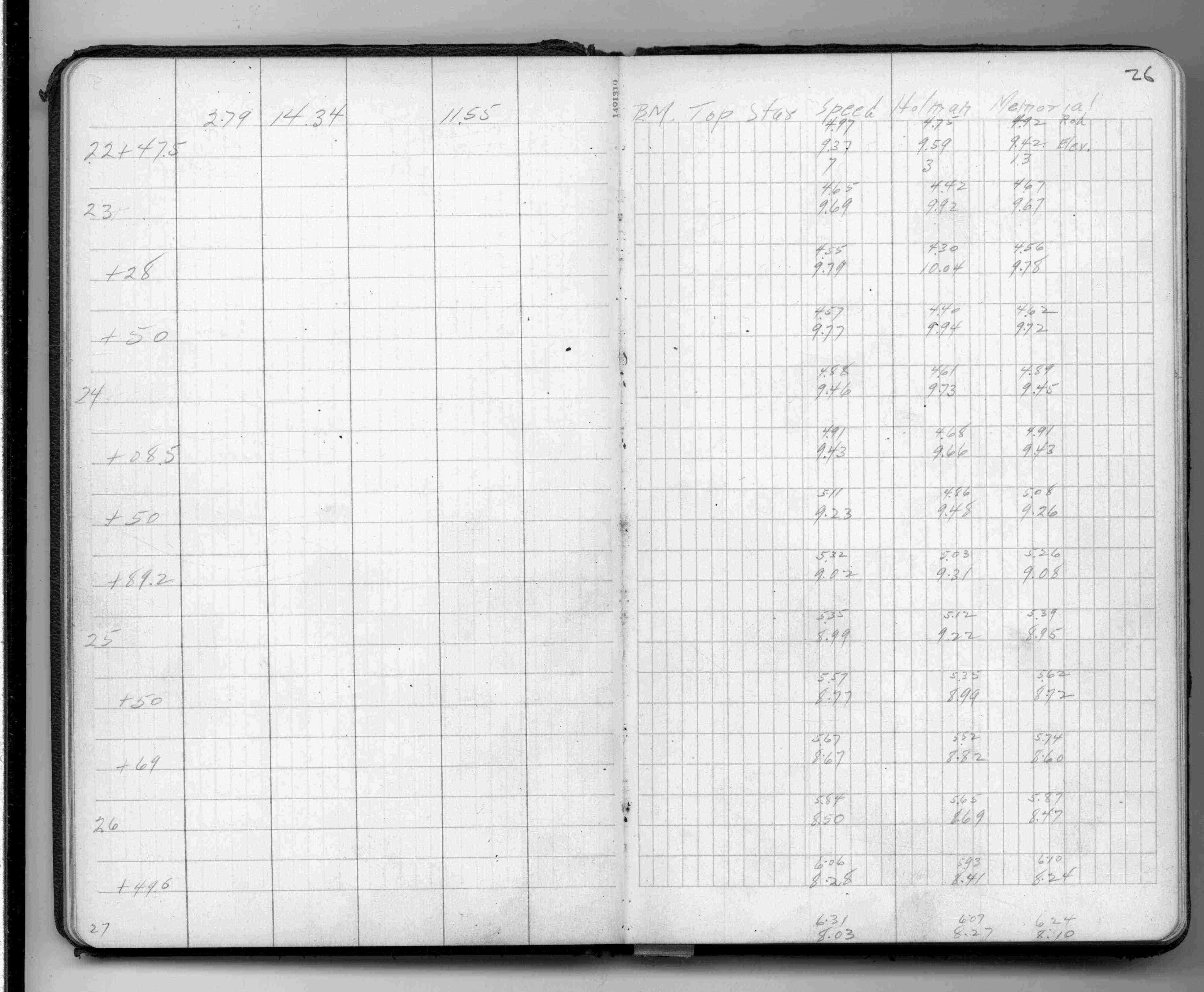
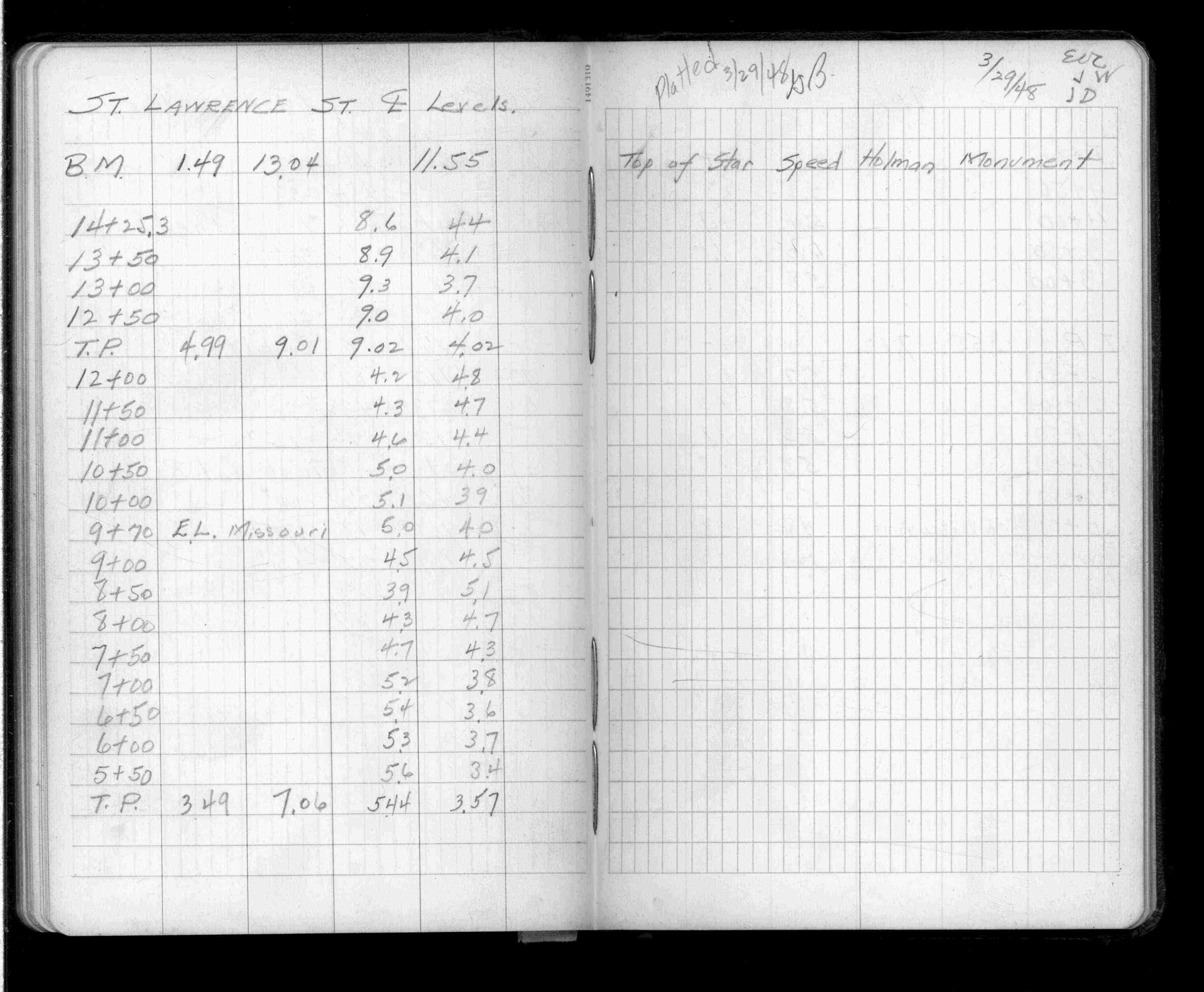
St Lawrence St
FROM
Top of Star Holman Monument
TO
Wisconsin St
| Levels | 1948-03-29 Page(s) 66
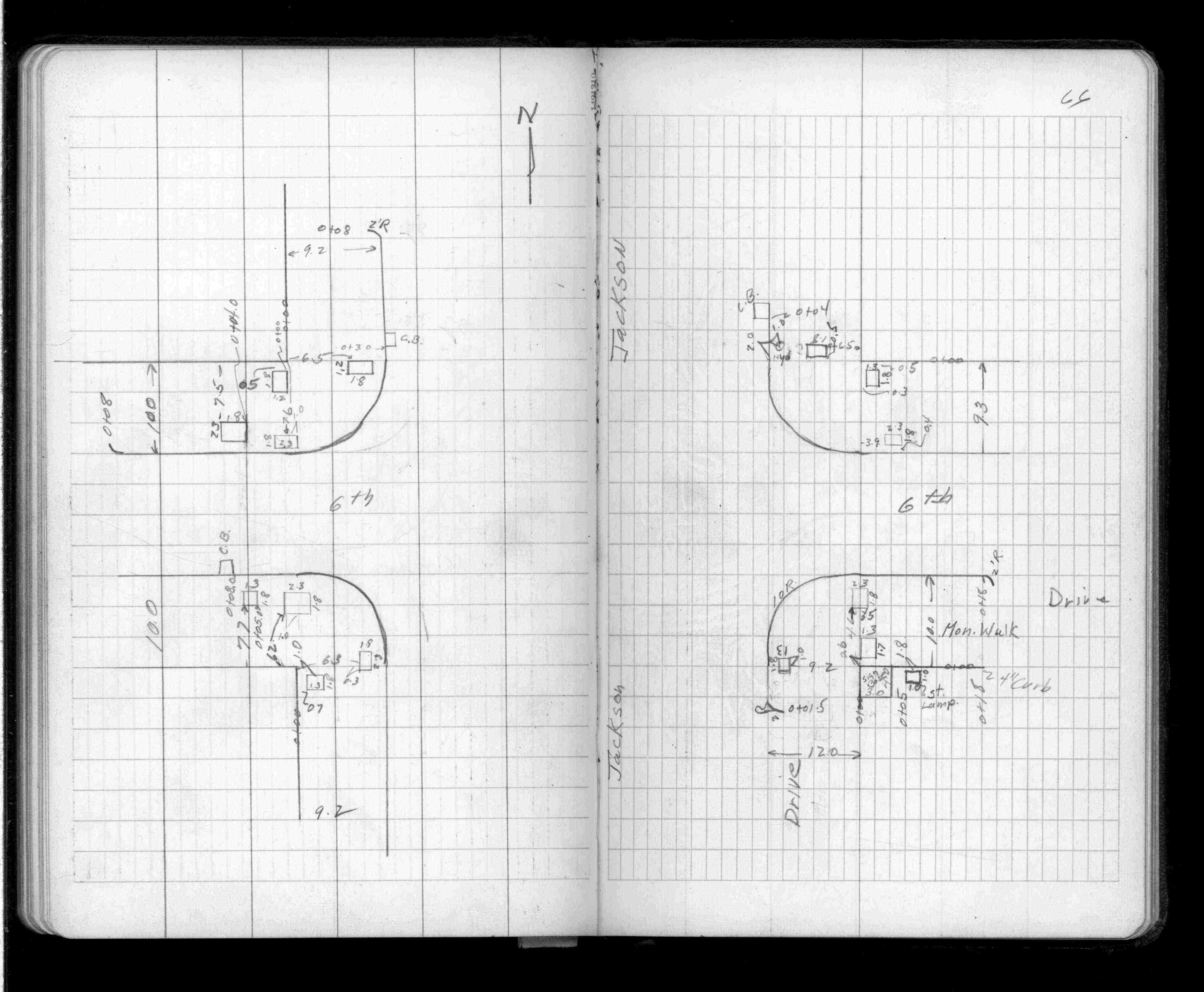
Jackson & Sixth (6th) Sts
| Locations | 0000-00-00 Page(s) 67
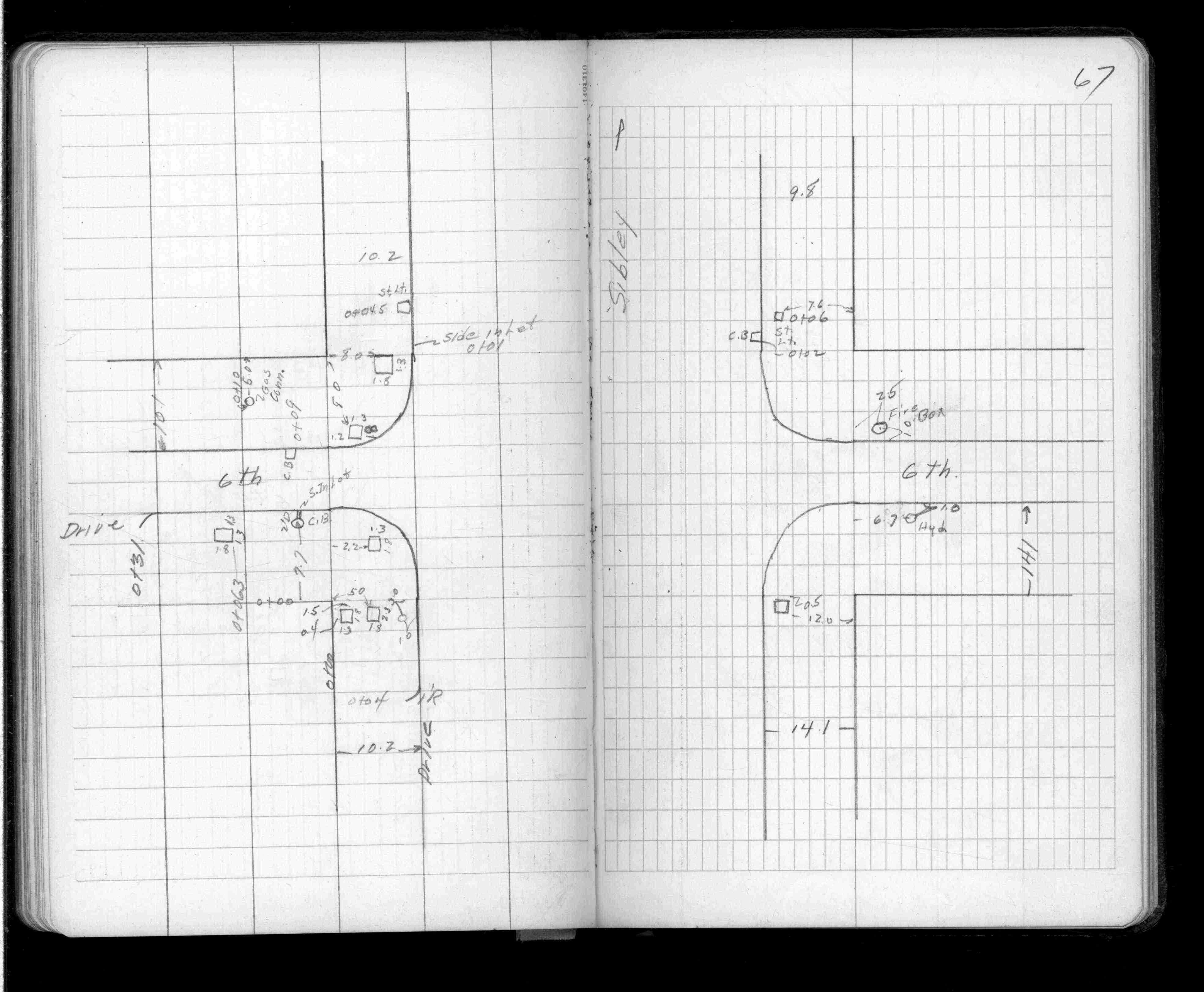
Sibley & Sixth (6th) Sts
| Locations | 0000-00-00 Page(s) 68
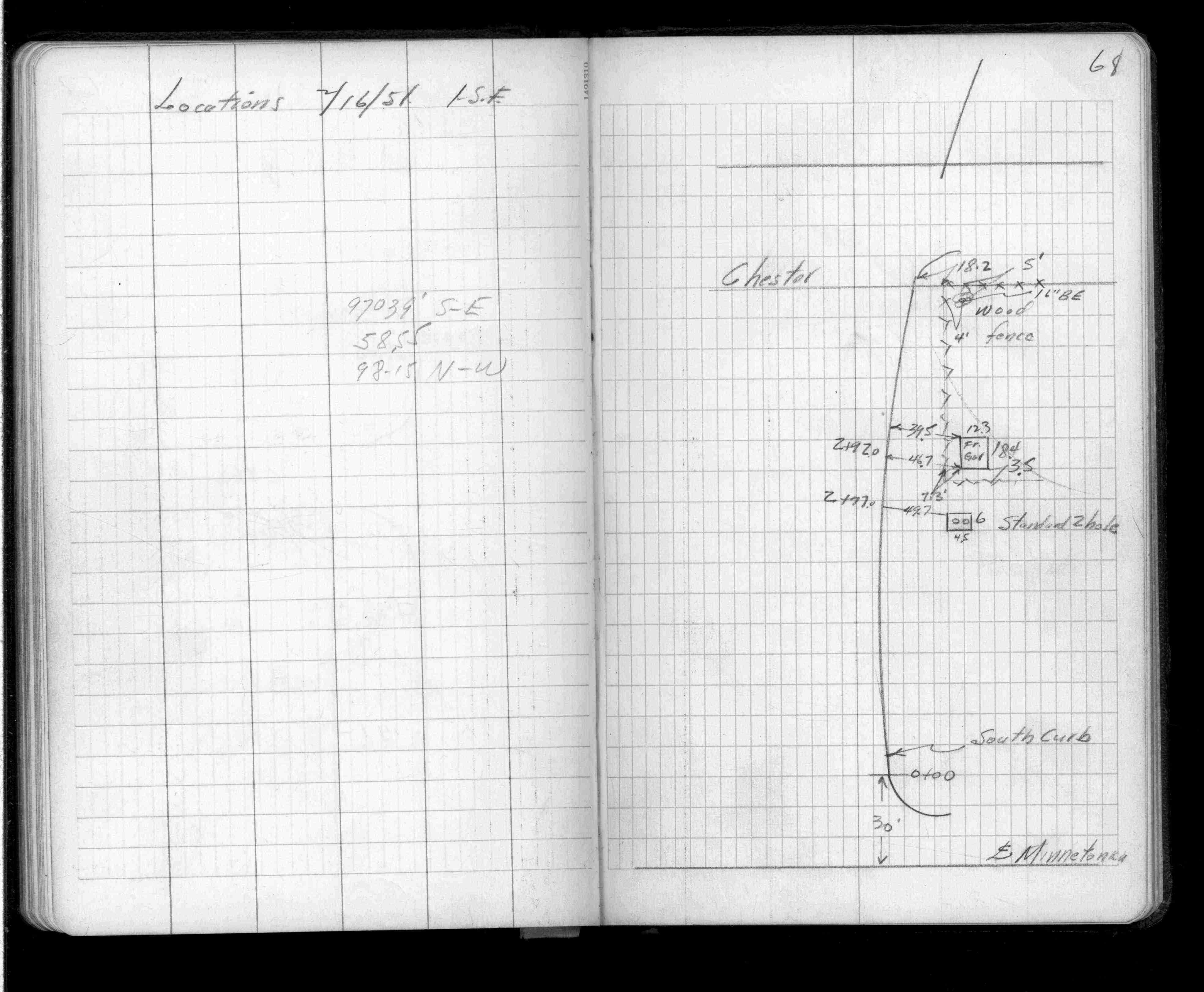
Near Chester St (Vacated)
| Locations | 0000-00-00 Page(s) 69
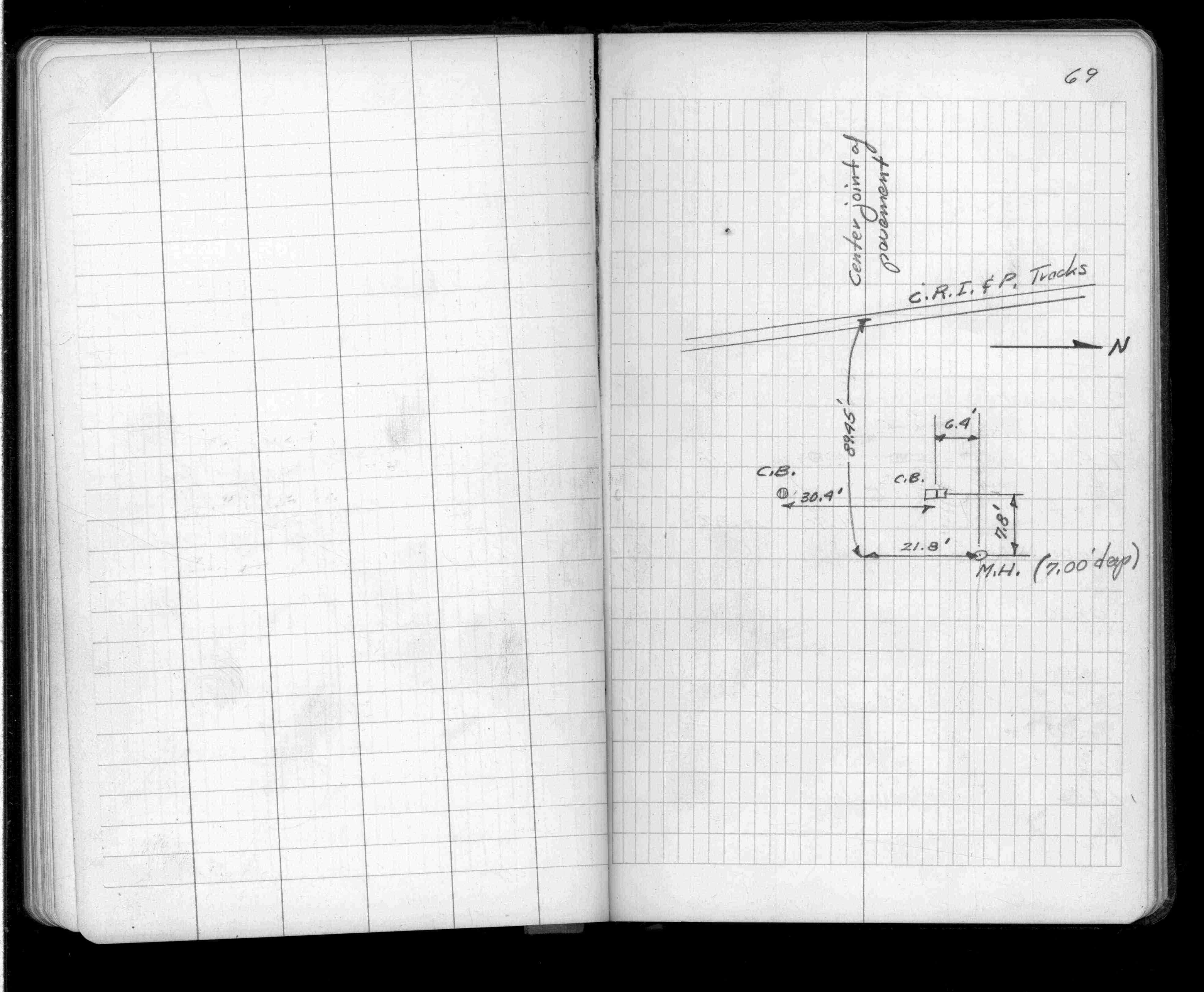
Bayfield St (Priv) @ Tracks
| Catch Basin Locations | 0000-00-00 Page(s) 70
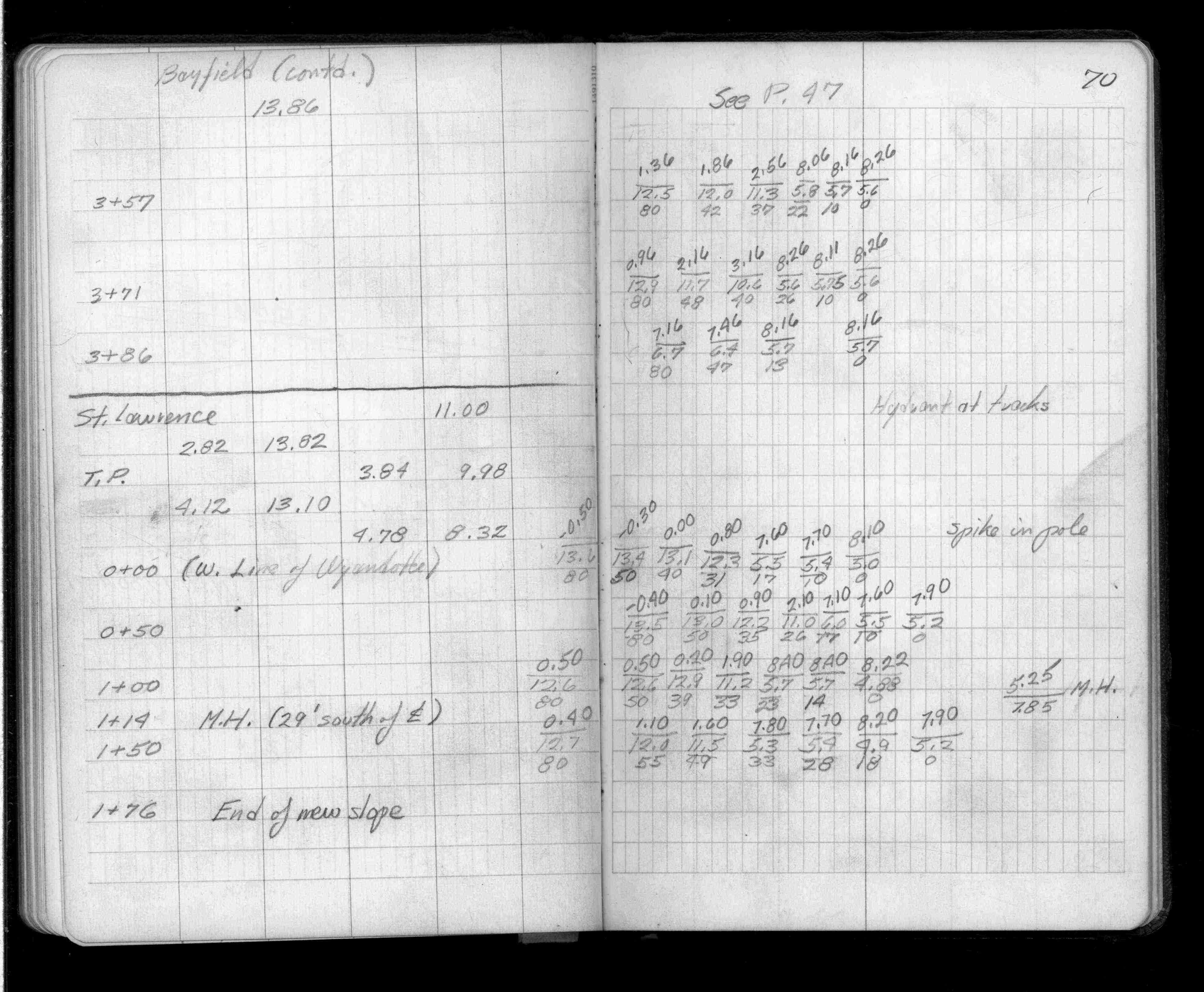
St Lawrence St (Vacated)
FROM
Wyandotte St (Vacated)
TO
East
| Cross Sections | 0000-00-00 Page(s) 71-74
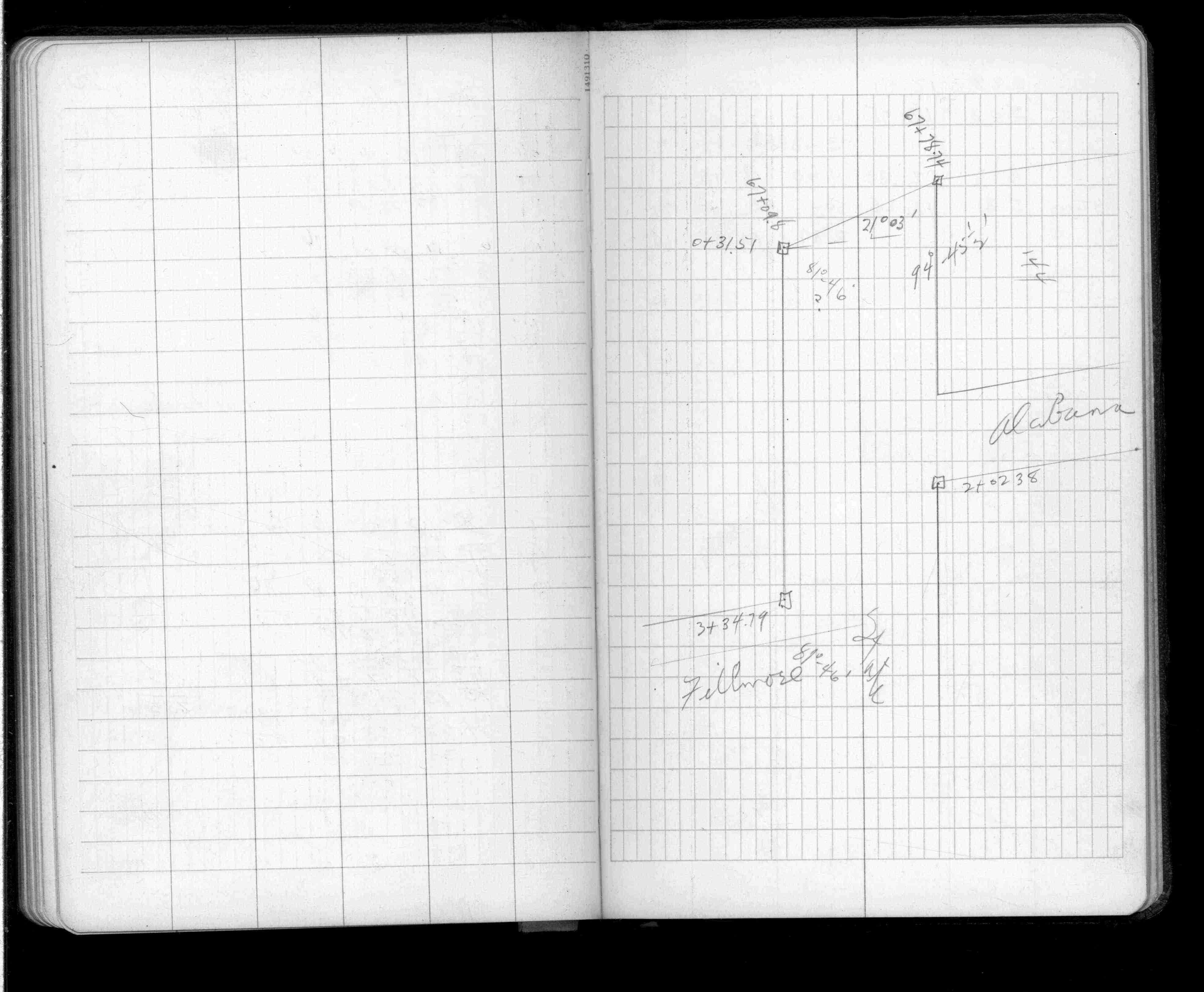
State St
FROM
Fillmore Ave
TO
Alabama St (Vacated)
| Mont Locs & Levels | 0000-00-00 Page(s) 75-78
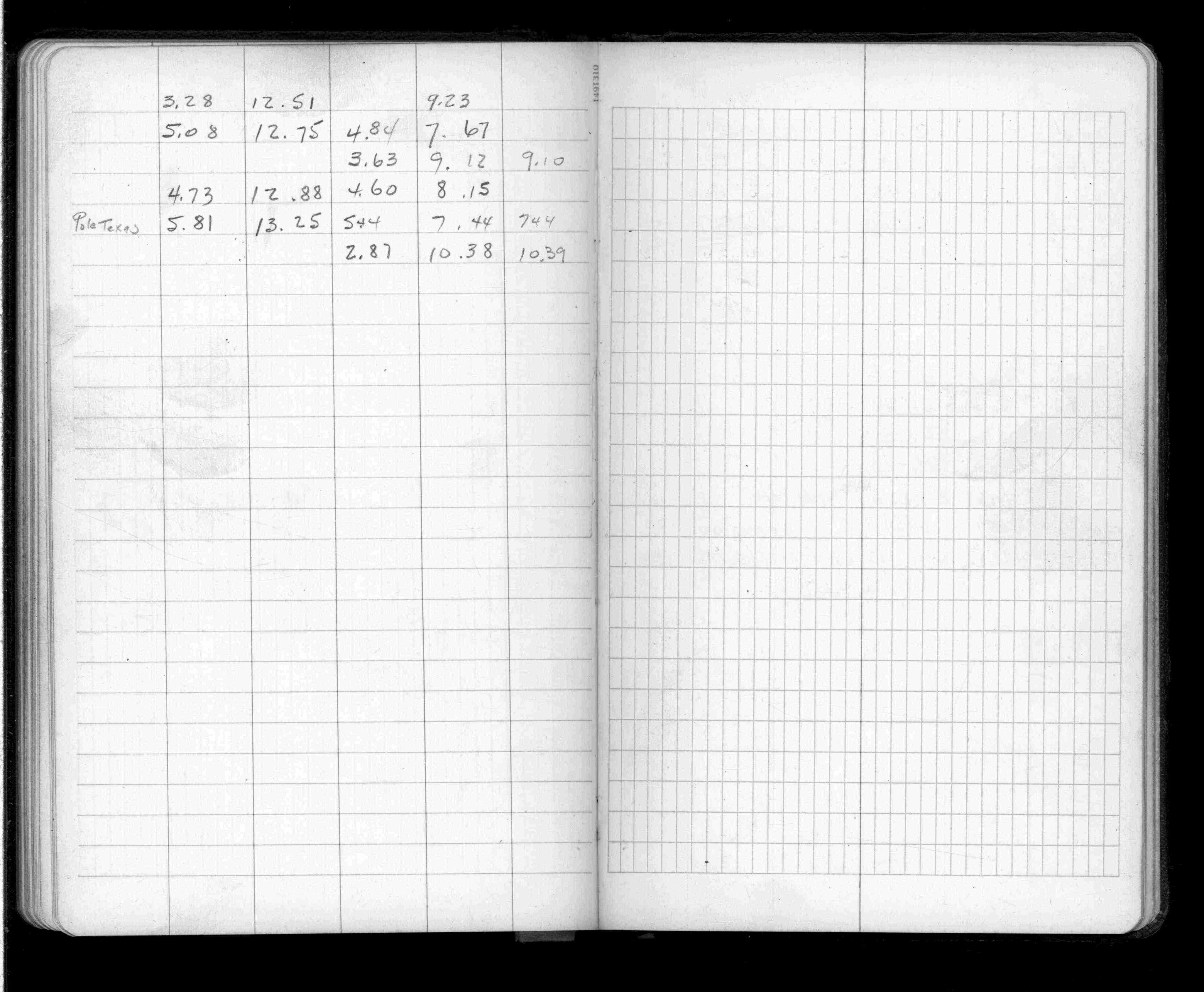
Near Fenton St (Vacated)
| Levels & Calculations | 0000-00-00 Page(s) 79
Minnetonka St (Vacated)
| Levels & Calculations | 0000-00-00
1
2
3
4
5
6
7
8
9
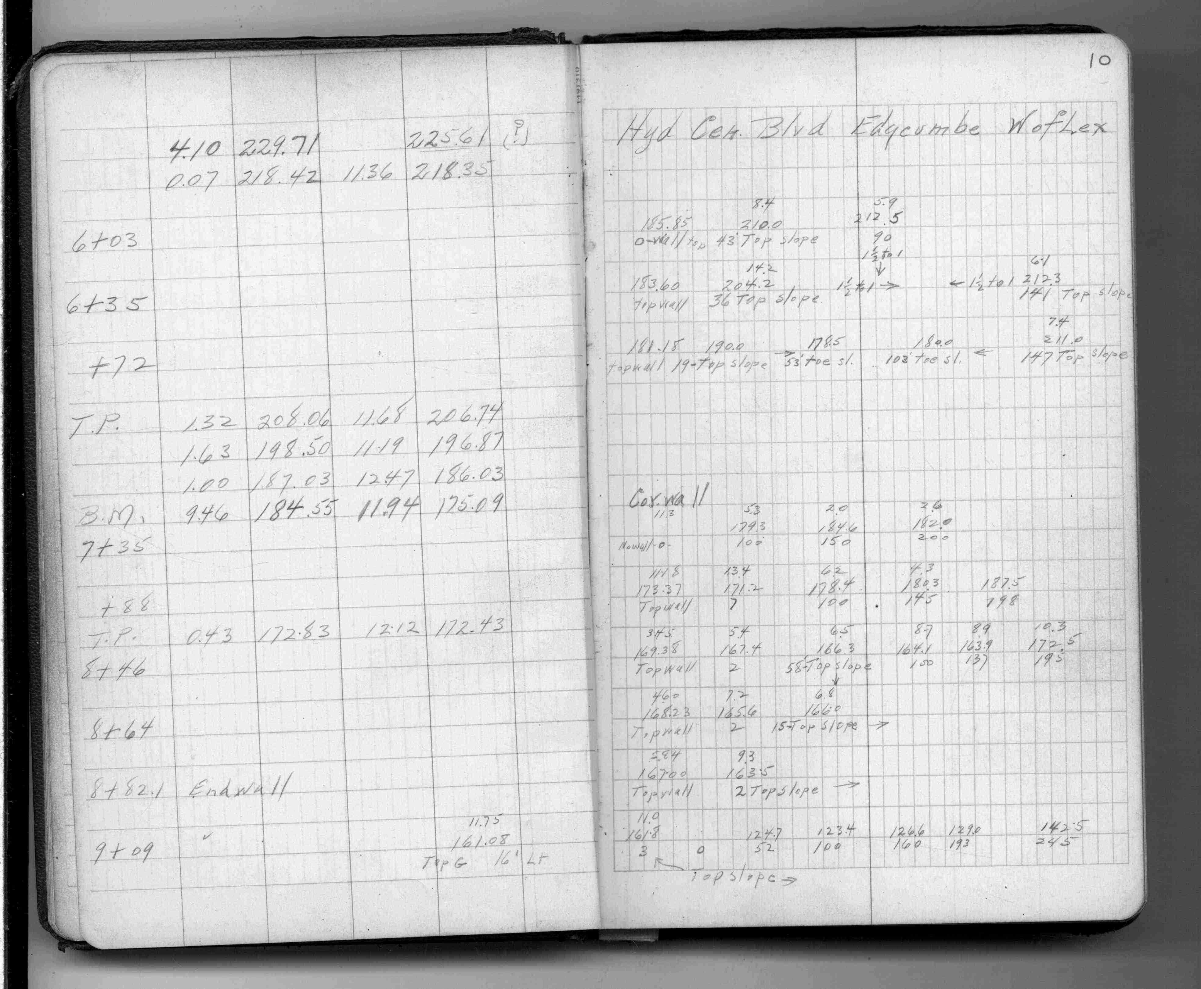
10
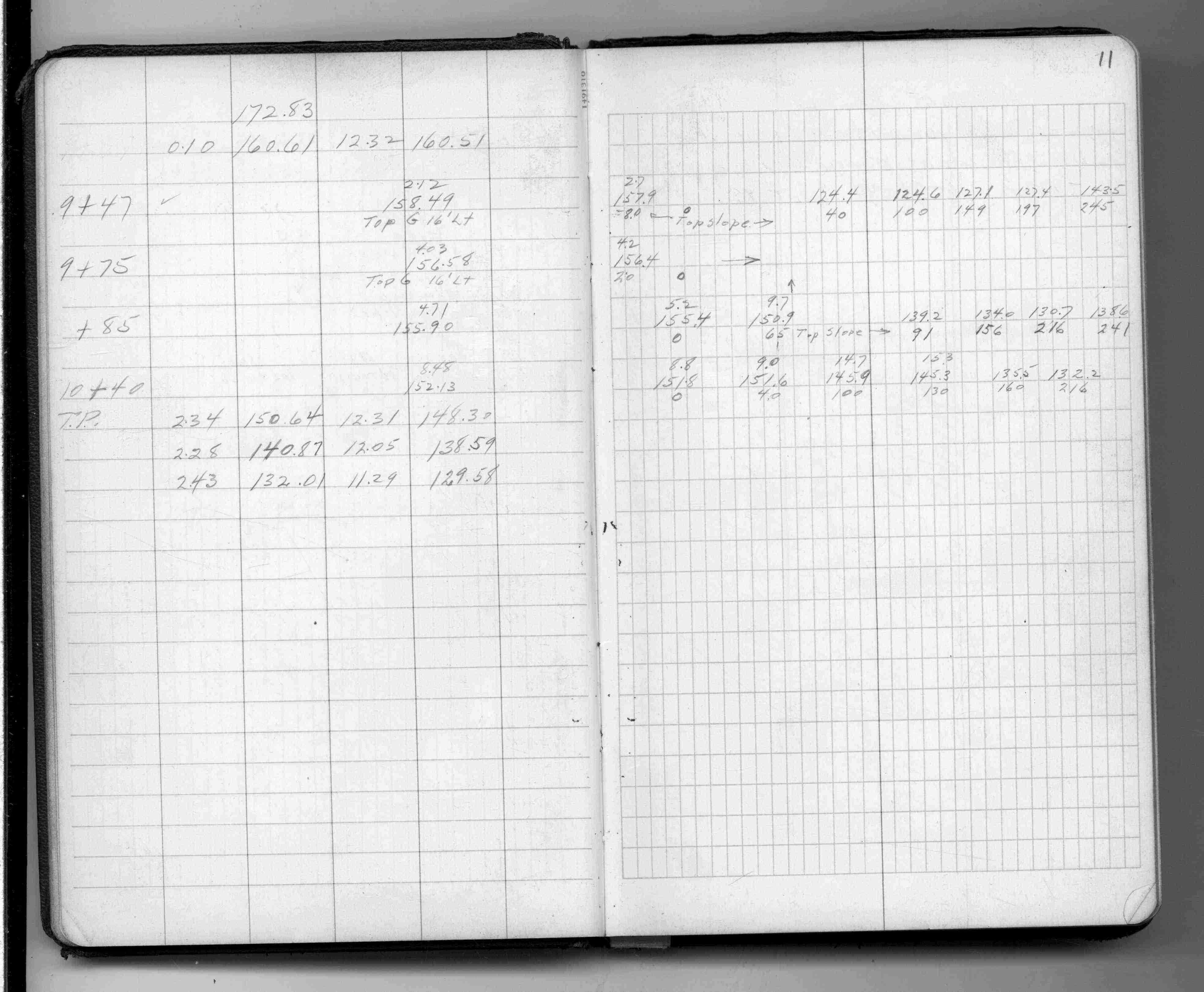
11
12
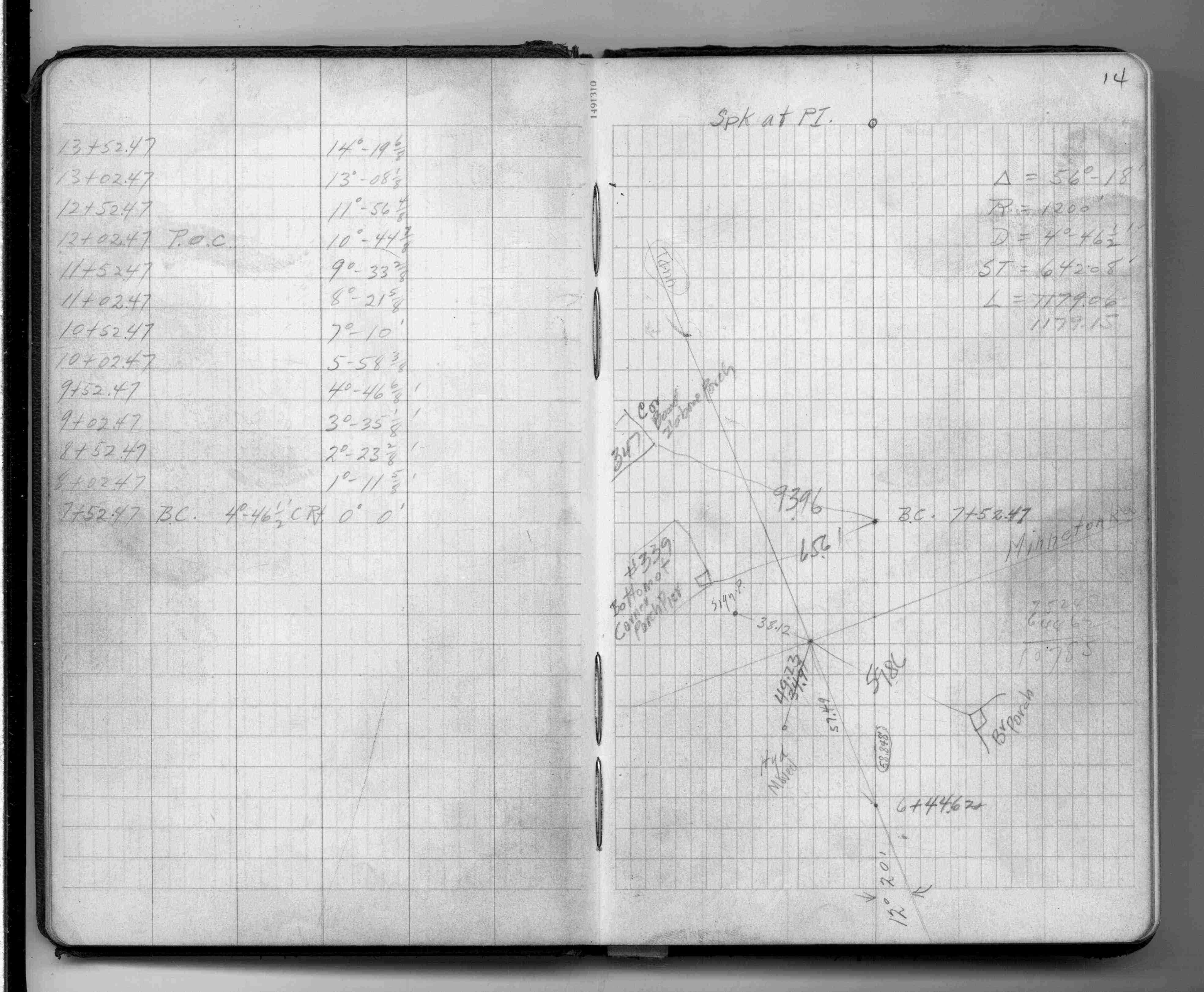
14
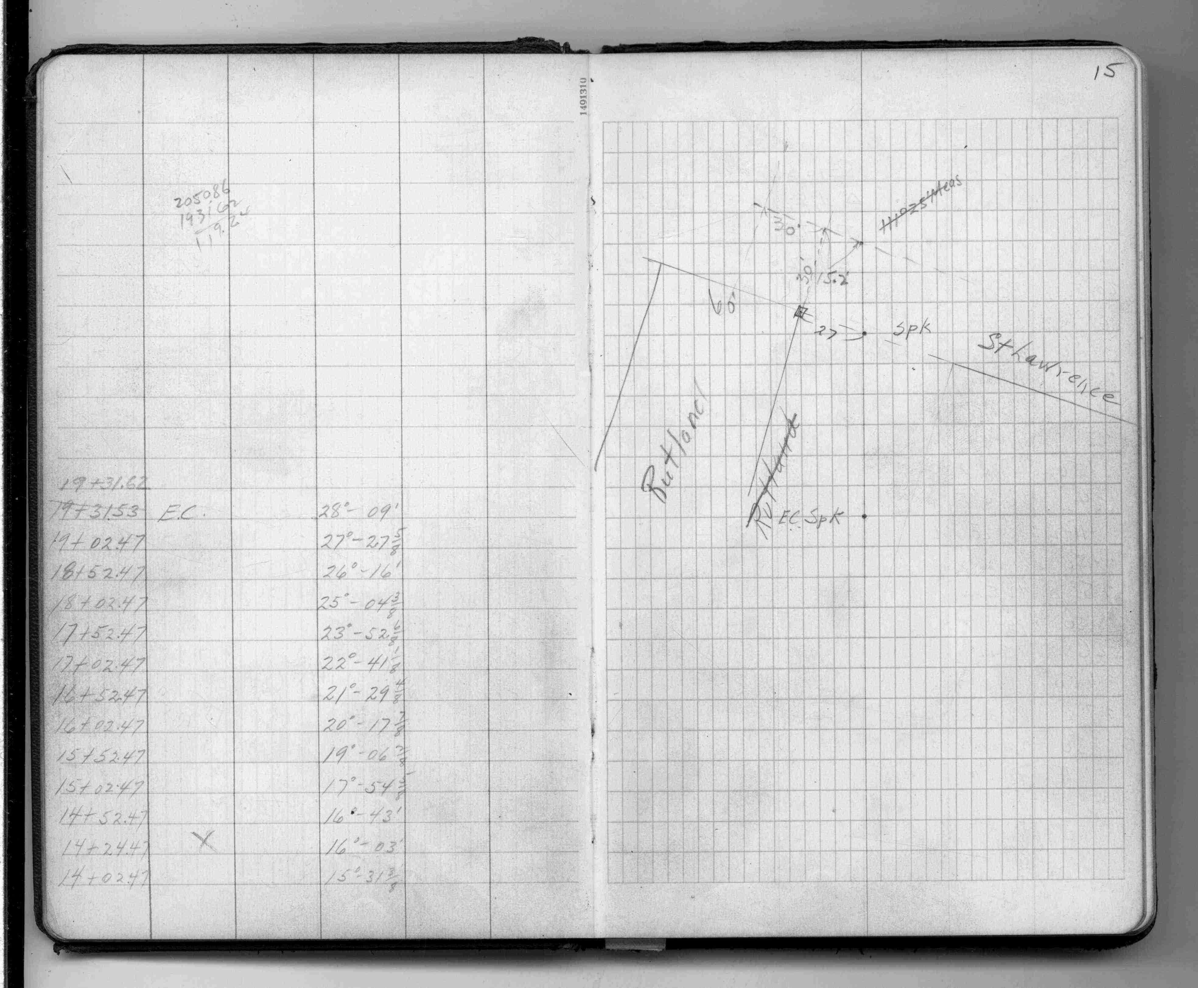
15
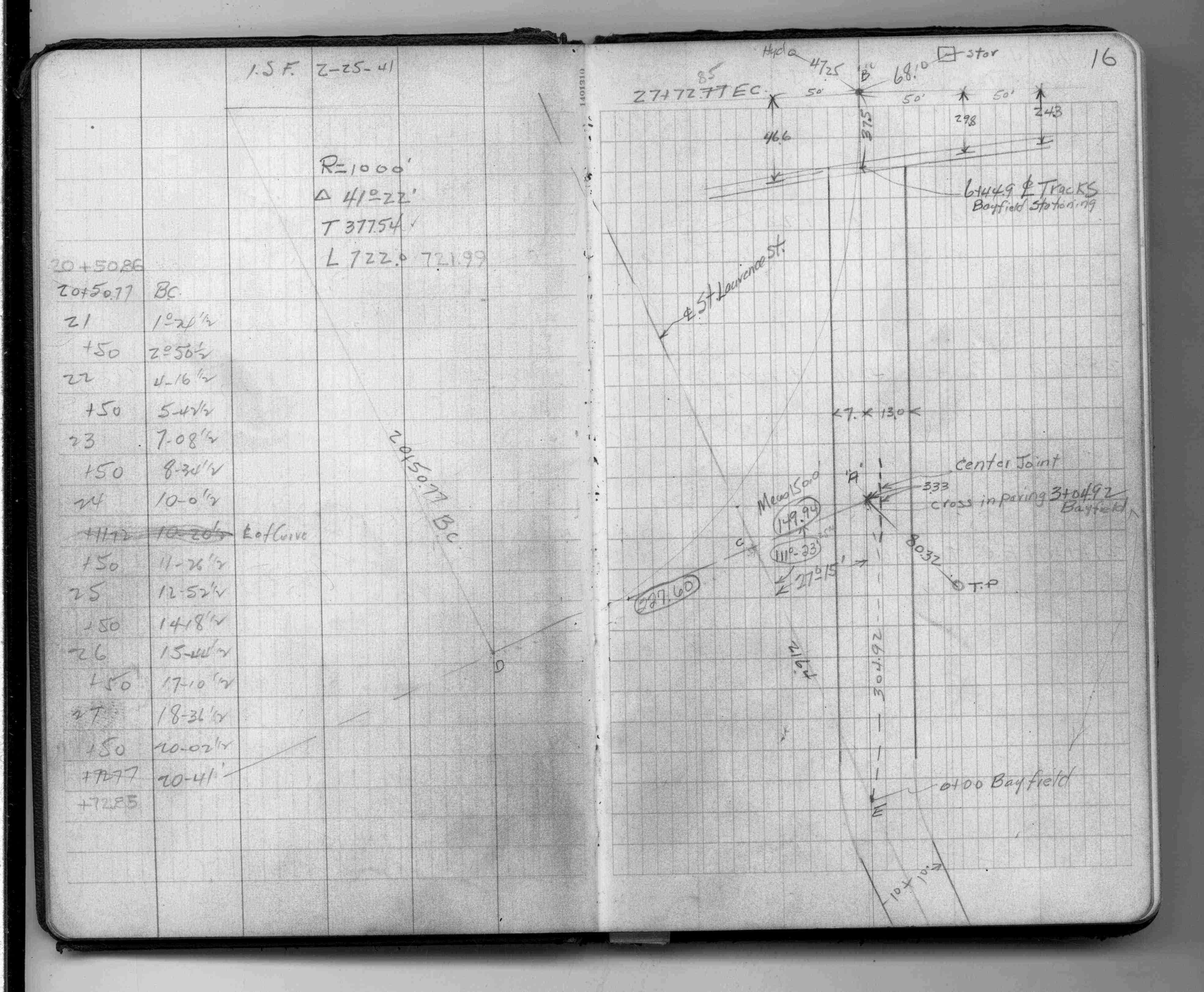
16
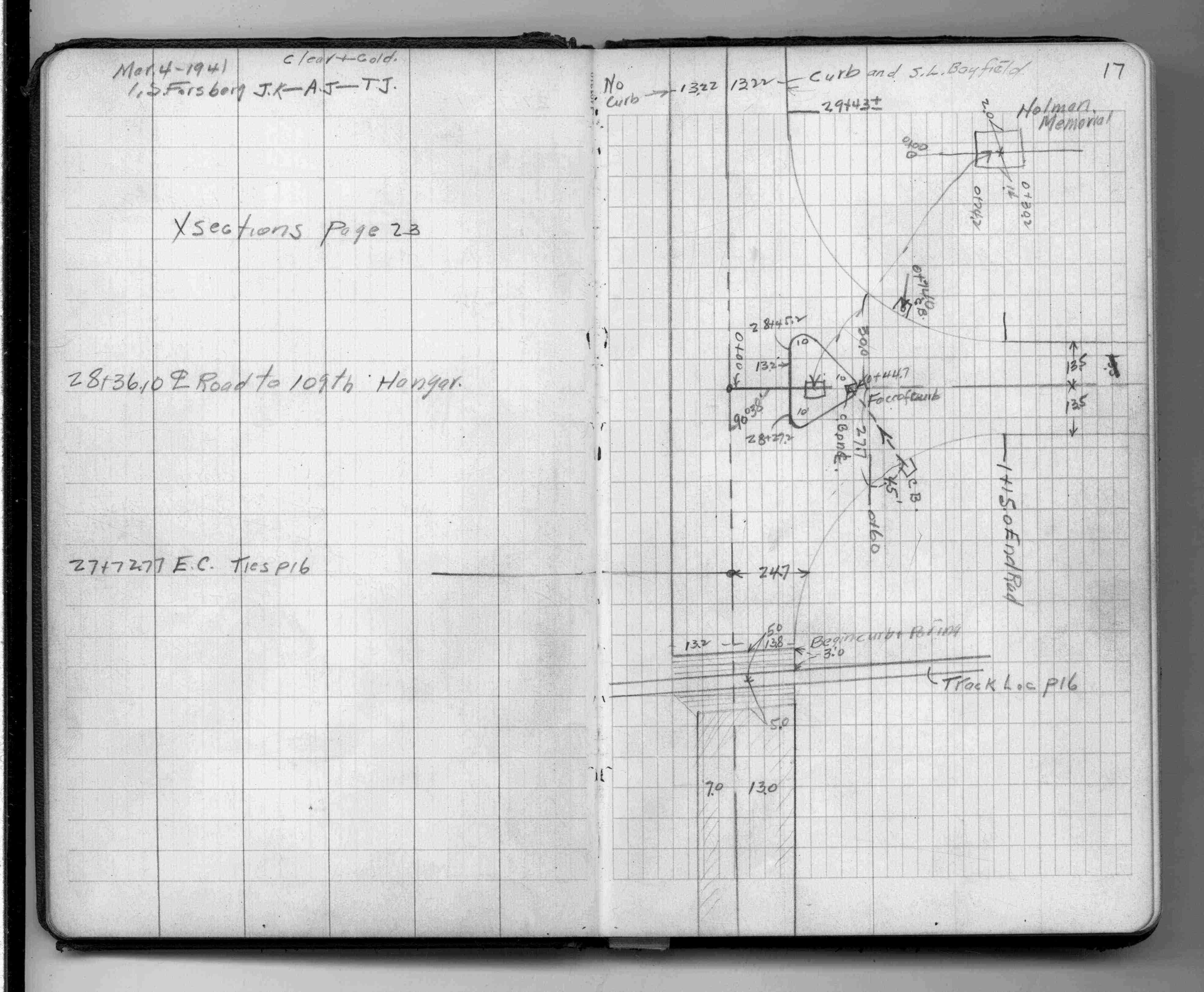
17
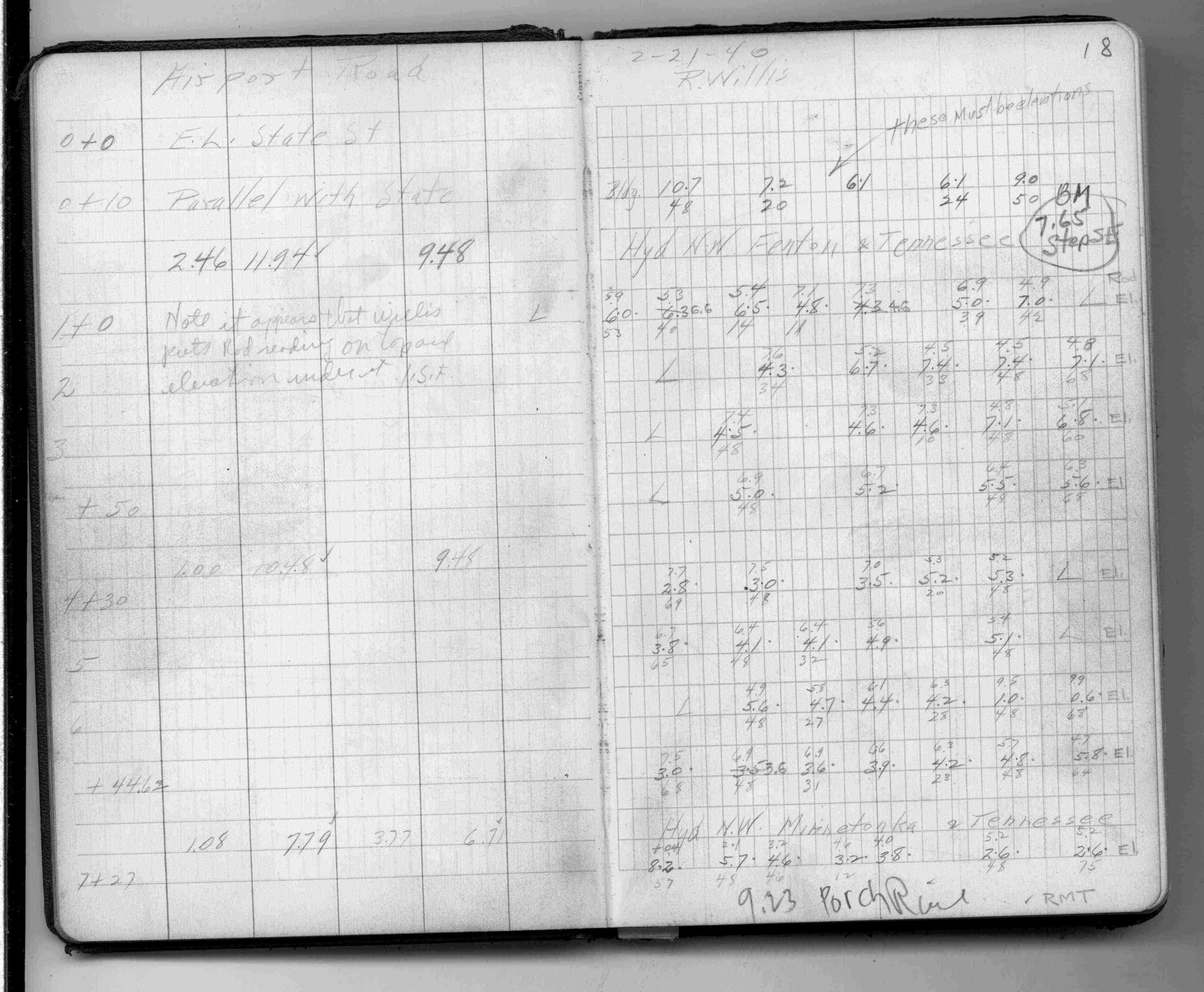
18
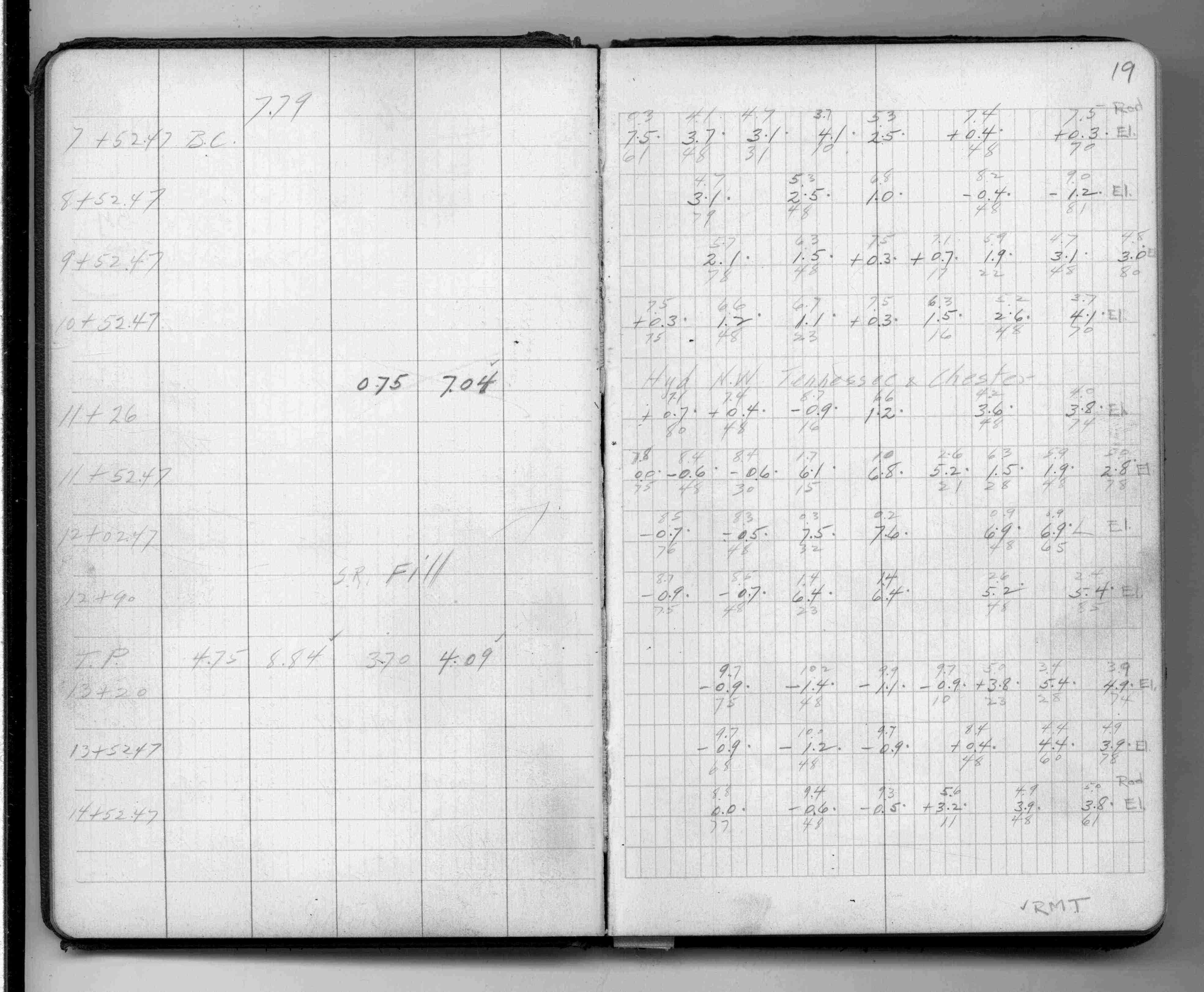
19
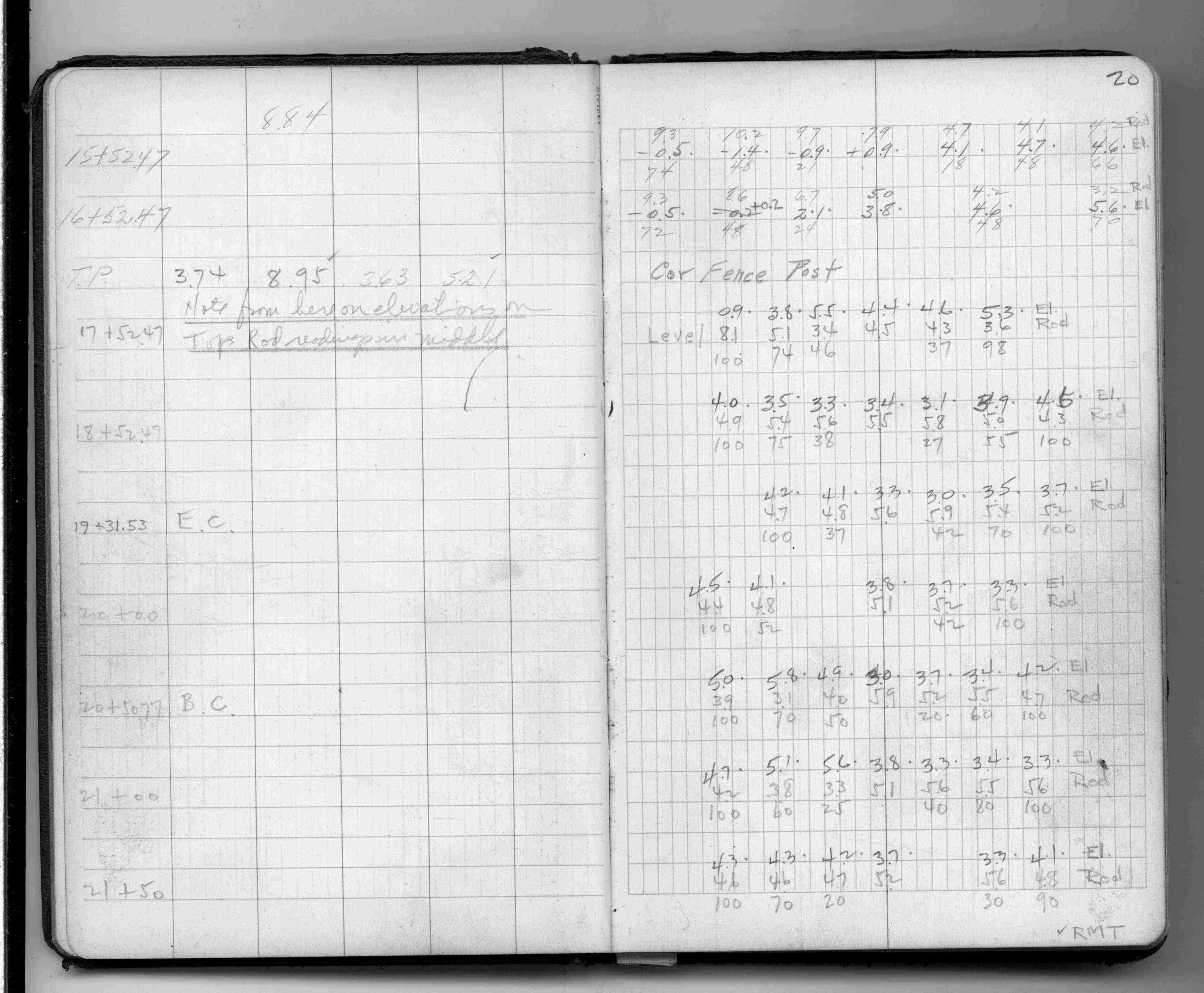
20
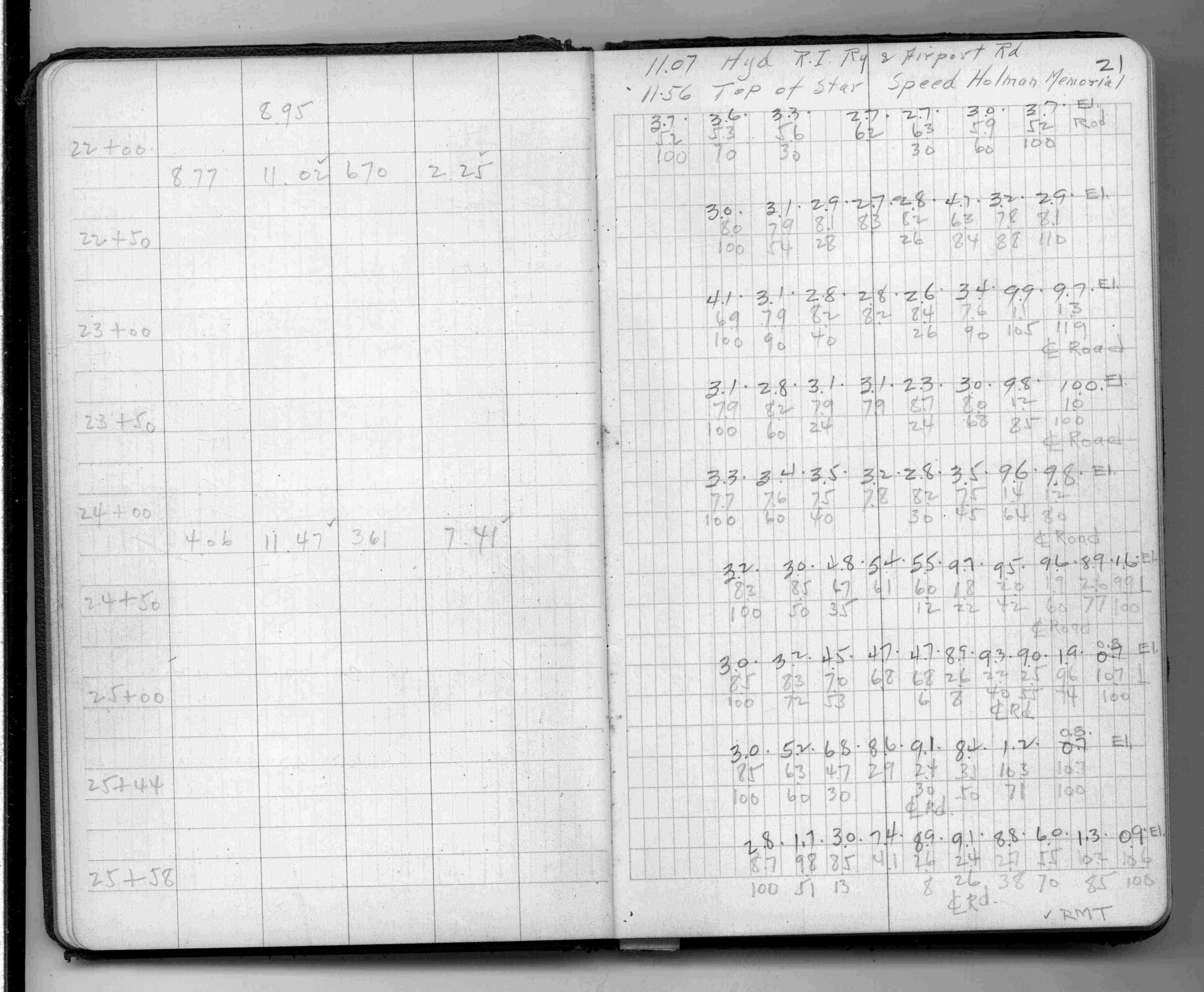
21
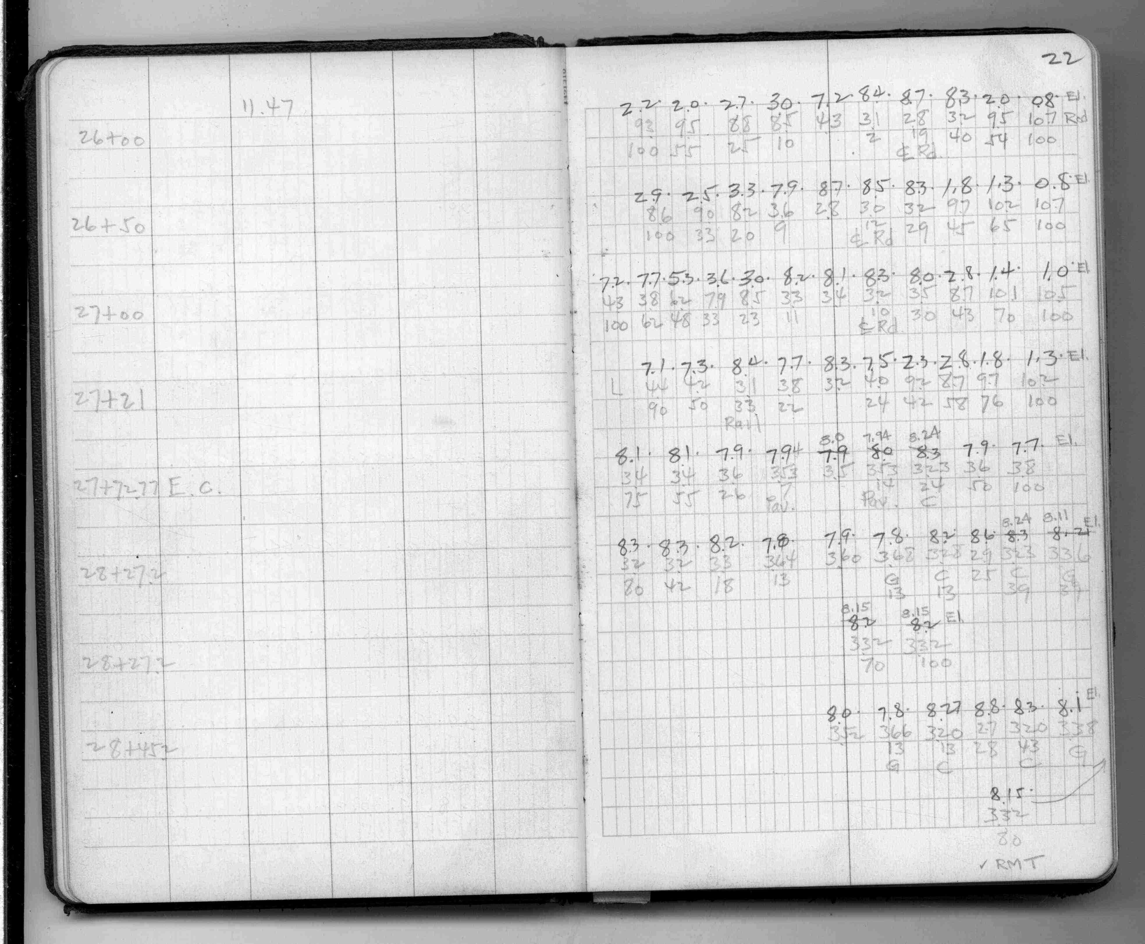
22
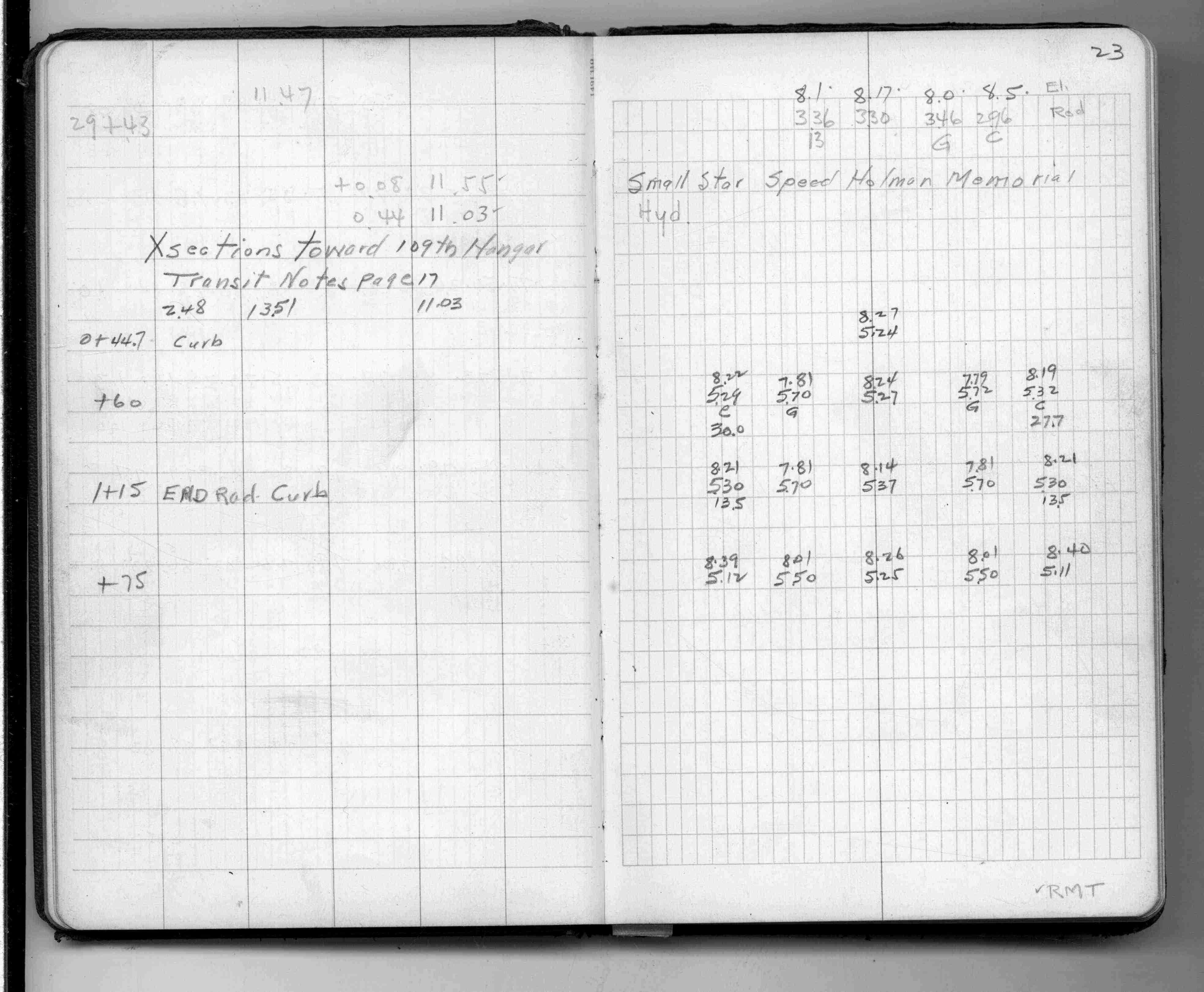
23
24
25
26
27
28
29
30
31
32
33
34
35
36
37
38
39
40
41
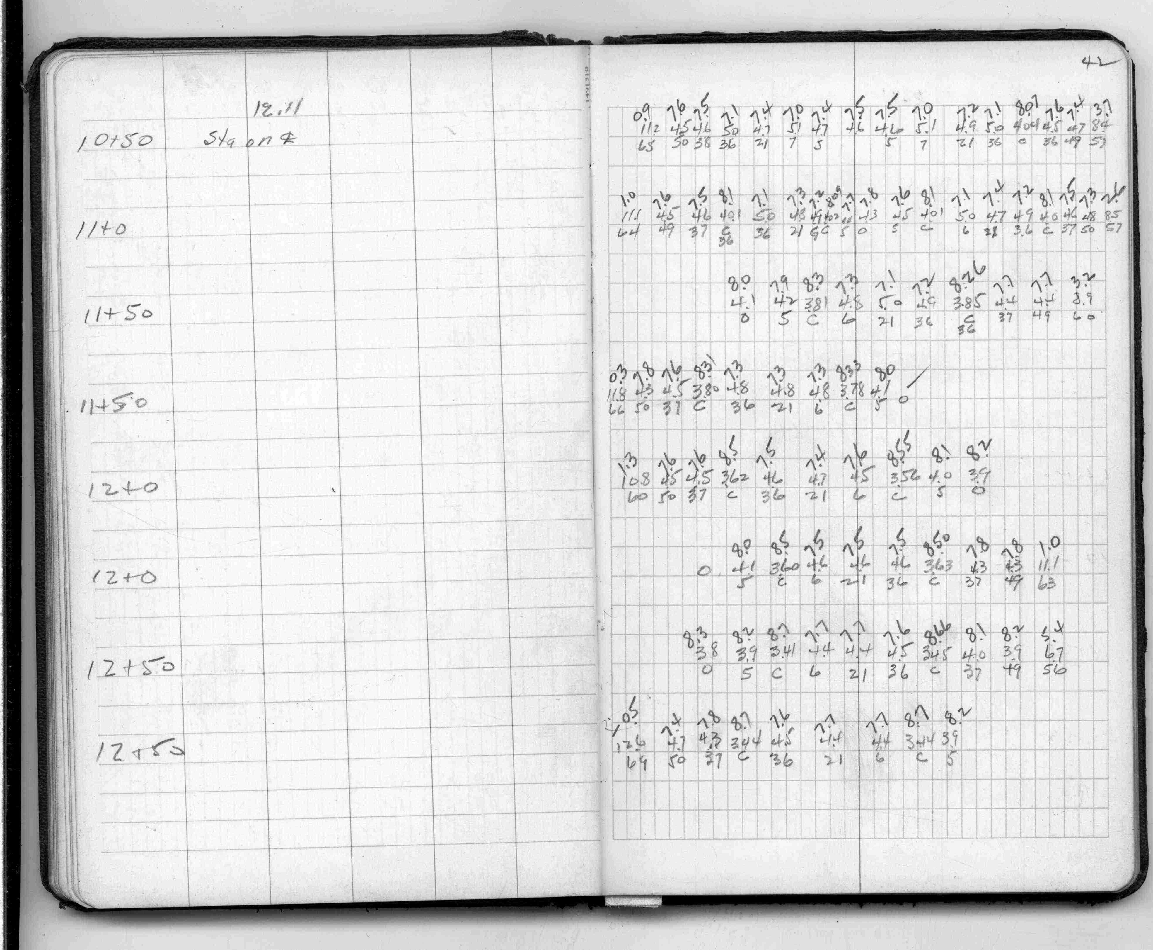
42
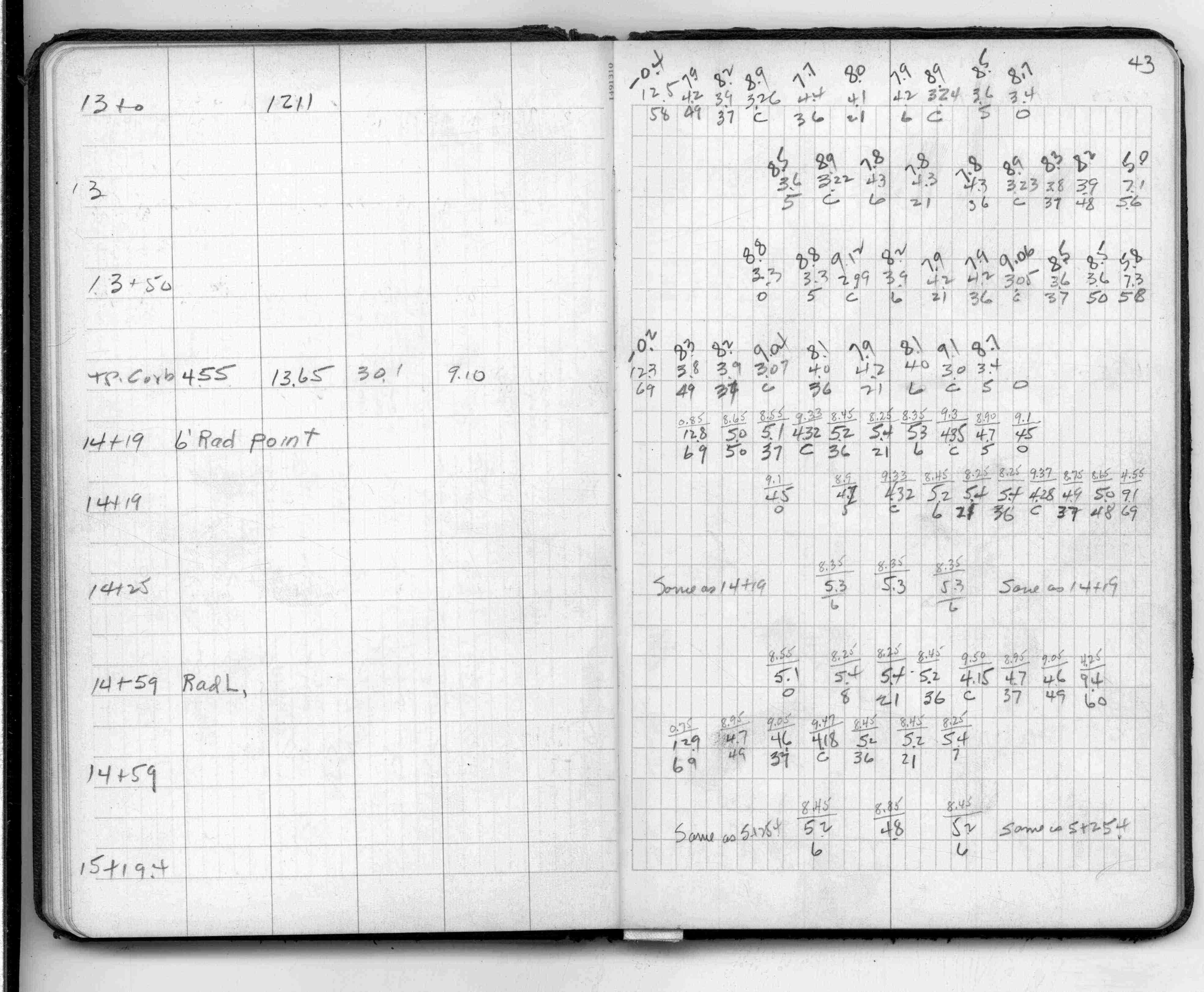
43
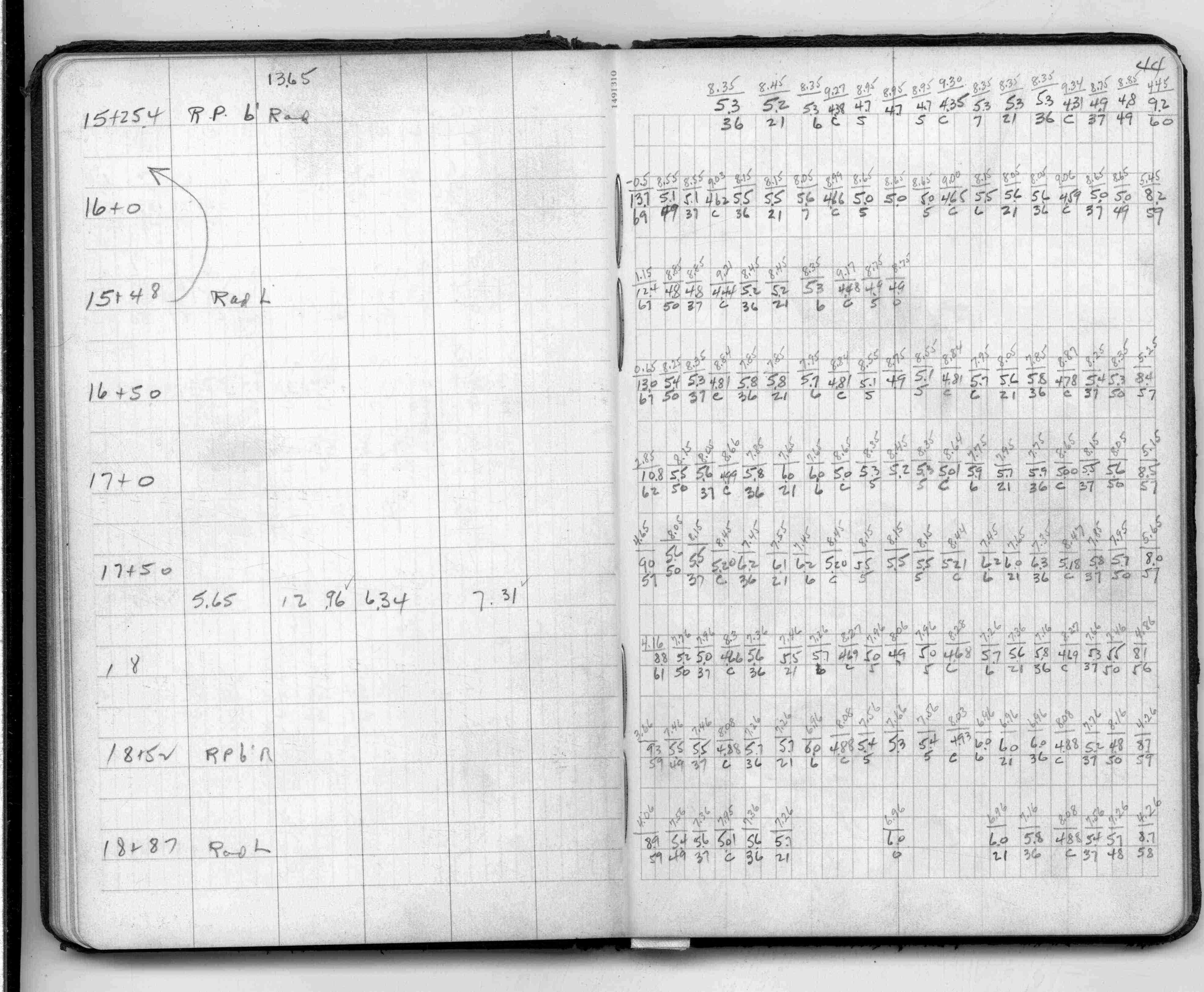
44
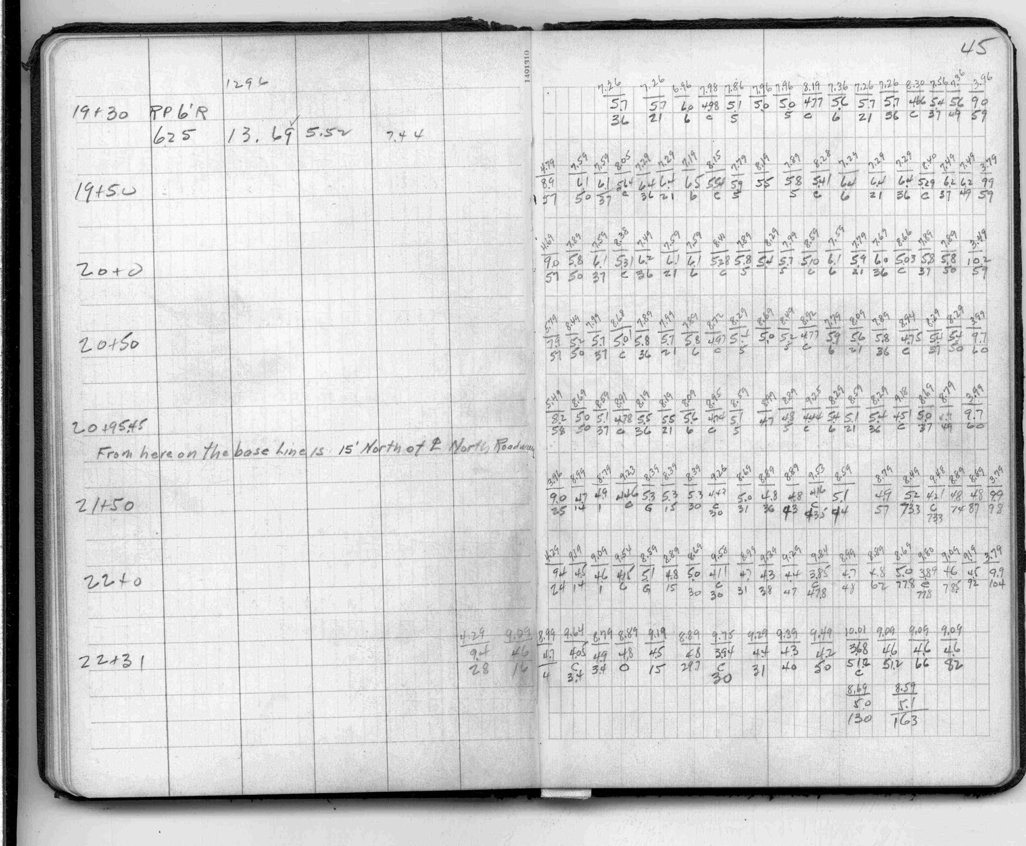
45
46
47
47
48
49
50
51
52
53
54
55
56
57
58
59
60
61
62
63
64
65
66
67
68
69
70
71
72
73
74
75
76
77
78
79