Page(s) 1
Index
FROM
Page 1
TO
Page 72
| Index | 0000-00-00 Page(s) 2-2a
Mississippi River
FROM
SE End of Navy Island Bridge
TO
Station 6
| X-Secs & Soundings | 1951-05-15 Page(s) 3-5
Line 50 ft Parallel to Harbor
FROM
Station 6+70.3
TO
Station 9+50
| X-Secs & Soundings | 0000-00-00 Page(s) 6-12
Mississippi River
FROM
from P2/Station +50
TO
Station 18+0 Left
| X-Secs & Soundings | 0000-00-00 Page(s) 14-20
Mississippi River
FROM
Station 12+00
TO
Station 22+50
| X-Secs & Soundings | 0000-00-00 Page(s) 21-23
Harriet Island
FROM
Wabasha Bridge
TO
US MON #4
| Locations | 0000-00-00 Page(s) 24-27
Approach Drive
FROM
Wabasha Bridge
| Cross Sections | 1951-08-29 Page(s) 28-29
Soundings
FROM
Mississippi River @ Wabasha Bridge
| Cross Sections | 1951-10-03 Page(s) 30-31
Approach Drive
FROM
Wabasha Bridge
| Cross Sections | 1951-08-29 Page(s) 32-34
Small Boat Harbor Line B
FROM
Station 0-34
TO
Station 16+00
| Cross Sections | 1951-10-17 Page(s) 35
Dike Area
| Tree Diameters | 1951-10-18 Page(s) 36-37
Wabasha Connection
FROM
Station 8+87(from P27-ApproachDr)
TO
Station 9+80
| Cross Sections | 0000-00-00 Page(s) 38-42
Sandfill Contract 50-M-246
FROM
Station 11+0
TO
Station 19+00
| Cross Sections | 0000-00-00 Page(s) 43-44
Harriet Island
FROM
Wabasha Bridge
TO
End Fence (Station 8+04.4)
| Fence Location | 1952-01-08 Page(s) 45-47
Wynne St (Ave)
FROM
Snelling Ave
TO
Hamline Ave
| Cross Sections | 1952-04-08 Page(s) 48-50
S Robert St
FROM
Chicago Ave (Vacated)
TO
Plato Ave
| Levels | 1952-04-15 Page(s) 51
Blank Page
FROM
Blank
TO
Blank
| Blank | 0000-00-00 Page(s) 52
Nortons Lincoln Park
FROM
Case Ave & Ruth St Hydrant
TO
LaCrosse Ave & Ruth St Hydrant
| Bench Marks | 1952-06-27 Page(s) 53
Fillmore St (Ave) & Custer St (Vac)
| Locations | 0000-00-00 Page(s) 54
Chicago Great Western Ry
FROM
Station 30.5
TO
Station 8+35.4 (By Pure Oil)
| Locations | 0000-00-00 Page(s) 55-60
Hazelwood St
FROM
Maryland Ave
TO
Ames Ave
| Cross Sections | 1952-08-04 Page(s) 61
Hazelwood St & Ames Ave
| Cross Sections | 0000-00-00 Page(s) 62
Ames Ave
FROM
Hazelwood Ave
TO
190 ft E of Hazelwood St
| Cross Sections | 0000-00-00 Page(s) 63
Ninth (9th) St & Smith Ave
| Levels | 1952-08-15 Page(s) 64
Ninth (9th) St
FROM
Smith Ave
TO
North 100 ft
| Cross Sections | 0000-00-00 Page(s) 65
Smith Ave
FROM
Ninth (9th) St
TO
West 93 ft
| Cross Sections | 0000-00-00 Page(s) 66-69
Norfolk Ave (S Side)
FROM
Cleveland Ave
TO
Kenneth St
| Locs & X-Secs | 1953-02-03 Page(s) 70
Norfolk Ave (N Side)
FROM
Drive (Station 1+75)
TO
Alley (Station 4+67)
| Locations | 0000-00-00 Page(s) 71
Rome Ave
FROM
Howell Ave
TO
Fairview Ave
| Locations | 1953-09-09 Page(s) 72
Pt Douglas Add Alley B1
FROM
Pt Douglas Road
TO
McLean St (Ave)
| Locs for Opening | 1955-07-12 Page(s) 73
Atwater St & Western Ave
| Ties & Locations | 1949-07-25 Page(s) 74-75
Blank Pages
FROM
Blank
TO
Blank
| Blank | 0000-00-00 Page(s) 76
Unknown Location
FROM
Unknown Location
TO
Unknown Location
| Levels | 0000-00-00 Page(s) 77
Harriet Island Area
FROM
Hyd Moses St (Vac) & Water St
TO
Hyd W of Boat House
| Bench Marks | 0000-00-00 Page(s) 78
Calculations
FROM
Calculations
TO
Calculations
| Calculations | 0000-00-00
1
2
3
4
5
6
7
8
9
10
11
12
14
15
16
17
18
19
20
21
22
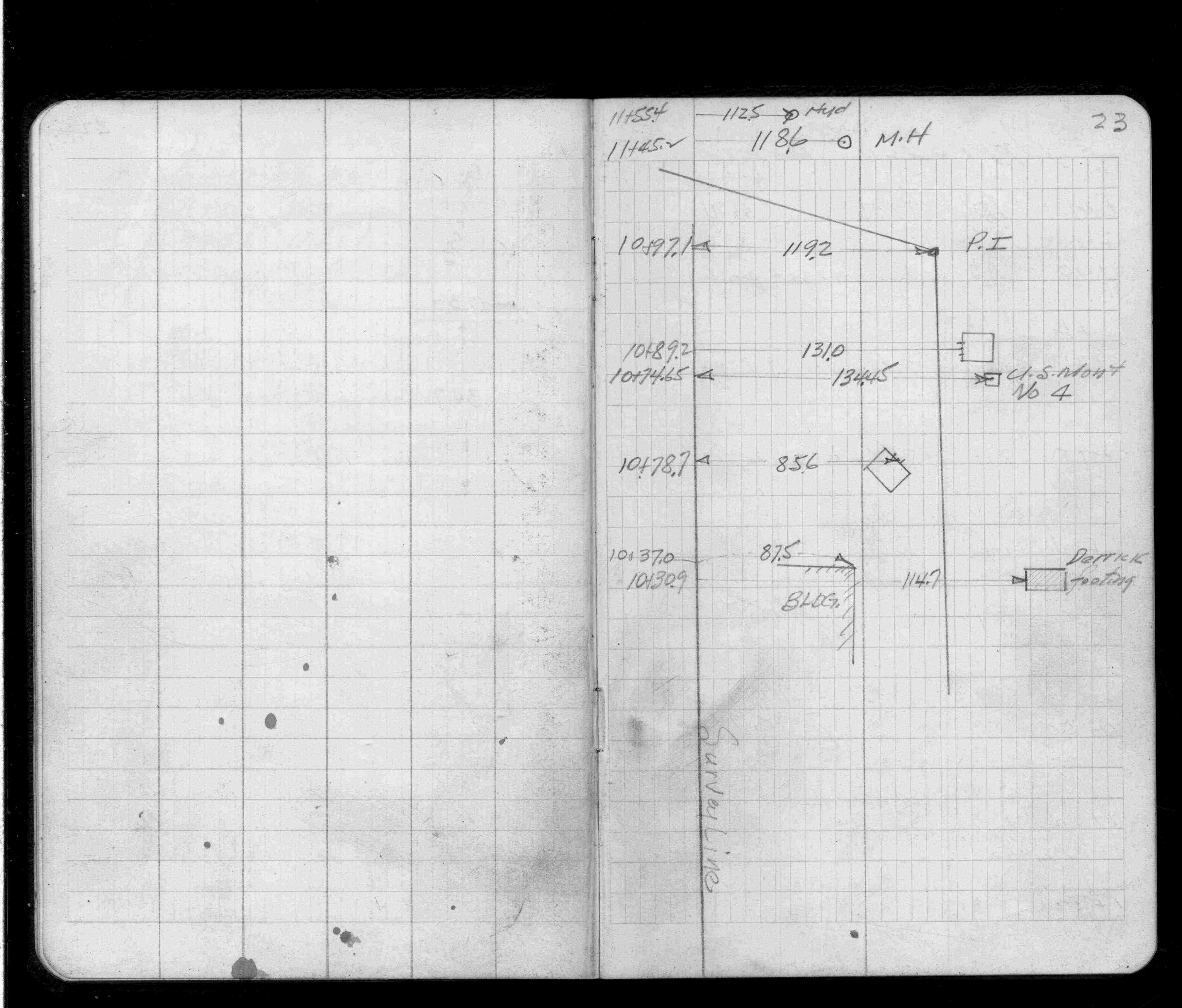
23
24
25
26
27
28
29
30
31
32
33
34
35
36
37
38
39
40
41
42
43
44
45
46
47
48
49
50
52
53
54
55
56
57
58
59
60
61
62
63
64
65
66
67
68
69
70
71
72
73
77
78