| NAD83 COORDINATES (1986 adj.): |
|---|
| * X= 584769.85 Y= 168144.29 Z= 0 LSQ 12/6/1991 S FLT |
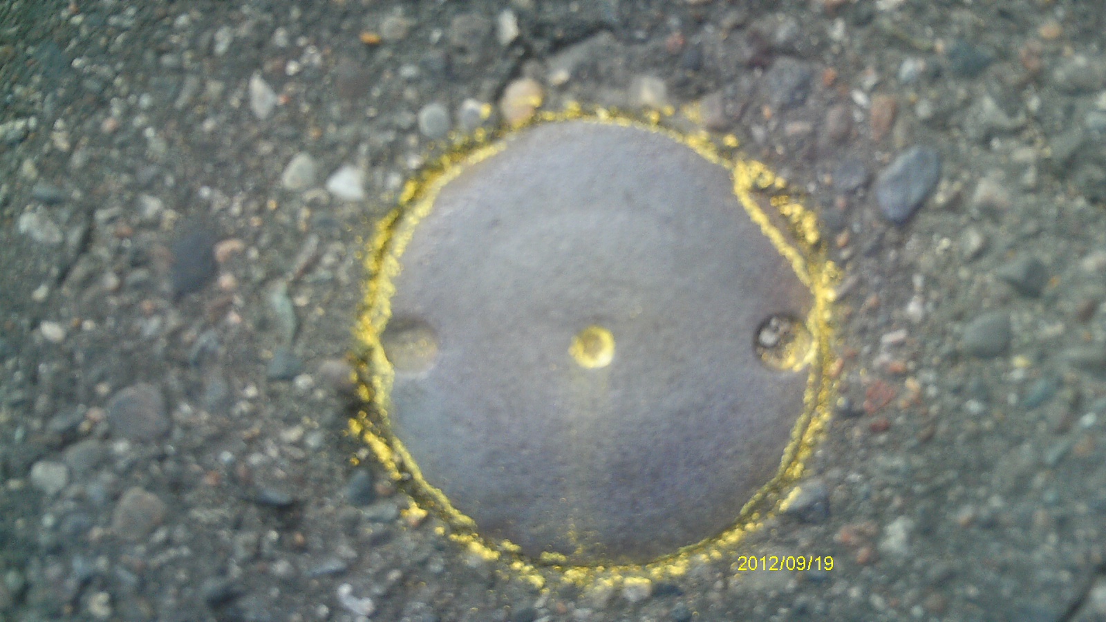
| 9/19/2012 | Found CIM at street grade. Photos taken. |
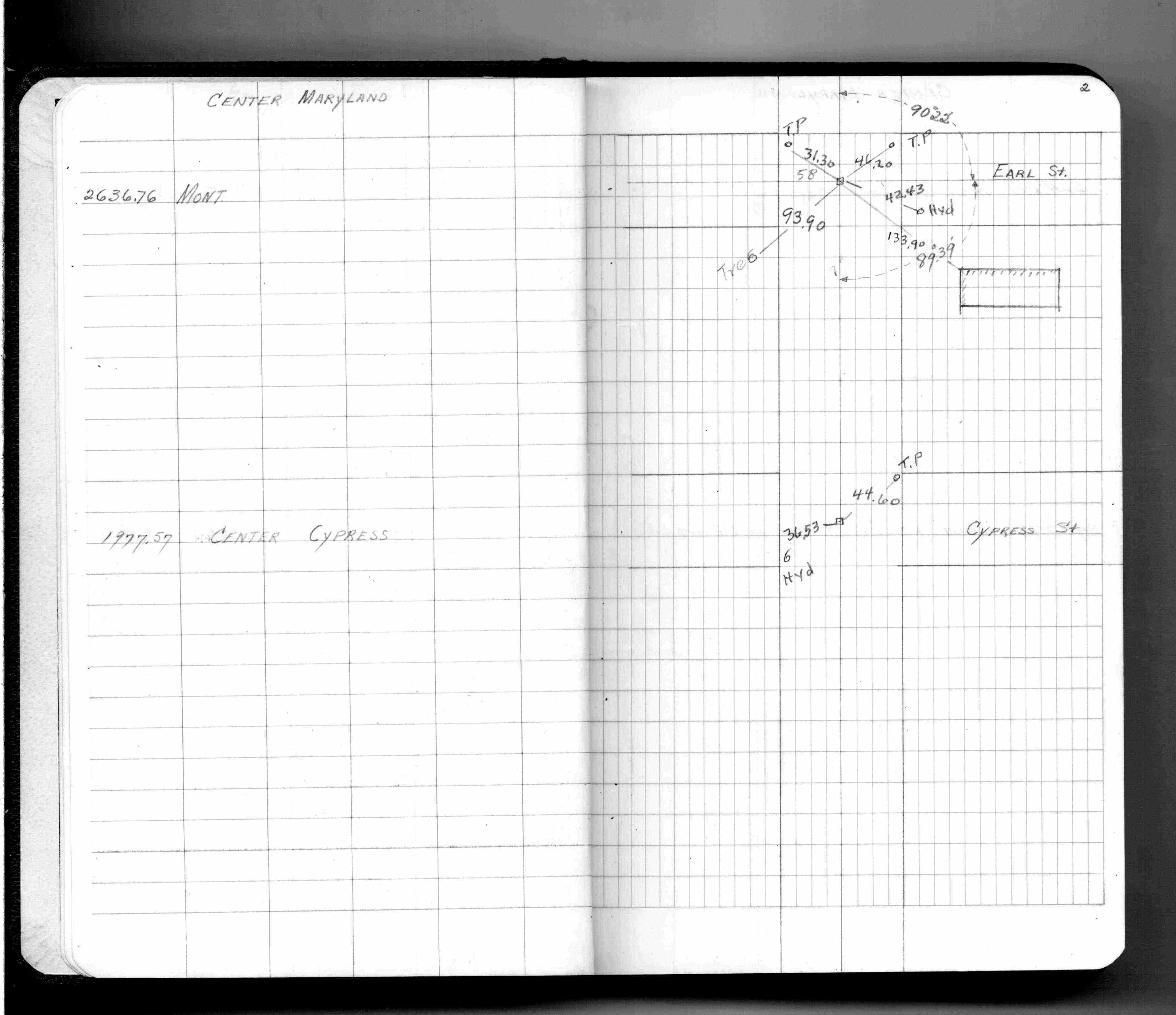
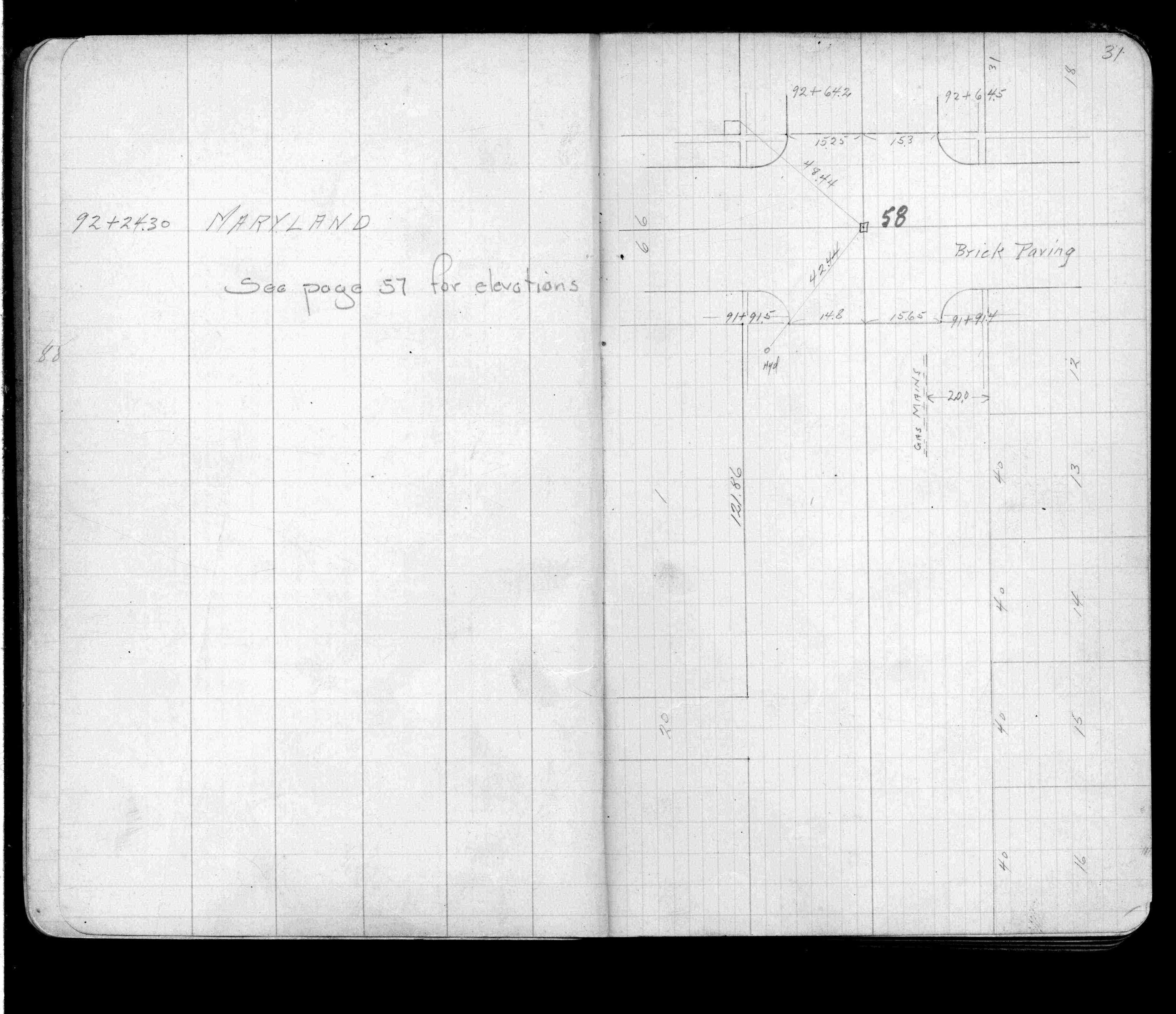
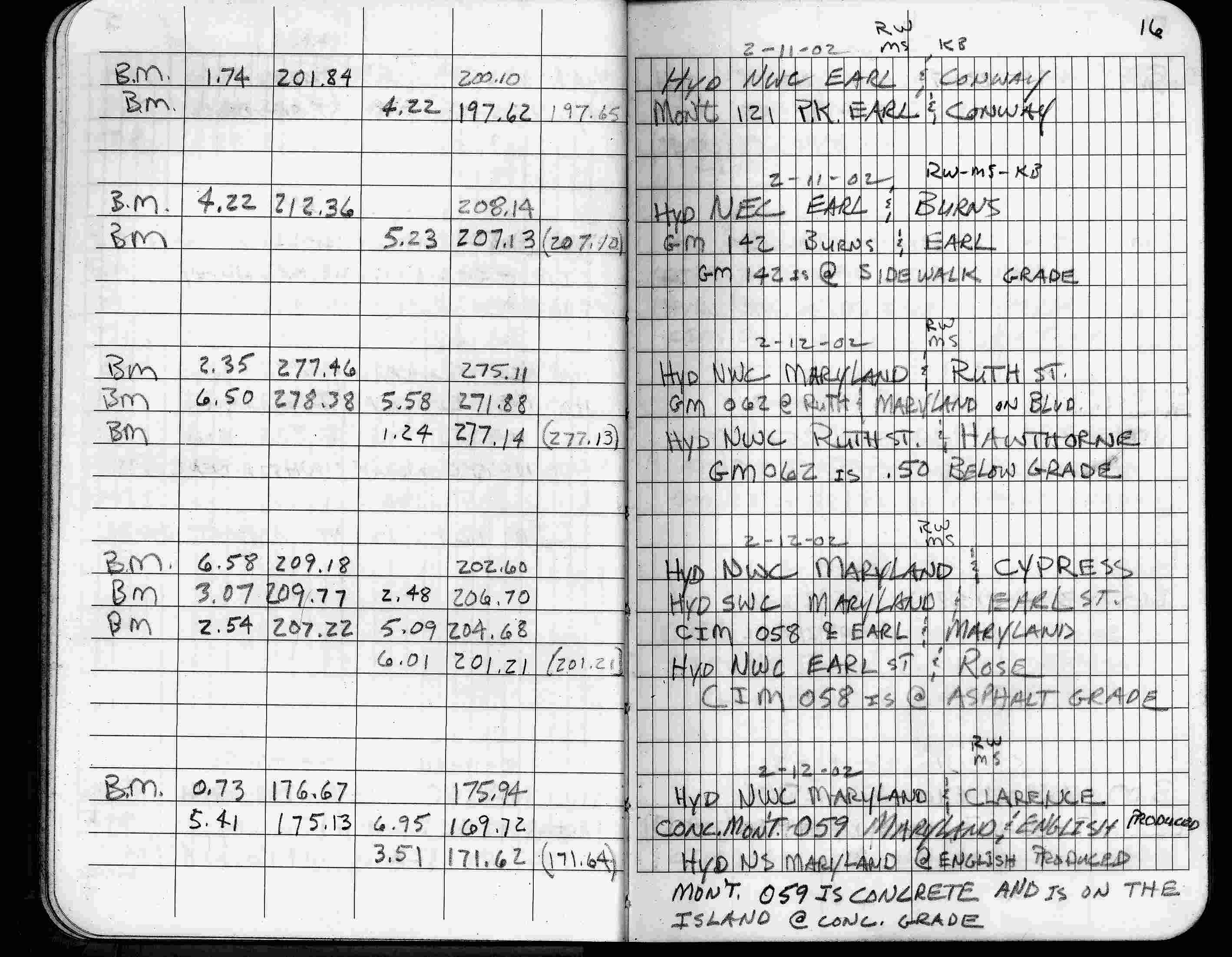
| 2/12/2002 | Elev 204.68 ft on CIM at asphalt surface. See FB 1736 p.16 |
| 3/17/2000 | Fd CIM at grade (marked for painting target for 2000 aerial) |
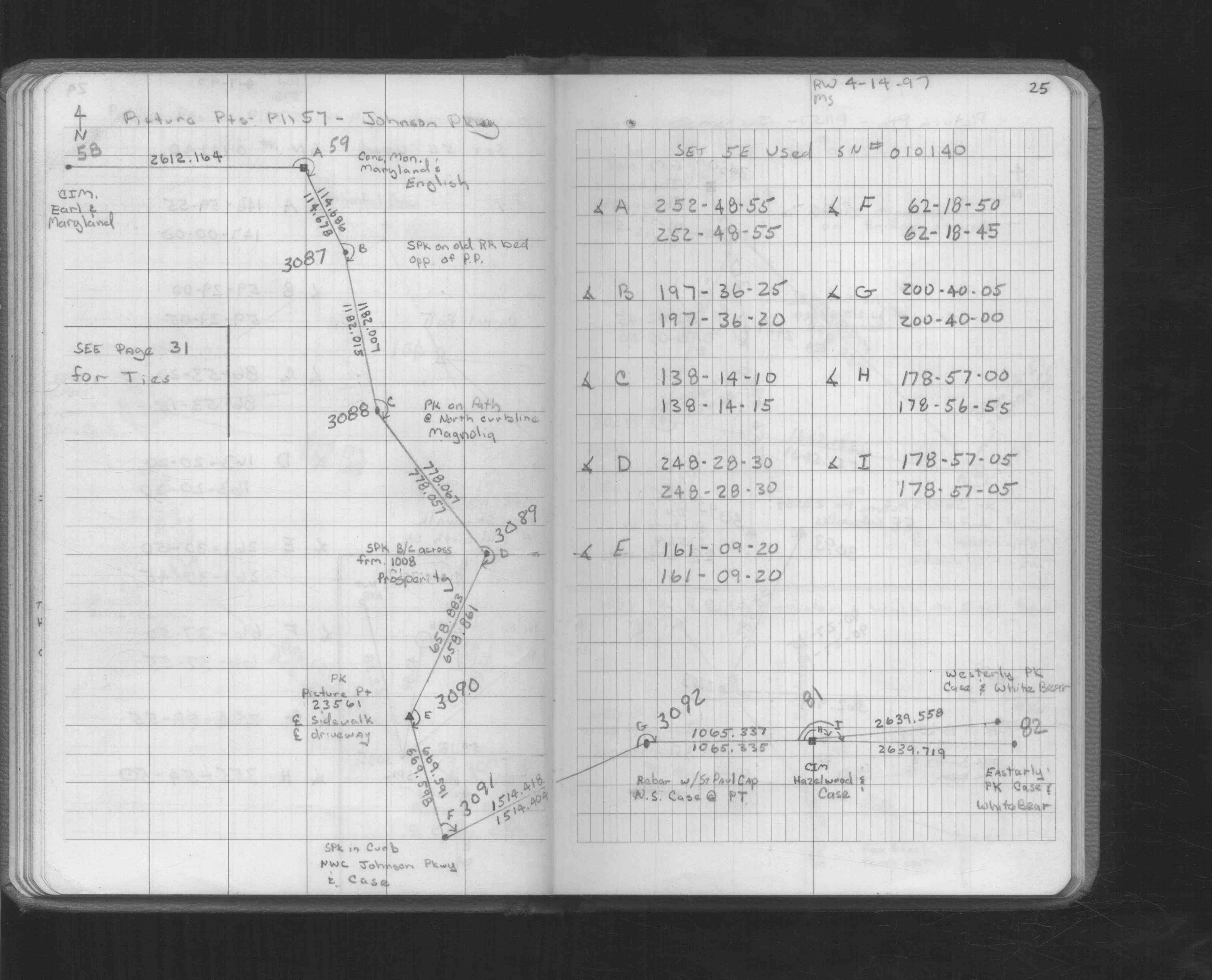
| 4/14/1997 | Used CIM for traverse control. See FB 1549L p.25 |
| 3/26/1997 | Elev 204.67 ft on CIM. See acorddat/1997/p1157/p1157.sdr Digital-Unadj |
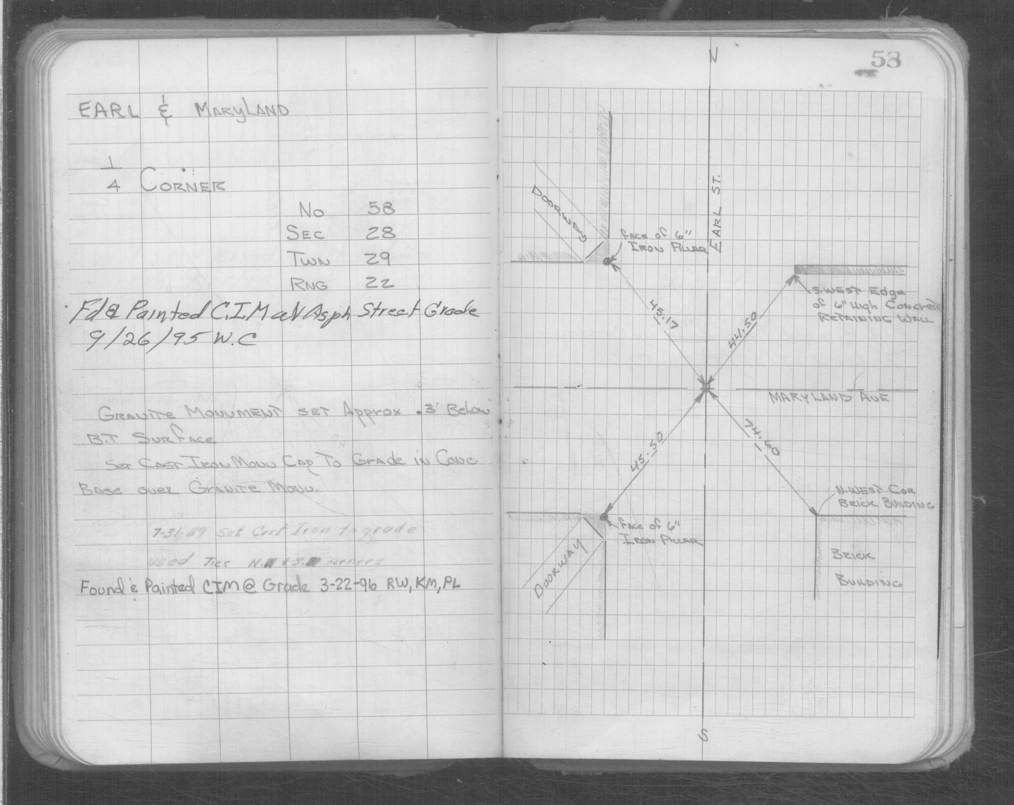
| 6/23/1993 | Fd CIM & tied. See CofL 0058-0027-A |
| 7/1/1989 | (Unknown date Jul __, 1989 ) CIM set to grade. |
| 4/1/1982 | (Unknown date Apr __, 1982 ) Elev 204.95 ft on CLCL. See FB 1421A p.27 |
| 4/1/1982 | (Unknown date Apr __, 1982 ) Elev 204.70 ft on CLCL. See FB 1421A p.21 |
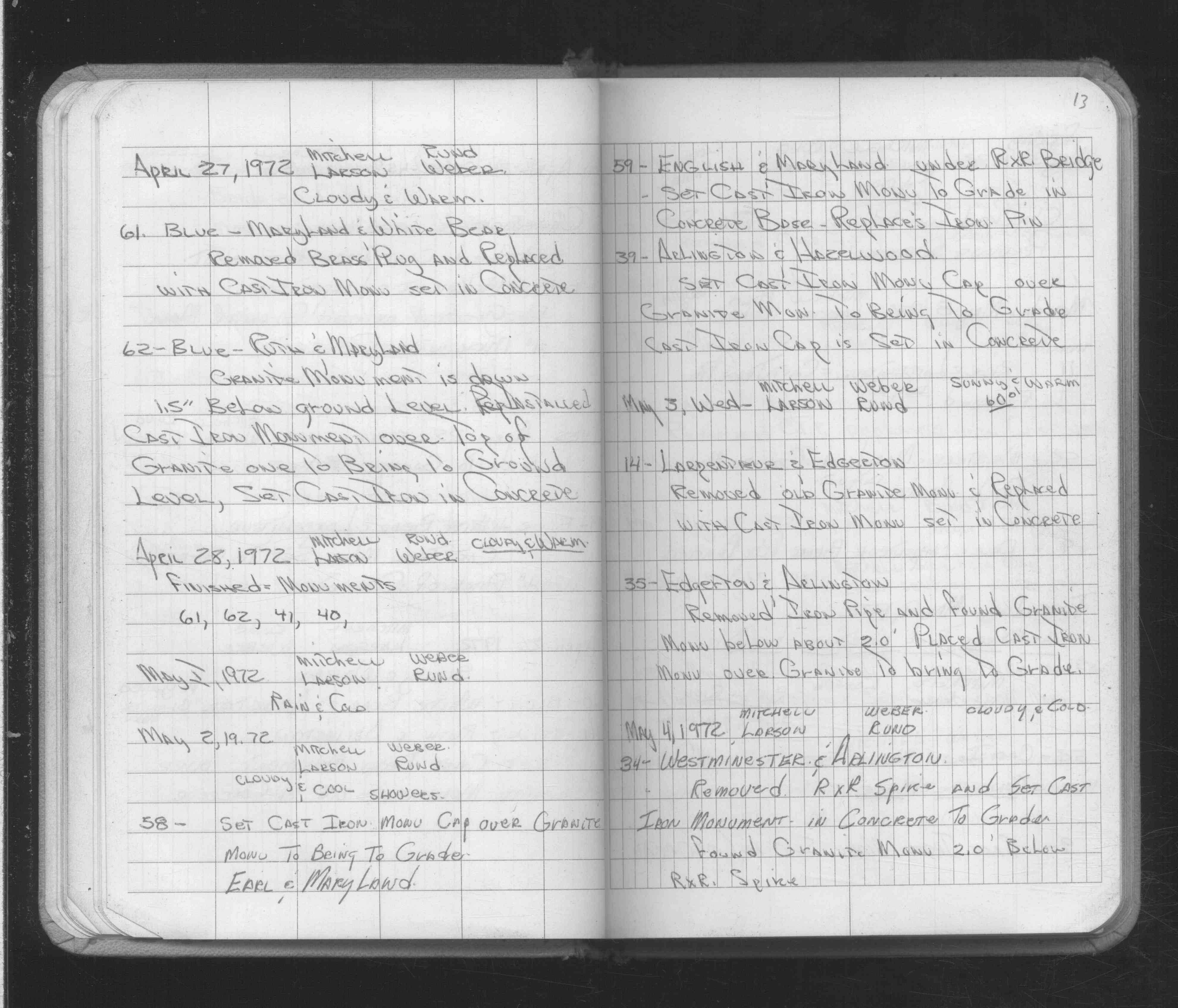
| 5/2/1972 | Set CIM cap over GM to bring to grade. See FB 1689A p.13 |
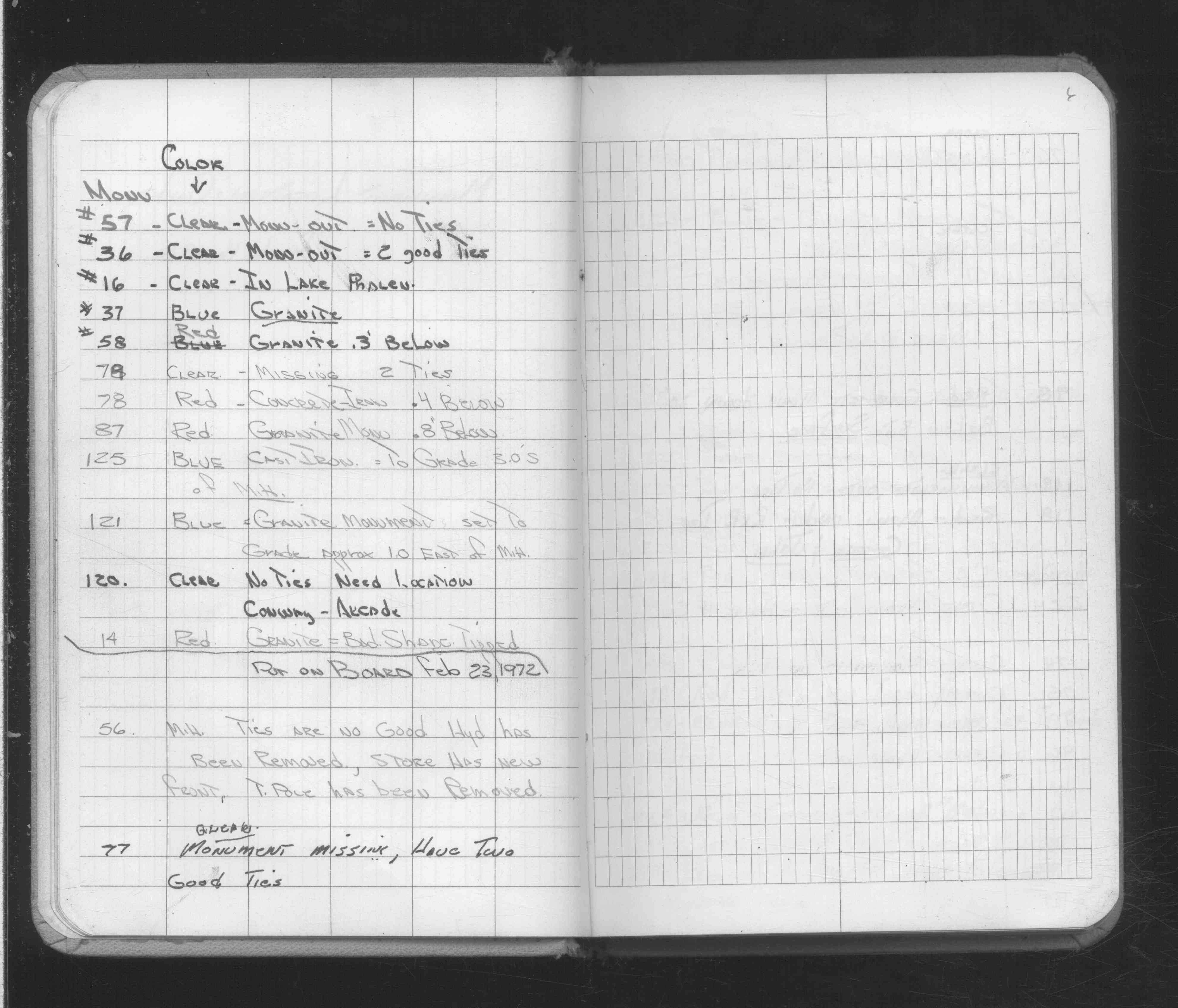
| 2/16/1972 | Fd GM 0.3 ft below grade. See FB 1689A p.6 |
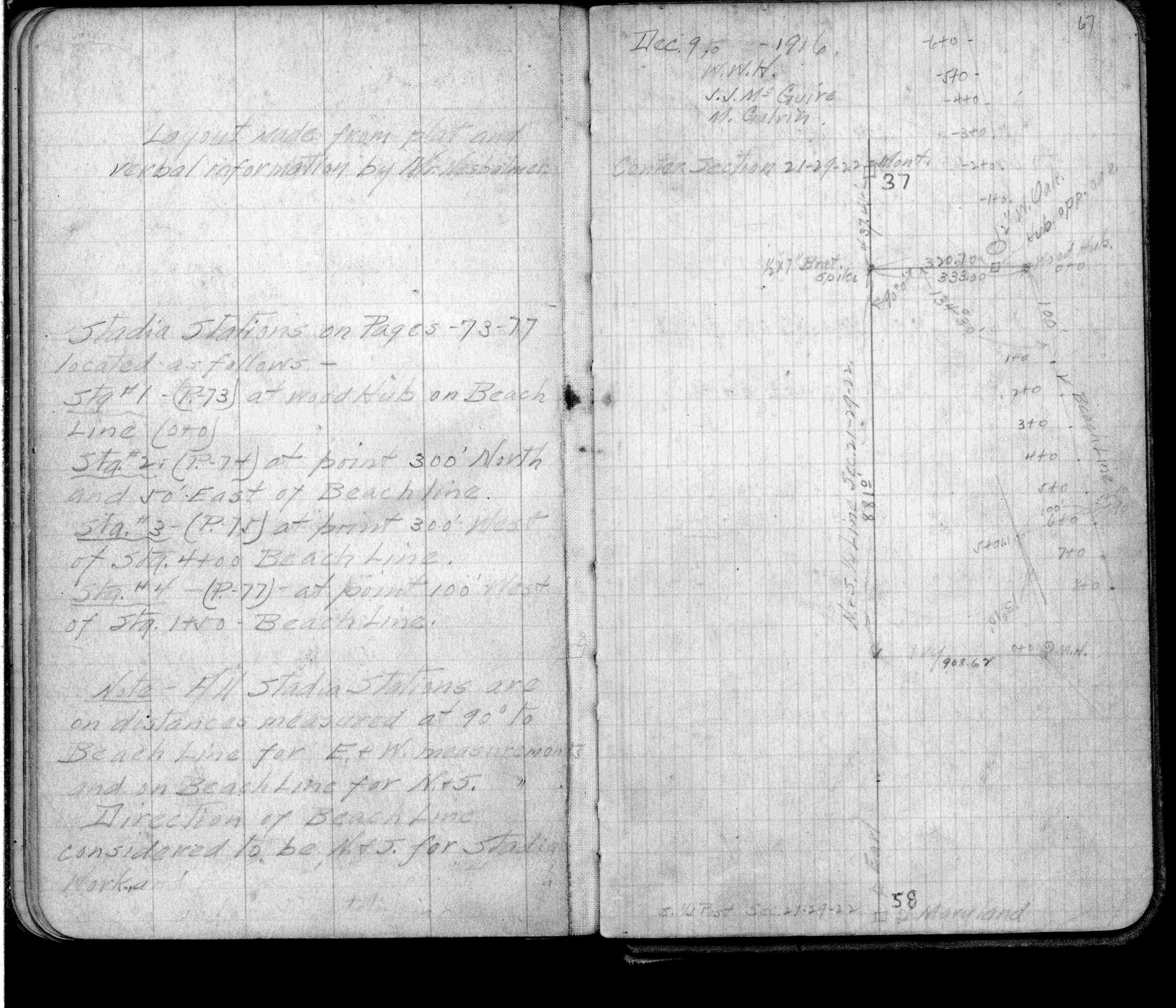
| 2/1/1923 | (Unknown date Feb __, 1923 ) Placed ties. See FB 1055 p.31 |
| 2/4/1890 | Monument not disturbed by grading - Chas A Hunt |
| 2/14/1889 | Monument reset after grading by Chas Hunt |
| 11/1/1847 | (Unknown date Nov __, 1847 ) Isaac N Higbee deputy surveyor set post. Tied to 1 BT. See IH p.200-201 2922 |
| 1/1/1800 | (Unknown date ___ __, ____ ) Monument set by J H Armstrong |
Above is NOT an all inclusive history of this point. Please review all the links below.
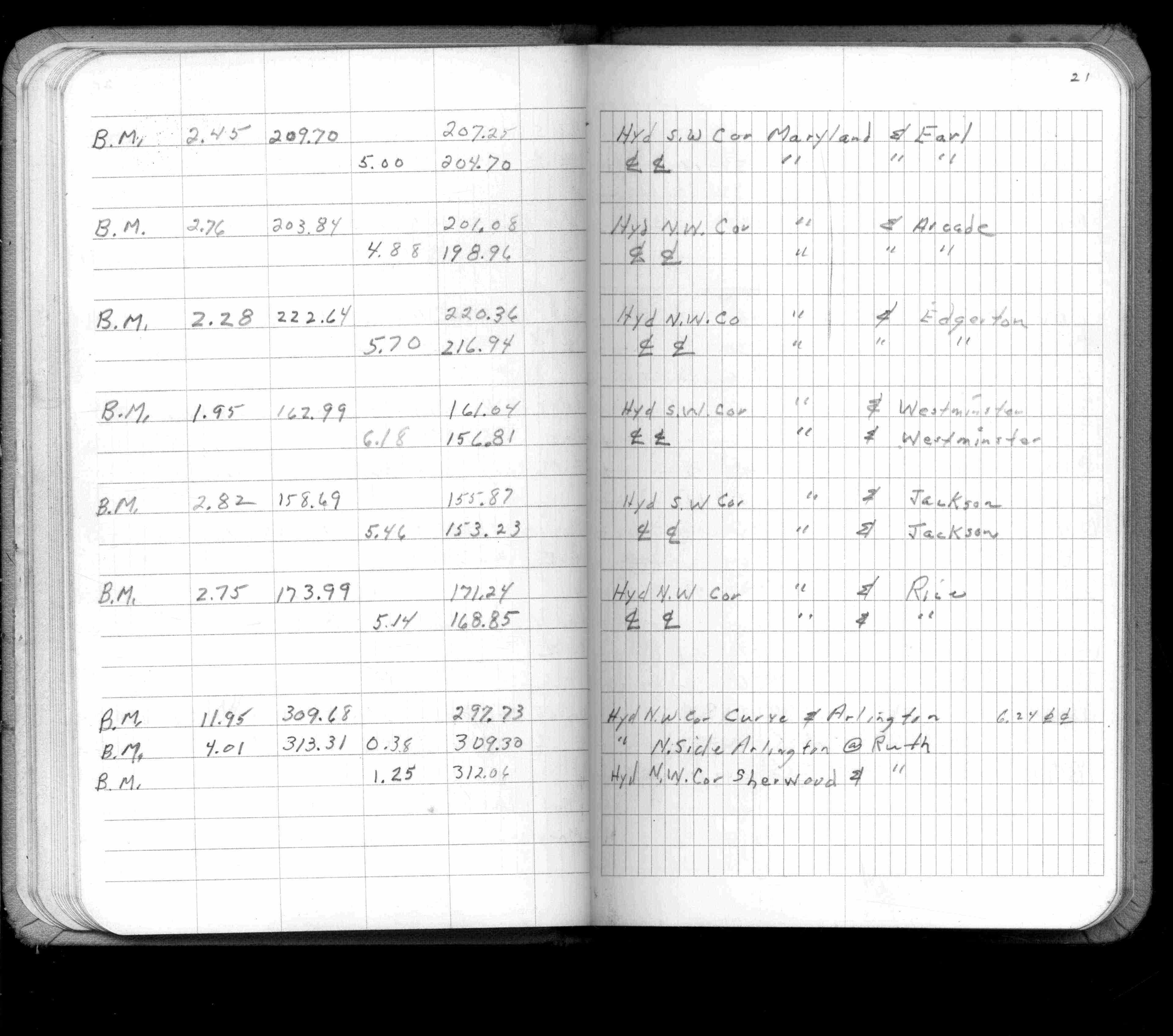
| PLS NOTES | Field | Cross Section | Sewer | J.B. Irvine | Monument | River Survey |
|---|---|---|---|---|---|---|
| IH p.200-201 | FB 0206p.28 | |||||
| FB 0214p. 16 ,18 | ||||||
| FB 0298CPYp. 02 ,04 | ||||||
| FB 0376.5p. 21 ,23 | ||||||
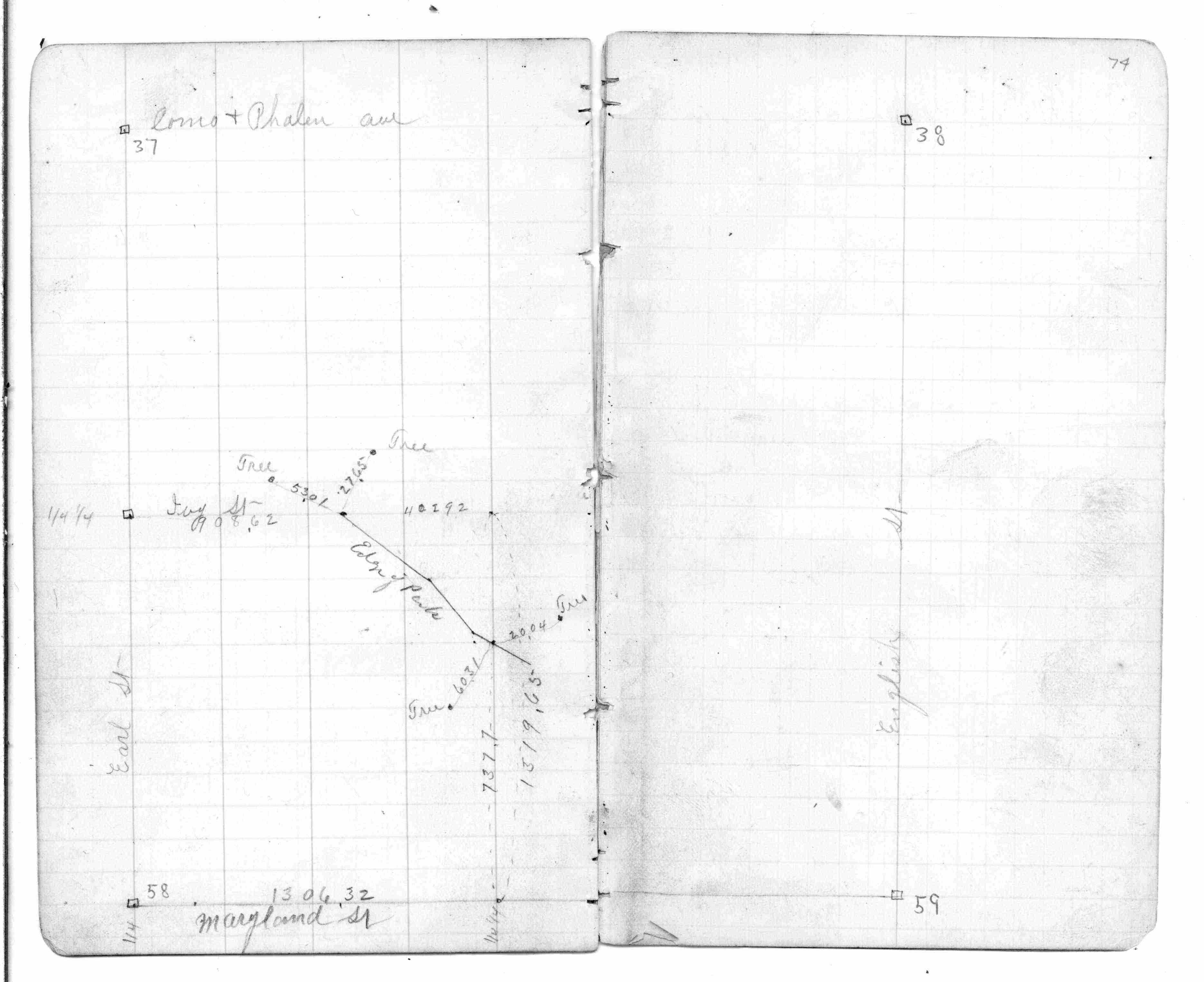
| FB 0440p.74 | ||||||
| FB 0725p.67 | ||||||
| FB 0773CPYp.13 | ||||||
| FB 0819p.34 | ||||||
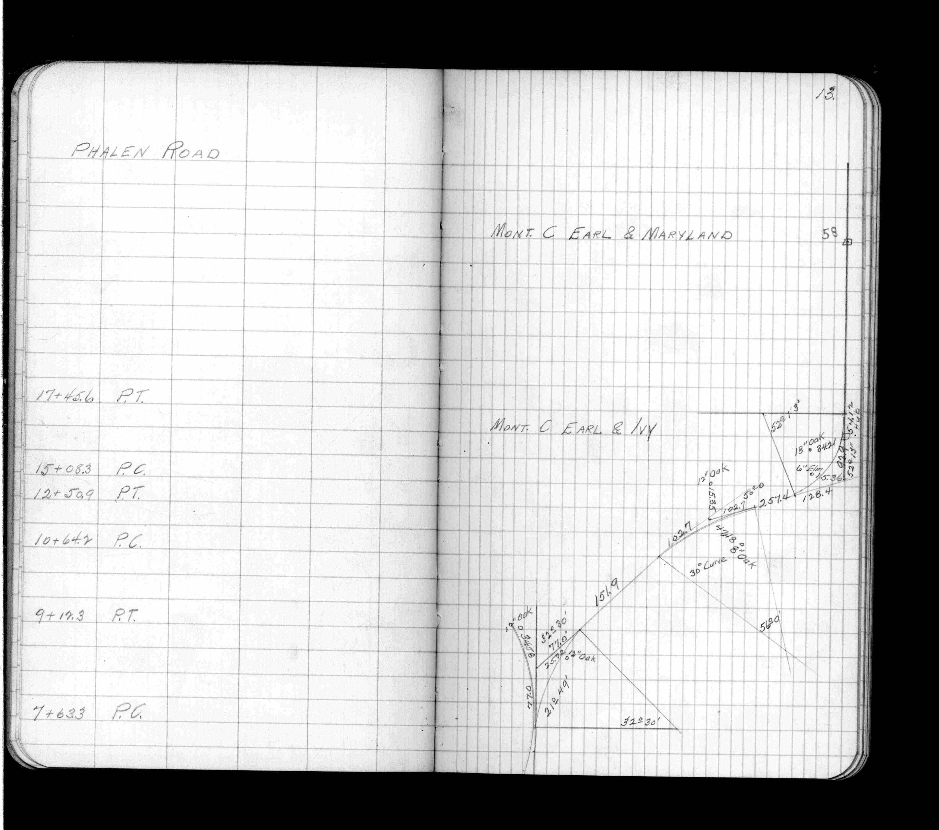
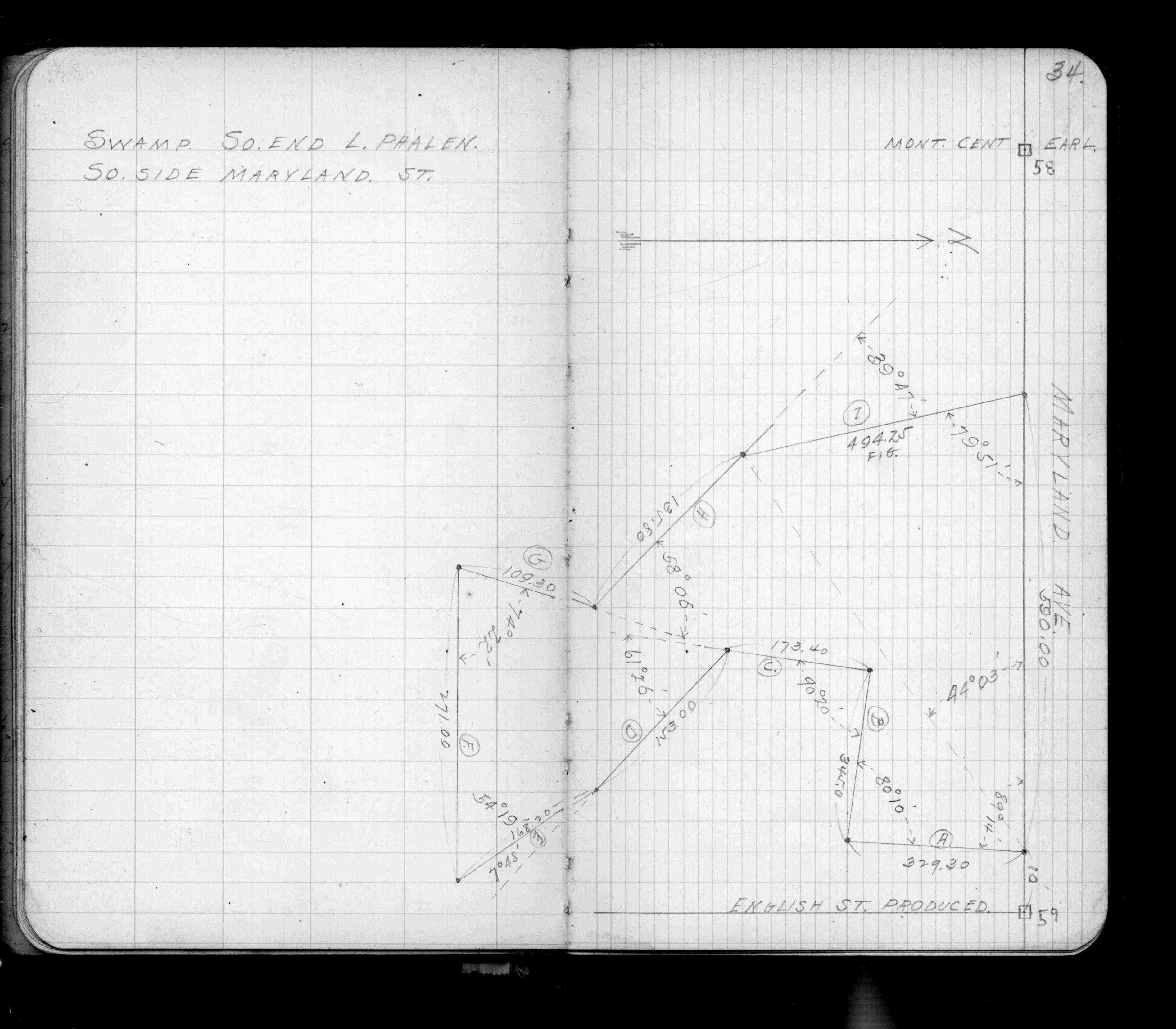
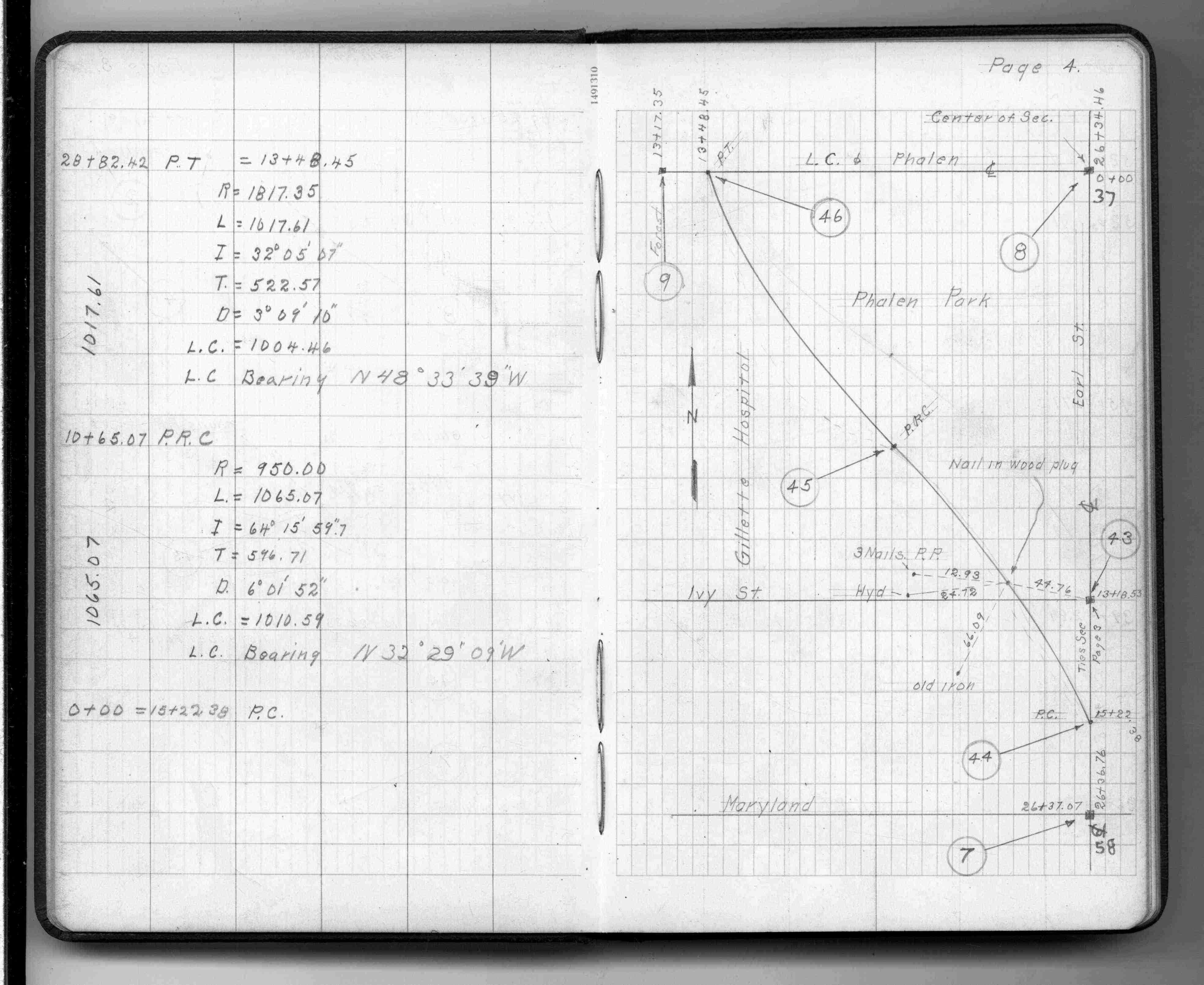
| FB 1055p.31 | ||||||
| FB 1055p.31 | ||||||
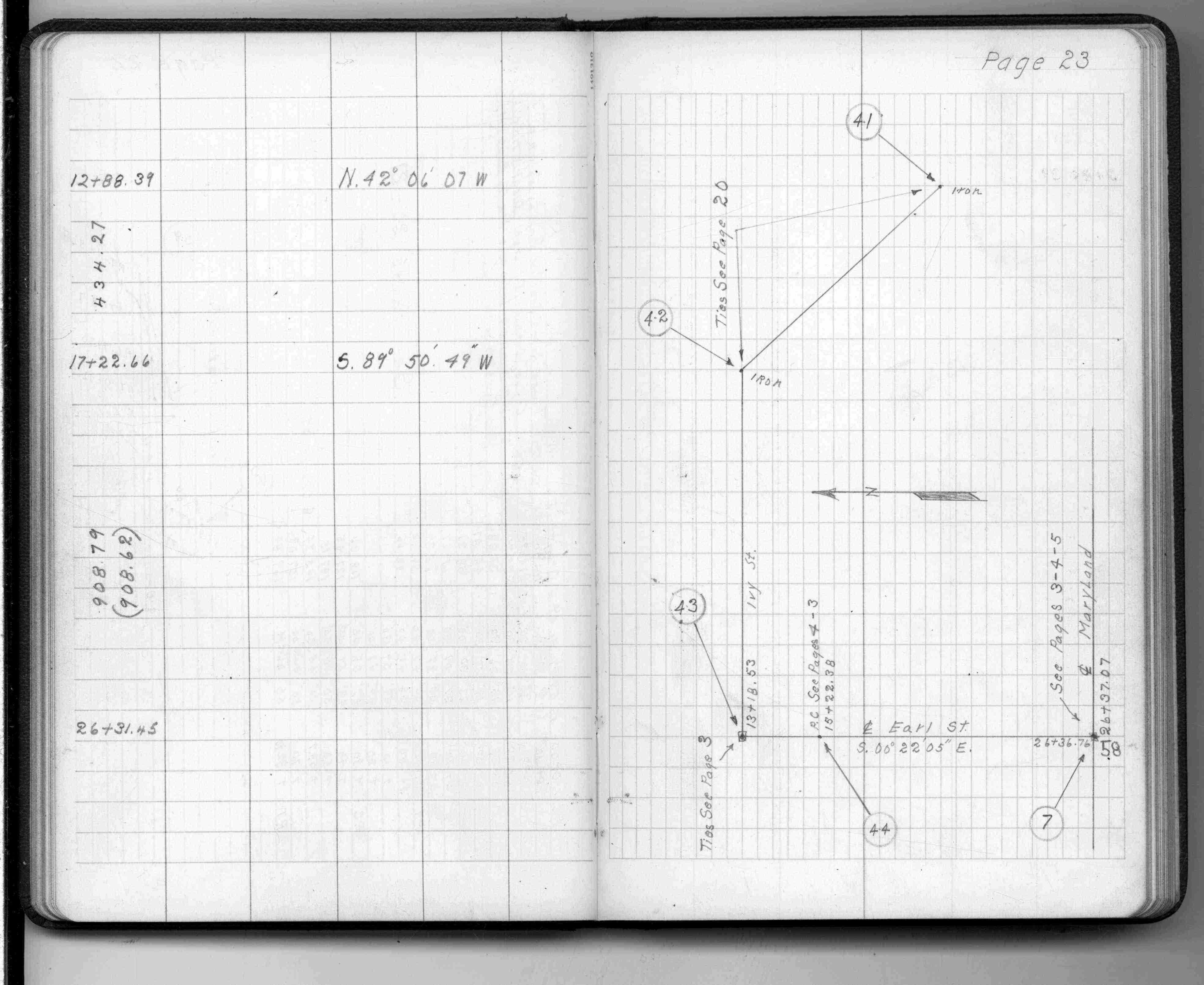
| FB 1336p. 04 ,05 ,23 | ||||||
| FB 1421Ap.21 | ||||||
| FB 1421Ap.27 | ||||||
| FB 1482p.16 | ||||||
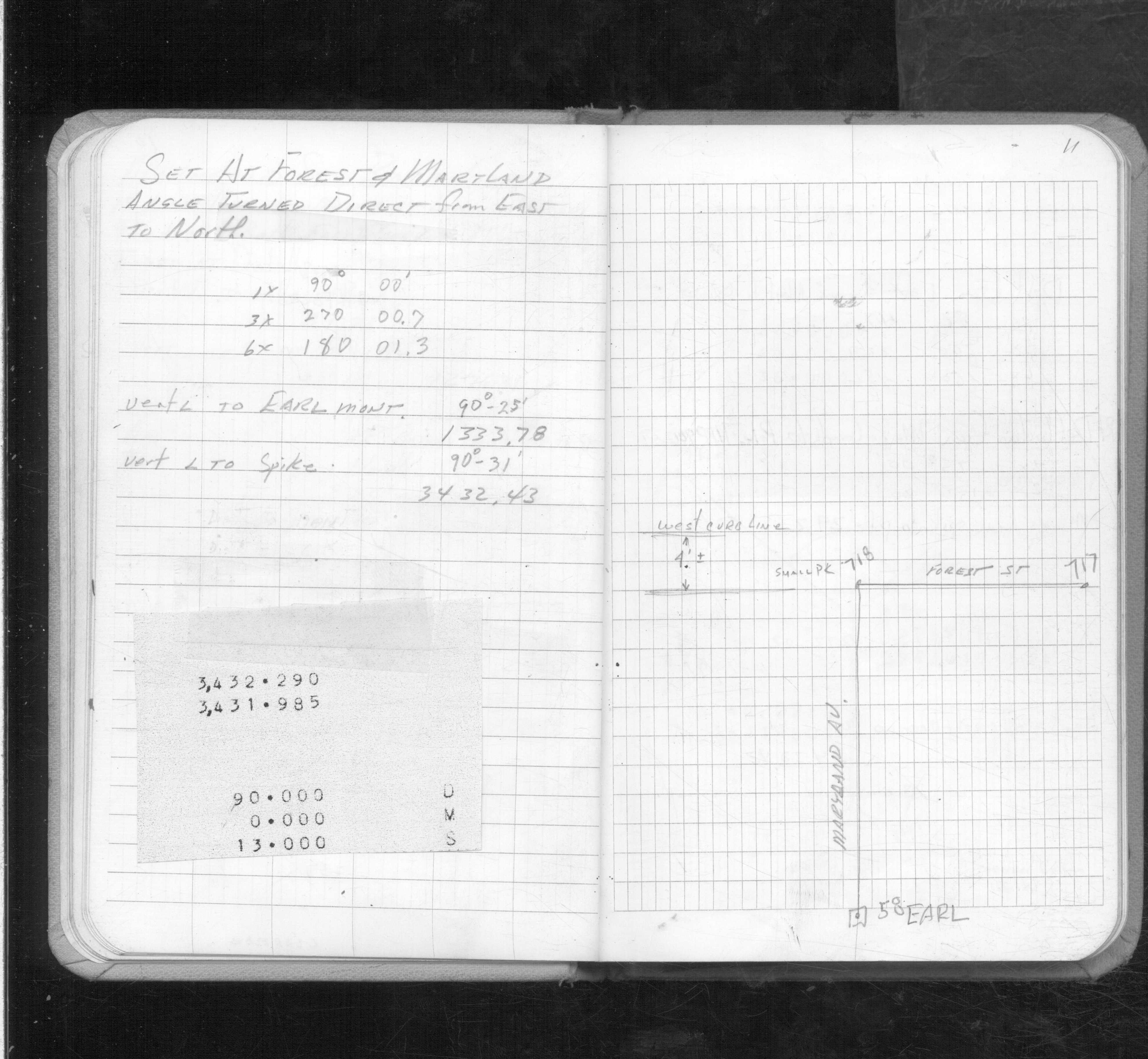
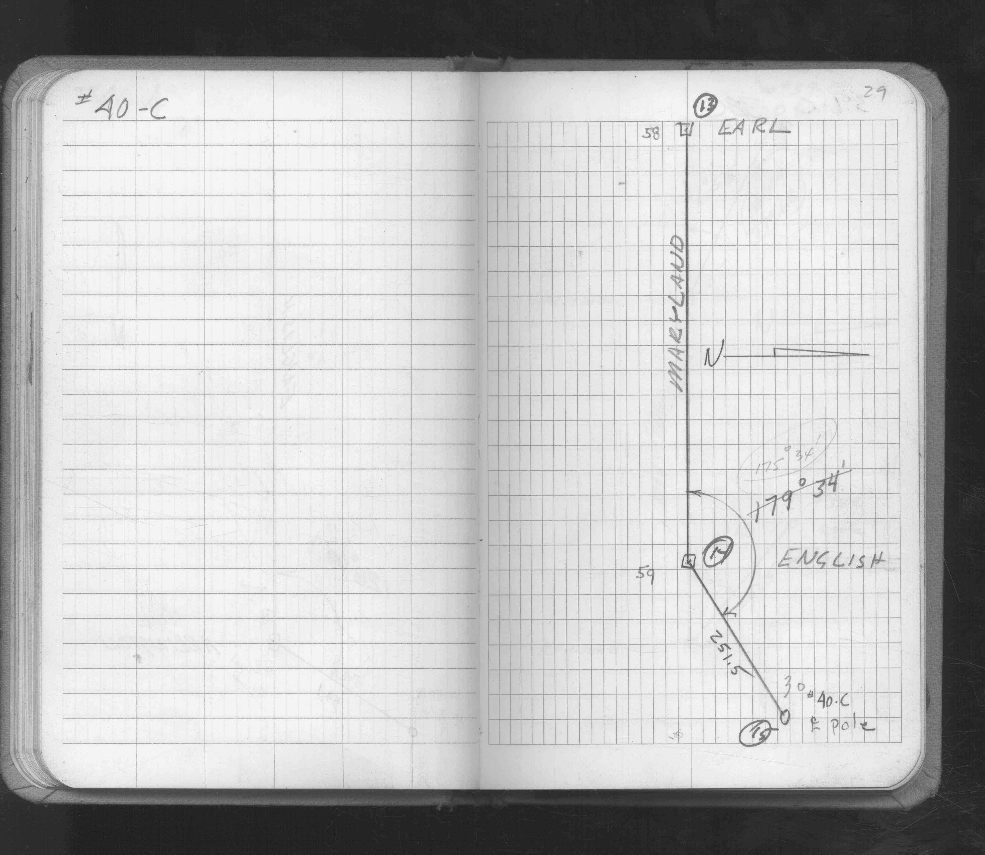
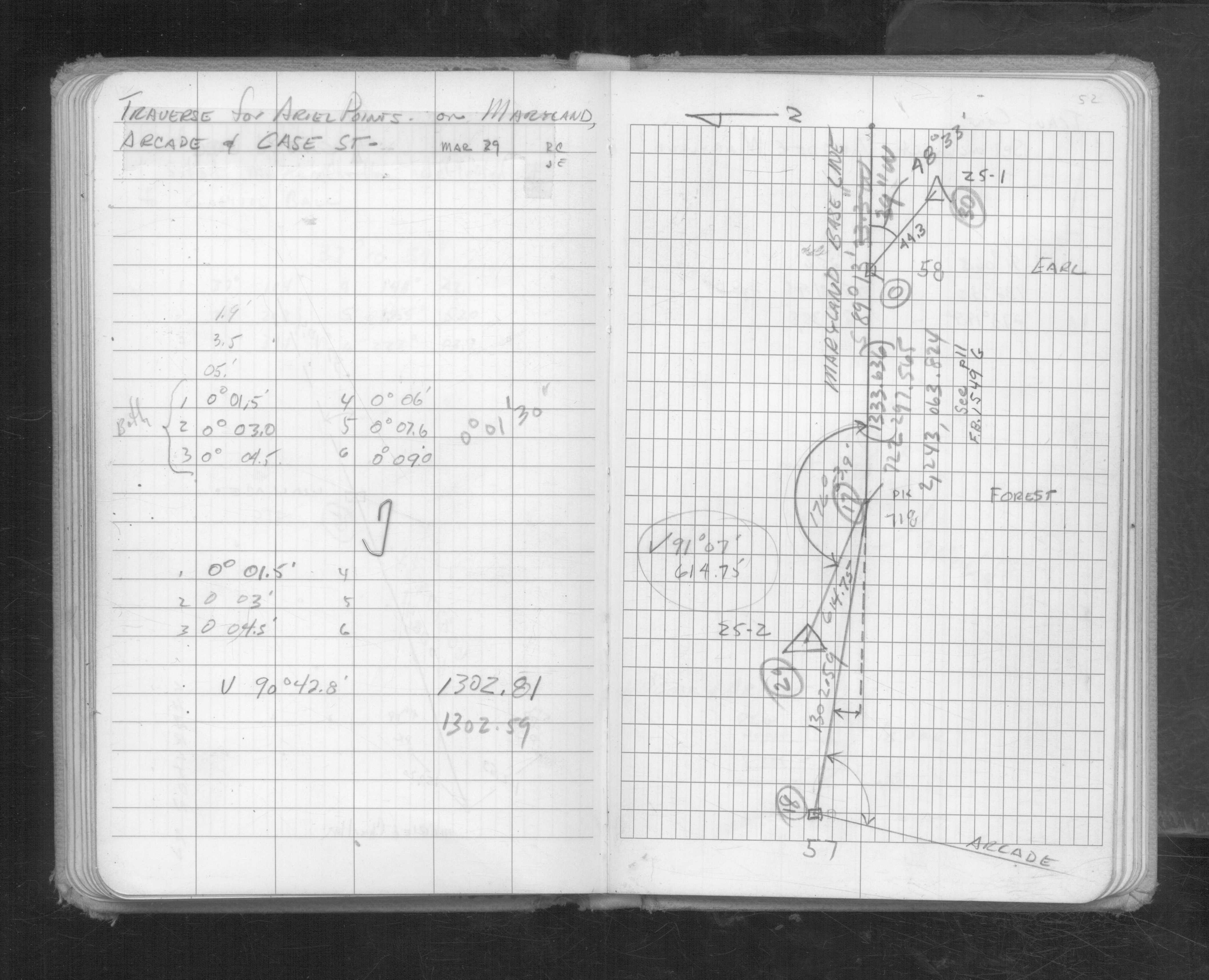
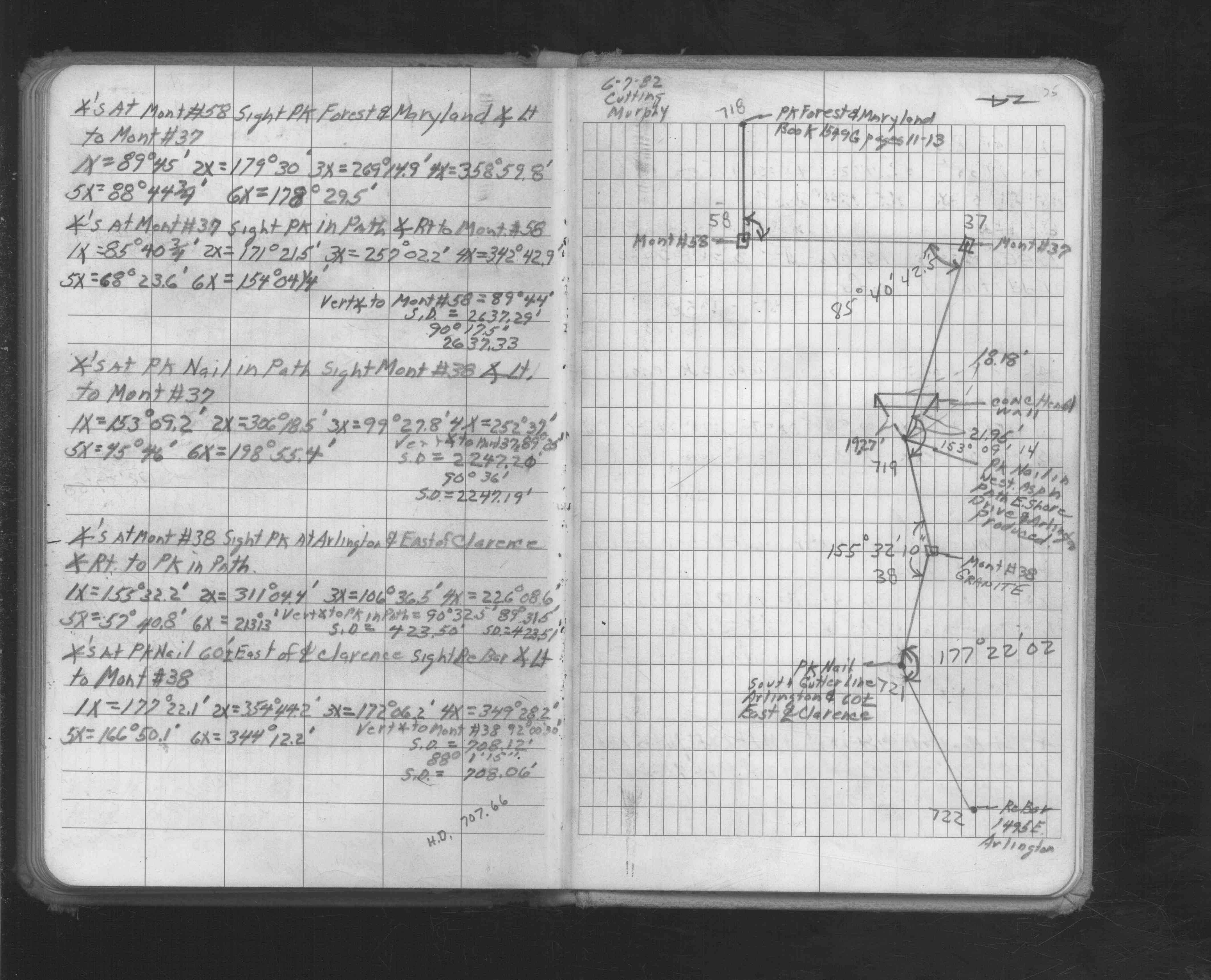
| FB 1549Gp. 09 ,10 ,11 ,29 | ||||||
| FB 1549Ip. 52 ,75 | ||||||
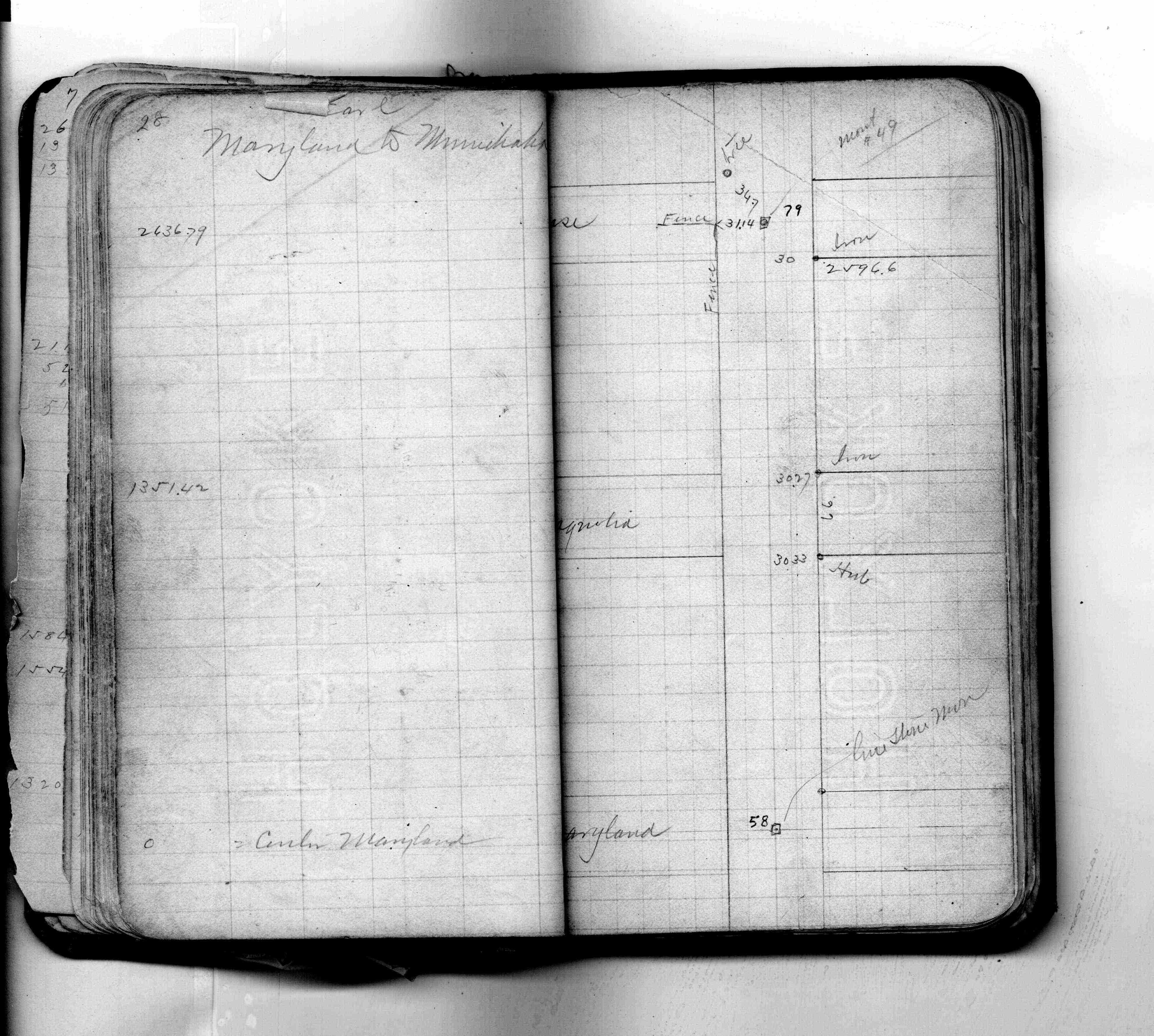
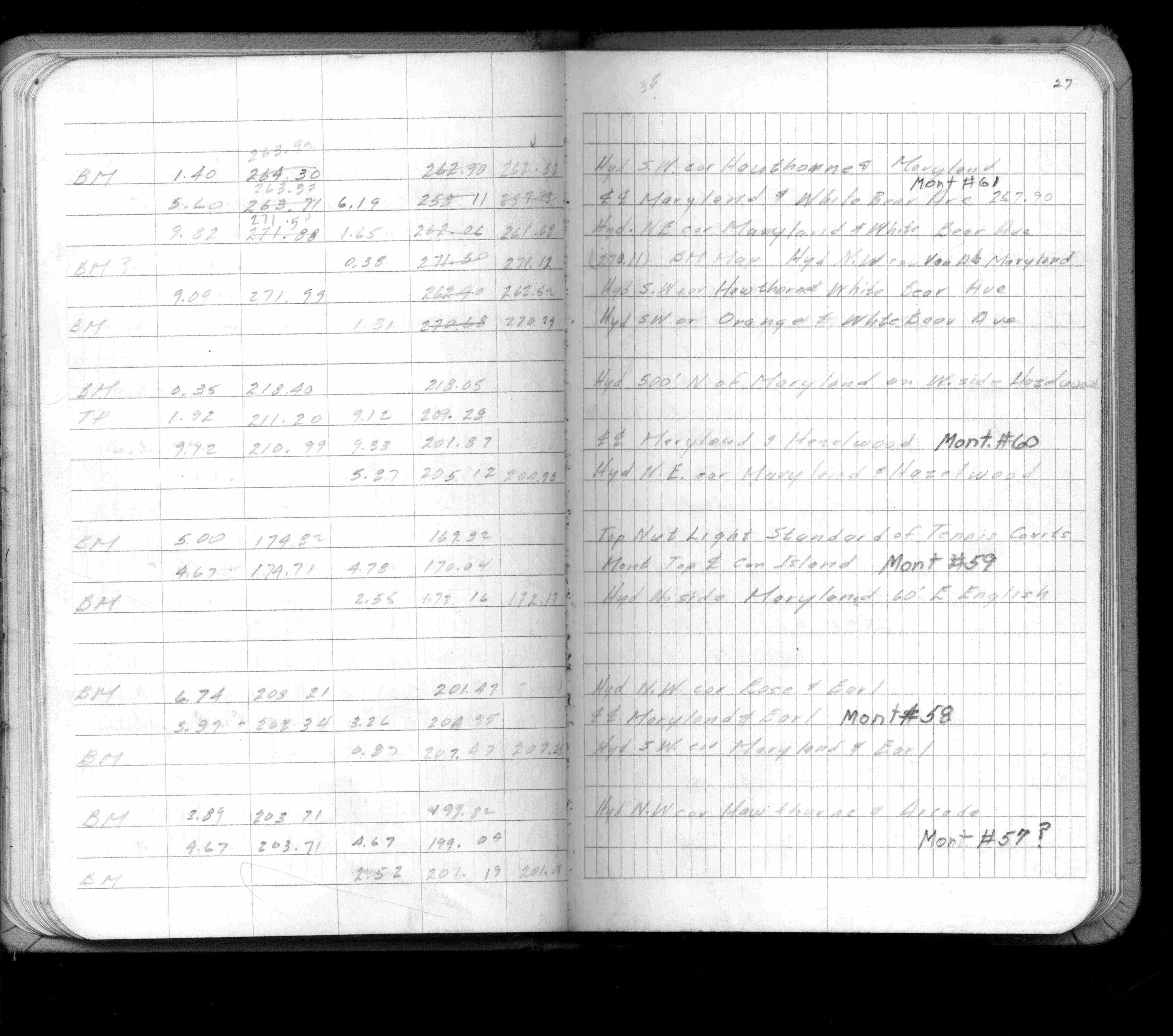
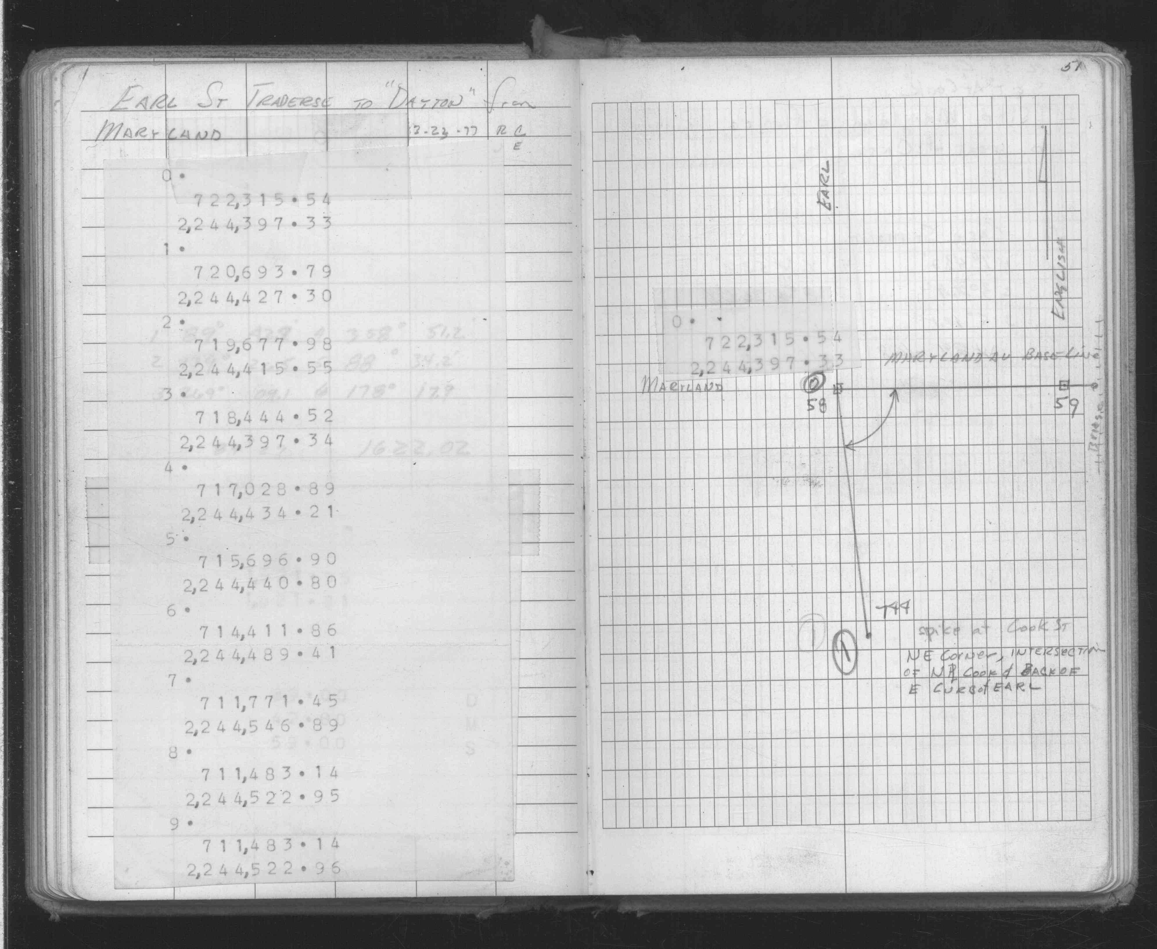
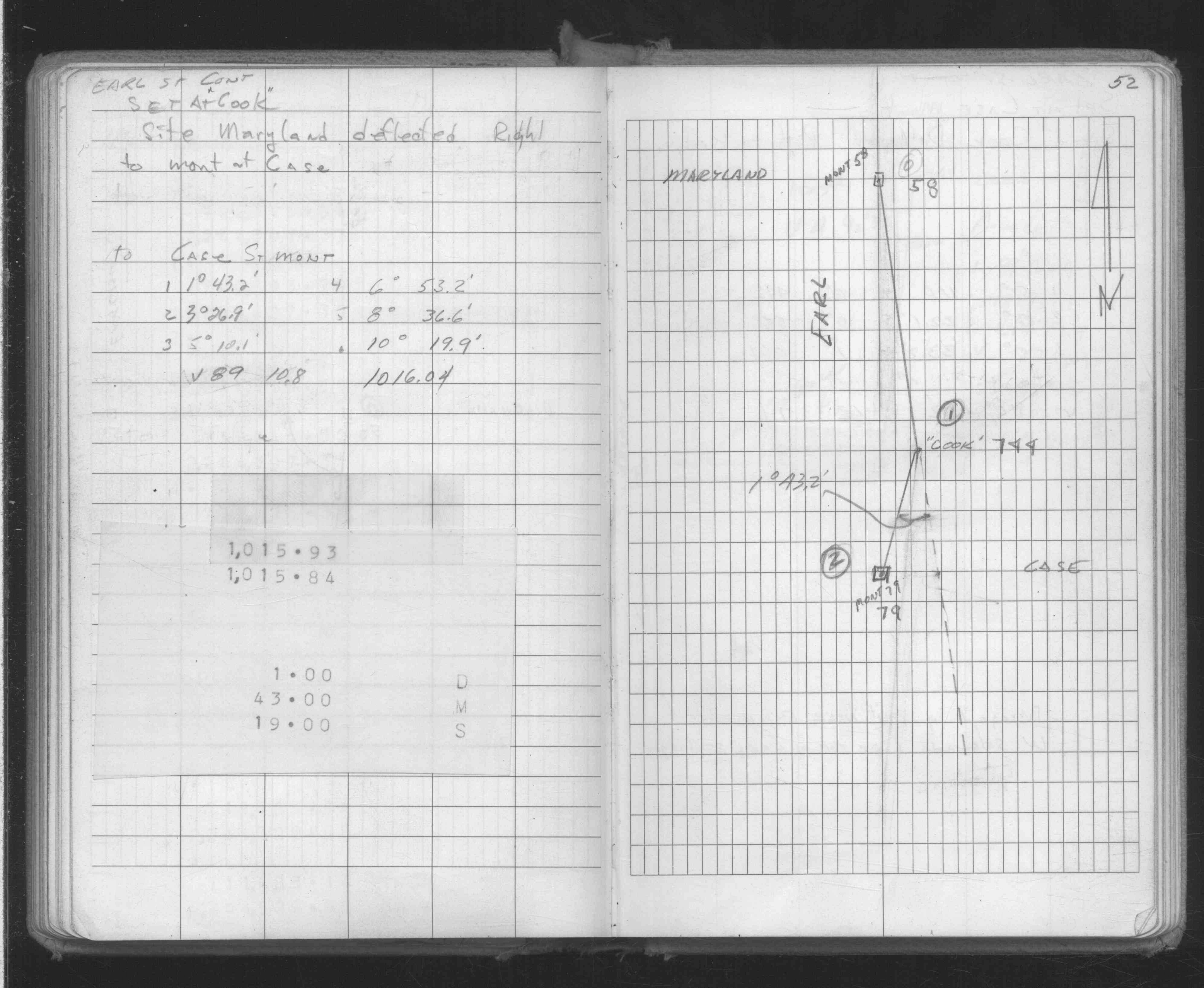
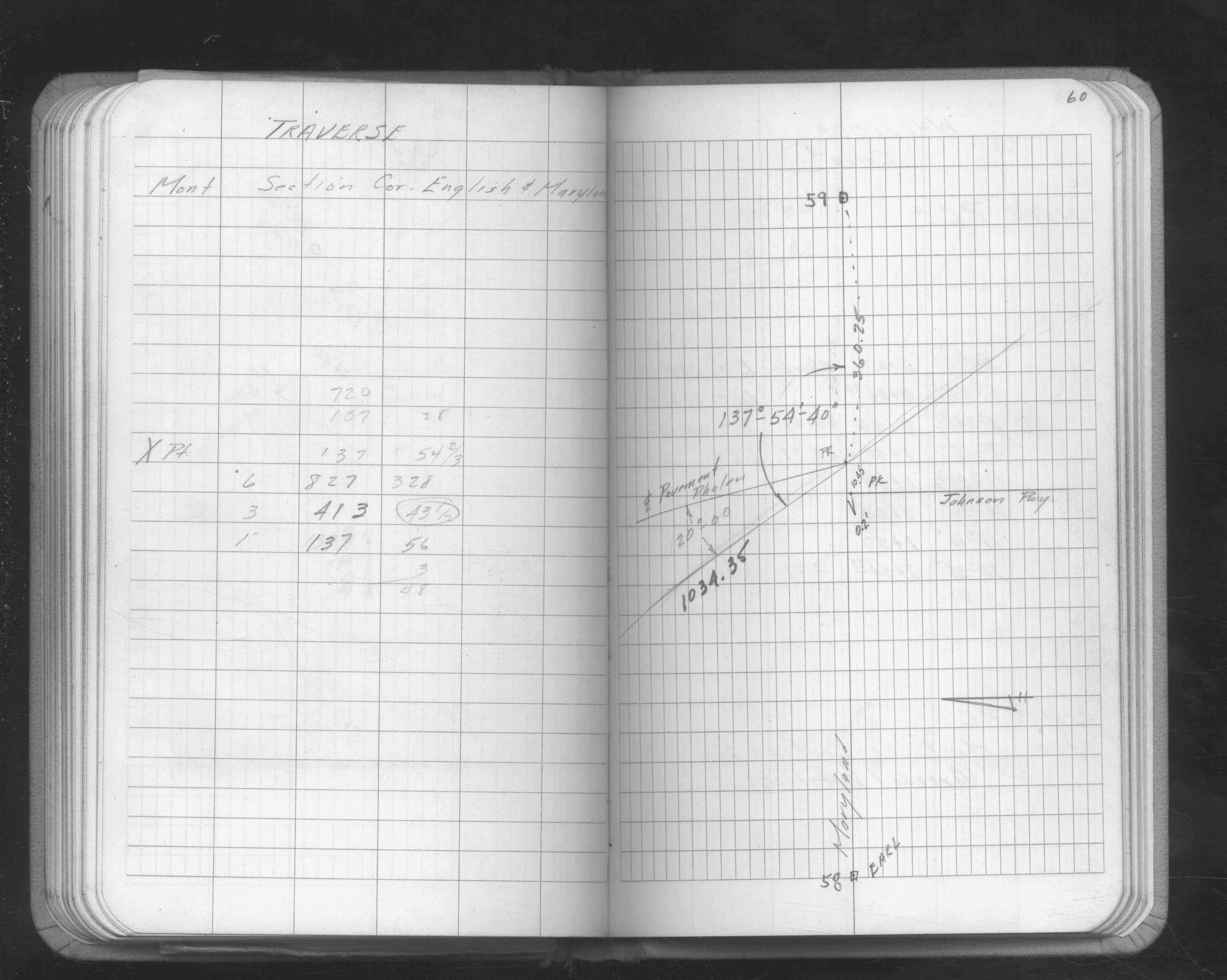
| FB 1549Lp.25 | ||||||
| FB 1634Dp. 51 ,52 | ||||||
| FB 1642p.60 | ||||||
| FB 1689Ap.13 | ||||||
| FB 1689Ap.06 | ||||||
| FB 1708Ap.62 | ||||||
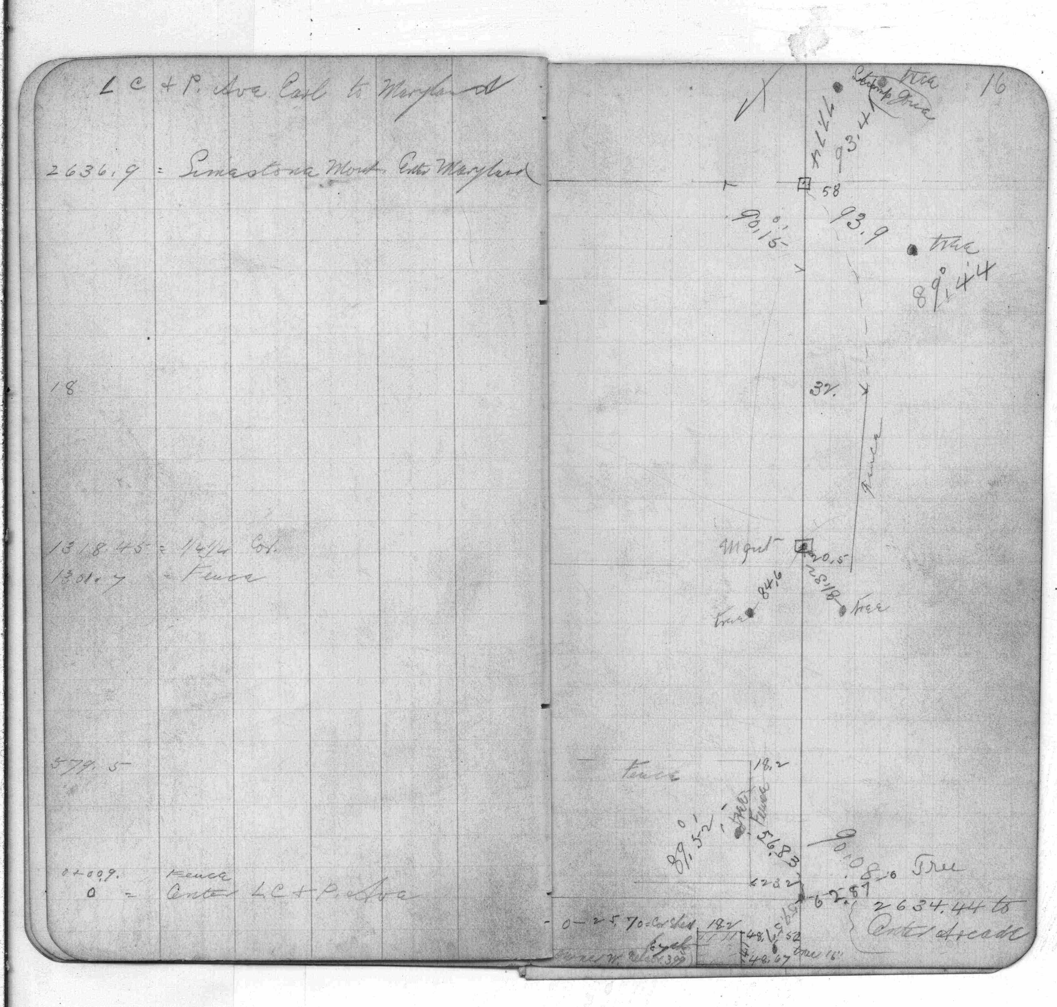
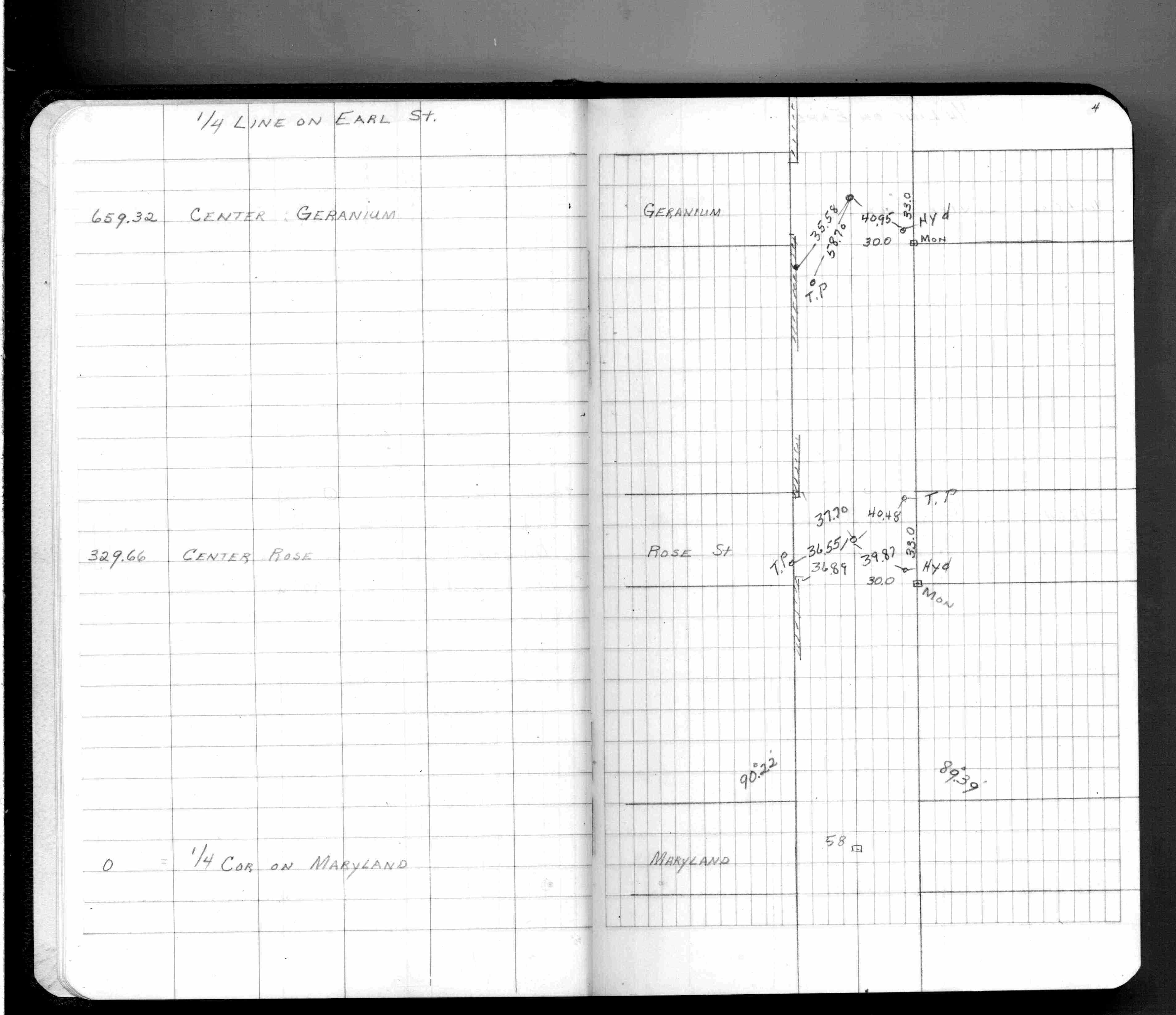
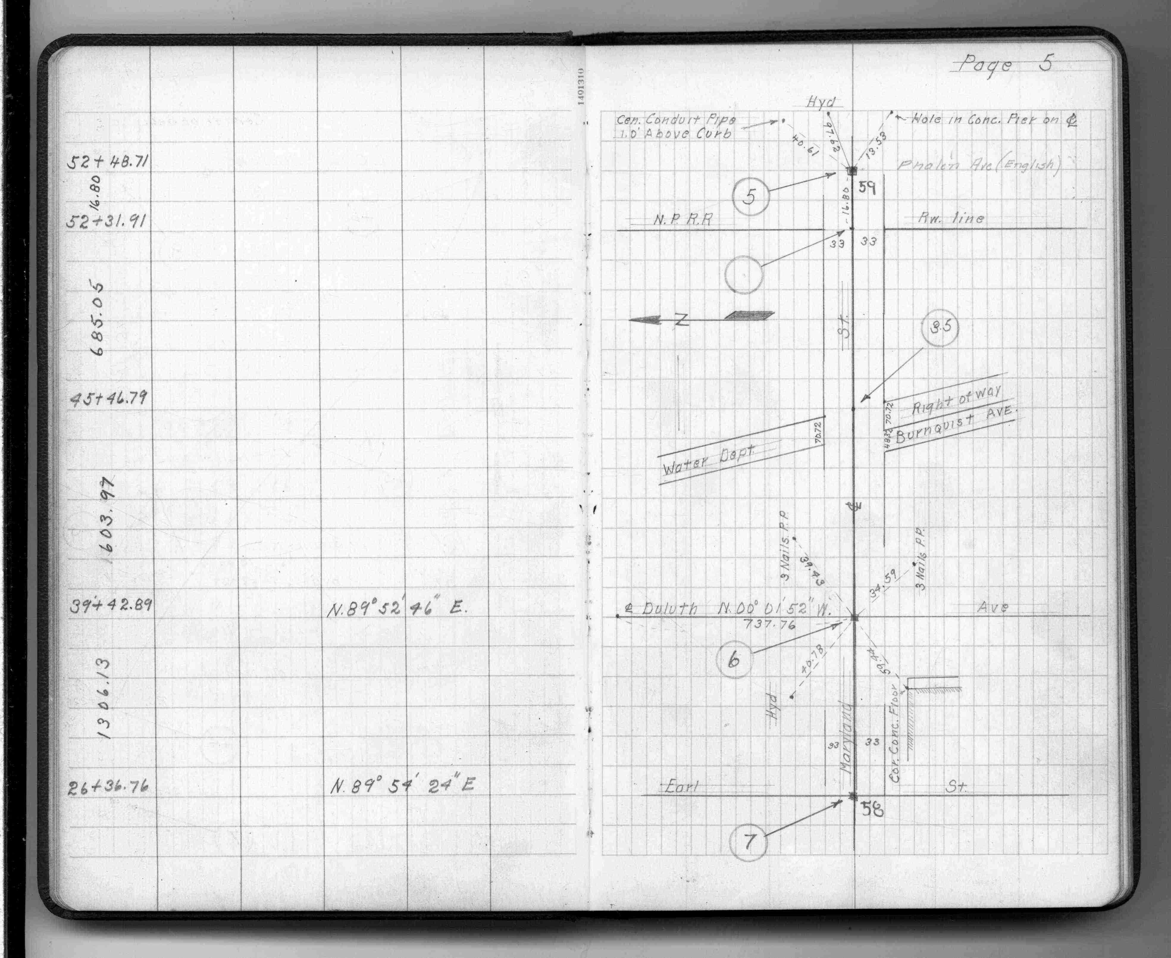
| FB 1735p.16 | ||||||
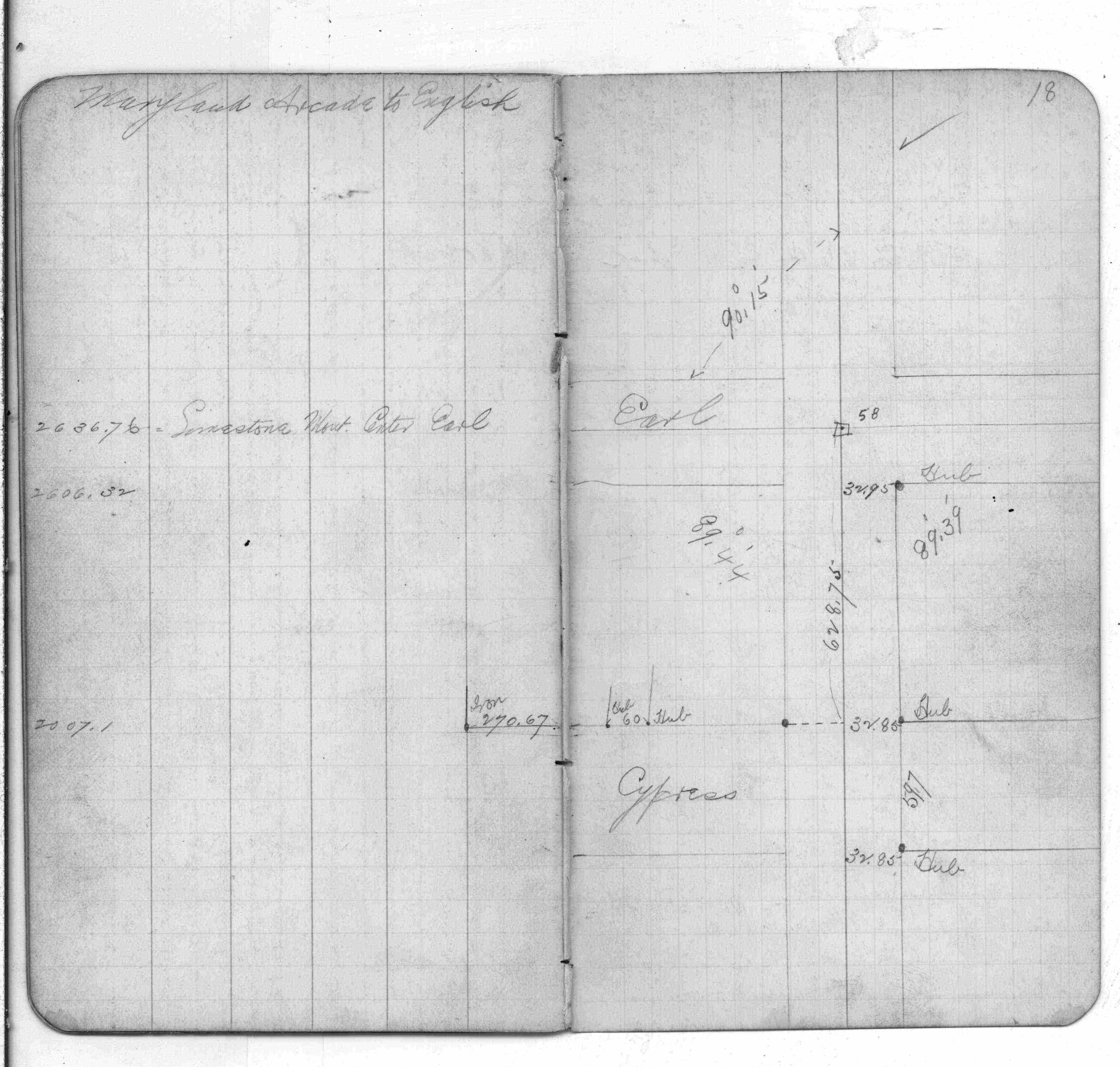
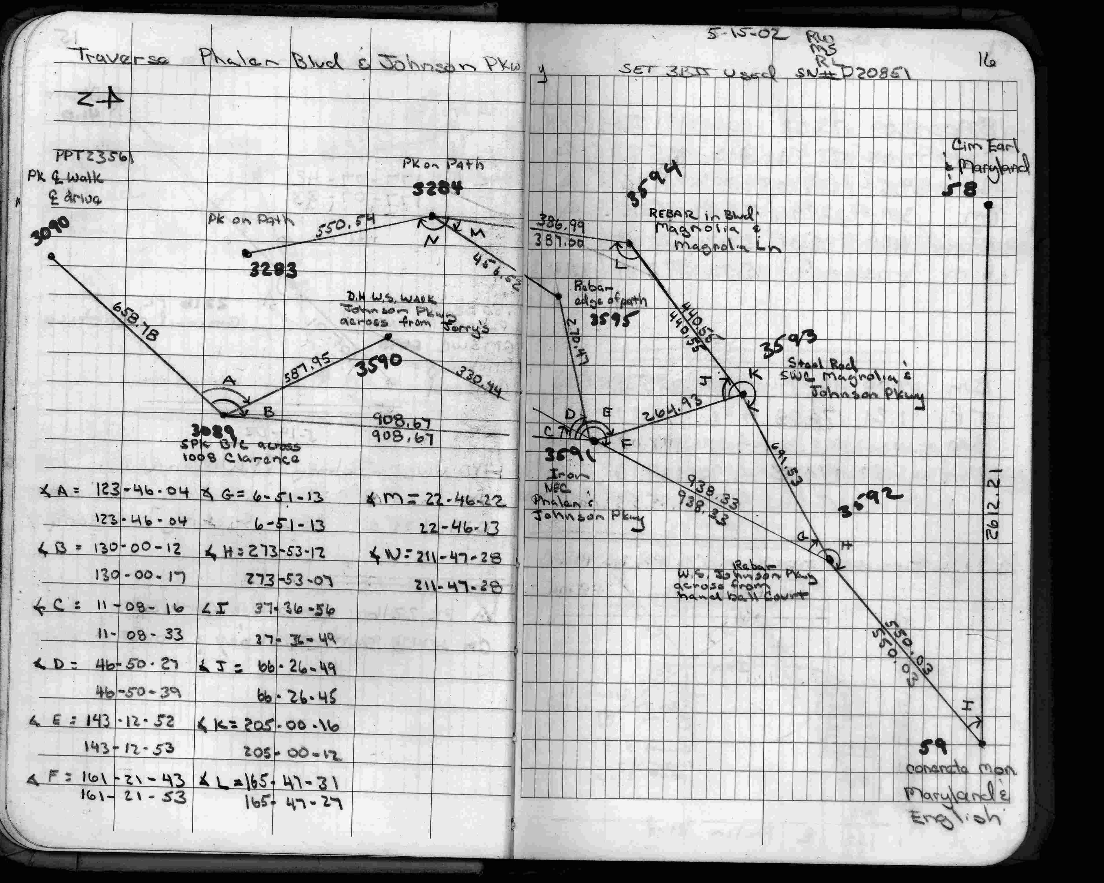
| FB 1736p.16 |
| FILE | SURVEYOR | LIC. NO. | DATE SIGNED | DATE TIED |
|---|---|---|---|---|
| 0058-0027-A.tif | William J. Cutting | 20576 | June 29, 1993 | June 23, 1993 |
| ST_001-078p058.jpg | none | none | none | none |
| 0058-0027-A.dwf | none | none | none | none |
| FILE | PHOTO DATE | COMMENTS |
|---|---|---|
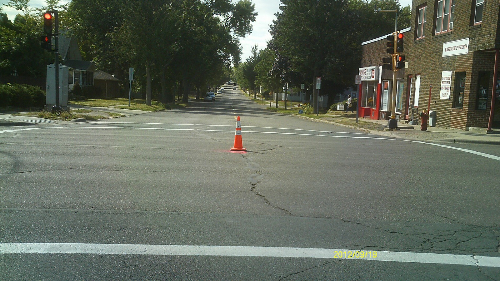
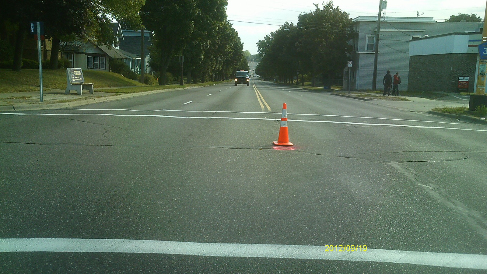
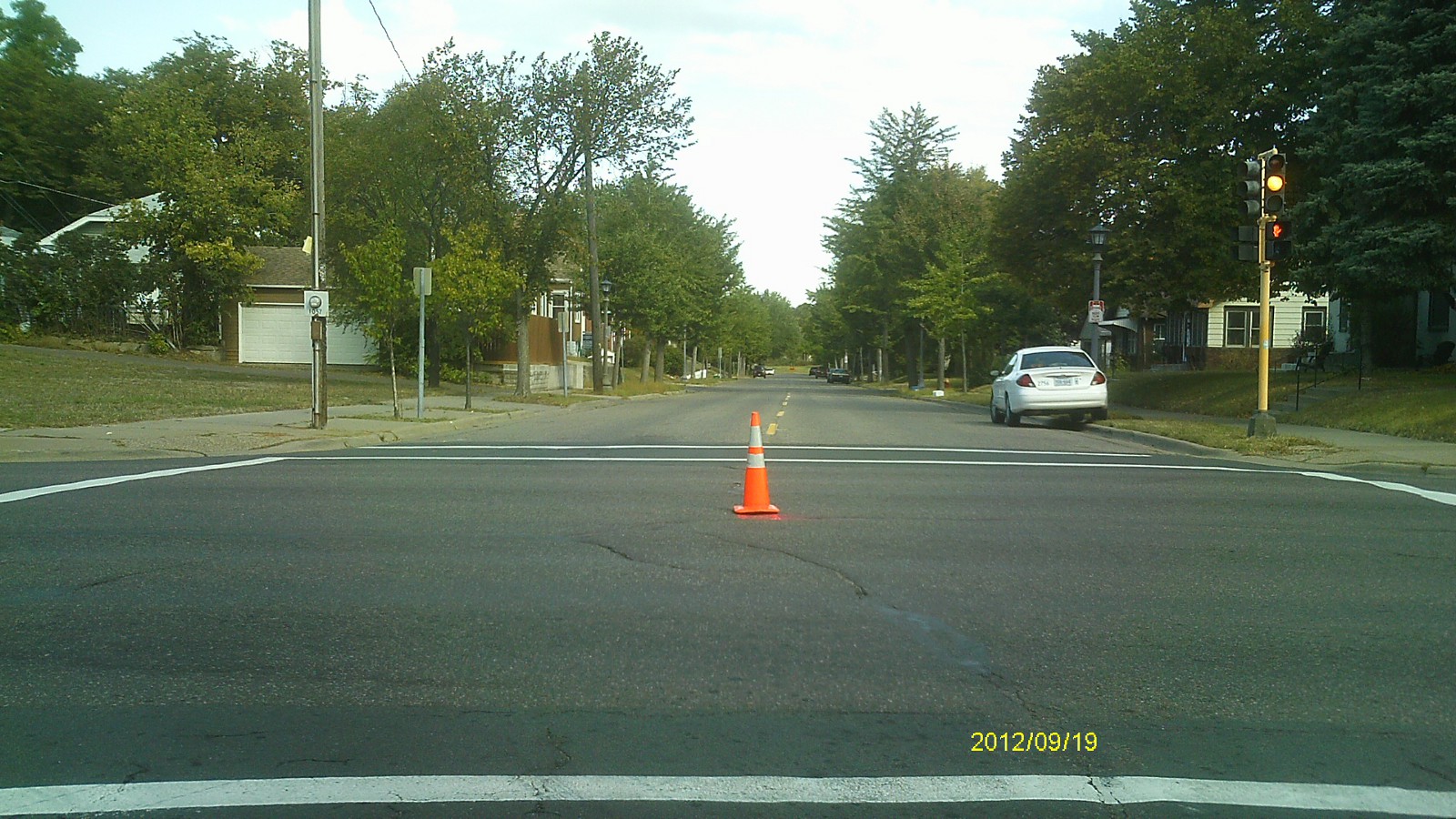
| 0058-0027-5.jpg | September 19, 2012 | Looking west along Maryland Ave. |
| 0058-0027-4.jpg | September 19, 2012 | Looking south along Earl St. |
| 0058-0027-3.jpg | September 19, 2012 | Looking east along Maryland Ave. |
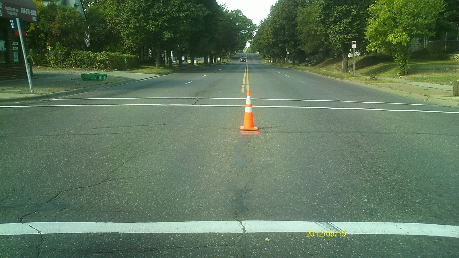
| 0058-0027-2.jpg | September 19, 2012 | Looking north along Earl St. |
| 0058-0027-1.jpg | September 19, 2012 | Close up of monument. |