| NAD83 COORDINATES (1986 adj.): |
|---|
| * X= 592788.560 Y= 152269.003 Z= 000.00 CMP 12/17/1991 |
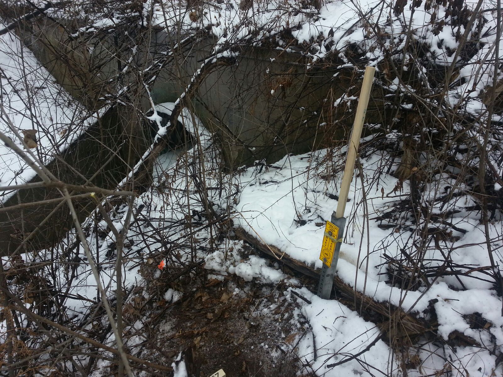
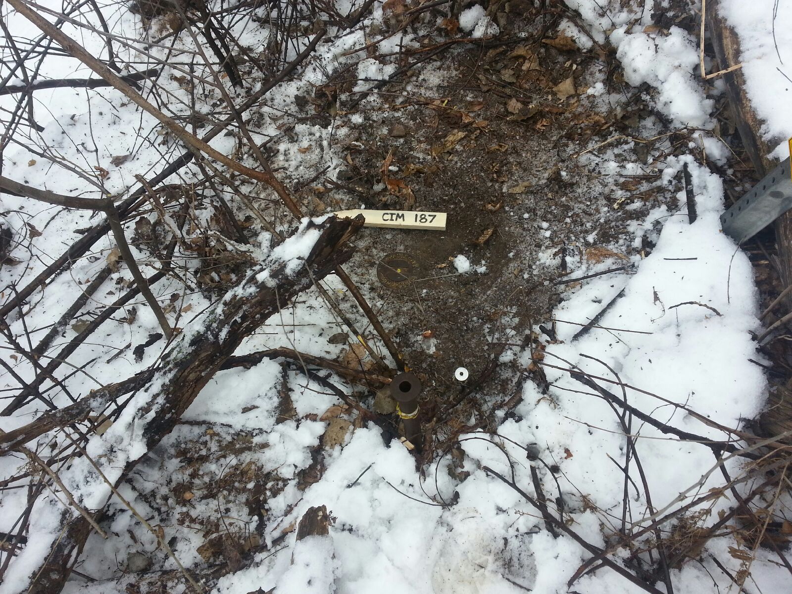
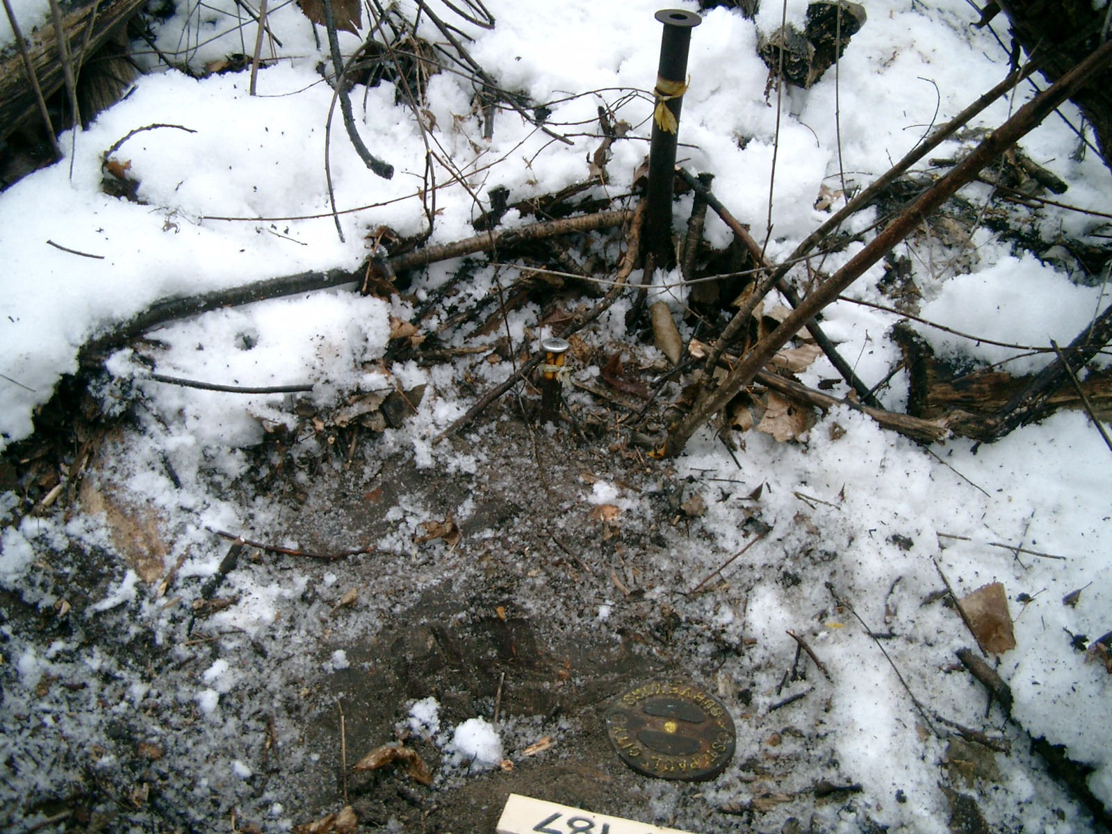
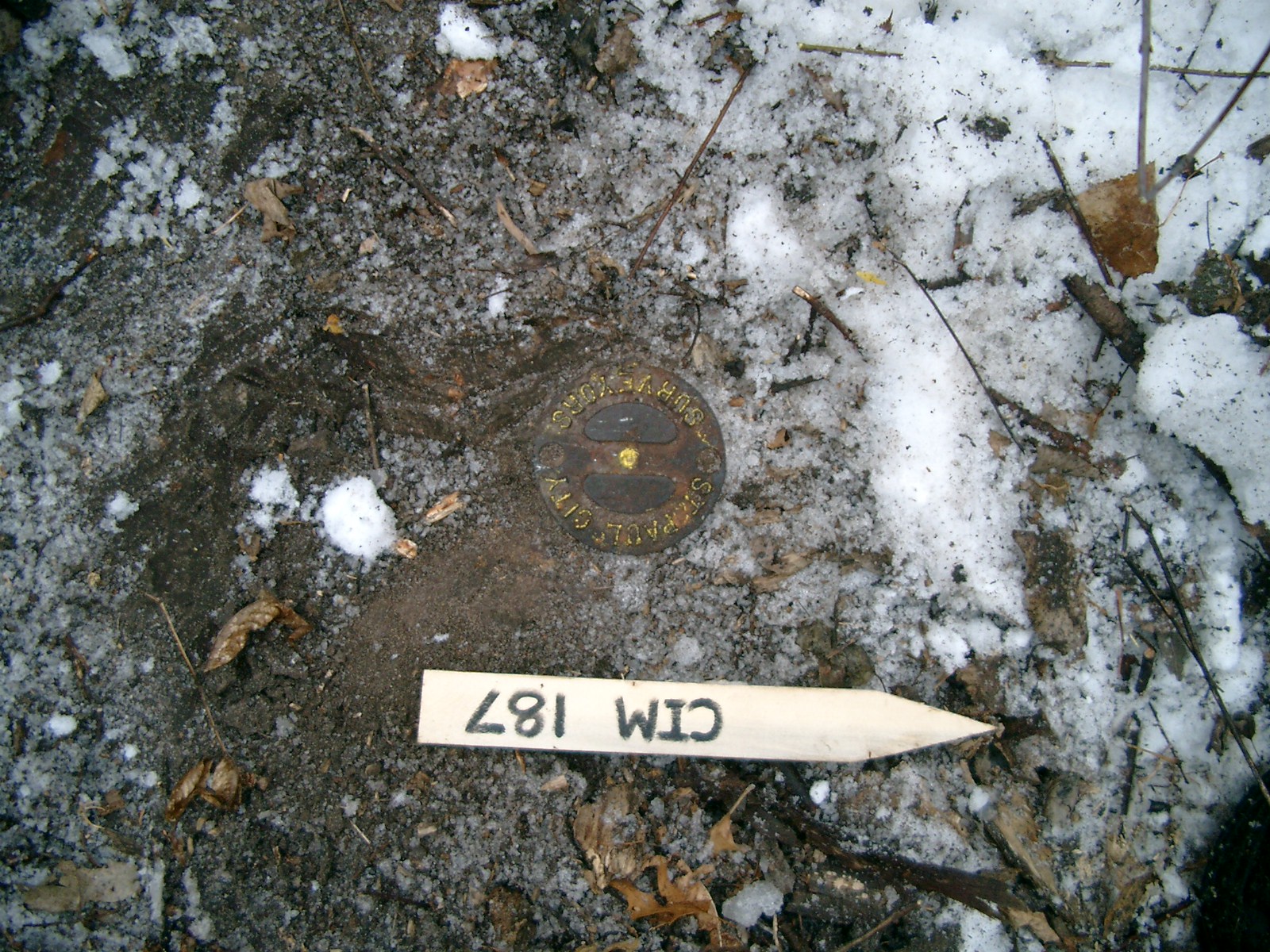
| 1/31/2013 | Found CIM at surface level adjacent to 2 irons. Photos taken. |
| 3/1/2000 | (Unknown date Mar __, 2000 ) Fd CIM at grade (placed fabric target for 2000 aerial) |
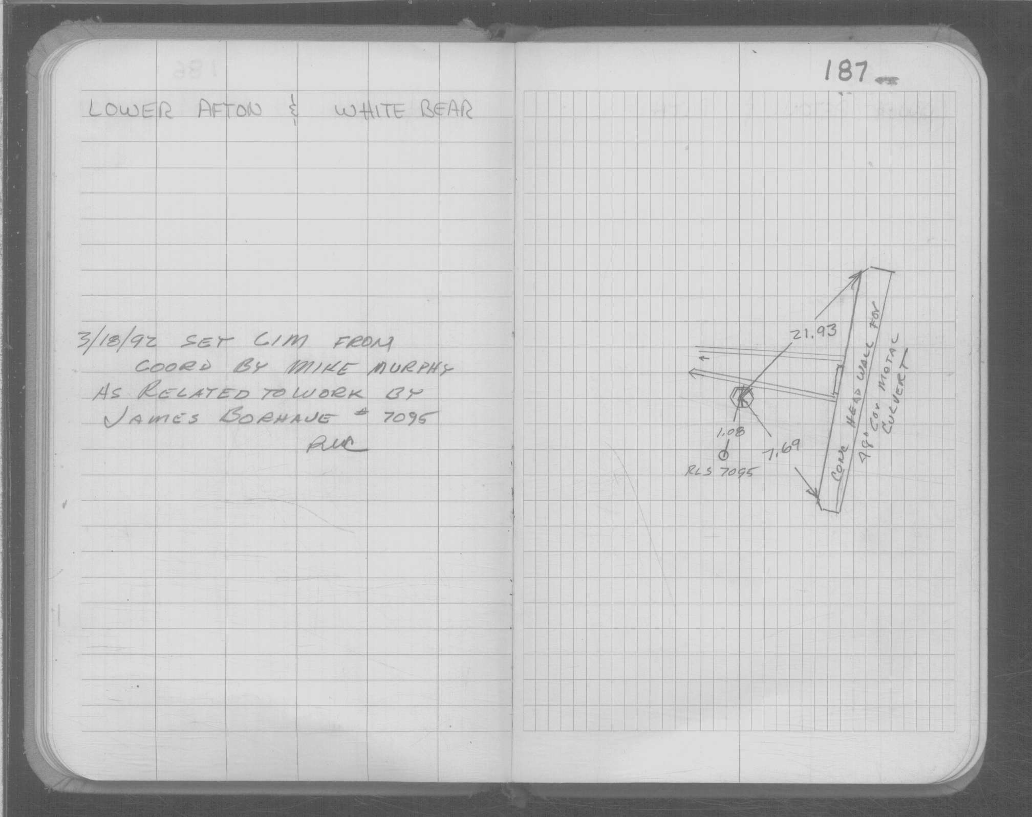
| 3/18/1992 | CIM set to grade. See CofL 0187-2247-A |
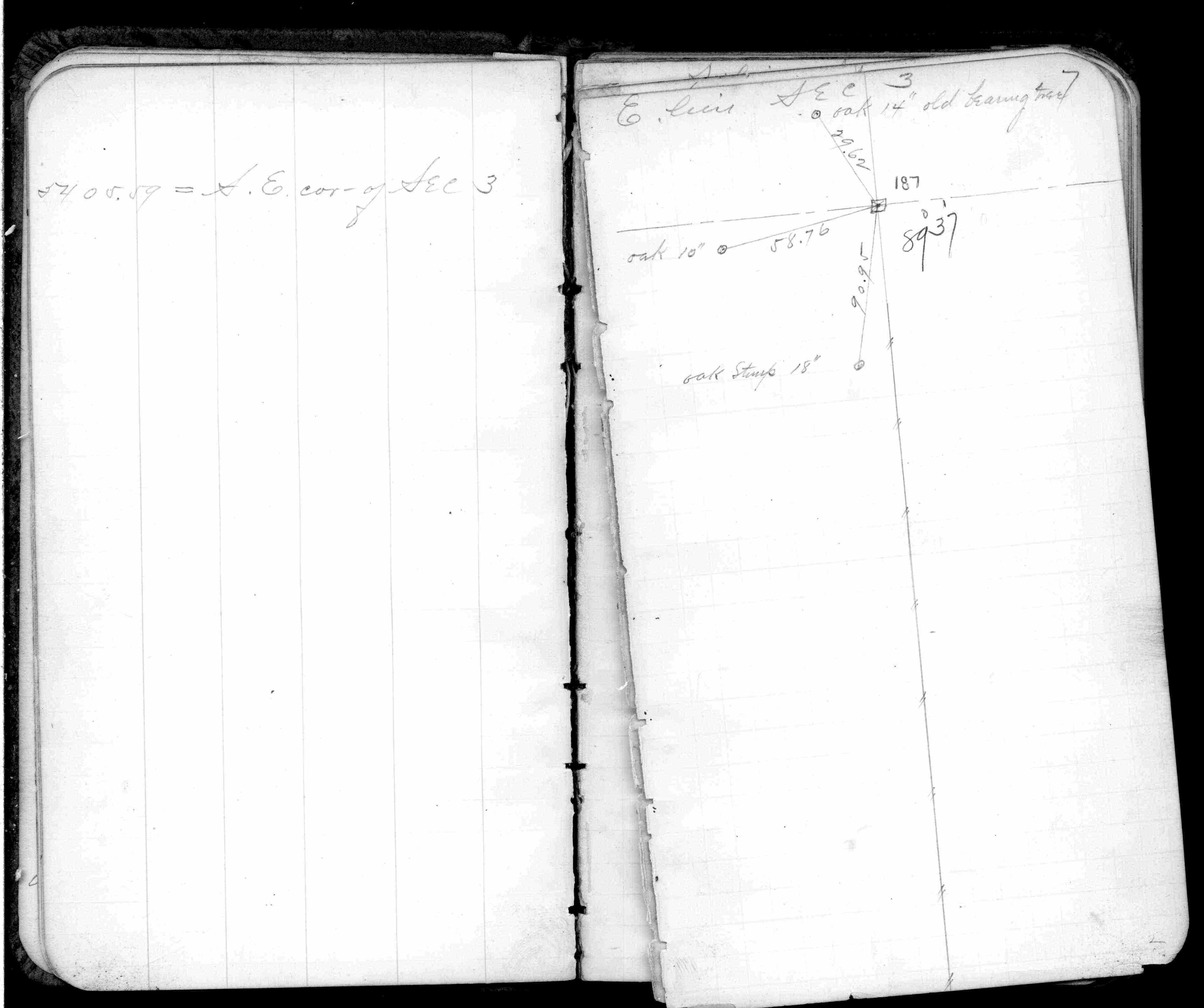
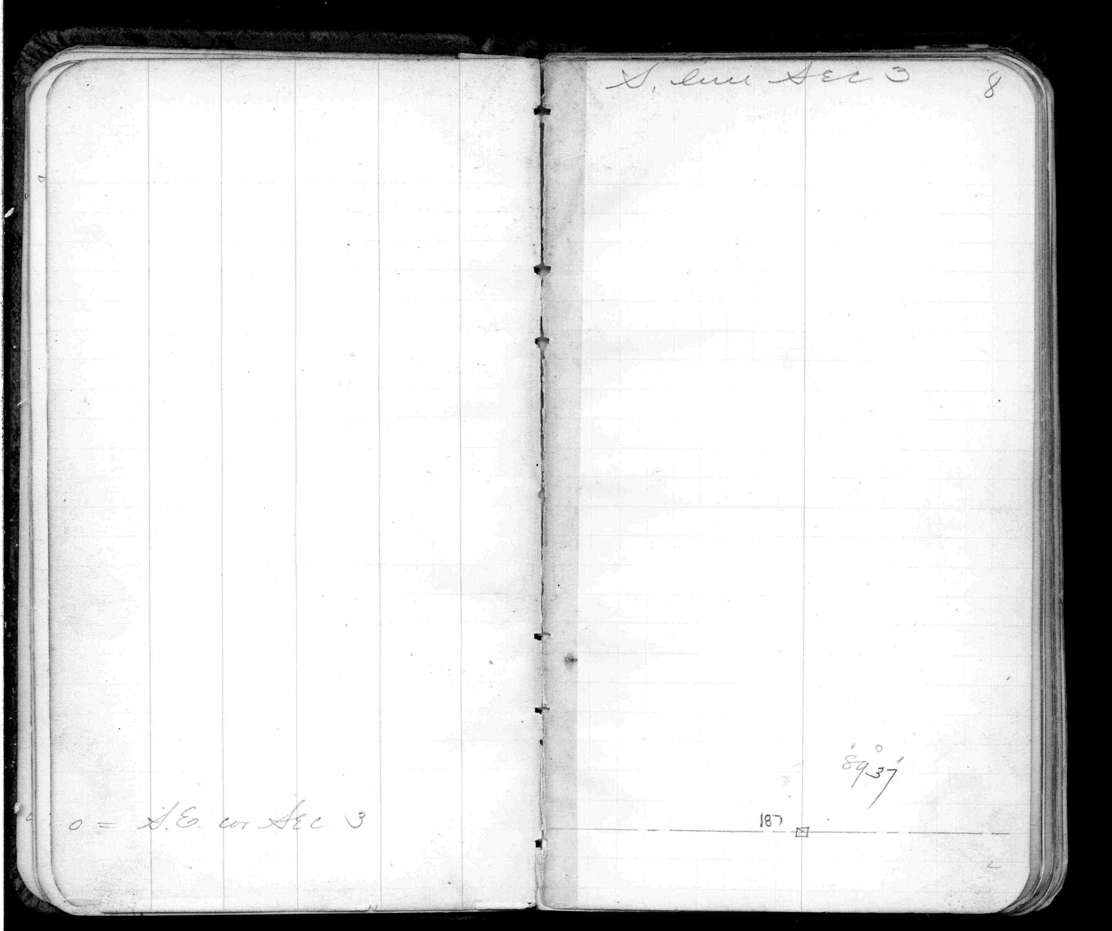
| 2/1/1891 | (Unknown date Feb __, 1891 ) Monument set by J H Armstrong. SE Bearing tree standing. See Std Map Sec 3-28-22 and Old Index Book II No 2234 |
| 10/1/1847 | (Unknown date Oct __, 1847 ) Isaac N Higbee deputy surveyor set post. Tied to 2 BTs. See IH p.082-083 2822 |
| 1/1/1800 | (Unknown date ___ __, ____ ) No monument found |
Above is NOT an all inclusive history of this point. Please review all the links below.
| PLS NOTES | Field | Cross Section | Sewer | J.B. Irvine | Monument | River Survey |
|---|---|---|---|---|---|---|
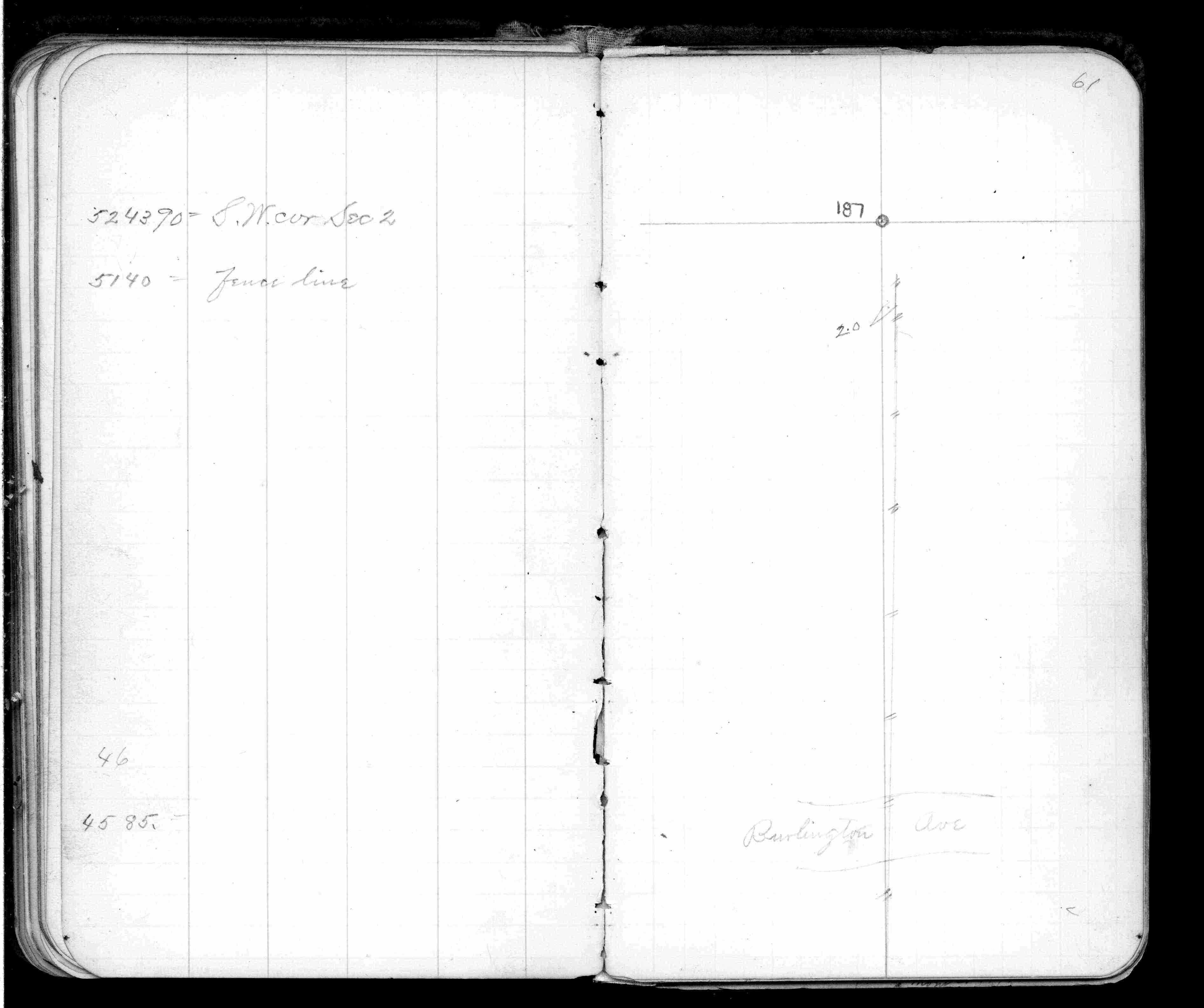
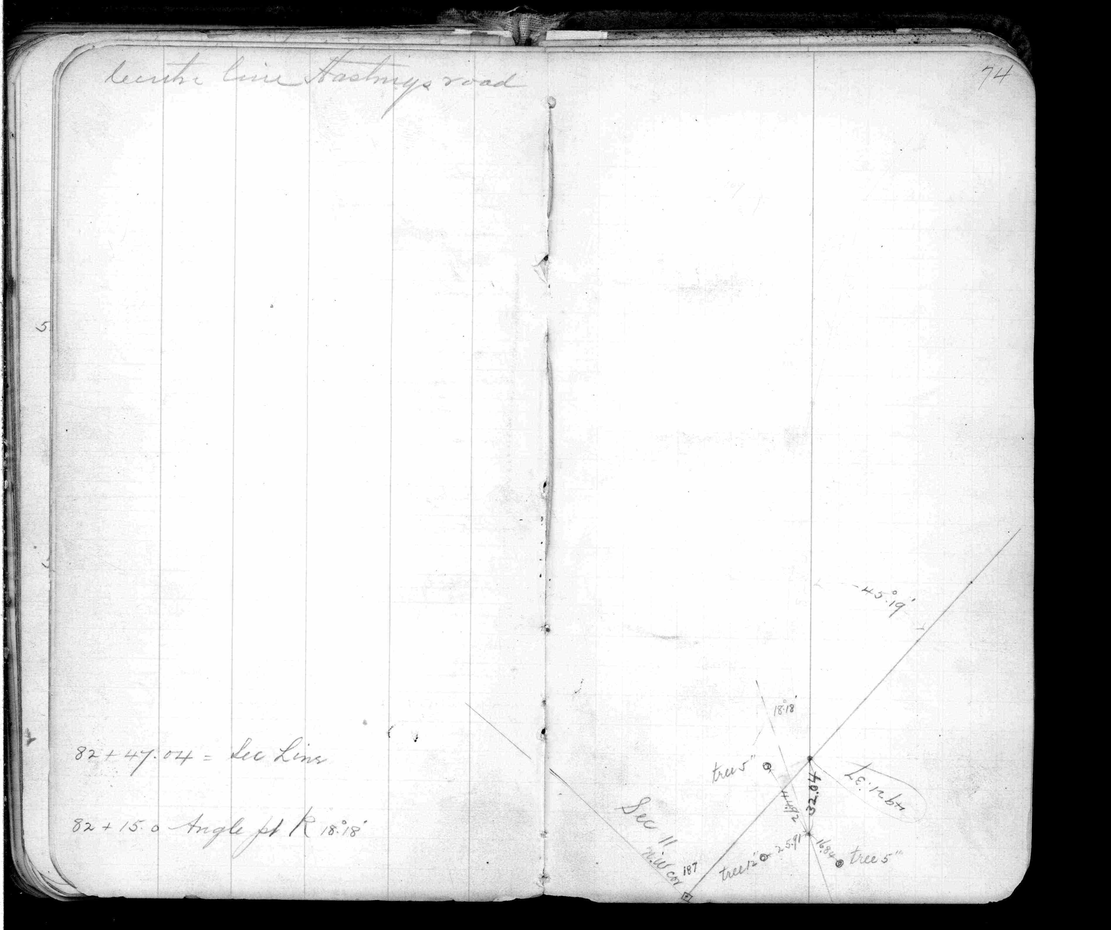
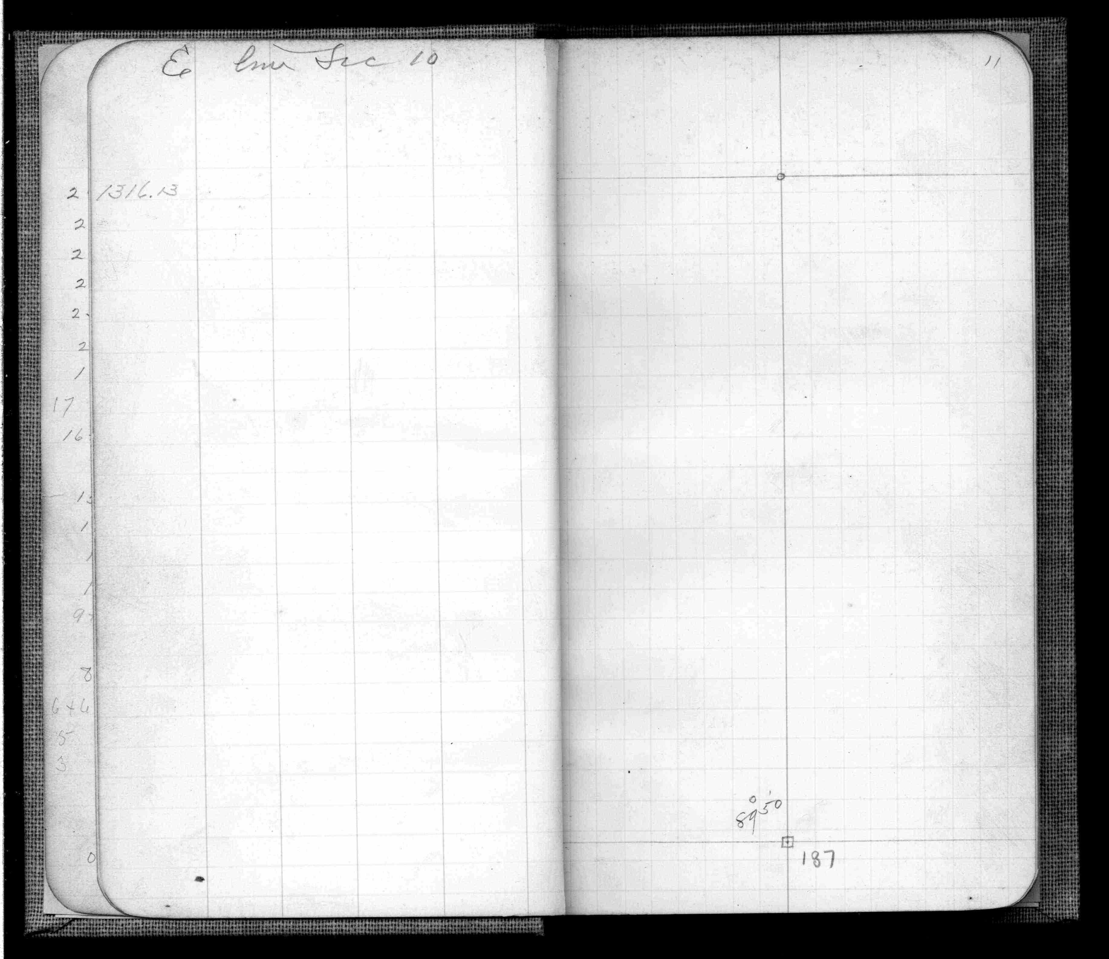
| IH p.082-083 | FB 0342p. 07 ,08 ,61 ,74 | |||||
| FB 0355CPYp.75 | ||||||
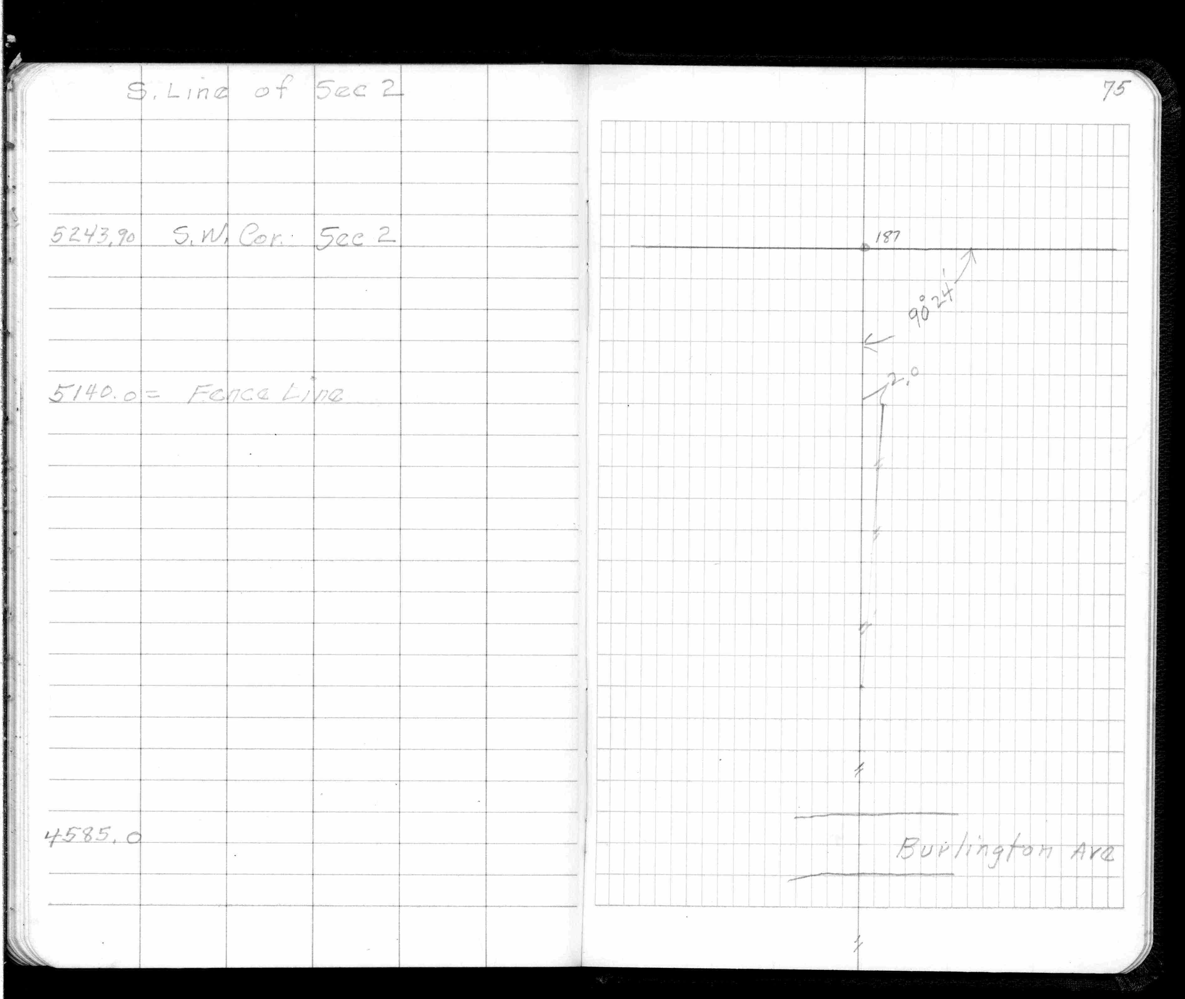
| FB 0360p.11 | ||||||
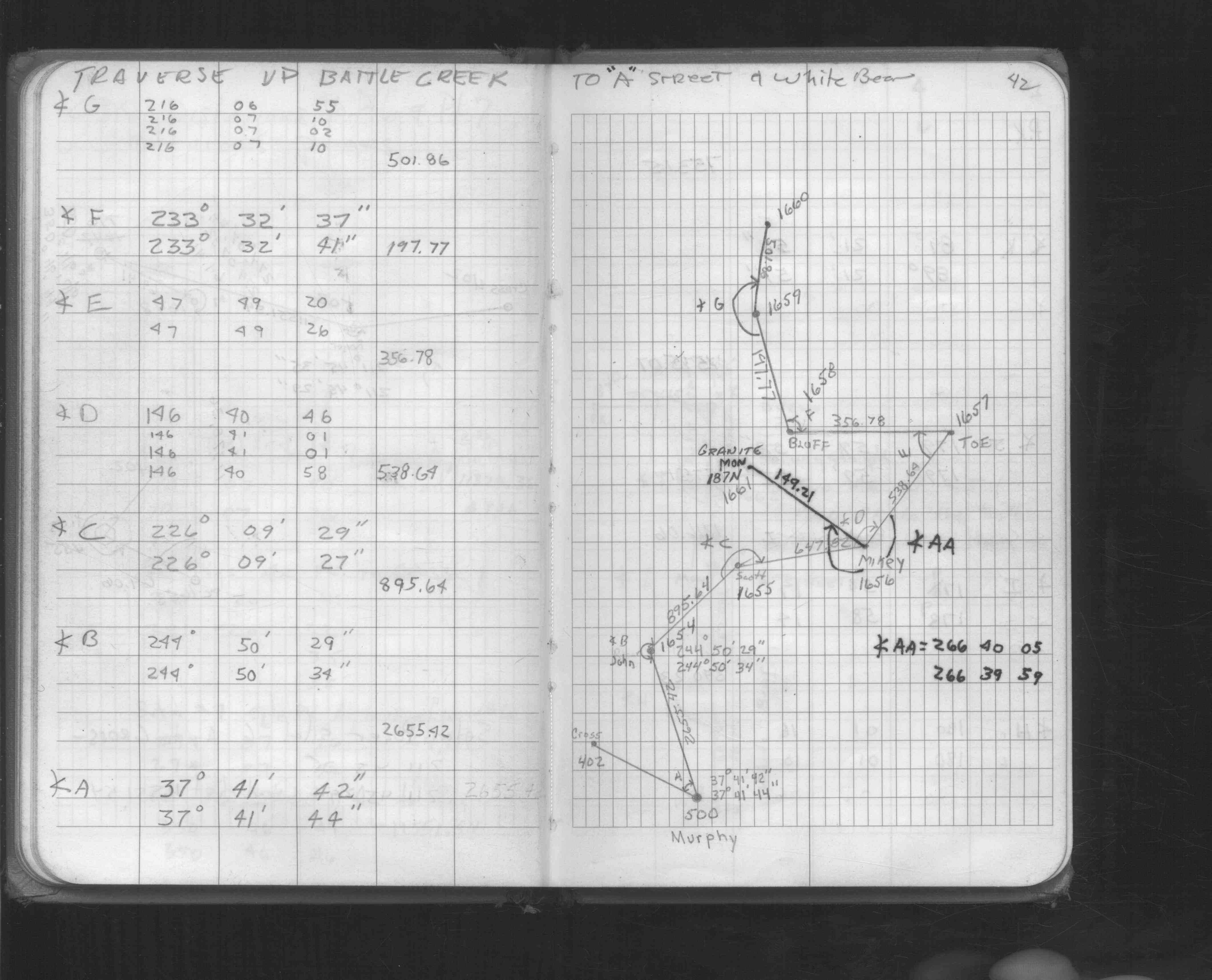
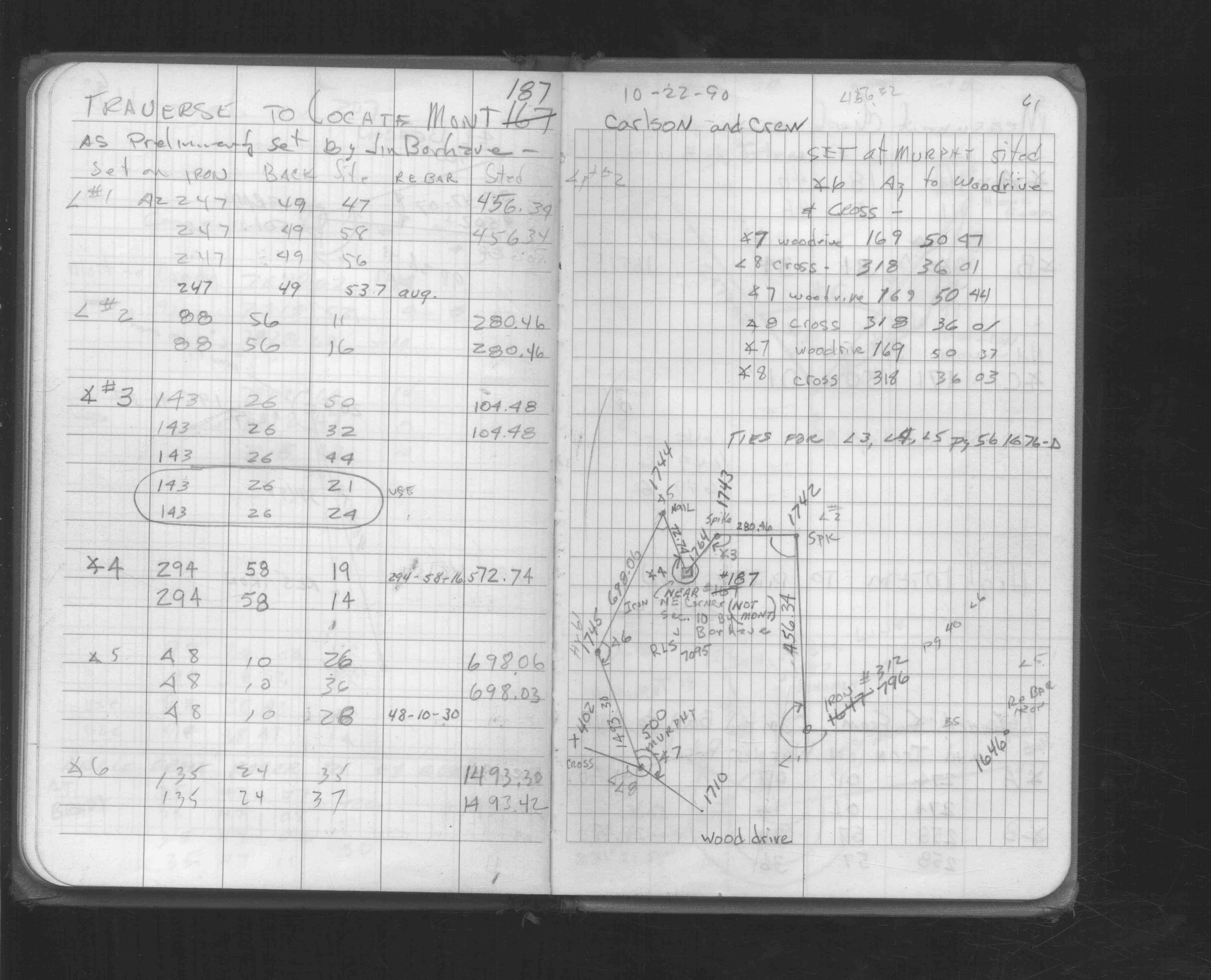
| FB 1549Kp. 42 ,61 |
| FILE | SURVEYOR | LIC. NO. | DATE SIGNED | DATE TIED |
|---|---|---|---|---|
| 0187-2247-A.tif | William J. Cutting | 20576 | April 3, 1992 | March 18, 1992 |
| ST_157-234p187.jpg | none | none | none | none |
| 0187-2247-A.dwf | none | none | none | none |
| FILE | PHOTO DATE | COMMENTS |
|---|---|---|
| 0187-2247-4.jpg | January 31, 2013 | Close up of protector sign. |
| 0187-2247-3.jpg | January 31, 2013 | Close up of monument location. |
| 0187-2247-2.jpg | January 31, 2013 | Close up of monument location. |
| 0187-2247-1.jpg | January 31, 2013 | Close up of monument. |