| NAD83 COORDINATES (1986 adj.): |
|---|
| X= 553348.794 Y= 157026.164 Z= 000.00 CMP 12/17/1991 C |
| X= 553348.73 Y= 157025.94 Z= 925.0 06/20/2003 RTK-VRS |
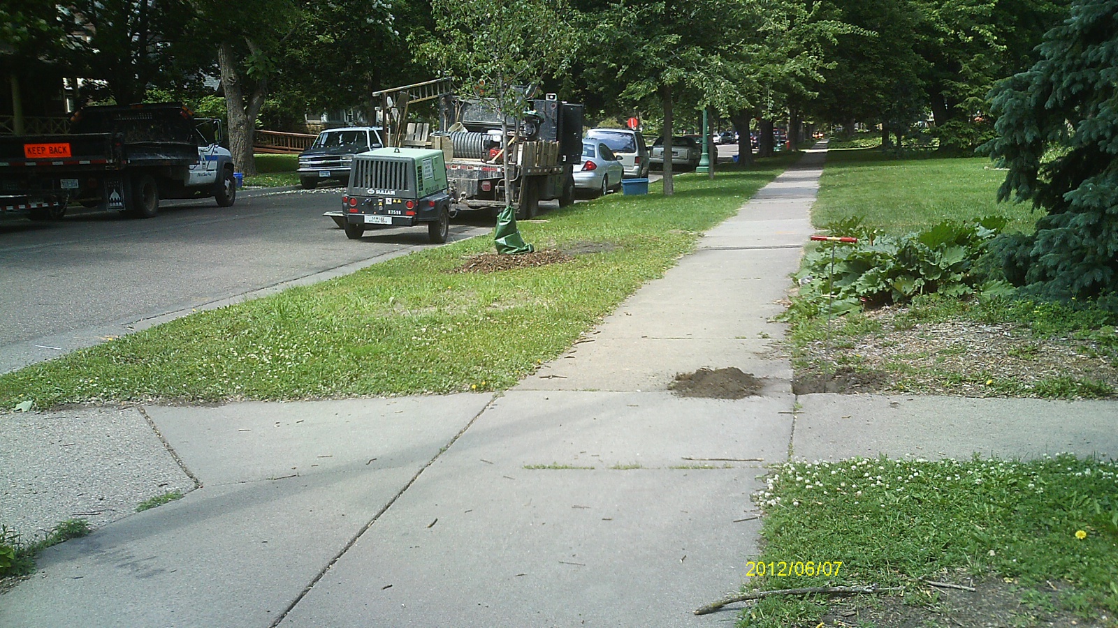
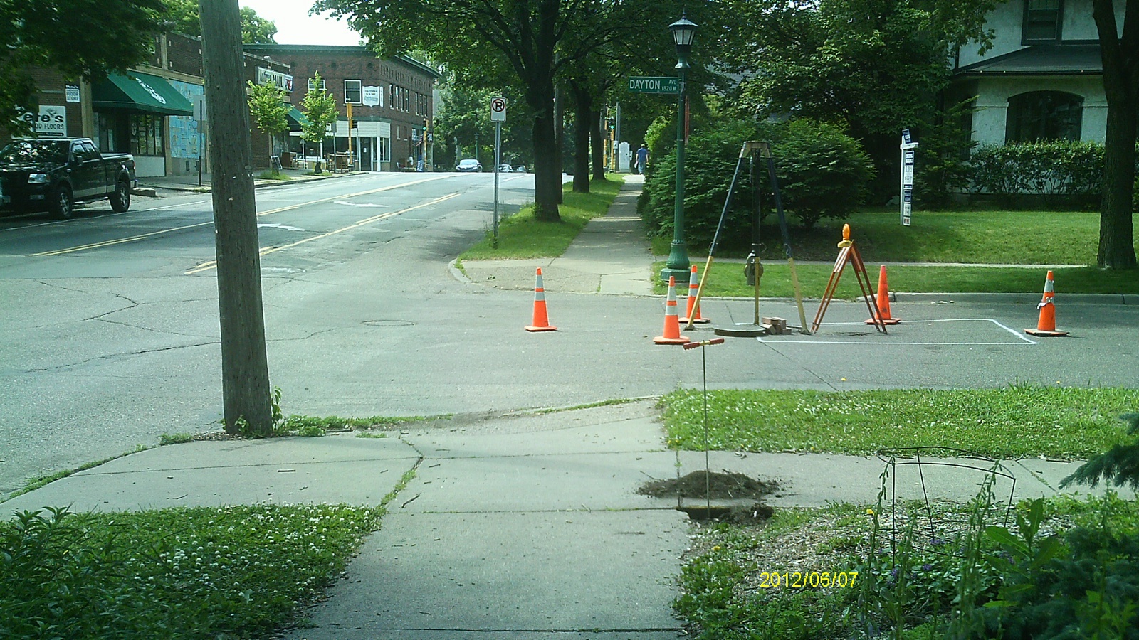
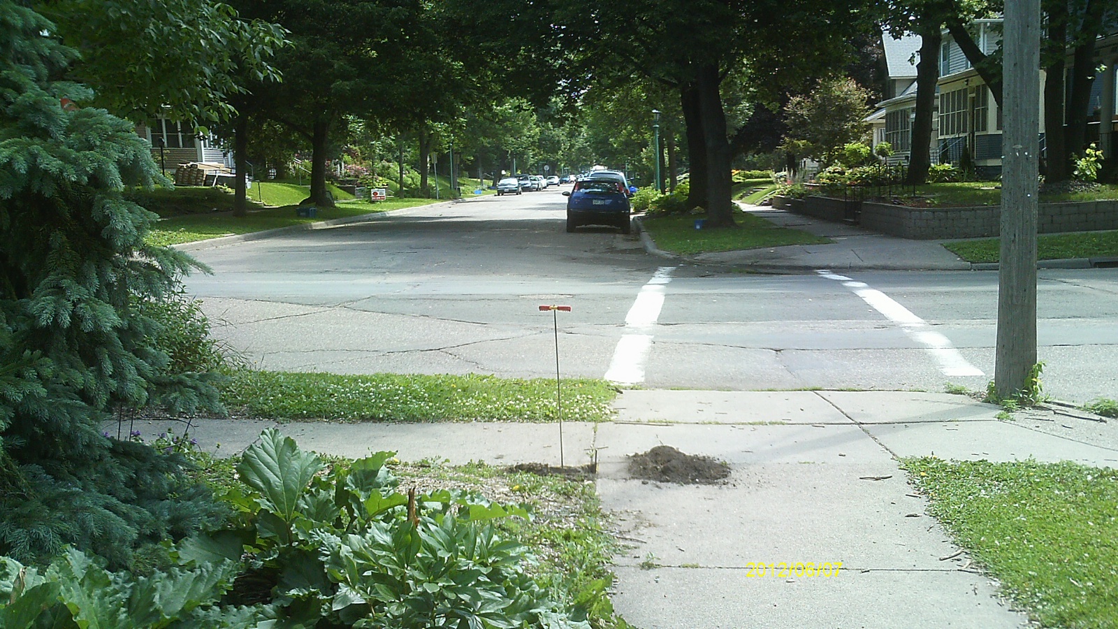
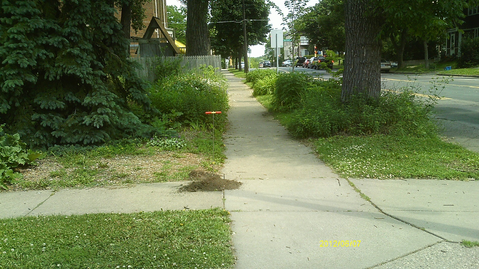
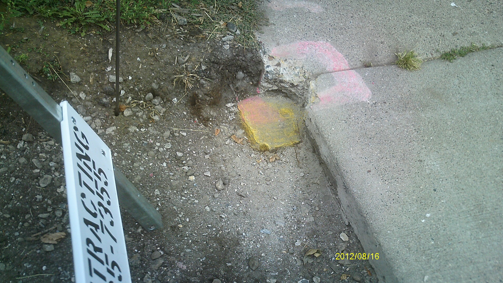
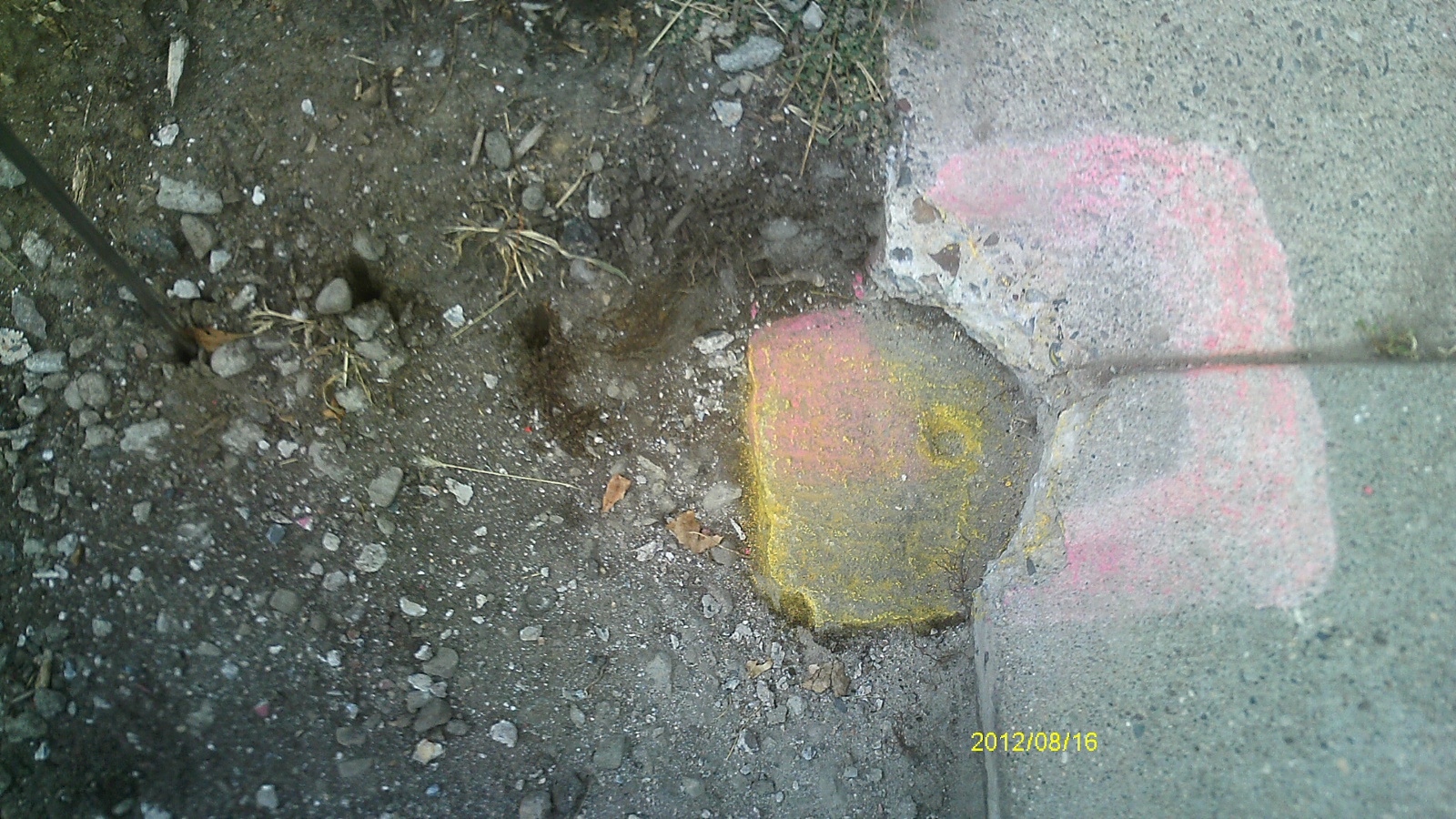
| 8/16/2012 | Fd GM 0.4 ft below sidewalk grade. Photos taken. |
| 6/20/2003 | Position on GM established by RTK-VRS GPS. Placed magnet. |
| 10/1/2001 | (Unknown date Oct __, 2001 ) Fd GM 0.43 ft below walk. |
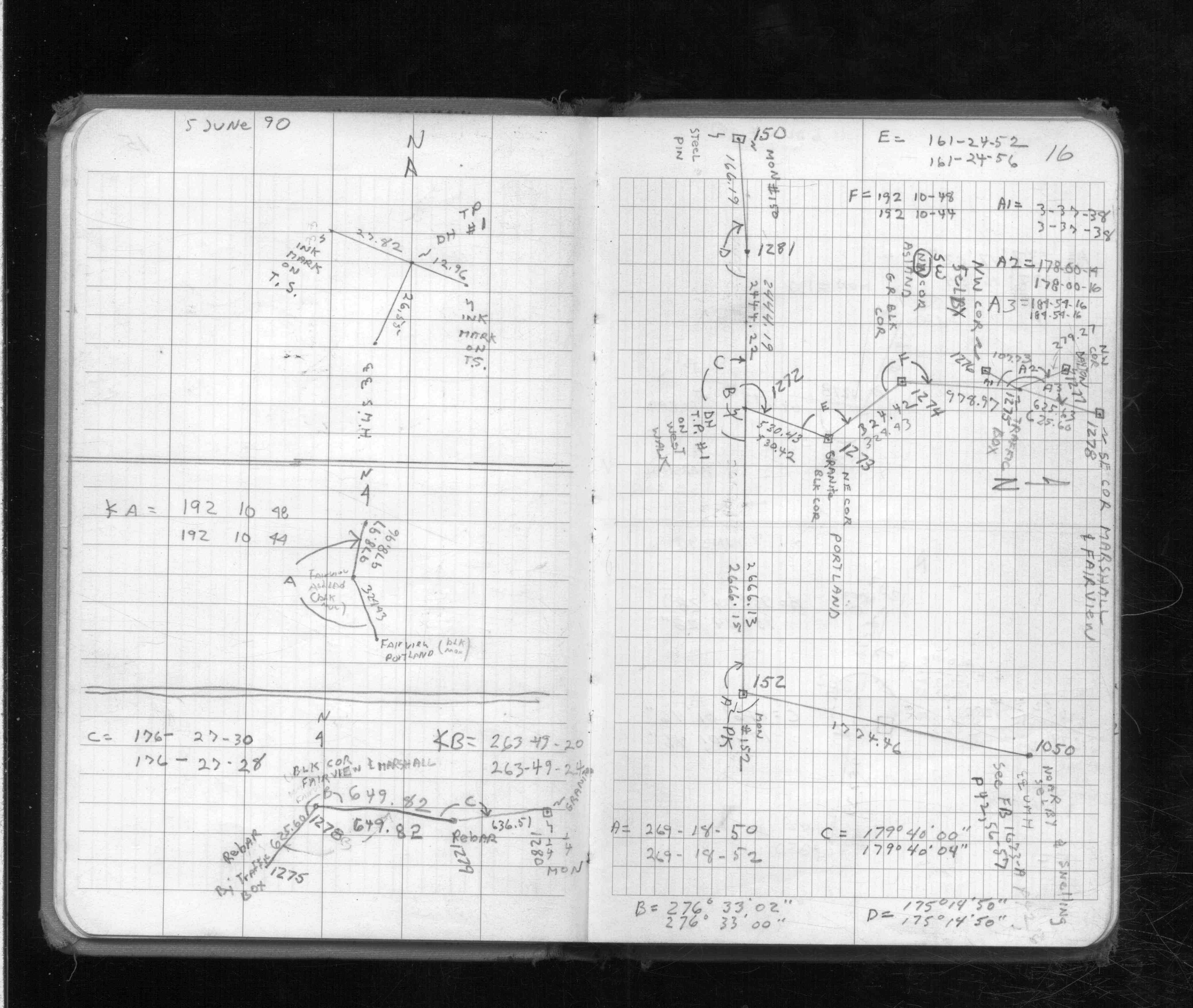
| 6/5/1990 | Located SM by traverse (single stub). See FB 1713 p.16 |
| 1/1/1887 | (Unknown date Jan __, 1887 ) Monument set by T J Murray in place of original iron at block cor |
Above is NOT an all inclusive history of this point. Please review all the links below.
| PLS NOTES | Field | Cross Section | Sewer | J.B. Irvine | Monument | River Survey |
|---|---|---|---|---|---|---|
| FB 1713p.16 |
| FILE | PHOTO DATE | COMMENTS |
|---|---|---|
| 1277-0860C-6.jpg | August 16, 2012 | Looking west along Dayton Ave. |
| 1277-0860C-5.jpg | August 16, 2012 | Looking south along Fairview Ave. |
| 1277-0860C-4.jpg | August 16, 2012 | Looking east along Dayton Ave. |
| 1277-0860C-3.jpg | August 16, 2012 | Looking north along Fairview Ave. |
| 1277-0860C-2.jpg | August 16, 2012 | Close up of monument location. |
| 1277-0860C-1.jpg | August 16, 2012 | Close up of monument. |