| NAD83 COORDINATES (1986 adj.): |
|---|
| X= 575679.026 Y= 155219.036 Z= 000.00 CMP 12/17/1991 |
| 1/1/1951 | (Unknown date ___ __, 1951 ) Corps of Engs recovered 8"x 8"x 30" mon't with 3/4" hole, 10" below grade. |
| 1/1/1949 | (Unknown date ___ __, 1949 ) Corps of Engs raised mon't during small boat harbor dredging. |
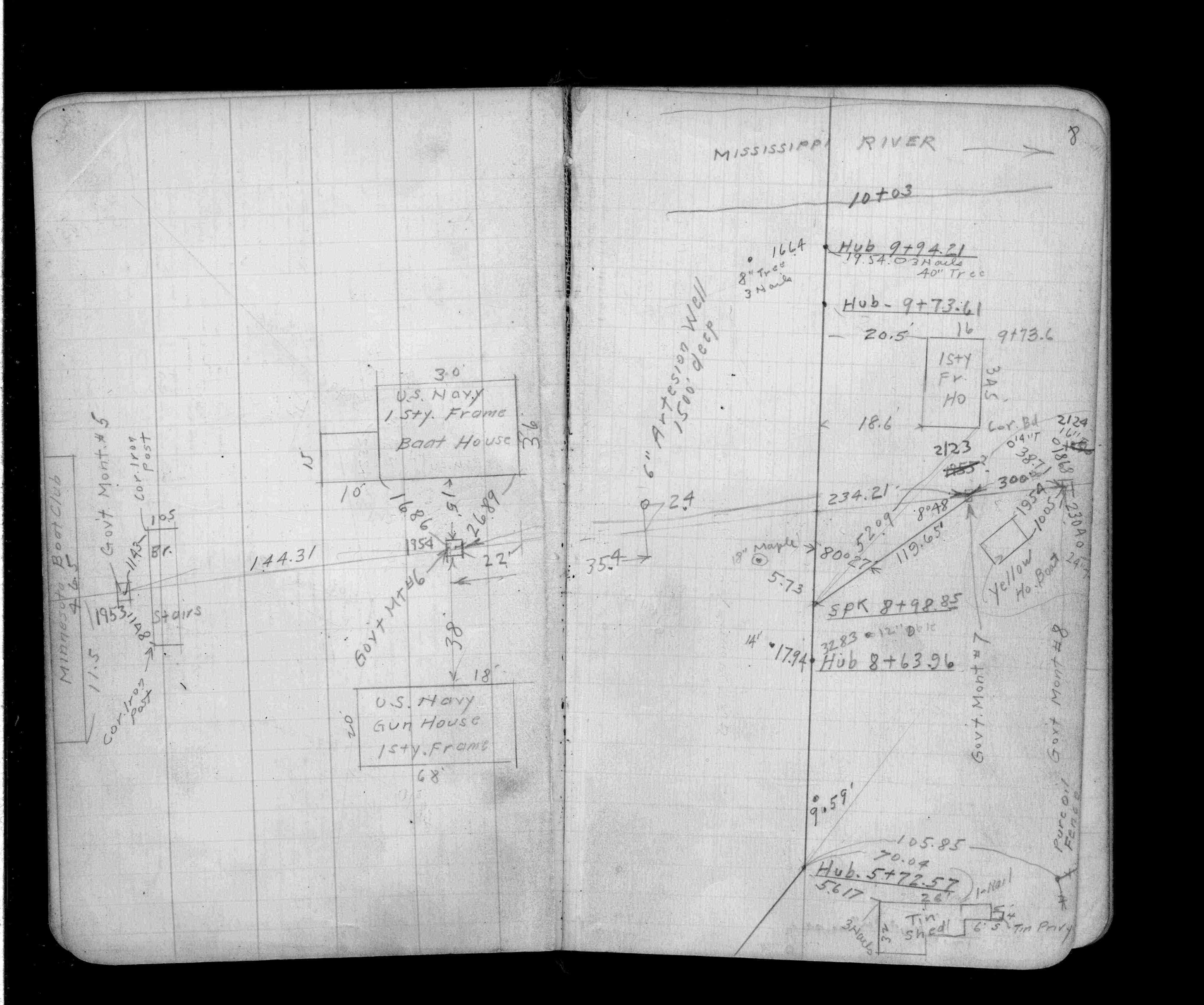
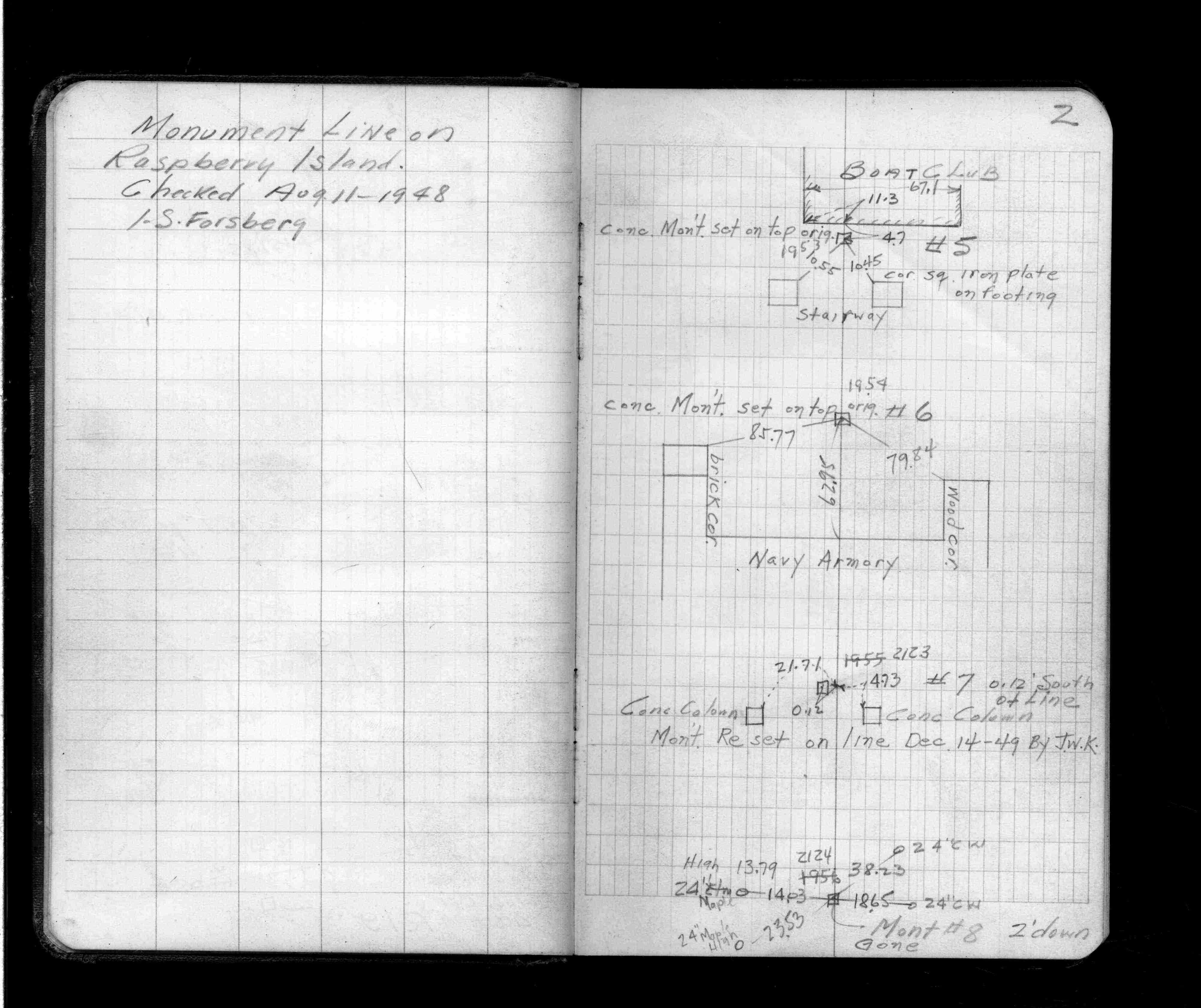
| 8/1/1948 | (Unknown date Aug __, 1948 ) Placed ties on concrete monument set over original. See FB 1395 p.2 |
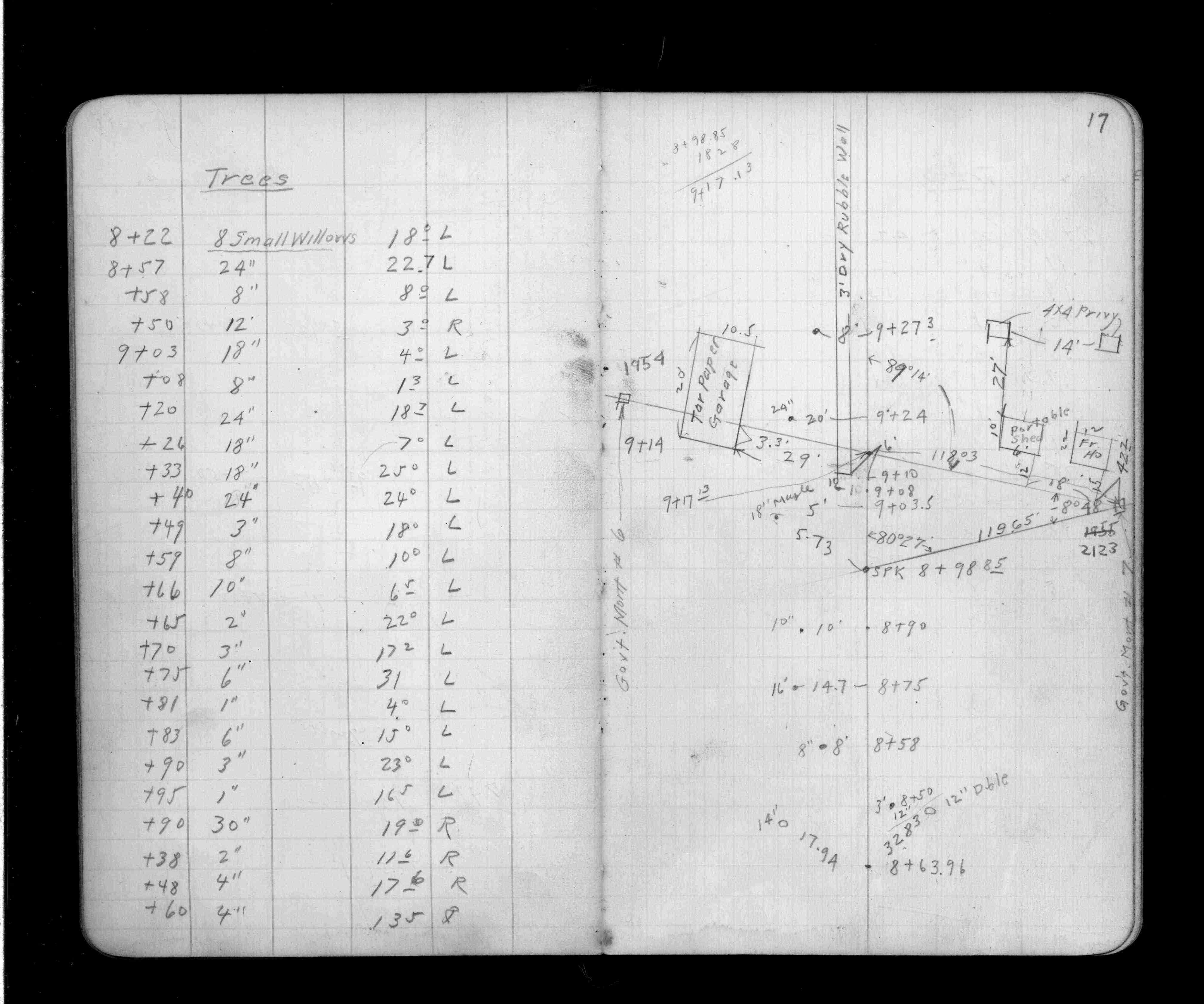
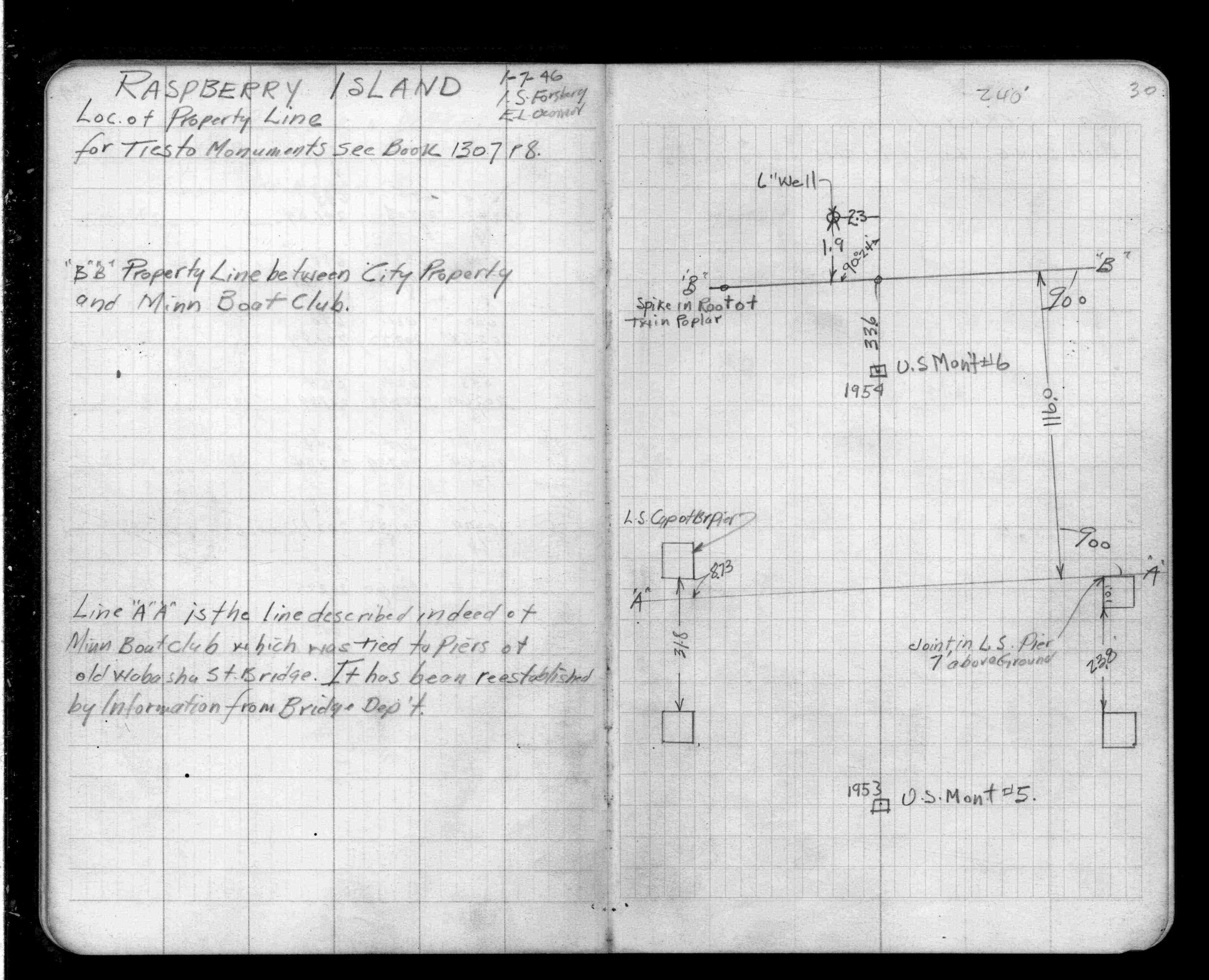
| 1/1/1800 | (Unknown date ___ __, ____ ) Placed ties. See FB 1307 p.8 |
Above is NOT an all inclusive history of this point. Please review all the links below.
| PLS NOTES | Field | Cross Section | Sewer | J.B. Irvine | Monument | River Survey |
|---|---|---|---|---|---|---|
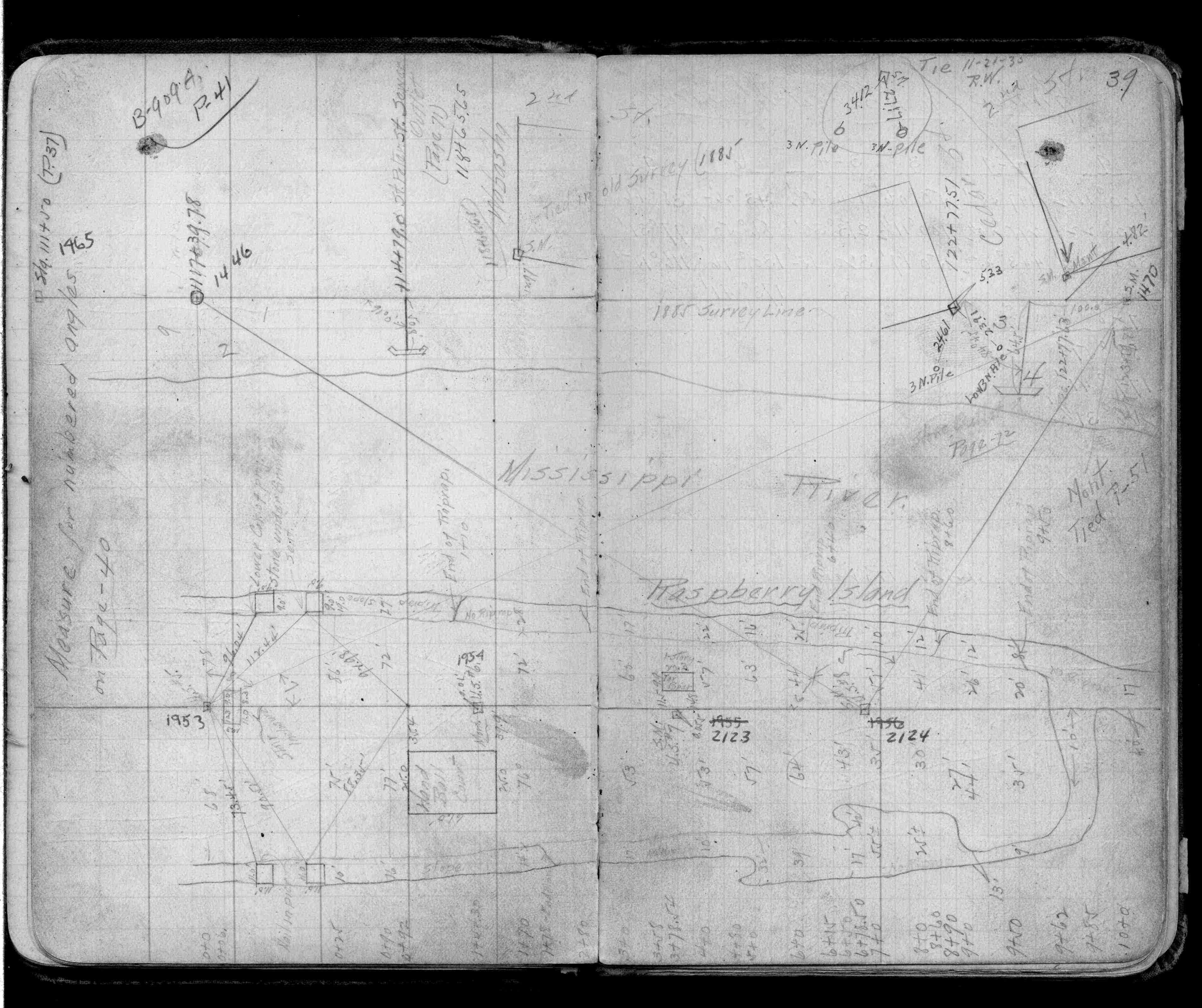
| FB 0909p.39 | ||||||
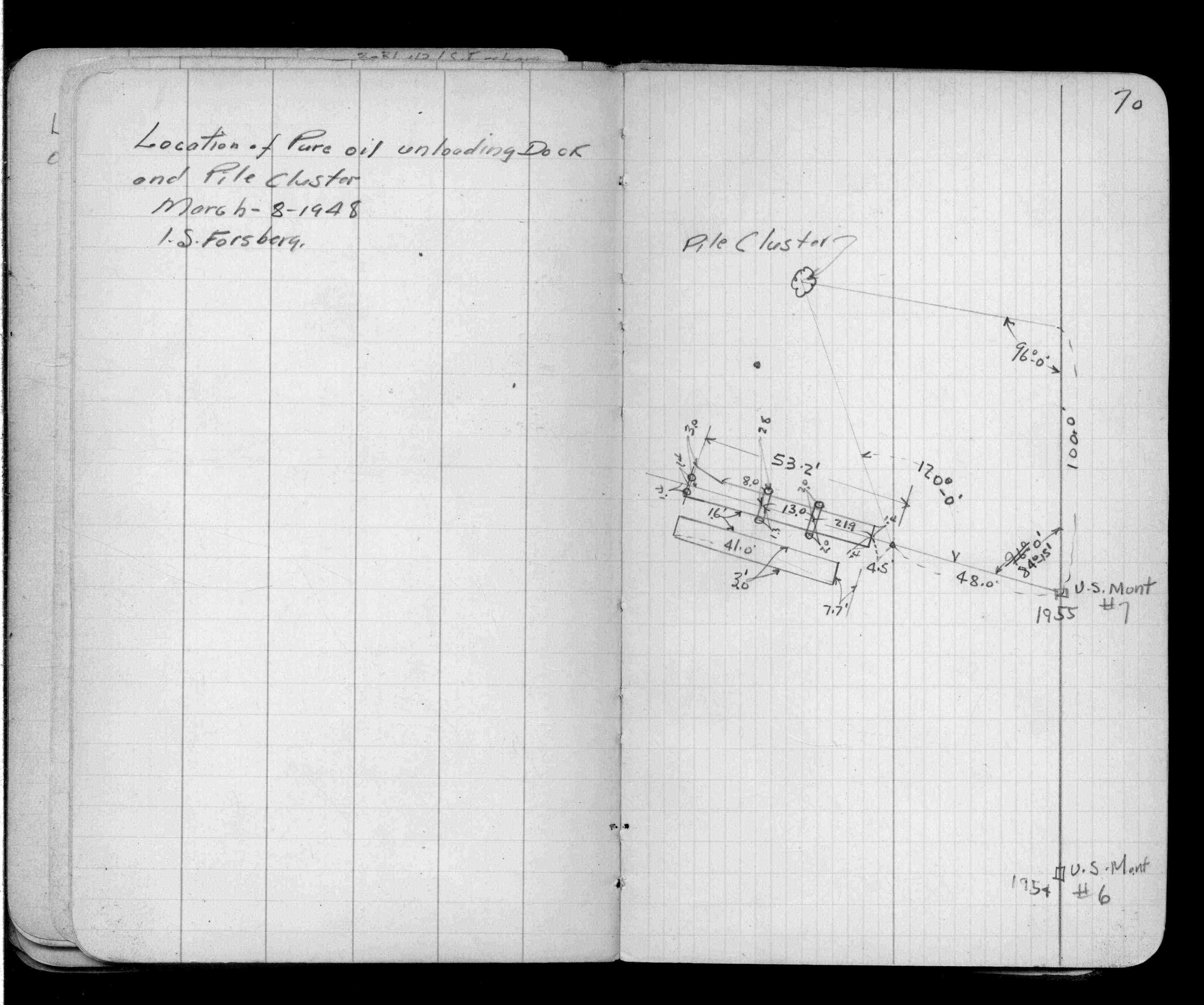
| FB 0909Ap.70 | ||||||
| FB 1307p.08 | ||||||
| FB 1307p. 08 ,17 | ||||||
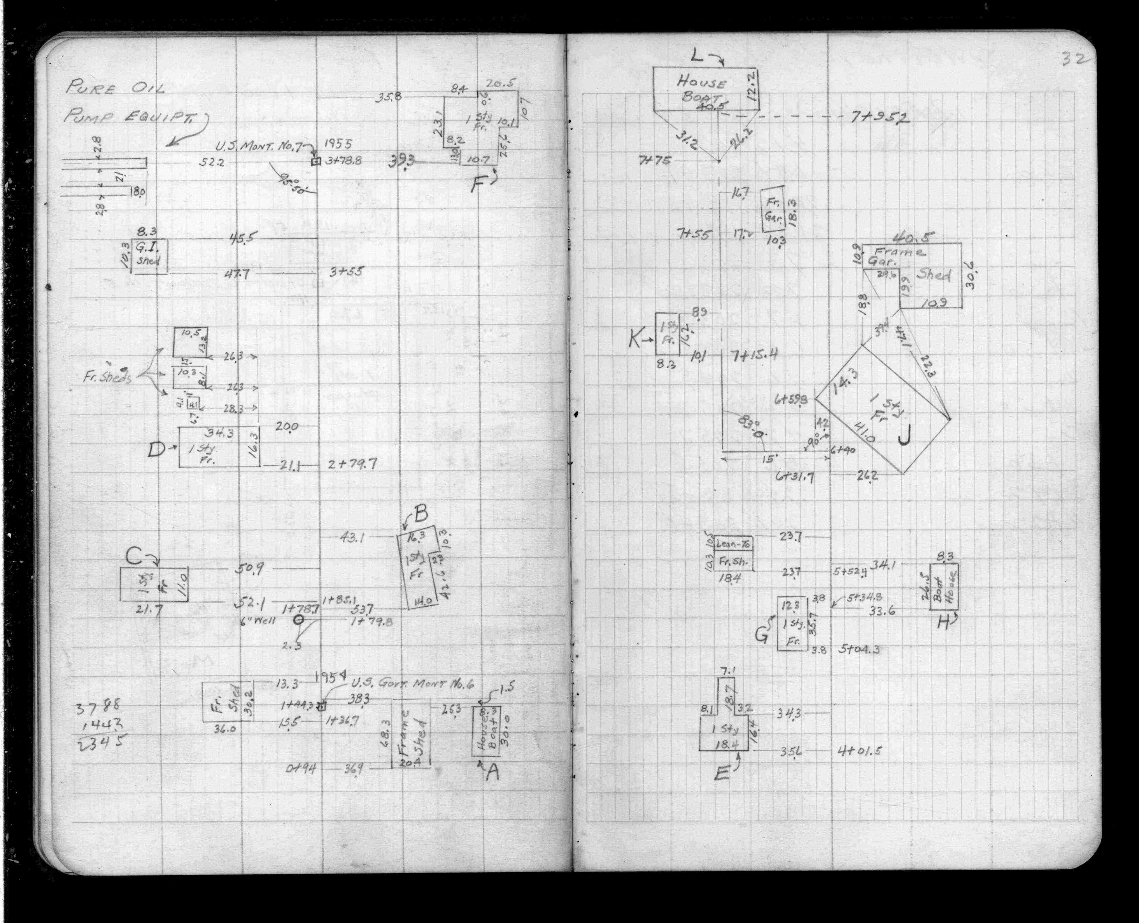
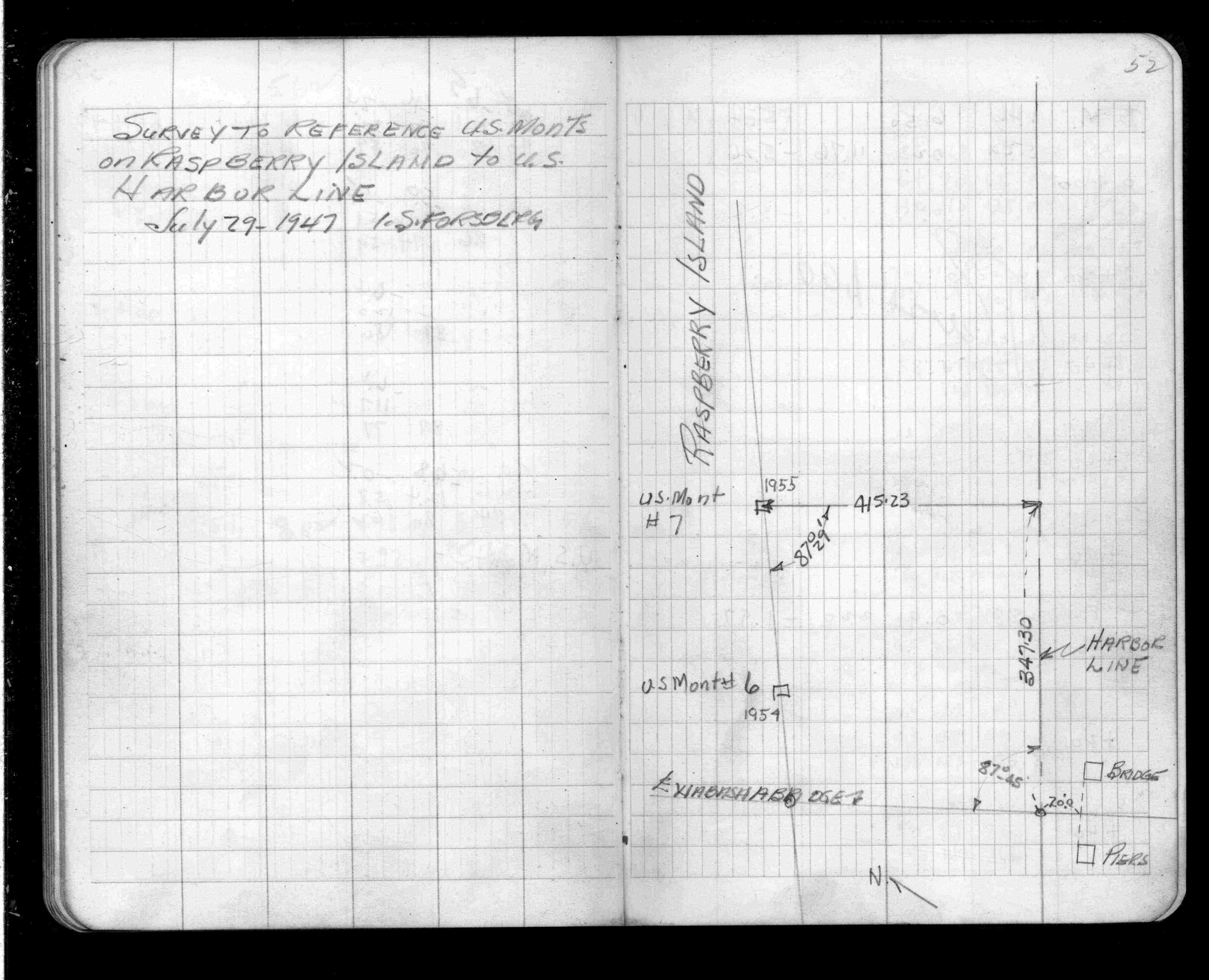
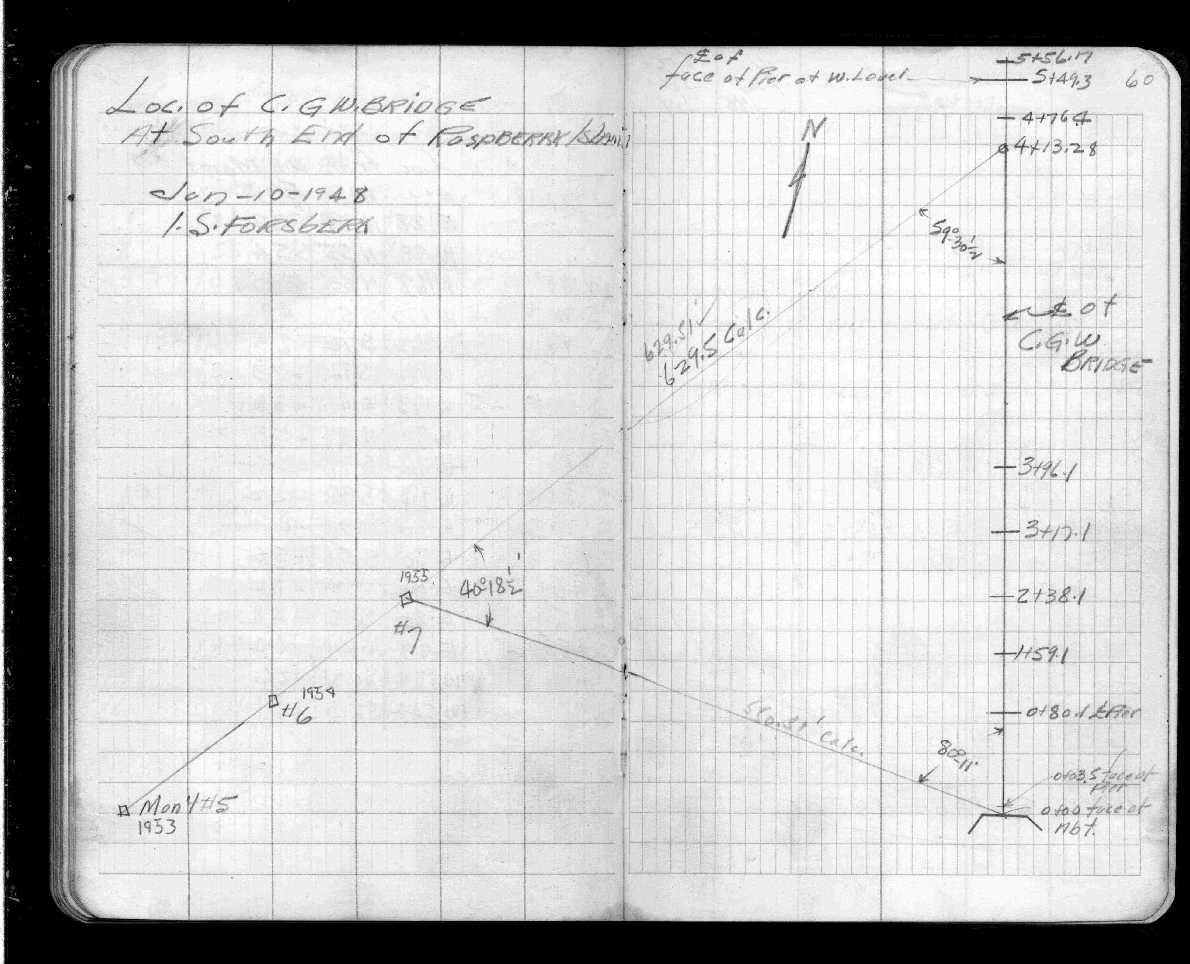
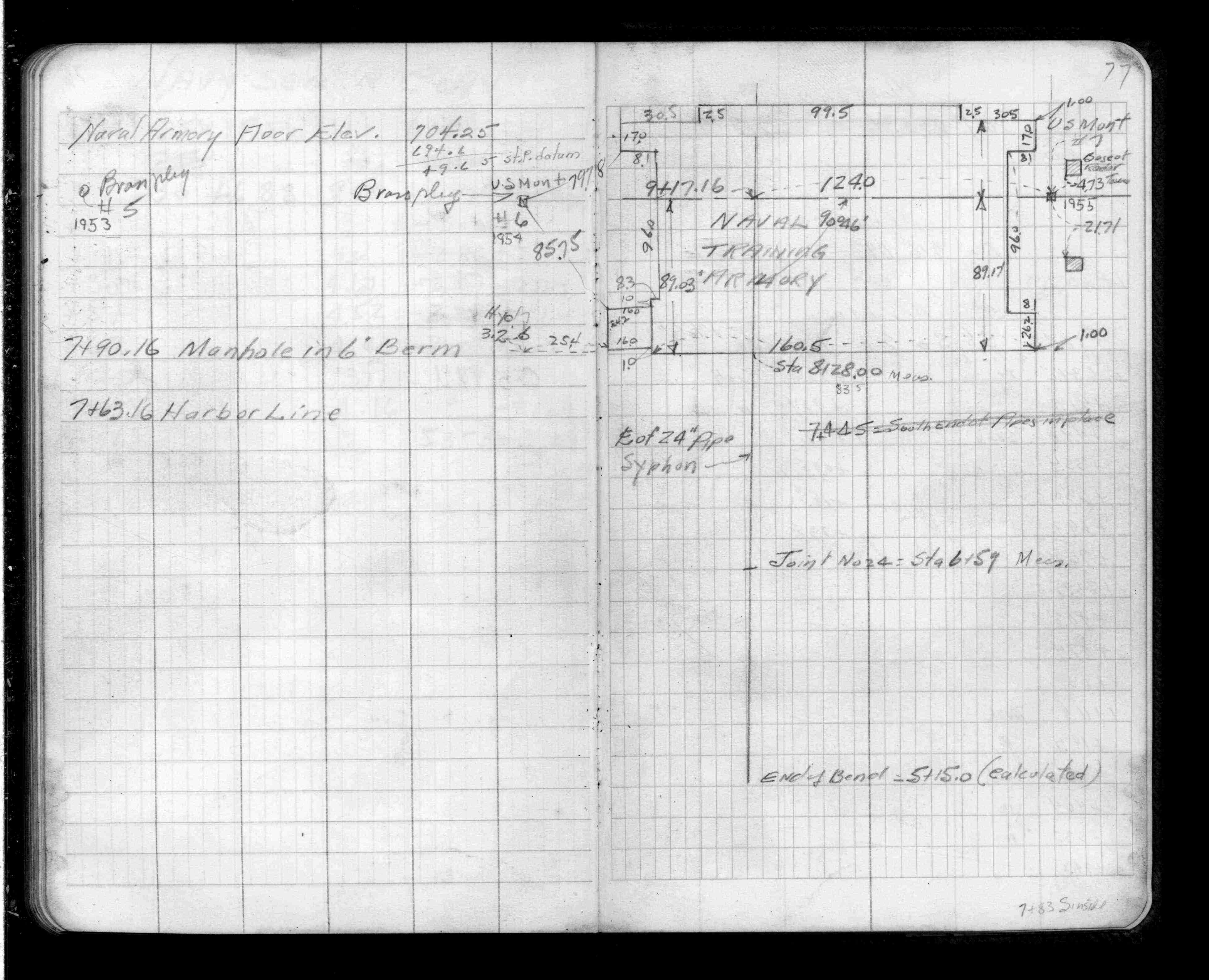
| FB 1364p. 30 ,32 ,52 ,60 ,77 | ||||||
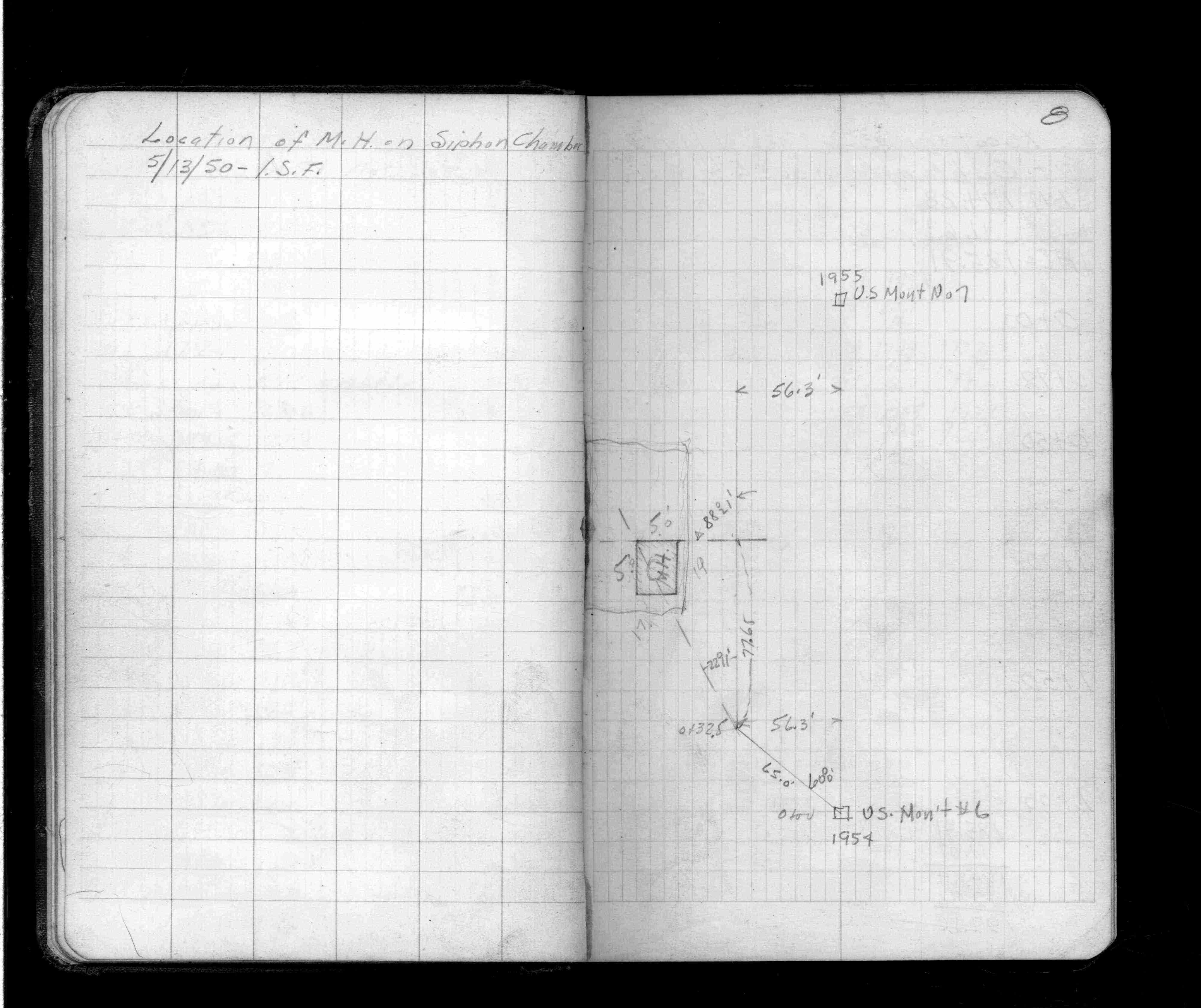
| FB 1395p.02 | ||||||
| FB 1395p. 02 ,08 |