| NAD83 COORDINATES (1986 adj.): |
|---|
| X= 563961.047 Y= 156224.555 Z= 000.00 CMP 12/17/1991 |
| X= 563960.872 Y= 156224.566 Z= 920.2 03/08/2006 RTK-VRS |
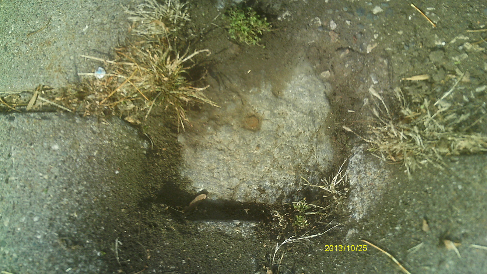
| 10/25/2013 | Found GM 0.1 ft below sidewalk grade. Photos taken. |
| 3/8/2006 | Position on GM established by RTK-VRS GPS. Elev 920.2 ft Placed magnet in the hole. |
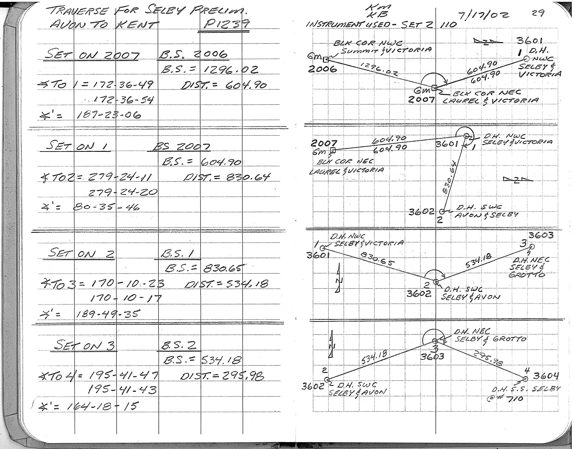
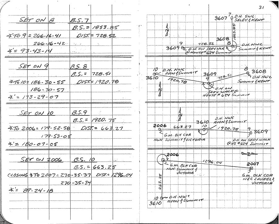
| 7/17/2002 | Fd GM, used as control for traverse. See FB 1737 p.29,31 |
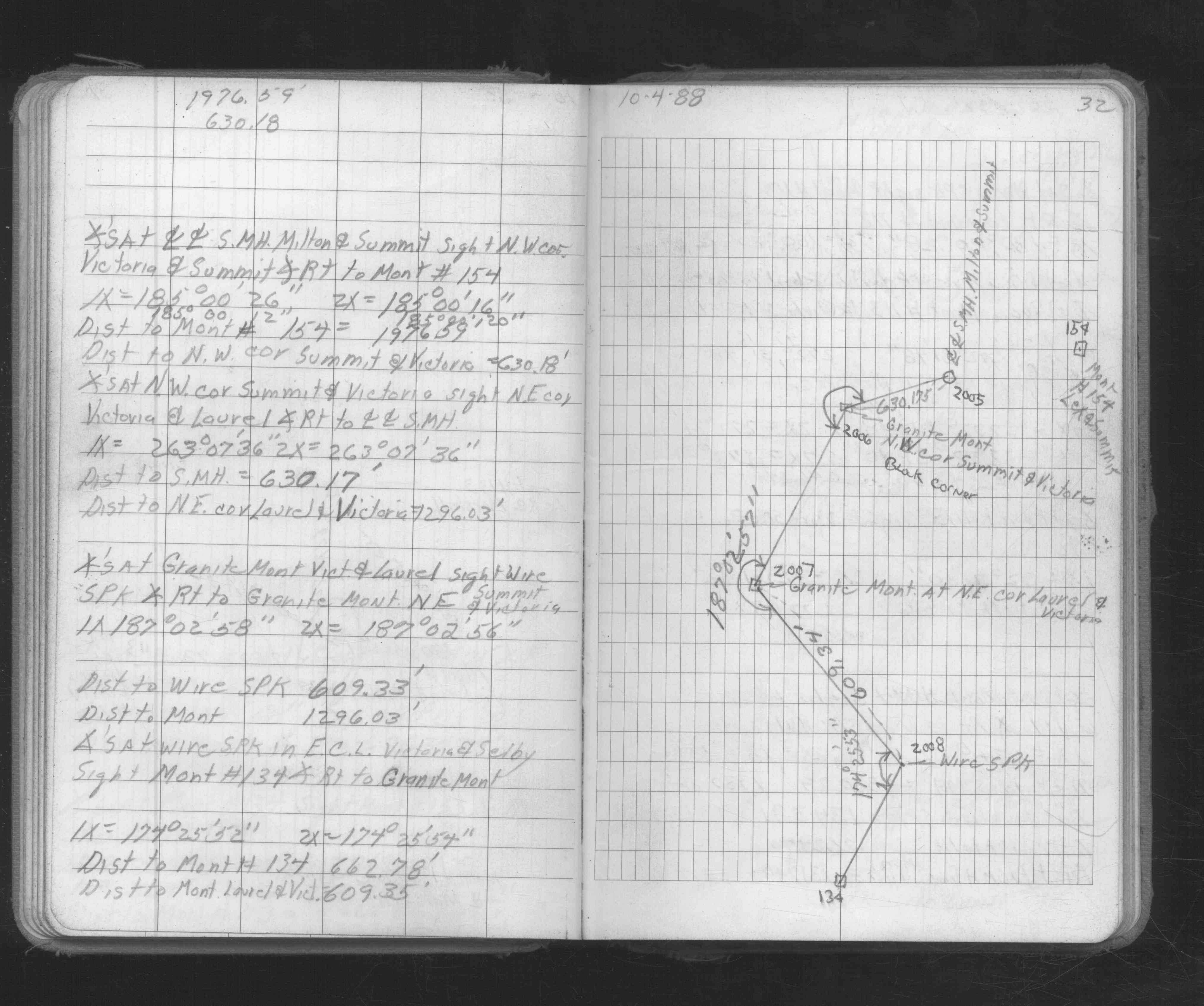
| 10/4/1988 | Fd GM traversed thourgh. See FB 1673A p.32 |
| 2/1/1887 | (Unknown date Feb __, 1887 ) Monument set from measurements by McCoy (not original stakes) |
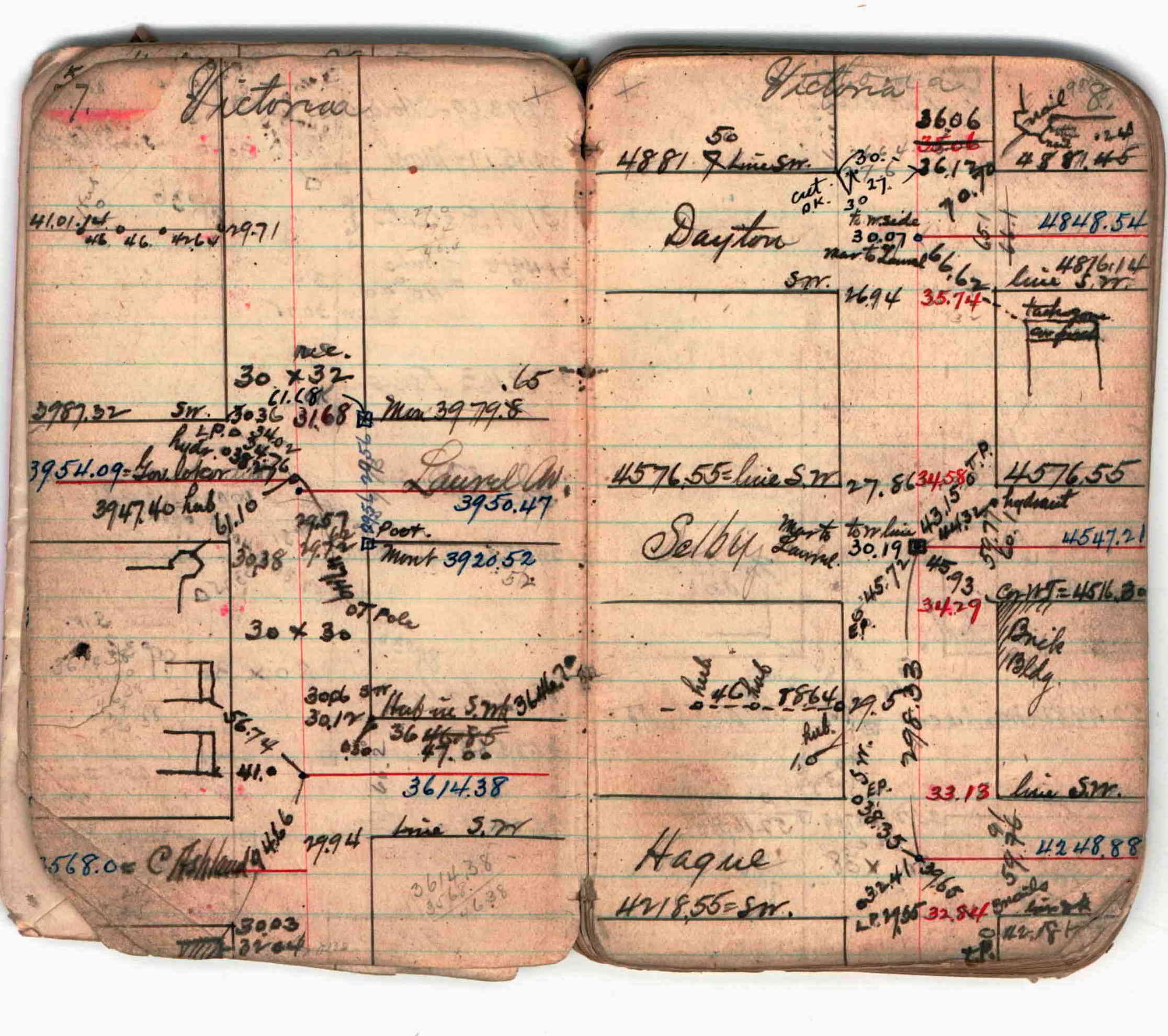
| 1/1/1800 | (Unknown date ___ __, ____ ) Survey on Victoria St from St Clair to Marshall Ave. See JBI 02 p.07-08 |
Above is NOT an all inclusive history of this point. Please review all the links below.
| PLS NOTES | Field | Cross Section | Sewer | J.B. Irvine | Monument | River Survey |
|---|---|---|---|---|---|---|
| FB 1673Ap.32 | JBI 02 p.07-08 | |||||
| FB 1737p. 29 ,31 | ||||||
| FB 1737p. 29 ,31 |
| FILE | PHOTO DATE | COMMENTS |
|---|---|---|
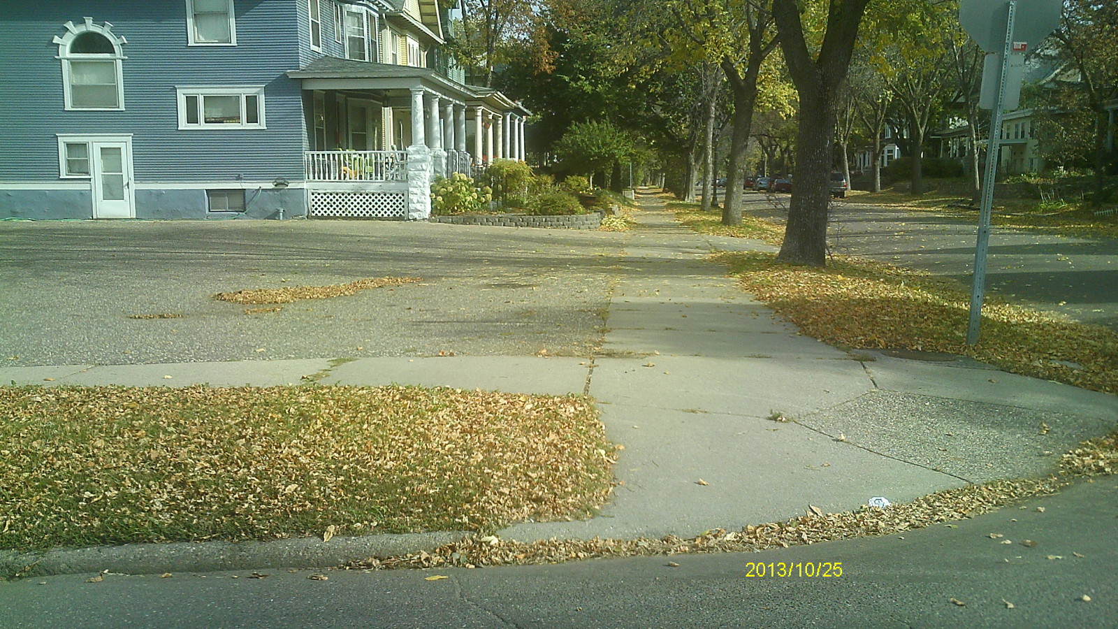
| 2007-0885A-5.jpg | October 25, 2013 | Looking west along Laurel Ave. |
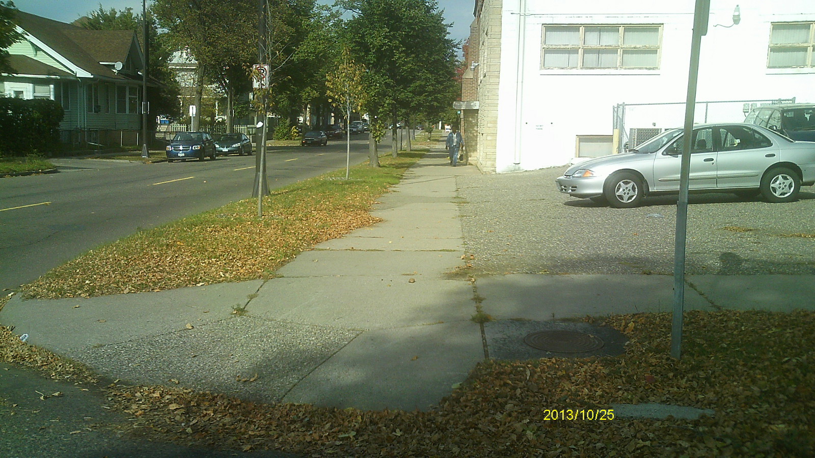
| 2007-0885A-4.jpg | October 25, 2013 | Looking south along Victoria St. |
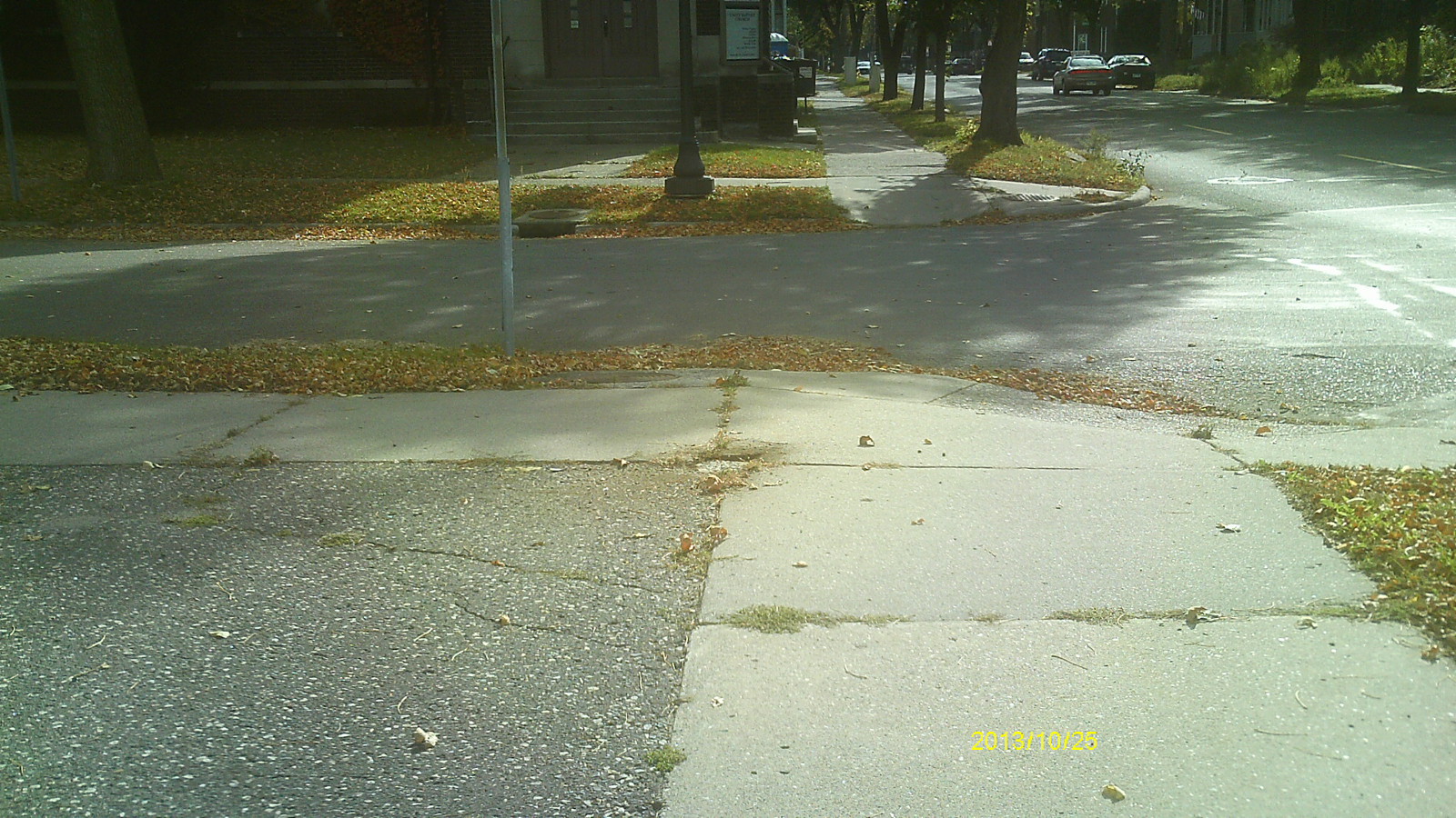
| 2007-0885A-3.jpg | October 25, 2013 | Looking east along Laurel Ave. |
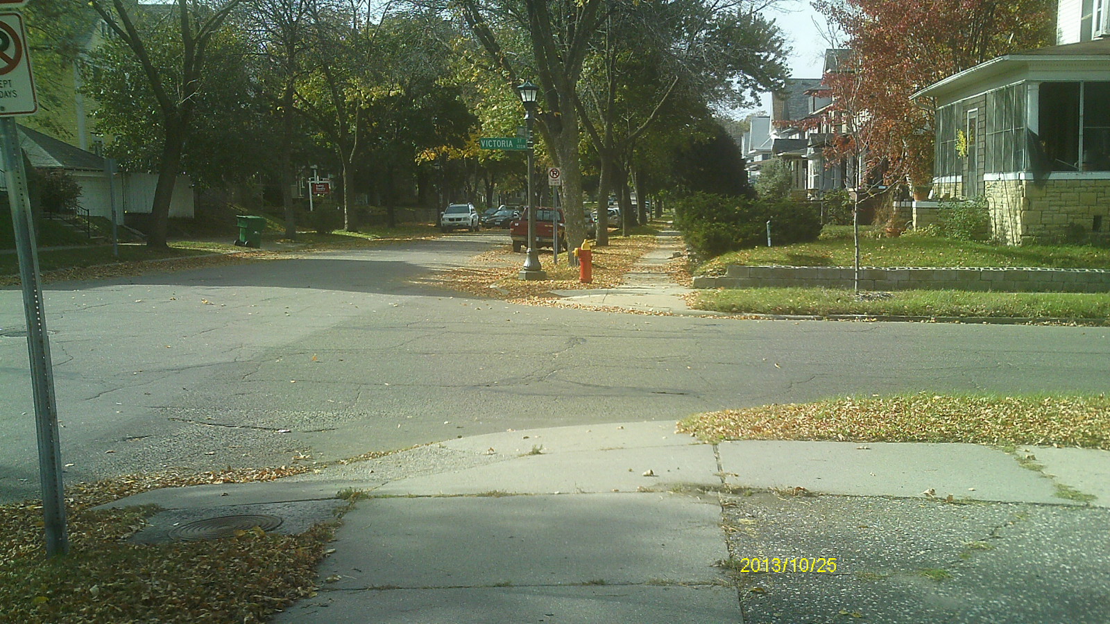
| 2007-0885A-2.jpg | October 25, 2013 | Looking north along Victoria St. |
| 2007-0885A-1.jpg | October 25, 2013 | Close up of monument. |