| NAD83 COORDINATES (1986 adj.): |
|---|
| X= 579558.27 Y= 165431.85 Z= 000.00 09/22/2003 RTK-VRS |
| X= 579558.265 Y= 165431.901 Z= 000.00 LSQ 05/26/1998 FLT |
| 11/19/2012 | GM apparently removed during sidewalk replacement project. |
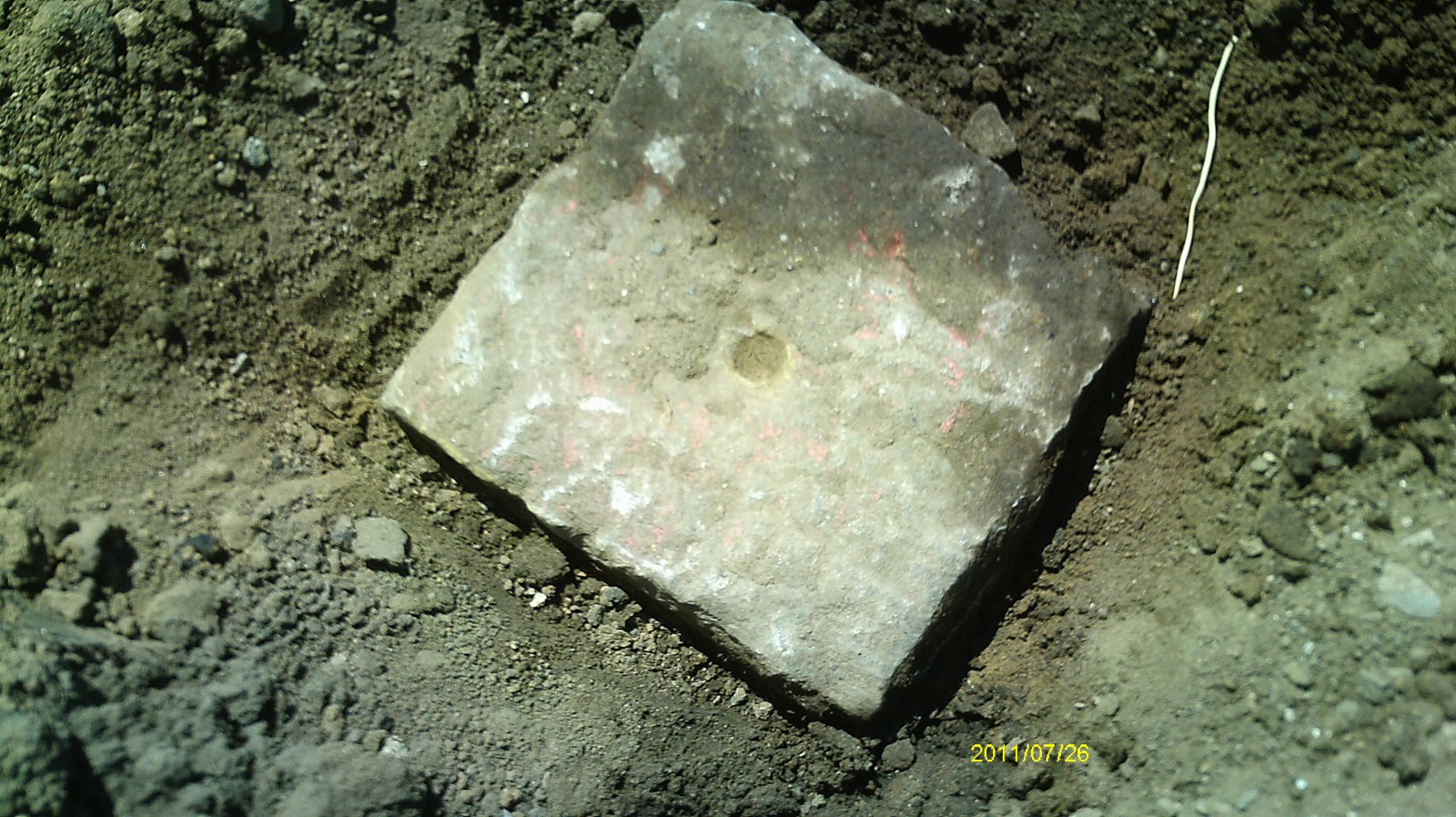
| 7/26/2011 | Found GM at location when sidewalk panels were removed for ped ramp upgrade. Photos taken and ties placed. |
| 9/22/2003 | GM 0.95 ft below walk. Placed magnet in hole of GM. |
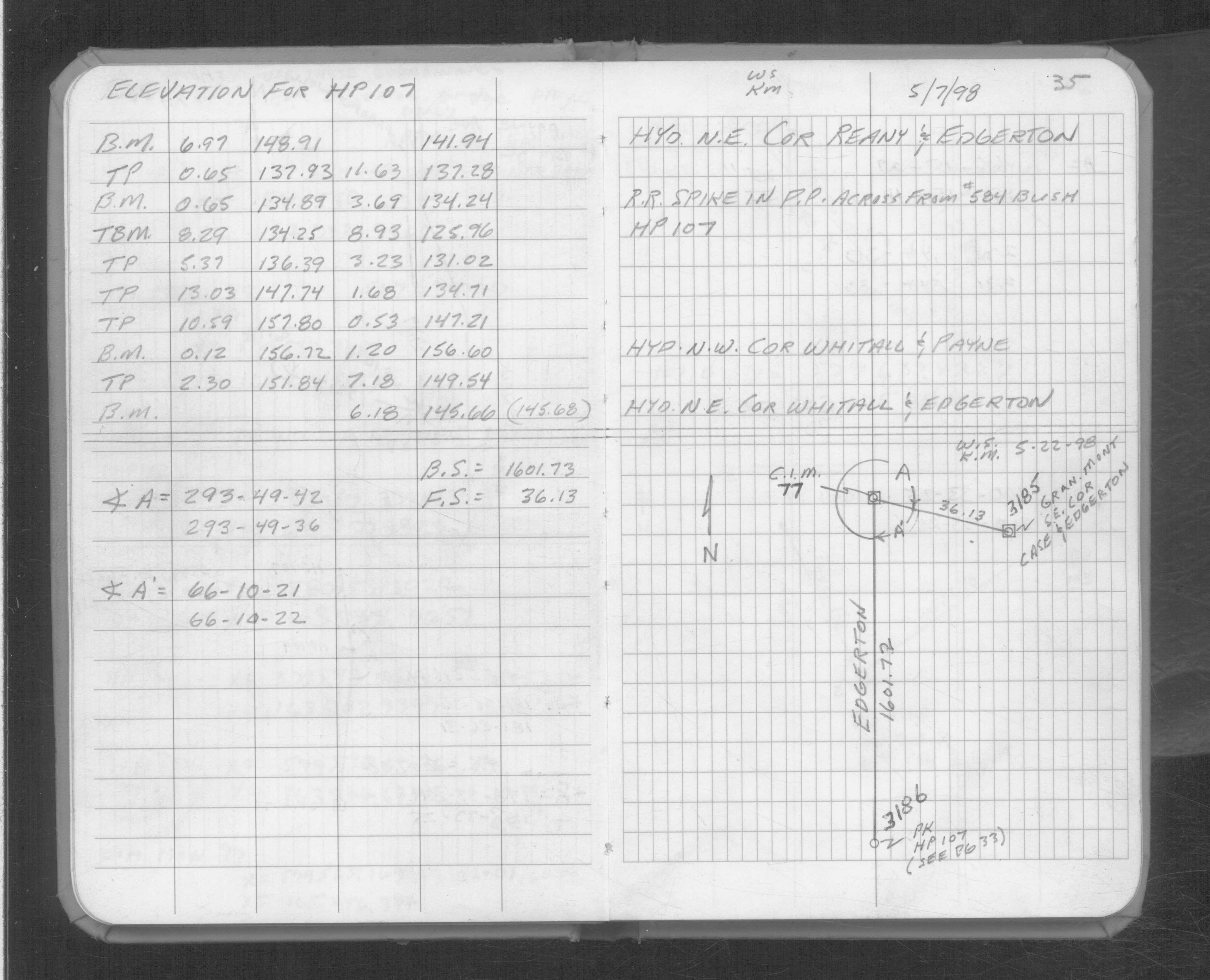
| 5/3/1998 | Located GM by traverse (single stub). See FB 1733 p.35 |
| 1/1/1890 | (Unknown date abt __, 189? ) J B Irvines survey on the 1/4 line on Case. See JBI 23 p.11-12 |
| 1/1/1887 | (Unknown date Jan __, 1887 ) Elev 130.99 ft on monument. See CS 179 p.15 |
| 1/1/1880 | (Unknown date abt __, 188? ) J B Irvines survey on the 1/4 line on Edgerton. See JBI 23 p.03-04 |
Above is NOT an all inclusive history of this point. Please review all the links below.
| PLS NOTES | Field | Cross Section | Sewer | J.B. Irvine | Monument | River Survey |
|---|---|---|---|---|---|---|
| FB 1733p.35 | CS 0179p.15 | JBI 23 p.03-04 | ||||
| JBI 23 p.11-12 |
| FILE | PHOTO DATE | COMMENTS |
|---|---|---|
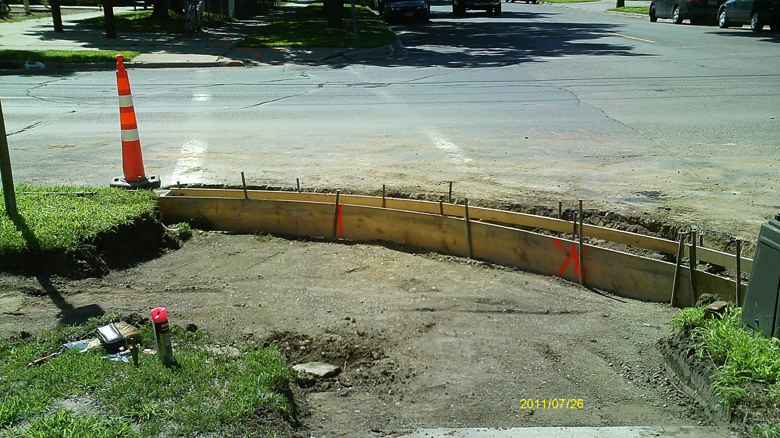
| 3185-0045B-5.jpg | July 26, 2011 | Looking west along Case Ave. |
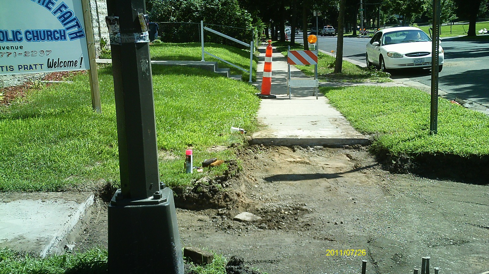
| 3185-0045B-4.jpg | July 26, 2011 | Looking south along Edgerton St. |
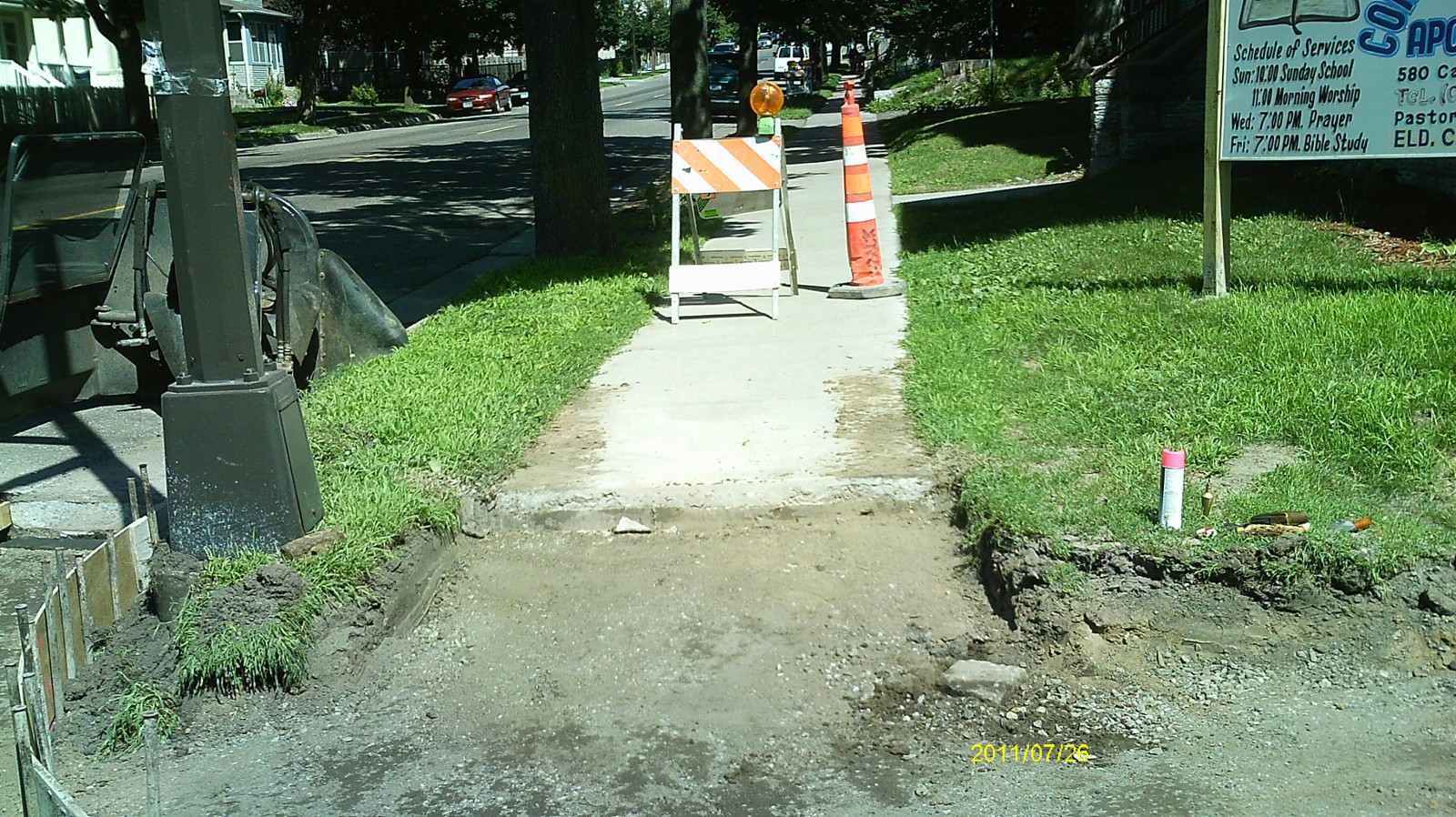
| 3185-0045B-3.jpg | July 26, 2011 | Looking east along Case Ave. |
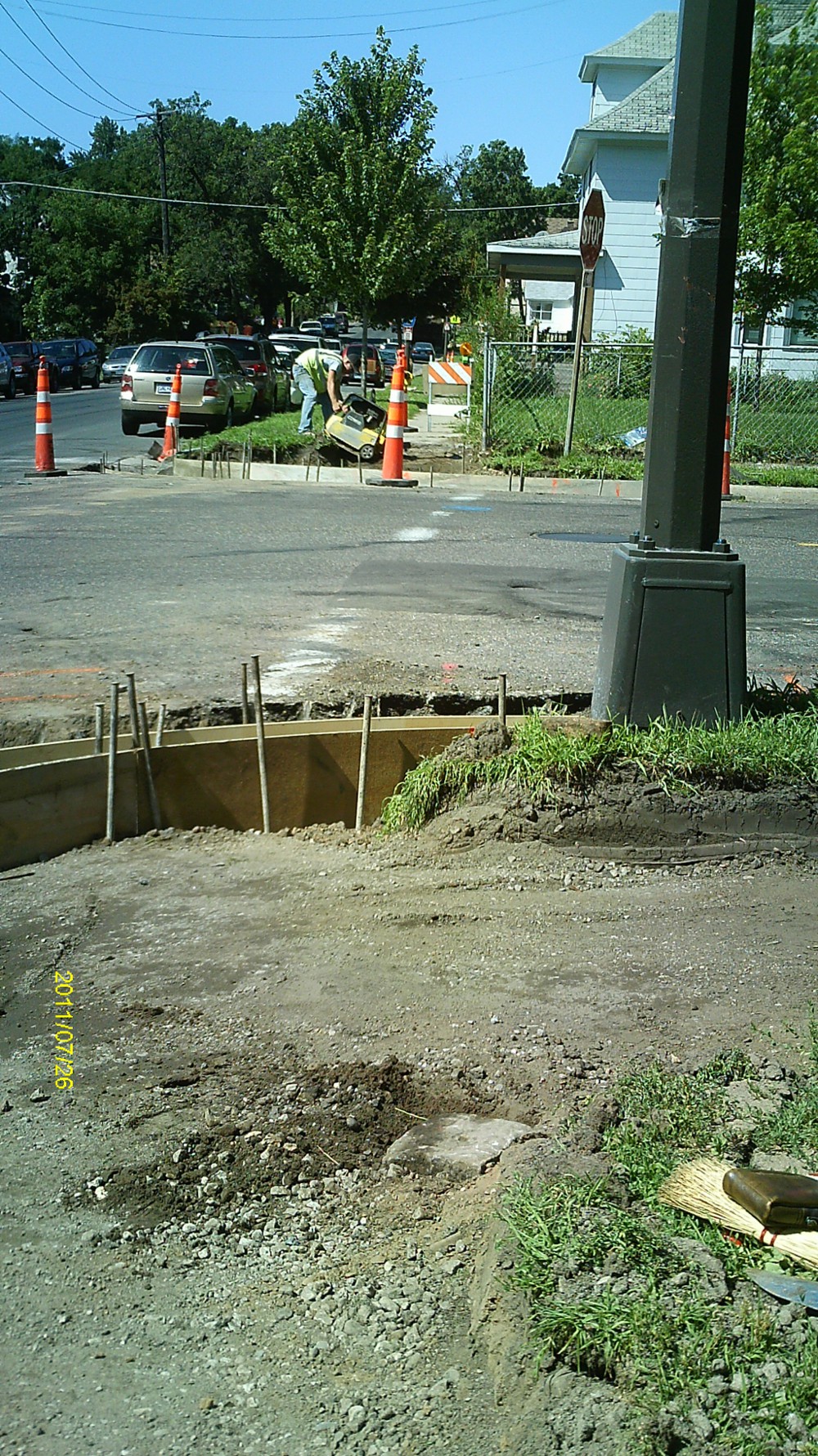
| 3185-0045B-2.jpg | July 26, 2011 | Looking north along Edgerton St. |
| 3185-0045B-1.jpg | July 26, 2011 | Close up of monument. |