| NAD83 COORDINATES (1986 adj.): |
|---|
| X= 580866.076 Y= 165511.972 Z= 000.00 LSQ 06/21/1999 FLT |
| 4/14/2003 | Fd GM at sidewalk grade. |
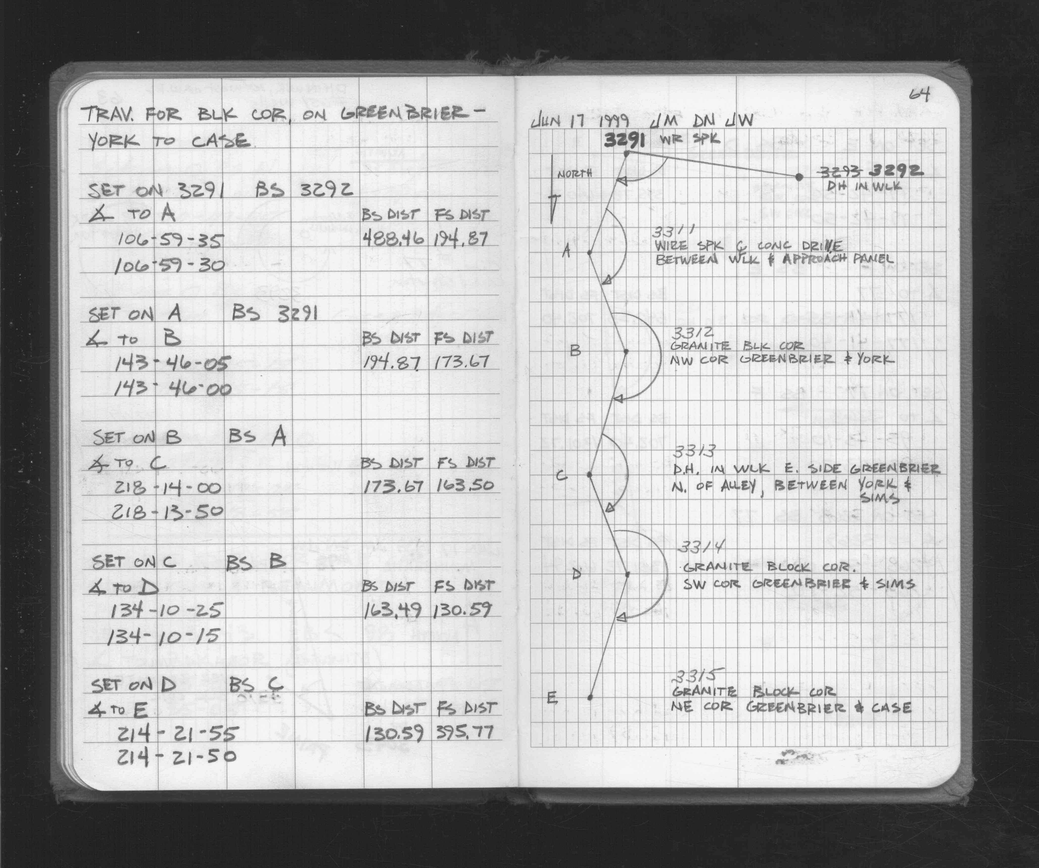
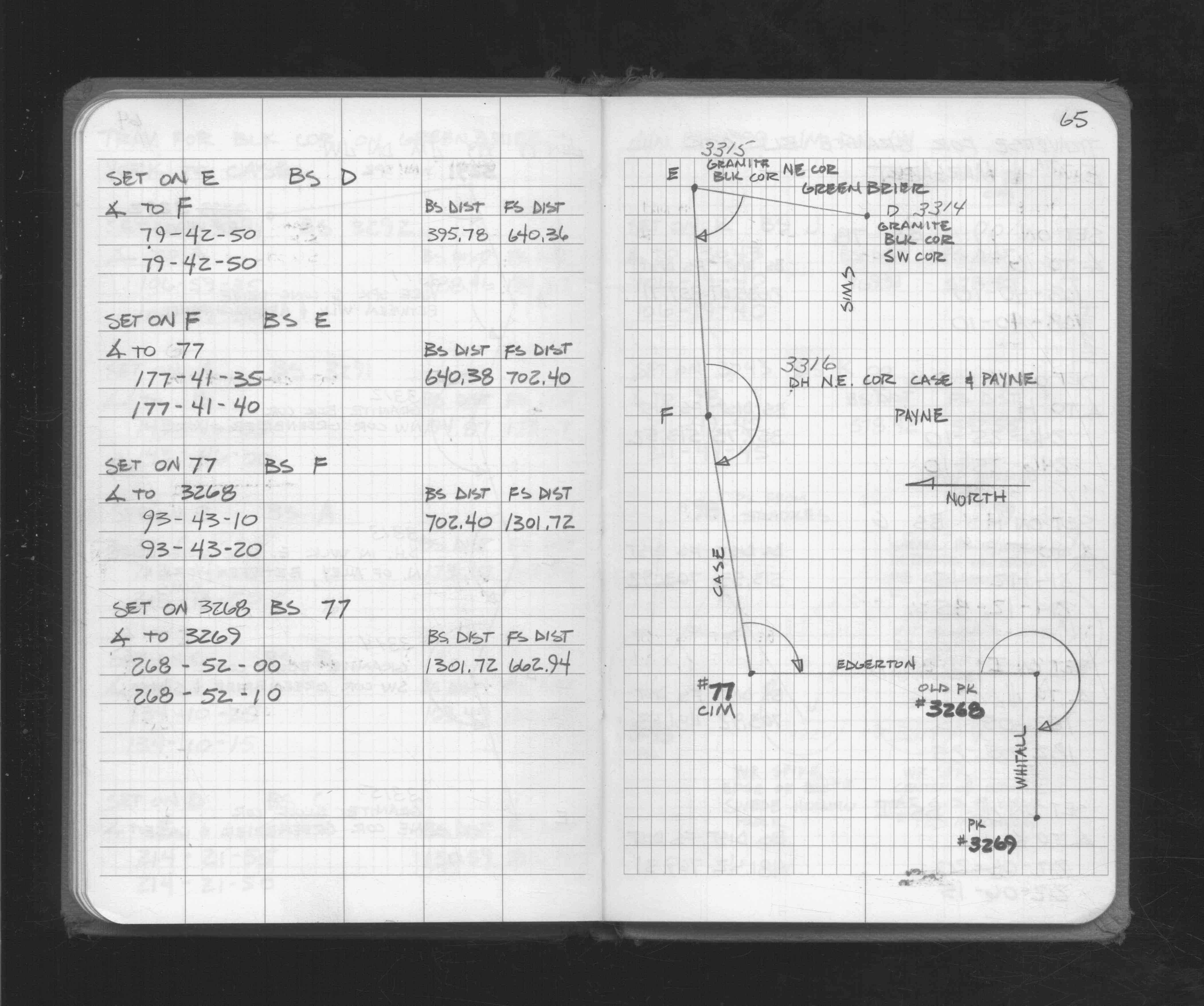
| 6/17/1999 | Located GM by traverse. See FB 1716 p.64,65 |
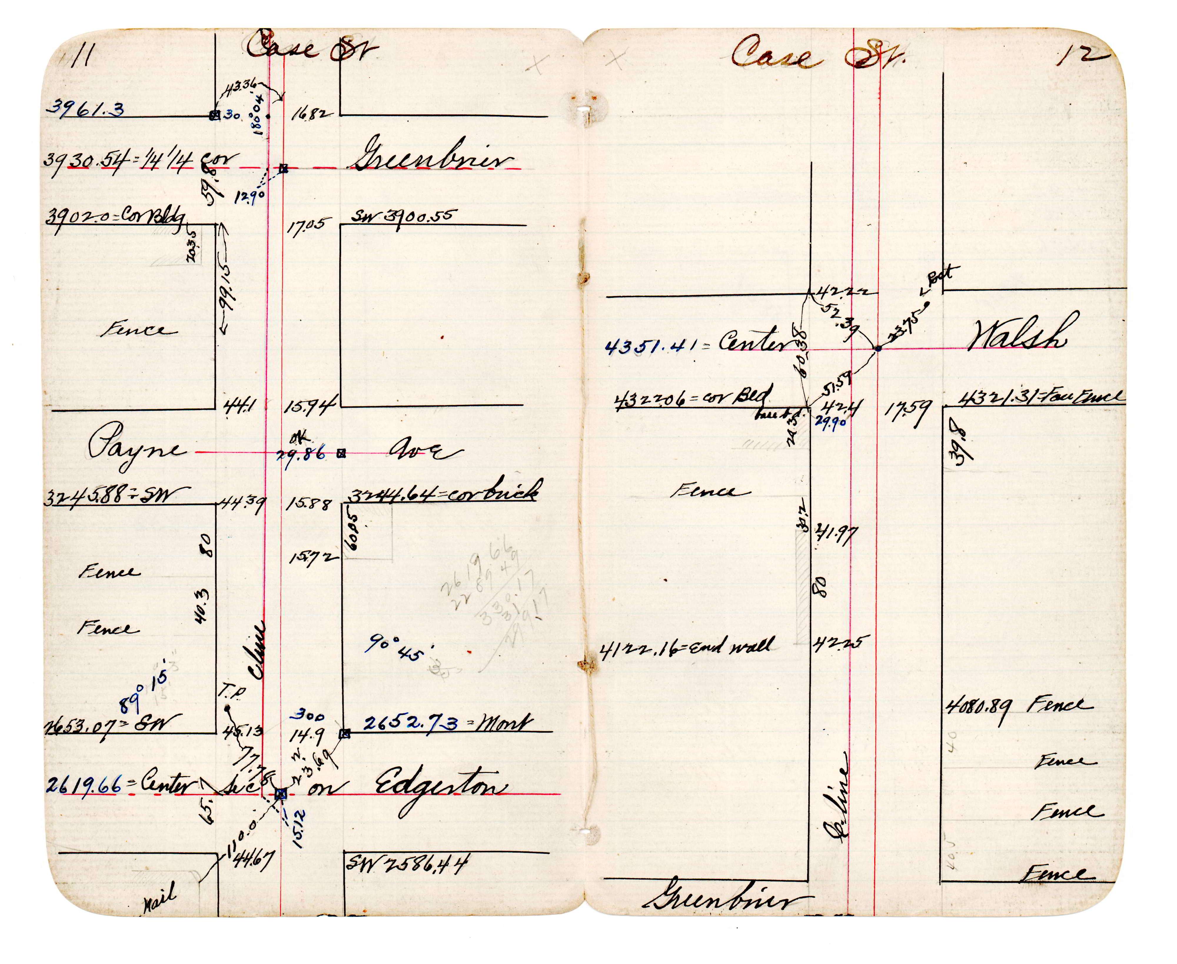
| 1/1/1890 | (Unknown date abt __, 189? ) J B Irvines survey on the 1/4 line on Case. See JBI 23 p.11-12 |
Above is NOT an all inclusive history of this point. Please review all the links below.
| PLS NOTES | Field | Cross Section | Sewer | J.B. Irvine | Monument | River Survey |
|---|---|---|---|---|---|---|
| FB 1716p. 64 ,65 | JBI 23 p.11-12 |
| FILE | PHOTO DATE | COMMENTS |
|---|---|---|
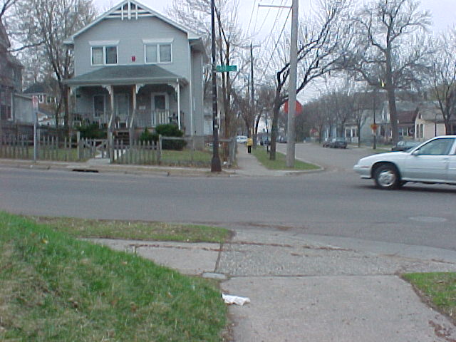
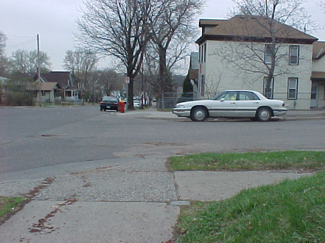
| 3315-0248C-6.jpg | April 18, 2003 | Looking south. |
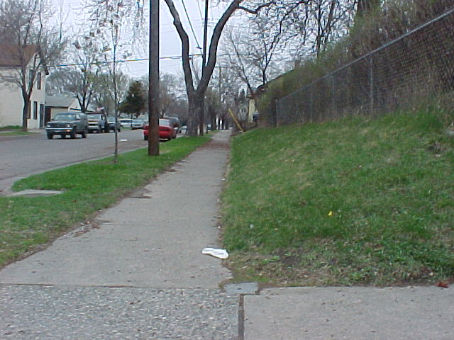
| 3315-0248C-5.jpg | April 18, 2003 | Looking west. |
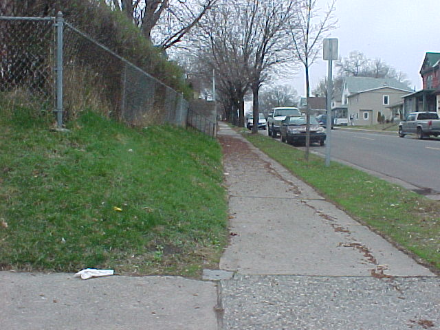
| 3315-0248C-4.jpg | April 18, 2003 | Looking north. |
| 3315-0248C-3.jpg | April 18, 2003 | Looking east. |
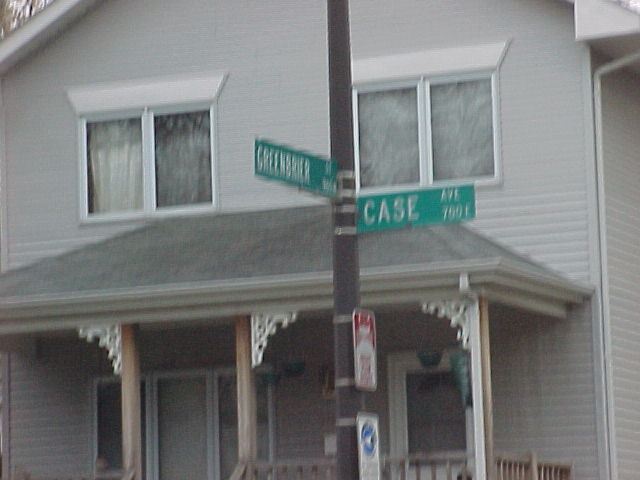
| 3315-0248C-2.jpg | April 18, 2003 | Street sign at Case & Greenbrier. |
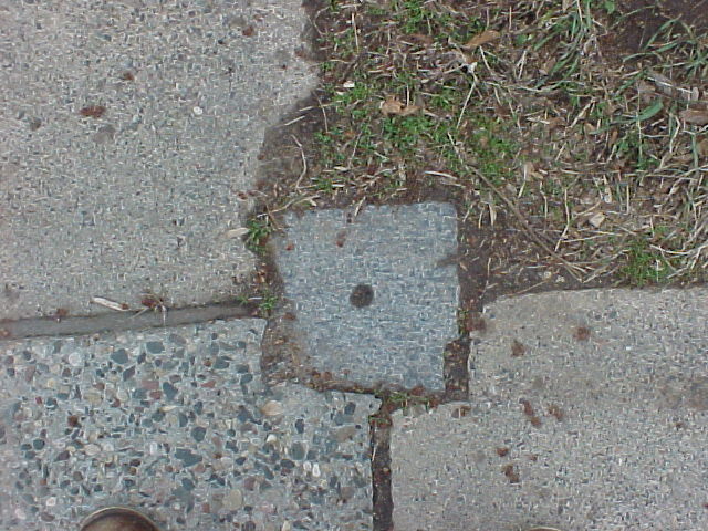
| 3315-0248C-1.jpg | April 18, 2003 | Close up of GM at sidewalk grade. |