| NAD83 COORDINATES (1986 adj.): |
|---|
| X= 565415.008 Y= 148575.421 Z= 000.00 CMP 06/20/2000 STB |
| X= 565414.954 Y= 148575.493 Z= 784.6 03/08/2006 RTK-VRS |
| 12/27/2006 | Fd GM 0.50 ft above grade and tied. See CofL 3479-0563-A |
| 3/8/2006 | Position on GM established by RTK-VRS GPS. Elev 784.6 ft Placed magnet in the hole. |
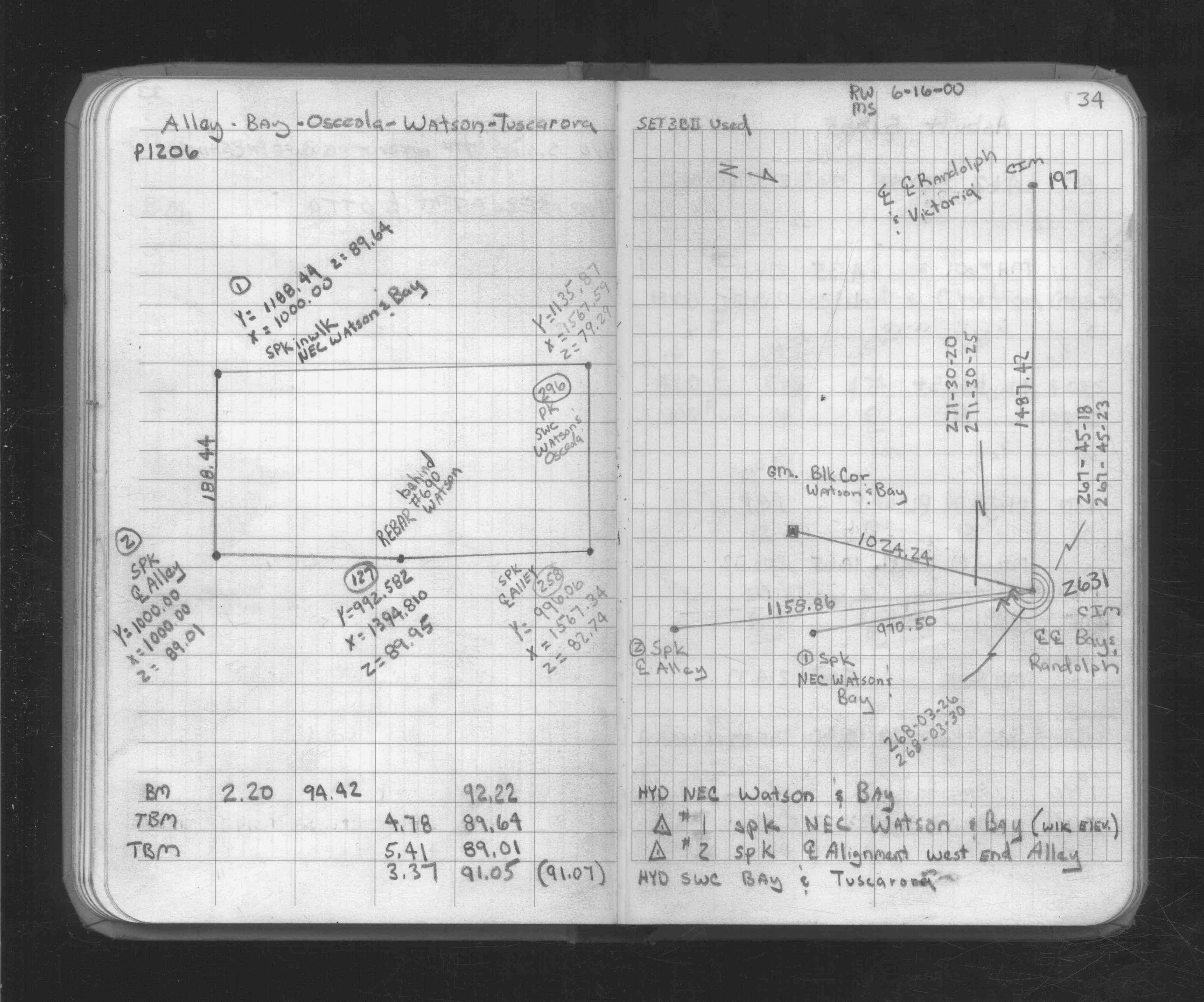
| 6/16/2000 | Fd GM. See FB 1734A p.34 |
| 6/1/1886 | (Unknown date Jun __, 1886 ) Monument set by R J Johnson |
Above is NOT an all inclusive history of this point. Please review all the links below.
| PLS NOTES | Field | Cross Section | Sewer | J.B. Irvine | Monument | River Survey |
|---|---|---|---|---|---|---|
| FB 1734Ap.34 | ||||||
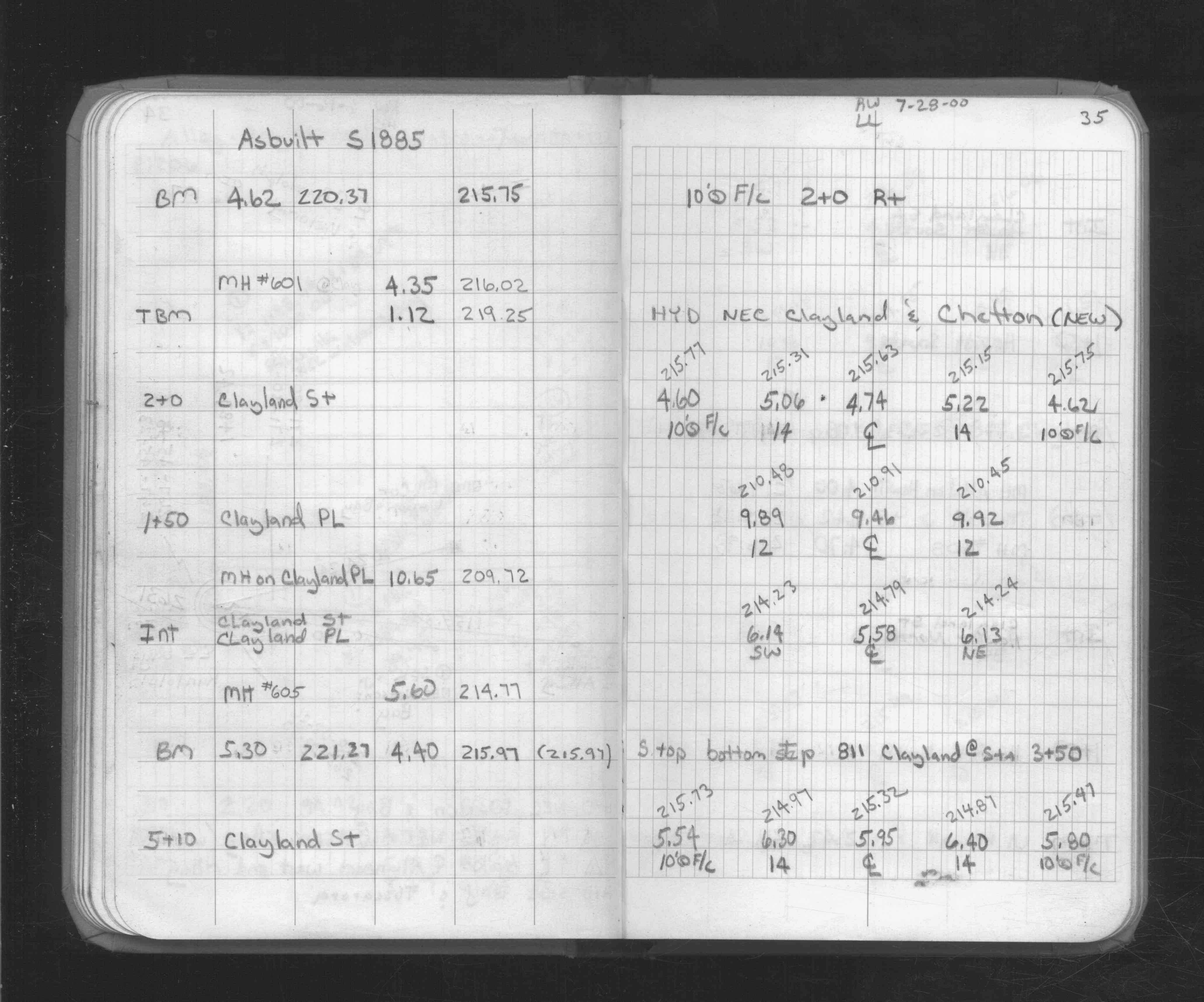
| FB 1734Ap.35 |
| FILE | SURVEYOR | LIC. NO. | DATE SIGNED | DATE TIED |
|---|---|---|---|---|
| 3479-0563-A.tif | none | none | none | December 27, 2006 |