| NAD83 COORDINATES (1986 adj.): |
|---|
| X= 576142.399 Y= 149082.076 Z= 874.2 07/01/2005 RTK-VRS |
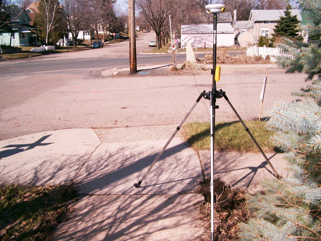
| 4/3/2006 | Fd GM. Photos taken. |
| 7/1/2005 | Position on GM established by GPS RTK-VRS. Elevation 874.2 feet |
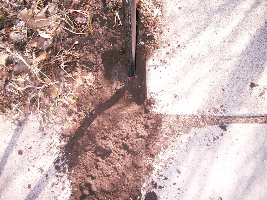
| 6/29/2005 | Placed magnet in hole of GM. |
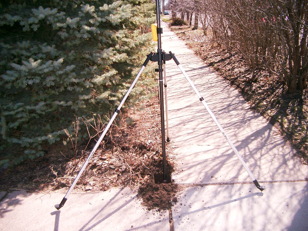
| 6/6/2005 | Fd GM 0.4 feet below sidewalk. See CofL 3788-2535-A |
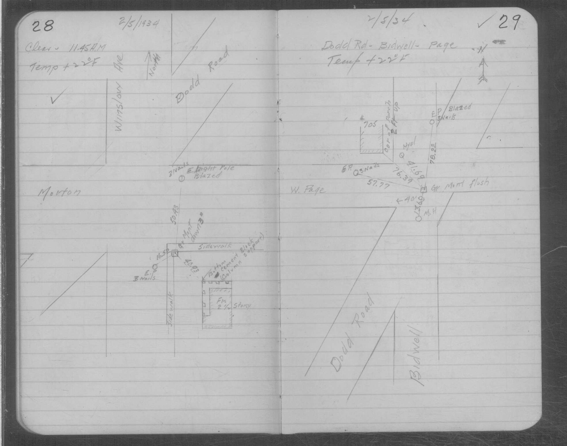
| 2/5/1934 | Placed ties on GM three inches below sidewalk. See MSX 1 p.28-29 |
| 2/20/1892 | Monument set by J B Irvine |
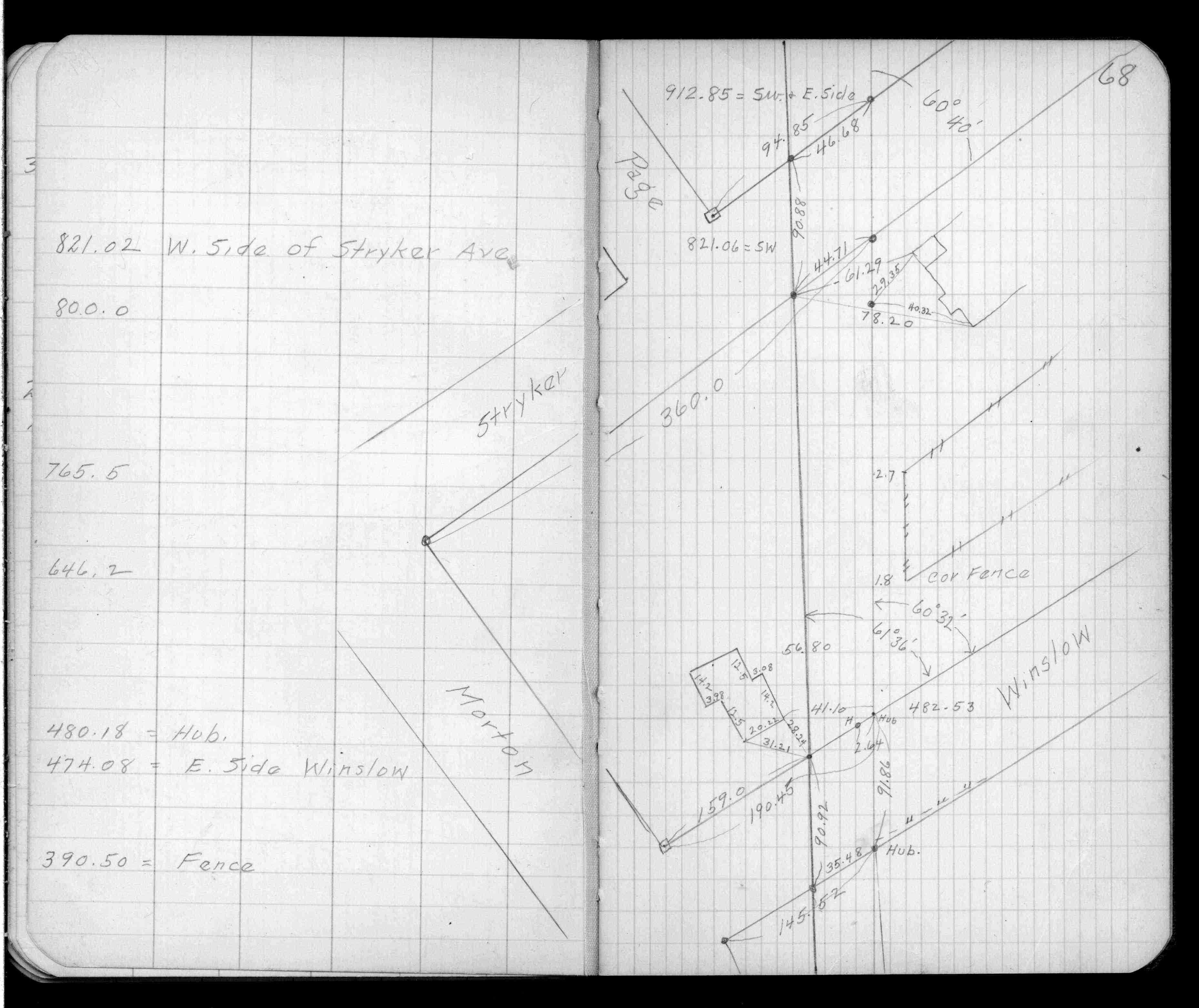
| 5/1/1890 | (Unknown date May __, 1890 ) Placed ties. See FB 320 p.68 |
Above is NOT an all inclusive history of this point. Please review all the links below.
| PLS NOTES | Field | Cross Section | Sewer | J.B. Irvine | Monument | River Survey |
|---|---|---|---|---|---|---|
| FB 0320p.68 | MSX 0001 p.028-029 |
| FILE | SURVEYOR | LIC. NO. | DATE SIGNED | DATE TIED |
|---|---|---|---|---|
| 3788-2535-A.tif | Michael P. Murphy | 41001 | July 6, 2005 | June 21, 2005 |
| FILE | PHOTO DATE | COMMENTS |
|---|---|---|
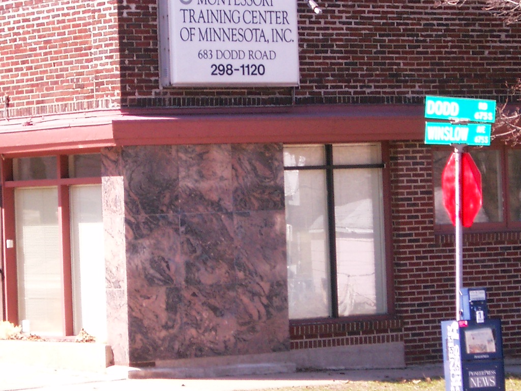
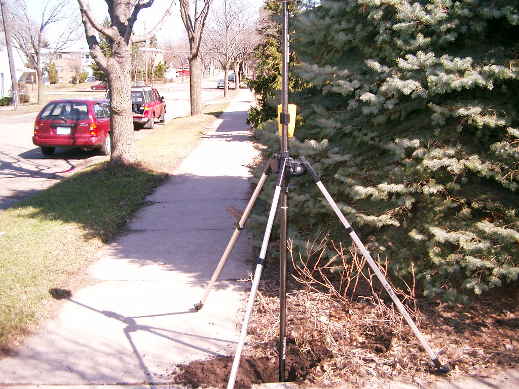
| 3788-2535-7.jpg | April 3, 2006 | Northwest tie to the building marble corner of 100.06 ft. |
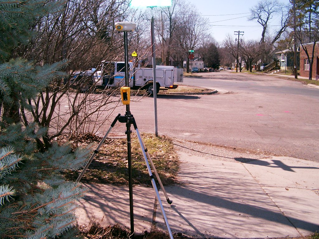
| 3788-2535-6.jpg | April 3, 2006 | Looking West along the South side of Morton St. |
| 3788-2535-5.jpg | April 3, 2006 | Looking South along the East side of Winslow Ave. |
| 3788-2535-4.jpg | April 3, 2006 | Looking East along the South side of Morton St. |
| 3788-2535-3.jpg | April 3, 2006 | Looking North along the East side of Winslow Ave. |
| 3788-2535-2.jpg | April 3, 2006 | Close-up of granite monument. |