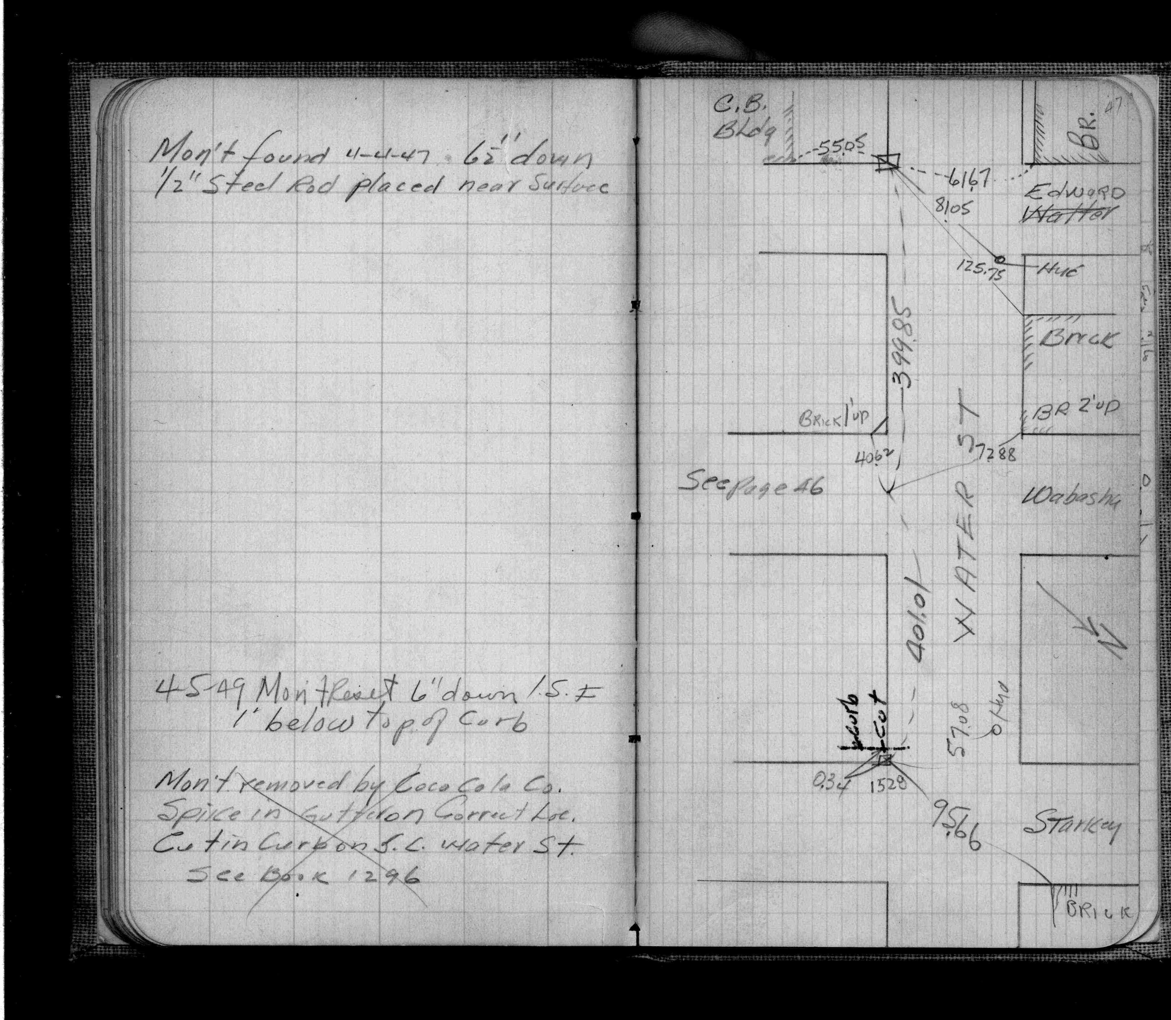
| 4/4/1947 | Placed ties on monument down 6.5 ft. 1/2" steel rod placed near surface. See FB 777 p.47 |
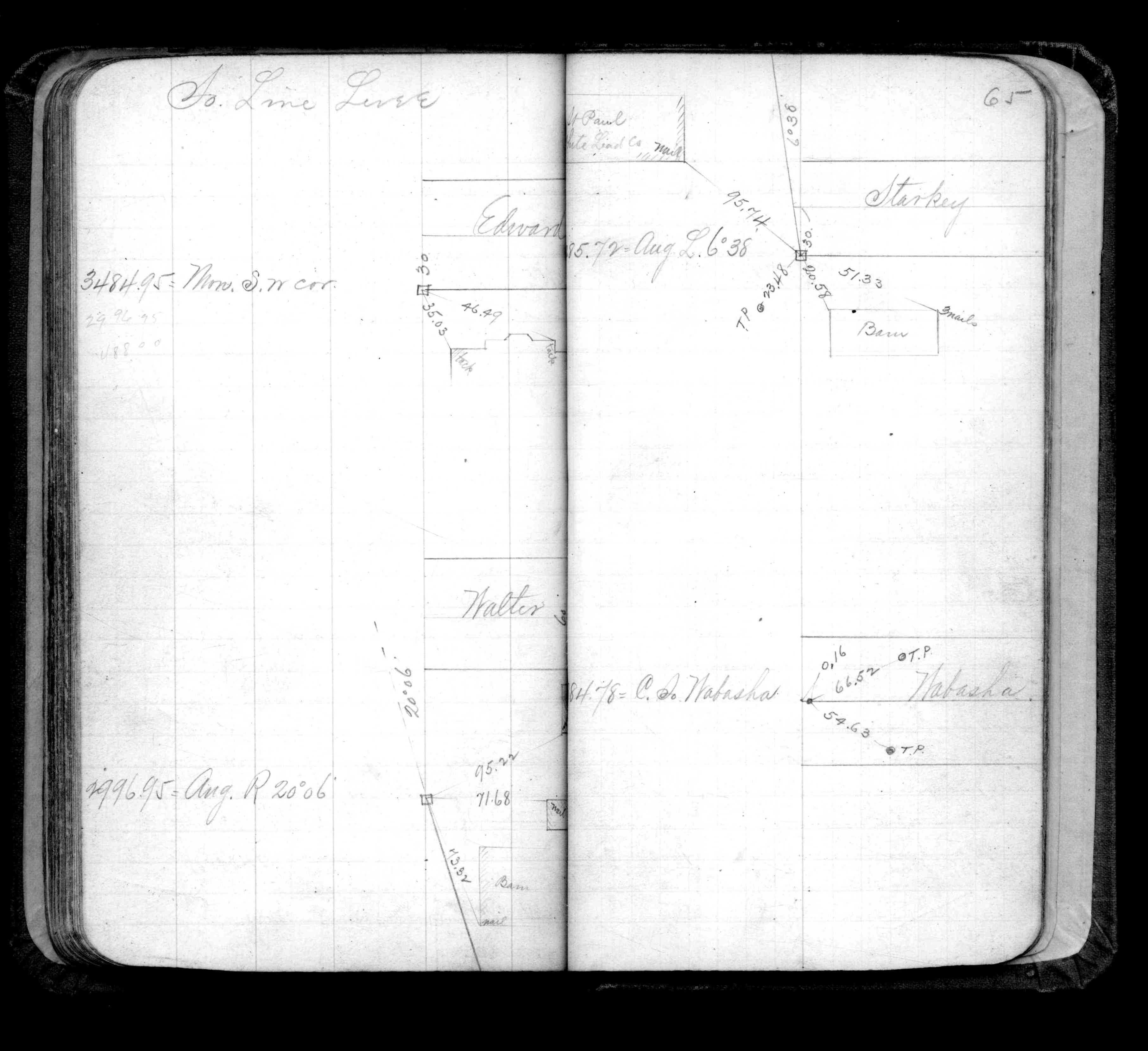
| 12/1/1899 | (Unknown date Dec __, 1899 ) Placed ties. See FB 325 p.65 Monument On Levee Line at Edward (Vac) |
Above is NOT an all inclusive history of this point. Please review all the links below.
| PLS NOTES | Field | Cross Section | Sewer | J.B. Irvine | Monument | River Survey |
|---|---|---|---|---|---|---|
| FB 0325p.65 | ||||||
| FB 0777p.47 |