STATION: 5263 Blk Cor NW Territorial Rd & Cromwell Ave (66' ROW)
OLD INDEX NUMBER(s): 1534
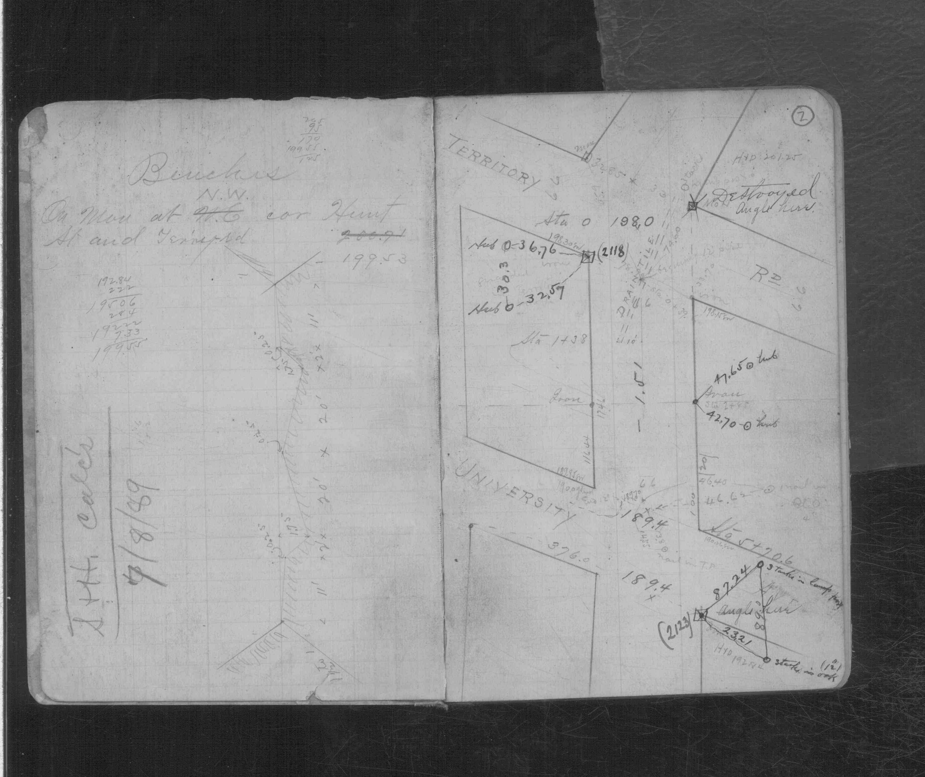
MAP: A04 SW 1/4 Sec 29 T29N R23W
GPS STATION:
DATE COMMENTS:
3/5/1889
Monument set by Chas A Hunt See CS 698 p.2
Above is NOT an all inclusive history of this point. Please review all the links below.
BOOKS
PLS NOTES
Field
Cross Section
Sewer
J.B. Irvine
Monument
River Survey
CS 0698p.02
Revised: March 05, 1889 Updated HTML File: March 02, 2015