STATION: 6510 WP on Sec Line W5/E6-28-22 (Hall Ln) at W Levee Line
OLD INDEX NUMBER(s): __ah
MAP: N07 NW 1/4 Sec 05 T28N R22W
GPS STATION:
DATE COMMENTS:
1/1/1890
(Unknown date ___ __, 1890 ) Monument. See FB 325 p.24
Above is NOT an all inclusive history of this point. Please review all the links below.
BOOKS
PLS NOTES
Field
Cross Section
Sewer
J.B. Irvine
Monument
River Survey
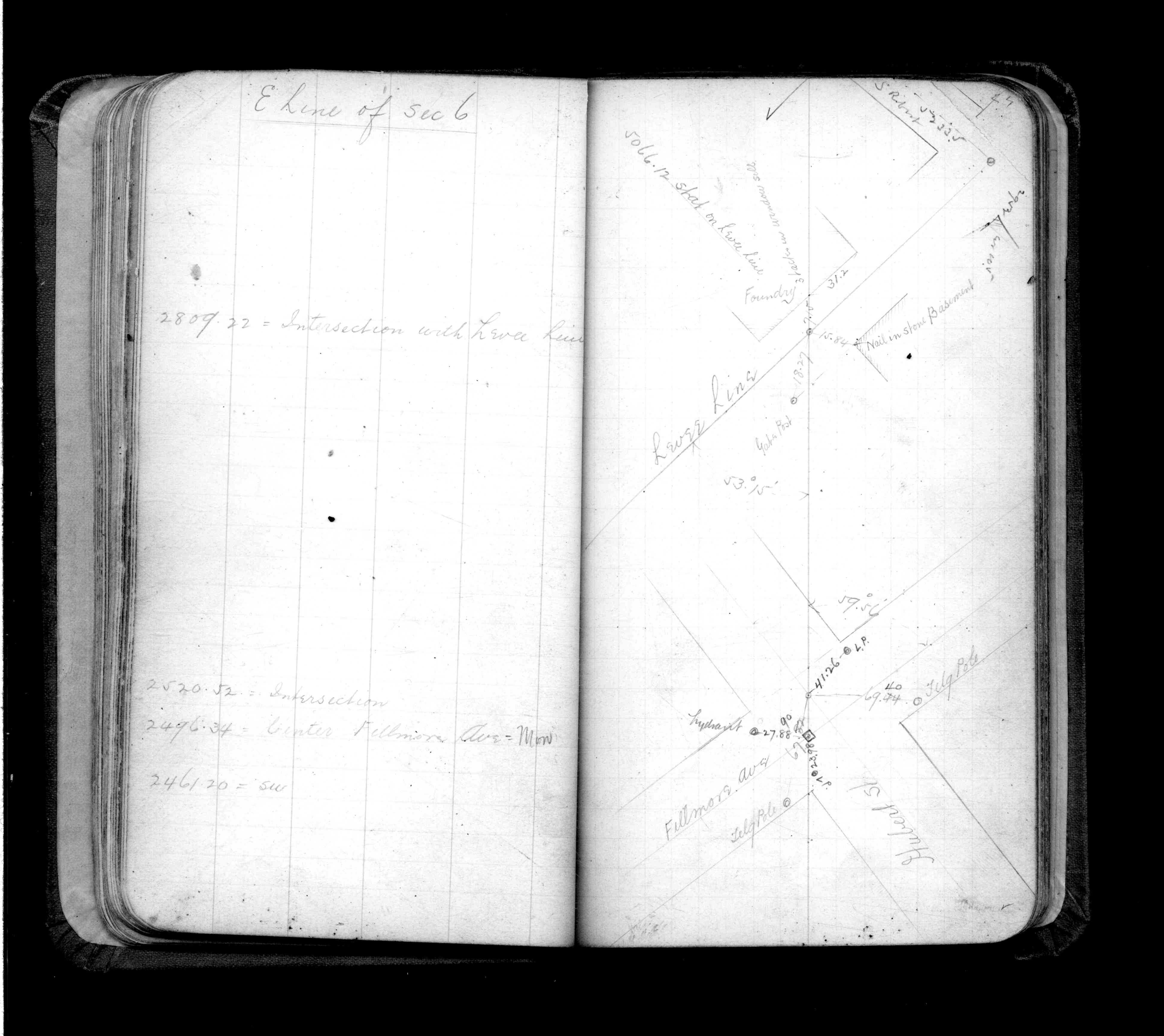
FB 0325p.24
Revised: January 01, 1890 Updated HTML File: March 02, 2015