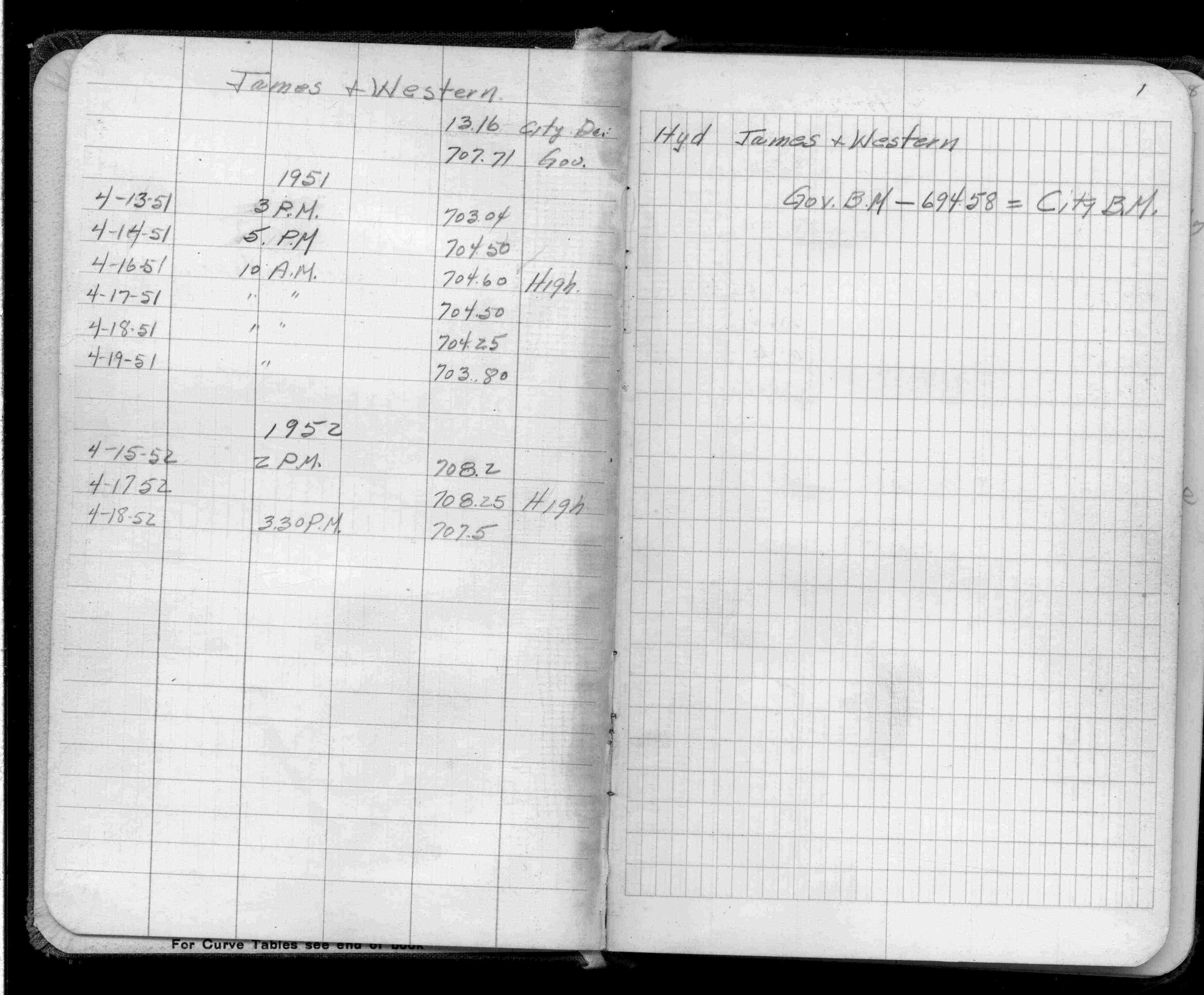
Page(s) 1
James & Western Aves
| Flood Levels | 0000-00-00
1
Page(s) 2
Blank Page
FROM
Blank
TO
Blank
| Blank | 0000-00-00
Page(s) 3-4
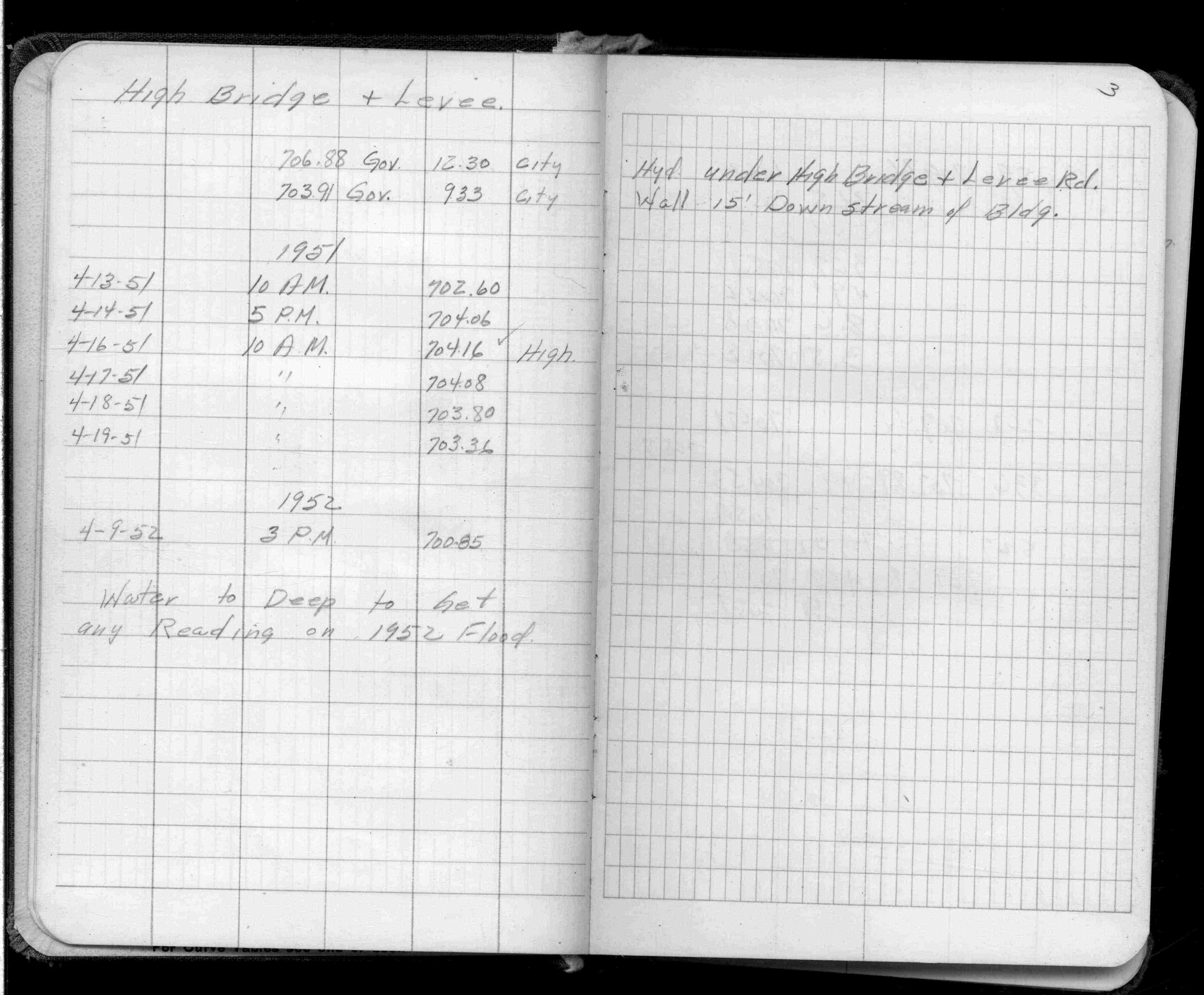
High Bridge & Levee
| Flood Levels | 1951-00-00
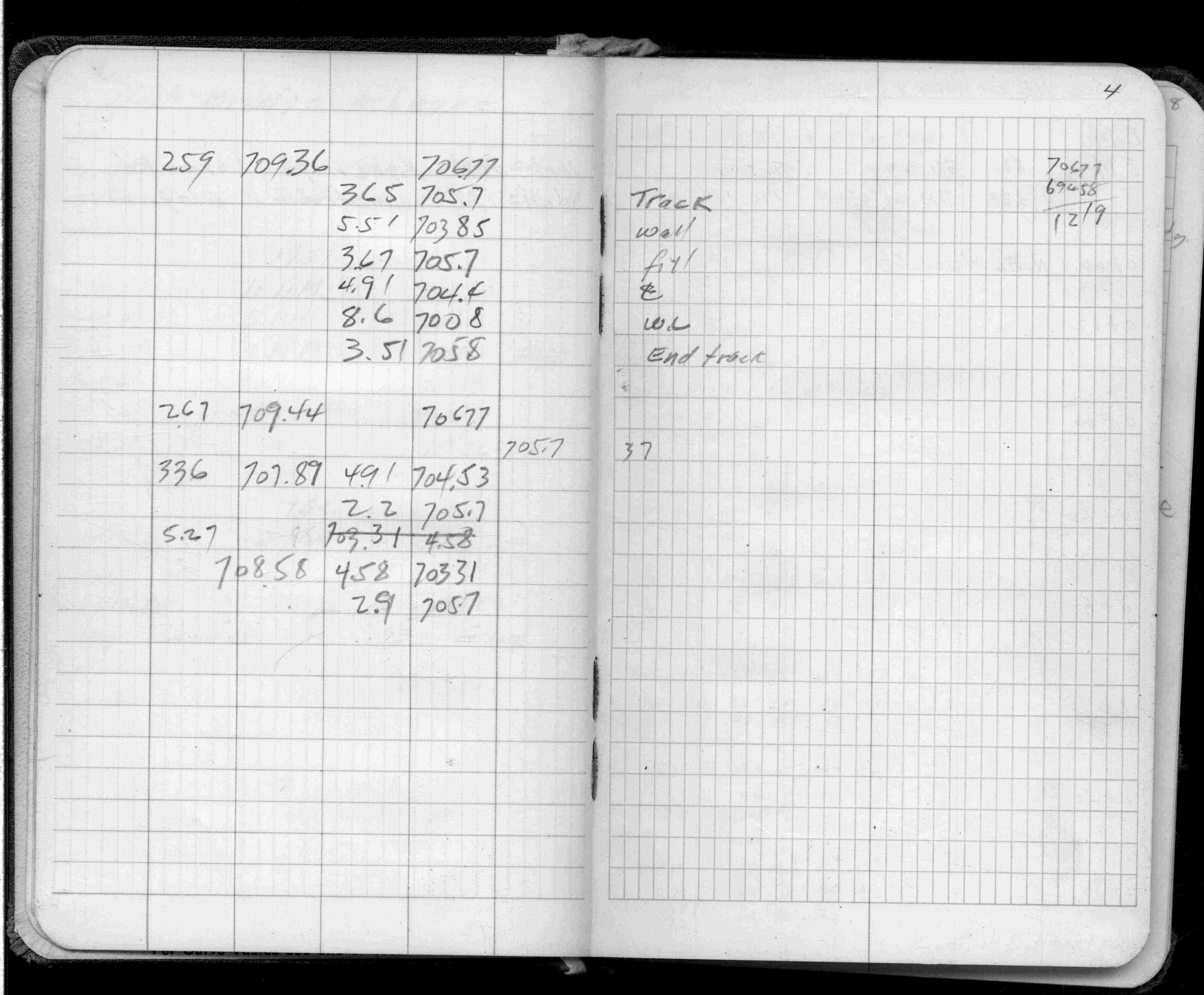
3
4
Page(s) 5
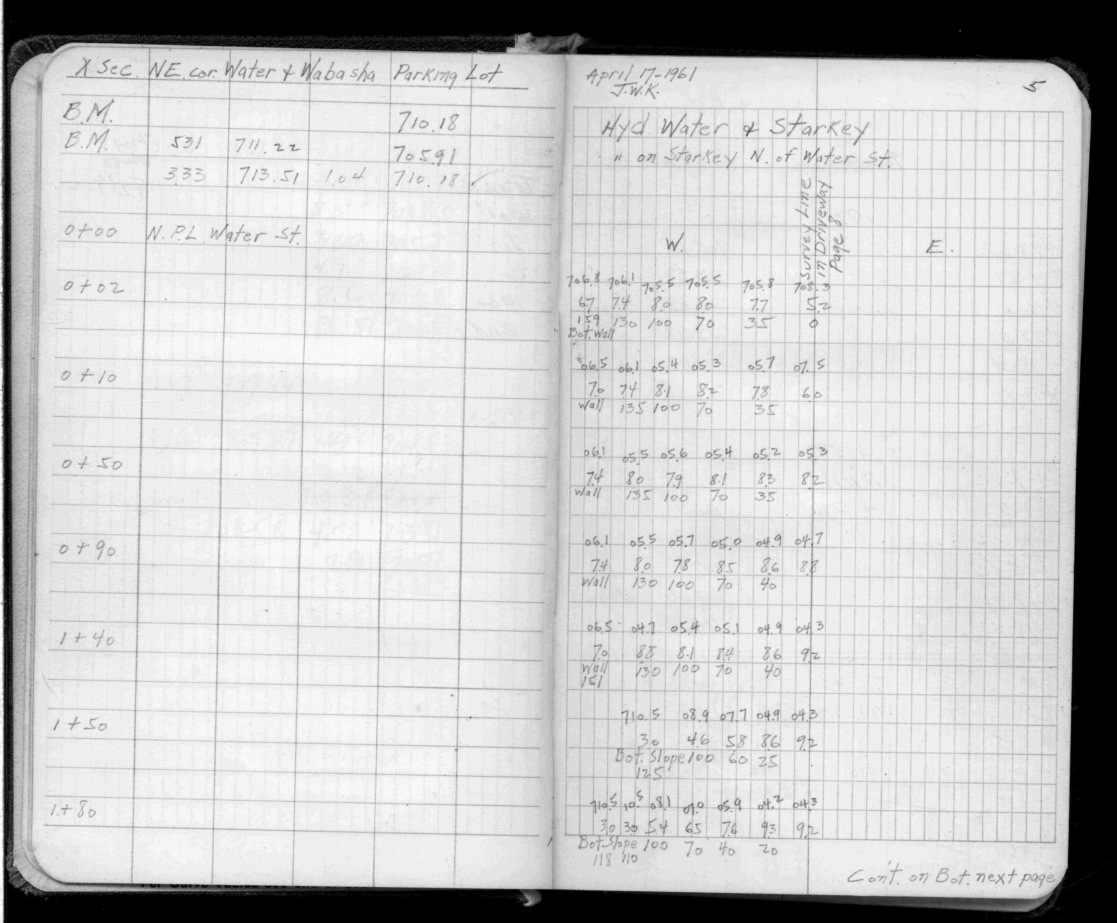
Water & Wabasha Sts
| Cross Sections | 1961-04-17
5
Page(s) 6
Eagle St & Levee Rd
| Flood Levels | 1951-00-00
6
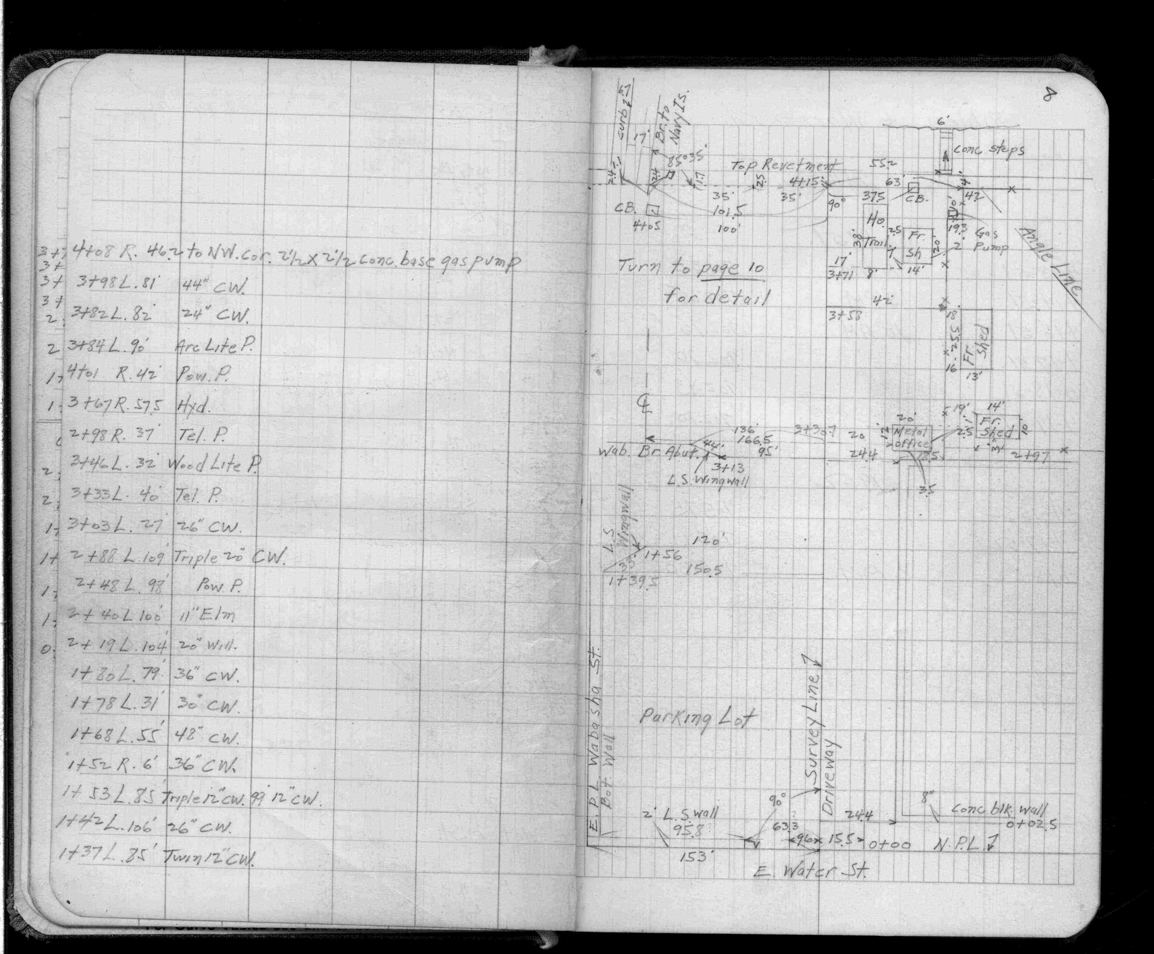
Page(s) 7-8
N Ln Water St & Starkey St
| Locations & Levels | 0000-00-00
7
8
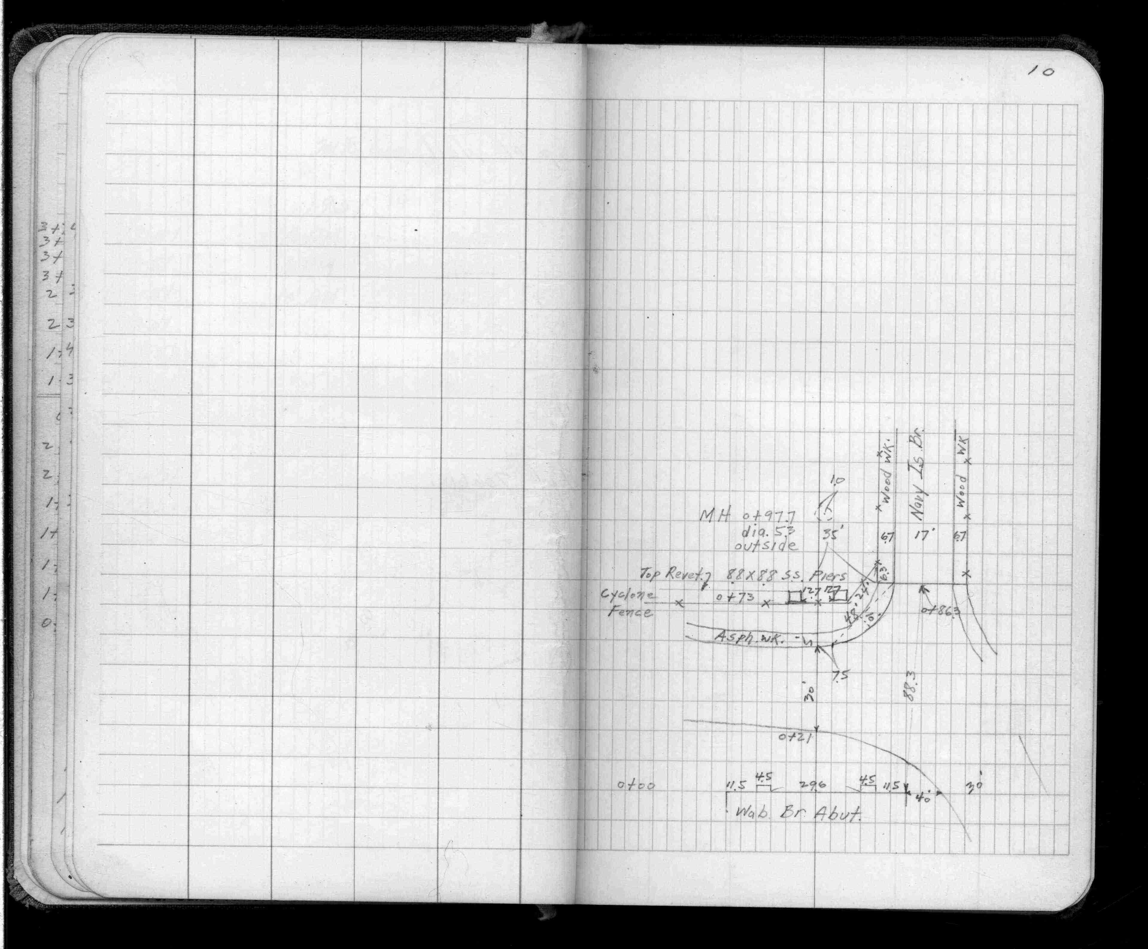
Page(s) 9-10
Sibley St & Warner Rd
| Flood Levels | 0000-00-00
9
10
Page(s) 11
Blank Page
FROM
Blank
TO
Blank
| Blank | 0000-00-00
Page(s) 12
Barge Terminal
FROM
Near Coal Yard
| Flood Levels | 0000-00-00
12
Page(s) 13-14
Blank Pages
FROM
Blank
TO
Blank
| Blank | 0000-00-00
Page(s) 15
Sewage Plant
FROM
Gauge in River
| Flood Levels | 0000-00-00
15
Page(s) 16-17
Blank Pages
FROM
Blank
TO
Blank
| Blank | 0000-00-00
Page(s) 18
High Bridge & Water St
FROM
Nly Cor Pier 70 ft N of Water St
| Flood Level | 1952-00-00
18
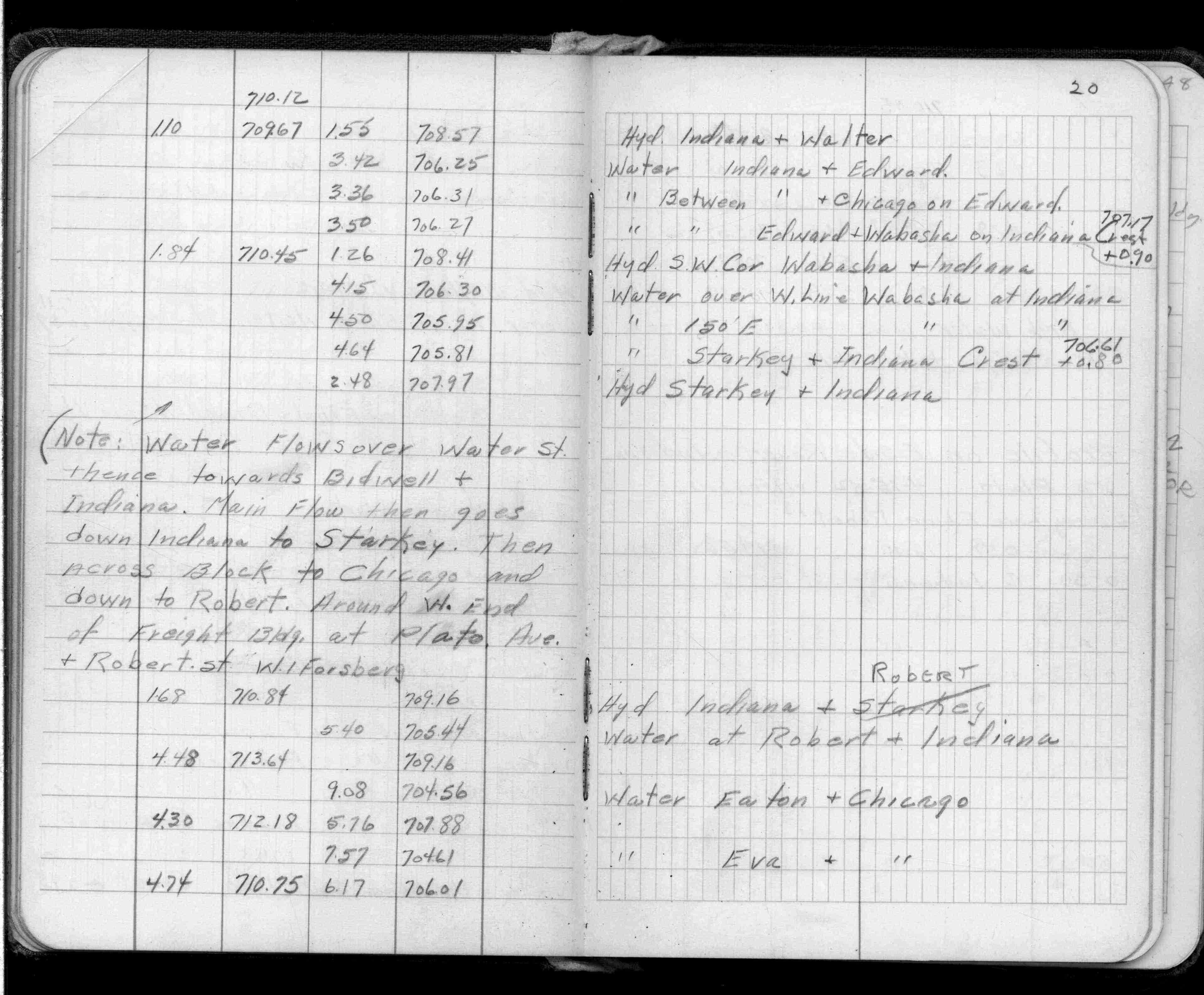
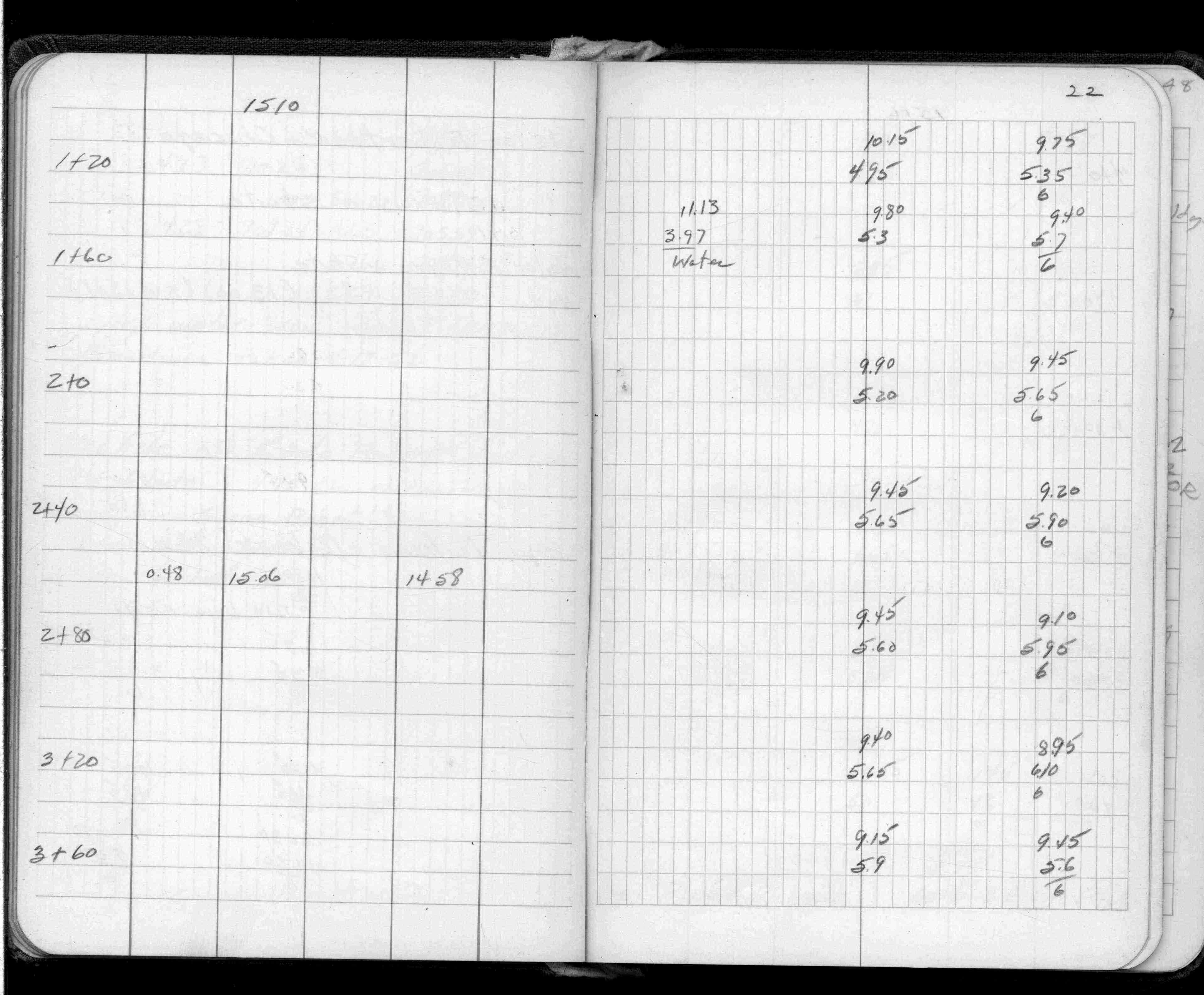
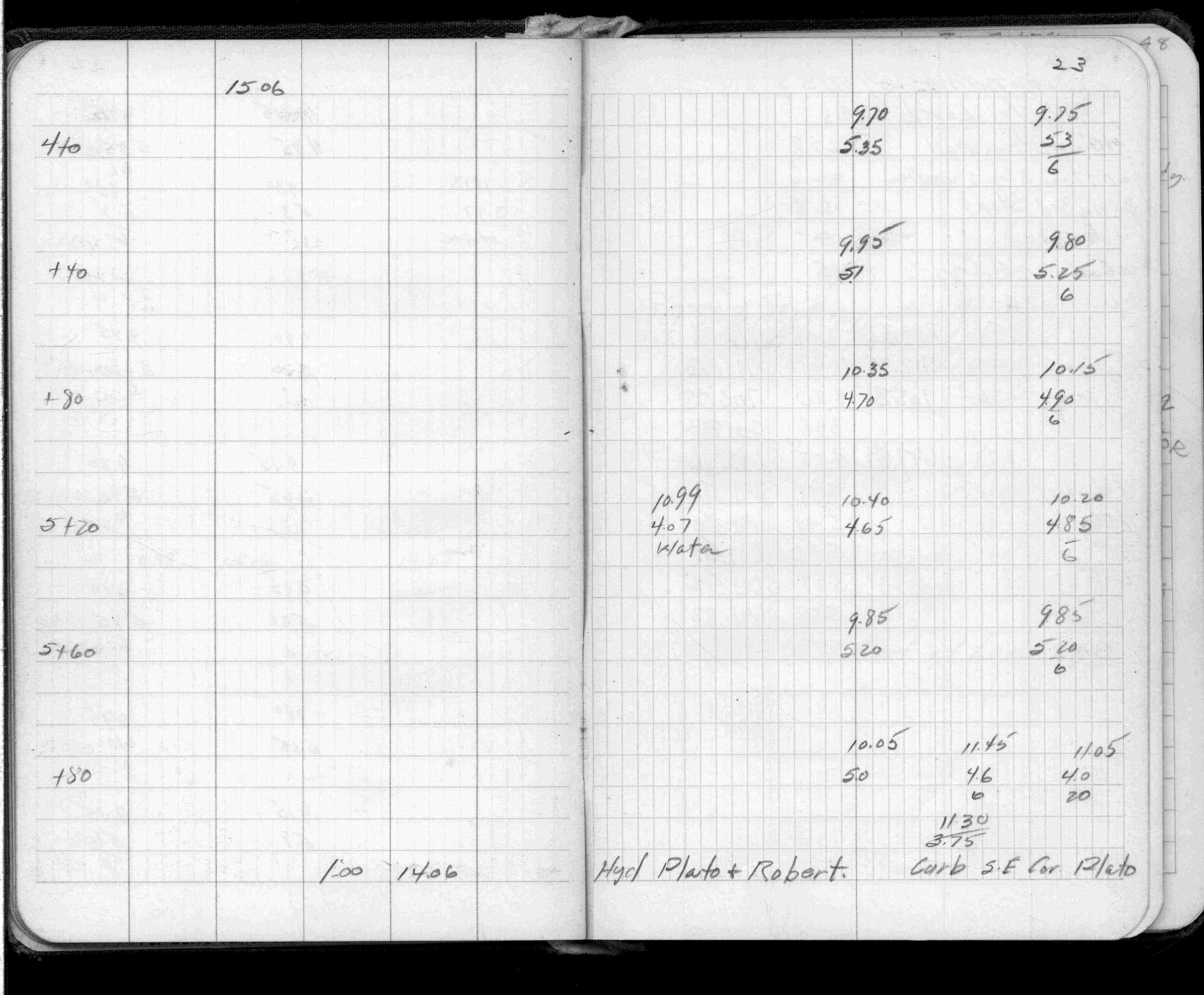
Page(s) 19-23
Mississippi River
FROM
W Water St & Belle St (Vac)
TO
Robert St
| Levels & Flow | 1952-04-18
19
20
21
22
23
Page(s) 24
Mississippi River
FROM
US BM PO Steps Adj to 1912 Adj
TO
US BM West end of Landing
| Soundings | 1952-05-22
24
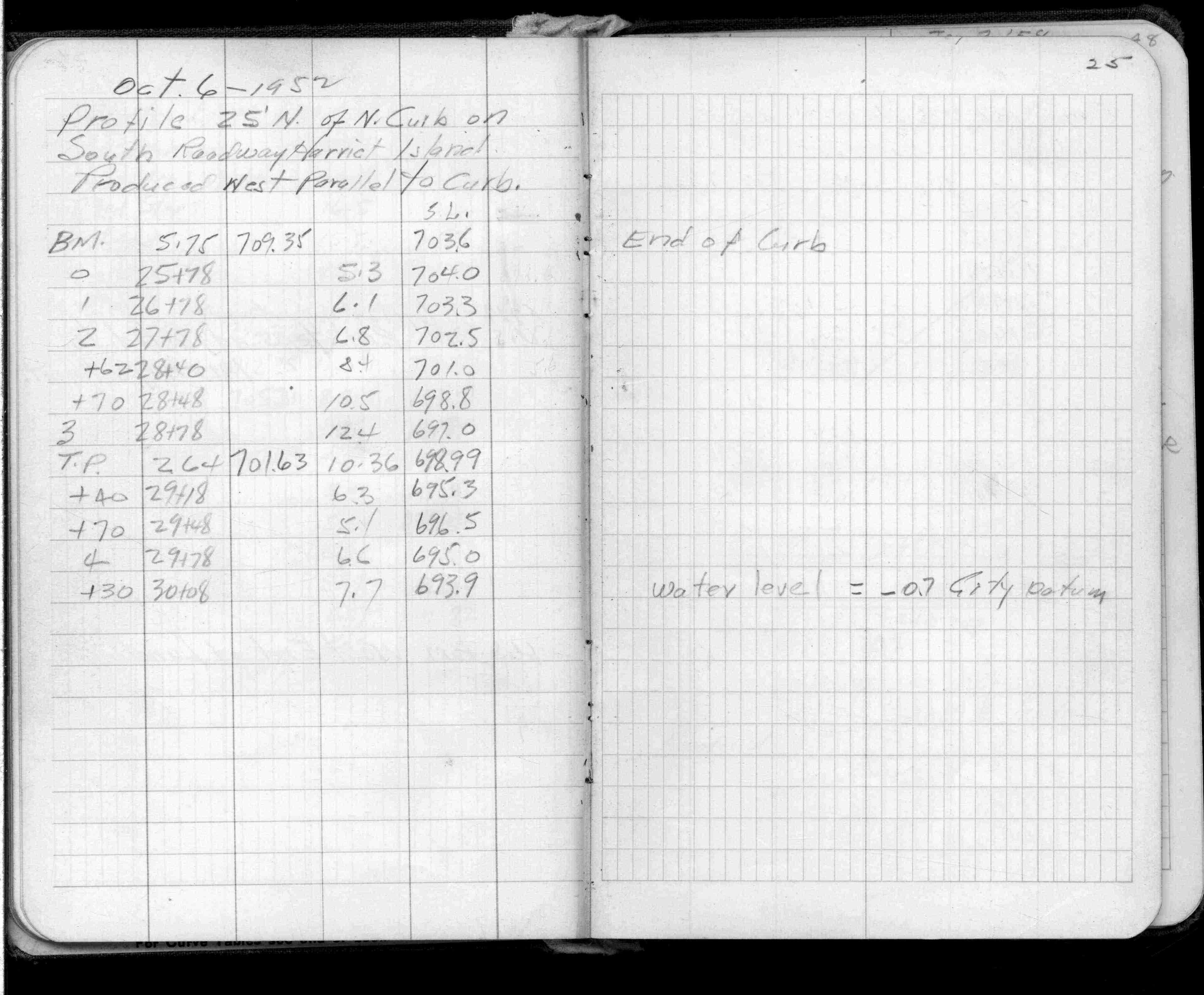
Page(s) 25-28
S Roadway Harriet Island Produced
FROM
N Curb
TO
25 ft North of North Curb
| Profile | 0000-00-00
25
26
27
28
Page(s) 29
Rock Island RR Tracks
FROM
Wyandotte St (Vacated)
TO
Bayfield St (Private)
| Rail Top Profile | 0000-00-00
29
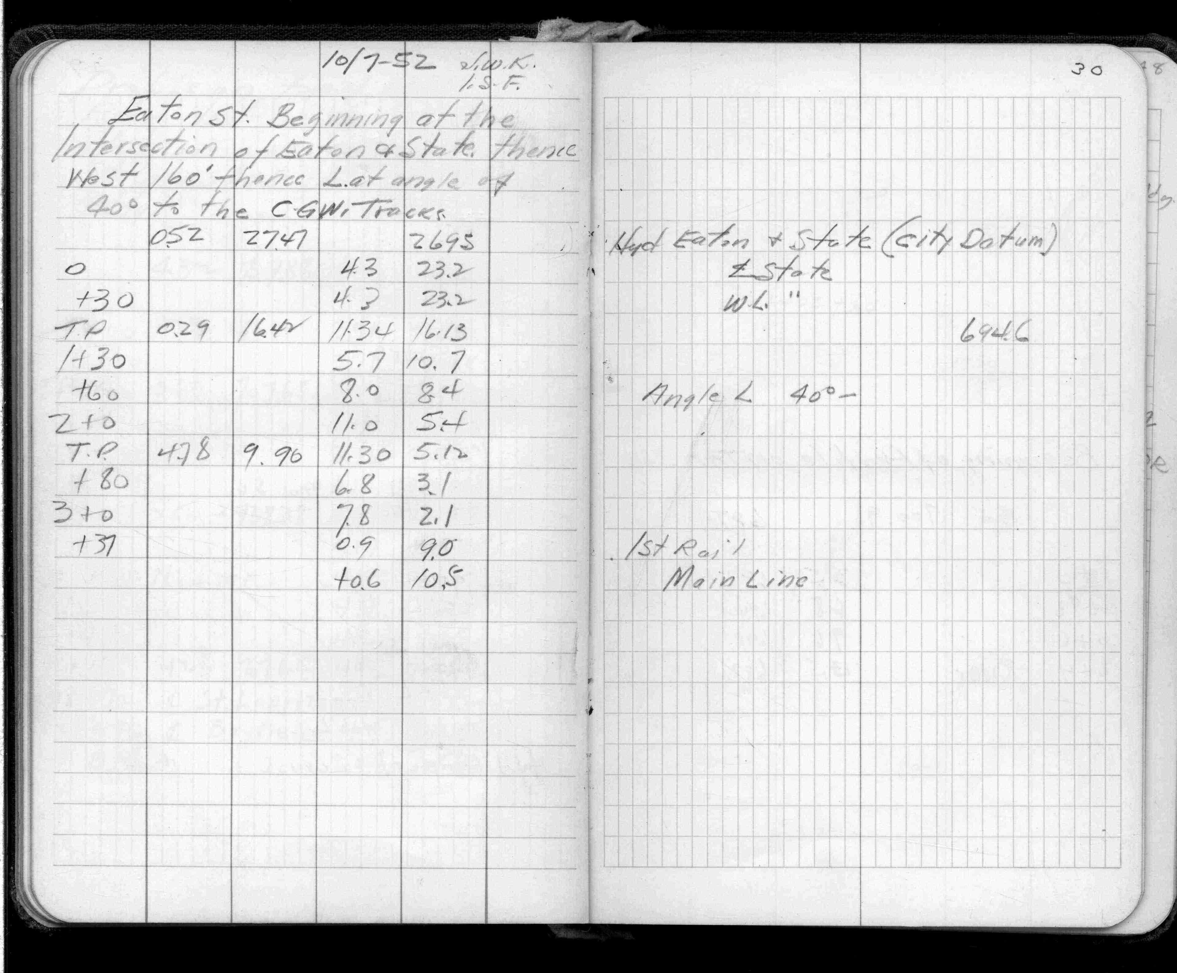
Page(s) 30
Eaton St
FROM
State St
TO
West 160 ft
| Levels | 1952-10-07
30
Page(s) 31
Taft St (Vacated)
FROM
Station 1+0
TO
Station 0+41
| Begining of Profile | 0000-00-00
31
Page(s) 32-35
Blank Pages
FROM
Blank
TO
Blank
| Blank | 0000-00-00
Page(s) 36-42
Survey Line
FROM
James & Western Aves
TO
Elm St & Levee
| X-Secs & Locations | 0000-00-00
36
37
38
39
40
41
42
Page(s) 43
Levee
FROM
Section @ gate 400 ft Up fr NSP
TO
Section 300 ft E Western Ave
| Cross Sections | 1955-02-03
43
Page(s) 44-45
Spring St Sewer
FROM
MH & Elm St
TO
Pipe below diversion @ Sherman St
| Profile | 0000-00-00
44
45
Page(s) 46
Blank Page
FROM
Blank
TO
Blank
| Blank | 0000-00-00
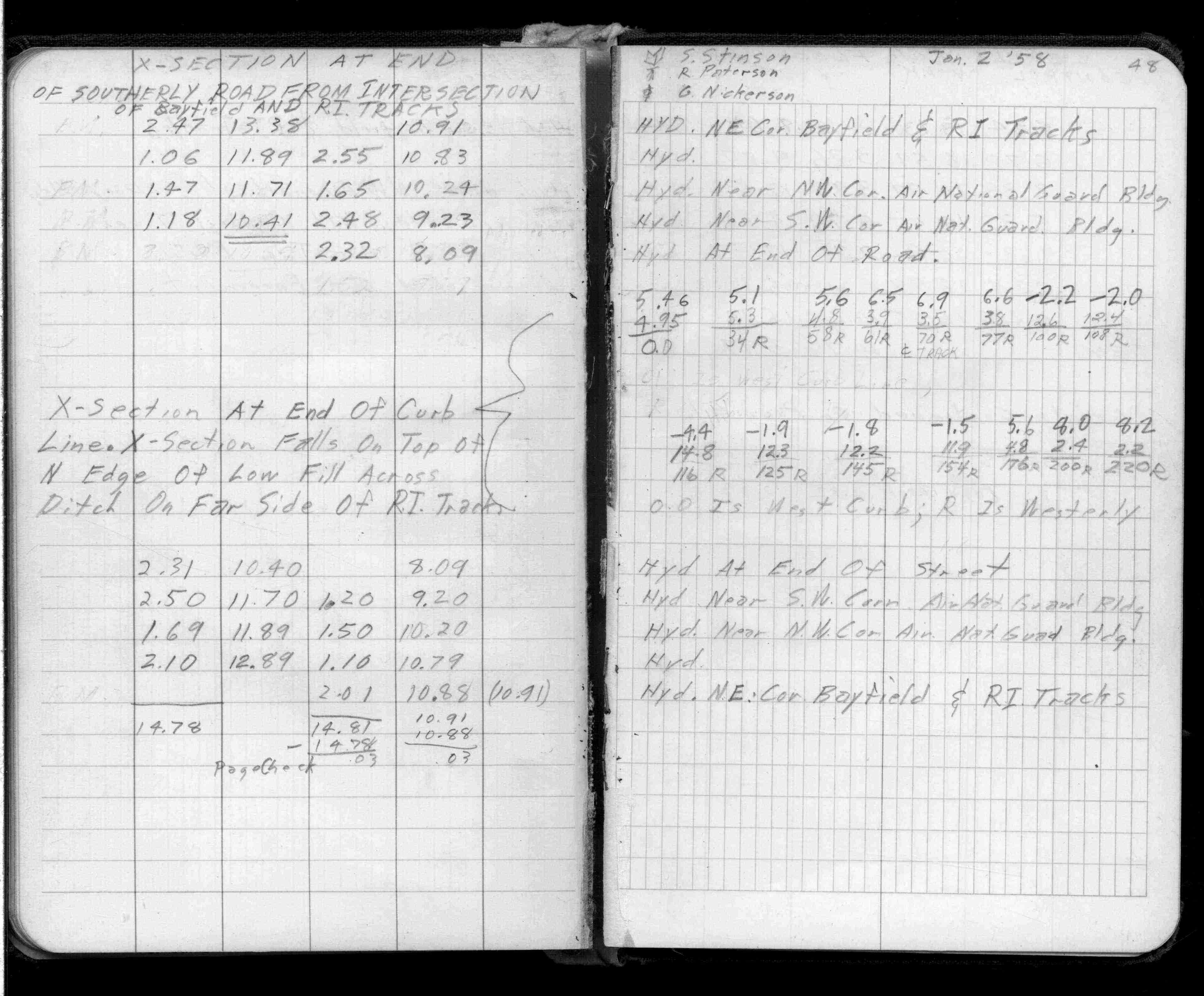
Page(s) 47
Bayfield St (Prv)&RI Tracks
| Hydrant Elevation | 1958-01-02
47
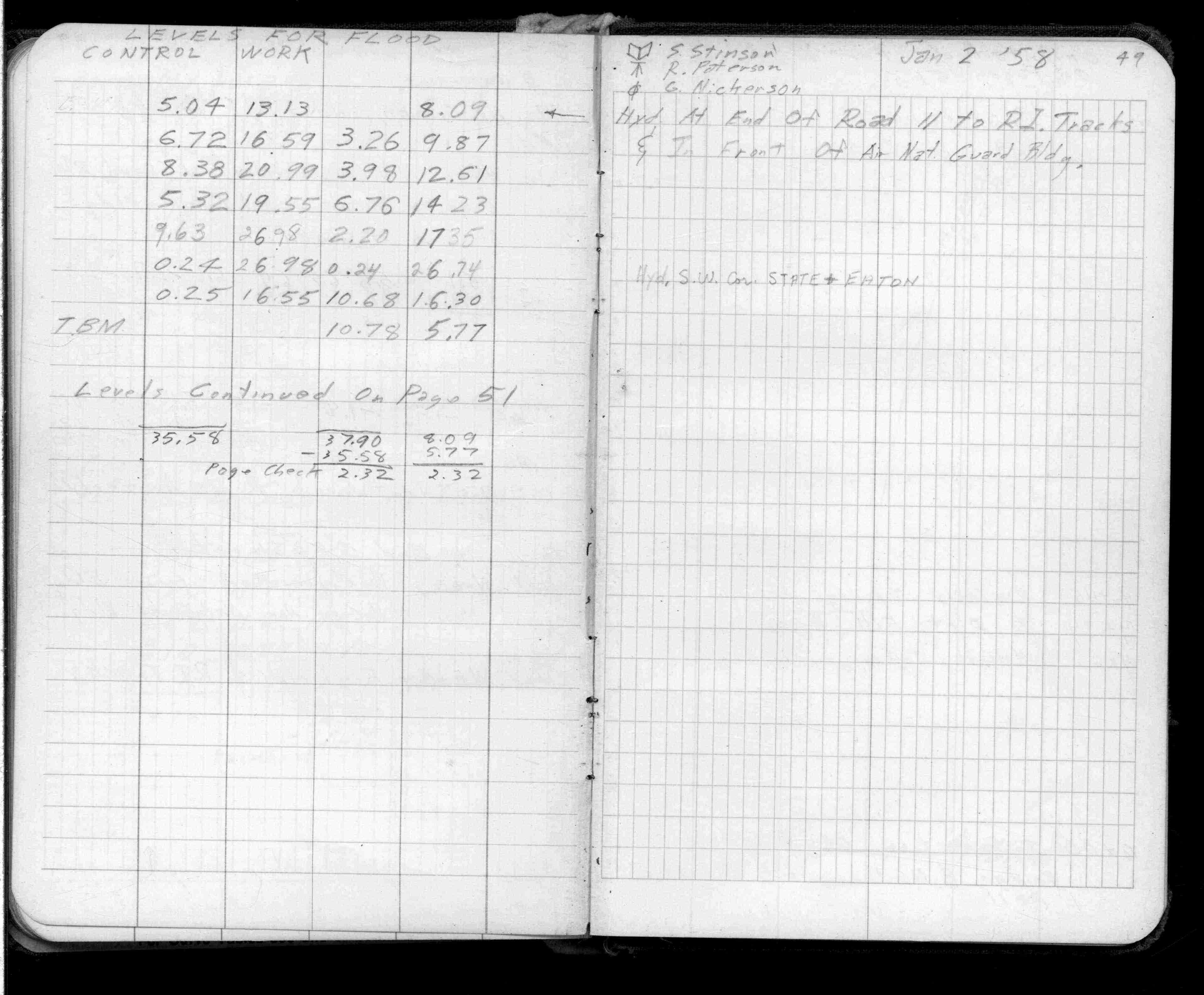
Page(s) 48-49
Southery Rd Near DownTown Airport
FROM
Bayfield St & RI Tracks
TO
Hyd @ End of Road
| X-Secs & Levels | 1958-01-02
48
49
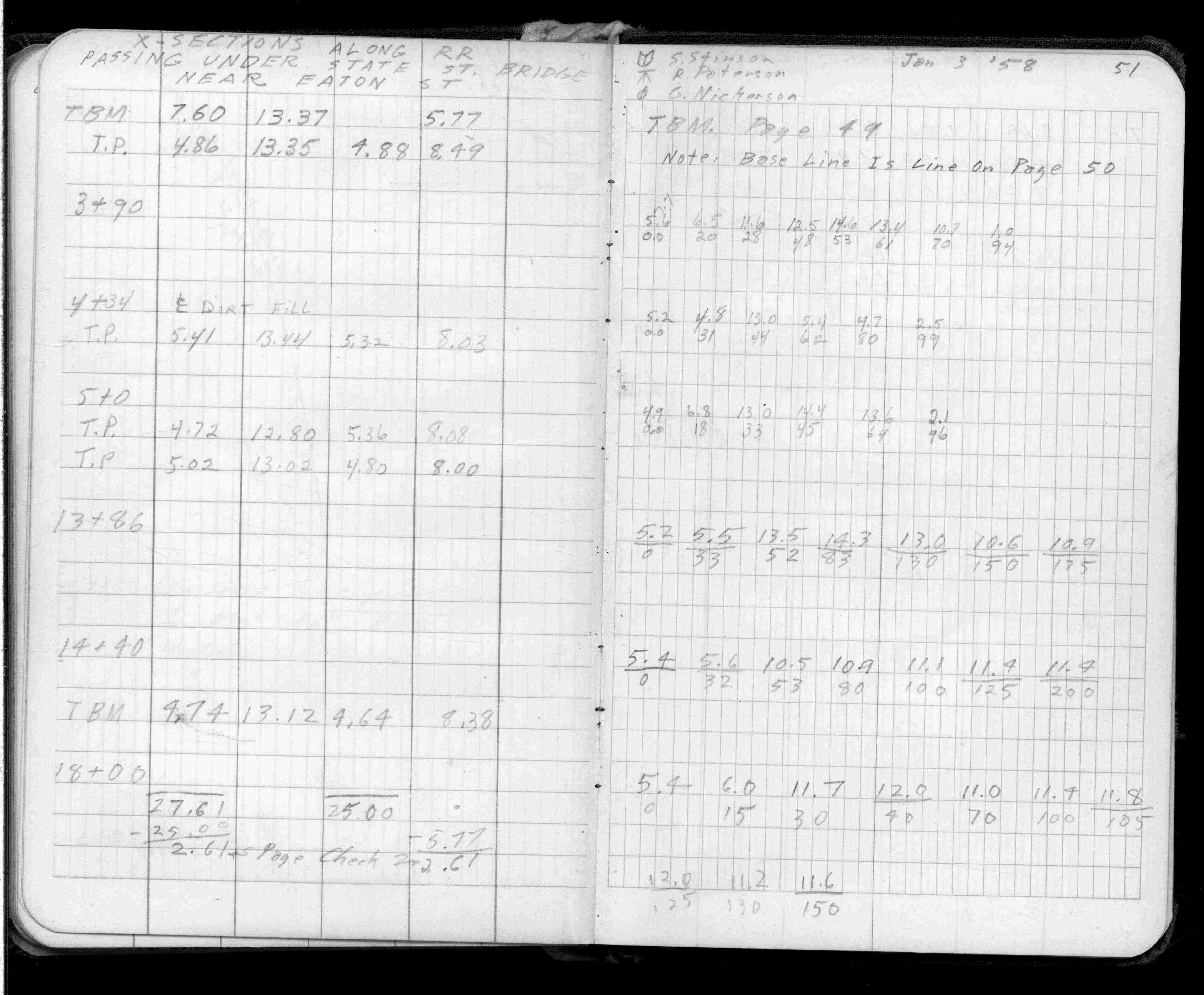
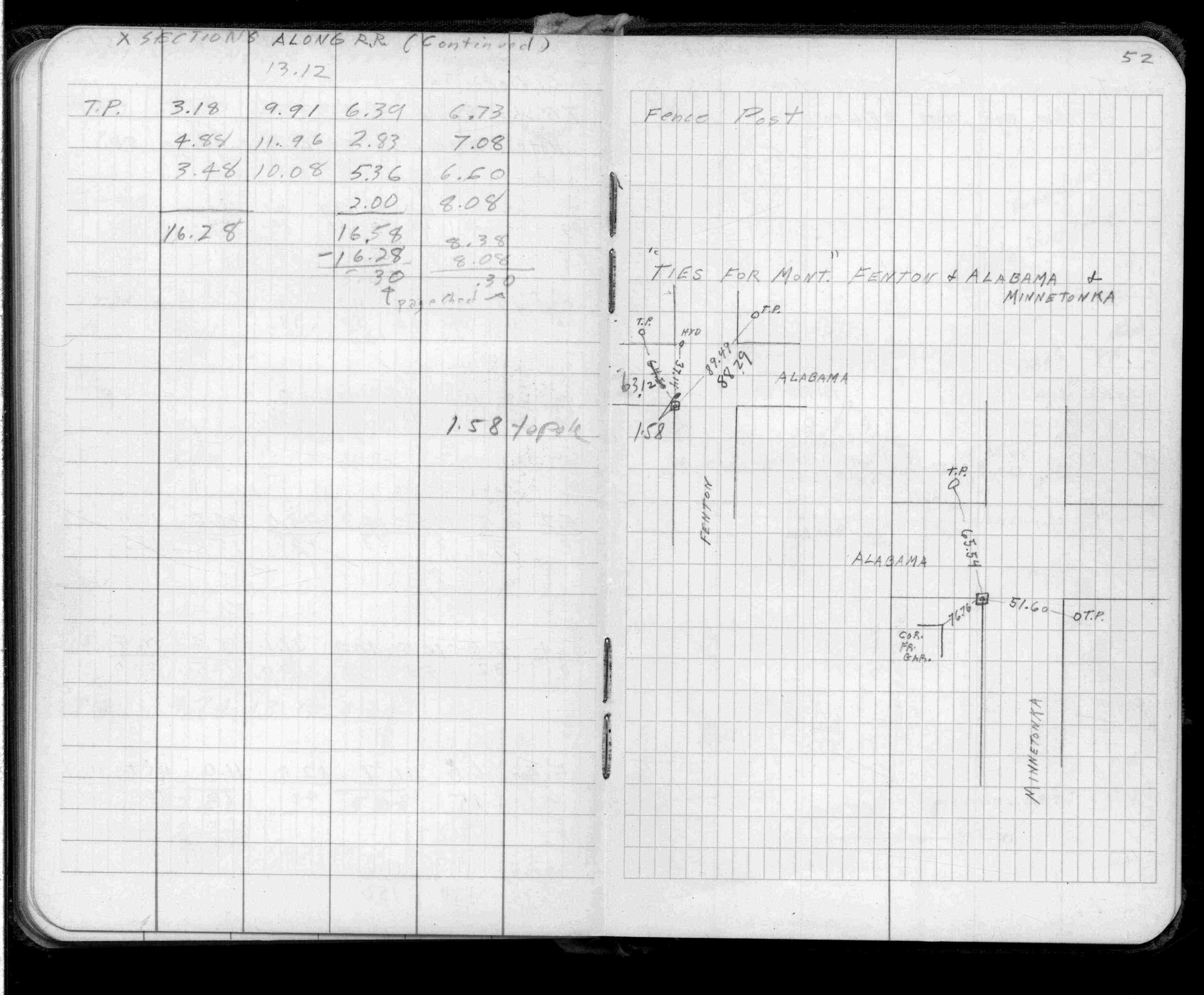
Page(s) 50-52
RR Passing Under State St Bridge
FROM
Near Eaton St
TO
Station 18+00
| Cross Sections | 1958-01-03
50
51
52
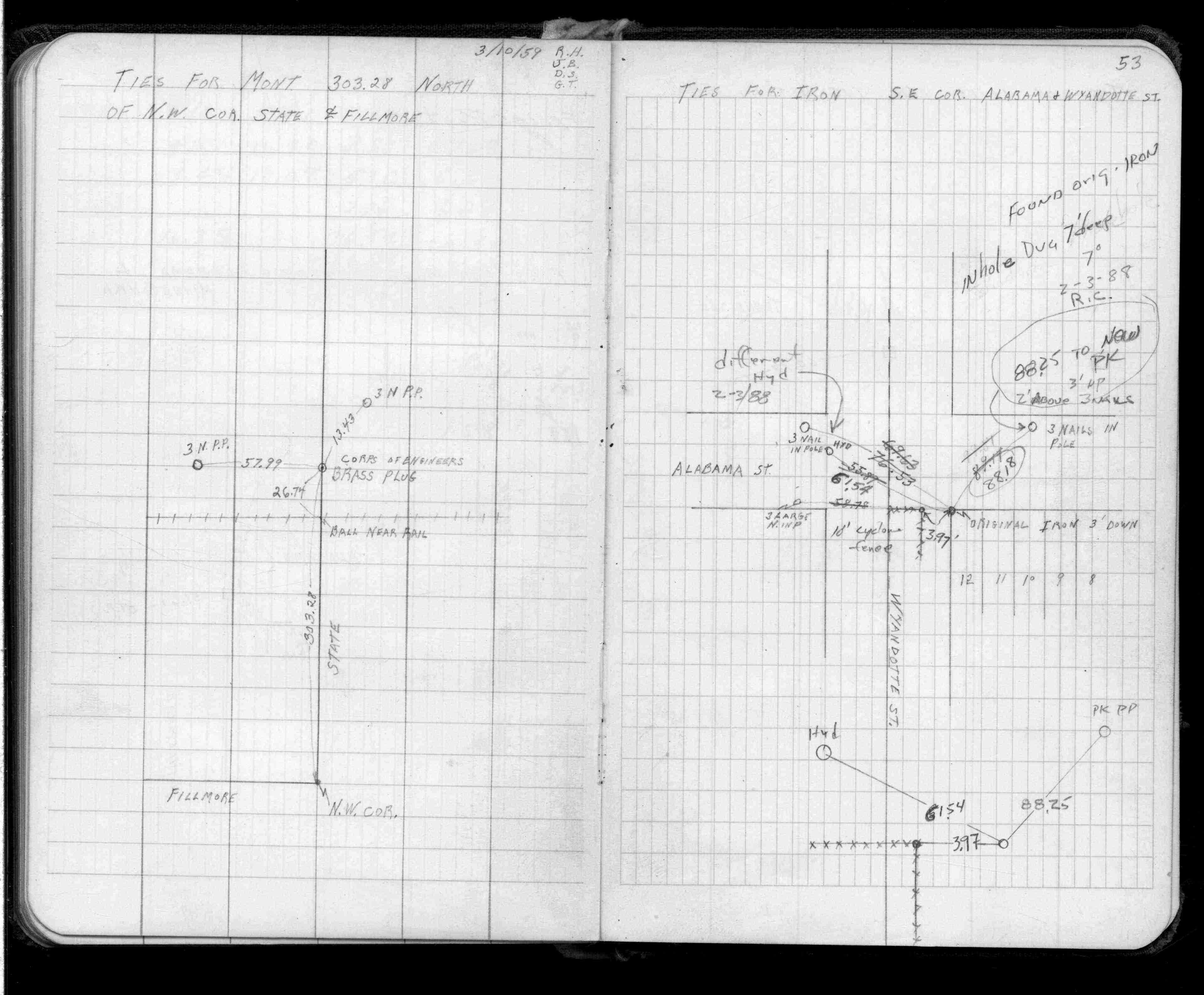
Page(s) 53
N of NW Cor State St & Fillmore Ave
| Monument Ties | 1959-03-10
53
Page(s) 53
Alabama St & Wyandotte St (Vacated)
| Monument Ties | 1959-03-10
53
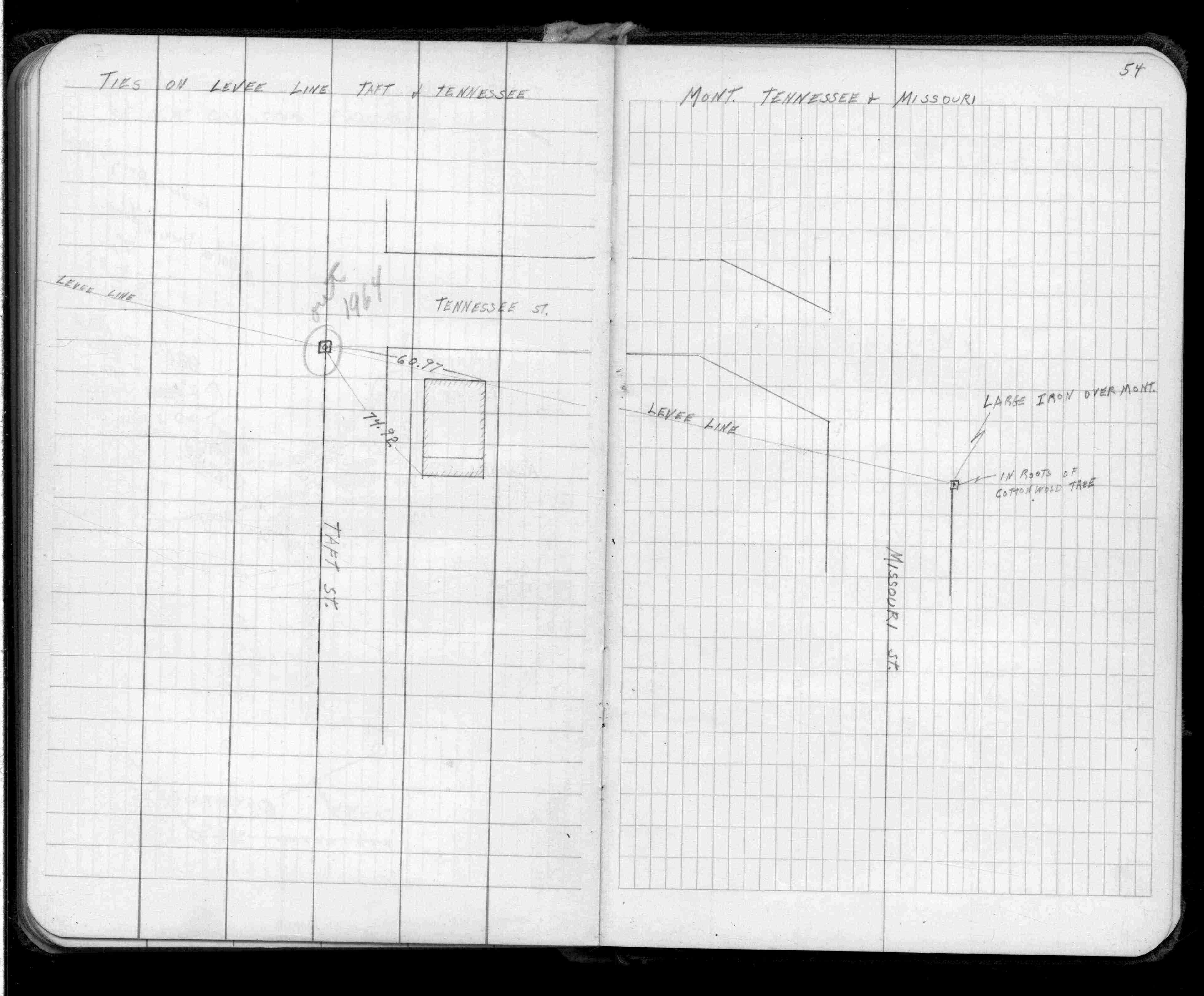
Page(s) 54
Taft & Tennessee Sts
| Ties on Levee Line | 0000-00-00
54
Page(s) 54
Tennesse St & Missouri Sts
| Monument Location | 0000-00-00
54
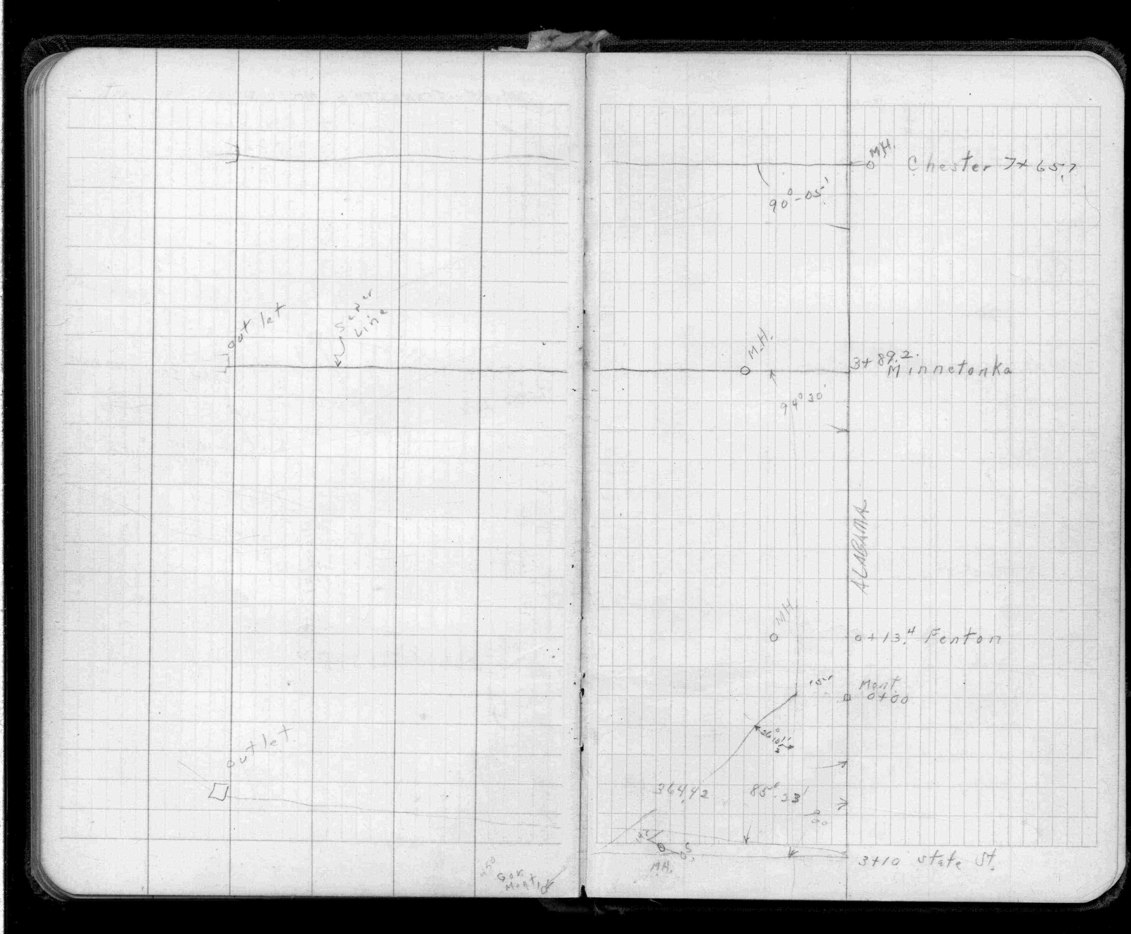
Page(s) 55-56
Alabama St
FROM
State St
TO
Fenton St (Vacated)
| Locations | 0000-00-00
55
56
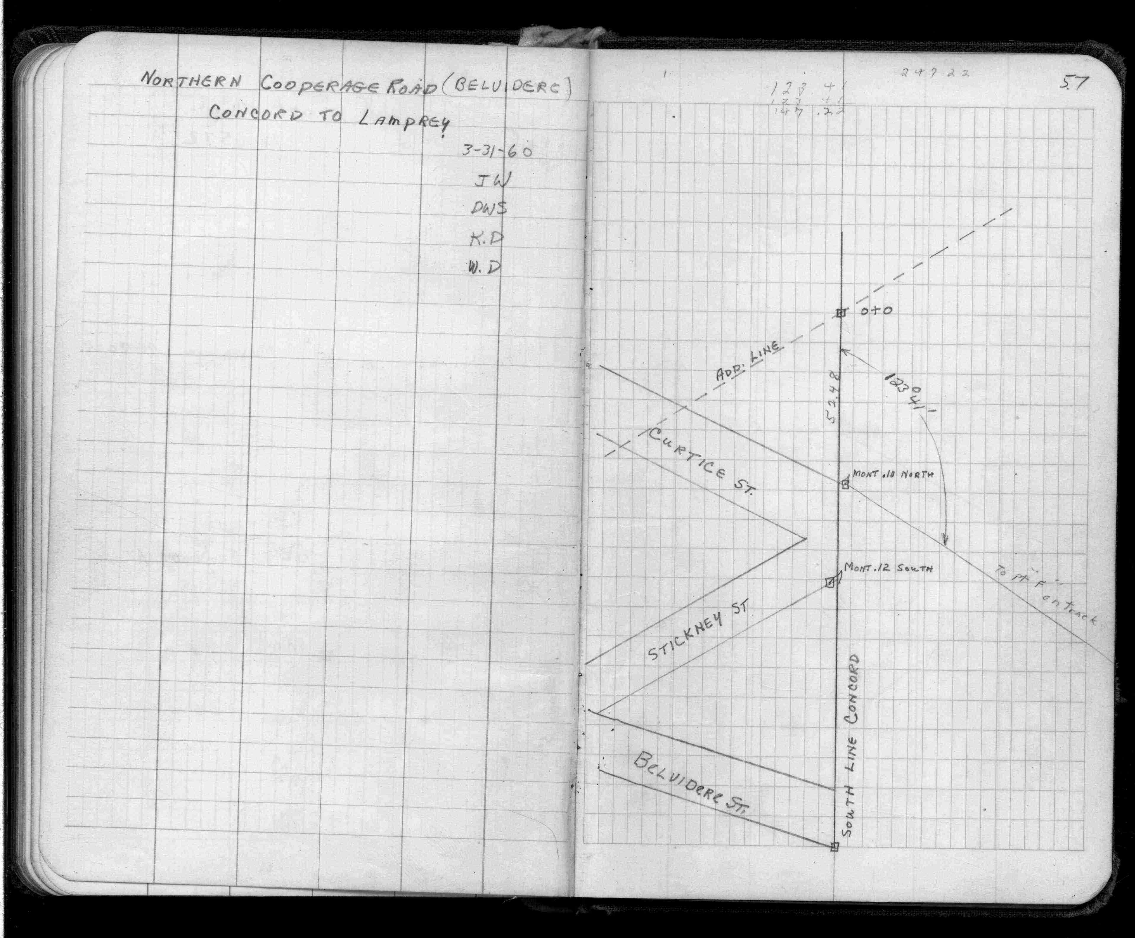
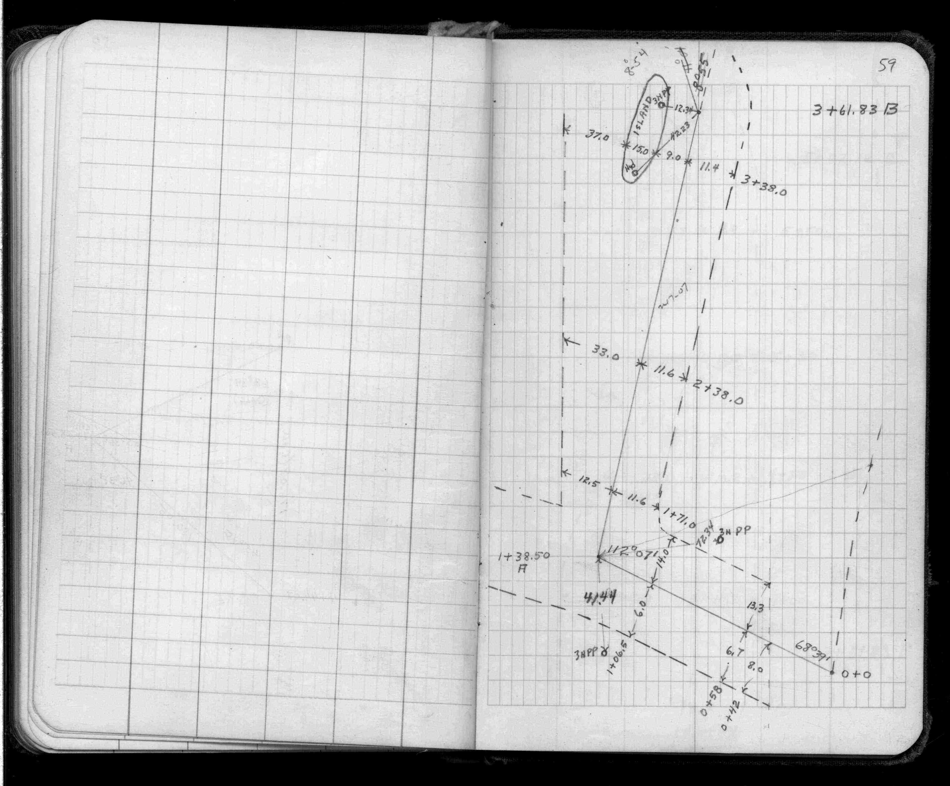
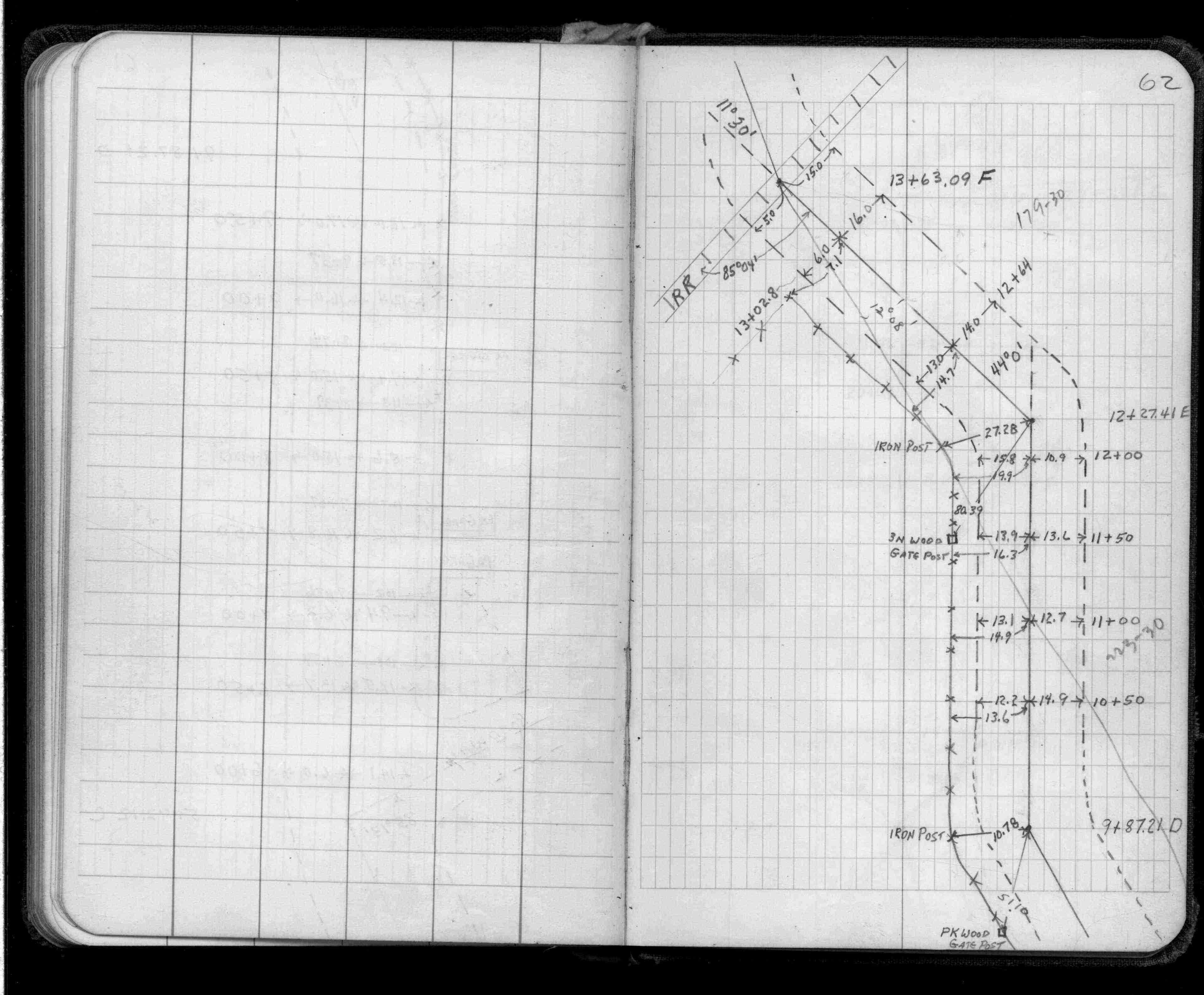
Page(s) 57-64
Belvidere St
FROM
Concord St
TO
Lamprey (Adrian) St
| Locations | 1960-03-31
57
58
59
60
61
62
63
64
Page(s) 65
Dakota County Fill Pit Road
FROM
East Edge Asphalt on Oakdale Ave
TO
Sta 10+34 (WalkGate to House)
| Widths | 0000-00-00
65
Page(s) 66
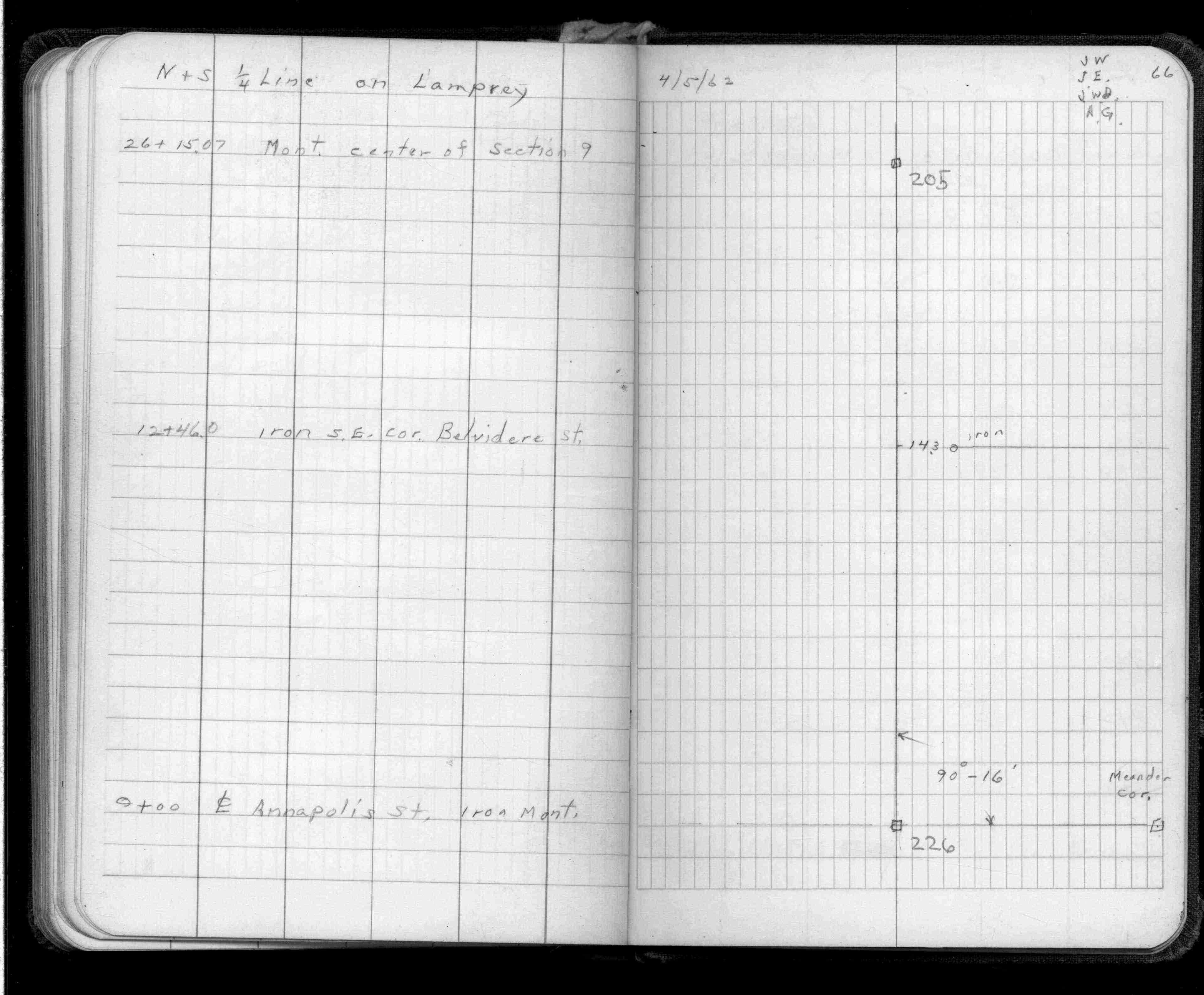
NS 1/4 Line Lamprey (Adrian) St
FROM
Annapolis St
TO
Monument Center of Sec 9
| Locations | 1962-04-05
66
Page(s) 67
Third (3rd) St
FROM
Broadway
TO
East
| Cen Line Profile | 1965-04-09
67
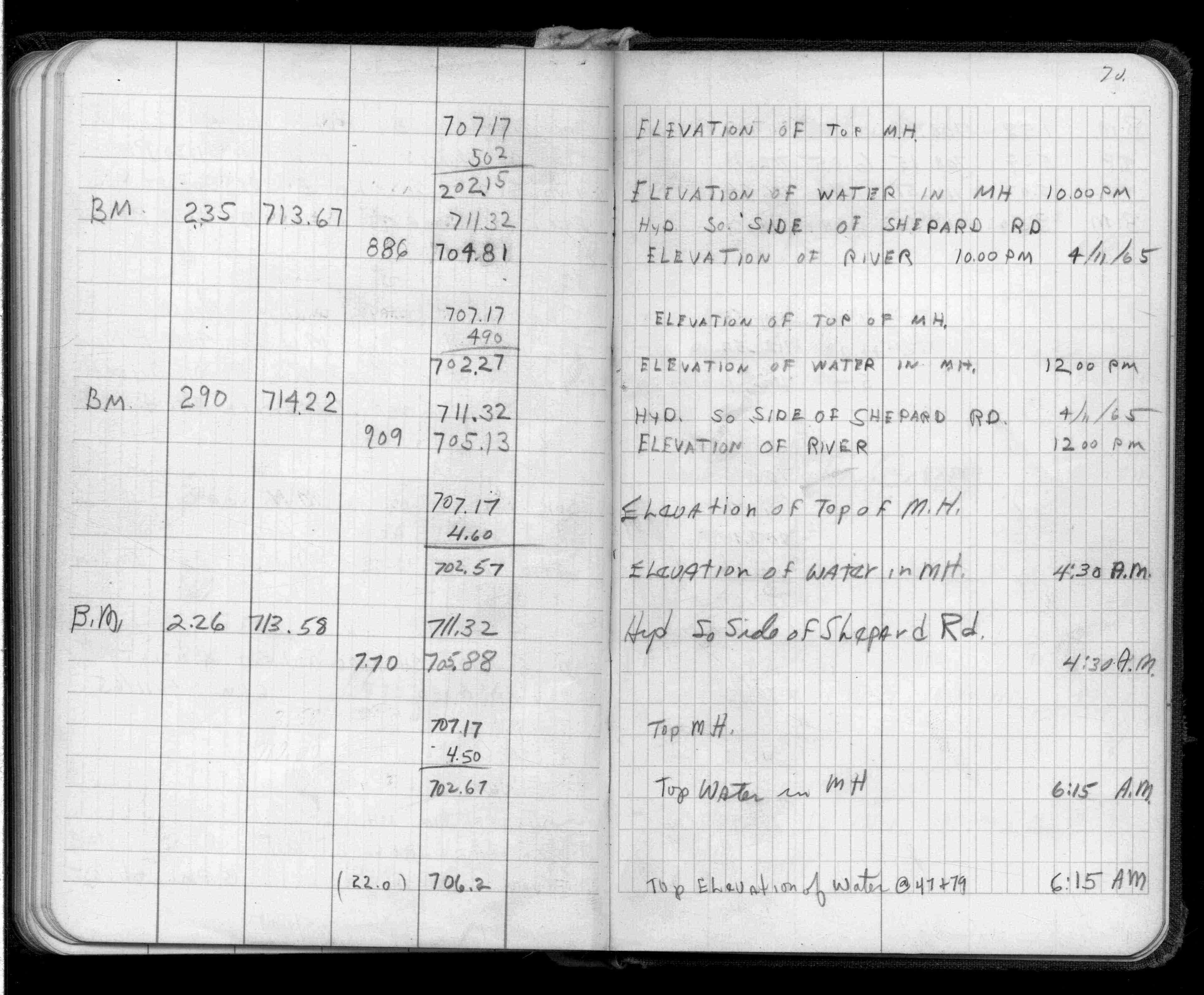
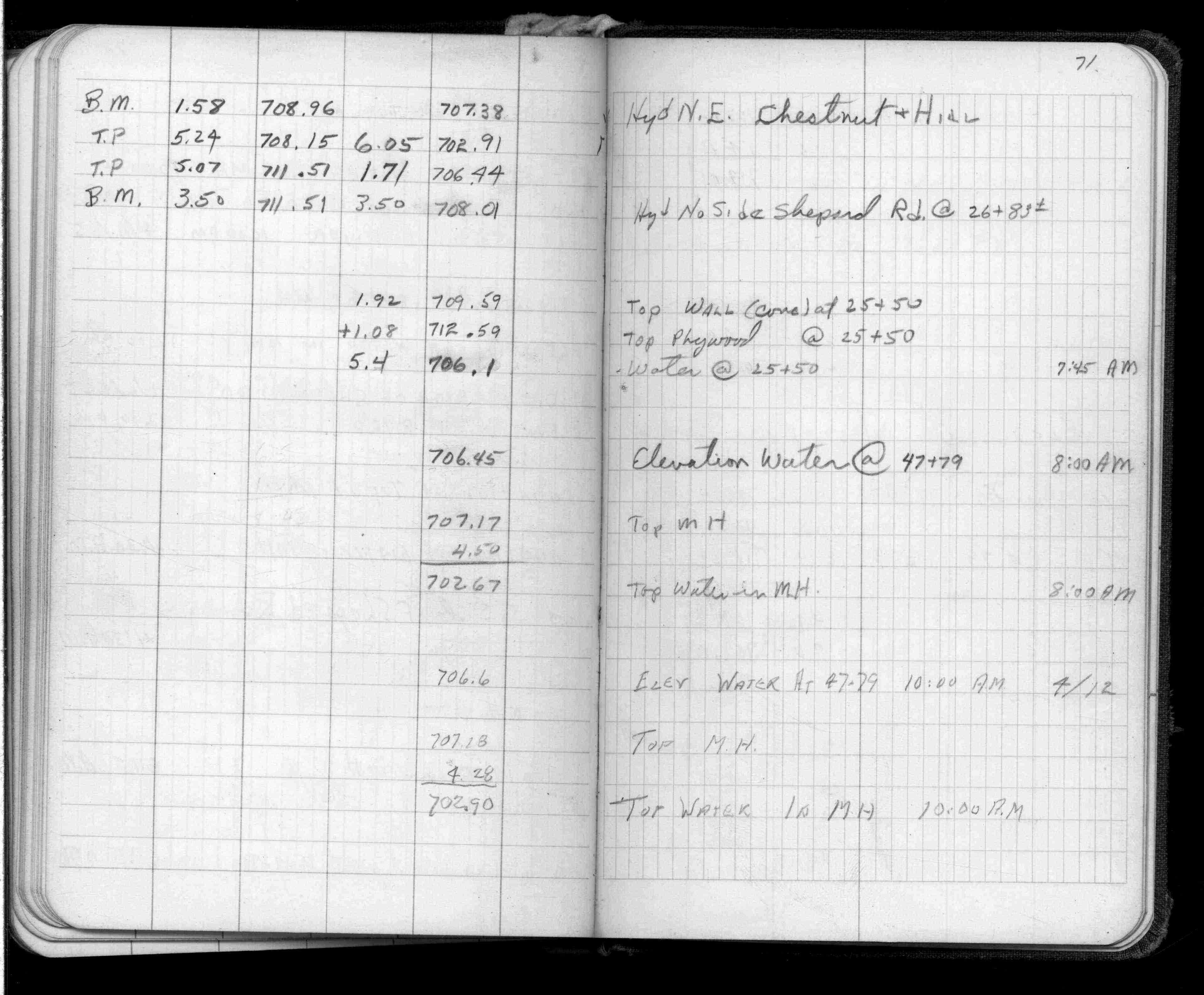
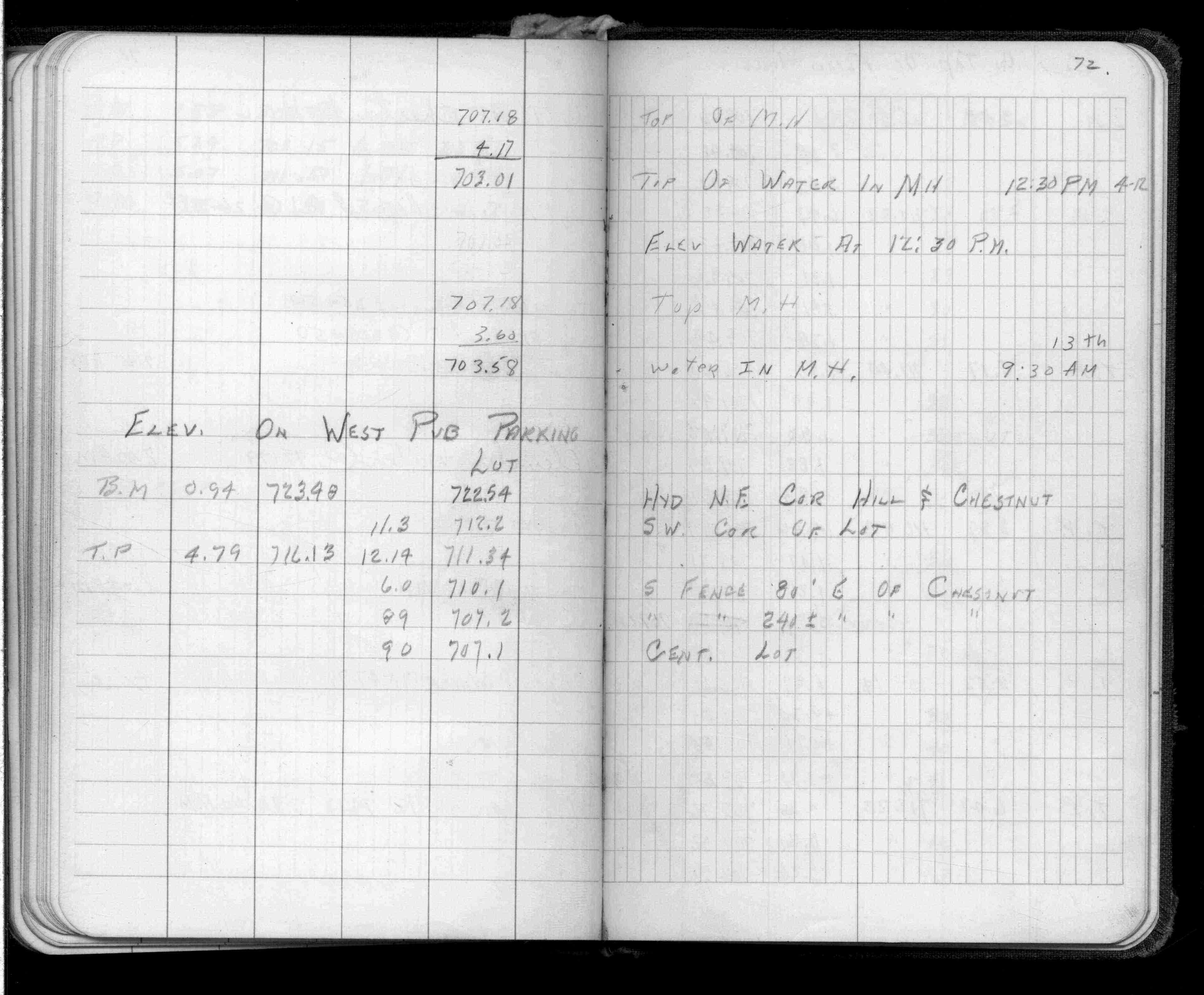
Page(s) 68-72
Levee
FROM
Plug Wabasha St Br Pier
TO
Chestnut St & Hill St (Vacated)
| BM & Elevations | 0000-00-00
68
69
70
71
72
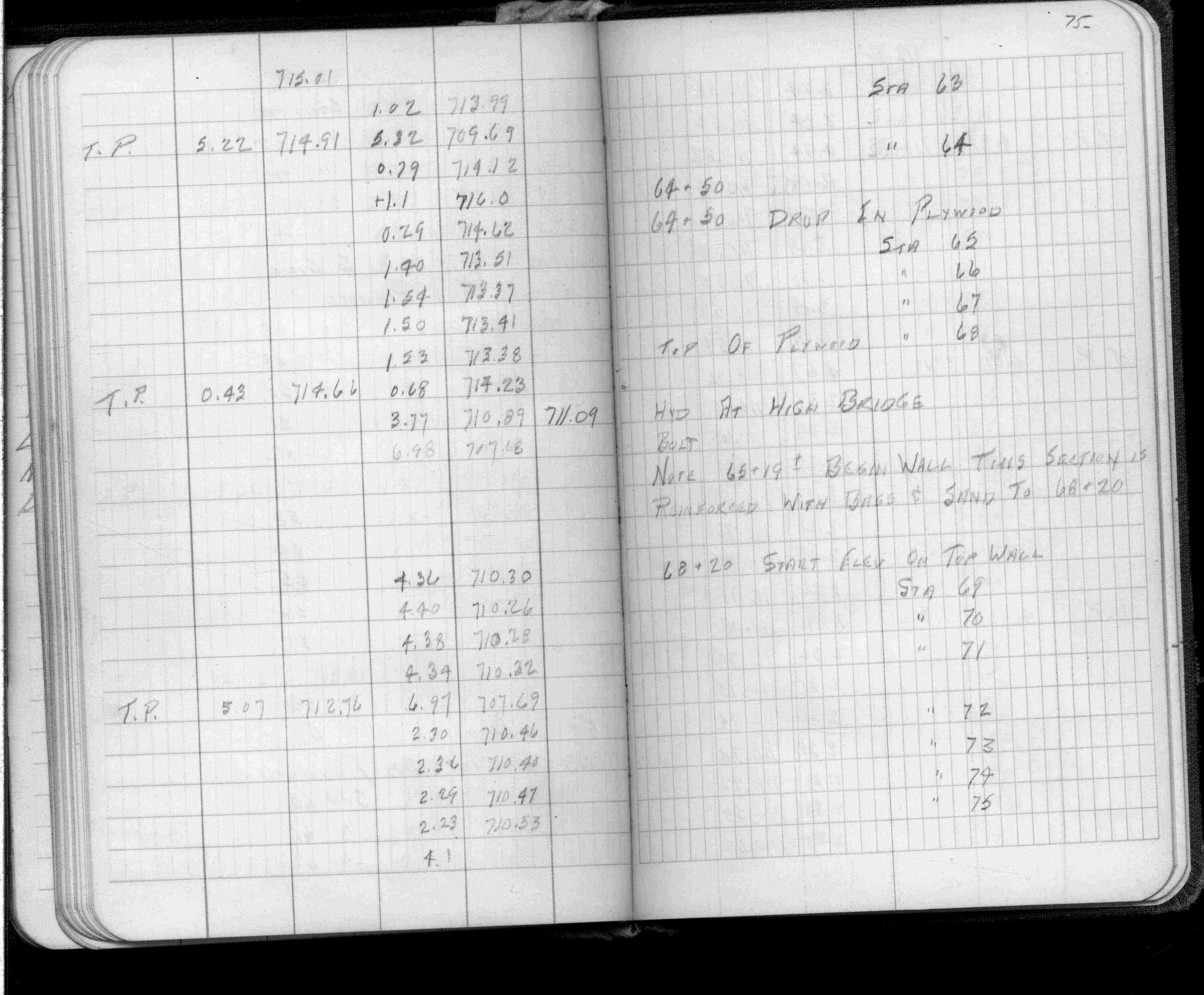
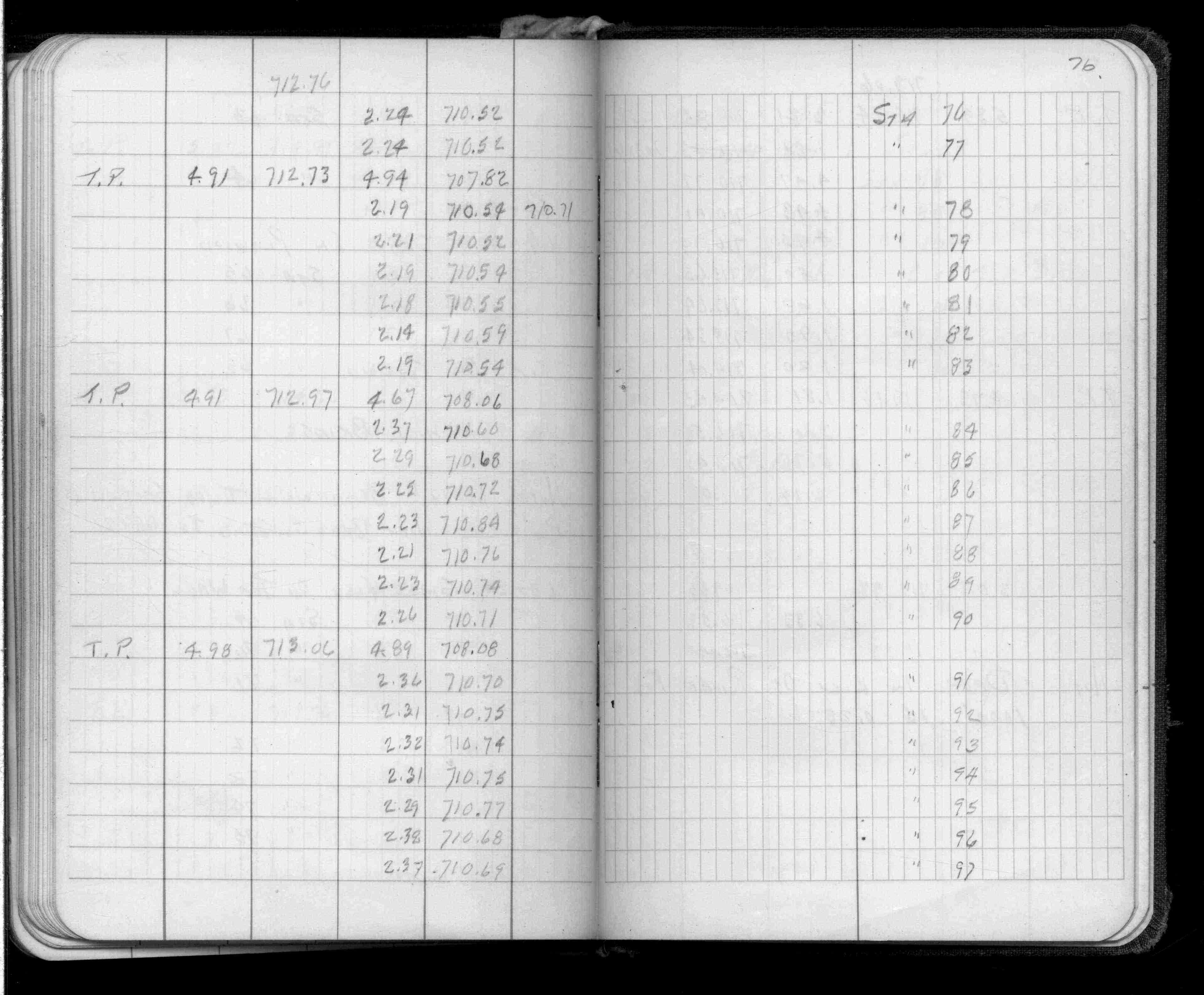
Page(s) 73-77
Flood Wall
FROM
Flood Wall Station 25+54
TO
Station 106+30
| Elev On Wall Top | 0000-00-00
73
74
75
76
77
Page(s) 78
Page Voided
FROM
Voided
TO
Voided
| Voided | 0000-00-00
78
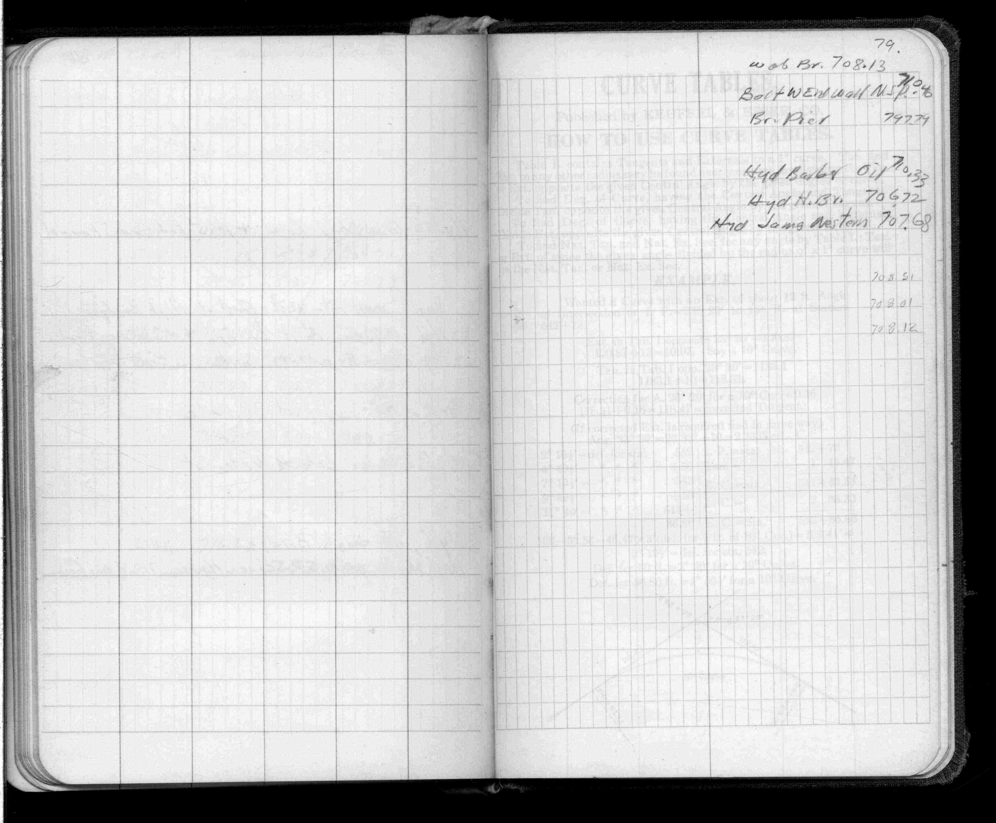
Page(s) 79
James & Western Aves
| Elevations | 0000-00-00
79
Page(s) 80
Blank Page
FROM
Blank
TO
Blank
| Blank | 0000-00-00