| NAD83 COORDINATES (1986 adj.): |
|---|
| X= 574312.649 Y= 164649.053 Z= 000.00 LSQ 12/27/1995 STB |
| X= 574312.67 Y= 164649.09 Z= 852.4 1/21/2010 RTK-VRS |
| 7/21/2014 | GM removed during sidewalk reconstruction project. Of the tie objects from the 2010 tie sheet, all remain in place except for the hydrant. |
| 1/21/2010 | Placed ties on the GM. See CofL 2832-0494A-A.pdf. Photos taken. |
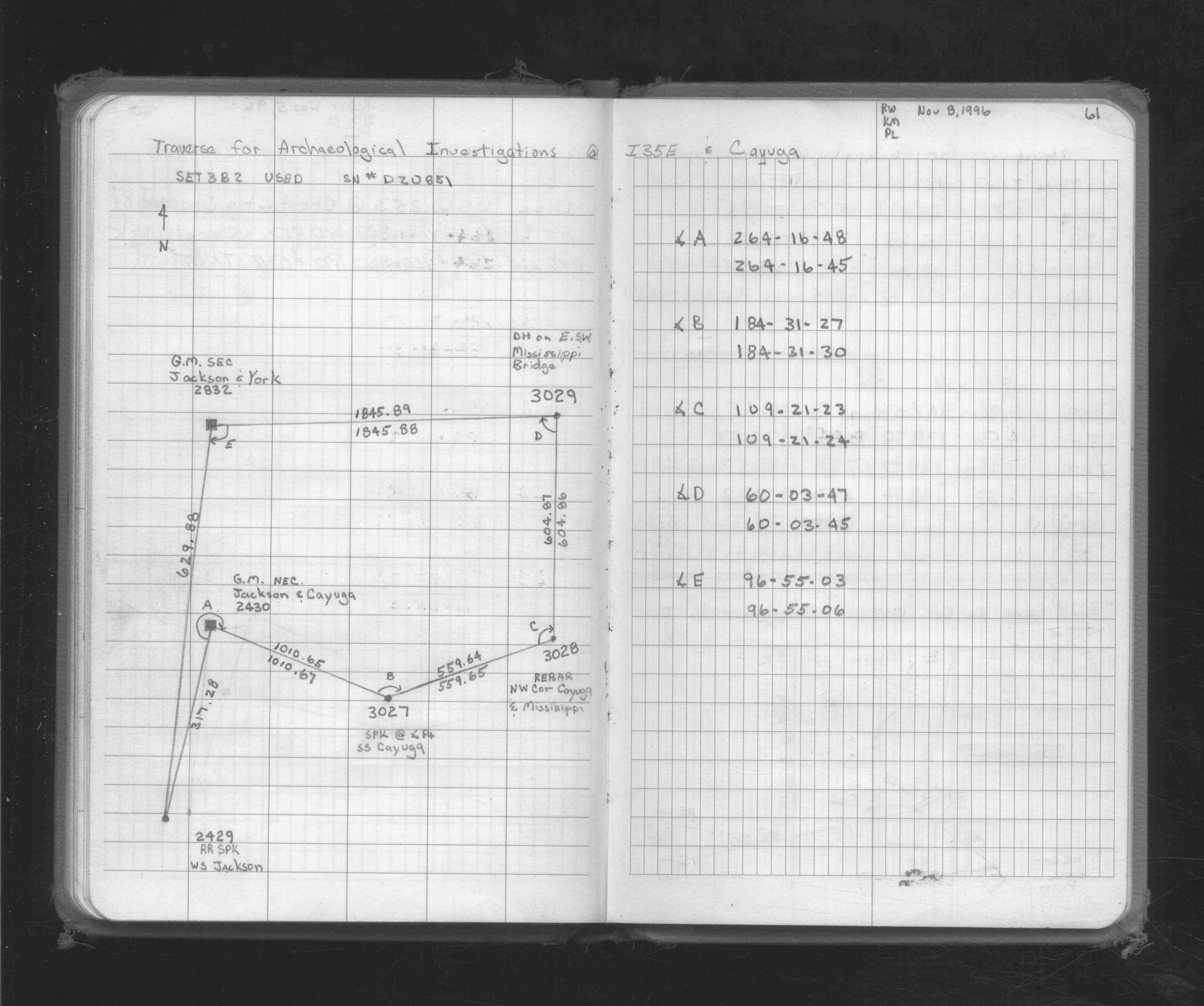
| 11/8/1996 | Traversed through GM. See FB 1719A p.61 |
| 1/22/1890 | Monument reset by Chas A Hunt. See Old Index Book, Entry 492 |
Above is NOT an all inclusive history of this point. Please review all the links below.
| PLS NOTES | Field | Cross Section | Sewer | J.B. Irvine | Monument | River Survey |
|---|---|---|---|---|---|---|
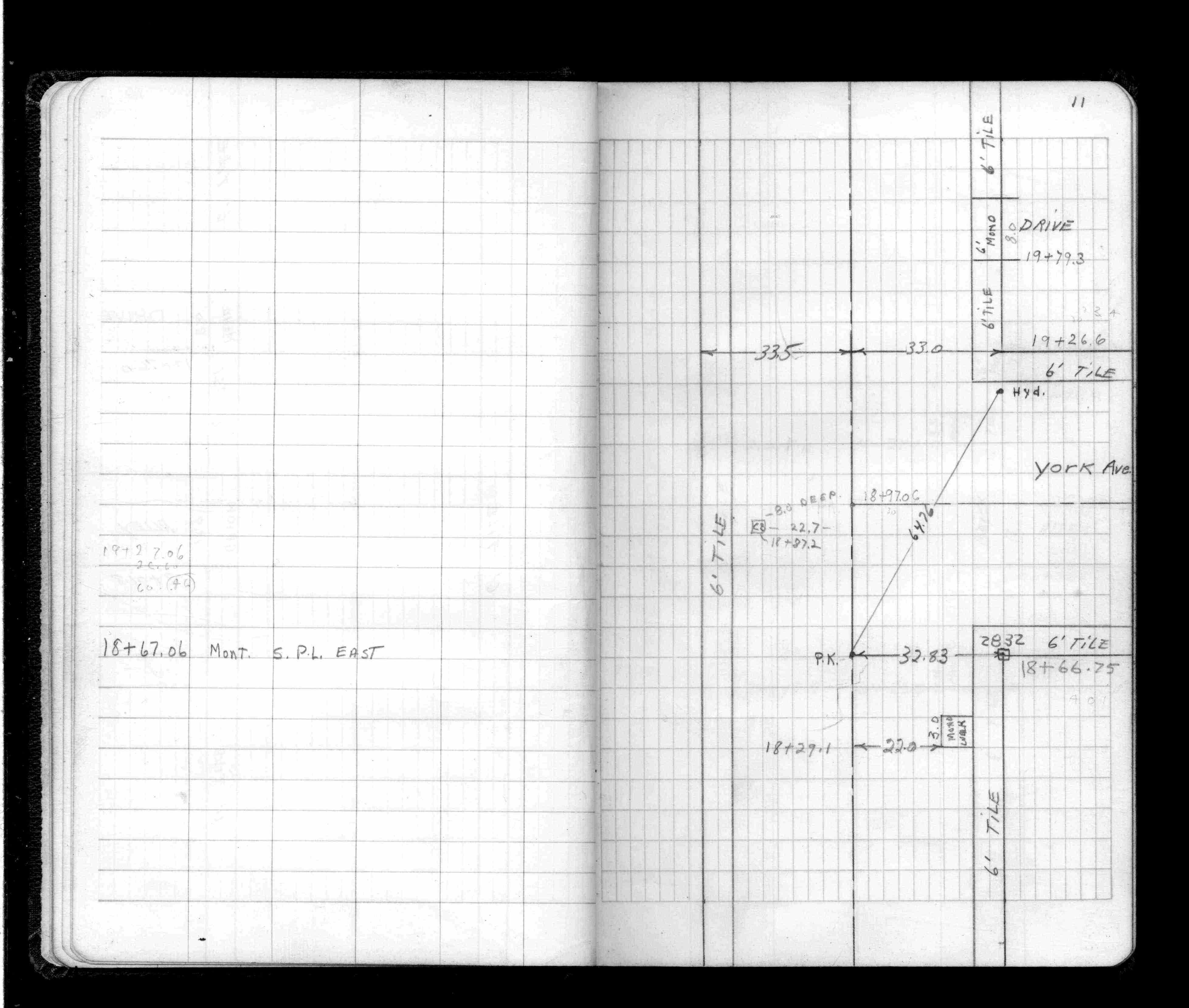
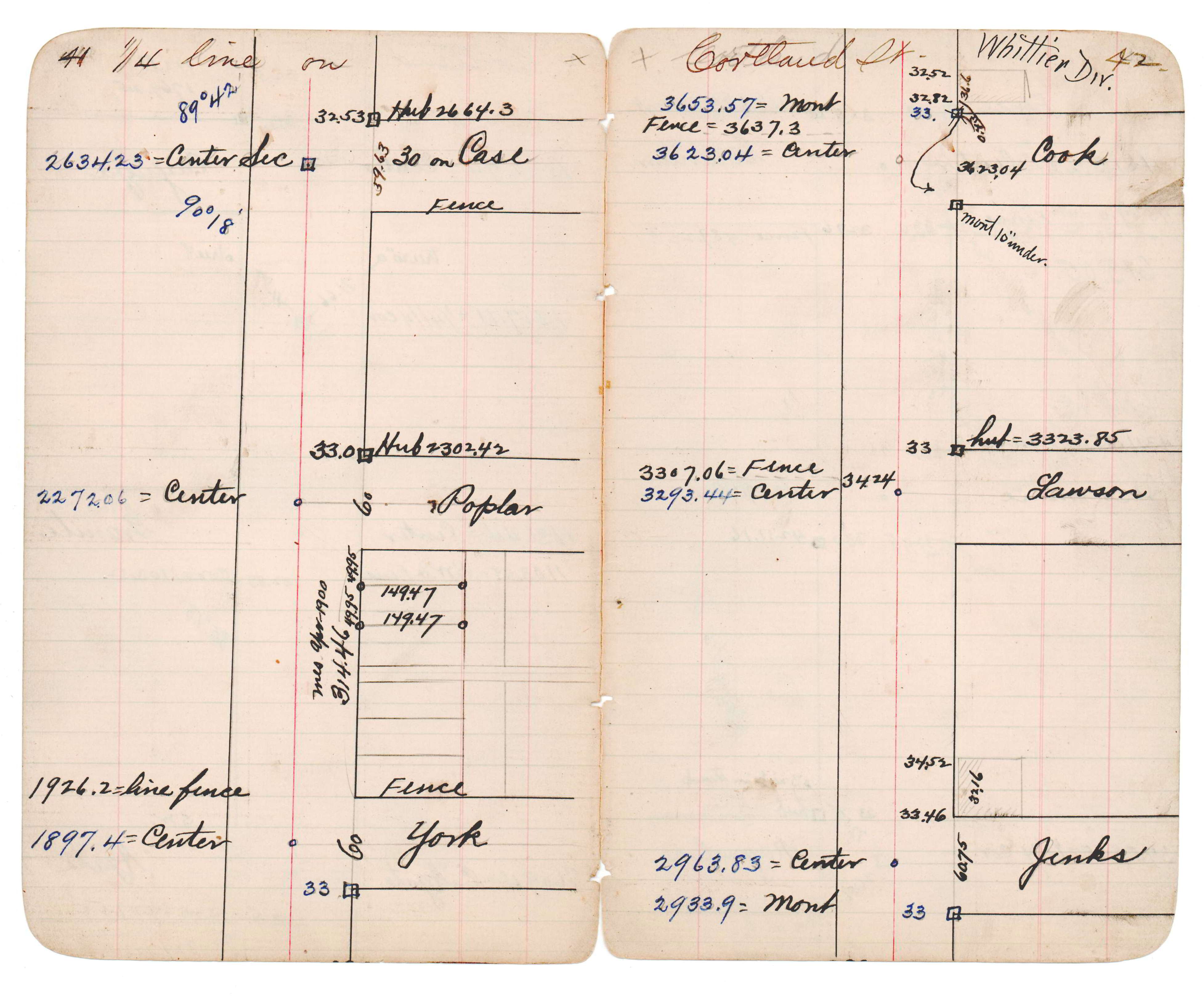
| FB 1512p.11 | JBI 14 p.41-42 | |||||
| FB 1719Ap.61 | ||||||
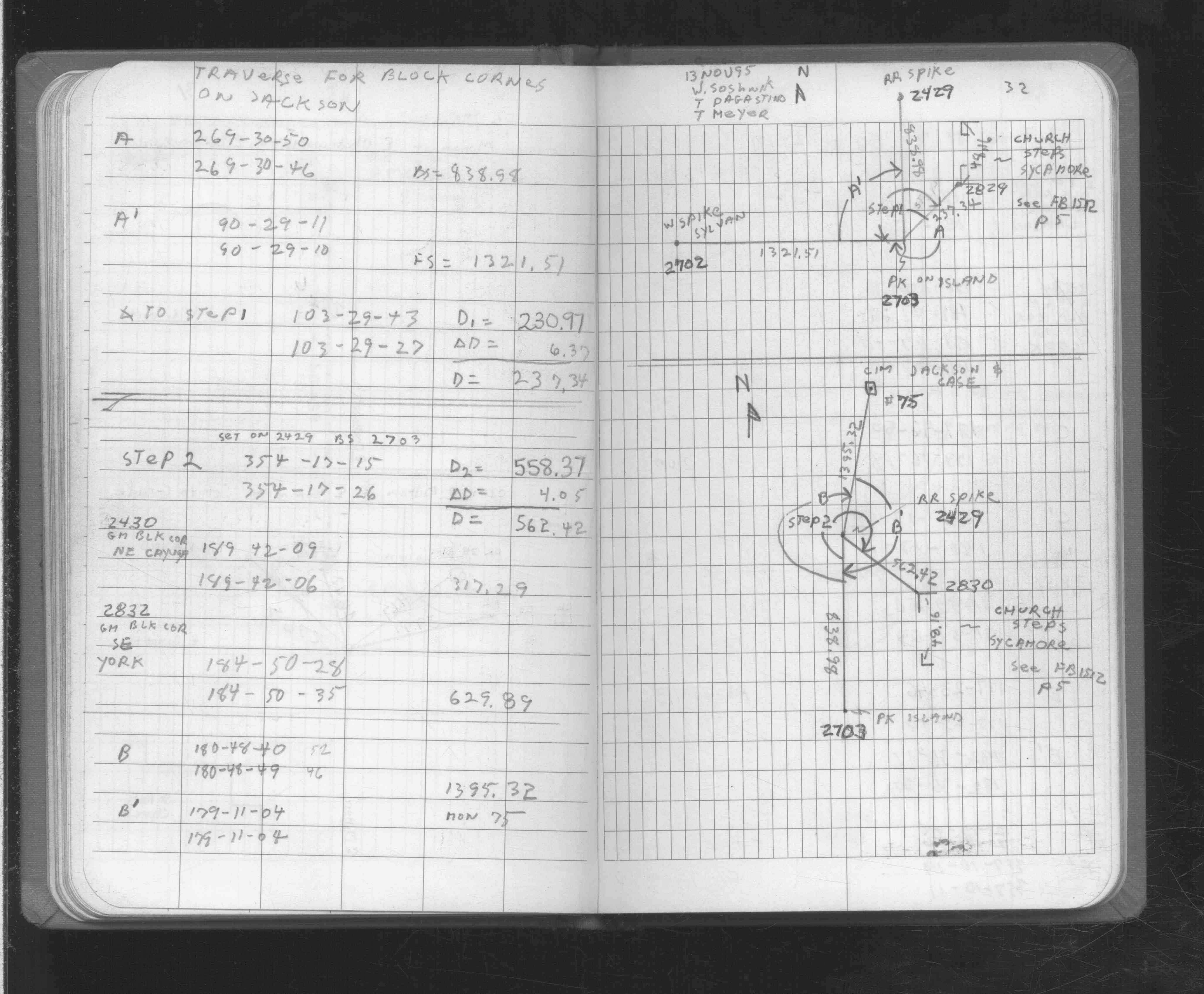
| FB 1725p.32 |
| FILE | SURVEYOR | LIC. NO. | DATE SIGNED | DATE TIED |
|---|---|---|---|---|
| 2832-0494A-A.pdf | Samuel D. Gibson | 44880 | February 3, 2010 | January 21, 2010 |
| FILE | PHOTO DATE | COMMENTS |
|---|---|---|
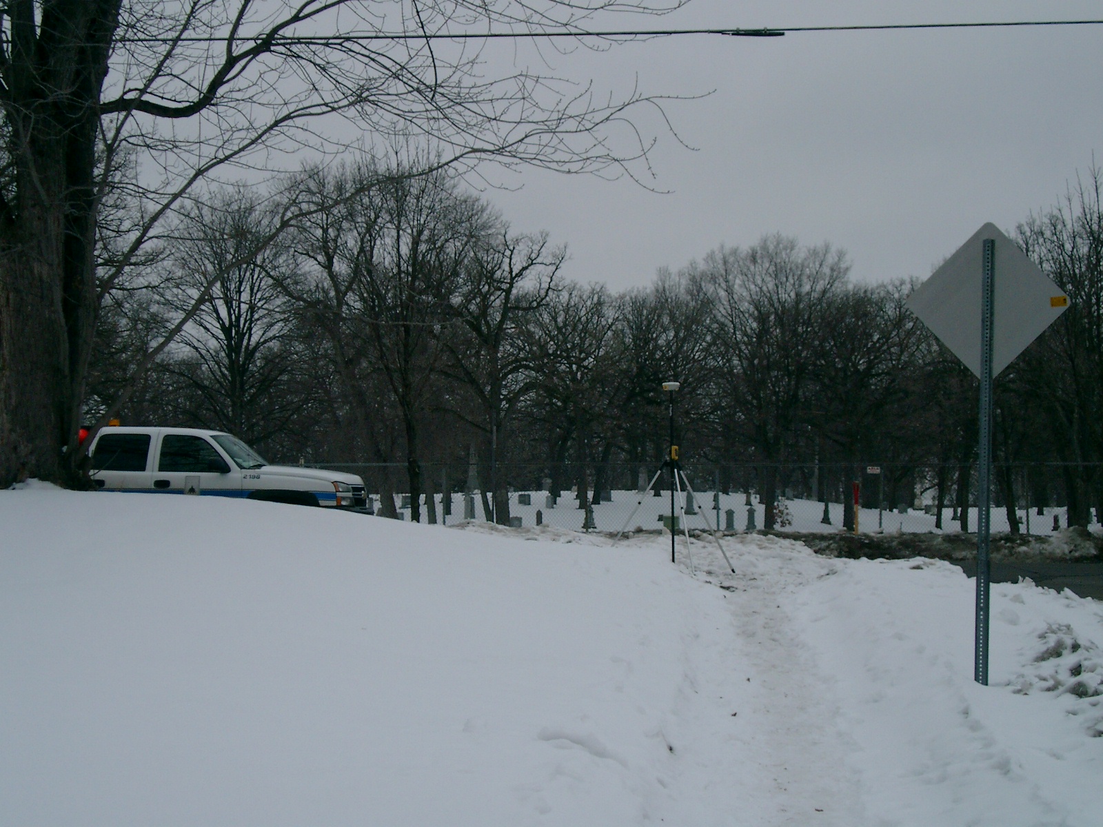
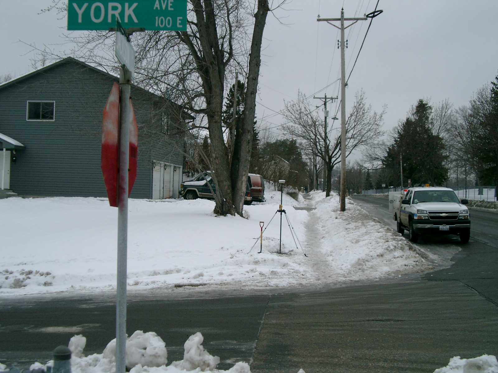
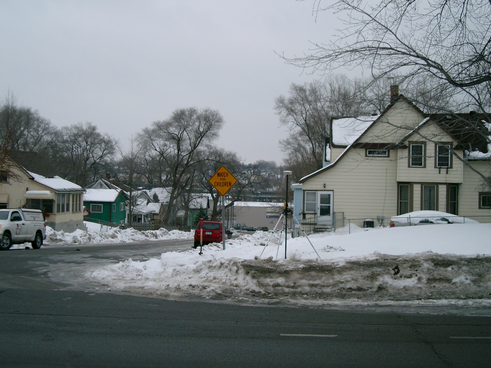
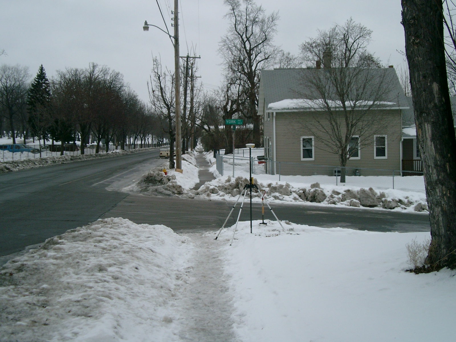
| 2832-0494A-5.jpg | January 21, 2010 | Looking West along the South side of York Ave. |
| 2832-0494A-4.jpg | January 21, 2010 | Looking South along the East side of Jackson St. |
| 2832-0494A-3.jpg | January 21, 2010 | Looking East along the South side of York Ave. |
| 2832-0494A-2.jpg | January 21, 2010 | Looking North along the East side of Jackson St. |
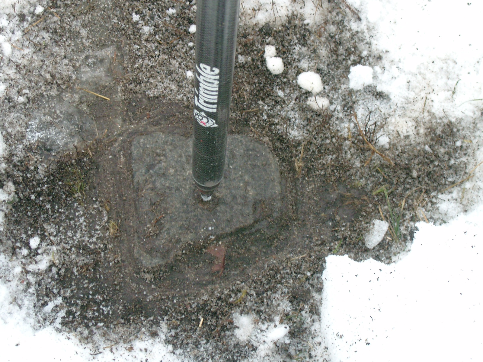
| 2832-0494A-1.jpg | January 21, 2010 | Close-up of the GM. |